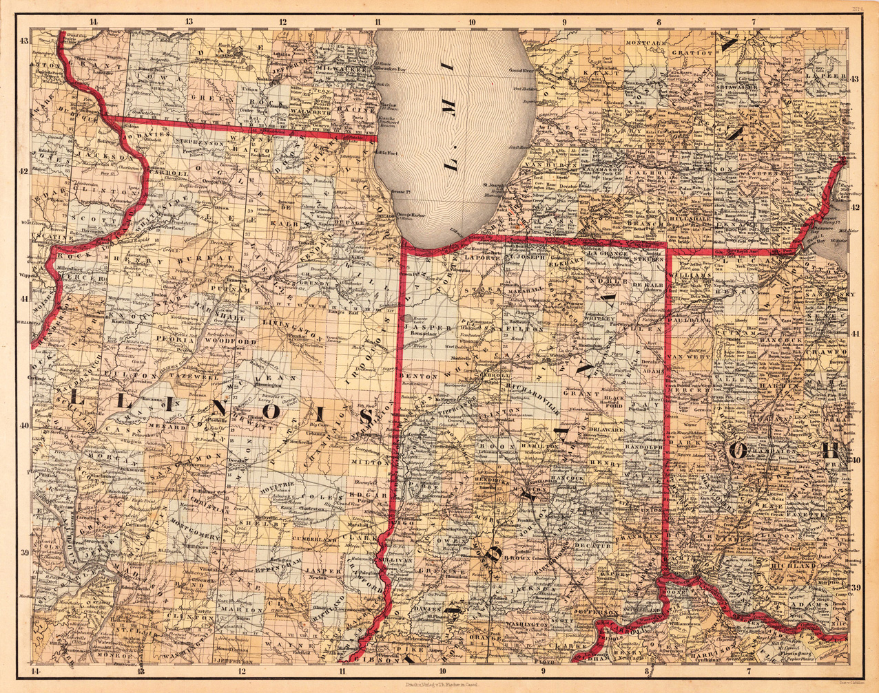
Lithograph, original color in outline and wash. This decorative map shows Illinois, Indiana and a part of Ohio. Further the southern part of Lake Michigan is shown. Inside the map are many place names, rivers, lakes, etc. engraved. The various counties are colored in wash and explicitly detailed named. This is one sheet (map no 6) of Calvin Smith's famous map of North America. Here is the rare version in lithograph present, published in Cassel in Germany. A splendid detailed map, showing nicely Illinois, Indiana, the southern part of Lake Michigan and adjacenting states. The map is highly detailed colored in outline and wash by counties and states, many place names, streets or routes, rivers, mountains, etc. are shown.
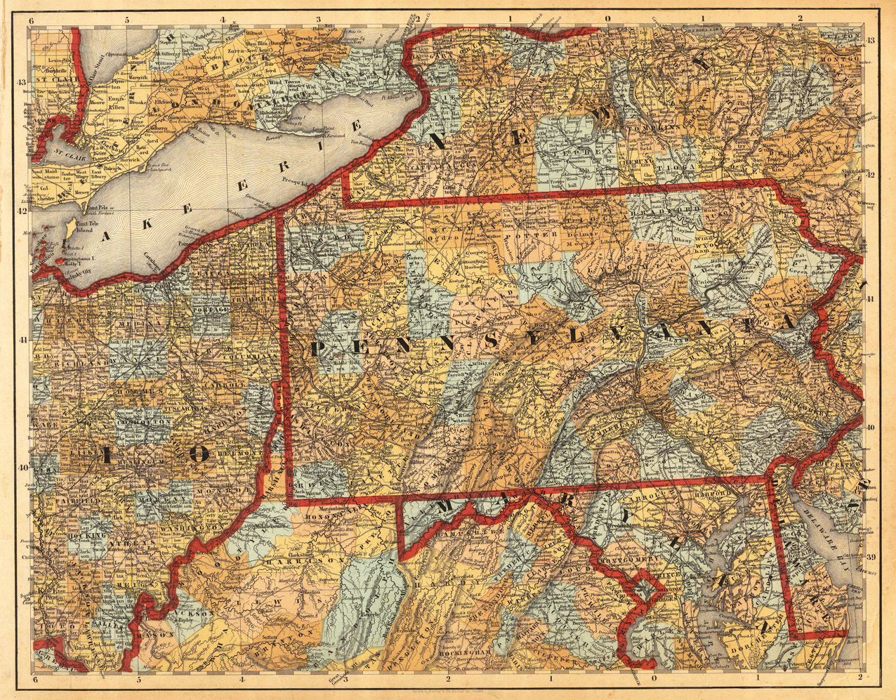
Lithograph, hand colored in outline and wash when published. This antique map shows prominent in its centre the state of Pennsylvania with its neighboring states New York, Ohio, Delaware, Maryland and Virginia. Inside the map are many place names, rivers, lakes, mountains, railroads, etc. Many counties are named and finely hand colored in wash. A detailed map of this part of the Eastern United States by the famous 19th century mapmaker and cartographer Calvin Smith. This is one sheet (map no 7) of Calvin Smith's famous map of North America. Here is the rare version in lithograph present, published in Cassel in Germany. A splendid detailed map, showing nicely Pennsylvania and adjacenting parts. The map is highly detailed colored in outline and wash by counties and states. An interesting collector's piece.
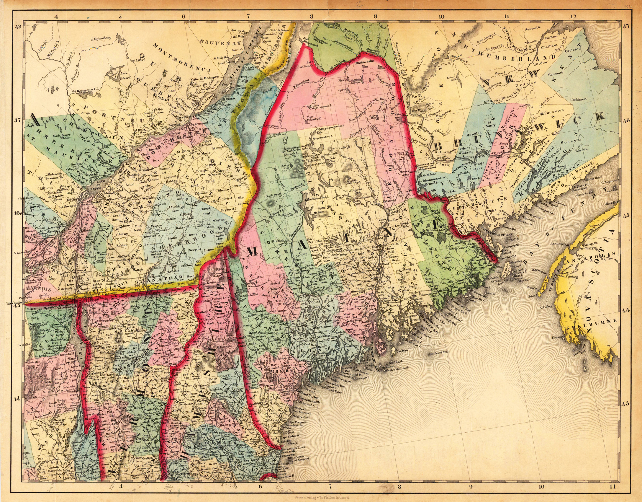
Lithograph, hand colored in outline and wash when published. This antique map shows prominent in its centre the state of Maine with its neighboring states Vermont, New Hampshire and New Brunswick. The map extends from Salisbury in the south towards New Brunswick and the neighboring Nova Scotia. Inside the map are many place names, rivers, lakes, mountains, railroads, etc. Many counties are named and finely hand colored in wash. A detailed map of this part of the Northeastern United States by the famous 19th century mapmaker and cartographer Calvin Smith. This is one sheet (map no 4) of Calvin Smith's famous map of North America. Here is the rare version in lithograph present, published in Cassel in Germany. A splendid detailed map, showing nicely Maine and adjacenting parts. The map is highly detailed colored in outline and wash by counties and states. An interesting collector's piece.
Eins von 500 in der Maschine nummerierten Exemplaren (Gesamtauflage 700) mit 12 in der Graphischen Anstalt Hofe hergestellten, rechts unten im Stein vom Künstler monogrammierte Original-Lithographien, der Vorderumschlag mit einer weiteren, nicht gezählten Original-Lithographie. Die Tafeln zeigen: Hochhausbauten an der 7th avenue, 34th Street - Strasse in Midtown - Vom Pennsylvania Hotel Richtung Metropolitan tower - Penn Roofgarden Richtung 6th Avenue, 35th Street- Pennsylvania Station, Ecke 6th Avenue 34th Street- Fassade über Brook Theater - Verkehr und Konstruktionim 42nd Street Quartier - Vom Pennsylvania Hotel in die Tiefe - Elevated überquert Broadway beim Heraldsquare - Bild von der 6th Avenue und Broadway - 6th Avenue unterhalb 31st Street - Ritz Tower Park Avenue, 57th Street. - Lithographierte Umschlagillustration mit Deckeltitel: H. Welti // 12 drawings // New York // Say it with pictures.
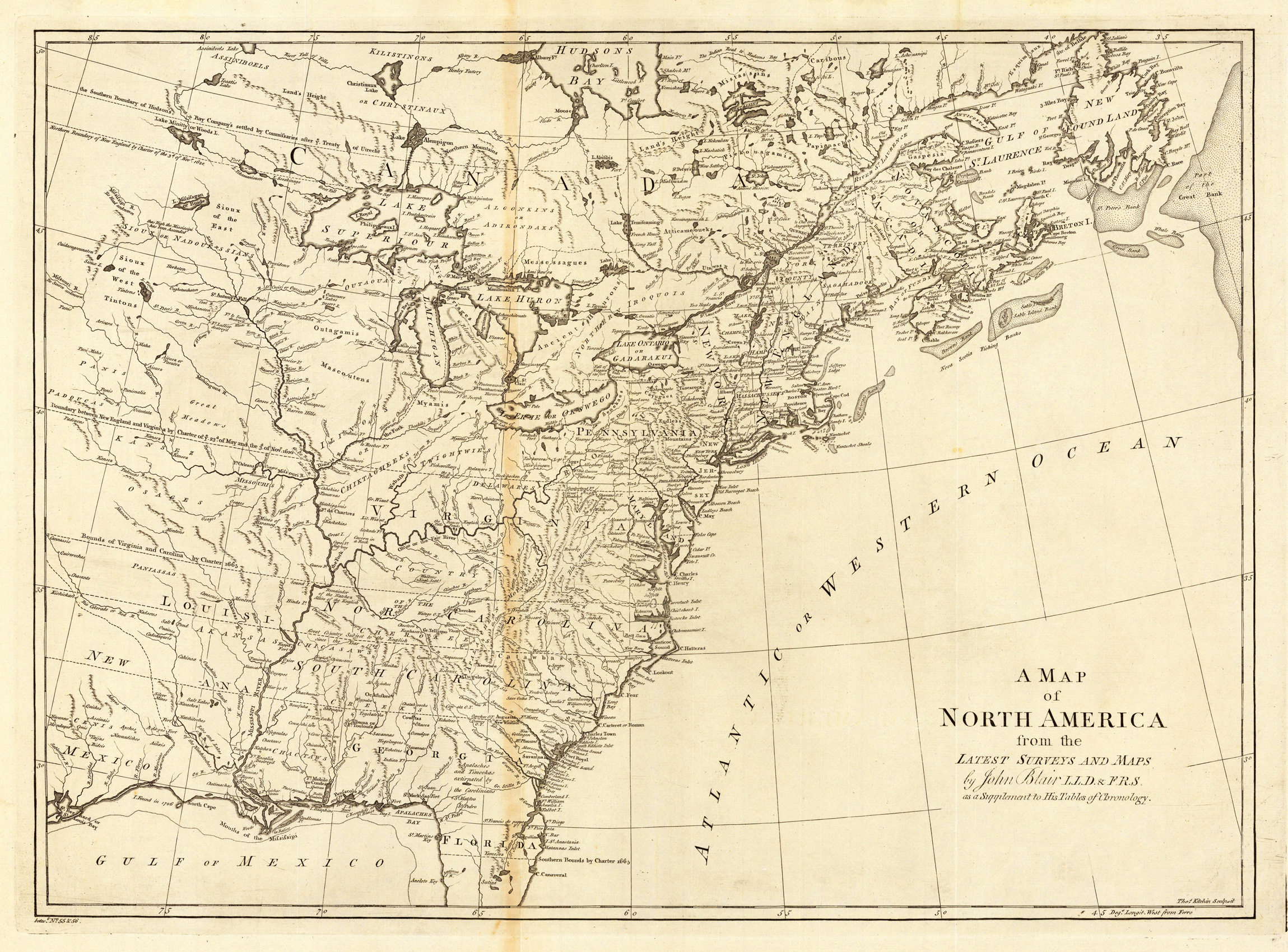
Copper-engraving, uncolored, engraved by Thomas Kitchin. Important map, showing the eastern North America, however excluding Florida and the northern Canada. Several Indian tribes and related informations are designated on the map. Four false islands are shown in lake Superior. The map is showing mainly the British North America east of the Mississippi. The southern colonies are extending as far as the Mississippi, their borders are stretching into the plains. The map is providing rich detailled information, the rivers are well designated, many names of towns are cities are shown on the map.
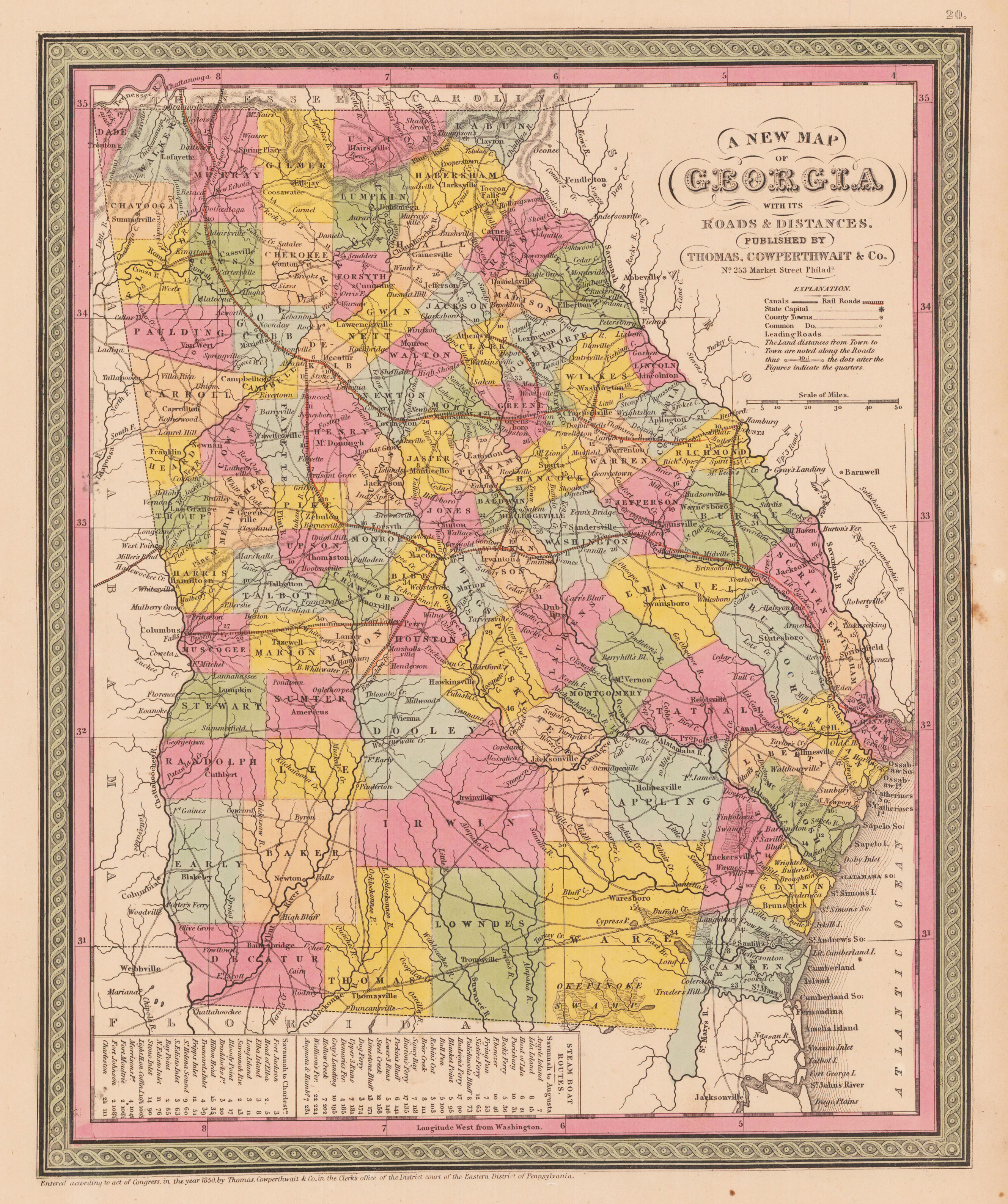
Steel engraving, hand colored in outline and wash. This map of Georgia centers our attention on the roads and railroads that crisscross the state. Political and topographical features are noted and color coded with elevation rendered by hachure. Steamboat routes and mileages are presented in tabular format in the lower left quadrant. The whole is engraved and colored in Mitchell's distinctive style with green border work and vivid pastels.
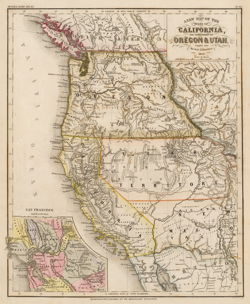
Steel engraving, hand colored in outline and wash. Published in the 2nd edition 1852 of Meyer's ,Großen Zeitungsatlas' in Hildburghausen. Engraved by E. Biedermann. Depicted are California and the states of Oregon and Utah. Equipped with an inset map of San Francisco and the bay area.
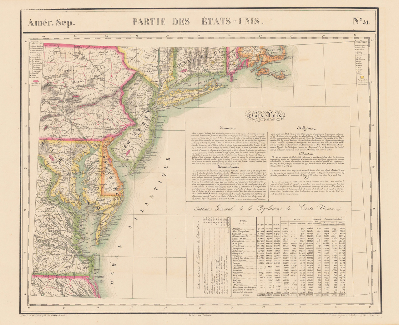
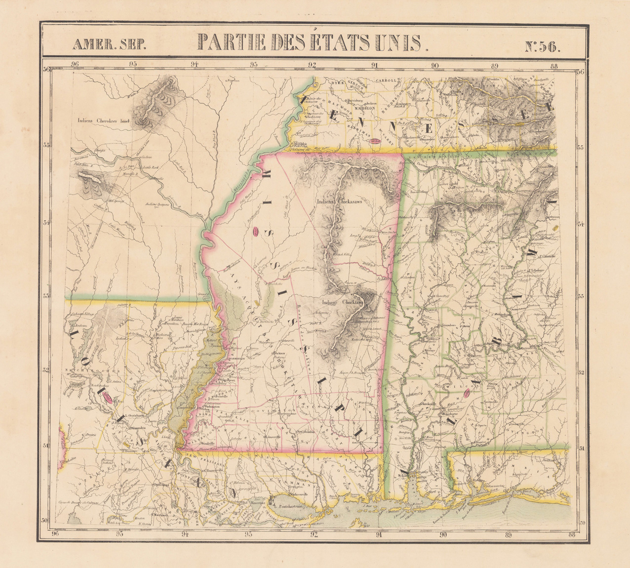
Lithograph, original hand colored in outline. A detailed antique map of the Eastern sea board from Cape Code in the North East towards Norfolk in Virginia. The map provides highly detailed information on counties, cities, small villages and towns, roads, rivers, lakes, mountains, Indian tribes, forts and other geographical details. It shows parts of Connecticut, Pennsylvania, New Jersey, Maryland and Virginia. Published in Philippe Marie Vandermaelen's atlas volume of North America. This atlas volume was part of his six volume atlas ,Atlas Universal', which consists of 387 maps at a large scale of 1:1.6 million. The Belgian cartographer Philippe Marie Vandermaelen (1795-1869) was very interestered in cartography already in young age onwards, he was part of the leadership in establishing the important ,Establissement geographique de Bruxelles'. His maps are remarkable detailed, he also was well educated in mathematics and astronomy. Philippe Vandermaelen (Philippe Vander Maelen or van der Maelen), born in Brussels, on December 23, 1795, died in Molenbeek-Saint-Jean, on May 29, 1869, was an eminent geographer and cartographer, famous for having conceived an authoritative universal Atlas and for having founded the Brussels Geographical Establishment in Molenbeek-Saint-Jean. Philippe Vandermaelen drew up numerous high-level scientific charts at scales based on the metric system recently introduced in Belgium. Alex Pasquier wrote about him in 1936: ,A geographer like Mercator, an organizer like Theodore Verhaegen, an assembler of cards like Paul Otlet, Philippe Vandermaelen personified to a remarkable degree, in the middle of the nineteenth century, the qualities of method and order that were laborious. characterize our country.' (Wikipedia)
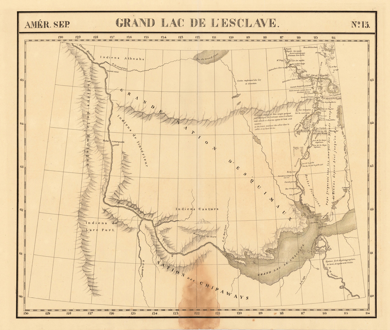
Lithograph, original hand colored in outline. Large and high detailed map of the region of the Mac Kenzie River and Grand Slave Lake. The map was published in Vandermaelen's 6 volumes atlas and is impressive with its many details of small place names, rivers, lakes and mountains. Further on the map shows several Forts: Ft. Providence, Resolution and l'Esclave. The map also shows local Indian Tribes (Chippeways, Castors, Athnahs and the Esquimaux). The eastern part of the map is highly detailed on various rivers and portages North of Slave Lake. The map was published in Phillippe Marie Vandermaelen's atlas of North America.
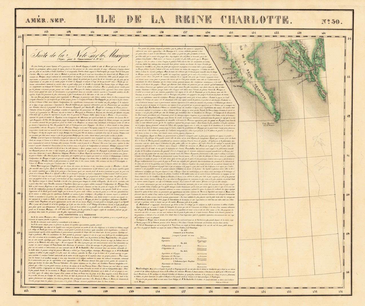
Lithograph, original hand colored in outline. The map is showing the Southern part of Queen Charlotte's Island and a part of the coastline of British Columbia. Large and detailed map on Charlotte's Island, equipped with many place names and names of smaller bays along the coastline. The map was published in Phillippe Marie Vandermaelen's atlas of North America.
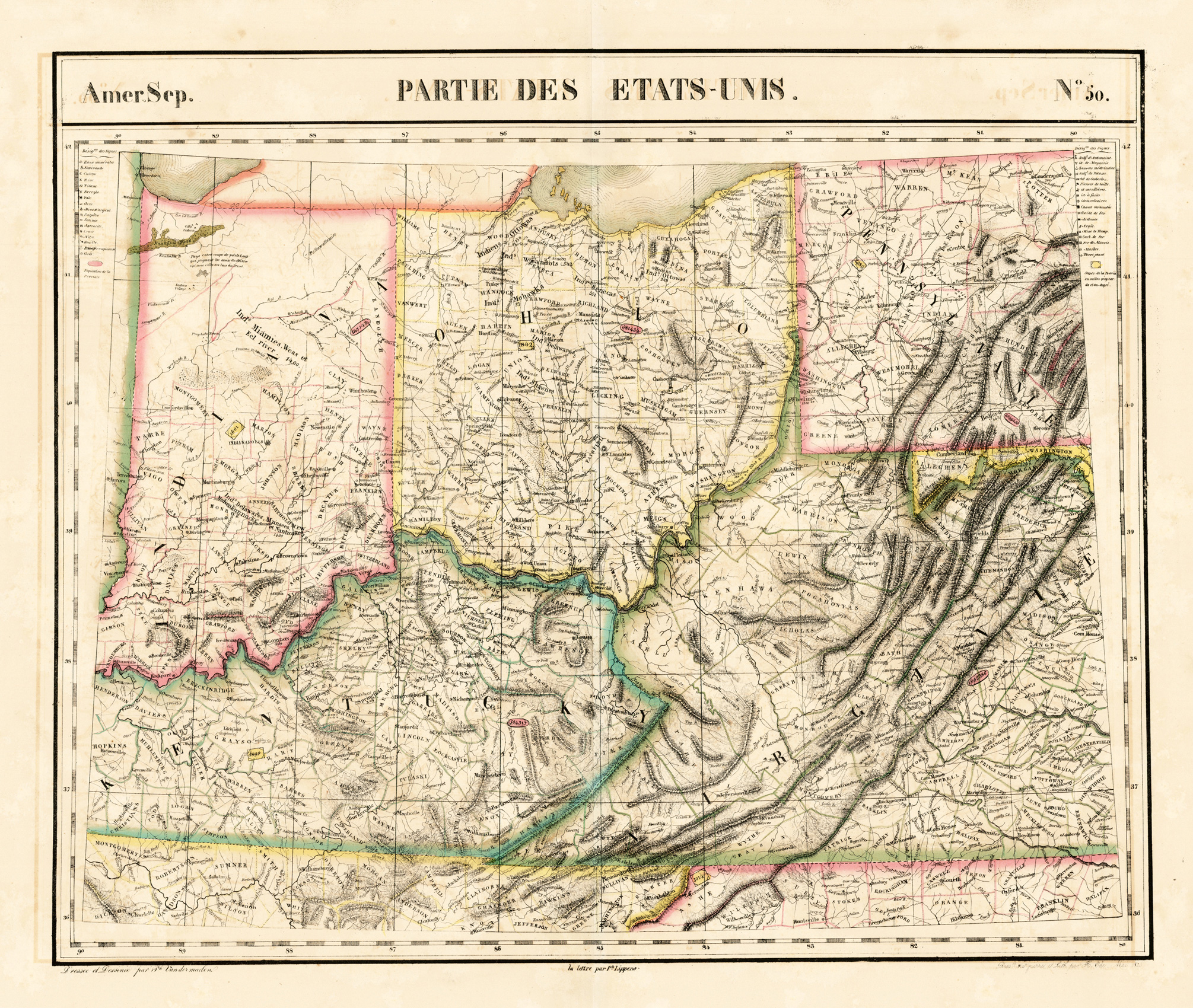
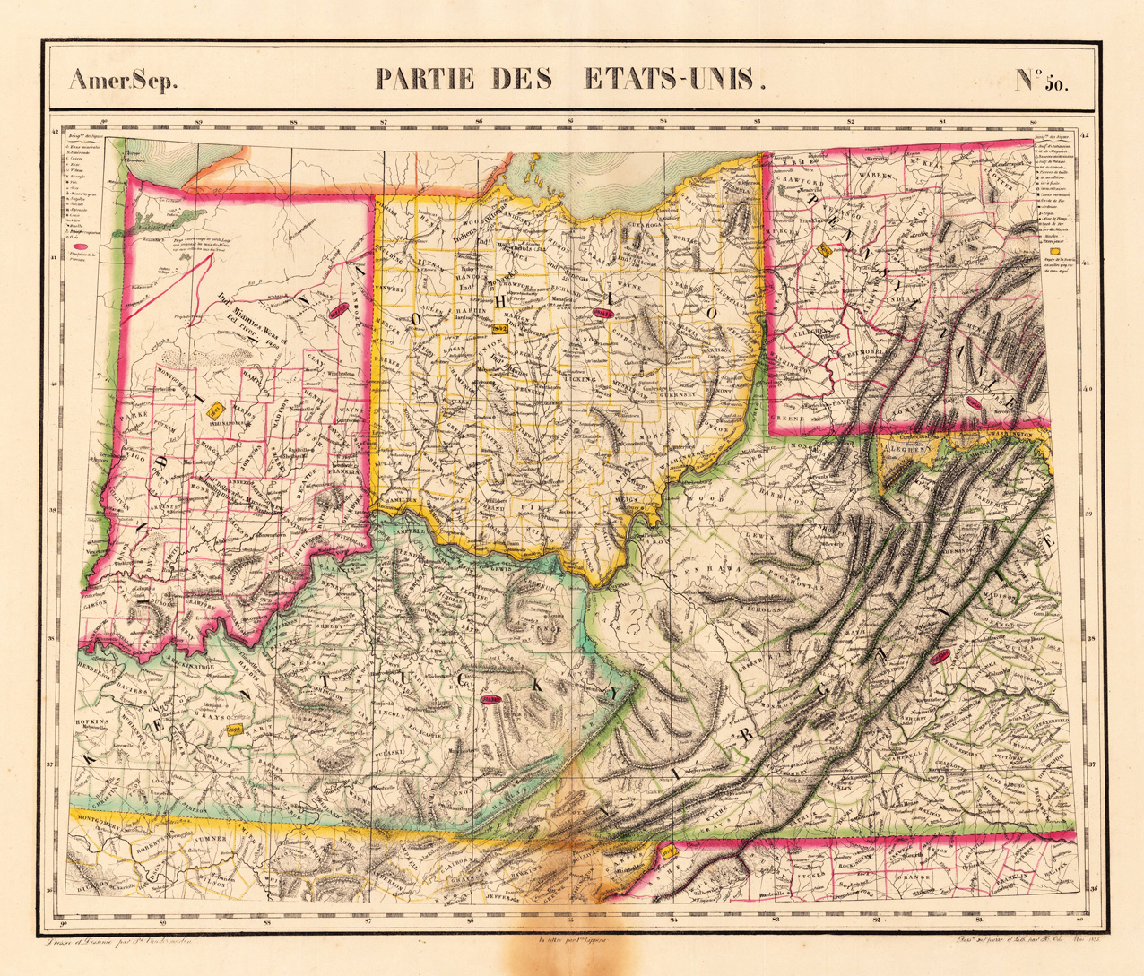
Lithograph, original hand colored in outline. The decorative colorful outline hand colored map shows in its centre Indian & Ohio, Kentucky and the adjacenting Virginia and Pennsylvania. It provides detailed information on place names, little streets and routes, rivers, lakes, mountains. Further the states are divided up into its counties in outline color.
Lithograph, original hand colored in outline. The decorative colorful outline handcolored map shows in its centre Indian & Ohio, Kentucky and the adjacenting Virginia and Pennsylvania. It provides detailed information on place names, little streets and routes, rivers, lakes, mountains. Further the states are divided up into its counties in outline color. Overall size of the map circa 18 1/2 x 22 inches. The interesting map in vivid period hand color. At the lower centre fold and bottom marginal browning, affecting also slightly the engraved image of the map towards the border of Virginia, not really too disturbing. Verso a small mending.
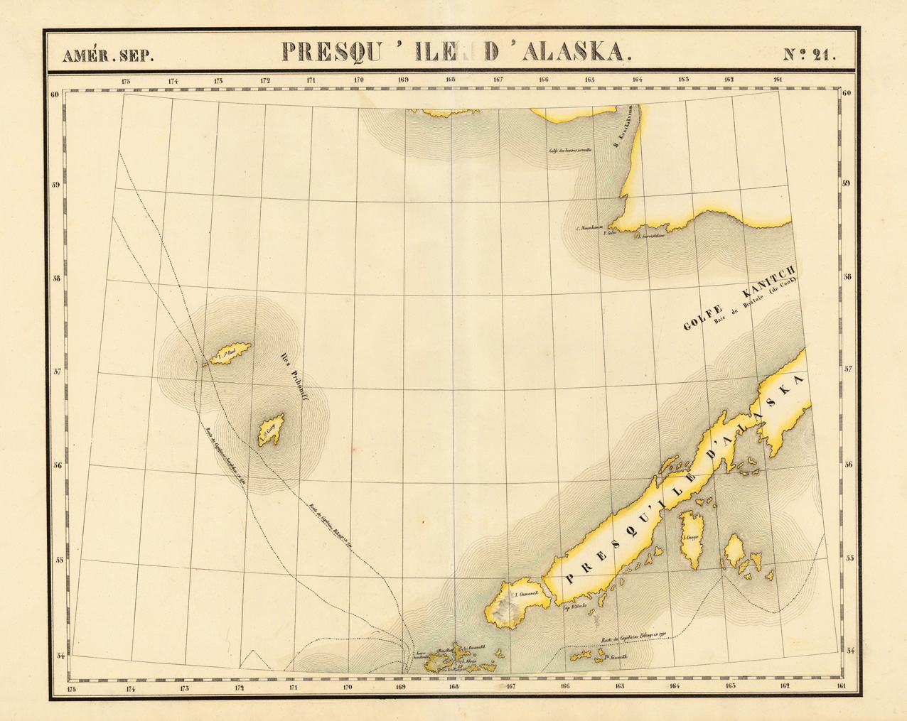
Lithograph, original hand colored in outline. A very large and highly detailed antique map, which shows the Alaskan Archipelago in many details. The map shows Gulf Kanitch, Island Ounga, Island Oumanak, Island St. Paul and the Island St. George. Further routes of the late eighteenth century explorers Captain Bilings (1790-91) and Captain Sarytchew (1791) are shown on the map. The map was published in Phillippe Marie Vandermaelen's atlas of North America.

![1927 New York! 12 Original-Steinzeichnungen. [Portfolio]](https://bergbook-sw6.1drop.dev/media/22/98/8b/1713265450/25092-title.jpg "25092-Title")