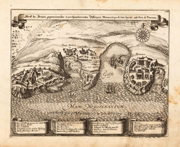
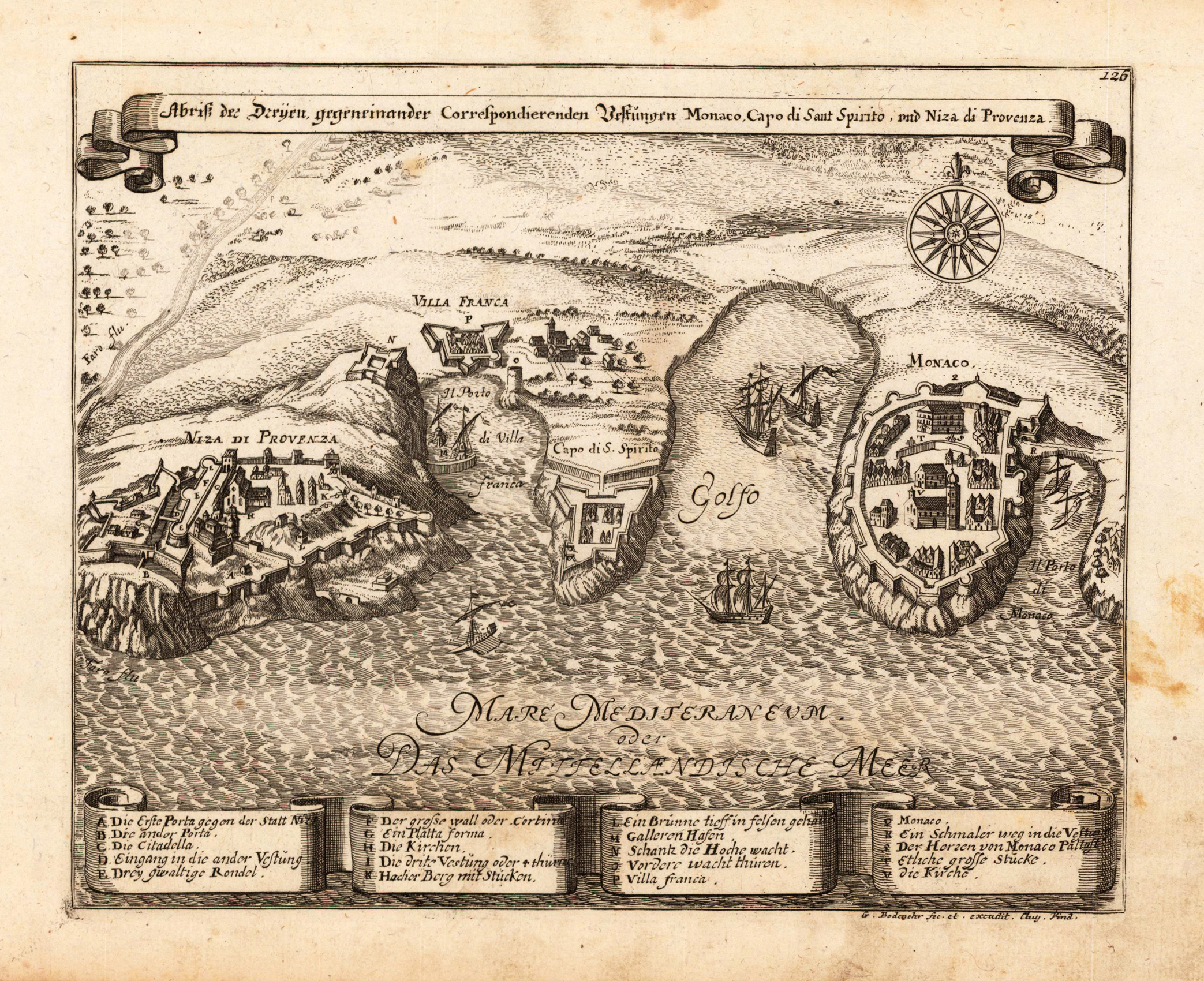
Copper engraving, uncolored as published. Detailed fine antique map by Gabriel Bodenehr depicting Nice in Provence with the nearby fortress Villa Franca and the pricipality of Monaco. A beautiful bird's eye map with engraved buildings, sailing ships in the Ligurian Sea and a compass rose. At the bottom a fine large detailed table of explanations with names of walls, buildings, churches and other landmarks. This fine engraving was published in Gabriel Bodenehr's famous serious "Europeans Macht und Pracht", a series of engravings depicting city views, plans, fortresses and castles in Europe. Many plates often are showing fortifications in Hungary and Southeast Europe, Spain, Belgium, Austria and Germany. Gabriel Bodenehr was during this period a sucessful publisher for maps and prints in Augsburg in Southern Germany.
Copper engraving, uncolored as published. This fine engraving was published in Gabriel Bodenehr's famous serious "Europeans Macht und Pracht", a series of engravings depicting city views, plans, fortresses and castles in Europe. Many plates often are showing fortifications in Hungary and Southeast Europe, Spain, Belgium, Austria and Germany. Gabriel Bodenehr was during this period a sucessful publisher for maps and prints in Augsburg in Southern Germany.
Published in the first Cloppenburgh edition of Gerhard Mercator's "Atlas Minor" in 1630, verso French text. This is the first so-called Cloppenburgh editions which was a competive edition with new engraved maps in a larger format. Most of the maps were engraved by Pieter van den Keere. The Cloppenburg edition was continued for a couple of years but seems to have been suppressed after 1636 ... (Koeman Atlantes Neerlandici). A fine copy in a dark impression, full margins as published.
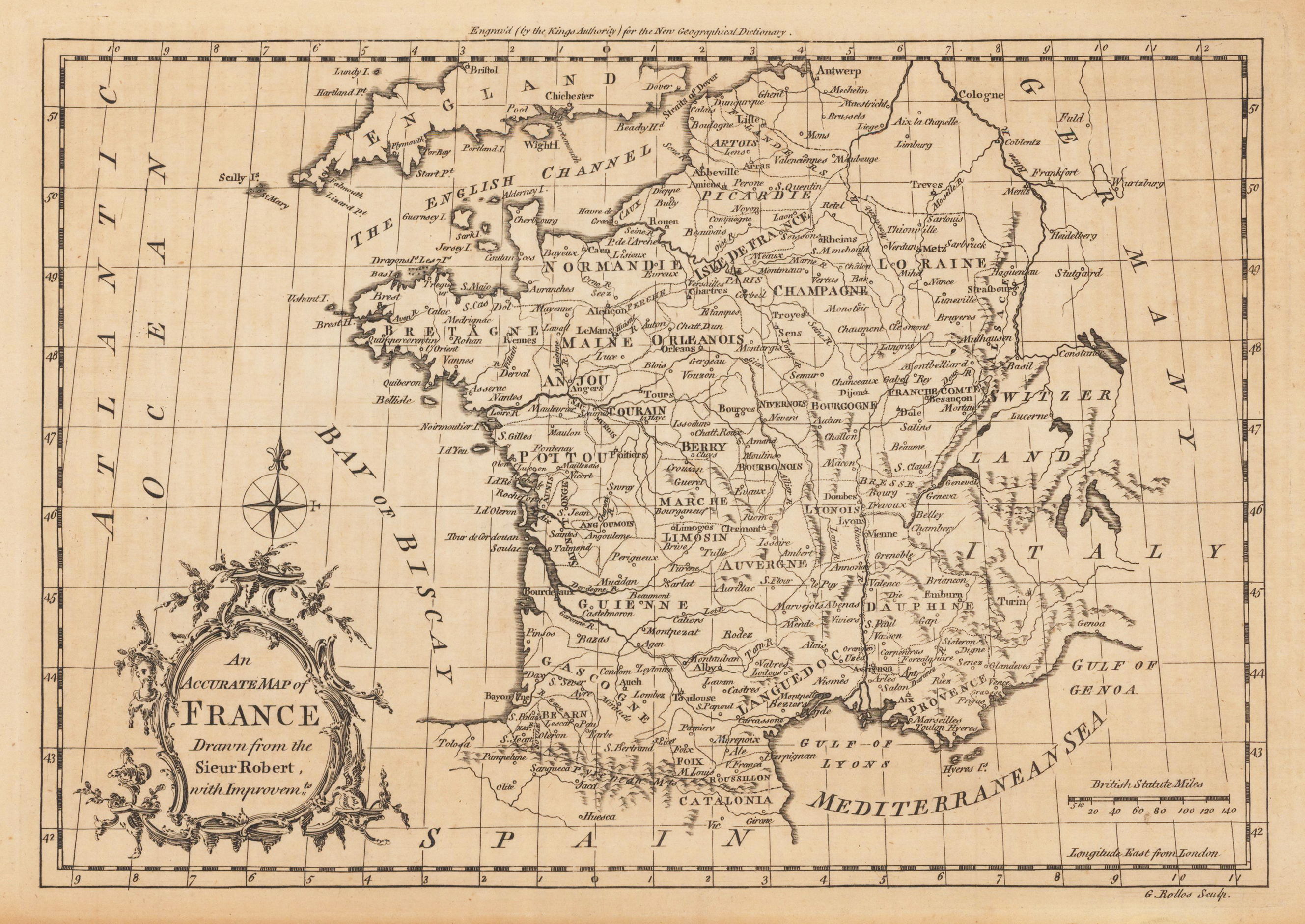
Original antique copper engraving, uncolored. Published in London and engraved for the 'New Geographical Dictionary'. Engraved by G. Rollos. Decorative small map of France, engraved for,The New Geographical dictionary'. A very decorative title cartouche in the lower left corner, a mile scale in British Statute Miles in the lower right corner.
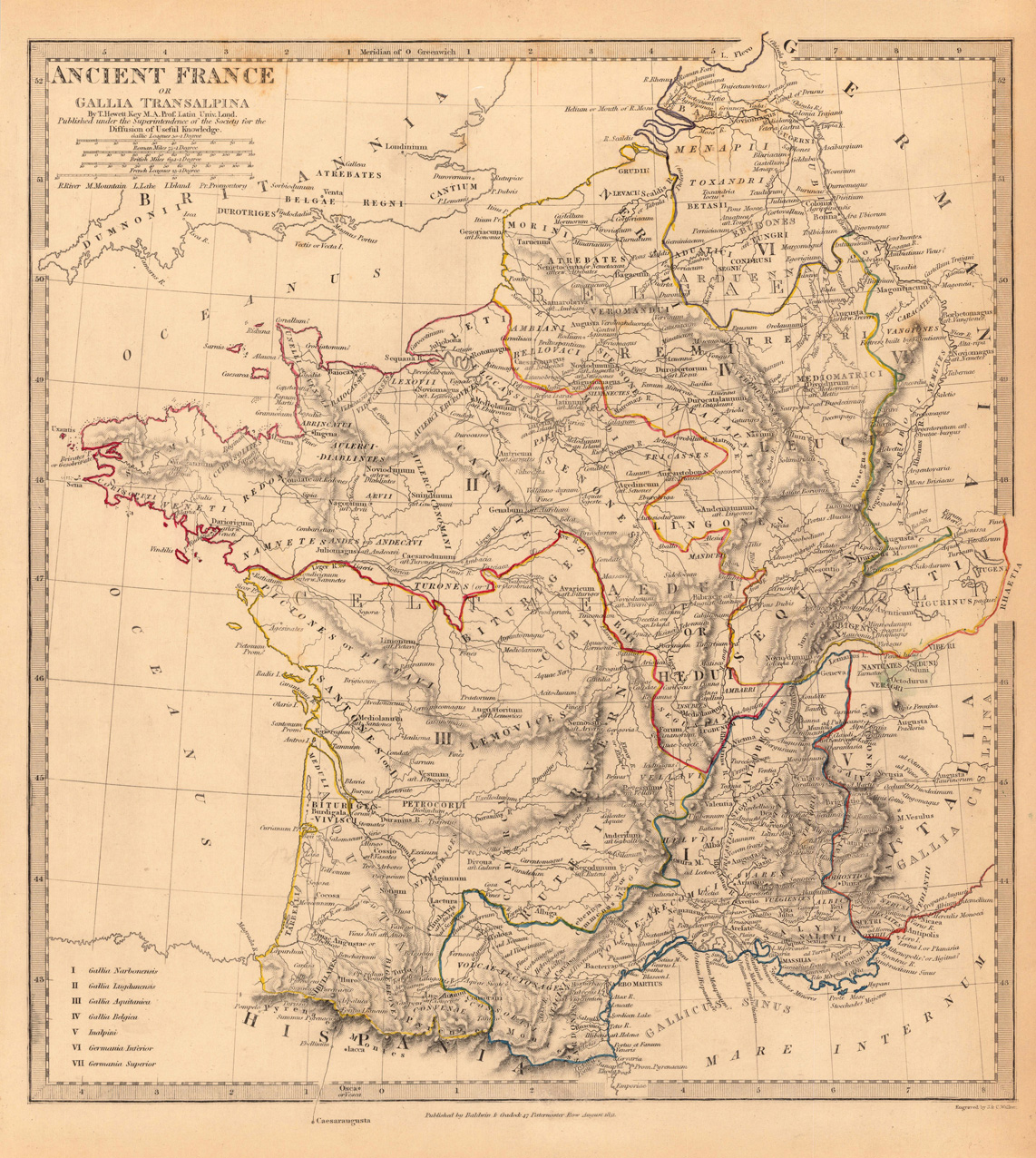
Steel engraving, hand colored in outline when published. Nice and detailed map of France with engraved place names, rivers and political borders. Engraved and published by the Society for the Diffusion of Useful Knowledge in London. This antique map shows ancient France. The map is equipped with many small place names, rivers, etc.
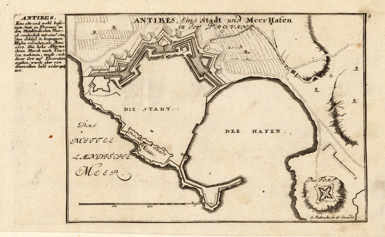
Original antique copper engraving, uncolored. This map shows the town of Antibes in south-eastern France on the Côte d'Azur. This fine engraving was published in Gabriel Bodenehr's famous serious "Europeans Macht und Pracht", a series of engravings depicting city views, plans, fortresses and castles in Europe. Many plates often are showing fortifications in Hungary and Southeast Europe, Spain, Belgium, Austria and Germany. Gabriel Bodenehr was during this period a successful publisher for maps and prints in Augsburg in Southern Germany. Gabriel Bodenehr the Elder (1664-1758 or 1673-1765) was a German map maker and member of a famous engraver and publisher family of Augsburg. His main work was "Atlas Curieux" first published 1704. He was the son of Johann Georg Bodenehr (1631-1703). Gabriel's son was Gabriel Bodenehr the Younger (1705–1792).
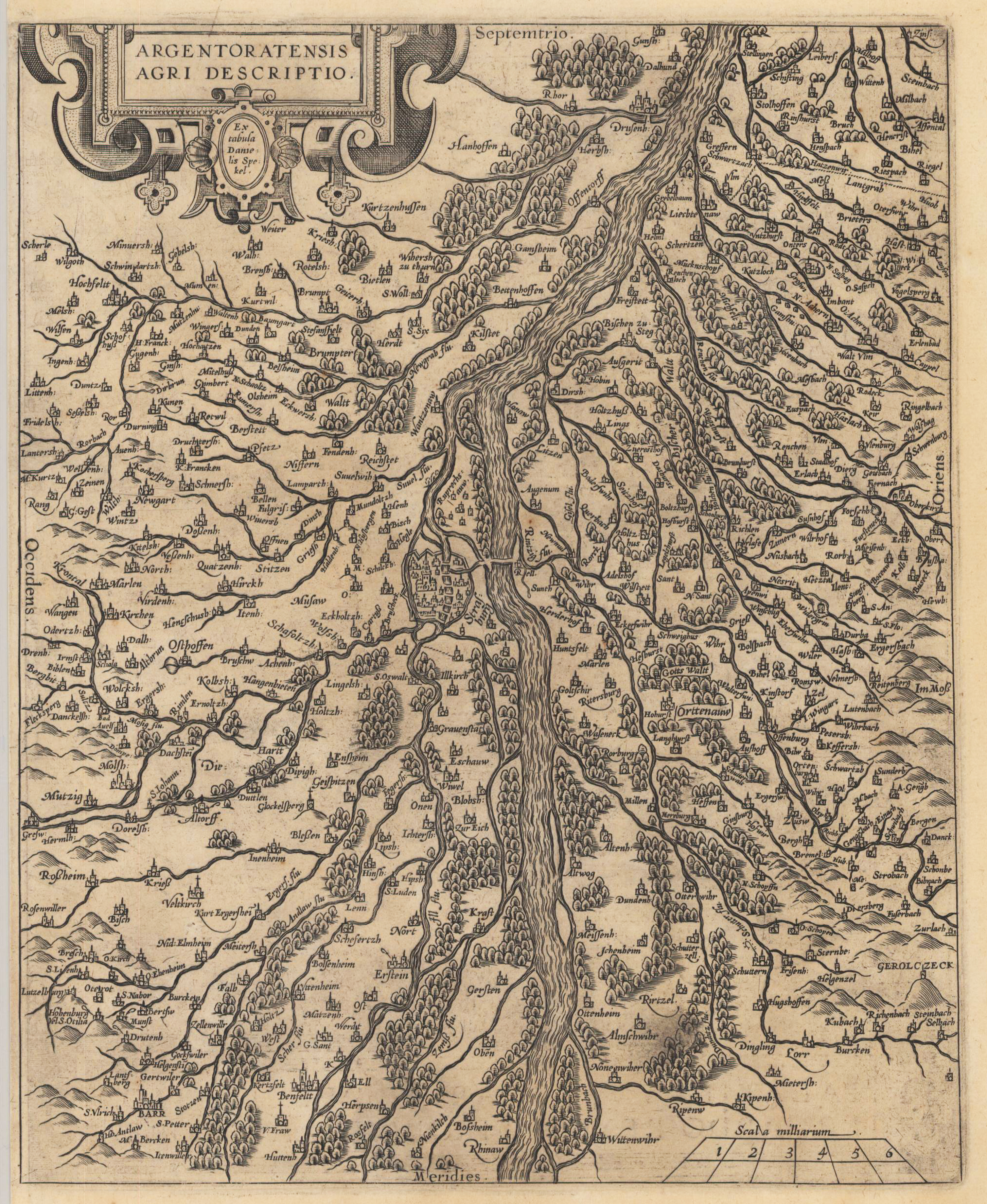
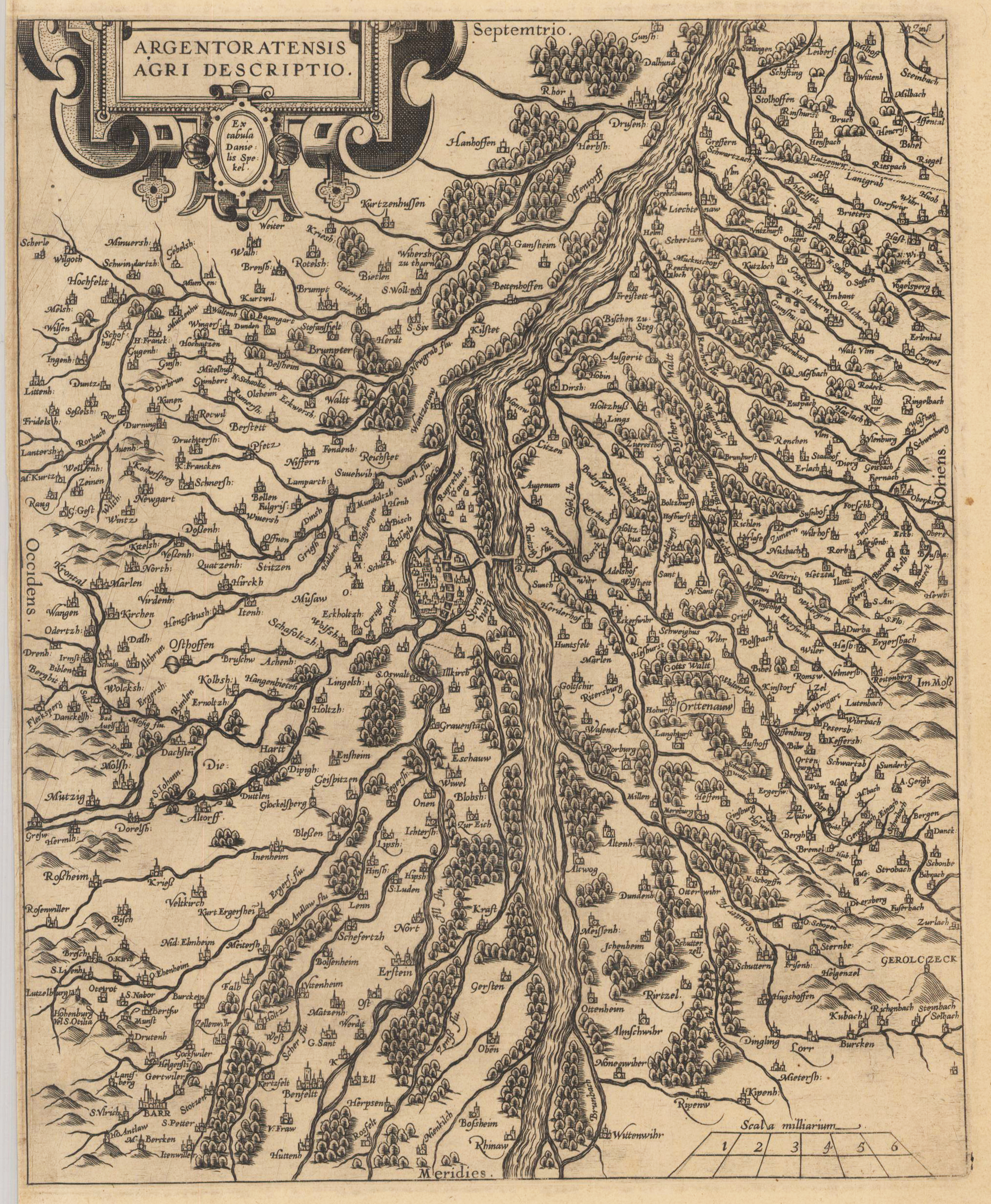
Original Kupferstichkarte, unkoloriert. Dekorative Kupferstichkarte des Straßburger Gebiets nach der Zeichnung von Daniel Spekel. Mit vielen eingezeichneten Orts- und Städtenamen, diese meist als Miniaturansichten dargestellt. Ferner sind Flüße, Seen und Wälder detailliert eingezeichnet. Schöne und dekorative alte Landkarte des 16. Jahrhunderts des Straßburger Gebiets.
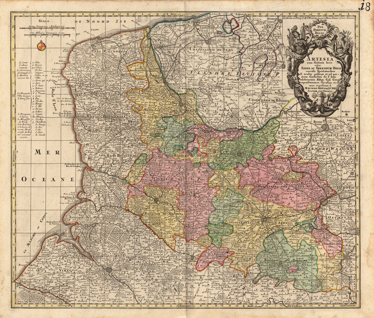
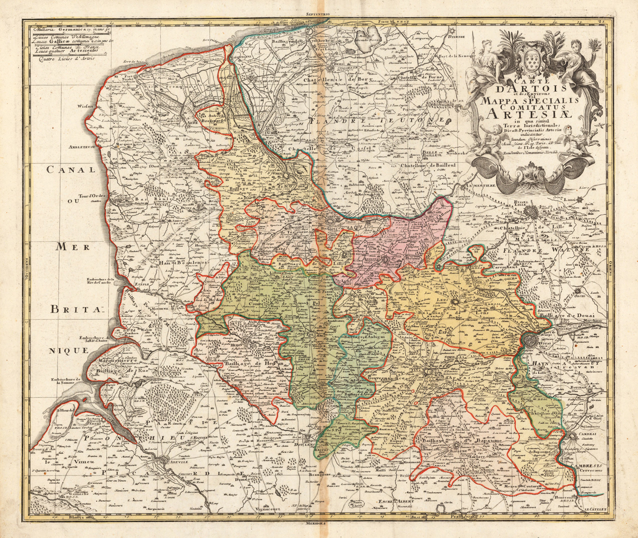
Copper engraving, handcolored when published. Fine detailled engraved map showing Artois after the cartographic sources of Guilmus de Isle. With many place names and details like streets, woods, mountains, rivers, lakes etc. Ornated in the upper right corner with a large decorative allegoric title cartouche. In the upper left corner a milage scale, below with a table of explanations.
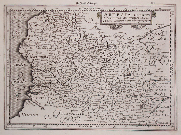
Published in the first Cloppenburgh edition of Gerhard Mercator's "Atlas Minor" in 1630, verso French text. This is the first so-called Cloppenburgh editions which was a competive edition with new engraved maps in a larger format. Most of the maps were engraved by Pieter van den Keere. The Cloppenburg edition was continued for a couple of years but seems to have been suppressed after 1636 ... (Koeman Atlantes Neerlandici).
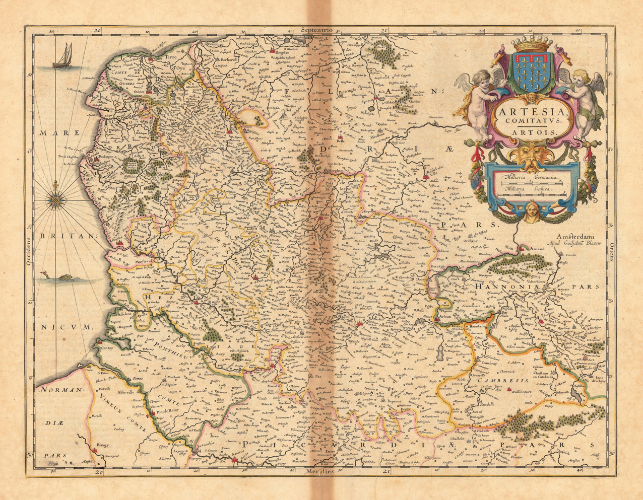
Original antique copper engraving, hand colored in outline when published. An interesting map of Artois in France. The former province located in the northwestern part of France, boarding Belgium (Flanders) on the north and Picardy to the south. Joan Blaeu (23 September 1596 – 21 December 1673) was a Dutch cartographer born in Alkmaar, the son of cartographer Willem Blaeu. In 1620 he became a doctor of law but he joined the work of his father. In 1635 they published the Atlas Novus (full title: Theatrum orbis terrarum, sive, Atlas novus) in two volumes. Joan and his brother Cornelius took over the studio after their father died in 1638. Joan became the official cartographer of the Dutch East India Company. Blaeu's world map, Nova et Accuratissima Terrarum Orbis Tabula, incorporating the discoveries of Abel Tasman, was published in 1648. This map was revolutionary in that it "depicts the solar system according to the heliocentric theories of Nicolaus Copernicus, which show the earth revolving around the sun.... Although Copernicus's groundbreaking book On the Revolutions of the Spheres had been first printed in 1543, just over a century earlier, Blaeu was the first mapmaker to incorporate this revolutionary heliocentric theory into a map of the world." Blaeu's map was copied for the map of the world set into the pavement of the Groote Burger-Zaal of the new Amsterdam Town Hall, designed by the Dutch architect Jacob van Campen (now the Amsterdam Royal Palace), in 1655. Blaeu's Hollandia Nova was also depicted in his Archipelagus Orientalis sive Asiaticus published in 1659 in the Kurfürsten Atlas (Atlas of the Great Elector). and used by Melchisédech Thévenot to produce his map, Hollandia Nova—Terre Australe (1664). As Joan Blaeu, he also published the 12 volume "Le Grand Atlas, ou Cosmographie blaviane, en laquelle est exactement descritte la terre, la mer, et le ciel". One edition is dated 1663. That was folio (540 x 340 mm), and contained 593 engraved maps and plates. In March 2015, a copy was on sale for £750,000. Around 1649 Joan Blaeu published a collection of Dutch city maps named Toonneel der Steeden (Views of Cities). In 1651 he was voted into the Amsterdam council. In 1654 Joan published the first atlas of Scotland, devised by Timothy Pont. In 1662 he reissued the Atlas Novus, also known as Atlas Maior, in 11 volumes, and one for oceans.[citation needed] A cosmology was planned as their next project, but a fire destroyed the studio completely in 1672. (Wikipedia)
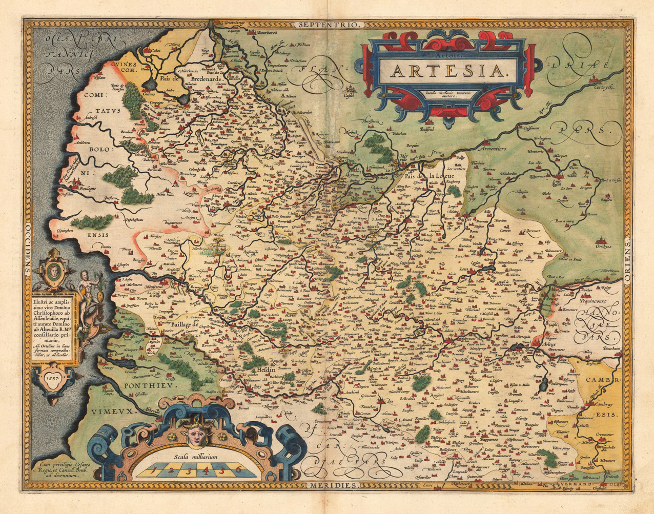
Original antique copper engraving, published in the first Spanish edition of the 'Theatrum Orbis Terrarum' by Abraham Ortelius. Finely handcolored in wash and outline, when published. Detailled map of Artois, with many cities and place names. The engraved cities are shown as miniature cityviews, a few place names heightend in gold. Among the place names we find St. Omer, Arras, Renty, Monstreul etc. Ornated with a large decorative title cartouch, as well two further cartouches with a dedication and a milage scale. This map is in very fine original handcolor, typical for a Spanish edition in that period. Abraham Ortelius engraved this map after the cartographic sketch by Iacobo Surbonio Montano. Ortelius was born on 14 April 1527 in the city of Antwerp, which was then in the Habsburg Netherlands (modern-day Belgium). The Orthellius family were originally from Augsburg, a Free imperial city of the Holy Roman Empire. In 1535, the family had fallen under suspicion of Protestantism. Following the death of Ortelius's father, his uncle Jacobus van Meteren returned from religious exile in England to take care of Ortelius. Abraham remained close to his cousin Emanuel van Meteren, who would later move to London. In 1575 he was appointed geographer to the king of Spain, Philip II, on the recommendation of Arias Montanus, who vouched for his orthodoxy. He travelled extensively in Europe and is specifically known to have traveled throughout the Seventeen Provinces; in southern, western, northern, and eastern Germany (e.g., 1560, 1575–1576); France (1559–1560); England and Ireland (1576); and Italy (1578, and perhaps twice or thrice between 1550 and 1558). Beginning as a map-engraver, in 1547 he entered the Antwerp Guild of Saint Luke as an illuminator of maps. He supplemented his income trading in books, prints, and maps, and his journeys included yearly visits to the Frankfurt book and print fair, where he met Gerardus Mercator in 1554. In 1560, however, when travelling with Mercator to Trier, Lorraine, and Poitiers, he seems to have been attracted, largely by Mercator's influence, towards the career of a scientific geographer. (Wikipedia)
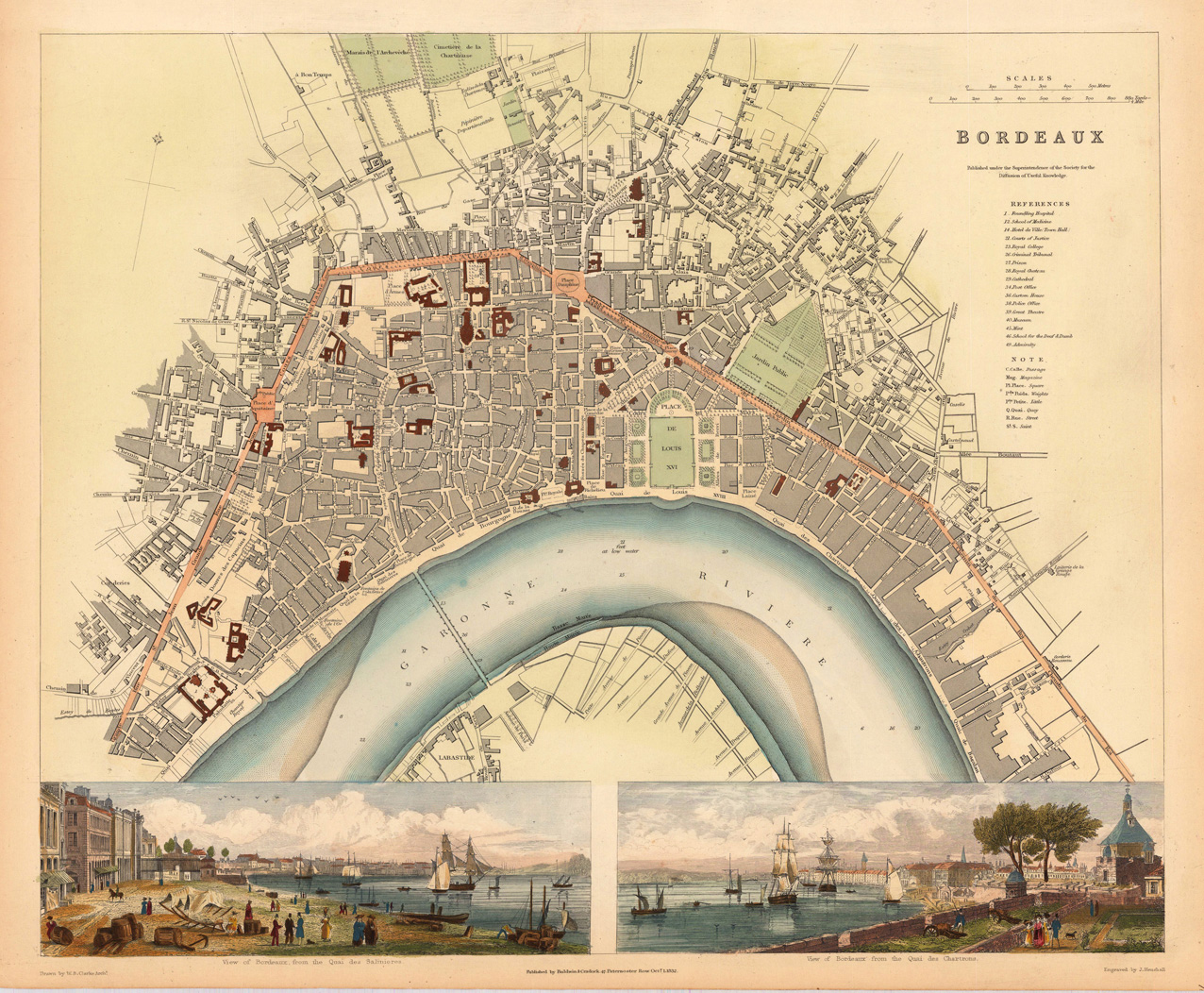
Steel engraving, hand colored in outline and wash. This plan of Bordeaux is highly accurate and finely hand colored throughout. With many details of parks, places, buildings, streets, etc. At the bottom are two inset views of Bordeaux in fine hand color.
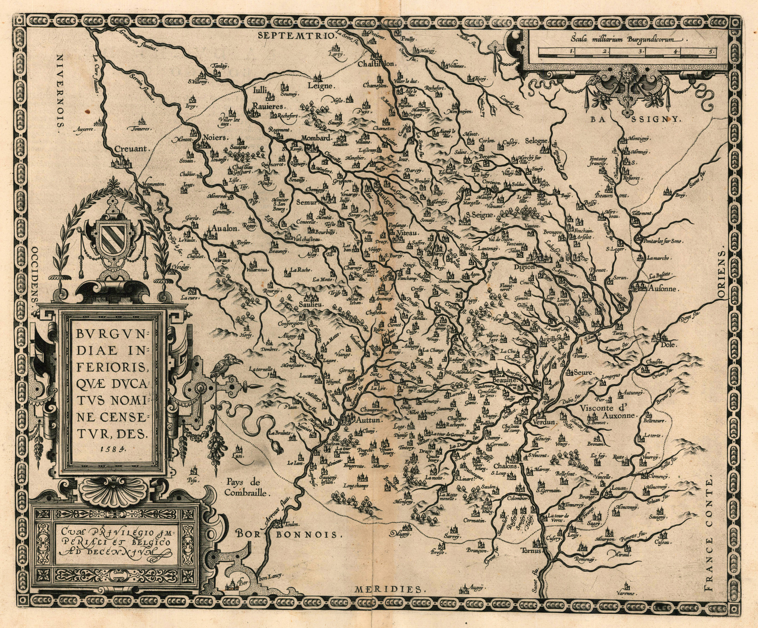
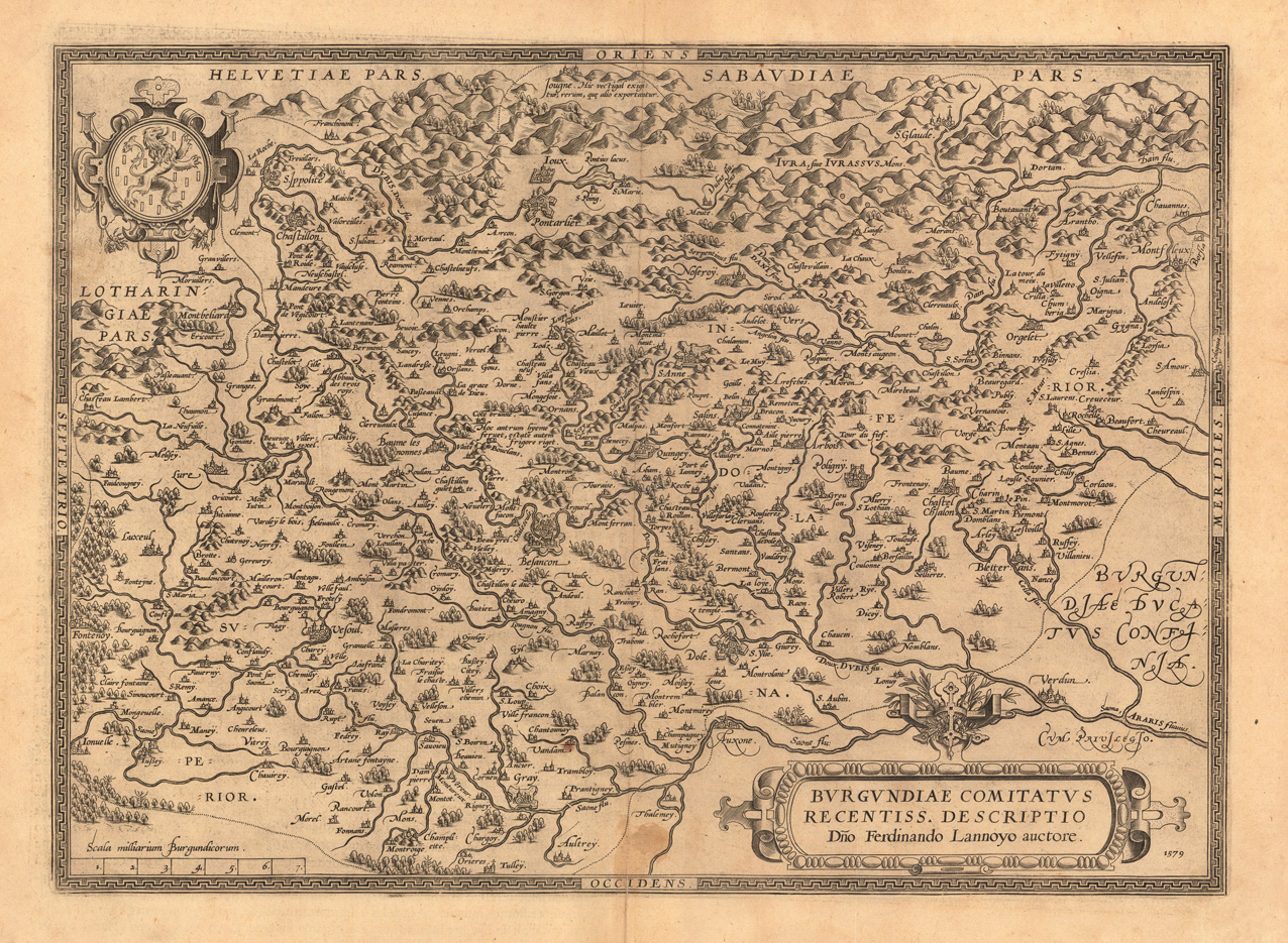
Original copper engraving, published 1598 at Christopher Platin in French text edition of the 'Theatrum Orbis Terrarum' in Antwerp. An early and decorative map of the duchy of Burgundy in France by Abraham Ortelius, published and printed from 1584 for the first time onwards up to 1612. This example was published in the 1598 edition with descriptive French text verso.
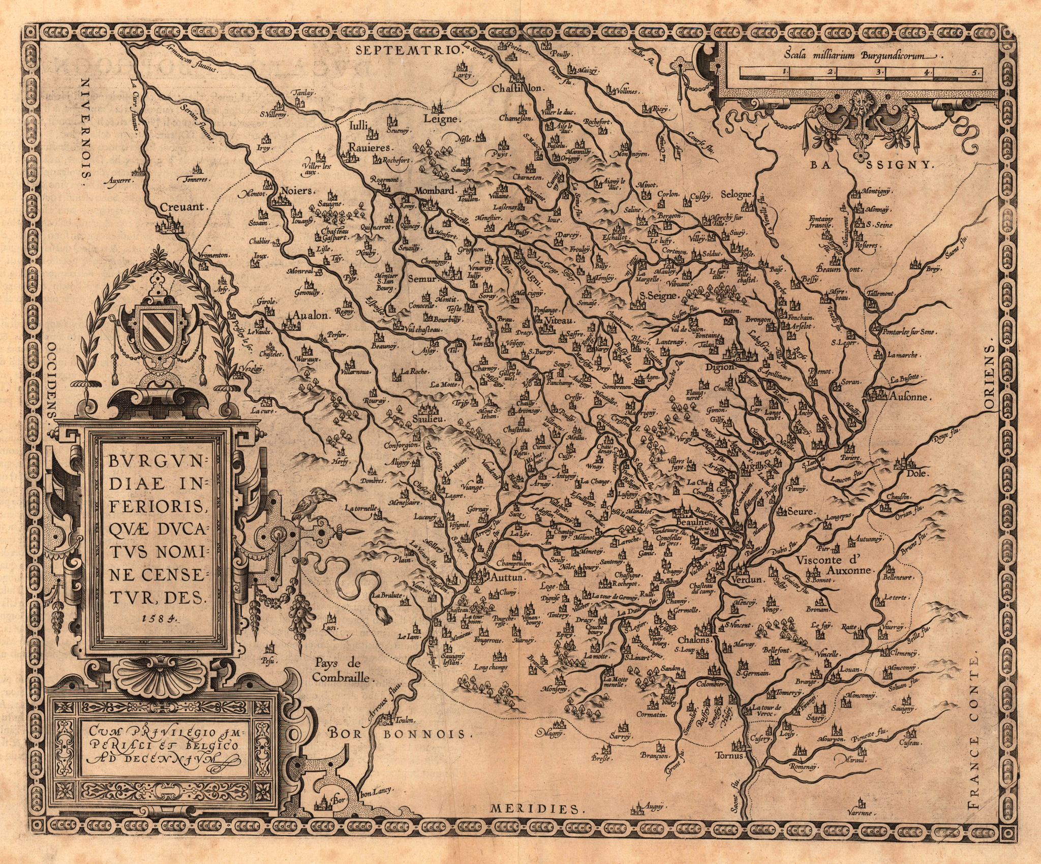
Original antique copper engraving, published 1612 in the famous Italian text edition of the 'Theatrum Orbis Terrarum', published by Juan Baptist Vrients in Antwerp. An early and decorative map of the duchy of Burgundy in France by Abraham Ortelius, published and printed from 1584 for the first time onwards. Ortelius was born on 14 April 1527 in the city of Antwerp, which was then in the Habsburg Netherlands (modern-day Belgium). The Orthellius family were originally from Augsburg, a Free imperial city of the Holy Roman Empire. In 1535, the family had fallen under suspicion of Protestantism. Following the death of Ortelius's father, his uncle Jacobus van Meteren returned from religious exile in England to take care of Ortelius. Abraham remained close to his cousin Emanuel van Meteren, who would later move to London. In 1575 he was appointed geographer to the king of Spain, Philip II, on the recommendation of Arias Montanus, who vouched for his orthodoxy. He travelled extensively in Europe and is specifically known to have traveled throughout the Seventeen Provinces; in southern, western, northern, and eastern Germany (e.g., 1560, 1575–1576); France (1559–1560); England and Ireland (1576); and Italy (1578, and perhaps twice or thrice between 1550 and 1558). Beginning as a map-engraver, in 1547 he entered the Antwerp Guild of Saint Luke as an illuminator of maps. He supplemented his income trading in books, prints, and maps, and his journeys included yearly visits to the Frankfurt book and print fair, where he met Gerardus Mercator in 1554. In 1560, however, when travelling with Mercator to Trier, Lorraine, and Poitiers, he seems to have been attracted, largely by Mercator's influence, towards the career of a scientific geographer. (Wikipedia)
Original antique copper engraving, published 1612 in the famous Italian text edition of the 'Theatrum Orbis Terrarum', published by Juan Baptist Vrients in Antwerp. An early and decorative map of Burgundy in France by Abraham Ortelius, which is based on the cartographical sources Ferdinand de Lannoy, who made a map of Burgundy in 1563 for which he obtained a privilege, but which was subsequently suppressed by the Spaniards for political reasons (Broe.). Ortelius was born on 14 April 1527 in the city of Antwerp, which was then in the Habsburg Netherlands (modern-day Belgium). The Orthellius family were originally from Augsburg, a Free imperial city of the Holy Roman Empire. In 1535, the family had fallen under suspicion of Protestantism. Following the death of Ortelius's father, his uncle Jacobus van Meteren returned from religious exile in England to take care of Ortelius. Abraham remained close to his cousin Emanuel van Meteren, who would later move to London. In 1575 he was appointed geographer to the king of Spain, Philip II, on the recommendation of Arias Montanus, who vouched for his orthodoxy. He travelled extensively in Europe and is specifically known to have traveled throughout the Seventeen Provinces; in southern, western, northern, and eastern Germany (e.g., 1560, 1575–1576); France (1559–1560); England and Ireland (1576); and Italy (1578, and perhaps twice or thrice between 1550 and 1558). Beginning as a map-engraver, in 1547 he entered the Antwerp Guild of Saint Luke as an illuminator of maps. He supplemented his income trading in books, prints, and maps, and his journeys included yearly visits to the Frankfurt book and print fair, where he met Gerardus Mercator in 1554. In 1560, however, when travelling with Mercator to Trier, Lorraine, and Poitiers, he seems to have been attracted, largely by Mercator's influence, towards the career of a scientific geographer. (Wikipedia)
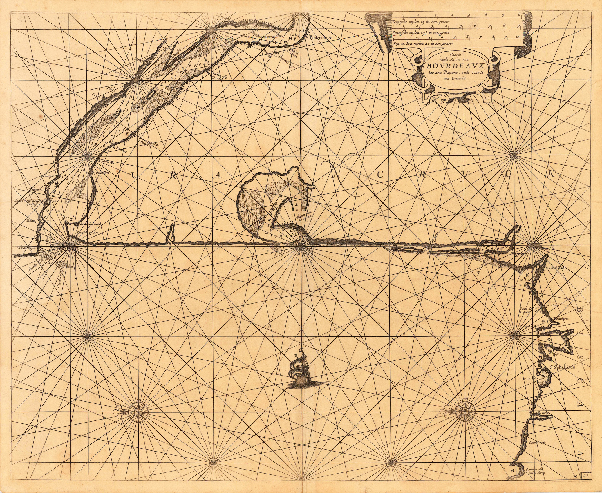
Copper-engraving, uncolored when published. Detailed sea chart of the area Bordeaux - Bayonne - San Sebastian in South West France and the neighbouring Galicia. Ornated with a large decorative title cartouche in the upper right corner, as well compass roses and a sailing ship. The map is pretty accurate and provides information along the coast with place names, anchor places, sand banks and depths in the sea.
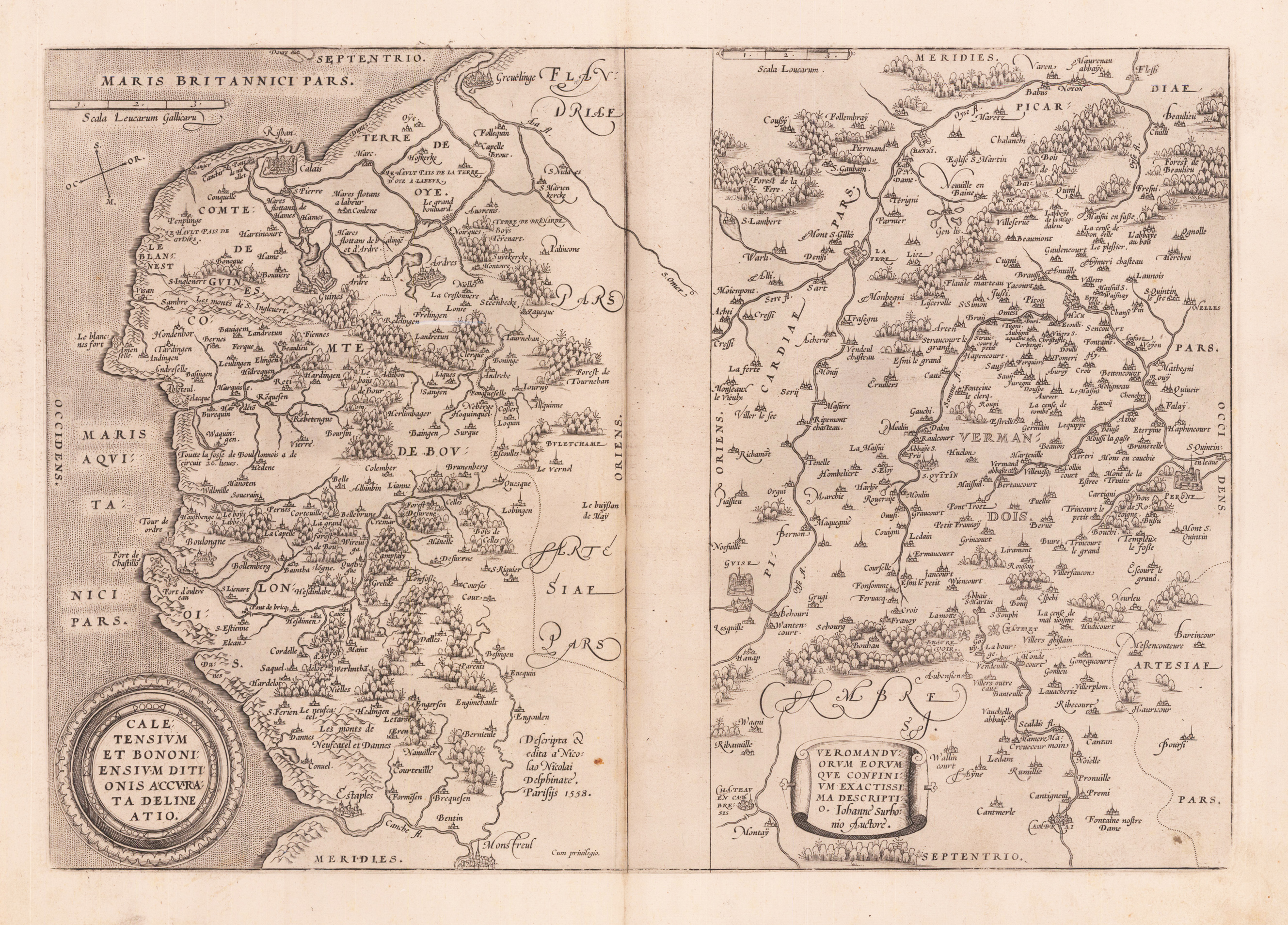
Original copper engraving, published 1572 in an German text edition of the 'Theatrum Orbis Terrarum'. Caletensium shows the coastline from Abominations via Calais and from there southwards to Estaples. Veromanduorum shows a small region around Saint-Quentin in northern France. Each of the maps is with small woods and contracts and has a decorative cartouche. Ortelius was born on 14 April 1527 in the city of Antwerp, which was then in the Habsburg Netherlands (modern-day Belgium). The Orthellius family were originally from Augsburg, a Free imperial city of the Holy Roman Empire. In 1535, the family had fallen under suspicion of Protestantism. Following the death of Ortelius's father, his uncle Jacobus van Meteren returned from religious exile in England to take care of Ortelius. Abraham remained close to his cousin Emanuel van Meteren, who would later move to London. In 1575 he was appointed geographer to the king of Spain, Philip II, on the recommendation of Arias Montanus, who vouched for his orthodoxy. He travelled extensively in Europe and is specifically known to have traveled throughout the Seventeen Provinces; in southern, western, northern, and eastern Germany (e.g., 1560, 1575–1576); France (1559–1560); England and Ireland (1576); and Italy (1578, and perhaps twice or thrice between 1550 and 1558). Beginning as a map-engraver, in 1547 he entered the Antwerp Guild of Saint Luke as an illuminator of maps. He supplemented his income trading in books, prints, and maps, and his journeys included yearly visits to the Frankfurt book and print fair, where he met Gerardus Mercator in 1554. In 1560, however, when travelling with Mercator to Trier, Lorraine, and Poitiers, he seems to have been attracted, largely by Mercator's influence, towards the career of a scientific geographer. (Wikipedia)
Original antique copper engraving, hand colored and wash when published. Ornated in the upper right corner with a large allegoric title cartouche, as well a small mileage scale in the upper left corner. Fine detailed engraved map showing the duchy of Artois with its surroundings. With many place names and details like streets, woods, mountains, rivers, lakes etc. Johann Baptist Homann (20 March 1664 – 1 July 1724) was a German geographer and cartographer, who also made maps of the Americas. Homann was born in Oberkammlach near Kammlach in the Electorate of Bavaria. Although educated at a Jesuit school, and preparing for an ecclesiastical career, he eventually converted to Protestantism and from 1687 worked as a civil law notary in Nuremberg. He soon turned to engraving and cartography; in 1702 he founded his own publishing house. Homann acquired renown as a leading German cartographer, and in 1715 was appointed Imperial Geographer by Emperor Charles VI. Giving such privileges to individuals was an added right that the Holy Roman Emperor enjoyed. In the same year he was also named a member of the Prussian Academy of Sciences in Berlin. Of particular significance to cartography were the imperial printing privileges (Latin: privilegia impressoria). These protected for a time the authors in all scientific fields such as printers, copper engravers, map makers and publishers. They were also very important as a recommendation for potential customers. In 1716 Homann published his masterpiece Grosser Atlas ueber die ganze Welt (Grand Atlas of all the World). Numerous maps were drawn up in cooperation with the engraver Christoph Weigel the Elder, who also published Siebmachers Wappenbuch. Homann died in Nuremberg in 1724. He was succeeded by his son Johann Christoph (1703-1730). The company carried on upon his death as Homann heirs company, managed by Johann Michael Franz and Johann Georg Ebersberger. After subsequent changes in management the company folded in 1852.[1] The company was known as "Homann Erben", "Homanniani Heredes", or "Heritiers de Homann" abroad. (Wikipedia)
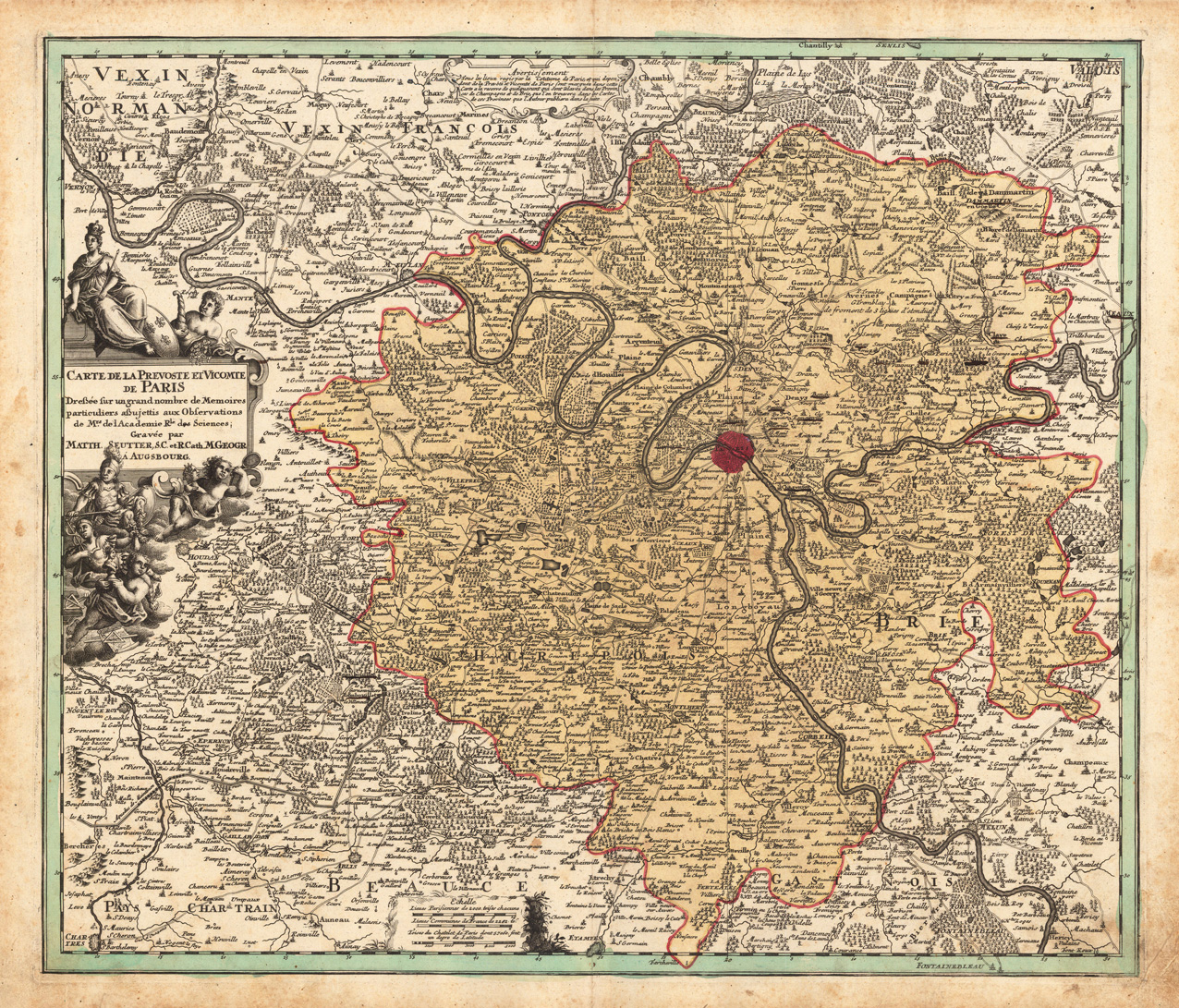
Copper-engraving, handcolored in outline and wash , when published. Decorative map by the famous cartographer Matthäus Seutter showing the nearer district around Paris. As usual for Matthaeus Seutter, the map is very accurate, showing small place names, villages, castles, monasteries, rivers, lakes, etc.