Lithograph, original hand colored in outline when published. This highly decorative map shows the region of the mouth of the Mississippi river. The mouth of the Mississippi is detailed shown with New Orleans also the Appalache Bay is shown. In the lower centre of the map is a table of explanation with the population of the New World of 1823 after Alexander von Humboldt .
Fine copper-engraved map, printed into the full text page, published in 'Geografia ... Universale de la Terra', which was translated by Cernoti and published 1621 in Padua.
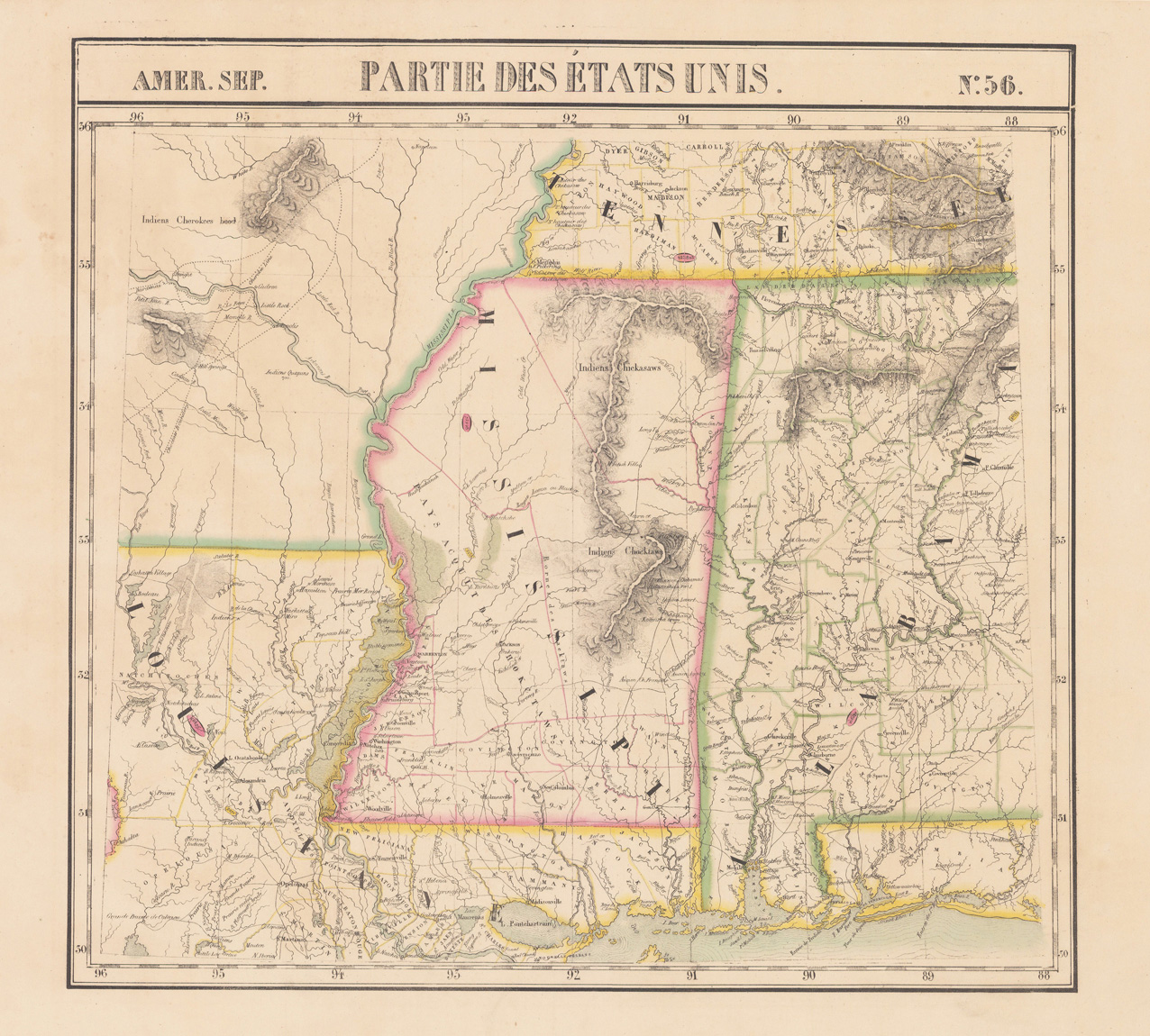
Copper engraving, hand colored in outline and wash when published. Fine engraved map of the state of Mississippi showing various rivers, trails, streets, villages and small place names. Mississippi is divided up into its counties in original wash hand color. The map is surrounded by descriptive text on Mississippi providing information on the climate, the rivers, cities and its history. A nice and decorative map of Mississippi and the course and mouth of the Mississippi into the gulf of Mexico. French edition of the 1822 in Philadelphia published map by Carey & Lea.
Copper engraving, hand colored in outline and wash when published. Fine engraved map of the state of Missouri various rivers, trails, streets, villages and small place names. Missouri is divided up into its counties in original wash hand color. The map is surrounded by descriptive text on Missouri providing information on the climate, the rivers, cities and its history. A nice and decorative map of the state of Missouri. French edition of the 1822 in Philadelphia published map by Carey & Lea. The actual map, which is surrounded by text, has the size of approx. 9 1/2 x 11 1/2 inches.
Copper engraving, uncolored as published. A very nice and quite detailed antique map, which shows the mouth of the Mississippi into the gulf of Mexico. With Pensacola in Western Florida, Mobile Bay in Alabama and Louisiana with New Orleans. The map is equipped with many place names, lakes, rivers, etc. An unusual early nineteenth century map published in Germany.
Copper-engraving, handcolored in wash and outline. The scene shows two inhabitants (Indians) of Florida around 1700. Probably depicted from scenes of earlier voyages to Florida.
Lithograph, original color in outline and wash. Detailed map, colored by counties and showing townships, towns, villages, post offices, canals, roads, railroads (projected and completed), towns, etc. In the upper part of the map two insets show the entrance to the Savannah River (left) and a city map of Savannah (right corner). A highly detailed map.
Lithograph, original color in outline and wash. Detailed map, colored by counties and showing townships, towns, villages, post offices, canals, roads, railroads (projected and completed), towns, etc. An inset map in the lower right corner shows Charleston Harbour and its approaches. A highly detailed map. With detailed explantions below the title.
Copper engraving, in contemporary original color in outline. Published in Zatta's "Atlante Novissimo" as sheet VII in his twelve-sheet map of the United States.
Lithograph, original color in outline and wash. This antique map shows a ground plan of Indianapolis and Louisville. The plans are very detailed with notes for houses, churches, streets, institutions, etc.
Lithograph, original hand colored in outline and wash. This antique map shows the southern states Georgia and Alabama. Inside the map are many place names, rivers, etc. The map has in the upper right and left corner insets, which show the Rice-Mill on Savannah River and the Tuscaloosa Observatory.
Lithograph, original hand colored in outline and wash. This antique map shows the southern states Georgia and Alabama. Inside the map are many place names, rivers, etc. Detailed map of Georgia and Alabama, the two southern states divided up into counties in fine hand color. A interesting and detailed map of the Southern United States for the beginning collector of antique maps of the Southeast.
Original antique copper engraving, uncolored. This antique map shows the Gulf of Mexico with many place names, rivers, mountain, lakes, etc. In the lower left corner we find the mileage scale. Rigobert Bonne (6 October 1727 – 2 September 1794) was a French cartographer, widely considered to be one of the most important cartographers of the late 18th century. In 1773 Bonne succeeded Jacques Nicolas Bellin as Royal Cartographer to France in the office of the Hydrographer at the Depôt de la Marine. Working in his official capacity, Bonne compiled some of the most detailed and accurate maps of the period. Bonne's work represents an important step in the evolution of the cartographic ideology away from the decorative work of the 17th and early 18th century towards a more detail oriented and practical aesthetic. With regard to the rendering of terrain Bonne maps bear many stylistic similarities to those of his predecessor, Bellin. However, Bonne maps generally abandon such common 18th century decorative features such as hand coloring, elaborate decorative cartouches, and compass roses. While mostly focusing on coastal regions, the work of Bonne is highly regarded for its detail, historical importance, and overall aesthetic appeal. (Wikipedia)
Lithograph, original color in outline and wash. This large decorative map shows the region from Missouri with many detailed place names, rivers, etc. In the upper right corner we find an inset map which shows a plan of south eastern portion of Missouri.
Steel engraving, hand colored in outline and wash when published. This antique map shows Arkansas with his canals, streets and distances from the main points. The map is equipped with many streets, routes, rivers, lakes, place names, etc. In the upper side we find a mileage scale and steamship routes: Little Rock - Pittsburg, Little Rock - Fort Gibson & Little Rock - New Orleans. A detailed engraved map by the famous German map maker Meyer Joseph. The map is based on Tanner's work in the early 1840s.
Steel engraving, hand colored in outline and wash when published. This antique map shows Arkansas with his canals, streets and distances from the main points. The map is equipped with many streets, routes, rivers, lakes, place names, etc. In the upper side we find a mileage scale and steamship routes: Little Rock - Pittsburg, Little Rock - Fort Gibson & Little Rock - New Orleans. A detailed engraved map by the famous German map maker Meyer Joseph. The map is based on Tanner's work in the early 1840s.
Original antique copper engraving, hand colored in outline and wash when published. Rare map of Northeast America by Christoph Weigel. Shows the entire eastern part of the United States to today's Texas. The map is based on the important map of G. de l'Isle from 1718. The Gulf region and Mississippi are shown in great detail. The exploration routes of Denis, Tonty, Cavelier, Moscoso and De Soto are shown. The title cartouche shows two people with a chest full of coins and a share certificate, based on the famous Mississippi Bubble. From a comfortable school and travel atlas also Atlas scholasticus et itinerarius by Christoph Weigel. Weigel published the famous travel atlas in collaboration with Professor Johann David Köhler. Johann Christoph Weigel, known as Christoph Weigel the Elder (9 November 1654 – 5 February 1725), was a German engraver, art dealer and publisher. He was born at Redwitz, Free imperial city of Eger in Egerland, and died in Nuremberg, aged 70. The cartographer Weigel worked around 1719 in Nürnberg and his maps are showing the typical style of this period in map making in Southern German. He worked very close as with Johann B. Homann in Nürnberg. All his maps were hand colored in outline and decorative body color immediatelly in his printing house, after they were printed.