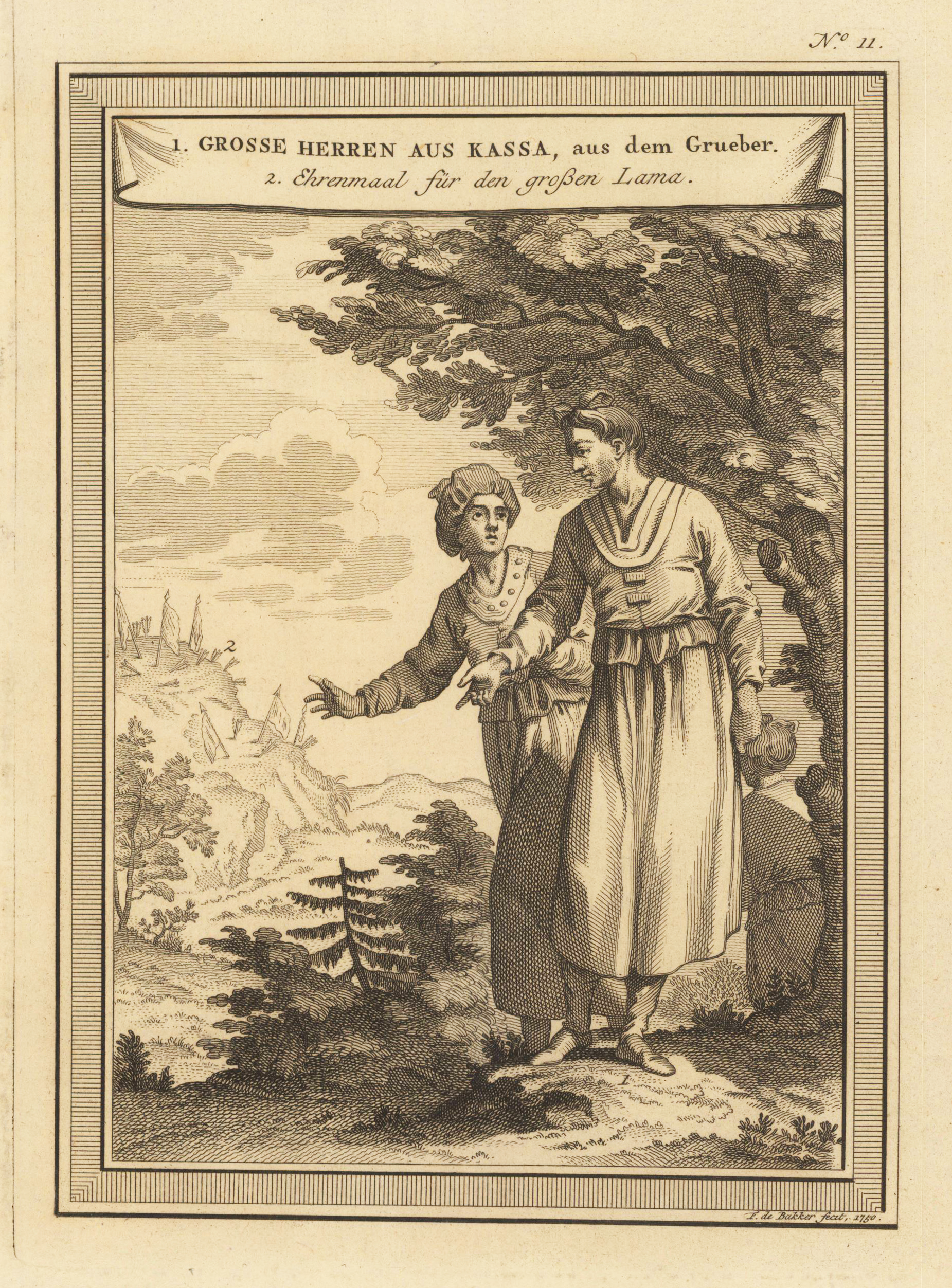
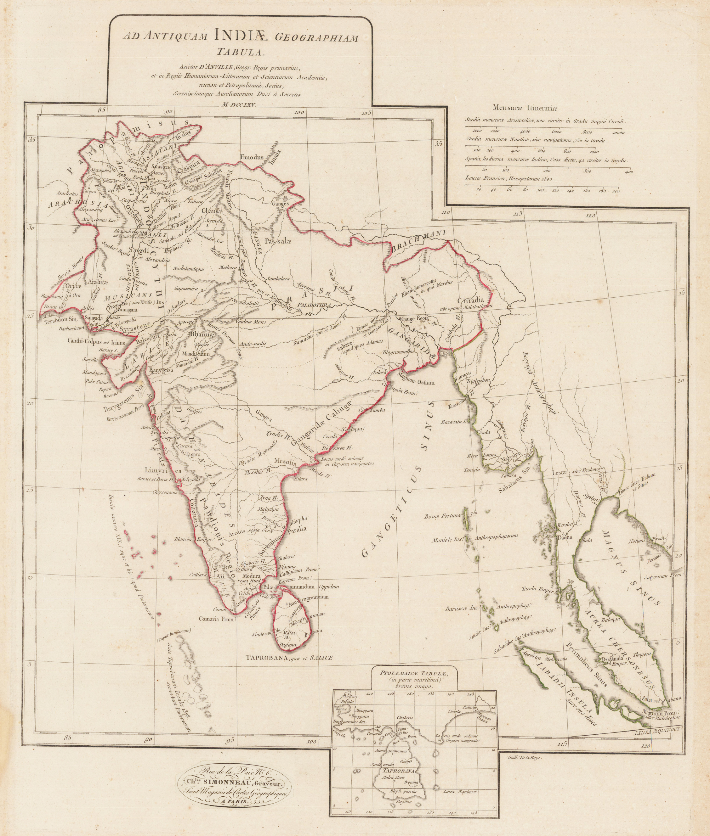
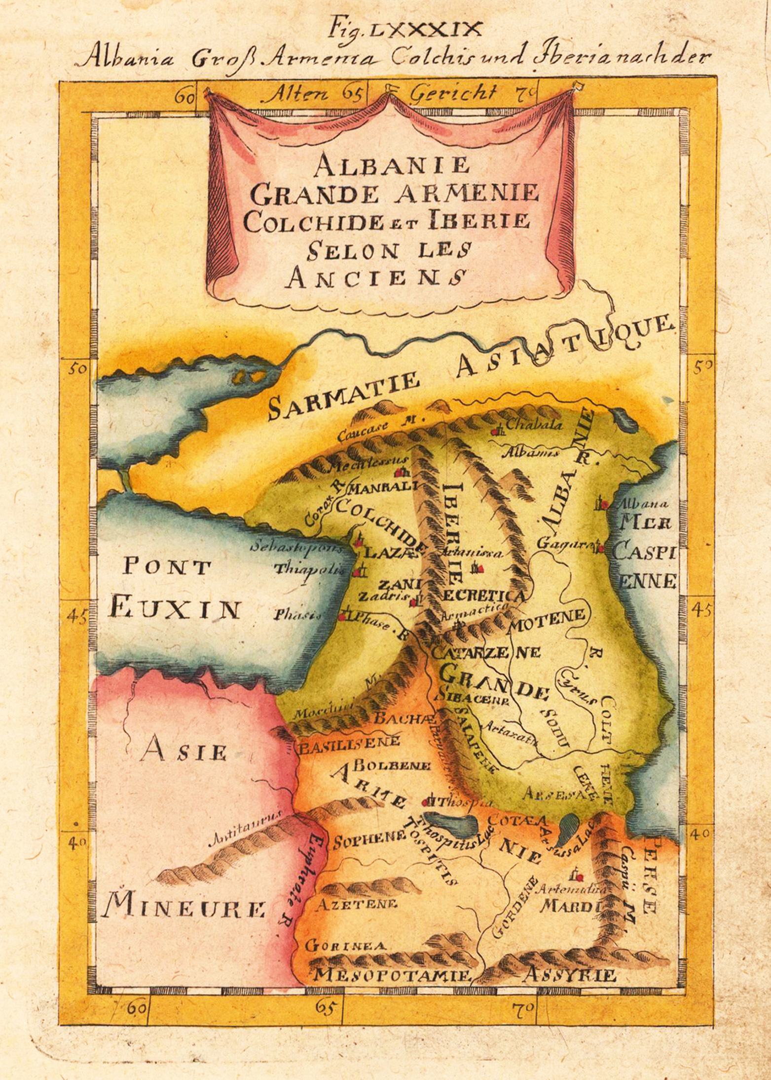
Original antique copper engraving, uncolored as published. As a cartographer, Bellin excelled above all in the field of sea cartography. From 1721 he worked for the Dépot des Cartes et Plans de la Marine, from 1741 until his death as a marine hydrographer. In 1753 his atlas Neptune français, which mapped all the coasts of France, was published, and in 1756 the hydrography françoise relating to all of the world's seas. In 1764 the five-volume Petit Atlas maritime appeared, which Bellin prepared on the orders of the Minister of the Navy, Choiseul. In addition, he wrote a number of geographical works and with Nouvelle méthode pour apprendre la géographie (1769) a geographical textbook for teaching. His maps illustrated, among other things, Bougainville's 1771 work Voyage autour du monde. (Wikipedia)
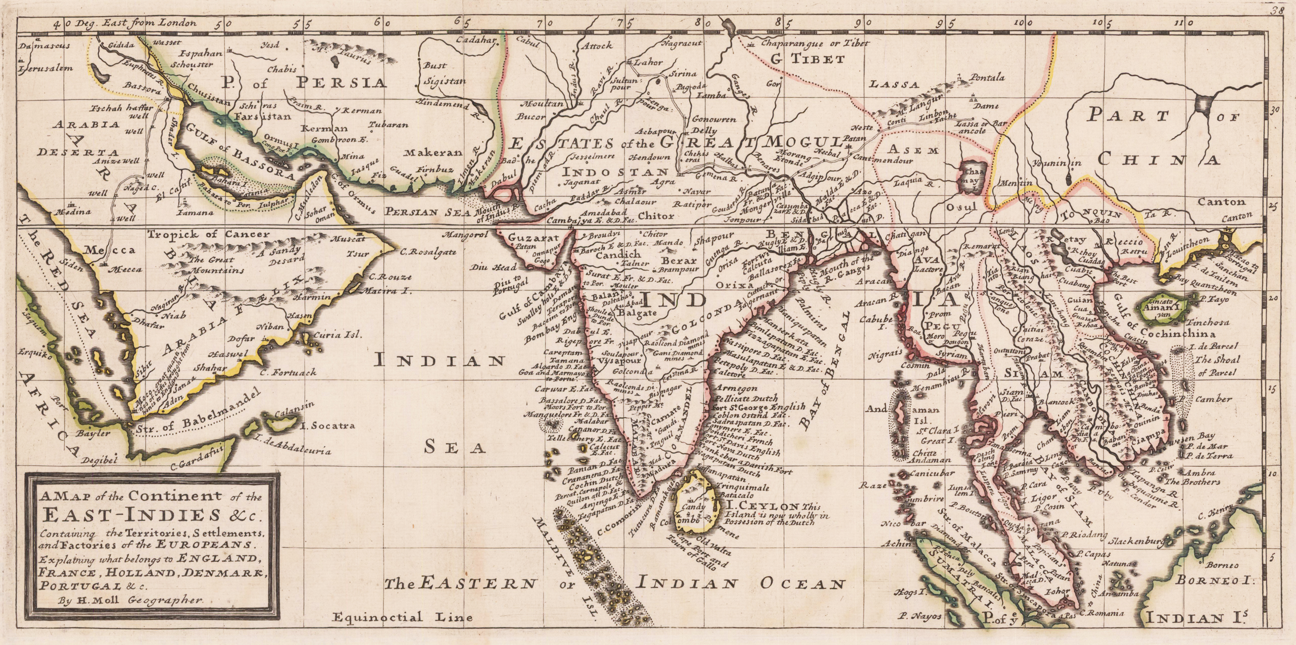
Copper engraving, decorative handcolored in outline. Small wide and decorative map showing the continent of India and the East Indies in Southeast Asia explaining what belongs to England, France, Holland, Denmark and Portugal. The map provides a good number of names of various larger and smaller islands and place names on those islands. The Geographer Hermann Moll worked came originally from the Netherlands and worked in London in the beginning for Moses Pitt. Later he became one of the important map publishers in England. The atlases, which he published were widely well known. He engraved as well maps for other English publishers (John Seller, etc.) .
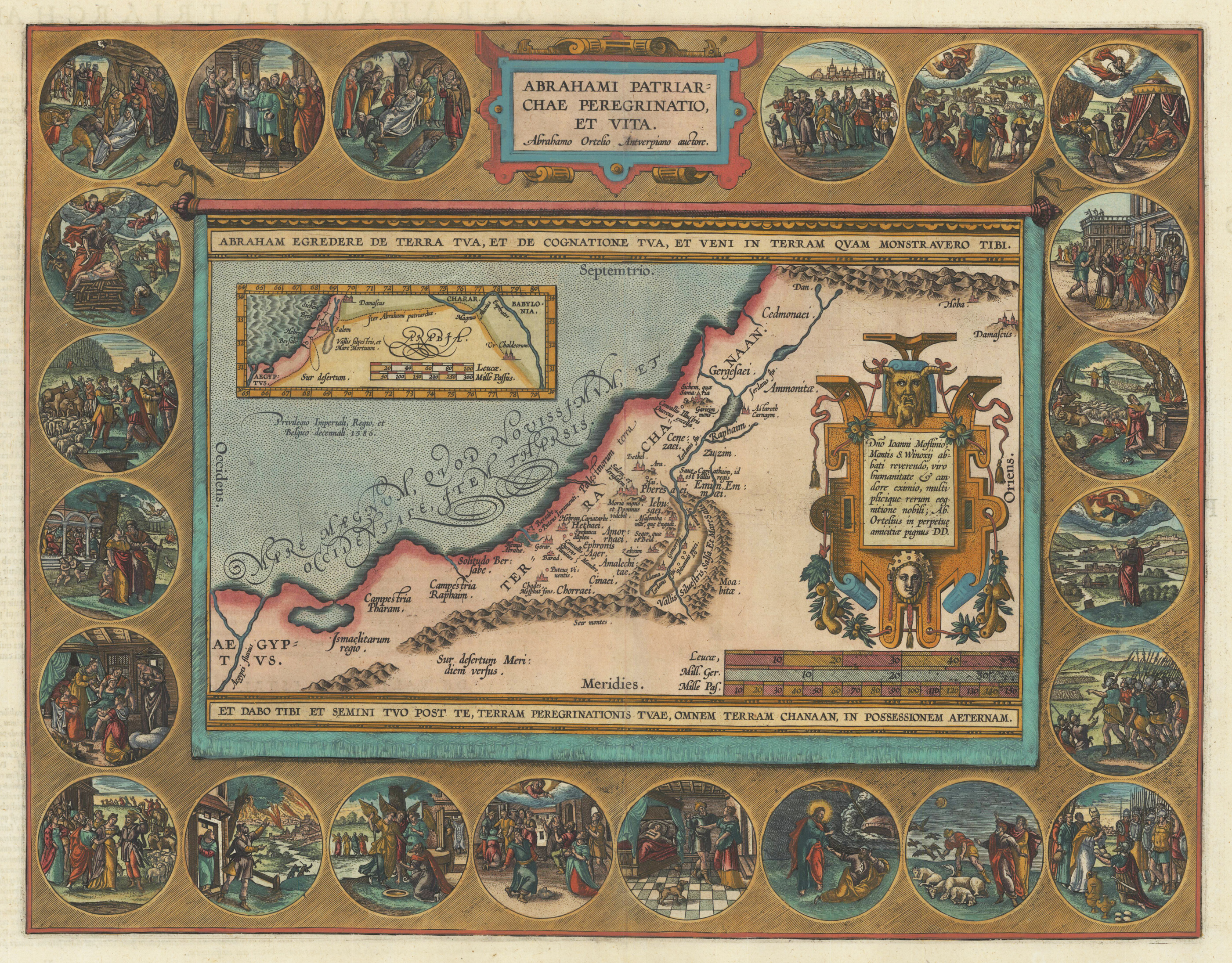
Original copper engraving, published 1612 in the famous historical atlas "Parergon" (Latin text-edition) by Abraham Ortelius. Finely later hand colored in wash and outline. The map shows the travels and life of Abraham. More else, this highly decorative map, is surrounded by 22 fine engraved medallions, which are showing episodes of the life of the Patriach Abraham. The map was published 1592 for the first time in Abraham Ortelius edition of the ,Theatrum Orbis Terrarum'. Ortelius, who created this map used as cartographical source for this map information from Ptolemy and from the bible, particulary for the illustrations of Abraham's life depicted in 22 medallions.
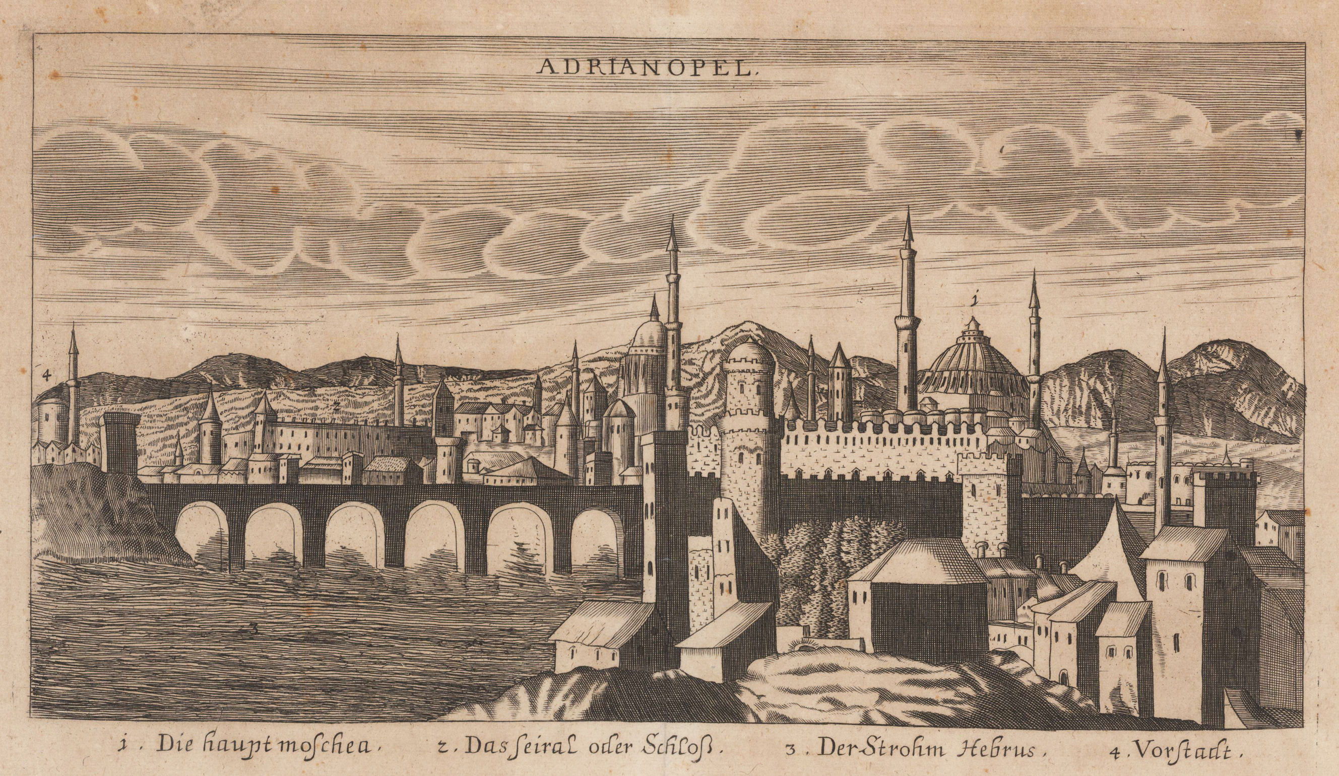
Original antique copper engraving, uncolored. Copper engraving from Johann Christoph Wagners,Delinatio Provinciarum Pannoniae Et Imperii Turcici In Oriente' 1685. Depicted is an overview of Adrianopel in Turkey, with mountains in the background. Under the view are declarations from 1 to 4.
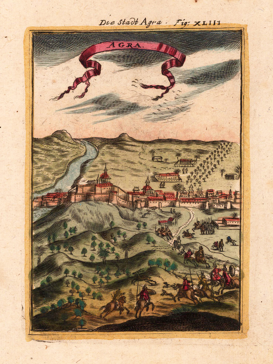
Copper-engraving, handcolored in wash and outline. Decorative city view showing the city of Agra in India, ornated in the foreground with a hunting scene.
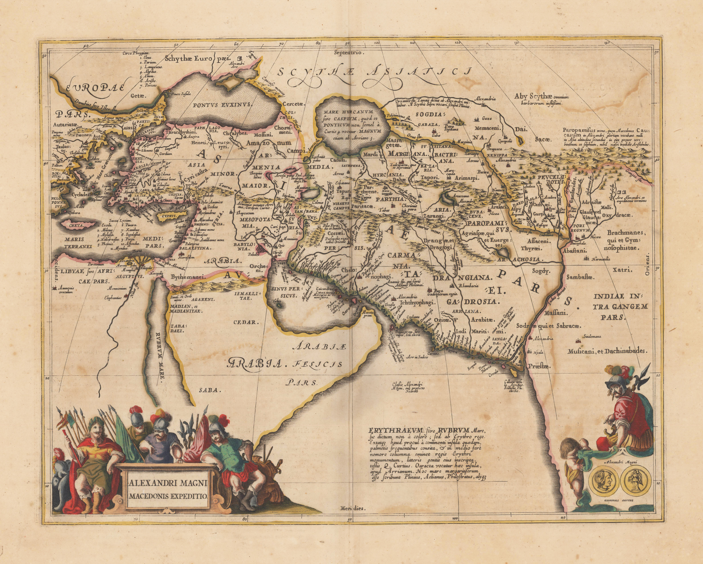
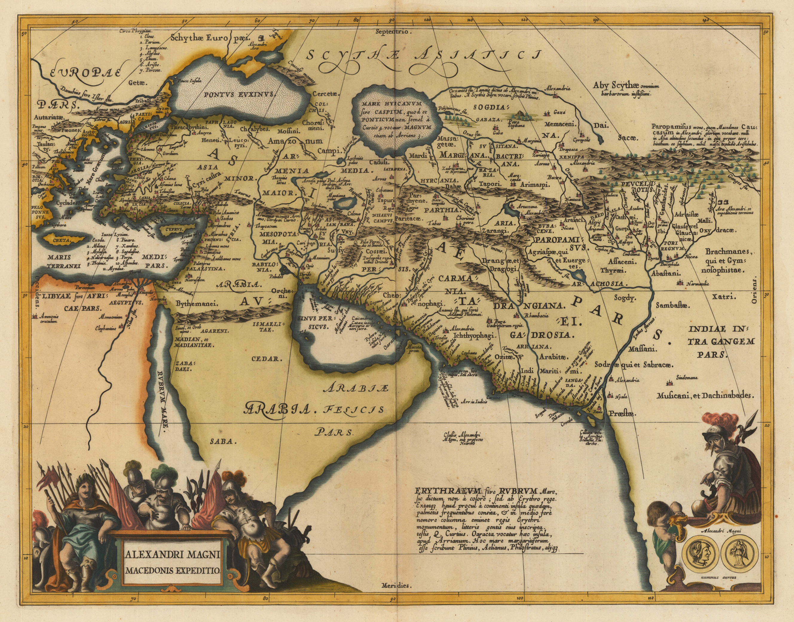
Original antique copper engraving, decorative hand colored in outline when published. Published in a Latin text edition of Joan. Jansson's historical Atlas. The map shows the region covered by Alexander the Great, ornated with two cartouches. In the lower left corner the title cartouche, on the lower right side a small decorative cartouche showing coins and a warrior. Villages and towns are shown as miniature views, as well rivers and mountains are engraved. Johannes Janssonius (1588, Arnhem – buried July 11, 1664, Amsterdam) (born Jan Janszoon, in English also Jan Jansson) was a Dutch cartographer and publisher who lived and worked in Amsterdam in the 17th century. Janssonius was born in Arnhem, the son of Jan Janszoon the Elder, a publisher and bookseller. In 1612 he married Elisabeth de Hondt, the daughter of Jodocus Hondius. He produced his first maps in 1616 of France and Italy. In 1623 Janssonius owned a bookstore in Frankfurt am Main, later also in Danzig, Stockholm, Copenhagen, Berlin, Königsberg, Geneva and Lyon. His wife Elisabeth died in 1627 and he married Elisabeth Carlier in 1629. He formed a partnership with his brother in law Henricus Hondius, and together they published atlases as Mercator/Hondius/Janssonius. Under the leadership of Janssonius the Hondius Atlas was steadily enlarged. Renamed Atlas Novus, it had three volumes in 1638, one fully dedicated to Italy. In 1646, a fourth volume came out with "English County Maps", a year after a similar issue by Joan Blaeu. Janssonius' maps are similar to those of Blaeu, and he is often accused of copying from his rival, but many of his maps predate those of Blaeu and/or covered different regions. By 1660, at which point the atlas bore the appropriate name "Atlas Major", there were 11 volumes, containing the work of about a hundred credited authors and engravers. It included a description of "most of the cities of the world" (Townatlas), of the waterworld (Atlas Maritimus in 33 maps), and of the Ancient World (60 maps). The eleventh volume was titled Atlas of the Heavens (a type of celestial cartography) by Andreas Cellarius. Editions were printed in Dutch, Latin, French, and a few times in German. After Janssonius's death, the publishing company was continued by his son-in law, Johannes van Waesbergen. The London bookseller Moses Pitt attempted publication of the Atlas Major in English, but ran out of resources after the fourth volume in 1683. (Wikipedia)
Copper engraving, decorative hand colored in outline and wash. Published in a Latin text edition of Joan. Jansson's historical Atlas, verso blank. The map shows the region covered by Alexander the Great, ornated with two cartouches. In the lower left corner the title cartouche, on the lower right side a small decorative cartouche showing coins and a warrior. Villages and towns are shown as miniature views, as well rivers and mountains are engraved.
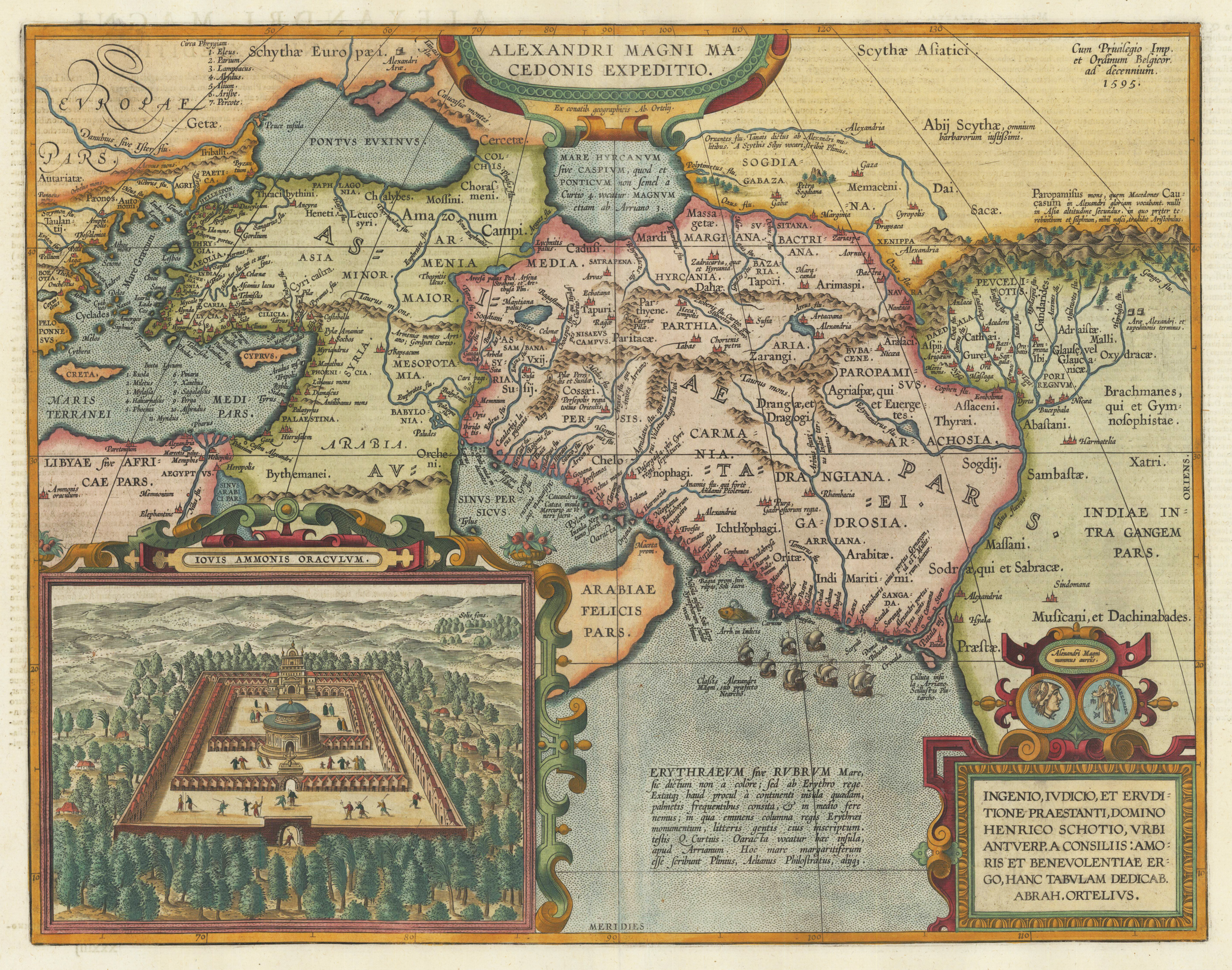
Original copper engraving, published 1612 in the famous historical atlas "Parergon" (Latin text-edition) by Abraham Ortelius. Finely later hand colored in wash and outline. Abraham Ortelius's historical map depicting the expedition of Alexander the Great with the inset view of the temple of Jupiter Amman, situated in present day in Libya, where Alexander the Great went to ask what would be the result of his expedition. The geographical sources of this map is based on various classical authors: Archelaus, Diogenes, Plinius, Ptolemy, Livius and Plutarch. This highly decorative and interessting historical map shows the Eastern Mediterranean Sea, the Middle East and Persia towards the neighbouring India. The fleet of Alexander the Great nicely engraved in the northern part of the Indian Ocean together with a small sea monster. Historical place names, rivers and mountain chains are engraved on the antique map. Lower right corner with a text cartouche with a dedication to Abraham Ortelius and above ornated with a coin showing a portrait of Alexander the Great. The map is ornated with two cartouches, on top in the middle the title cartouche, on the lower right side the decorative text cartouche and the ,priviliegium' with the date ,1595' in the upper right corner. In the lower left corner we find an inset showing the oracle of Jupiter Amman. Villages and towns are shown as miniature views. The map was published for the first time in 1595 in the edition of the ,Theatrum Orbis Terrarum' and was published until 1624 in the atlas ,Parergon' by A. Ortelius.
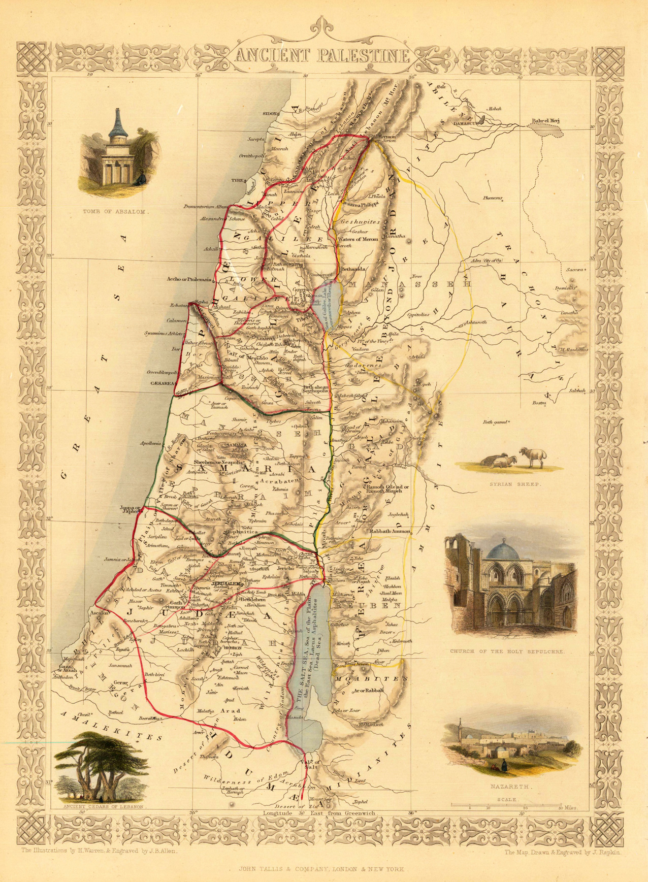
Steel engraving, hand colored in outline and wash. Fine engraved map is showing Ancient Palestine. The map is decorated with five finely hand colored engraved vignettes: the tomb of Absalom, the church of the holy sepulchre, a city view of Nazareth, ancient cedars of Lebanon and a Syrian sheep. The actual map was drawn and engraved by J. Rapkin. The illustrations were engraved by various artists: R. Radclyffe, W. Lacy, J. Rogers, J. H. Kernot, J. B. Allen, T. Fleming, H. Winkles, R. Baker after drawings by H. Warren, H. Winkles and H. Wray.
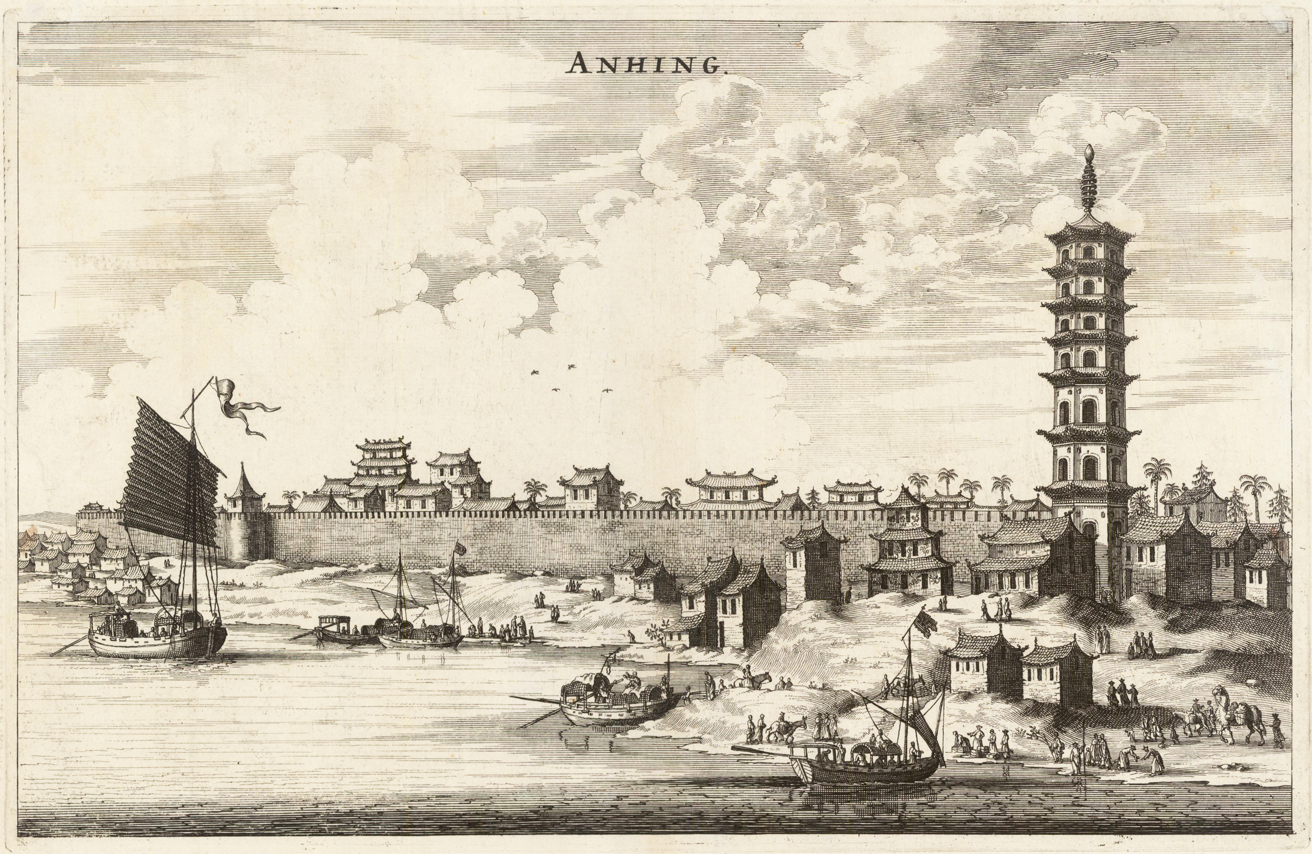
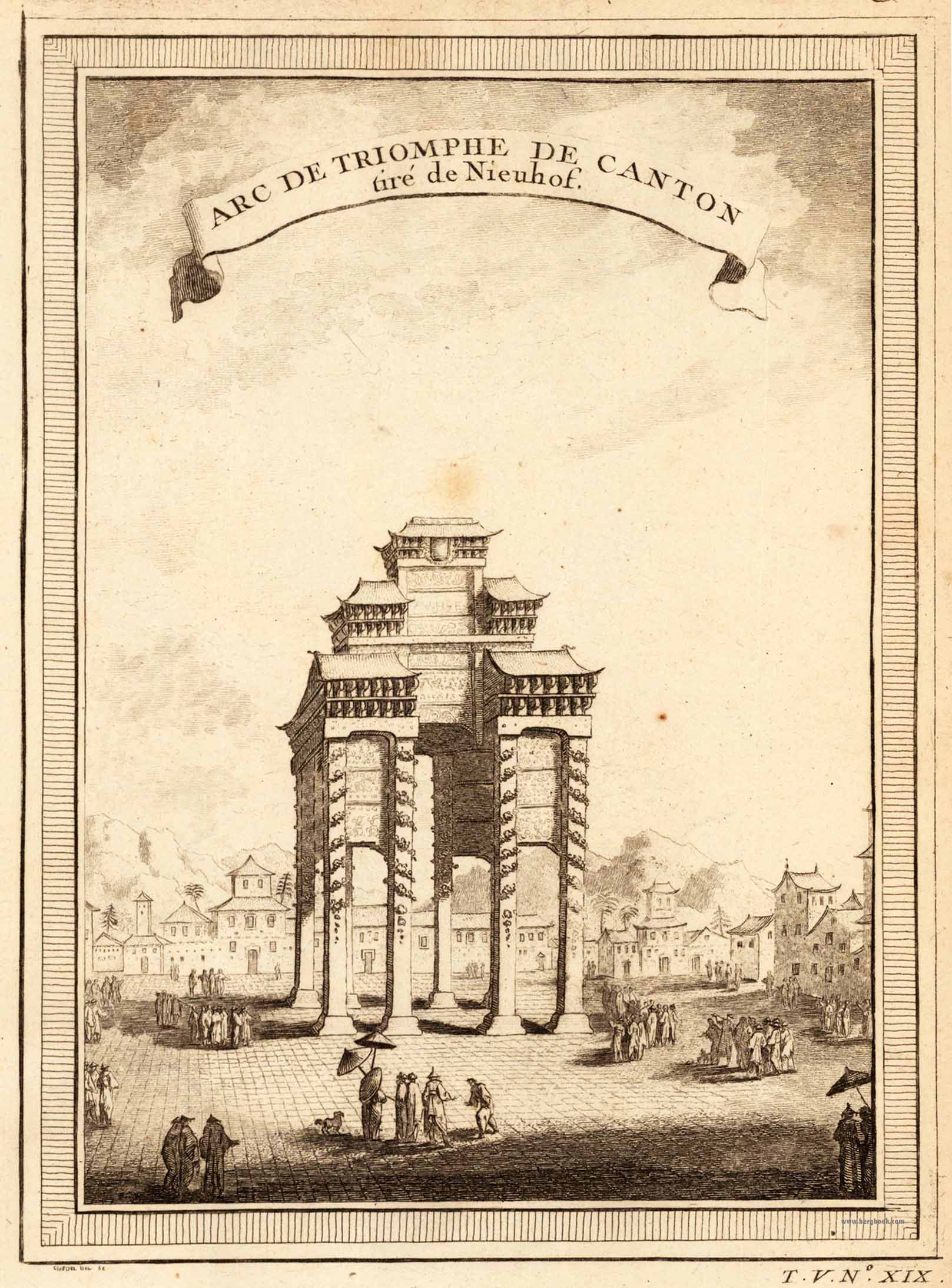
Original antique copper engraving, uncolored. This plaque shows a panoramic view of the Chinese city of Anhing with its city walls. In the foreground are many ships and a pagoda, an Asian place of religious worship. Johan Nieuhof was born in Uelsen, a town in the county of Bentheim, Lower Saxony, sitting just across the Dutch-German border. His father (originally from Zwolle) was mayor of the town, and was later succeeded by one of Johan's brothers and brother-in-law. By the grace of Cornelis Jan Witsen, a leading figure within the Dutch West India Company (or "WIC"), Nieuhof left for Dutch Brazil in 1640 as a reserve officer-candidate. From then on, barring two short family visits in 1658 and 1671, he spent all the rest of his life abroad. Nieuhof was employed in Brazil to explore the regions between Maranhão and the São Francisco Rivers, made a particular study of the neighborhood of Pernambuco. He left Brazil in 1649, after the Portuguese victory in the Second Battle of Guararapes. Upon his return, Nieuhof joined the service of the Dutch East India Company (or "VOC"). In service of the VOC he resided several years in Batavia, and then was appointed in 1654 steward of an embassy to the relatively new Qing emperor China under Peter de Goyer and Jacob de Keyser, which aimed to gain trading rights on China's southern coast. He remained in China until 1657. In 1663 he operated as an ambassador in Quilon, after the occupation of the Malabar Coast by Rijckloff van Goens. During this period he visited several chiefs of indigenous tribes in order to secure trade relations with them. Afterwards, he was offered a post on Ceylon where he was stationed between 1663 and 1667. He was imprisoned for seven months because of illegal trade in pearls. Nieuhof was sent to Batavia by Hendrik van Rheede and fired by the Dutch East India Company. On returning to the Indies from a trip home in 1672, he stopped on the isle of Madagascar. On October 8 1672, Nieuhof traveled inland along with the first mate, in search of the local tribes in order to trade with them, as well as secure water for his crew. Upon hearing several gunshots, the captain sent a second ship towards the island in order to await Nieuhof's return. After three days of waiting, the captain presumed Nieuhof and his company to be murdered and sailed onwards towards Mauritius. On order of the governing council in Amsterdam, a ship was sent from the Cape of Good Hope to retrieve Nieuhof and his fellows, but no trace of them could be found. (Wikipedia)
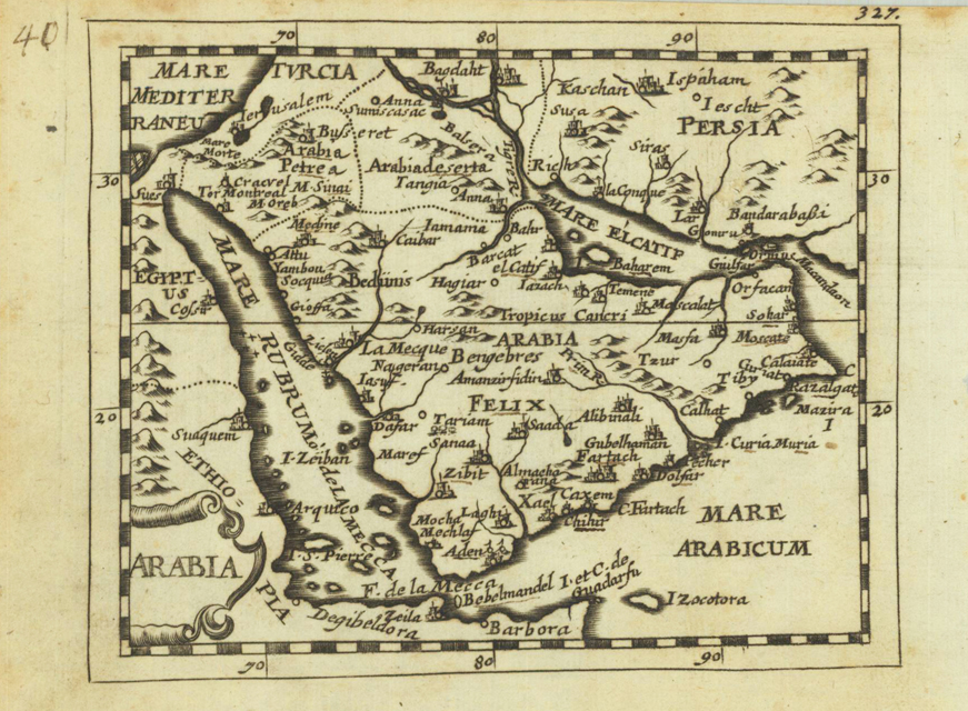
Original copper engraving, uncolored. Published in Pierre Du Val's atlas ,Anderer Theil der allgemeinen Weltbeschreibung von Europa' (German edition Nürnberg at Johann Hoffmann & Christoph Gerhard.
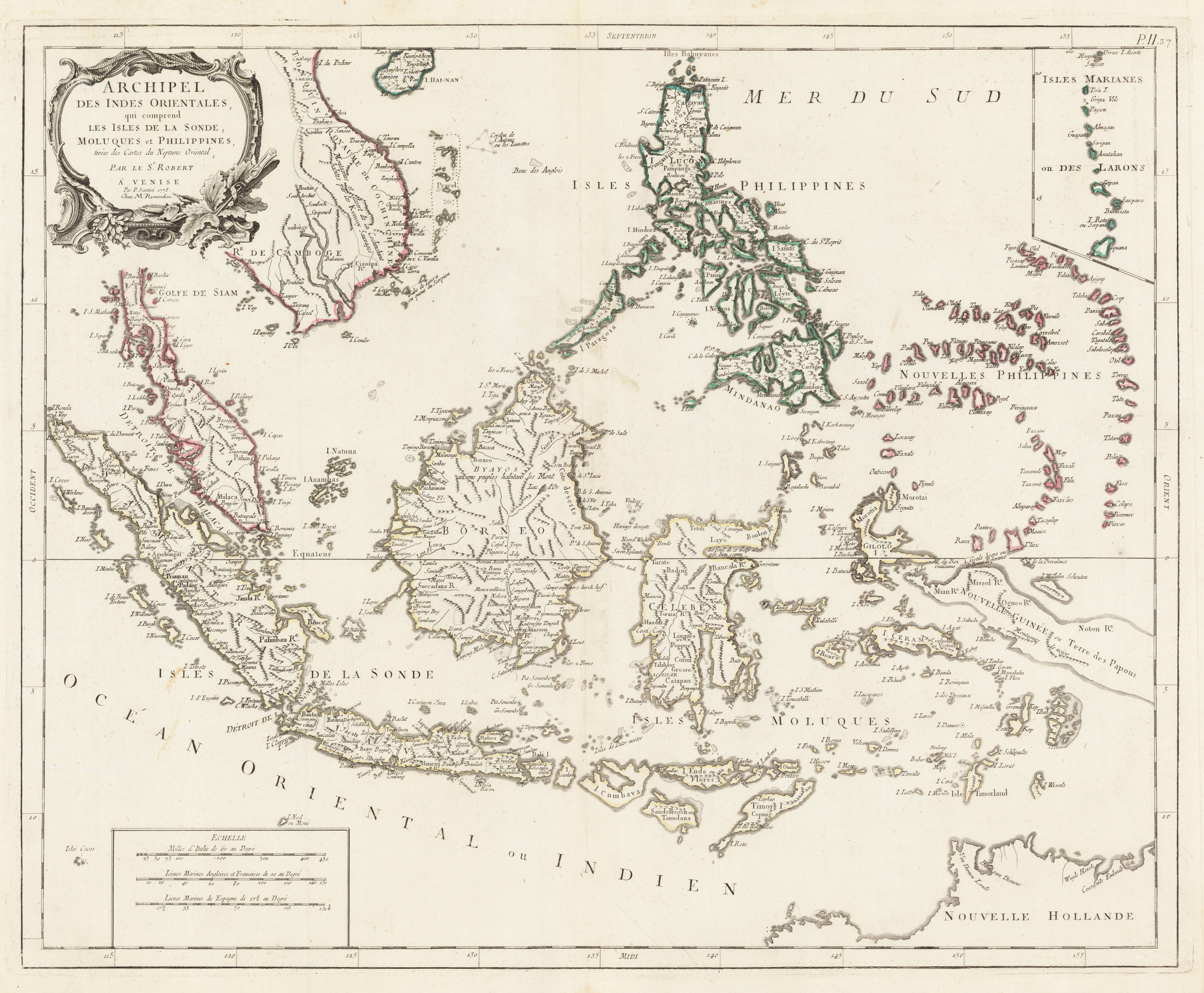
Copper engraving, hand colored in outline. Detailed map of the region from Sumatra and Malaca and Southern China to the Philippines, New Guinea and Northern Australia, centered on Borneo. Includes a inset of the Marianas.
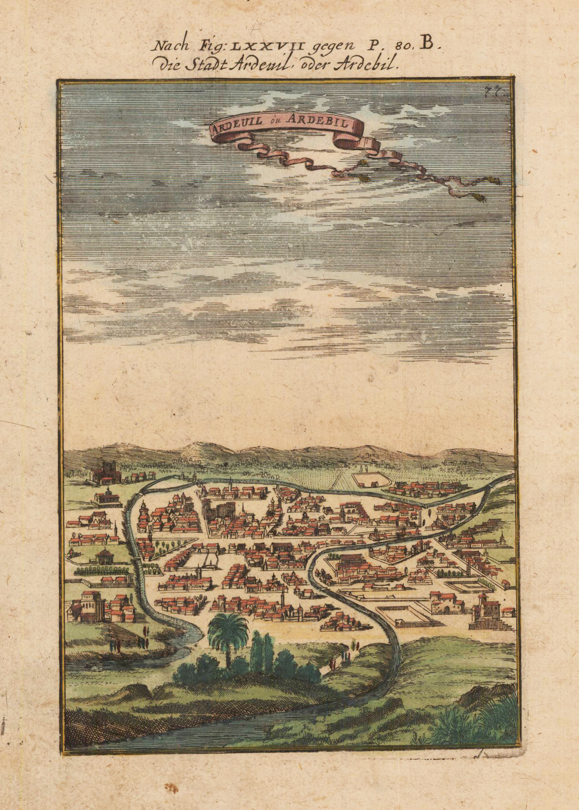
Copper engraving, hand colored in outline and wash. This is a rare 1719 Manesson Mallet engraving of "Ardeuil ou Ardebil", from "Beschreibung des rohen Welt Kreises...", a German translation of the gavel of the "Description de L'Univers." Alain Manesson Mallet (1630-1706) was a French cartographer and engineer. He started his career as a soldier in the army of Louis XIV, became a Sergeant-Major in the artillery and an Inspector of Fortifications. He also served under the King of Portugal, before returning to France, and his appointment to the court of Louis XIV. His military engineering and mathematical background led to his position teaching mathematics at court. [1] His major publications were 'Description de L'Univers' (1683) in 5 volumes, and 'Les Travaux de Mars ou l'Art de la Guerre' (1684) in 3 volumes. His 'Description de L'Universe' contains a wide variety of information, including star maps, maps of the ancient and modern world, and a synopsis of the customs, religion and government of the many nations included in his text. It has been suggested that his background as a teacher led to his being concerned with entertaining his readers. This concern manifests itself in the charming harbor scenes and rural landscapes that he included beneath his description of astronomical concepts and diagrams. Mallet himself drew most of the figures that were engraved for this book.
Copper engraving, uncolored as published. A fine detailed and interesting map engraved by Bellin after earlier voyages. Published in the German edition by Schwabe in Leipzig of Bellin's travel books.
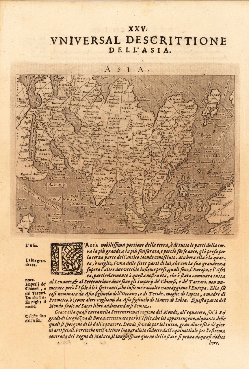
Fine copper-engraved map, printed into the full text page, published in 'Geografia ... Universale de la Terra', which was translated by Cernoti and published 1621 in Padua.
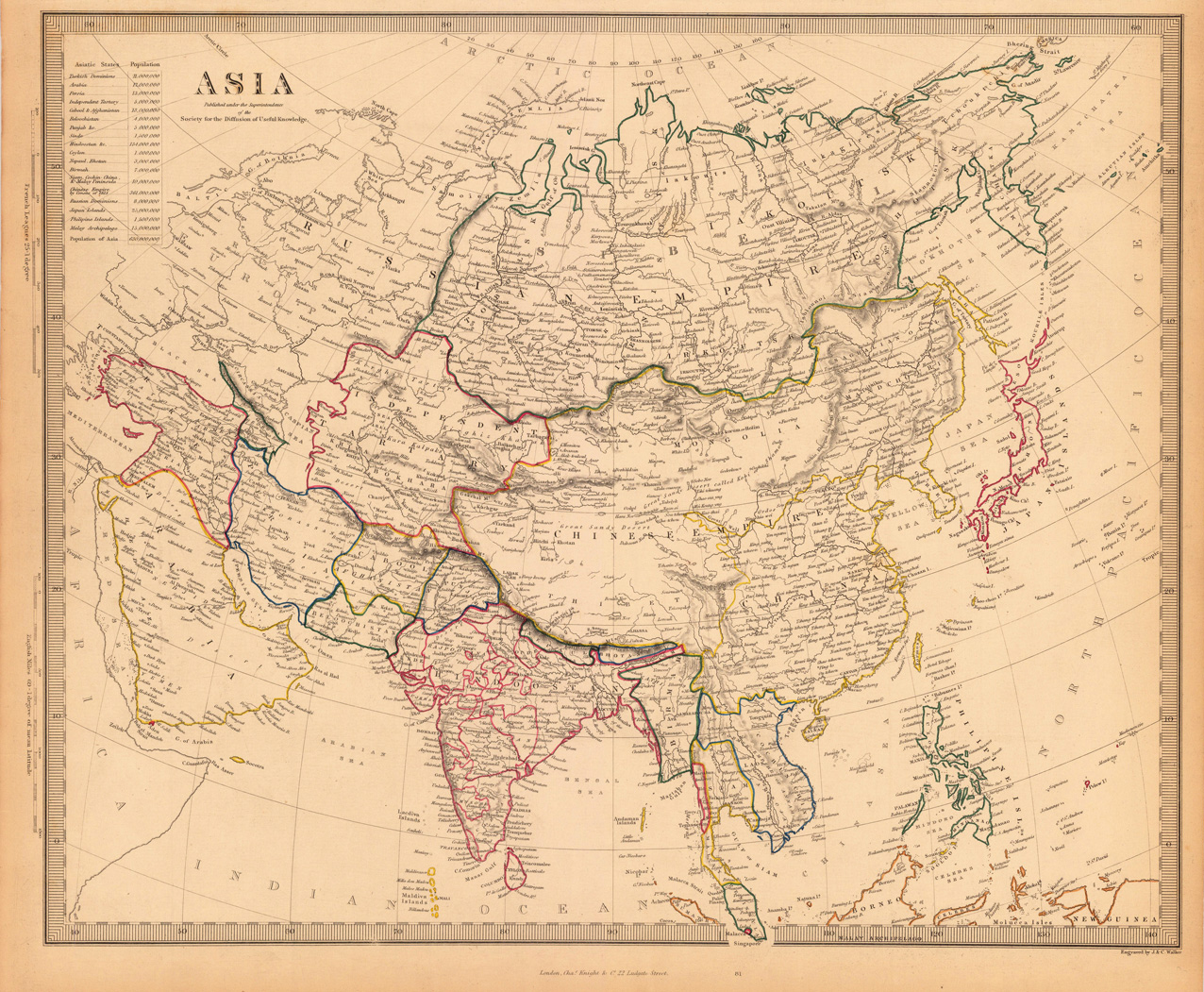
Steel engraving, hand colored in outline when published. This highly decorative map shows Asia. In the upper left corner we see the title with an ? (Höhenangaben?) The map is equipped with many small place names, rivers, mountains, many sea, etc.
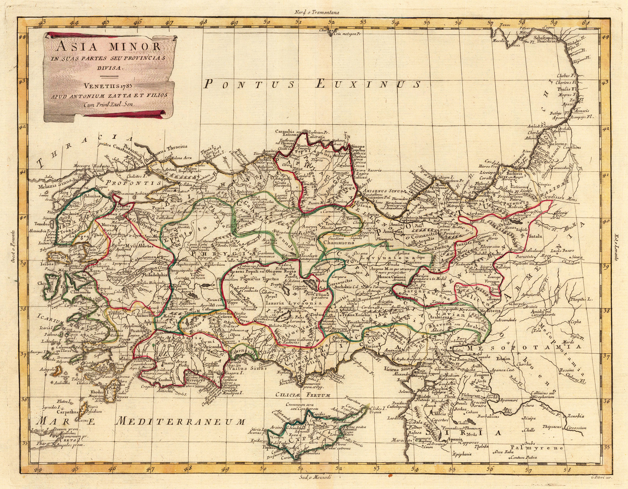
Copper engraving, in contemporary original color in outline. Published in Zatta's "Atlante Novissimo". A decorative map of Asia divided up into its regions with the neighboring island Cyprus in the Eastern Mediterranean Sea. Further it shows the adjacenting Armenia and Mesopotamia. Equipped with a decorative title cartouche in the upper left corner.
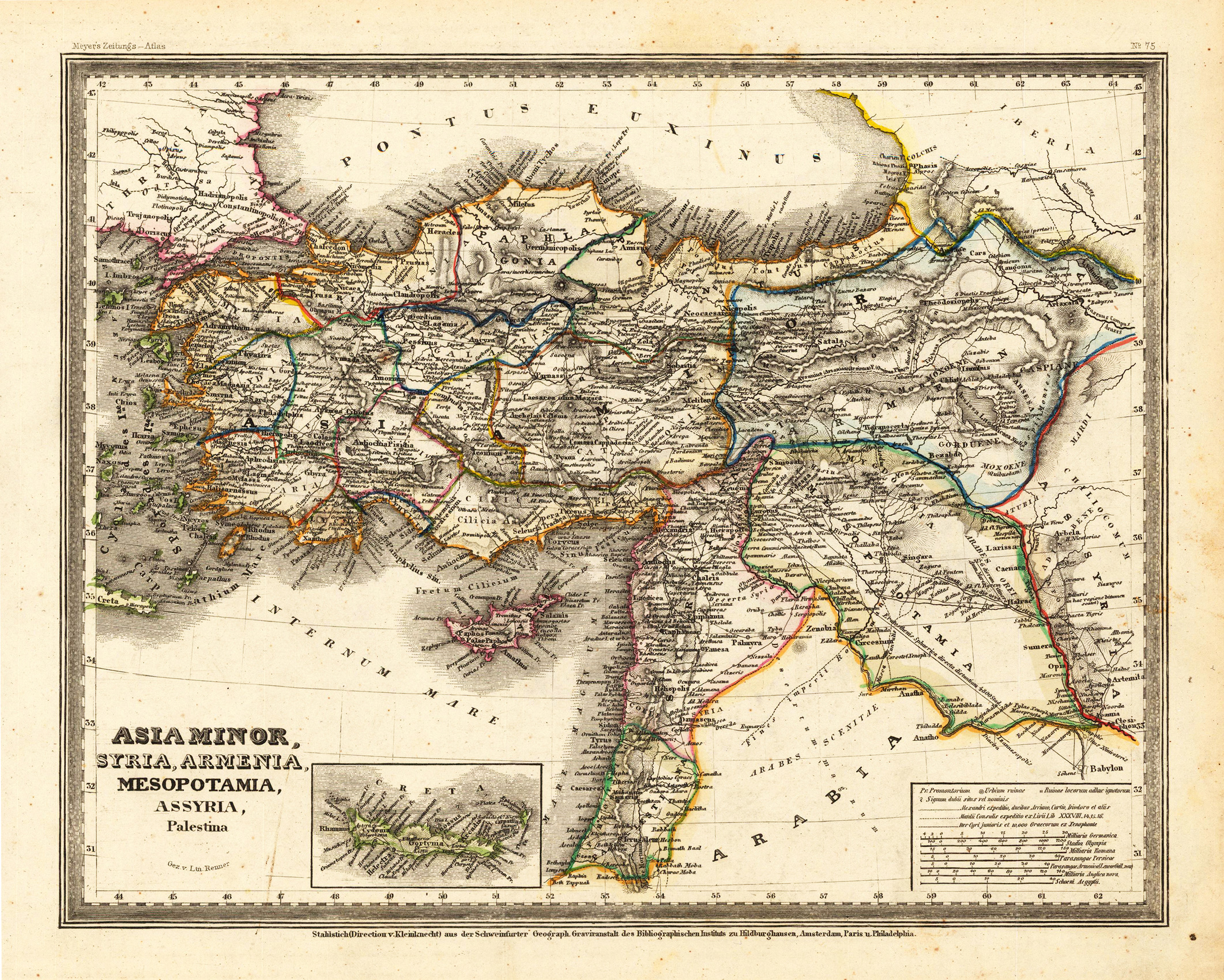
Steel engraving, hand colored in outline when published. This antique map shows Asia Minor with a small part of Arabia. Inside the map are many place names, rivers, etc. At the bottom of the map we see small inset map, which shows the island Crete. In the lower right corner is a inset map, which shows the mileage scales.