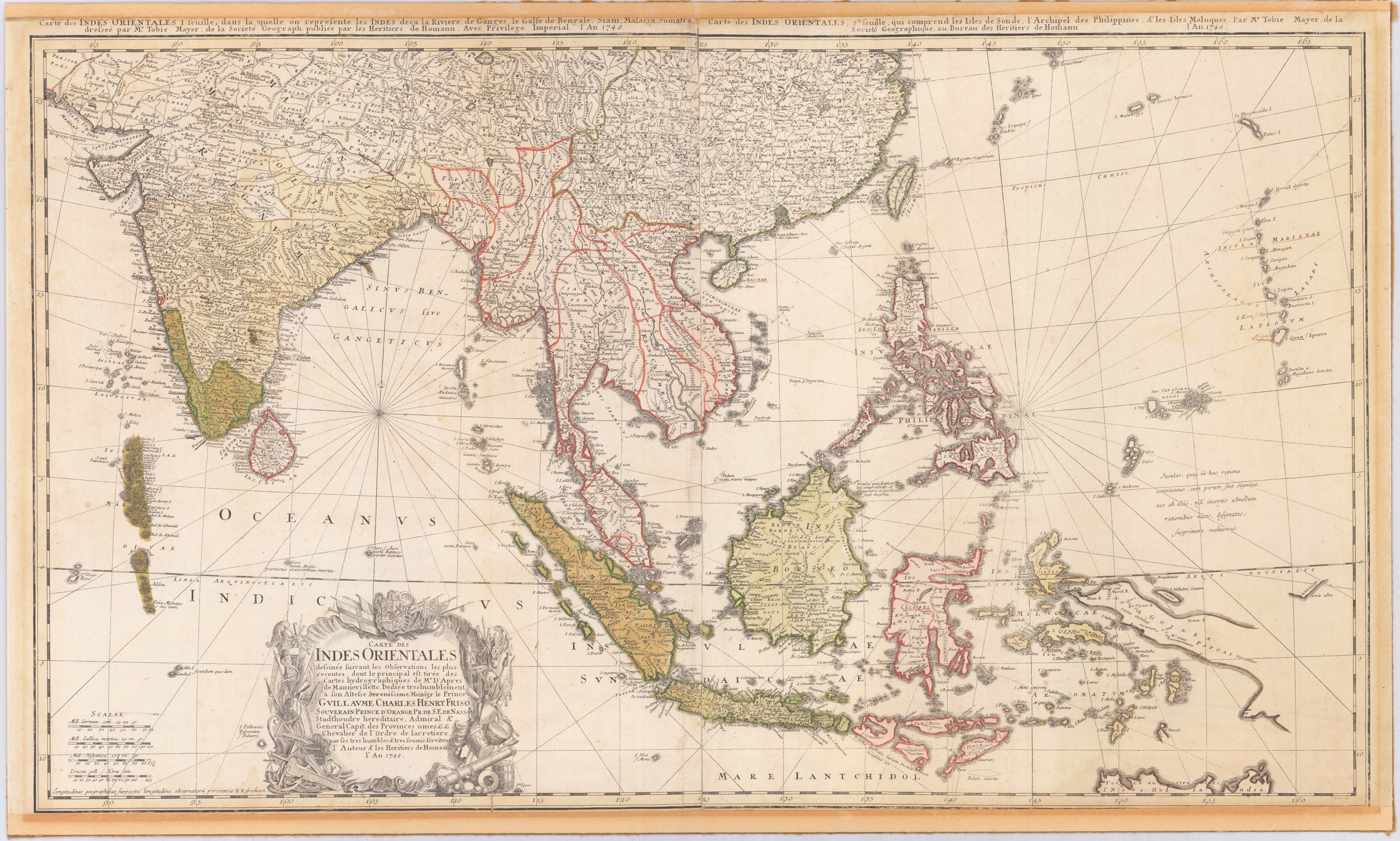
Original engraved map, printed from two plates and handcolored in wash and outline when published. A highly detailed and large map of South East Asia. Published by Homann´s Heirs and engraved after a drawing by Tobias Meyer in 1748. The left half of the map shows India with Delhi all the way to Burma, Vietnam, Laos, Malaysia, Sumatra and Singapore as well as the Maldives with the Indian Ocean. The right half of the map depicts the Philippines, Java, Borneo, Papua New Guinea and Eastern China. The title cartouche can be found on the left bottom including a dedication to the former Prince of Orange - Nassau, Wilhelm IV. Many engraved place names, mountains, rivers, lakes, political border are engraved on the map. The map was printed from two plates, these two sheets were joined together and then pasted down on cardboard. The upper margin cut close to the printed title at the top of the map, the bottom cut close to the engraved printed border line.
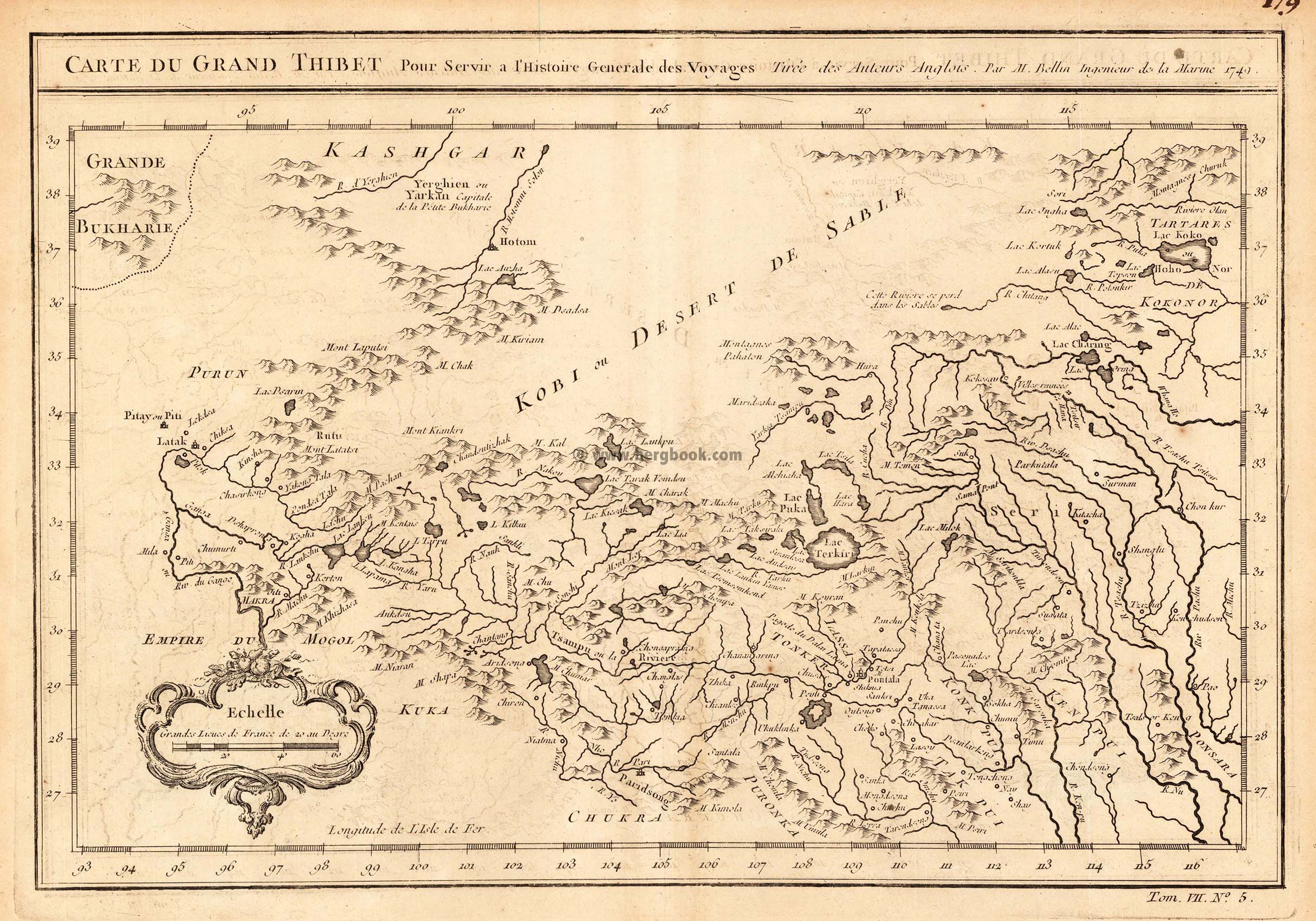
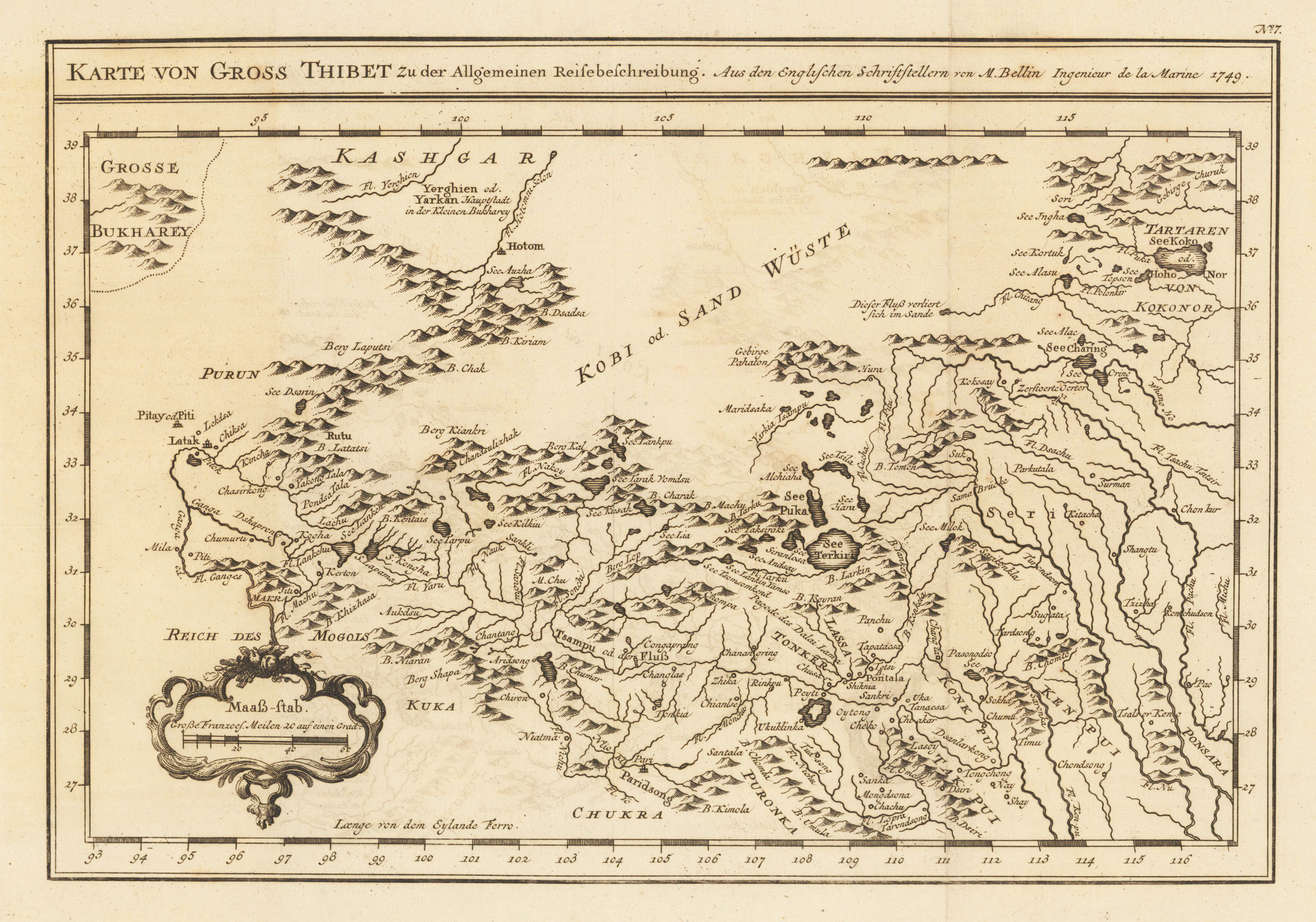
Copper engraving, uncolored as published. An interesting small and detailled antique map of Grand Thibet, these days called the autonom region Tibet. With many engraved details: rivers, lakes, some mountain chains and engraved names of villages and rivers. Published in an atlas volume of Nicolaus Bellin's ,Histoire generale des Voyages' around 1760 in Paris.
Copper engraving, uncolored as published. As a cartographer, Bellin excelled above all in the field of sea cartography. From 1721 he worked for the Dépot des Cartes et Plans de la Marine, from 1741 until his death as a marine hydrographer. In 1753 his atlas Neptune français, which mapped all the coasts of France, was published, and in 1756 the hydrography françoise relating to all of the world's seas. In 1764 the five-volume Petit Atlas maritime appeared, which Bellin prepared on the orders of the Minister of the Navy, Choiseul. In addition, he wrote a number of geographical works and with Nouvelle méthode pour apprendre la géographie (1769) a geographical textbook for teaching. His maps illustrated, among other things, Bougainville's 1771 work Voyage autour du monde. (Wikipedia)
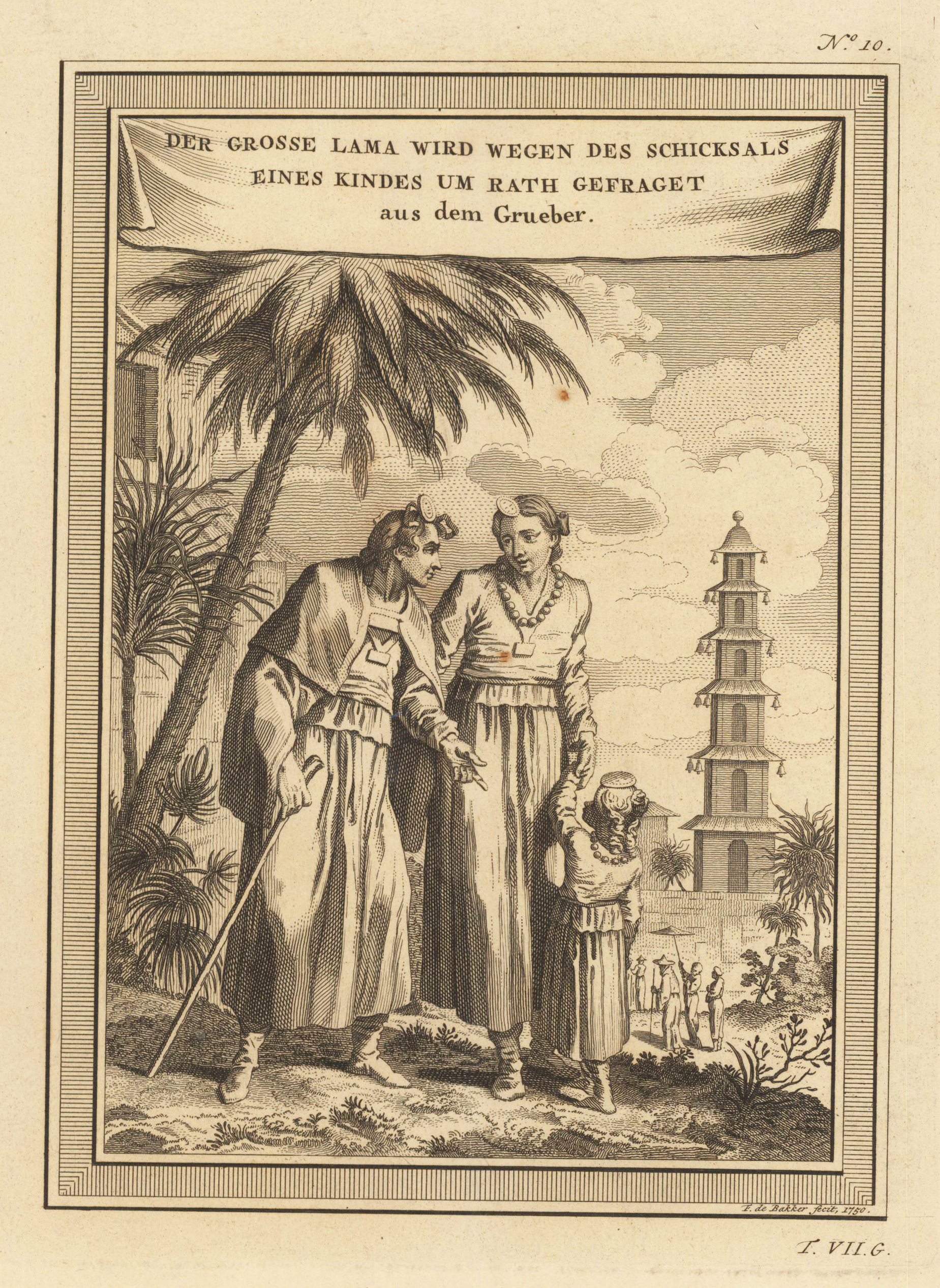
Copper engraving, uncolored as published. As a cartographer, Bellin excelled above all in the field of sea cartography. From 1721 he worked for the Dépot des Cartes et Plans de la Marine, from 1741 until his death as a marine hydrographer. In 1753 his atlas Neptune français, which mapped all the coasts of France, was published, and in 1756 the hydrography françoise relating to all of the world's seas. In 1764 the five-volume Petit Atlas maritime appeared, which Bellin prepared on the orders of the Minister of the Navy, Choiseul. In addition, he wrote a number of geographical works and with Nouvelle méthode pour apprendre la géographie (1769) a geographical textbook for teaching. His maps illustrated, among other things, Bougainville's 1771 work Voyage autour du monde. (Wikipedia)
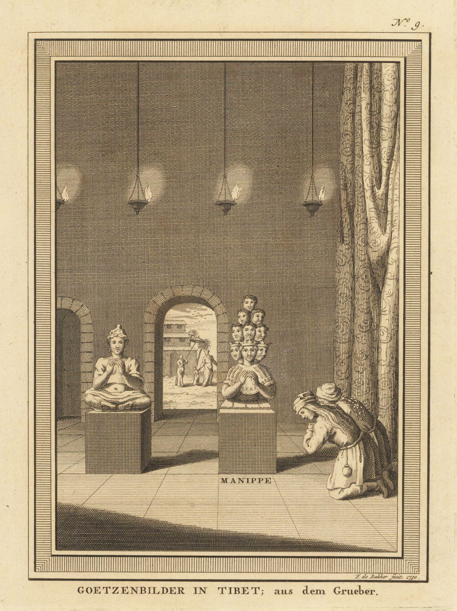
Copper engraving, uncolored as published. A fine detailed and interesting map engraved by Bellin after earlier voyages. Published in the German edition by Schwabe in Leipzig of Bellin's travel books. As a cartographer, Bellin excelled above all in the field of sea cartography. From 1721 he worked for the Dépot des Cartes et Plans de la Marine, from 1741 until his death as a marine hydrographer. In 1753 his atlas Neptune français, which mapped all the coasts of France, was published, and in 1756 the hydrography françoise relating to all of the world's seas. In 1764 the five-volume Petit Atlas maritime appeared, which Bellin prepared on the orders of the Minister of the Navy, Choiseul. In addition, he wrote a number of geographical works and with Nouvelle méthode pour apprendre la géographie (1769) a geographical textbook for teaching. His maps illustrated, among other things, Bougainville's 1771 work Voyage autour du monde. (Wikipedia)
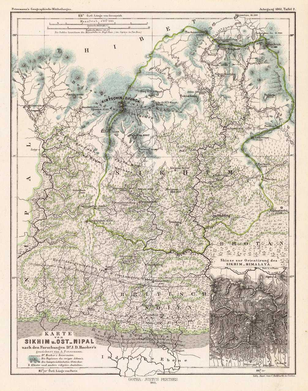
Original lithograph, handcolored in outline. Detailled map of Sikhim and Eastern Nipal with the neighbouring Tibet and Mt. Kintschin-Djunga based on the expeditions of Dr. J.D. Hooker. The map provides pretty good information on elevations, various woods, mountains, rivers, glaciers and monastries. In the lower right corner a small inset map to the 'Sikhim-Himalaya'.
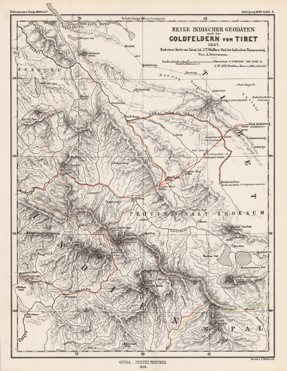
Original lithograph, with handcolored travelroute. Detailled travelroute to the goldfields in Tibet 1867, based on a map after Lt. Col. J.T. Walker. This detailled map shows the region 'Provinz Nart-Khorsum' between India and Tibet. The map is eqipped with elevations, rivers and several names of various mountains.