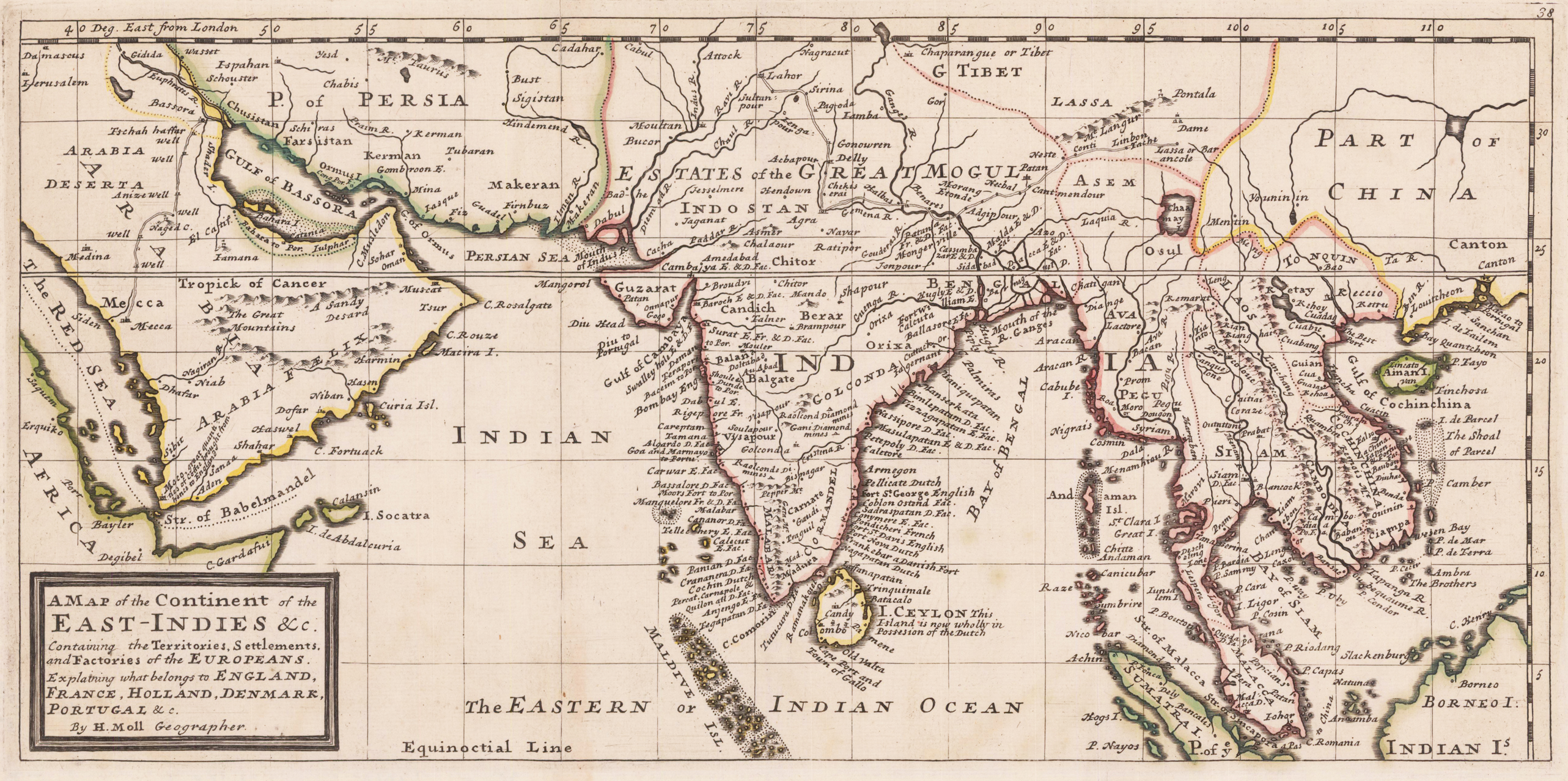
Copper engraving, decorative handcolored in outline. Small wide and decorative map showing the continent of India and the East Indies in Southeast Asia explaining what belongs to England, France, Holland, Denmark and Portugal. The map provides a good number of names of various larger and smaller islands and place names on those islands. The Geographer Hermann Moll worked came originally from the Netherlands and worked in London in the beginning for Moses Pitt. Later he became one of the important map publishers in England. The atlases, which he published were widely well known. He engraved as well maps for other English publishers (John Seller, etc.) .
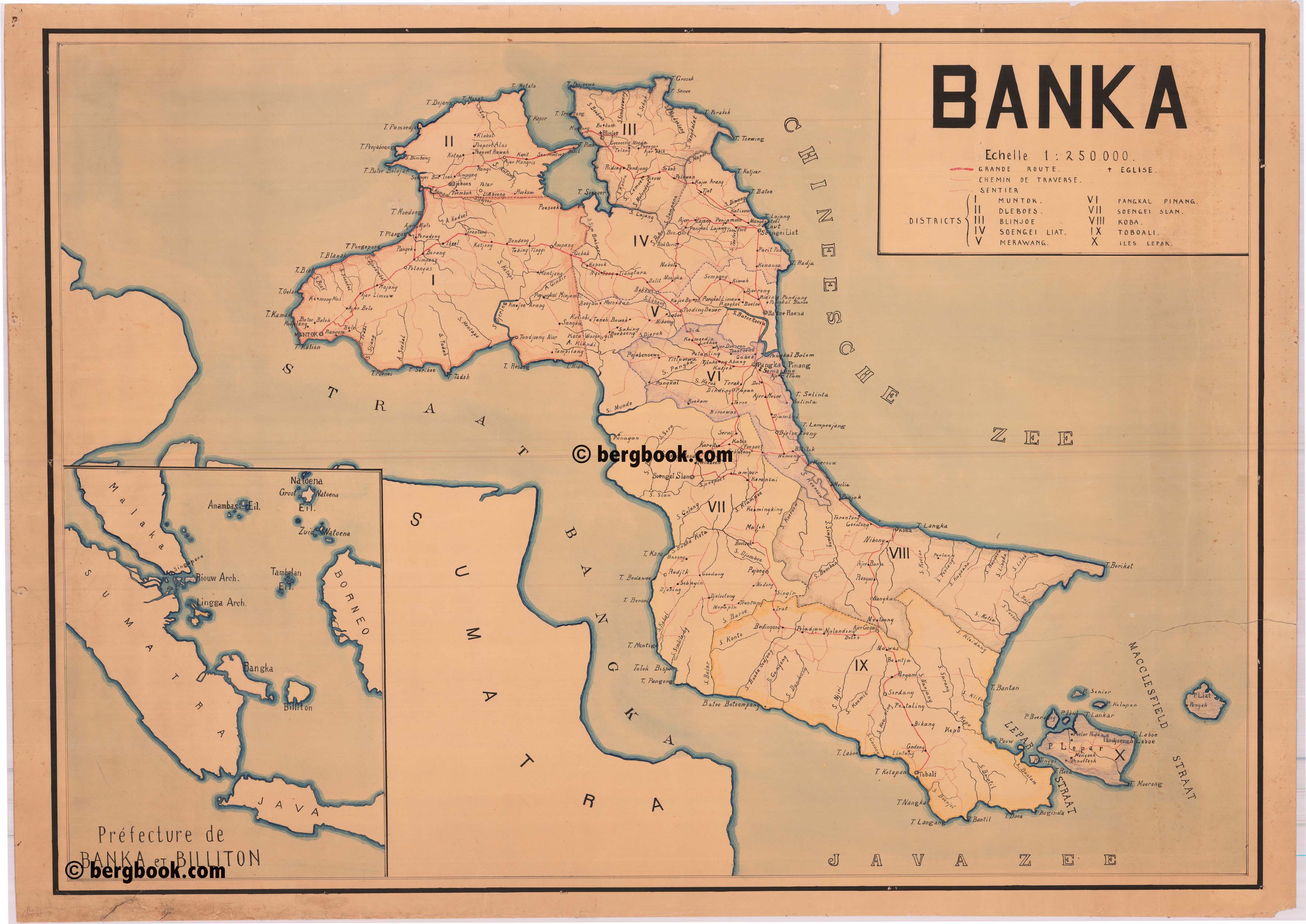
Original manuscript map in colors. This antique manuscript map shows the island of Banka (Bangka, Bangka-Belitung) in North Sulawesi / Indonesia with the neighboring island of Belitung, Pulau Lepar, the Macclesfield Strait and the Island Pilau Laita close to the southeastern coast of Sumatra. The Island of Bangka, which is located just off of the southeastern coast of Sumatra, had fallen in the 19th century under official European administration. It began with the Dutch, who annexed Bangka and Belitung in 1806. The region was occupied by the British in 1812 (during the Napoleonic Wars), but Bangka was returned to the Dutch in 1814, followed by Belitung in 1816, and the islands were absorbed into the Dutch East Indies. In the lower left corner is an inset map showing parts of Malaka, Sumatra, Java and Borneo and the isalands Banka, Billiton and the Riouw and Lingga Archipel. The inset map shows as well the straits of Malaka, Singapore is named on the map and also the Riau Archipelago (Riouw Arch.) and Lingga Archipelago. According to the style of the map and its paper we asume the manuscript was produced probably mid of the 19th century. The actual handdrawn map of the isaland of Bangka is a highly detailed map, probably all place names are given on the map, a scale of 1: 250,000 was used; Bangka island is divided up into its 10 districts. The individual districts are marked and named on the map, further larger and smaller streets or trails, churches and rivers with their names are detailed drawn on the map. Overall in very good condition. Minor frayed margins, one larger old (verso repaired tear) into the centre of the map.
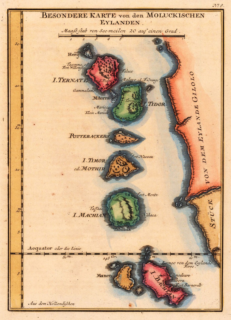
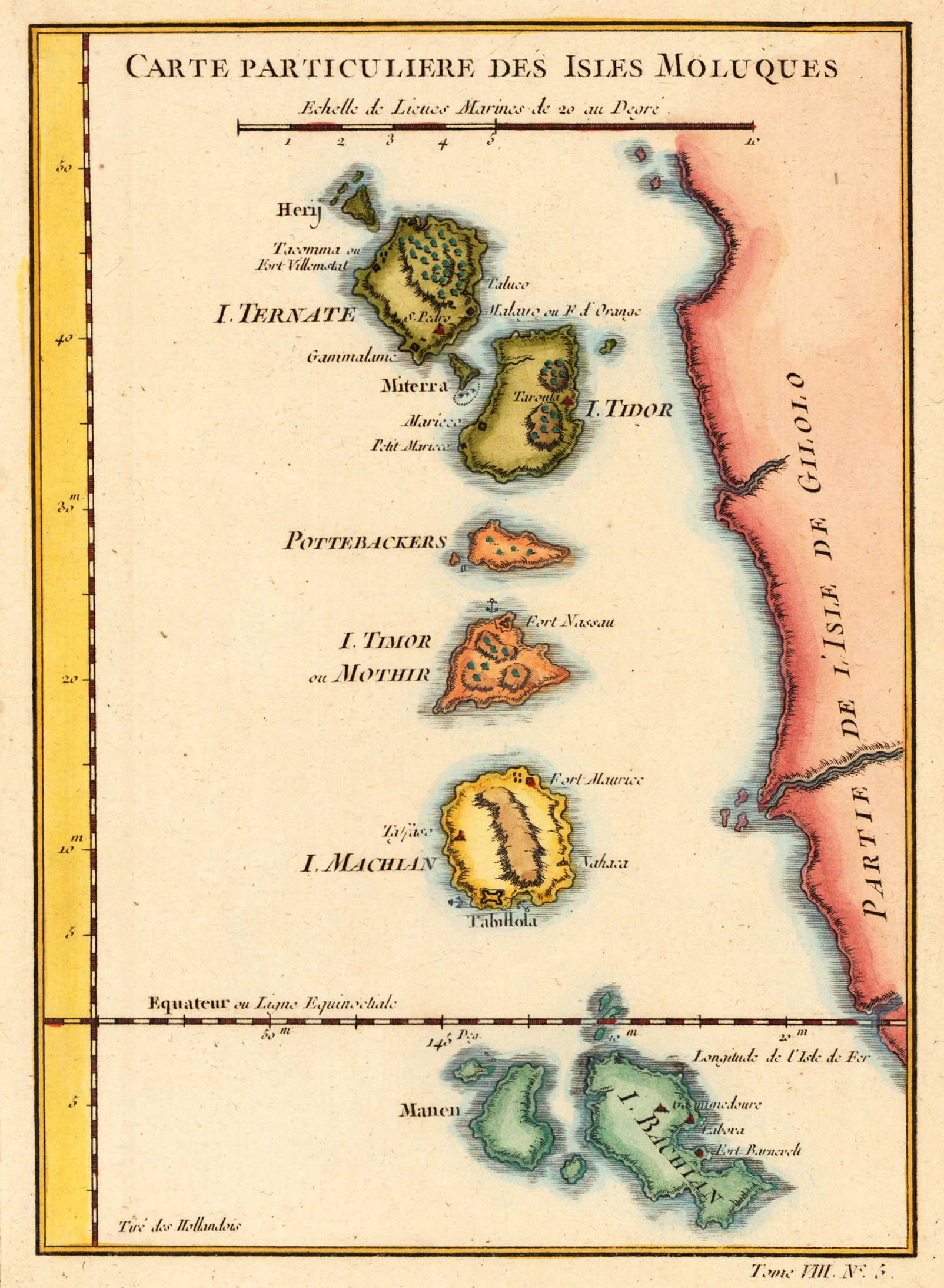
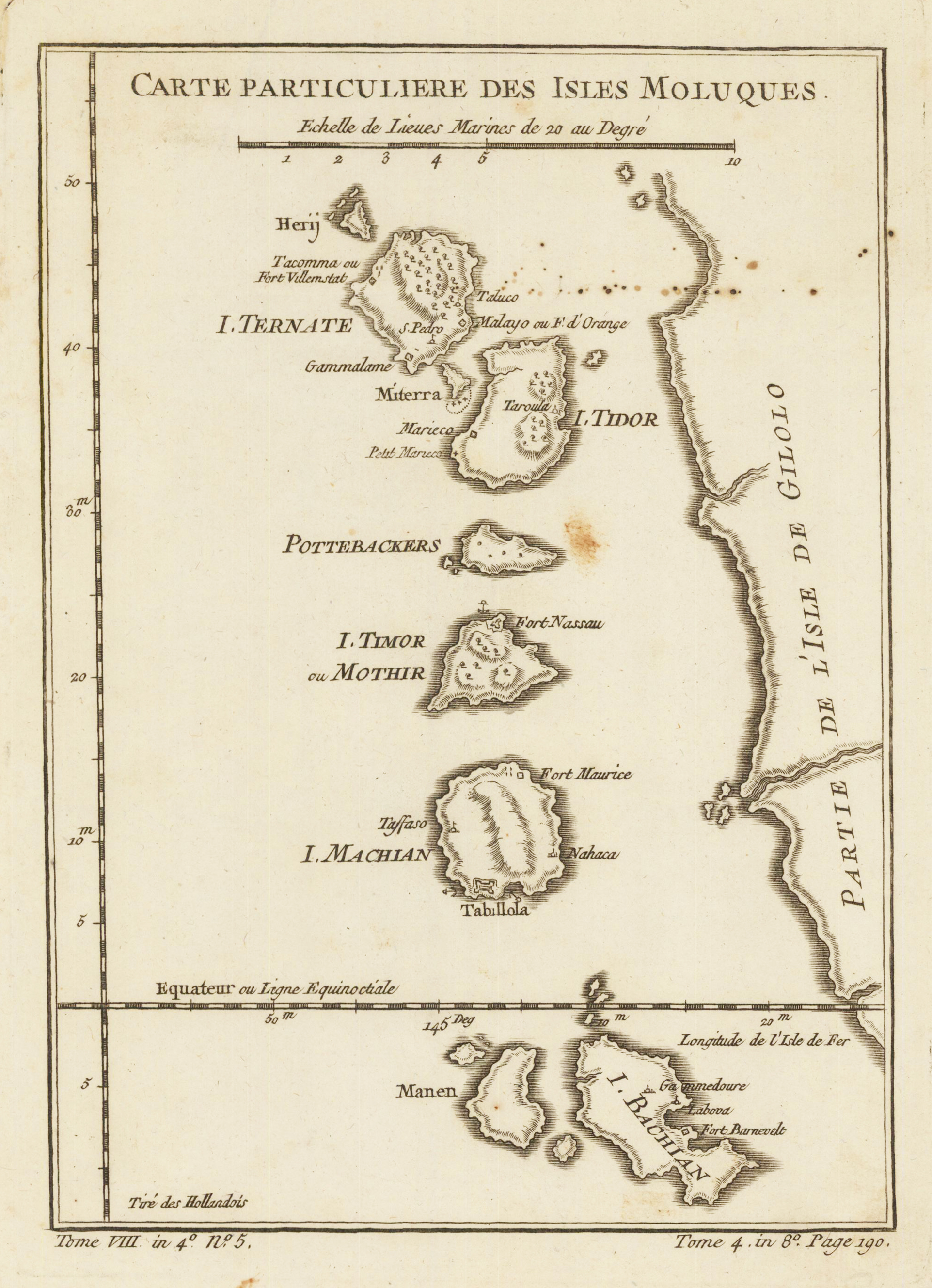
Copper engraving, decorative handcolored in wash and outline. A fine and detailed map showing the little Molucc Islands Ternate, Miterra, Tidor, Pottebackers, Timor (Mothir), Machian, Manen and Bachian located nearby the island of Gilolo. With engraved place names on the map, as well a few anchor places or other small detaills are engraved. Below the title a small mileage scale. Detailled and interesting map engraved by Bellin after earlier voyages. A fine detailed and interesting map engraved by Bellin after earlier voyages. Published in the German edition by Schwabe in Leipzig of Bellin's travel books.
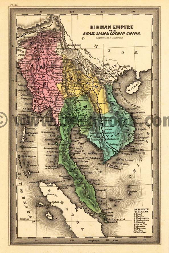
Steel engraving, hand colored in outline and wash when published. Engraved by Dankworth, F. This fine small engraved old map shows the Birman Empire with Anam, Siam & Cochin China. This rare antique original map was published by Carey & Lea in Philadelphia in a small pocket atlas. Detailled engraved with place names, rivers and mountain chains.
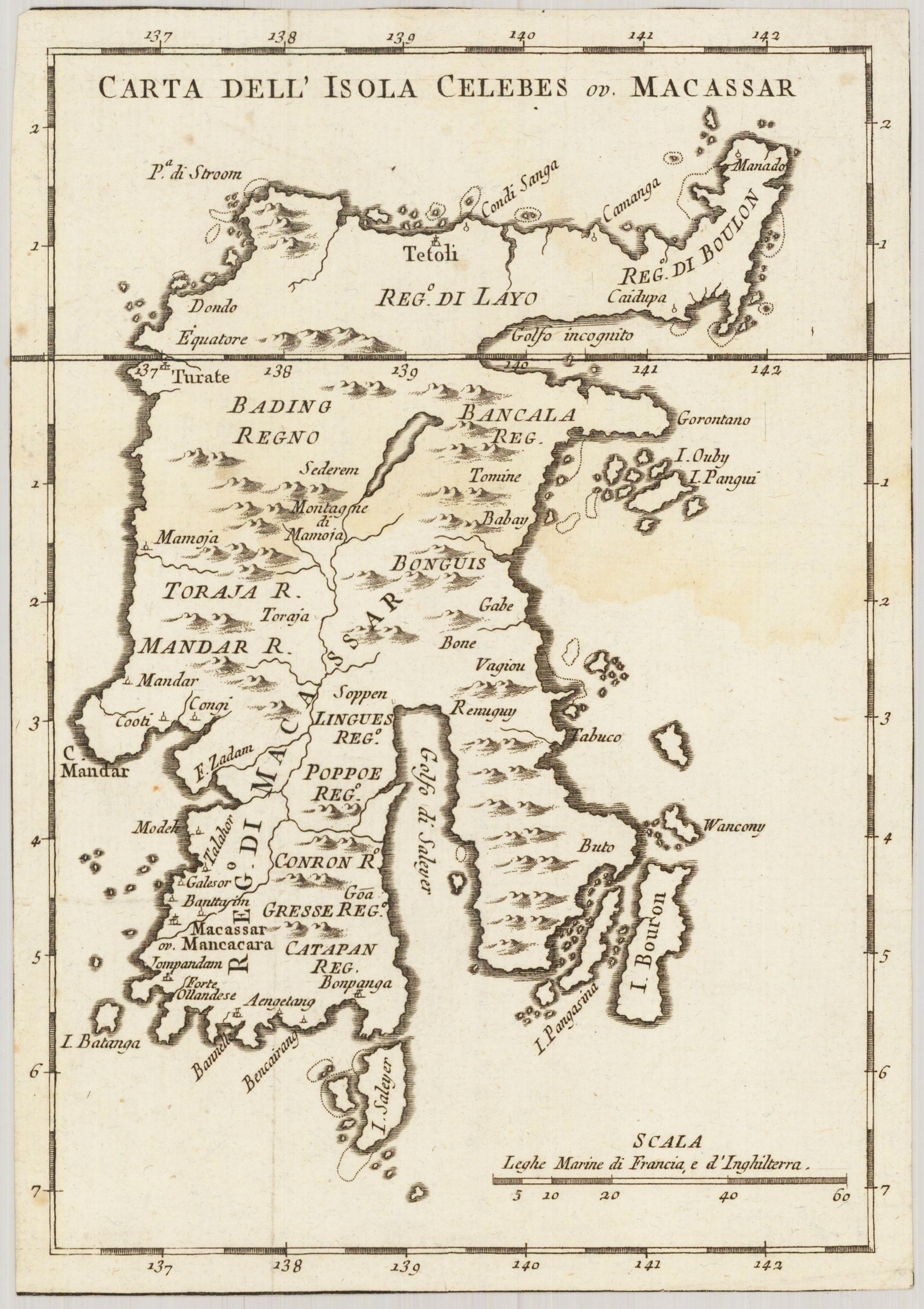
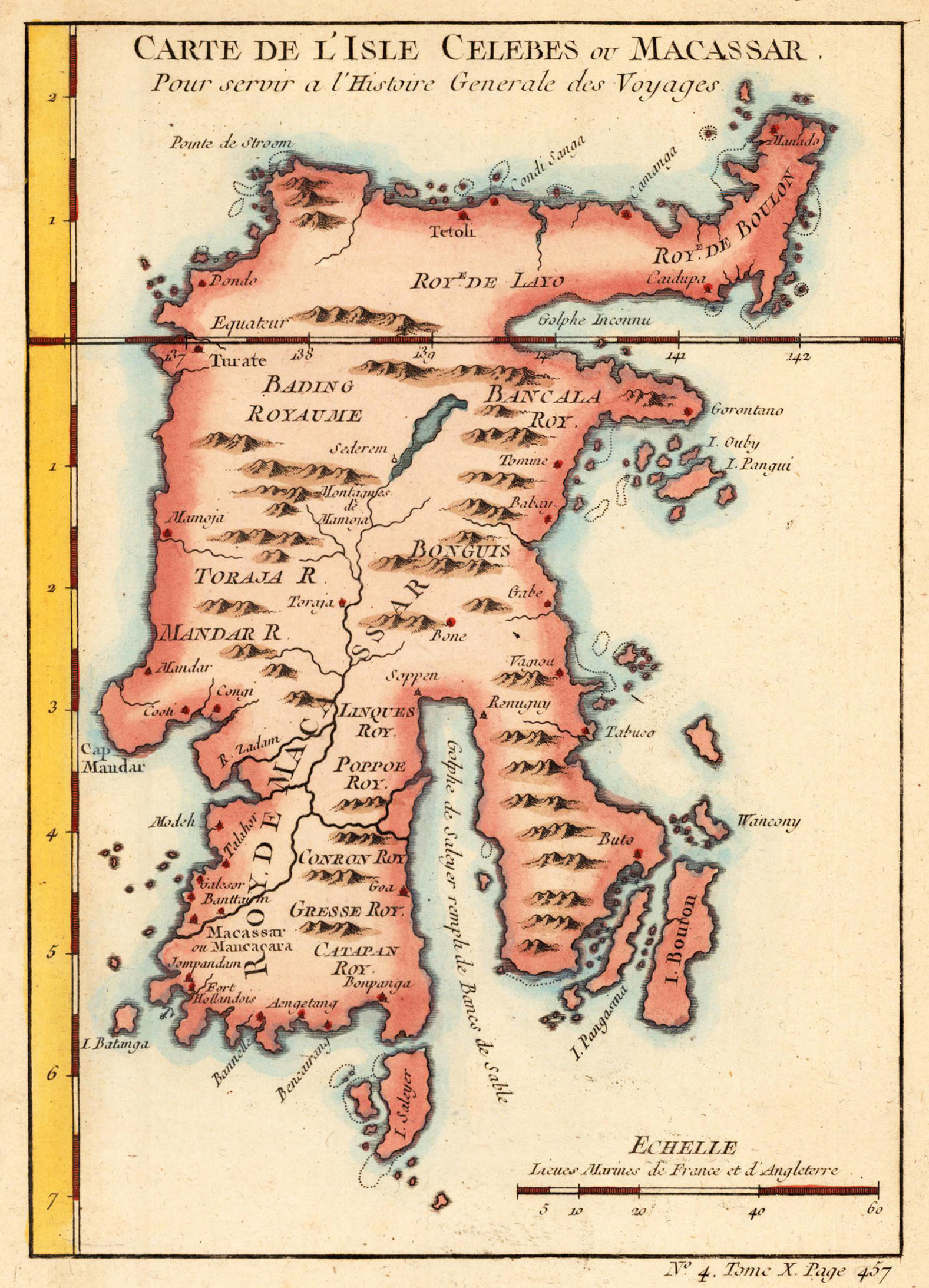
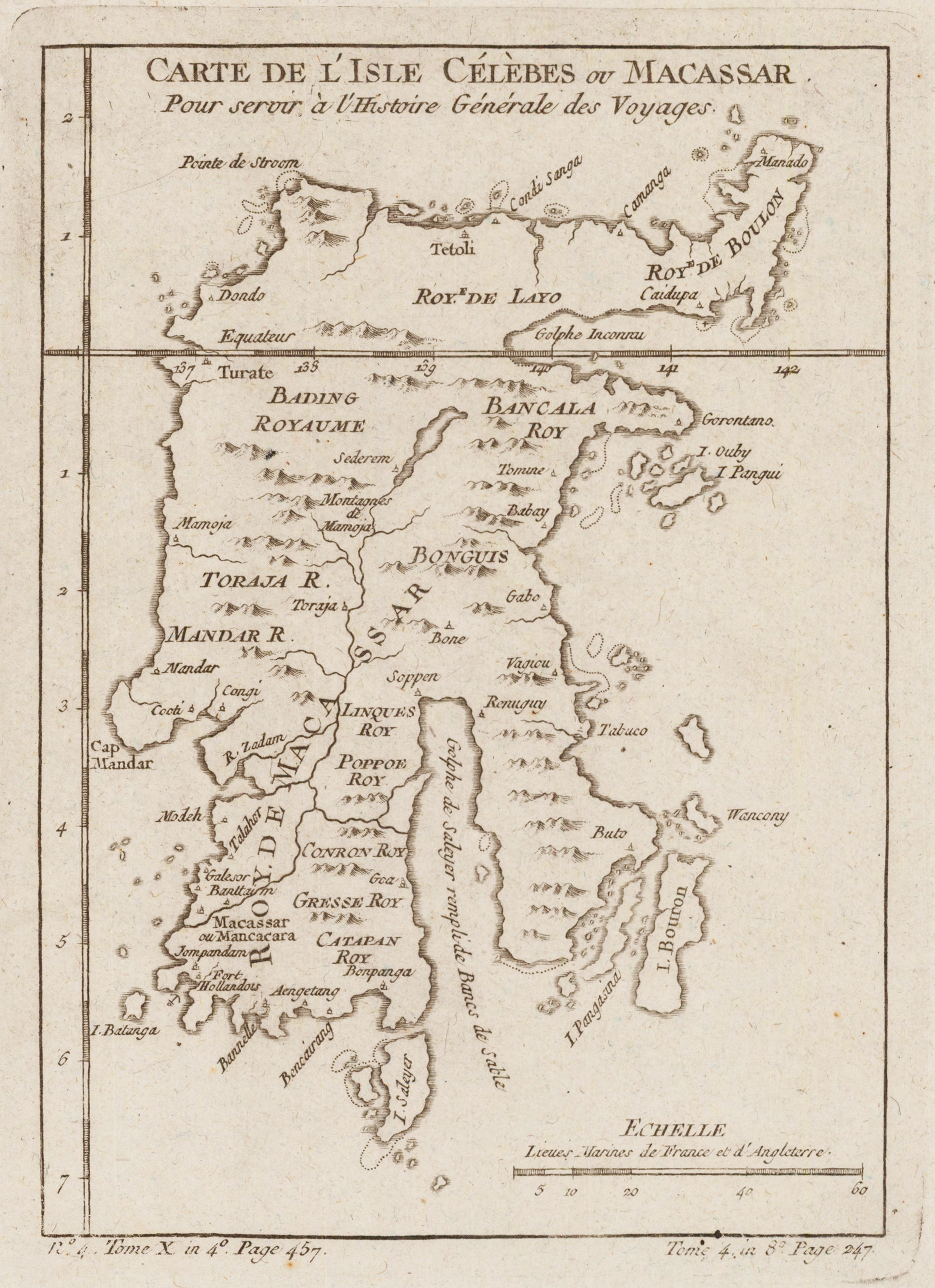
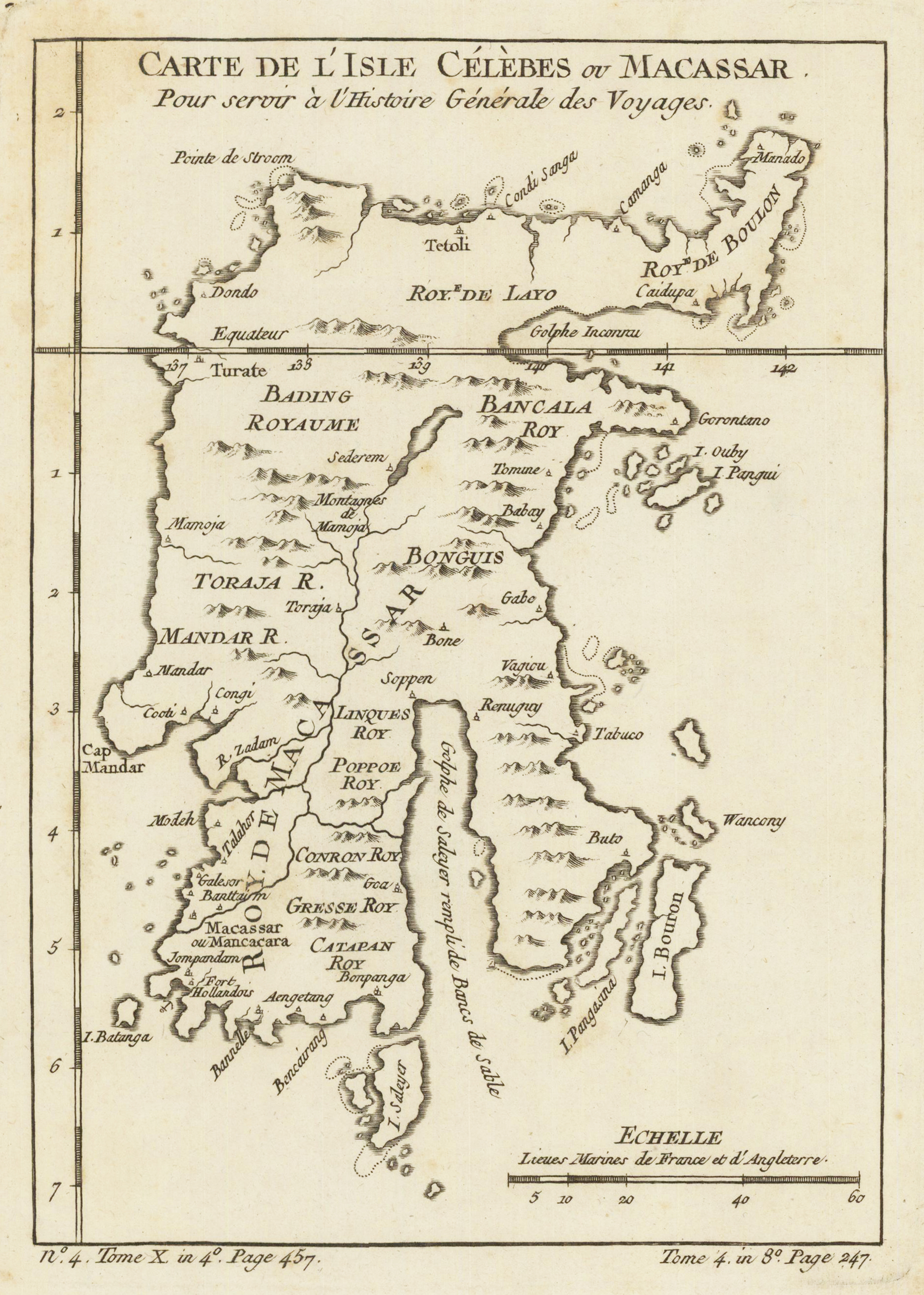
Copper engraving. Published in an atlas volume of Nicolaus Bellin's ,Histoire generale des Voyages' around 1760 in Paris. Italian edition. A small decorative map of the Island of Celebes with many engraved place names, rivers and mountains and small islands along the coast. The individual parts of Celebes are as well named and partly different colored. A detailled and interesting map engraved by Bellin after earlier voyages. Jacques Nicolas Bellin (1703 – 21 March 1772) was a French hydrographer, geographer, and member of the French intellectual group called the philosophes. Bellin was born in Paris. He was hydrographer of France's hydrographic office, member of the Académie de Marine and of the Royal Society of London. Over a 50-year career, he produced a large number of maps of particular interest to the Ministère de la Marine. His maps of Canada and of French territories in North America (New France, Acadia, Louisiana) are particularly valuable. He died at Versailles.
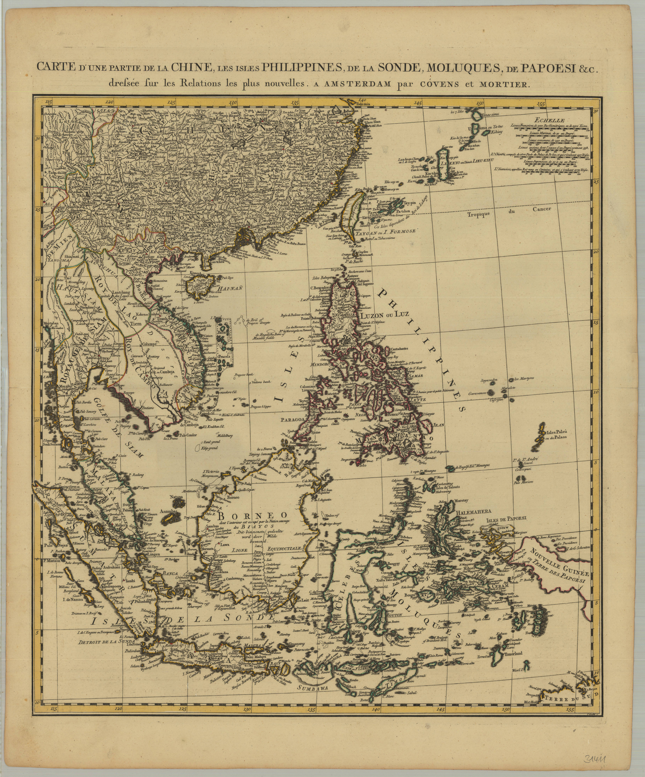
Original copper engraving, hand colored in outline and wash when published. This is a large map of China and Southeast Asia, centered on the Philippines. Shown the area around Shanghai, China in the North to Sumatra, Java, Timor and the north tip of Australia, the Straits of Malacca and Singapore.
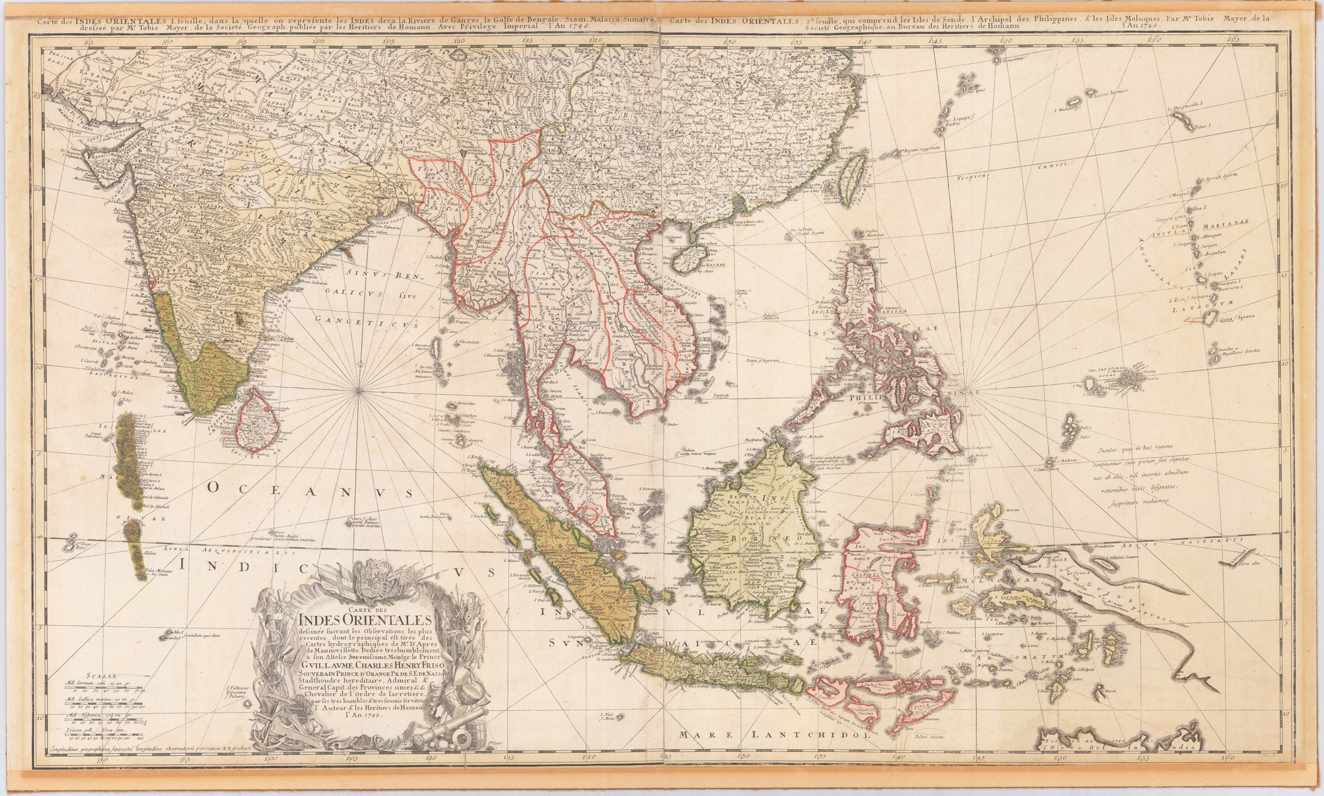
Original engraved map, printed from two plates and handcolored in wash and outline when published. A highly detailed and large map of South East Asia. Published by Homann´s Heirs and engraved after a drawing by Tobias Meyer in 1748. The left half of the map shows India with Delhi all the way to Burma, Vietnam, Laos, Malaysia, Sumatra and Singapore as well as the Maldives with the Indian Ocean. The right half of the map depicts the Philippines, Java, Borneo, Papua New Guinea and Eastern China. The title cartouche can be found on the left bottom including a dedication to the former Prince of Orange - Nassau, Wilhelm IV. Many engraved place names, mountains, rivers, lakes, political border are engraved on the map. The map was printed from two plates, these two sheets were joined together and then pasted down on cardboard. The upper margin cut close to the printed title at the top of the map, the bottom cut close to the engraved printed border line.
Copper engraving, hand colored. A small decorative map of the Island of Celebes with many engraved place names, rivers and mountains and small islands along the coast. The individual parts of Celebes are as well named and partly different colored. A detailled and interesting map engraved by Bellin after earlier voyages. Published in an atlas volume of Nicolaus Bellin's ,Histoire generale des Voyages' around 1760 in Paris.
Copper engraving, uncolored as published. Decorative map of the Island of Celebes with many engraved place names, rivers and mountains and small islands along the coast. The individual parts of Celebes are as well named and partly different colored. A detailled and interesting map engraved by Bellin after earlier voyages. Published in an atlas volume of Nicolaus Bellin's ,Histoire generale des Voyages' around 1760 in Paris.
Copper engraving. Published in an atlas volume of Nicolaus Bellin's ,Histoire generale des Voyages' around 1760 in Paris. French edition. A small decorative map of the Island of Celebes with many engraved place names, rivers and mountains and small islands along the coast. The individual parts of Celebes are as well named and partly different colored. A detailled and interesting map engraved by Bellin after earlier voyages. Jacques Nicolas Bellin (1703 – 21 March 1772) was a French hydrographer, geographer, and member of the French intellectual group called the philosophes. Bellin was born in Paris. He was hydrographer of France's hydrographic office, member of the Académie de Marine and of the Royal Society of London. Over a 50-year career, he produced a large number of maps of particular interest to the Ministère de la Marine. His maps of Canada and of French territories in North America (New France, Acadia, Louisiana) are particularly valuable. He died at Versailles.
Copper engraving, hand colored in outline and wash. Published in Prevost d'Exile's Histoire generale des voyages, the present map was reissued in a work by J.P.J. Du Bois, and published by the Amsterdam bookseller and publisher E. van Harrevelt and D.J. Changuion between 1772 and 1780.
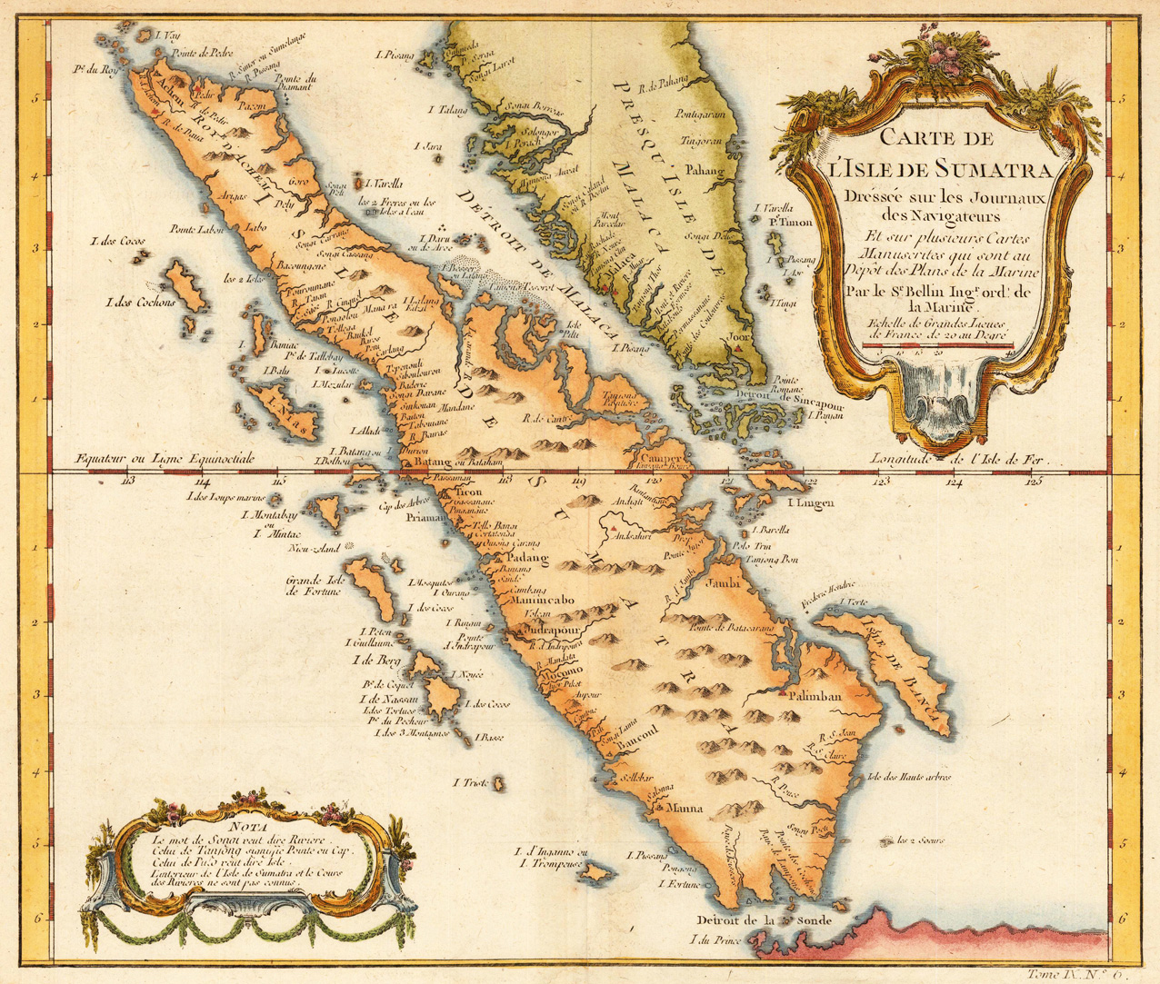
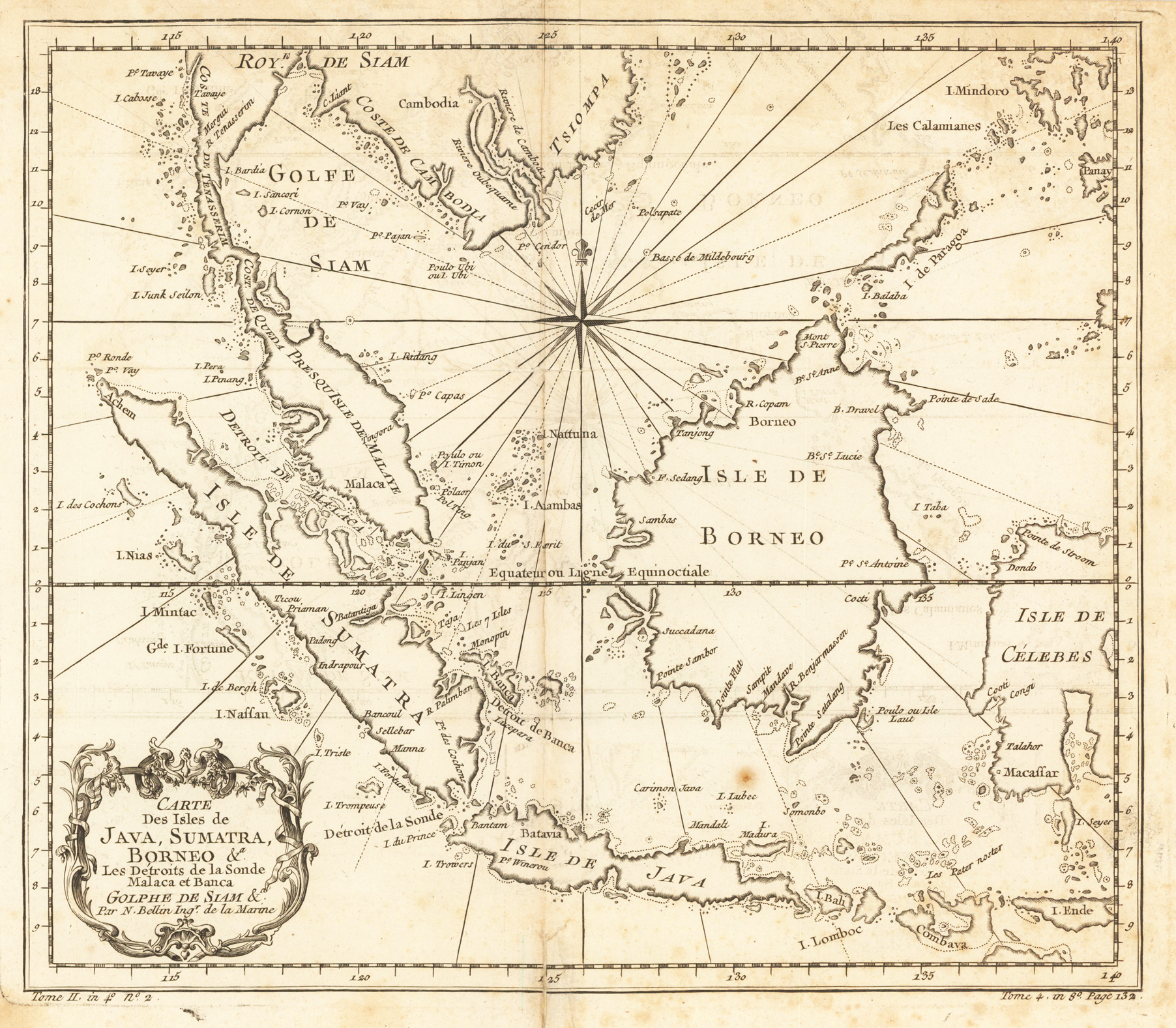
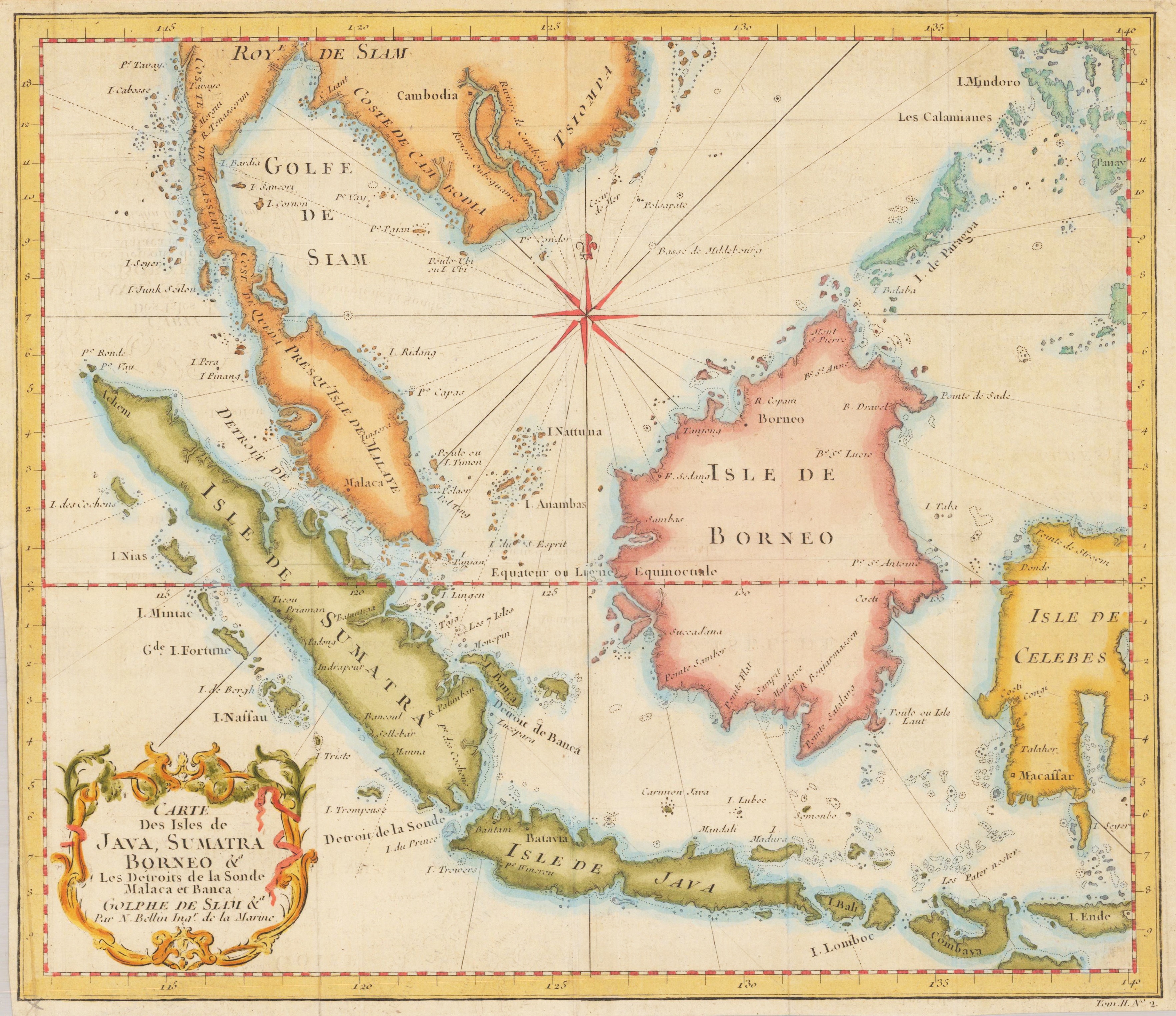
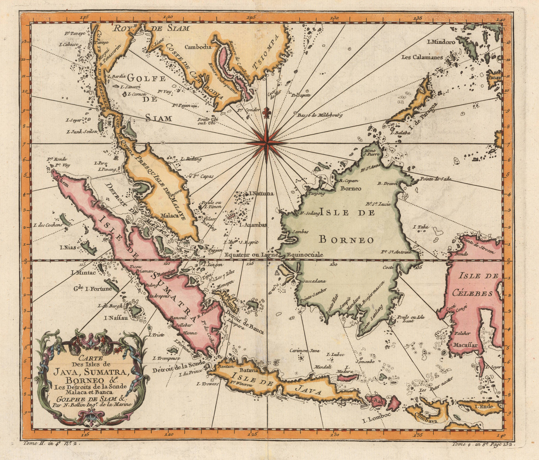
Original antique copper engraving, hand colored in outline and wash. A detailled map focussing on Sumatra, the straits of Malacca, Java, Southern Thailand and extending towards Borneo and the Celebes islands in Indonesia.
Original antique copper engraving, hand colored in outline and wash. A detailled map focussing on Sumatra, the straits of Malacca, Java, Southern Thailand and extending towards Borneo and the Celebes islands in Indonesia. Published in an atlas by the French cartographer Jacques-Nicolas Bellin (1703-1772) around 1757 in Paris.
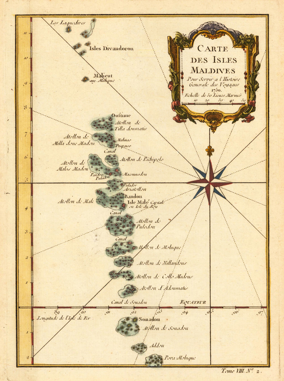
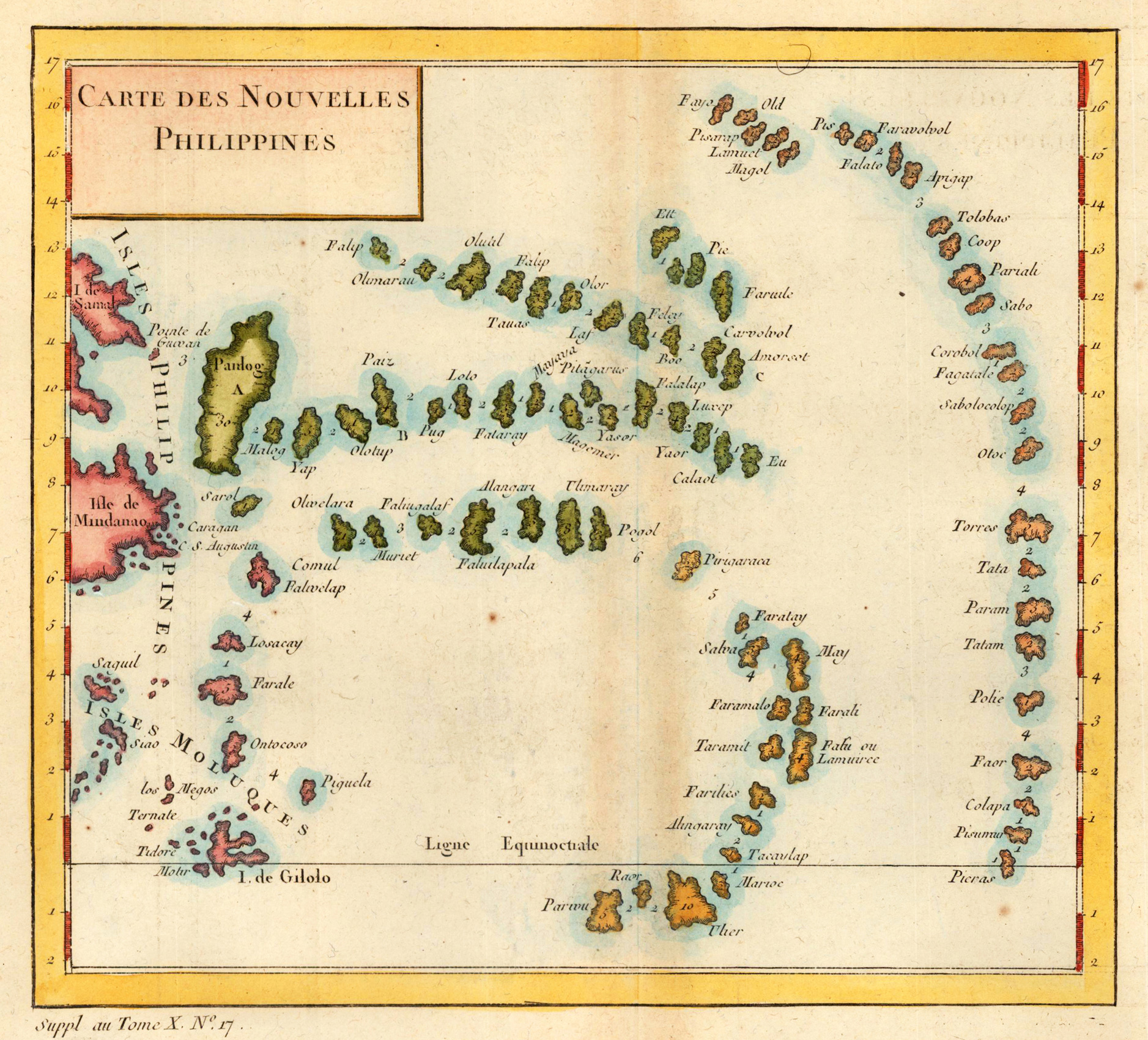
Original antique copper engraving, hand colored. This map shows the islands of the Moluccas. Jacques Nicolas Bellin (1703 – 21 March 1772) was a French hydrographer, geographer, and member of the French intellectual group called the philosophes. Bellin was born in Paris. He was hydrographer of France's hydrographic office, member of the Académie de Marine and of the Royal Society of London. Over a 50-year career, he produced a large number of maps of particular interest to the Ministère de la Marine. His maps of Canada and of French territories in North America (New France, Acadia, Louisiana) are particularly valuable. He died at Versailles. (Wikipedia)