
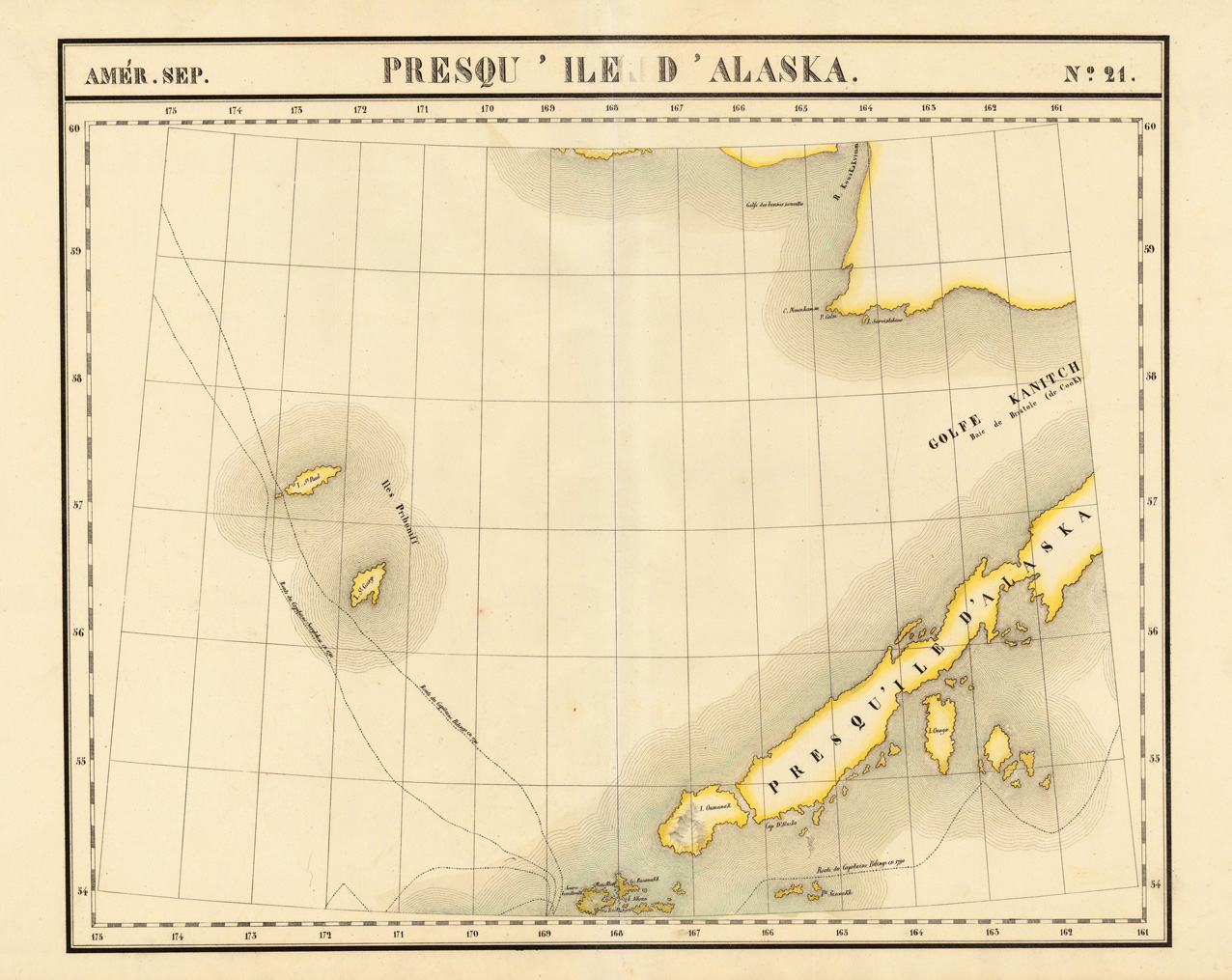
Amér. Sep. Presqu ' Ile d'Alaska. No. 21.
Product information: Amér. Sep. Presqu ' Ile d'Alaska. No. 21.
Lithograph, original hand colored in outline. A very large and highly detailed antique map, which shows the Alaskan Archipelago in many details. The map shows Gulf Kanitch, Island Ounga, Island Oumanak, Island St. Paul and the Island St. George. Further routes of the late eighteenth century explorers Captain Bilings (1790-91) and Captain Sarytchew (1791) are shown on the map. The map was published in Phillippe Marie Vandermaelen's atlas of North America.
Properties
| Category: | Alaska |
|---|---|
| Issue date: | 1825 |
| Published place: | Brussels |
| Technique: | Lithograph / Original color. |
| Type: | Antique Map, map |