Steel engraving, hand colored in outline and wash when published. Detailed map of the state of Pennsylvania. Inside the map are many place names, rivers, streets, etc. As well distances are shown on the map. In the lower right corner we find the explanation for this map. The map is also equipped on the top with a profile of the Pennsylvania canal and the Columbia railroad. A table with steam ship routes ( Pittsburg - Louisville, Philadelphia - New York via Trenton, Philadelphia - New York via Bordentown, Philadelphia - Baltimore via New Castle, Philadelphia - Baltimore via Canal) is in the lower left corner of the map. A detailed engraved map by the famous German map maker Meyer Joseph. This historic old map was published in Joseph Meyer' s Zeitungsatlas in Hildburghausen, Amsterdam, Paris and Philadelphia. The map is based on Tanner's work in the early 1840s.
Steel engraving, original color in outline when published. Detailed map of the state of Pennsylvania. Inside the map are many place names, rivers, streets, etc. As well distances are shown on the map. In the lower right corner we find the explanation for this map. The map is also equipped on the top with a profile of the Pennsylvania canal and the Columbia railroad. A table with steam ship routes ( Pittsburg - Louisville, Philadelphia - New York via Trenton, Philadelphia - New York via Bordentown, Philadelphia - Baltimore via New Castle, Philadelphia - Baltimore via Canal) is in the lower left corner of the map. A detailed engraved map by the famous German map maker Meyer Joseph. The map is based on Tanner's work in the early 1840s.
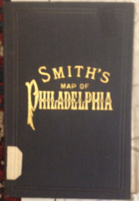
Original hand colored lithograph, folded and published as pocket map of the city of Philadelphia. A large and detailed city plan of the city of Philadelphia after the latest surveys by J. L. Smith. Printed and published in Philadelphia 1915.
Fine engraved map of Pennsylvania, showing various rivers, trails, streets, villages and small place names. Pennsylvania is divided up into its counties in original wash hand color. The map is surrounded by descriptive text on Pennsylvania, providing information on the climate, the rivers, cities and its history. French edition of the 1822 in Philadelphia published map by Carey & Lea. The map was engraved by B. de Beaupre.
Steel engraving, hand colored in outline and wash. An detailed map and street plan of Philadelphia. Inside the plan are many place names, rivers, etc. At the right side (in the area of the Delaware River) are two vignettes engraved, the United States Bank and the Exchange. At the lower left corner is a key of the city's main buildings.
Steel engraving, decorative hand colored in outline and wash. Decorative and detailed engraved city plan of Philadelphia, at the bottom with two vignette views of buildings in Philadelphia.
Lithograph, original hand colored color in outline when published. This antique map drawn by Ernest Sandoz shows in its centre the Alleghany Mountains with Pennsylvania, the neighboring Ohio and is extending south towards North Carolina. The map has two inset maps which are showing the ,White Mountains' and the ,Black Mountains', both maps are based on Professor Arnold Guyot. The map is equipped with many small place names, rivers, maountains, etc.
Original color lithograph, sketched and drawn on stone by Atwater. Large folio bird's eye view of the city of Philadelphia drawn around 1875. Lyman Atwater worked as an artist and lithographer for this giant bird's eye view. It shows detailed the spread out city of the city of Philadelphia. The fine view depicts detailed the city of Philadelphia with the Delaware river, along the river industrial areas and some steam boats and other ships on the Delaware river. The sketch of the individual houses, churches, parks and larger buildings is highly detailed, in the very background you recognize the expansion of the settlement towards the open land and green fields. Below the lithograph we do find an extensive listing of important buildings, parks, churches, hotels, companies, etc. A highly decorative panoramic city view of the city of Philadelphia in Pennsylvania.