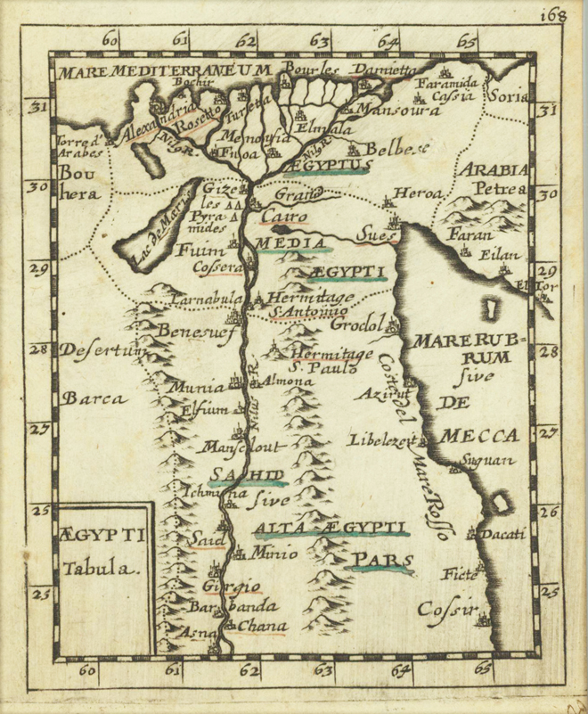
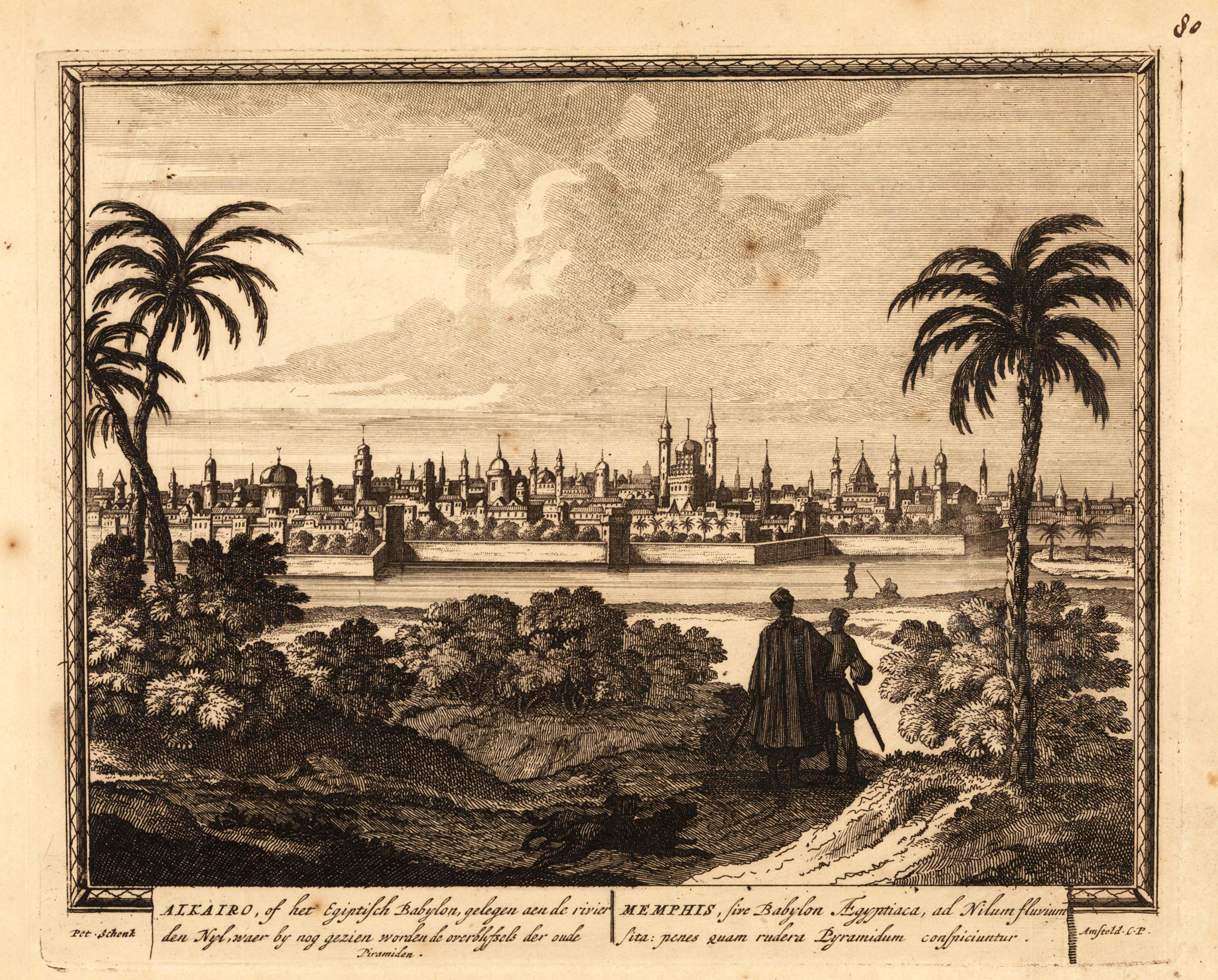
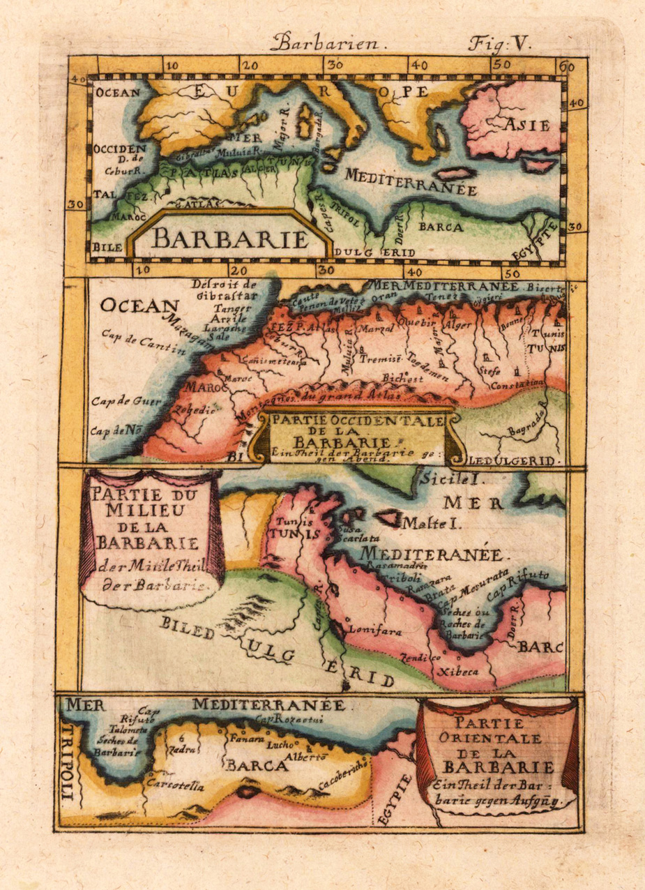
Original copper engraving, uncolored. Published in Pierre Du Val's atlas ,Anderer Theil der allgemeinen Weltbeschreibung von Europa' (German edition Nürnberg at Johann Hoffmann & Christoph Gerhard.
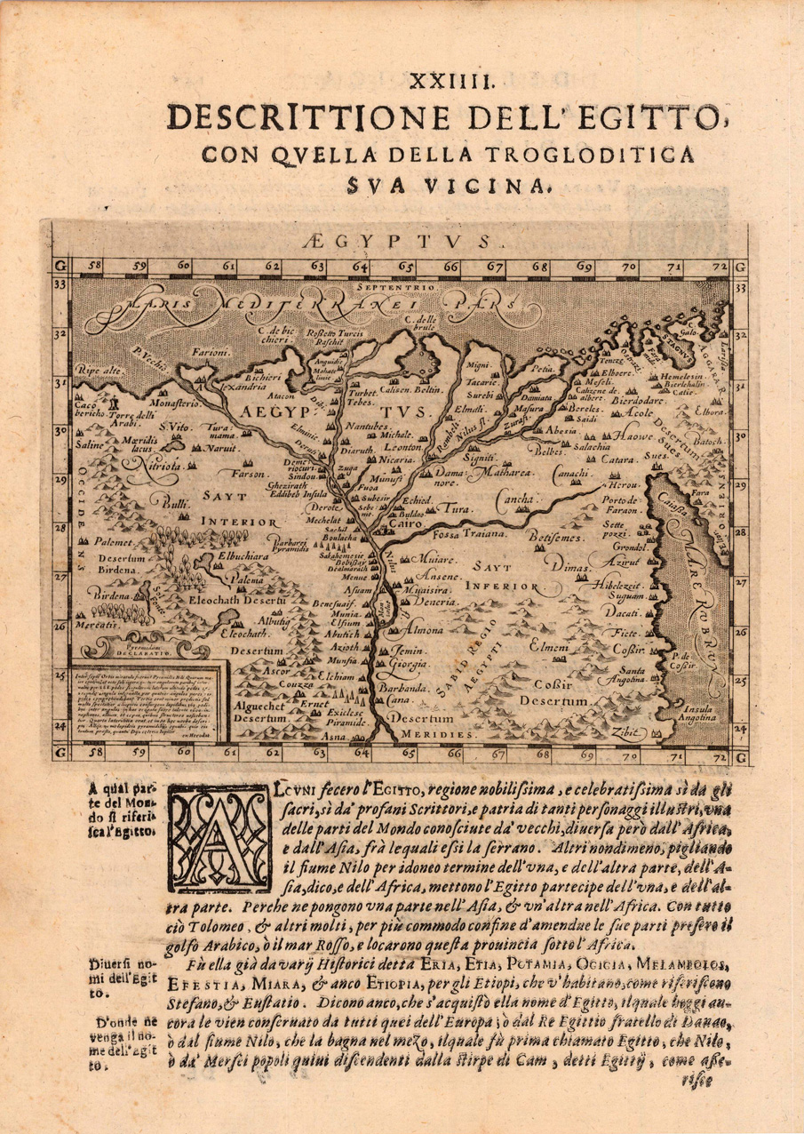
Fine copper-engraved map, printed into the full text page, published in 'Geografia ... Universale de la Terra', which was translated by Cernoti and published 1621 in Padua.
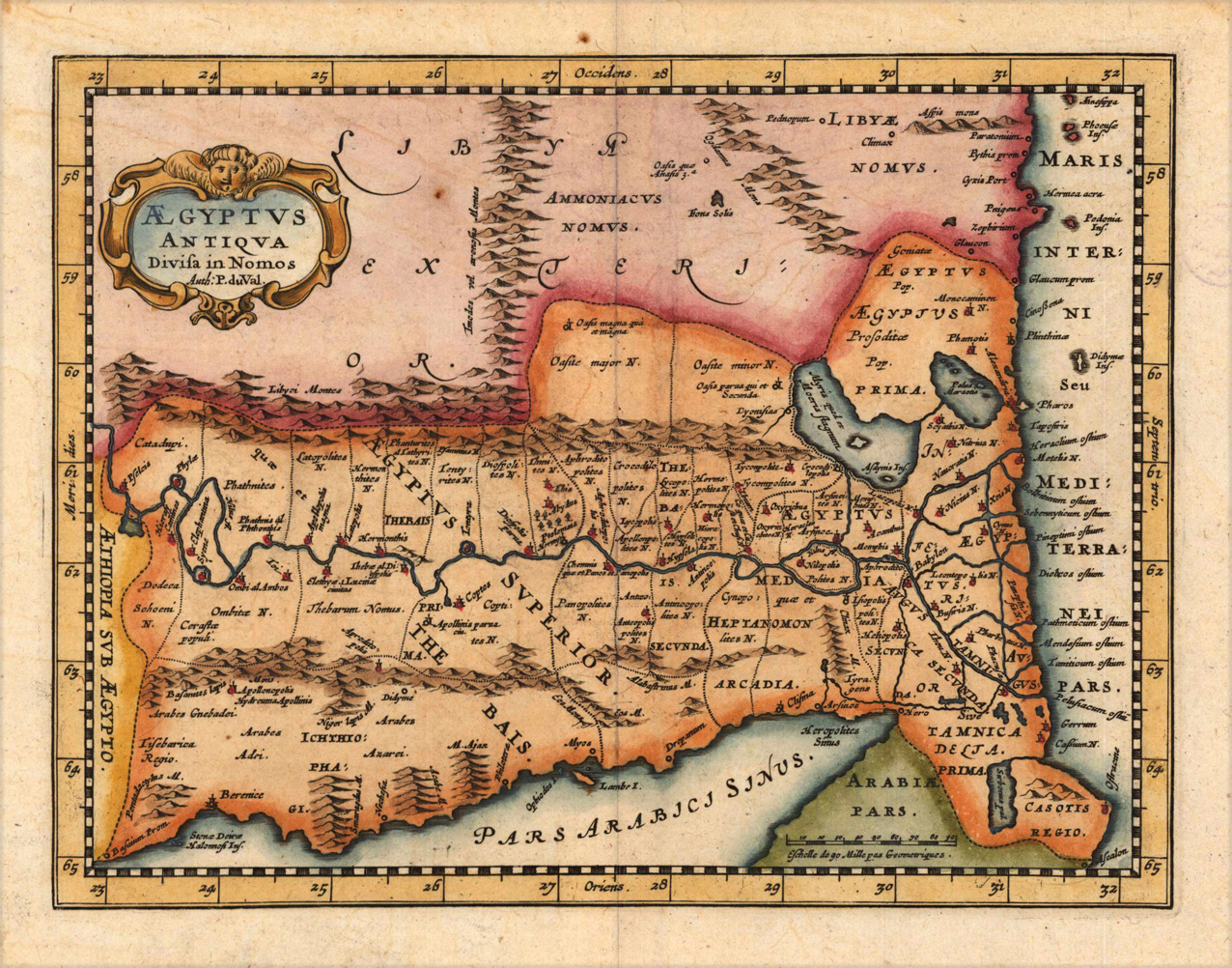
Copper engraving, hand colored in outline and wash. Decorative map of ancient Egypt by Pierre du Val published in an historical atlas by Phillip Cluverius. The map is oriented with the north to the right. With many engraved historical place names.
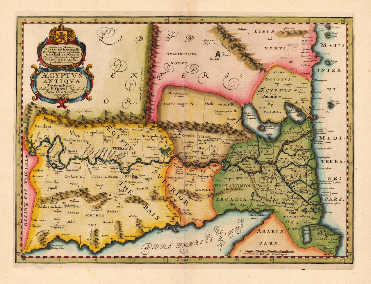
Original antique copper engraving, decorative hand colored in outline and wash. Published in a Dutch text edition of J. Jansson's historical Atlas. The map is ornated with the title cartouche and a "dedication" in the upper left corner to Monsigneur Doviat Sgr. de Montreuille. Villages and towns are shown as miniature views. The map is orientated with the North to the East. This map is based on the cartographic sources of the French cartographer Pierre Duval. Johannes Janssonius (1588, Arnhem – buried July 11, 1664, Amsterdam) (born Jan Janszoon, in English also Jan Jansson) was a Dutch cartographer and publisher who lived and worked in Amsterdam in the 17th century. Janssonius was born in Arnhem, the son of Jan Janszoon the Elder,[1] a publisher and bookseller. In 1612 he married Elisabeth de Hondt, the daughter of Jodocus Hondius. He produced his first maps in 1616 of France and Italy. In 1623 Janssonius owned a bookstore in Frankfurt am Main, later also in Danzig, Stockholm, Copenhagen, Berlin, Königsberg, Geneva and Lyon. Elisabeth Hondius died in 1627 and he remarried Elisabeth Carlier in 1629. In the 1630s he formed a partnership with his brother in law Henricus Hondius, and together they published atlases as Mercator/Hondius/Janssonius. Under the leadership of Janssonius the Hondius Atlas was steadily enlarged. Renamed Atlas Novus, it had three volumes in 1638, one fully dedicated to Italy. In 1646, a fourth volume came out with "English County Maps", a year after a similar issue by Joan Blaeu. Janssonius' maps are similar to those of Blaeu, and he is often accused of copying from his rival, but many of his maps predate those of Blaeu and/or covered different regions. By 1660, at which point the atlas bore the appropriate name "Atlas Major", there were 11 volumes, containing the work of about a hundred credited authors and engravers. It included a description of "most of the cities of the world" (Townatlas), of the waterworld (Atlas Maritimus in 33 maps), and of the Ancient World (60 maps). The eleventh volume was the Atlas of the Heavens by Andreas Cellarius. Editions were printed in Dutch, Latin, French, and a few times in German. After Janssonius's death, the publishing company was continued by his son-in law, Johannes van Waesbergen. The London bookseller Moses Pitt attempted publication of the Atlas Major in English, but ran out of resources after the fourth volume in 1683. (Wikipedia)
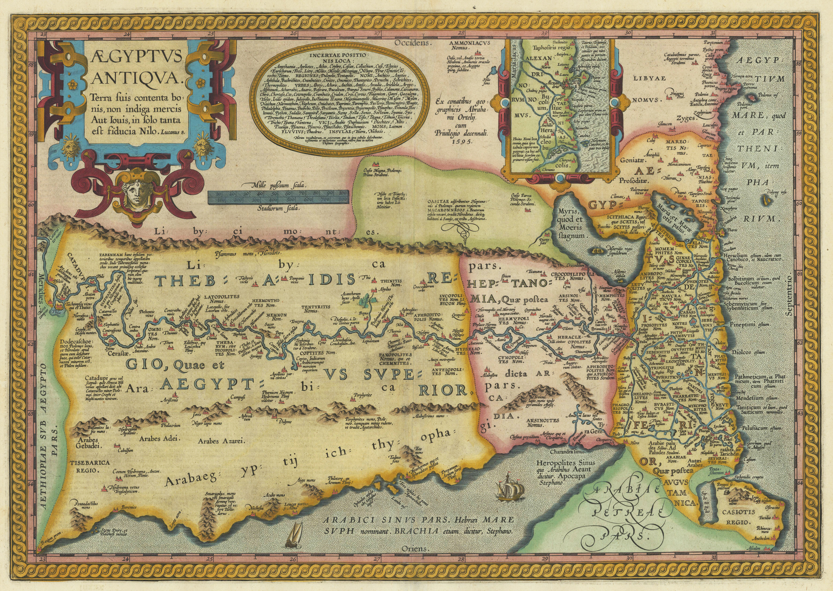
Original copper engraving, published 1612 in the famous historical Atlas "Parergon" (Latin text-edition) by Abraham Ortelius. Finely later hand-colored in wash and outline. The map shows three cartouches, in the upper left corner the decorative title cartouche, left to title oval text cartouche, on the upper right side inset with map of Alexandria and surroundings. Villages and towns are shown as miniature views. Moreover the map is ornated with ships.
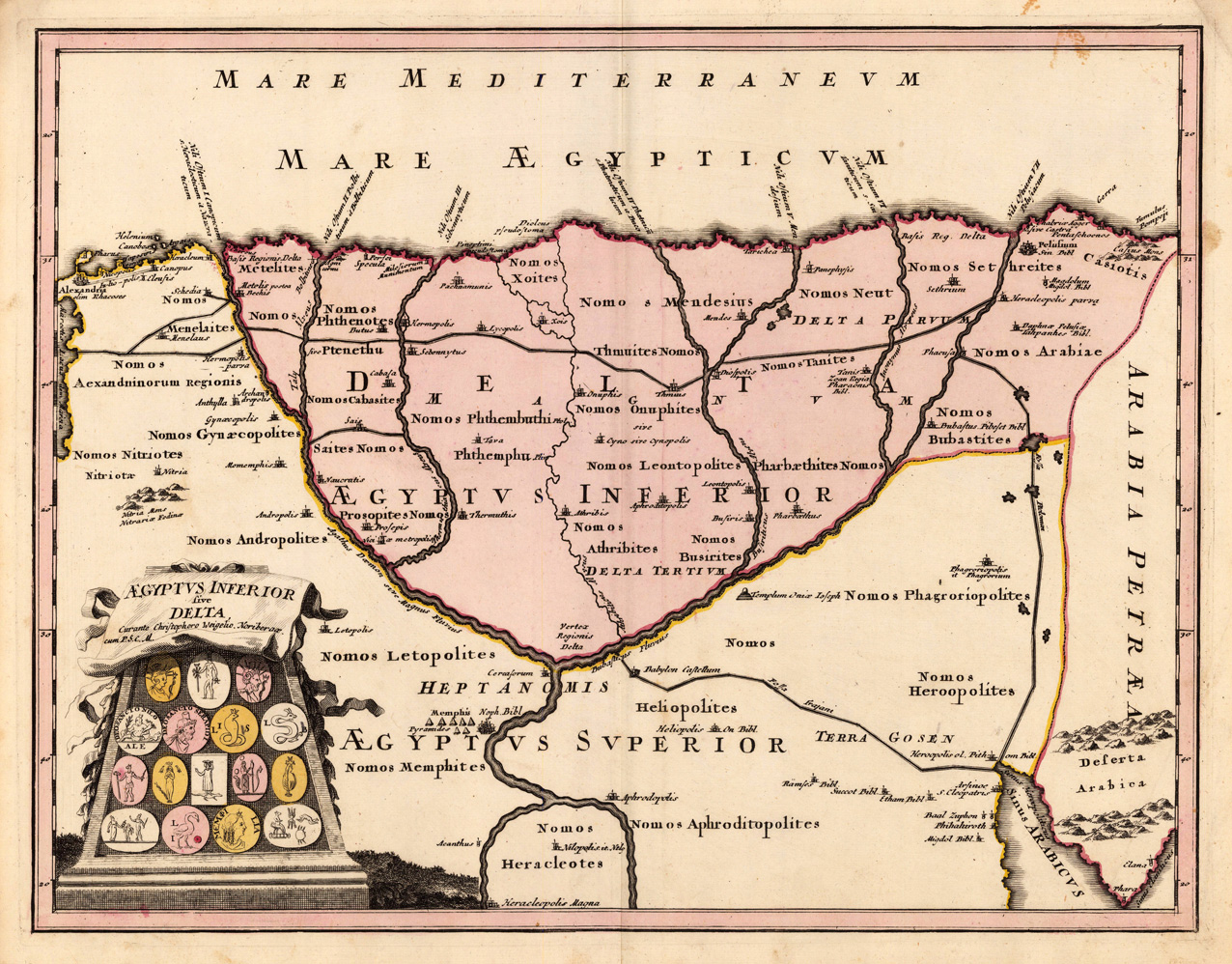
Copper engraving, handcolored in outline and body colour, when published. The map shows the upper Egypt with the Nile Delta. Many antique place names are found on the map, as well some mountains, lakes and ways. In the lower left corner a decorative title cartouche ornated with antique coins with symbols to the 'antique Egypt'. The cartographer Christoph Weigel worked around 1719 in Nürnberg and his maps are showing the typical style of this period in mapmaking in Southern German. He worked very close as with Johann B. Homann in Nürnberg. All his maps were handcolored in outline and decorative body color immediatelly in his printing house, after they were printed.
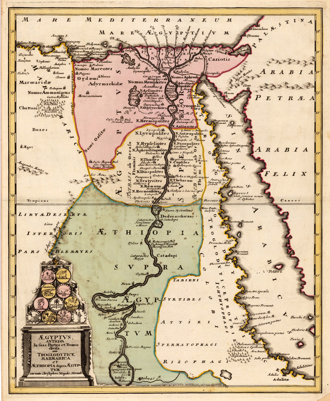
Original antique copper engraving, hand colored in outline and wash when published. The map shows the 'antique Egypt' and the neighbouring Red Sea, as well detailled the river Nile with the Niledelta. Many antique place names are found on the map, as well some mountains, lakes and oasis. In the lower left corner a decorative title cartouche ornated with antique coins with symbols to the 'antique Egypt'. Johann Christoph Weigel, known as Christoph Weigel the Elder (9 November 1654 – 5 February 1725), was a German engraver, art dealer and publisher. He was born at Redwitz, Free imperial city of Eger in Egerland, and died in Nuremberg, aged 70. The cartographer Weigel worked around 1719 in Nürnberg and his maps are showing the typical style of this period in map making in Southern German. He worked very close as with Johann B. Homann in Nürnberg. All his maps were hand colored in outline and decorative body color immediatelly in his printing house, after they were printed.
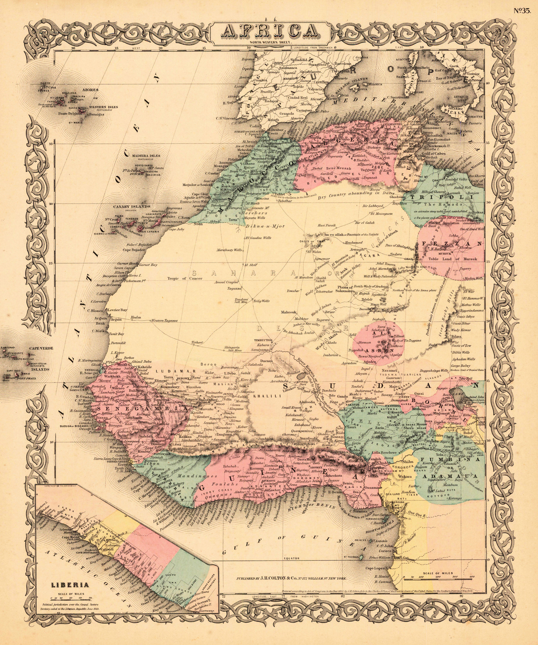
Steel engraving, uncolored as published. Decorative map of Africa. With many engraved place names, river sand mountains. At the left unde side is a little map witch shows the Atlantic Ocean by Africa. A small and decorative map of Africa for the beginning collector.
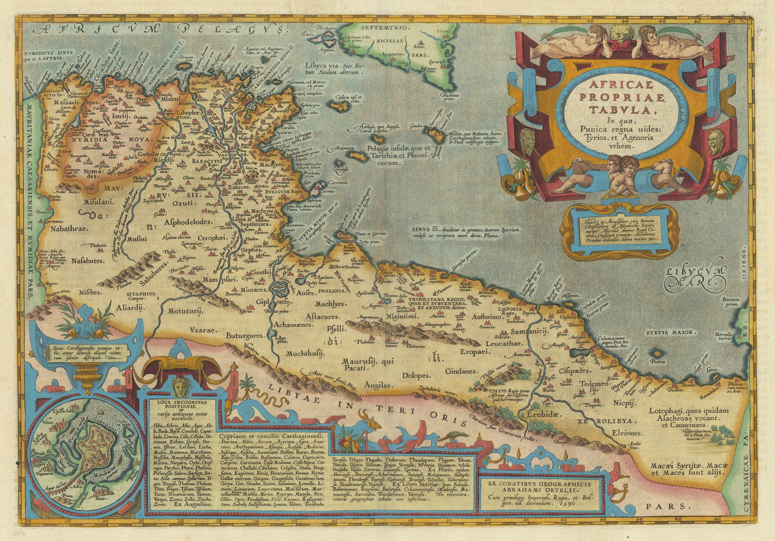
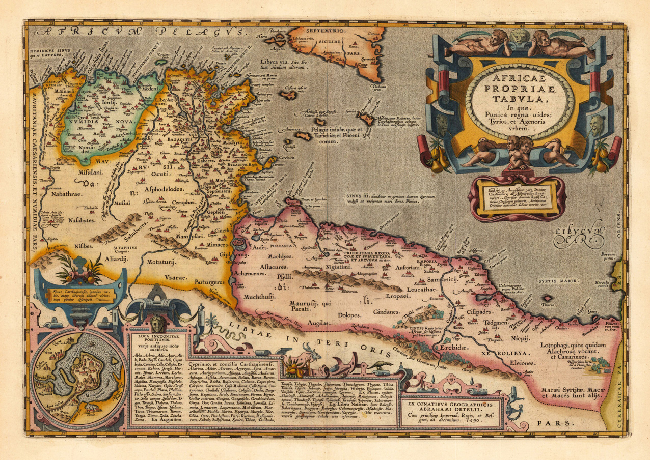
Original copper engraving, published 1612 in the famous historical Atlas "Parergon" (Latin text-edition) by Abraham Ortelius. Finely later hand-colored in wash and outline. Very decorative map of North Africa (Libya and Tunisia) with Malta and southern Sicily.This map is ornated with a decorative title cartouche in the upper right corner and an inset with text cartouches in the lower left corner. Villages and towns are shown as miniature views. Ortelius was born on 14 April 1527 in the city of Antwerp, which was then in the Habsburg Netherlands (modern-day Belgium). The Orthellius family were originally from Augsburg, a Free imperial city of the Holy Roman Empire. In 1535, the family had fallen under suspicion of Protestantism. Following the death of Ortelius's father, his uncle Jacobus van Meteren returned from religious exile in England to take care of Ortelius. Abraham remained close to his cousin Emanuel van Meteren, who would later move to London. In 1575 he was appointed geographer to the king of Spain, Philip II, on the recommendation of Arias Montanus, who vouched for his orthodoxy. He travelled extensively in Europe and is specifically known to have traveled throughout the Seventeen Provinces; in southern, western, northern, and eastern Germany (e.g., 1560, 1575–1576); France (1559–1560); England and Ireland (1576); and Italy (1578, and perhaps twice or thrice between 1550 and 1558). Beginning as a map-engraver, in 1547 he entered the Antwerp Guild of Saint Luke as an illuminator of maps. He supplemented his income trading in books, prints, and maps, and his journeys included yearly visits to the Frankfurt book and print fair, where he met Gerardus Mercator in 1554. In 1560, however, when travelling with Mercator to Trier, Lorraine, and Poitiers, he seems to have been attracted, largely by Mercator's influence, towards the career of a scientific geographer. (Wikipedia)
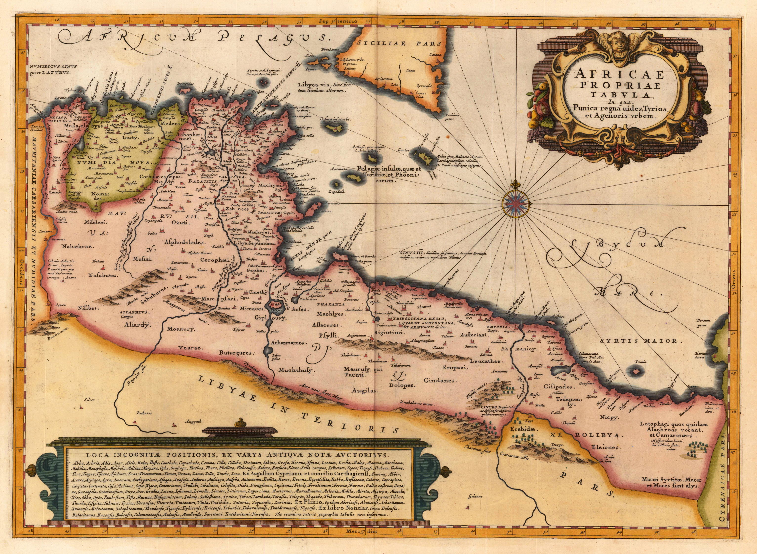
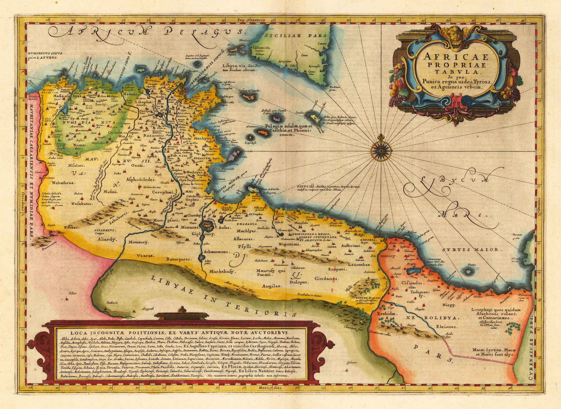
Copper engraving, hand colored in wash and outline, published in a Dutch text edition of J. Jansson's historical Atlas, verso blank. Decorative map showing the North African coast (Tunesia), Malta and its neighbouring islands and a parts of Sicily. Ornated in the upper right corner with a large decorative title cartouche and on the bottom an extensive cartouche with descriptive text about old place names in Latin. Johannes Janssonius (1588, Arnhem – buried July 11, 1664, Amsterdam) (born Jan Janszoon, in English also Jan Jansson) was a Dutch cartographer and publisher who lived and worked in Amsterdam in the 17th century. Janssonius was born in Arnhem, the son of Jan Janszoon the Elder,[1] a publisher and bookseller. In 1612 he married Elisabeth de Hondt, the daughter of Jodocus Hondius. He produced his first maps in 1616 of France and Italy. In 1623 Janssonius owned a bookstore in Frankfurt am Main, later also in Danzig, Stockholm, Copenhagen, Berlin, Königsberg, Geneva and Lyon. Elisabeth Hondius died in 1627 and he remarried Elisabeth Carlier in 1629. In the 1630s he formed a partnership with his brother in law Henricus Hondius, and together they published atlases as Mercator/Hondius/Janssonius. Under the leadership of Janssonius the Hondius Atlas was steadily enlarged. Renamed Atlas Novus, it had three volumes in 1638, one fully dedicated to Italy. In 1646, a fourth volume came out with "English County Maps", a year after a similar issue by Joan Blaeu. Janssonius' maps are similar to those of Blaeu, and he is often accused of copying from his rival, but many of his maps predate those of Blaeu and/or covered different regions. By 1660, at which point the atlas bore the appropriate name "Atlas Major", there were 11 volumes, containing the work of about a hundred credited authors and engravers. It included a description of "most of the cities of the world" (Townatlas), of the waterworld (Atlas Maritimus in 33 maps), and of the Ancient World (60 maps). The eleventh volume was the Atlas of the Heavens by Andreas Cellarius. Editions were printed in Dutch, Latin, French, and a few times in German. After Janssonius's death, the publishing company was continued by his son-in law, Johannes van Waesbergen. The London bookseller Moses Pitt attempted publication of the Atlas Major in English, but ran out of resources after the fourth volume in 1683. (Wikipedia)
Copper-engraving, decorative handcolored in outline and wash. Published in a Dutch text edition of J. Jansson's historical Atlas. Decorative map showing the North African coast (Tunesia), Malta and its neighbouring islands and a part of Sicily. Ornated in the upper right coprner with a large decorative title cartouche and on the bottom an extensive text cartouche.
Original copper engraving, published 1624 in the famous historical Atlas "Parergon" (Latin text-edition) by Abraham Ortelius. Finely later hand-colored in wash and outline. A highly decorative antique map of North Africa showing parts of Algeria, Tunesia and Lybia including islands along the North African coast and the southern tip of Sicily. This fine historical map is further equipped with an inset map of the historical place Carthago with the neighboring Tunis. The map is ornated with a highly decorative Renaissance title cartouche in the upper right corner and an inset with text cartouches in the lower bottom of the map with extensive Latin historical descriptions and listings of place names. Villages and towns are shown as miniature views, also mountains and rivers are engraved on the map.
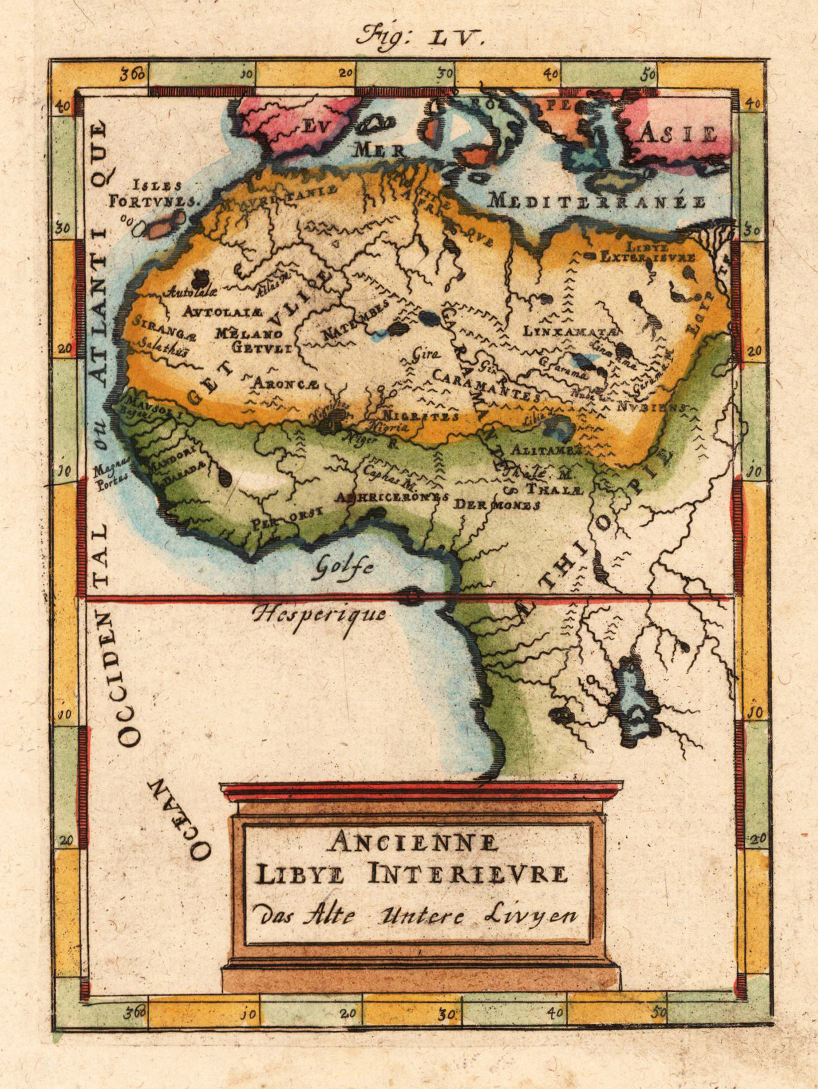
Copper engraving, hand colored in wash and outline, published in Allain Manesson Mallet's description of the world. A beautiful map which shows Northwest Africa with 'Ancient Lybia'. The map is equipped with many place names, rivers and mountains.
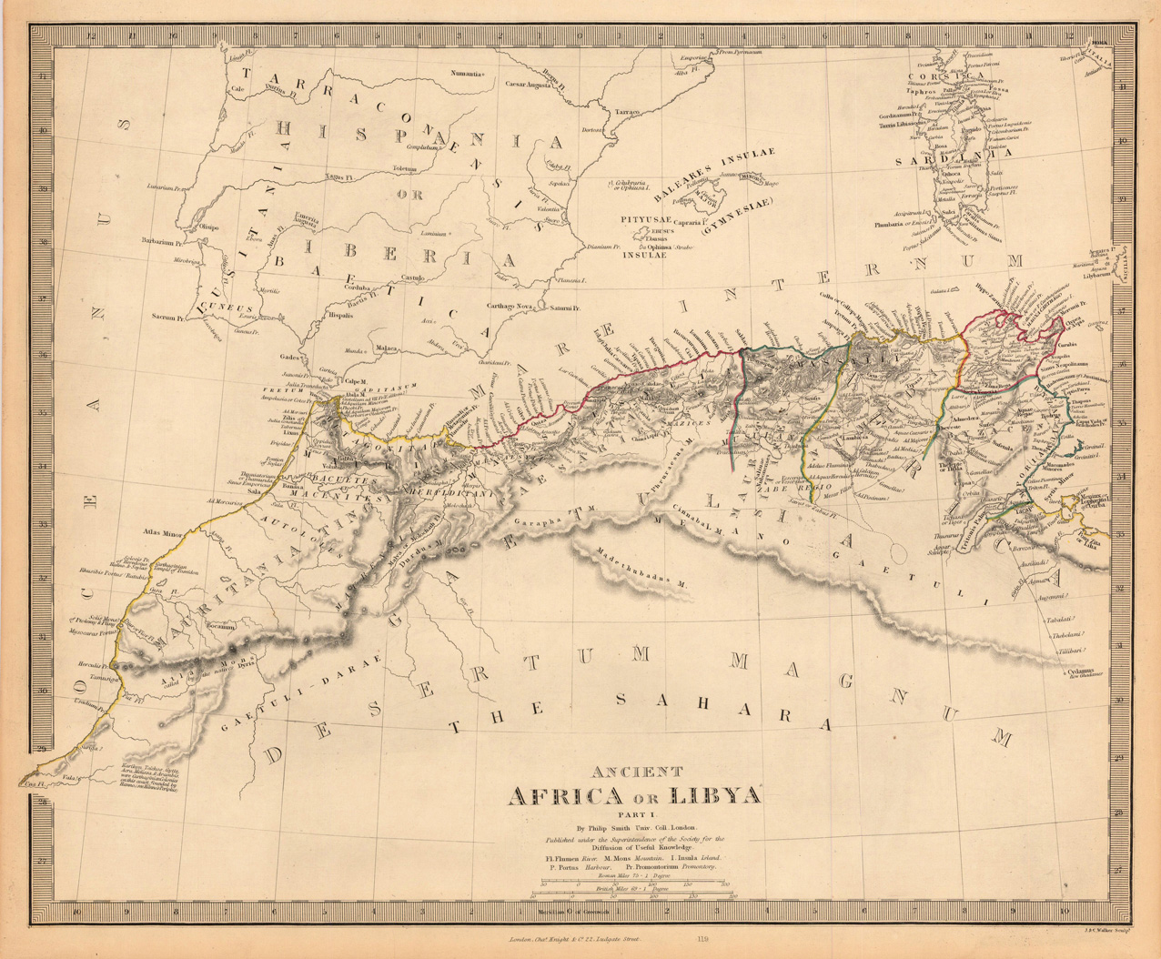
Steel engraving, hand colored in outline when published. This highly detailed map shows the ancient 'North Africa' or Libya. The map is equipped with many details of place names, rivers, mountains, etc.
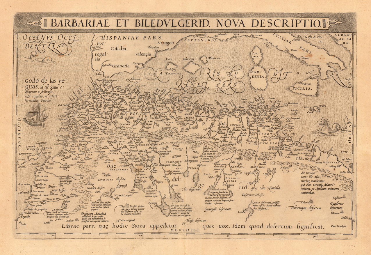
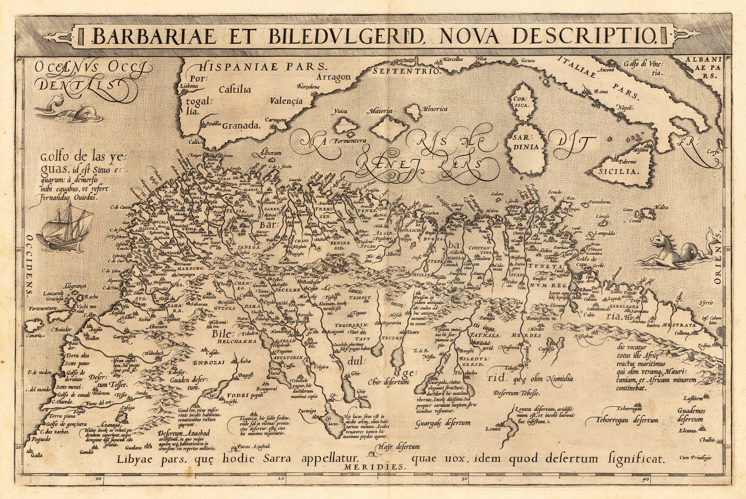
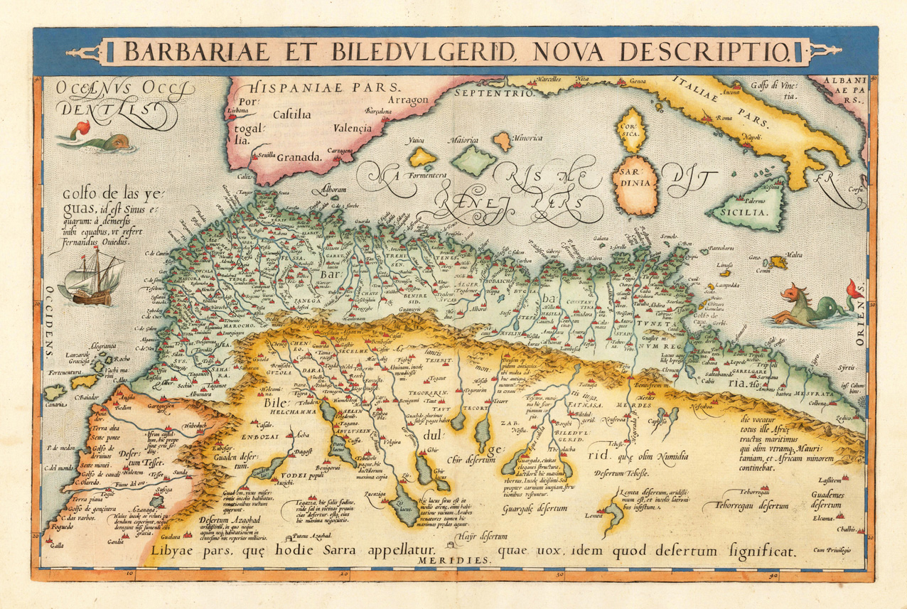
Original copper engraving, published 1608 in an Italian text edition of the 'Theatrum Orbis Terrarum'. A good and strong impression of this map. This antique map shows North Africa with the Mediterranean Sea and the Atlantic coast. The map is equipped with many place names, rivers, mountains, towns, a small part of Italy, Sicily, the islands Corsica, Sardinia, Menorca, Mallorca, etc. The map is ornated with a large title cartouche in the upper margin, as well we find for decoration a sea monsters and a ship in the sea. Villages and towns are shown as miniature views. Ortelius was born on 14 April 1527 in the city of Antwerp, which was then in the Habsburg Netherlands (modern-day Belgium). The Orthellius family were originally from Augsburg, a Free imperial city of the Holy Roman Empire. In 1535, the family had fallen under suspicion of Protestantism. Following the death of Ortelius's father, his uncle Jacobus van Meteren returned from religious exile in England to take care of Ortelius. Abraham remained close to his cousin Emanuel van Meteren, who would later move to London. In 1575 he was appointed geographer to the king of Spain, Philip II, on the recommendation of Arias Montanus, who vouched for his orthodoxy. He travelled extensively in Europe and is specifically known to have traveled throughout the Seventeen Provinces; in southern, western, northern, and eastern Germany (e.g., 1560, 1575–1576); France (1559–1560); England and Ireland (1576); and Italy (1578, and perhaps twice or thrice between 1550 and 1558). Beginning as a map-engraver, in 1547 he entered the Antwerp Guild of Saint Luke as an illuminator of maps. He supplemented his income trading in books, prints, and maps, and his journeys included yearly visits to the Frankfurt book and print fair, where he met Gerardus Mercator in 1554. In 1560, however, when travelling with Mercator to Trier, Lorraine, and Poitiers, he seems to have been attracted, largely by Mercator's influence, towards the career of a scientific geographer. (Wikipedia)
Original antique copper engraving, published 1573 in a German text edition of the 'Theatrum Orbis Terrarum' at C. Diesth in Antwerp. This antique map shows North Africa with the Mediterranean Sea and the Atlantic coast. The map is equipped with many place names, rivers, mountains, towns, a small part of Italy, Sicily, the islands Corsica, Sardinia, Menorca, Mallorca, etc. The map is ornated with a large title cartouche in the upper margin, as well we find for decoration a sea monsters and a ship in the sea. Villages and towns are shown as miniature views. Ortelius was born on 14 April 1527 in the city of Antwerp, which was then in the Habsburg Netherlands (modern-day Belgium). The Orthellius family were originally from Augsburg, a Free imperial city of the Holy Roman Empire. In 1535, the family had fallen under suspicion of Protestantism. Following the death of Ortelius's father, his uncle Jacobus van Meteren returned from religious exile in England to take care of Ortelius. Abraham remained close to his cousin Emanuel van Meteren, who would later move to London. In 1575 he was appointed geographer to the king of Spain, Philip II, on the recommendation of Arias Montanus, who vouched for his orthodoxy. He travelled extensively in Europe and is specifically known to have traveled throughout the Seventeen Provinces; in southern, western, northern, and eastern Germany (e.g., 1560, 1575–1576); France (1559–1560); England and Ireland (1576); and Italy (1578, and perhaps twice or thrice between 1550 and 1558). Beginning as a map-engraver, in 1547 he entered the Antwerp Guild of Saint Luke as an illuminator of maps. He supplemented his income trading in books, prints, and maps, and his journeys included yearly visits to the Frankfurt book and print fair, where he met Gerardus Mercator in 1554. In 1560, however, when travelling with Mercator to Trier, Lorraine, and Poitiers, he seems to have been attracted, largely by Mercator's influence, towards the career of a scientific geographer. (Wikipedia)
Original copper engraving, hand colored in outline and wash, published in a 1574 in a Latin text edition of the 'Theatrum Orbis Terrarum' at C. Diesth in Antwerp. A highly decorative map of North Africa with parts of Southern Italy published in the atlas ,Theatrum Orbis Terrarum' by A. Ortelius. This antique map shows North Africa with the Mediterranean Sea and the Atlantic coast. The map is equipped with many place names, rivers, mountains, towns, a small part of Italy, Sicily, the islands Corsica, Sardinia, Menorca, Mallorca, etc. The map is ornated with a large title cartouche in the upper margin, as well we find for decoration a sea monsters and a ship in the sea. Villages and towns are shown as miniature views. Ortelius was born on 14 April 1527 in the city of Antwerp, which was then in the Habsburg Netherlands (modern-day Belgium). The Orthellius family were originally from Augsburg, a Free imperial city of the Holy Roman Empire. In 1535, the family had fallen under suspicion of Protestantism. Following the death of Ortelius's father, his uncle Jacobus van Meteren returned from religious exile in England to take care of Ortelius. Abraham remained close to his cousin Emanuel van Meteren, who would later move to London. In 1575 he was appointed geographer to the king of Spain, Philip II, on the recommendation of Arias Montanus, who vouched for his orthodoxy. He travelled extensively in Europe and is specifically known to have traveled throughout the Seventeen Provinces; in southern, western, northern, and eastern Germany (e.g., 1560, 1575–1576); France (1559–1560); England and Ireland (1576); and Italy (1578, and perhaps twice or thrice between 1550 and 1558). Beginning as a map-engraver, in 1547 he entered the Antwerp Guild of Saint Luke as an illuminator of maps. He supplemented his income trading in books, prints, and maps, and his journeys included yearly visits to the Frankfurt book and print fair, where he met Gerardus Mercator in 1554. In 1560, however, when travelling with Mercator to Trier, Lorraine, and Poitiers, he seems to have been attracted, largely by Mercator's influence, towards the career of a scientific geographer. (Wikipedia)
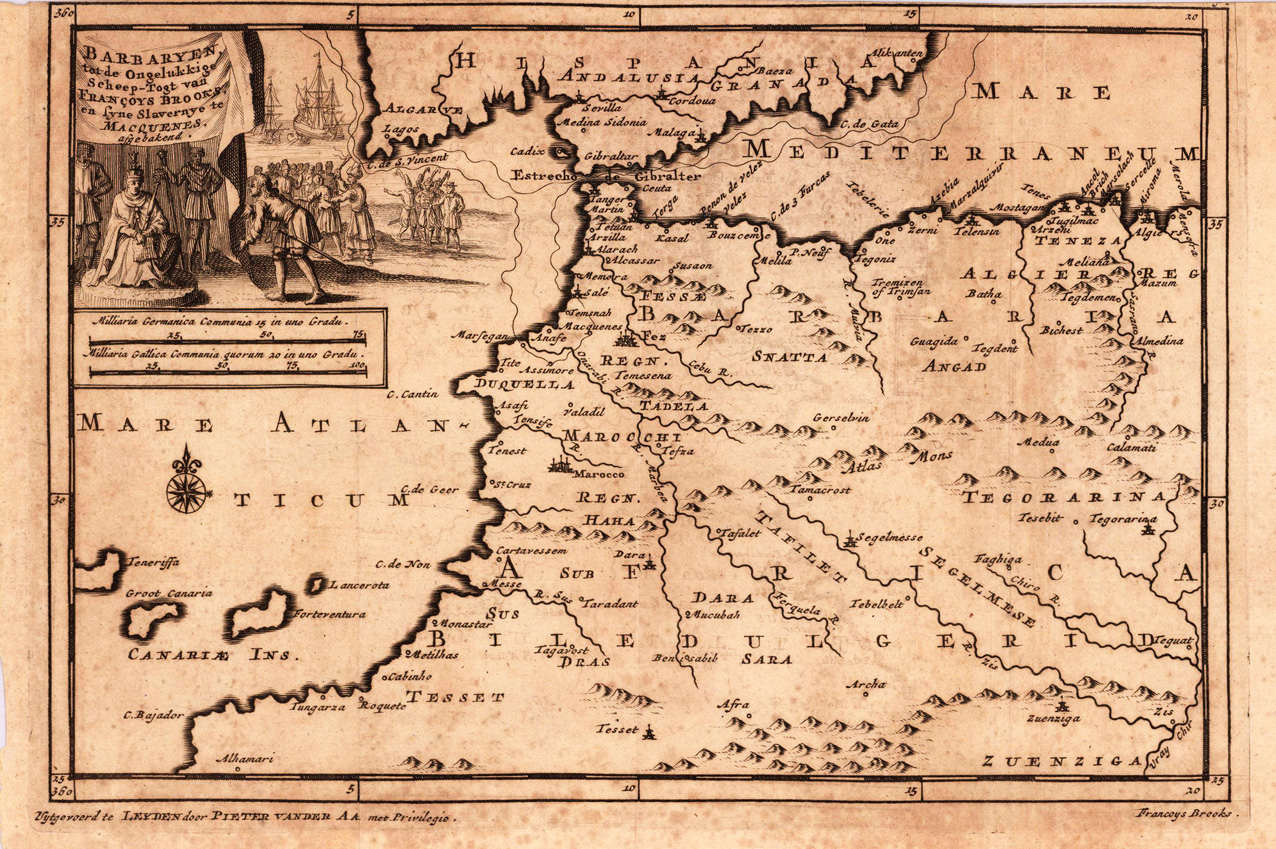
Original copper engraving, uncoloured as published. The famous Dutch publisher and mapmaker Pieter Van der Aa (1659 Leiden - 1733 Leiden) published during the period 1882-1733, an enormous quantity of printed matter (Koeman). This map was actually published in the first edition of his travelbooks Naauwkeurige versameling der gedenk-waardigste zee en landreysen na Oost en West-Indien, in Leiden 1706-08.