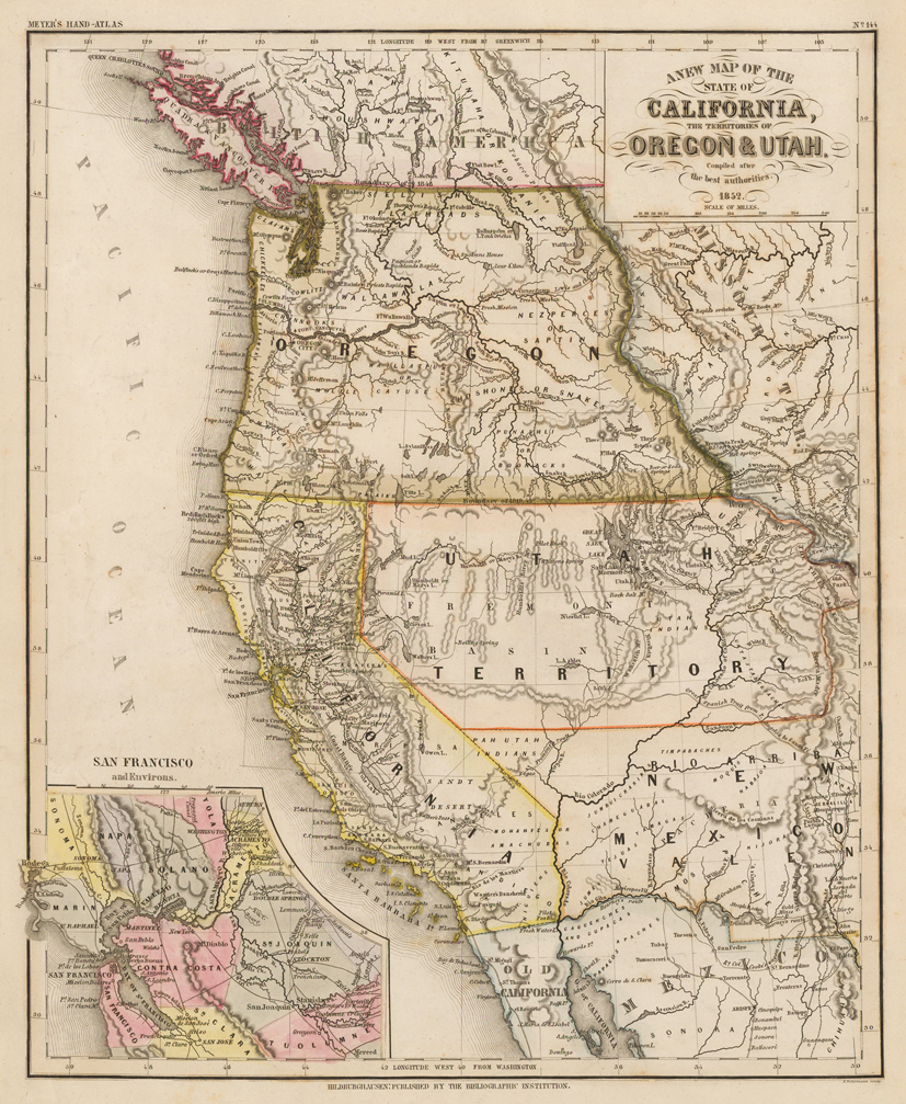
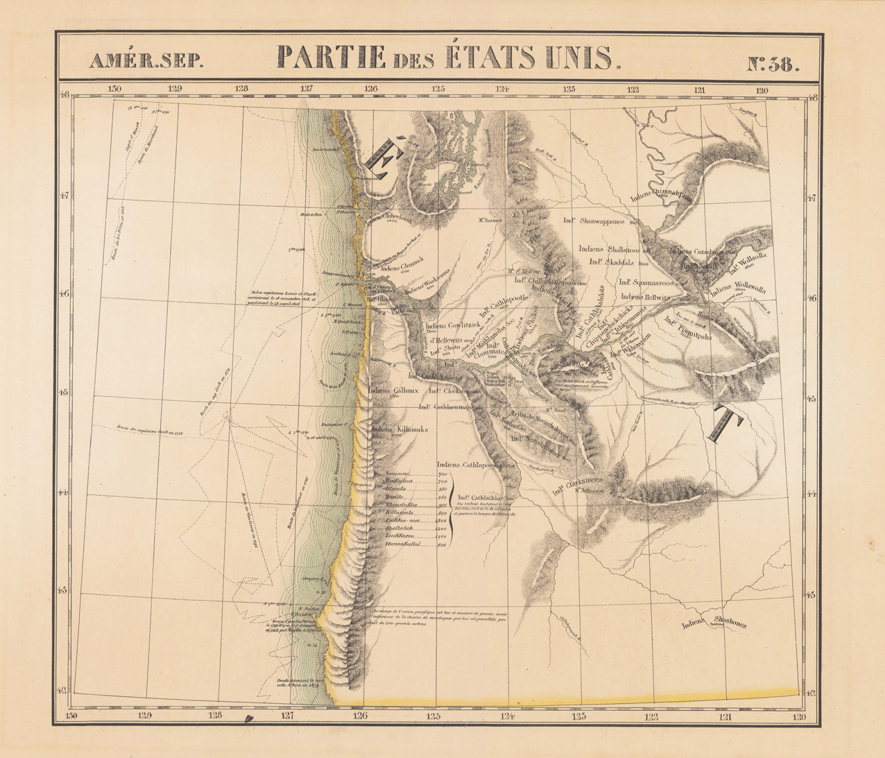
Steel engraving, hand colored in outline and wash. Published in the 2nd edition 1852 of Meyer's ,Großen Zeitungsatlas' in Hildburghausen. Engraved by E. Biedermann. Depicted are California and the states of Oregon and Utah. Equipped with an inset map of San Francisco and the bay area.
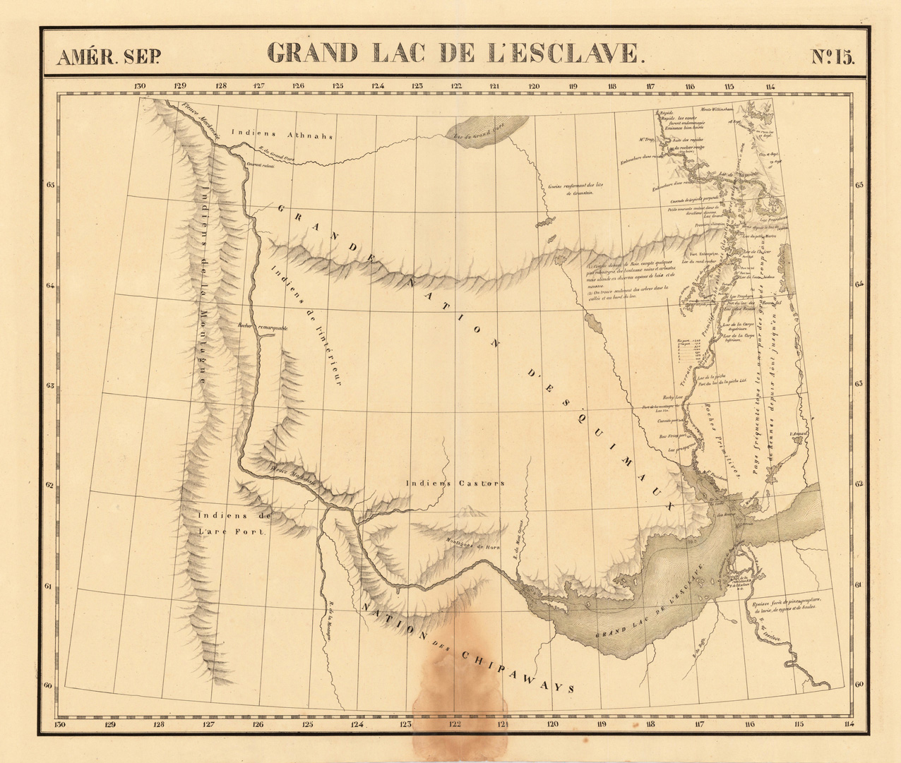
Lithograph, original hand colored in outline. Large and high detailed map of the region of the Mac Kenzie River and Grand Slave Lake. The map was published in Vandermaelen's 6 volumes atlas and is impressive with its many details of small place names, rivers, lakes and mountains. Further on the map shows several Forts: Ft. Providence, Resolution and l'Esclave. The map also shows local Indian Tribes (Chippeways, Castors, Athnahs and the Esquimaux). The eastern part of the map is highly detailed on various rivers and portages North of Slave Lake. The map was published in Phillippe Marie Vandermaelen's atlas of North America.
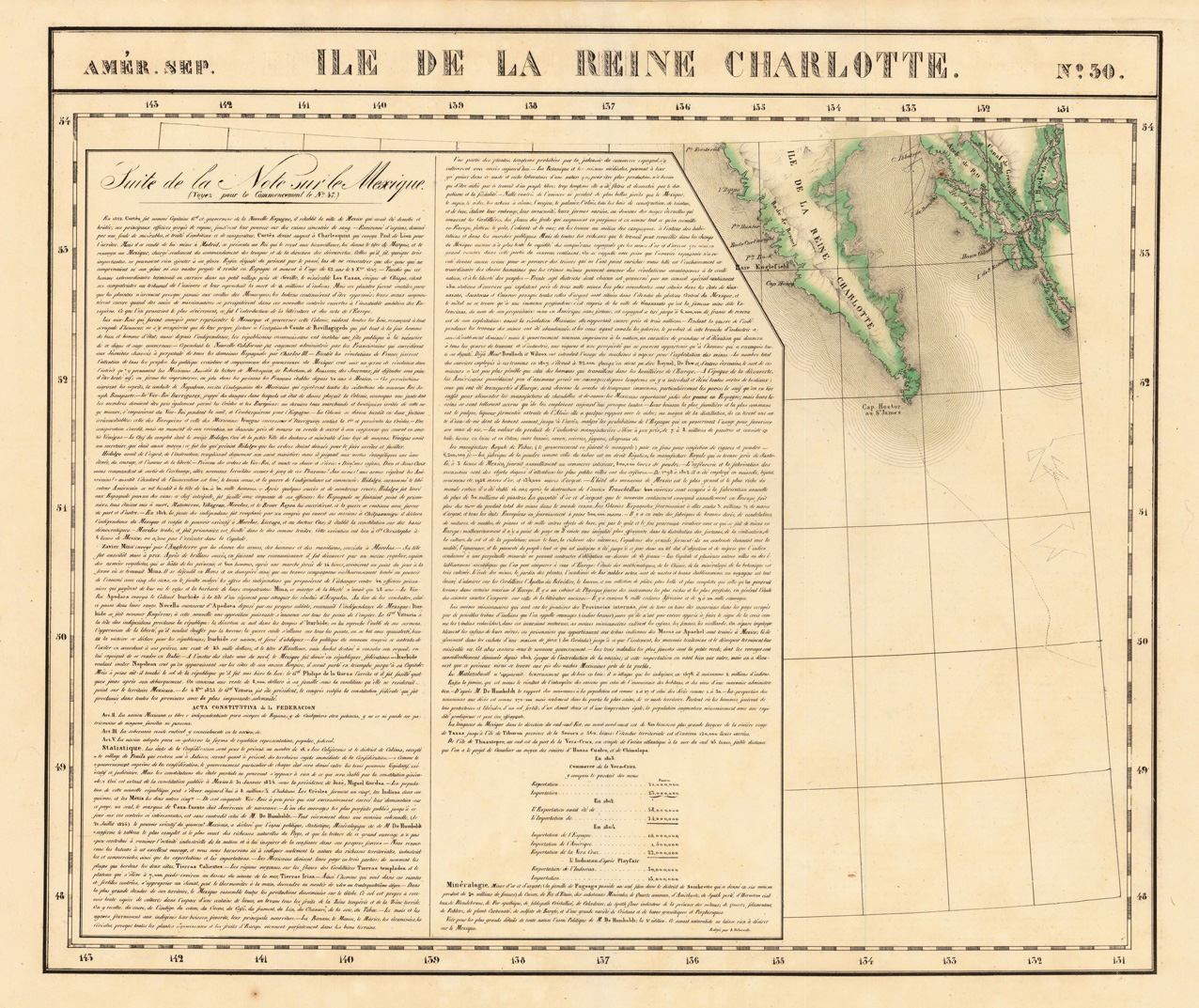
Lithograph, original hand colored in outline. The map is showing the Southern part of Queen Charlotte's Island and a part of the coastline of British Columbia. Large and detailed map on Charlotte's Island, equipped with many place names and names of smaller bays along the coastline. The map was published in Phillippe Marie Vandermaelen's atlas of North America.
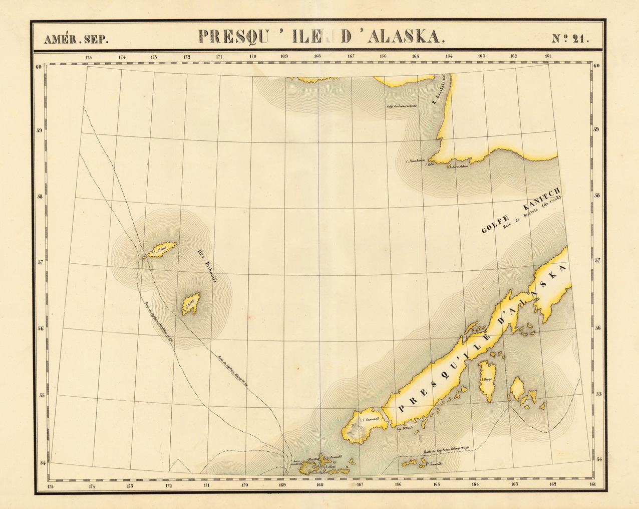
Lithograph, original hand colored in outline. A very large and highly detailed antique map, which shows the Alaskan Archipelago in many details. The map shows Gulf Kanitch, Island Ounga, Island Oumanak, Island St. Paul and the Island St. George. Further routes of the late eighteenth century explorers Captain Bilings (1790-91) and Captain Sarytchew (1791) are shown on the map. The map was published in Phillippe Marie Vandermaelen's atlas of North America.
Original woodcut, later hand colored. Original woodcut illustration, hand colored, published in the magazin ,Gartenlaube' in Leipzig around 1881. Depicted is the „the pipe quarry, the sanctuary of the red race" in Pipestone Quarry in southwestern Minnesota.
Original woodcut, later hand colored. This beautiful woodcut shows the Colorado River with a scene of two groups of Indians in the front. In the background are the imposing mountains.
Lithograph, original color in outline and wash. A decorative map which shows the states Dakota and Minnesota. The map is equipped with many place names, rivers, lakes, etc. Further names of Indian tribes are given. A small table with explanations in the lower left corner above the title.
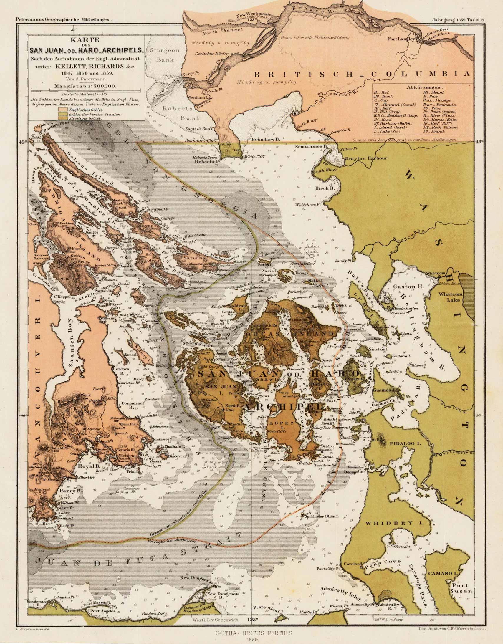
Lithograph, original color as published. Detailed map of the San-Juan or Haro-Archipel. The de Haro-Strait divides San-Juan Island from Vancouver Island. Nice and detailed interesting antique map for the collector of the Northwest.
Lithograph, original color as published. Interesting map of showing the expedition of Lieut. Wheeler in California, Nevada and Arizona in 1875. Various routes and boundaries marked on the map. An interesting item for the collector of antique maps of California and the west in that period.
An interesting map of the southwest with parts of New Mexico, California, Texas, Louisiana and the gulf of Mexico including Yucatan published by a German cartographer probably in Leipzig after the English edition by Thomas Kitchin 1777 for Dr Robertson's History of America.
Lithograph, hand colored in outline when published. A very rare map of California and its neighbouring Western states Oregon & New Mexico towards Santa Fé. It shows California from the Rocky Mountains across the desert towards the Pacific Ocean. In the map 'Gold Rush areas' and mines are marked. It is as well equipped with an extensive table of explanations and a mileage scale. The map is surrounded on two sides with extensive Italian describing text on the history and the population of California. Benedetto Marzolla based this rare and unusual map on the California on the map of 1850 by Hippolyte Ferry, who based the most parts of his map on geographic information by General Fremont and Duflot du Mofras. The inset map in the lower corner, showing the area of San Francisco and Monterey, is based on H. Ferry. The map is rich in details and extensive text notes like in the 'Deserto Di California', which are describing the passage in 1843/44 of General Fremont through that region. Also the wagon route from Santa Fe to the West Coast is marked in the map. Further on the map is rich in detailed place names of cities, villages, early settlements, forts, trails, gold regions, mines and missions. Mountain chains and rivers are as well named. Further on the map provides information on the various Indian Tribes with their occurrence. The map was published in Benedetto Marzolla's rare atlas 'Atlante Geografico ...'. The individual map or the atlas is hardly seen. An interesting collector's item for the 'California Gold Rush' and California and the west.
Lithograph, hand colored in outline when published. A very interesting map, which shows New Mexico and the neighbouring Arizona. The map shows the origins of the Aztecs and their related to Pueblos in New Mexico. The map is equipped with many small place names, engraved rivers, locations of existing and Mexicanized pueblos and ruins as well. Names of the regions of the old Aztecs settlements are given on the map: Aztlan, Tusayan, Cibola, Cenecu, Quivira, Kau-Ay-Ko, Tiguex, Quebez, Tanos, Jemez, Tehua and Taos.
Steel engraving, hand colored in outline when published. A highly detailed map of Texas, compiled and drawn by Captain Radefeld, published by Joseph Meyer in his famous edition of the large,Zeitungsatlas' around 1850-53 in Hildburghausen. Map shows the western boundary of Texas encompassing Santa Fe, the eastern boundary encompassing area of Louisiana along the Red River and into the Mississippi River delta.Texas is shown very detailed on this map with engraved place names, streets, routes, rivers, mountains and even a silver mine, salt lakes and Indian tribes are shown on the map. The outline hand color is from the period as published. Information on the various Indian tribes is given on the map as well. Texas extends in the north towards the neighboring Wyoming with the Missouri territory, in the west to New Mexico and the Utah territory. This map was published in the so-called,Zeitungsatlas', which is famous because of the great details of the various US maps, which were included in this atlas. Most of these maps were based on the cartographic information by Tanner and were updated with German geographic sources.
Steel engraving, hand colored in outline when published. A highly detailed map of Texas, compiled and drawn by Captain Radefeld, published by Joseph Meyer in one of the early editions of the large ,Zeitungsatlas' around 1846 in Hildburghausen. The map shows the western boundary of Texas encompassing Santa Fe, the eastern boundary encompassing area of Louisiana along the Red River and into the Mississippi River delta. Texas is shown very detailed on this map with engraved place names, streets, routes, rivers, mountains and even a silver mine, salt lakes and Indian tribes are shown on the map. The outline hand color is from the period as published. Information on the various Indian tribes is given on the map as well. Texas extends in the north towards the neighboring Wyoming with the Missouri territory, in the west to New Mexico and the Utah territory. This map was published in the so-called ,Zeitungsatlas', which is famous because of the great details of the various US maps, which were included in this atlas. Most of these maps were based on the cartographic information by Tanner and were updated with German geographic sources.