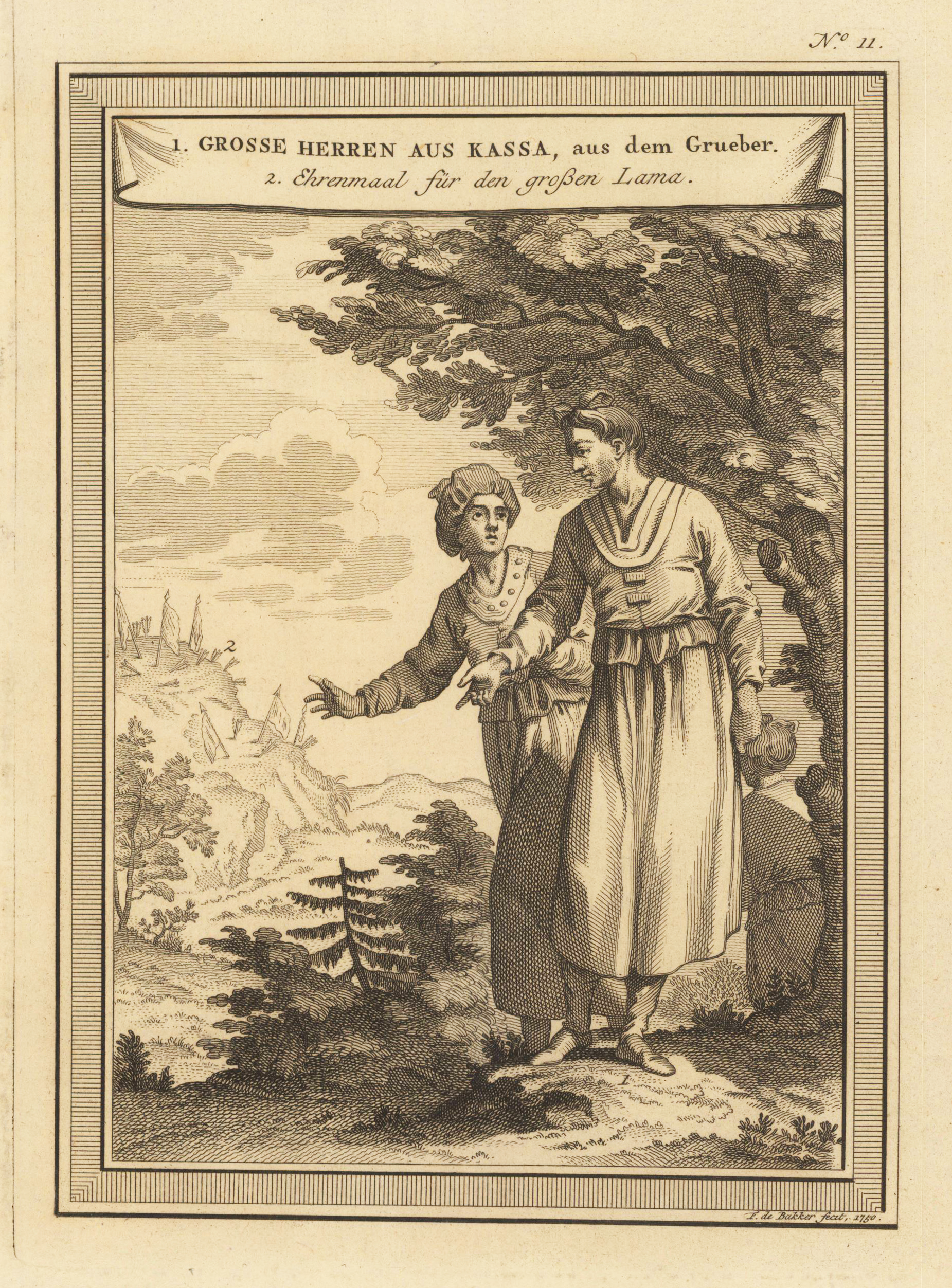
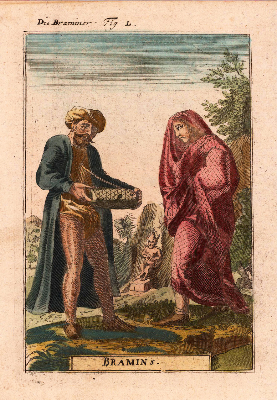
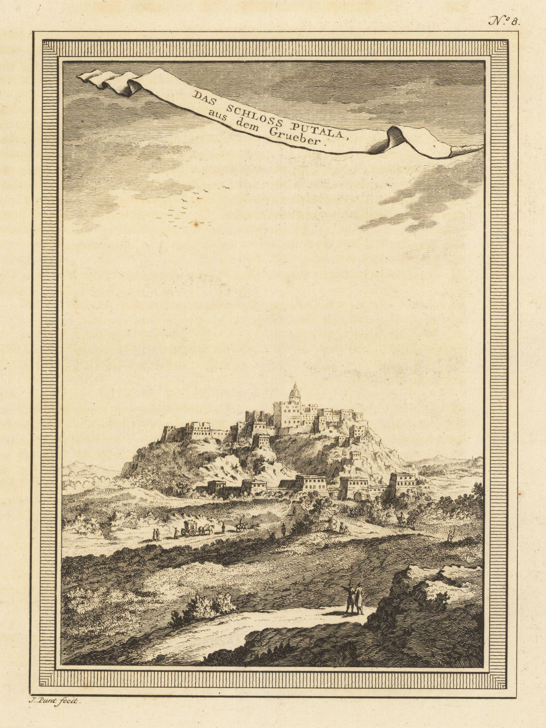
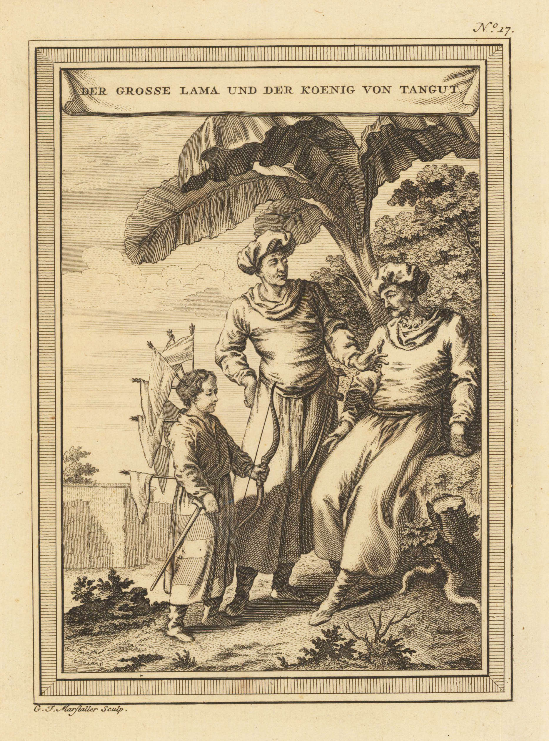
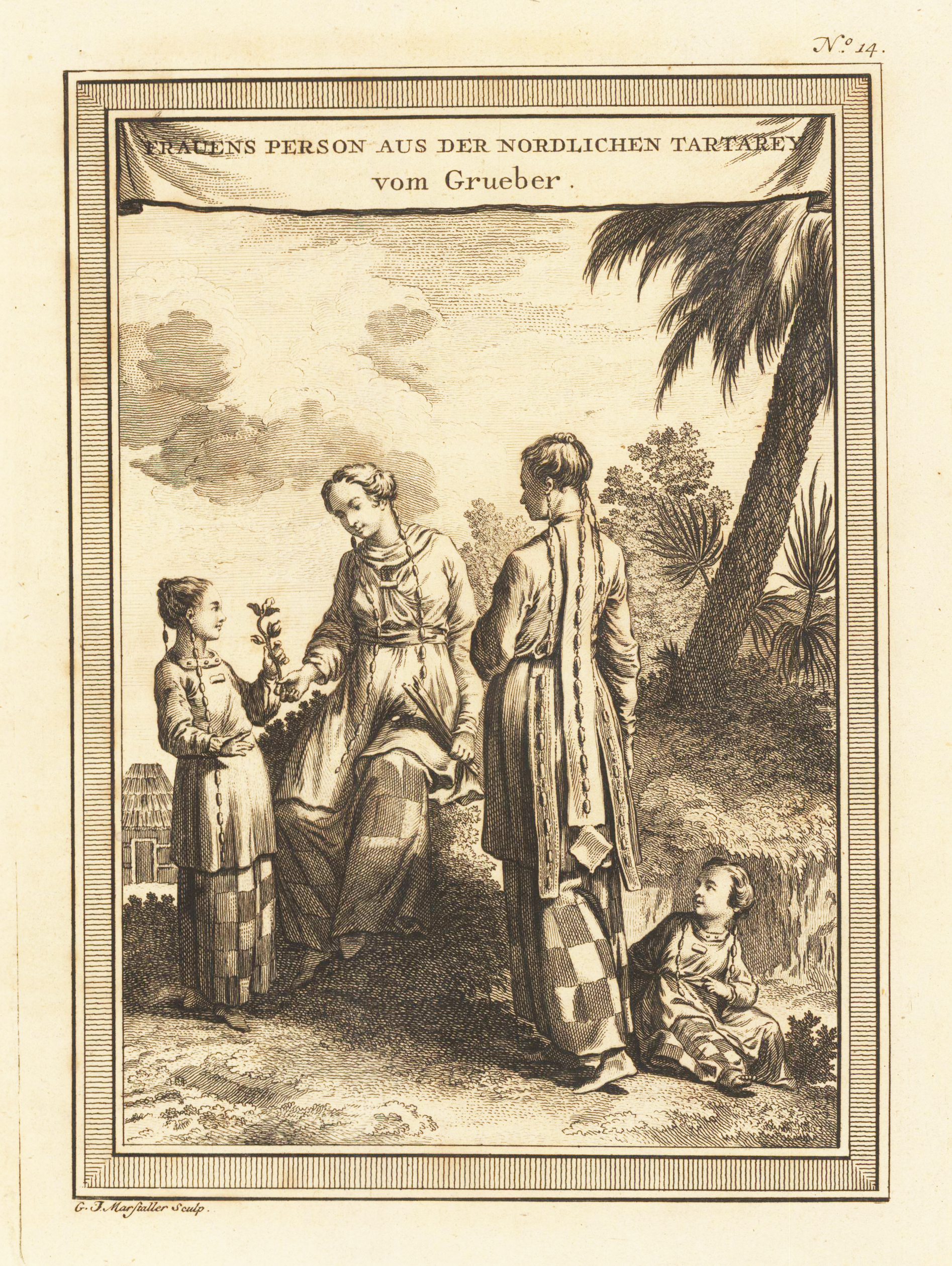
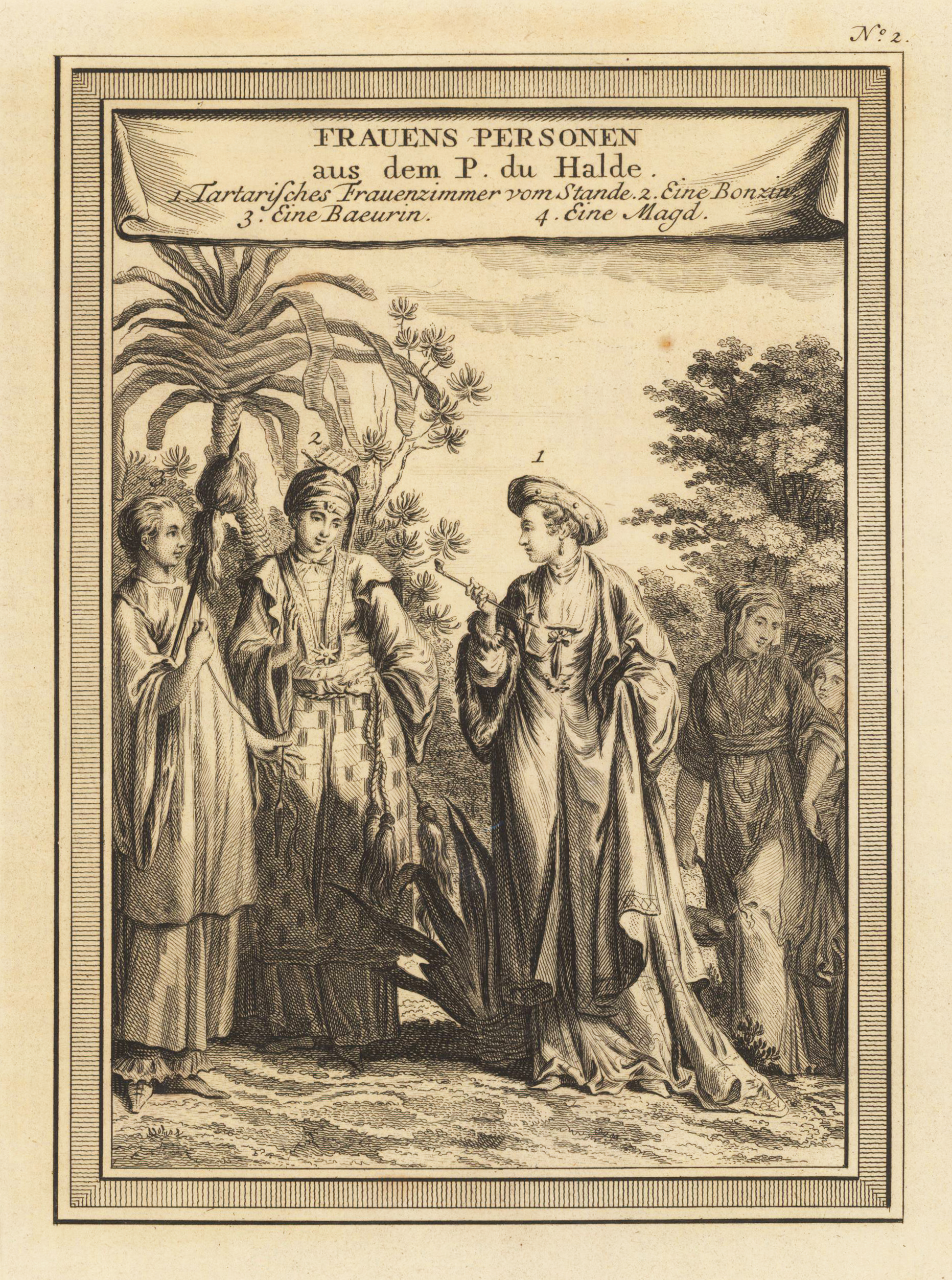
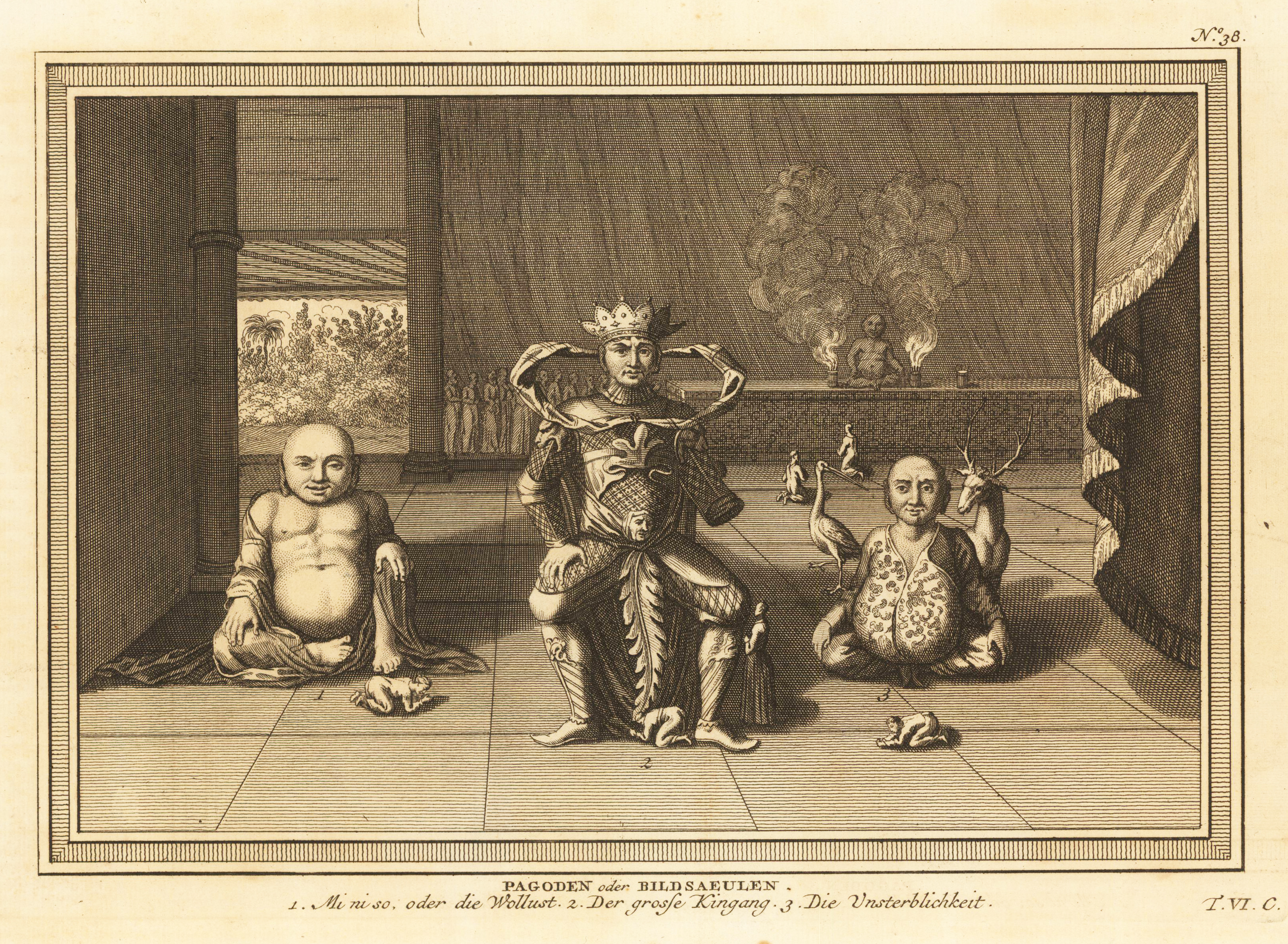
Original antique copper engraving, uncolored as published. As a cartographer, Bellin excelled above all in the field of sea cartography. From 1721 he worked for the Dépot des Cartes et Plans de la Marine, from 1741 until his death as a marine hydrographer. In 1753 his atlas Neptune français, which mapped all the coasts of France, was published, and in 1756 the hydrography françoise relating to all of the world's seas. In 1764 the five-volume Petit Atlas maritime appeared, which Bellin prepared on the orders of the Minister of the Navy, Choiseul. In addition, he wrote a number of geographical works and with Nouvelle méthode pour apprendre la géographie (1769) a geographical textbook for teaching. His maps illustrated, among other things, Bougainville's 1771 work Voyage autour du monde. (Wikipedia)
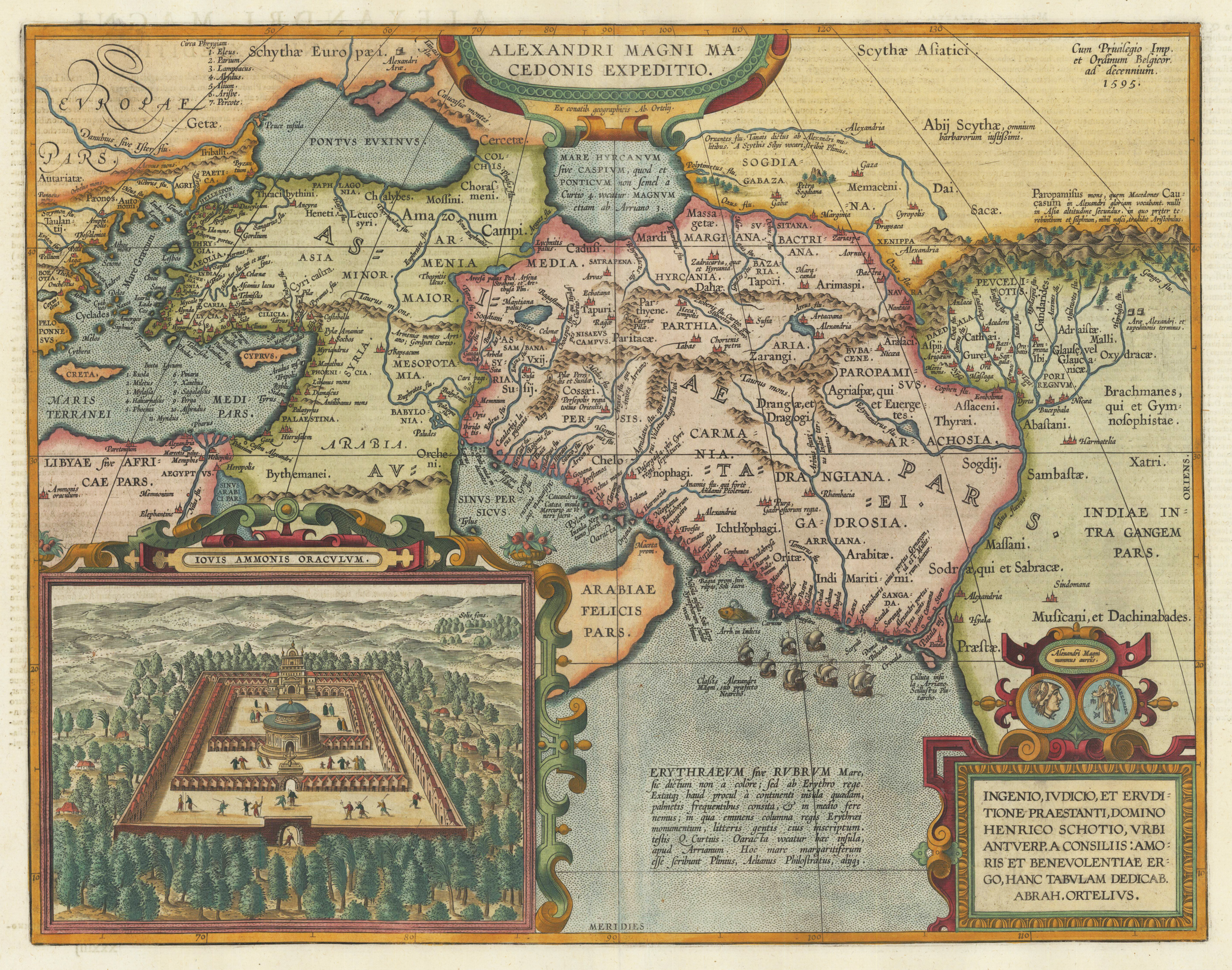
Original copper engraving, published 1612 in the famous historical atlas "Parergon" (Latin text-edition) by Abraham Ortelius. Finely later hand colored in wash and outline. Abraham Ortelius's historical map depicting the expedition of Alexander the Great with the inset view of the temple of Jupiter Amman, situated in present day in Libya, where Alexander the Great went to ask what would be the result of his expedition. The geographical sources of this map is based on various classical authors: Archelaus, Diogenes, Plinius, Ptolemy, Livius and Plutarch. This highly decorative and interessting historical map shows the Eastern Mediterranean Sea, the Middle East and Persia towards the neighbouring India. The fleet of Alexander the Great nicely engraved in the northern part of the Indian Ocean together with a small sea monster. Historical place names, rivers and mountain chains are engraved on the antique map. Lower right corner with a text cartouche with a dedication to Abraham Ortelius and above ornated with a coin showing a portrait of Alexander the Great. The map is ornated with two cartouches, on top in the middle the title cartouche, on the lower right side the decorative text cartouche and the ,priviliegium' with the date ,1595' in the upper right corner. In the lower left corner we find an inset showing the oracle of Jupiter Amman. Villages and towns are shown as miniature views. The map was published for the first time in 1595 in the edition of the ,Theatrum Orbis Terrarum' and was published until 1624 in the atlas ,Parergon' by A. Ortelius.
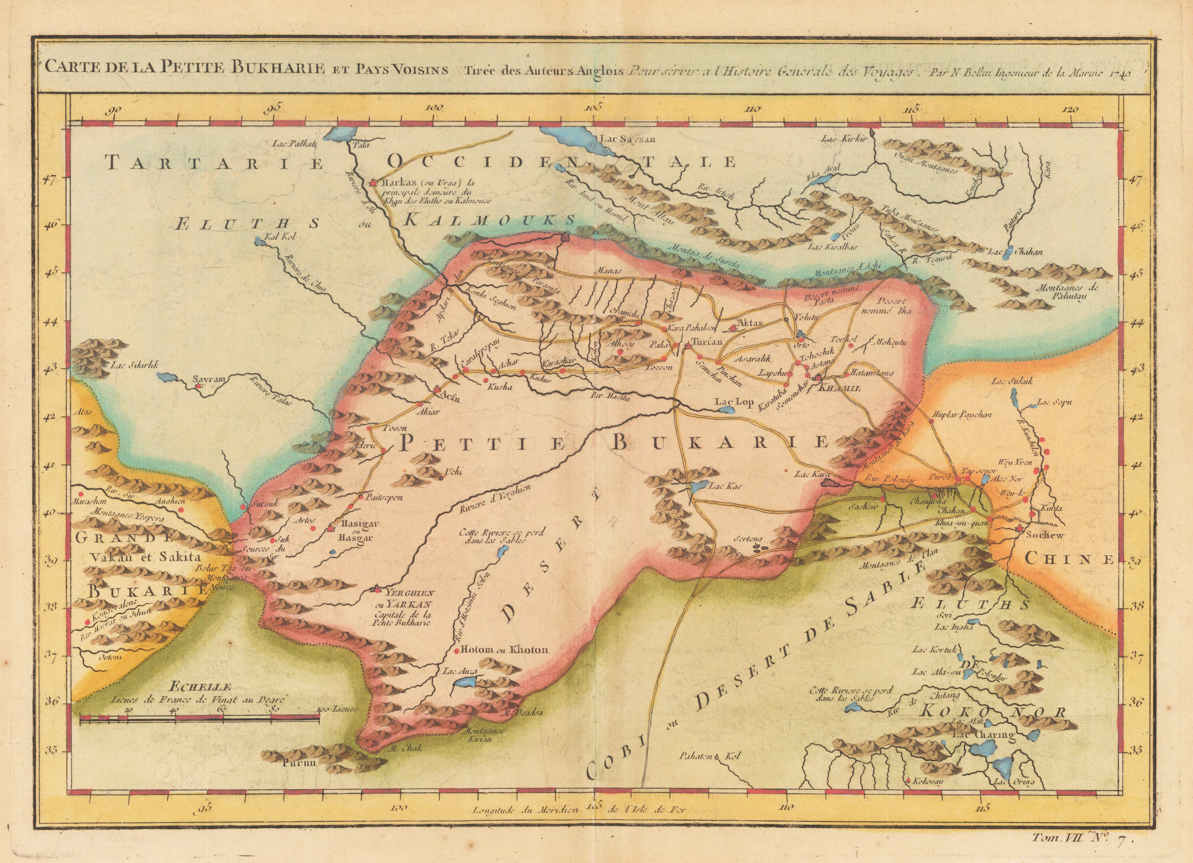
Original antique copper engraving, hand colored in outline and wash. As a cartographer, Bellin excelled above all in the field of sea cartography. From 1721 he worked for the Dépot des Cartes et Plans de la Marine, from 1741 until his death as a marine hydrographer. In 1753 his atlas Neptune français, which mapped all the coasts of France, was published, and in 1756 the hydrography françoise relating to all of the world's seas. In 1764 the five-volume Petit Atlas maritime appeared, which Bellin prepared on the orders of the Minister of the Navy, Choiseul. In addition, he wrote a number of geographical works and with Nouvelle méthode pour apprendre la géographie (1769) a geographical textbook for teaching. His maps illustrated, among other things, Bougainville's 1771 work Voyage autour du monde. (Wikipedia)
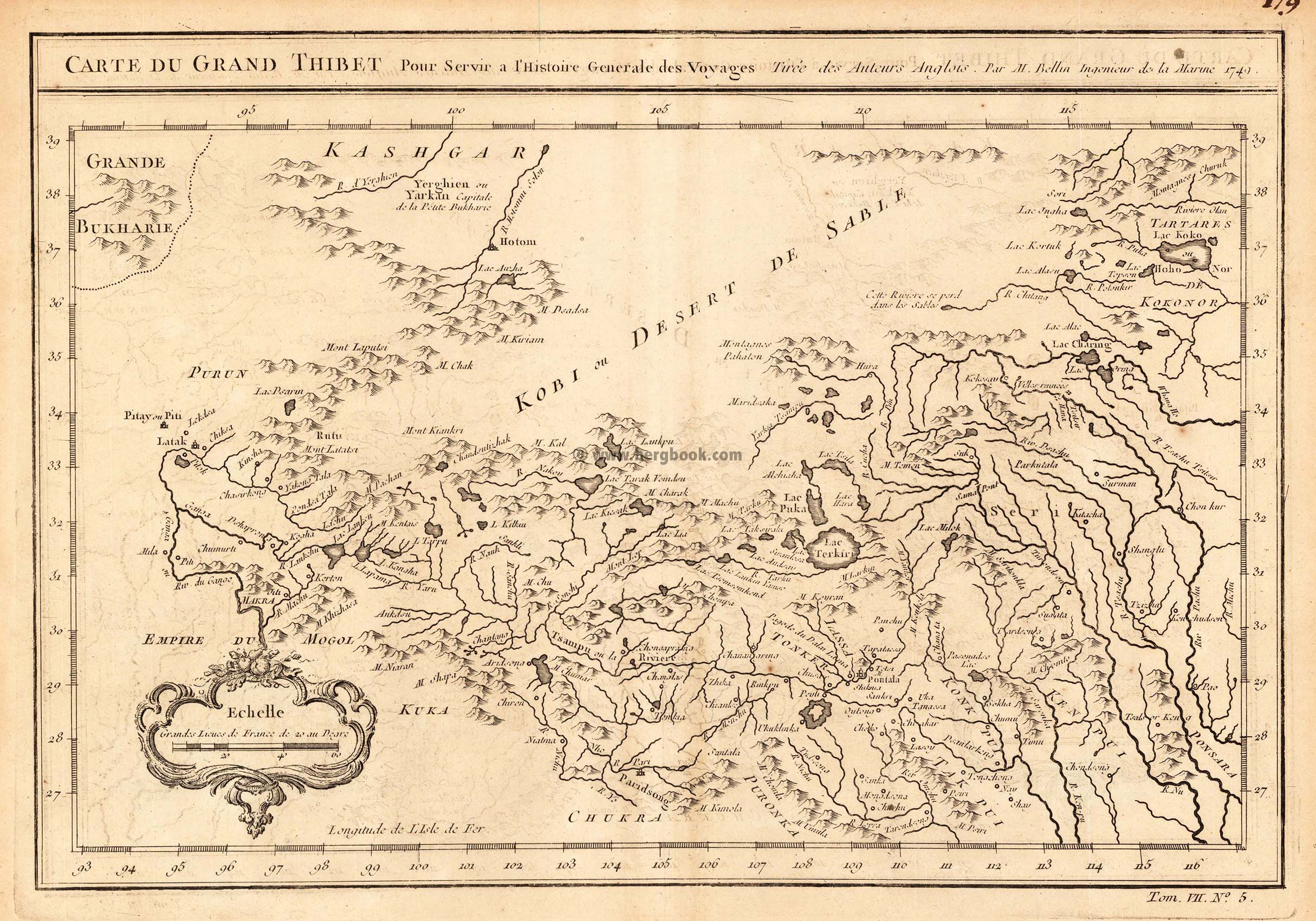
Copper engraving, uncolored as published. An interesting small and detailled antique map of Grand Thibet, these days called the autonom region Tibet. With many engraved details: rivers, lakes, some mountain chains and engraved names of villages and rivers. Published in an atlas volume of Nicolaus Bellin's ,Histoire generale des Voyages' around 1760 in Paris.
Copper engraving, uncolored as published. As a cartographer, Bellin excelled above all in the field of sea cartography. From 1721 he worked for the Dépot des Cartes et Plans de la Marine, from 1741 until his death as a marine hydrographer. In 1753 his atlas Neptune français, which mapped all the coasts of France, was published, and in 1756 the hydrography françoise relating to all of the world's seas. In 1764 the five-volume Petit Atlas maritime appeared, which Bellin prepared on the orders of the Minister of the Navy, Choiseul. In addition, he wrote a number of geographical works and with Nouvelle méthode pour apprendre la géographie (1769) a geographical textbook for teaching. His maps illustrated, among other things, Bougainville's 1771 work Voyage autour du monde. (Wikipedia)
Copper engraving, uncolored as published. As a cartographer, Bellin excelled above all in the field of sea cartography. From 1721 he worked for the Dépot des Cartes et Plans de la Marine, from 1741 until his death as a marine hydrographer. In 1753 his atlas Neptune français, which mapped all the coasts of France, was published, and in 1756 the hydrography françoise relating to all of the world's seas. In 1764 the five-volume Petit Atlas maritime appeared, which Bellin prepared on the orders of the Minister of the Navy, Choiseul. In addition, he wrote a number of geographical works and with Nouvelle méthode pour apprendre la géographie (1769) a geographical textbook for teaching. His maps illustrated, among other things, Bougainville's 1771 work Voyage autour du monde. (Wikipedia)
Original antique copper engraving, uncolored as published. A fine detailed and interesting map engraved by Bellin after earlier voyages. Published in the German edition by Schwabe in Leipzig of Bellin's travel books.
Copper engraving, uncolored as published. As a cartographer, Bellin excelled above all in the field of sea cartography. From 1721 he worked for the Dépot des Cartes et Plans de la Marine, from 1741 until his death as a marine hydrographer. In 1753 his atlas Neptune français, which mapped all the coasts of France, was published, and in 1756 the hydrography françoise relating to all of the world's seas. In 1764 the five-volume Petit Atlas maritime appeared, which Bellin prepared on the orders of the Minister of the Navy, Choiseul. In addition, he wrote a number of geographical works and with Nouvelle méthode pour apprendre la géographie (1769) a geographical textbook for teaching. His maps illustrated, among other things, Bougainville's 1771 work Voyage autour du monde. (Wikipedia)
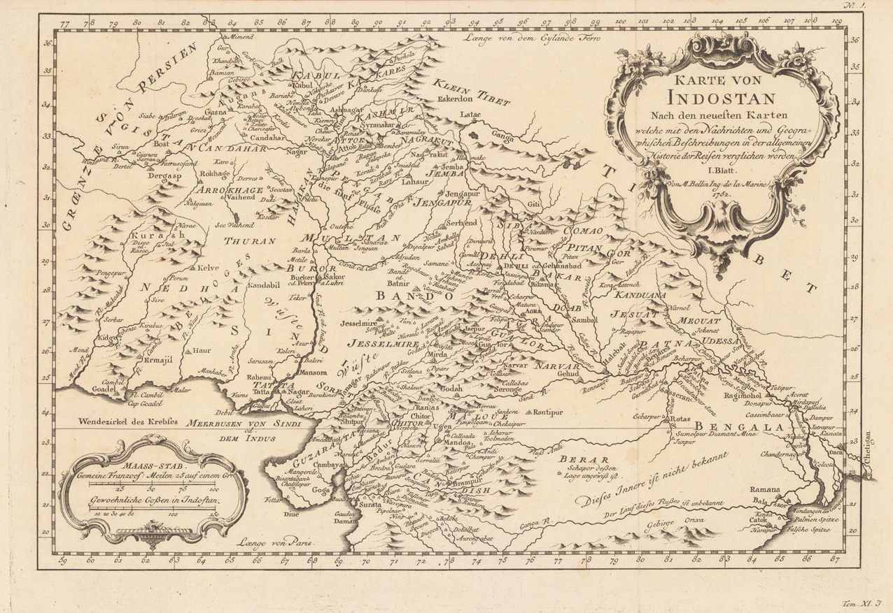
Copper engraving, uncolored as published. Decorative map of Northern India with the neighboring Persia and Tibet. The map itself encludes Pakistan and Afghanistan with Kabul. With many engraved place names, rivers and mountains. Detailled and interesting map engraved by Bellin after earlier voyages.
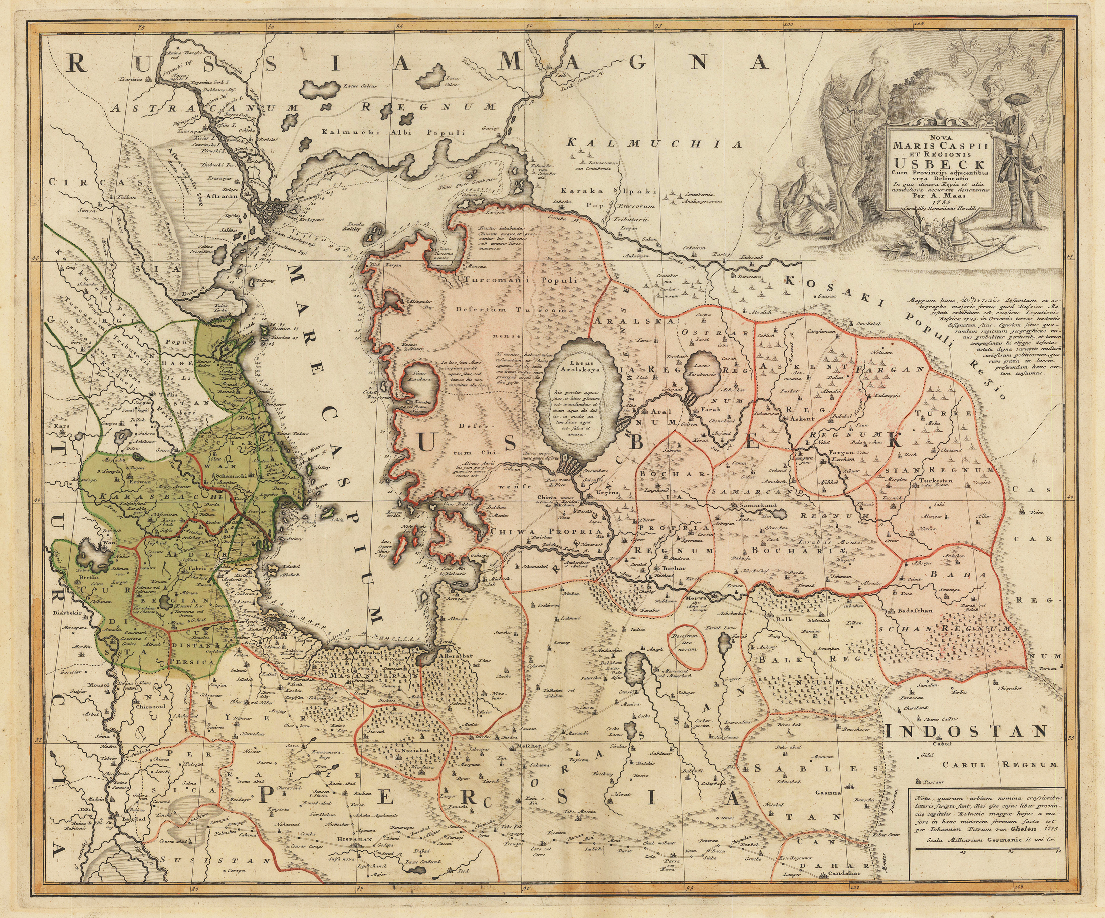
Copper engraving hand colored in outline and wash when published. This fine antique map depicts the Caspian Sea and Usbestian around 1735. Published in the famous German printing house Homann Heirs in Nürnberg. This rare map depicts also Northern Persia and shows the ,Silk Road' towards Isphahan in Peria, Isphahan, Astrakan, Bokhara, Merwa, Balk, Cabul, Samarkand and other old trading places. Usbeckistan ist shown highly detailed on the old map with the Aral Sea in its centre. The Aral Sea is lying between Kazakhstan in the north and Uzbekistan in the south. Further the maps shows an enormous amount of place names, mountains, rivers, lakes, trade routes, etc. Central Asia with the Caspian Sea, Usbeckistan and northern Persia. Shows the trade routes (Silk Road) and the cities Isphahan, Astrakan, Cabul, Bokhara, Samarkand etc.
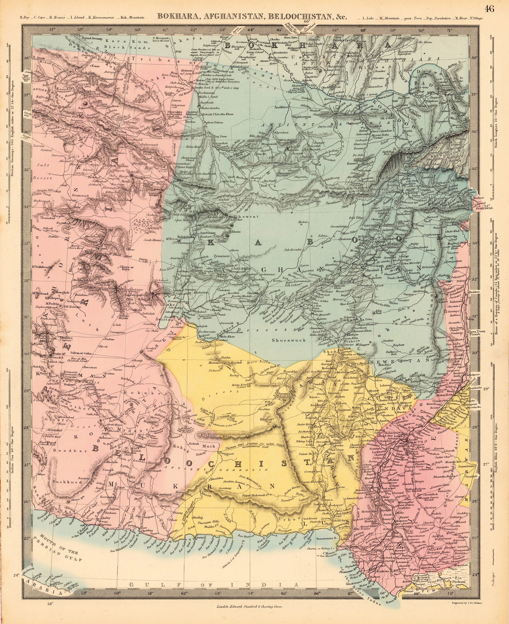
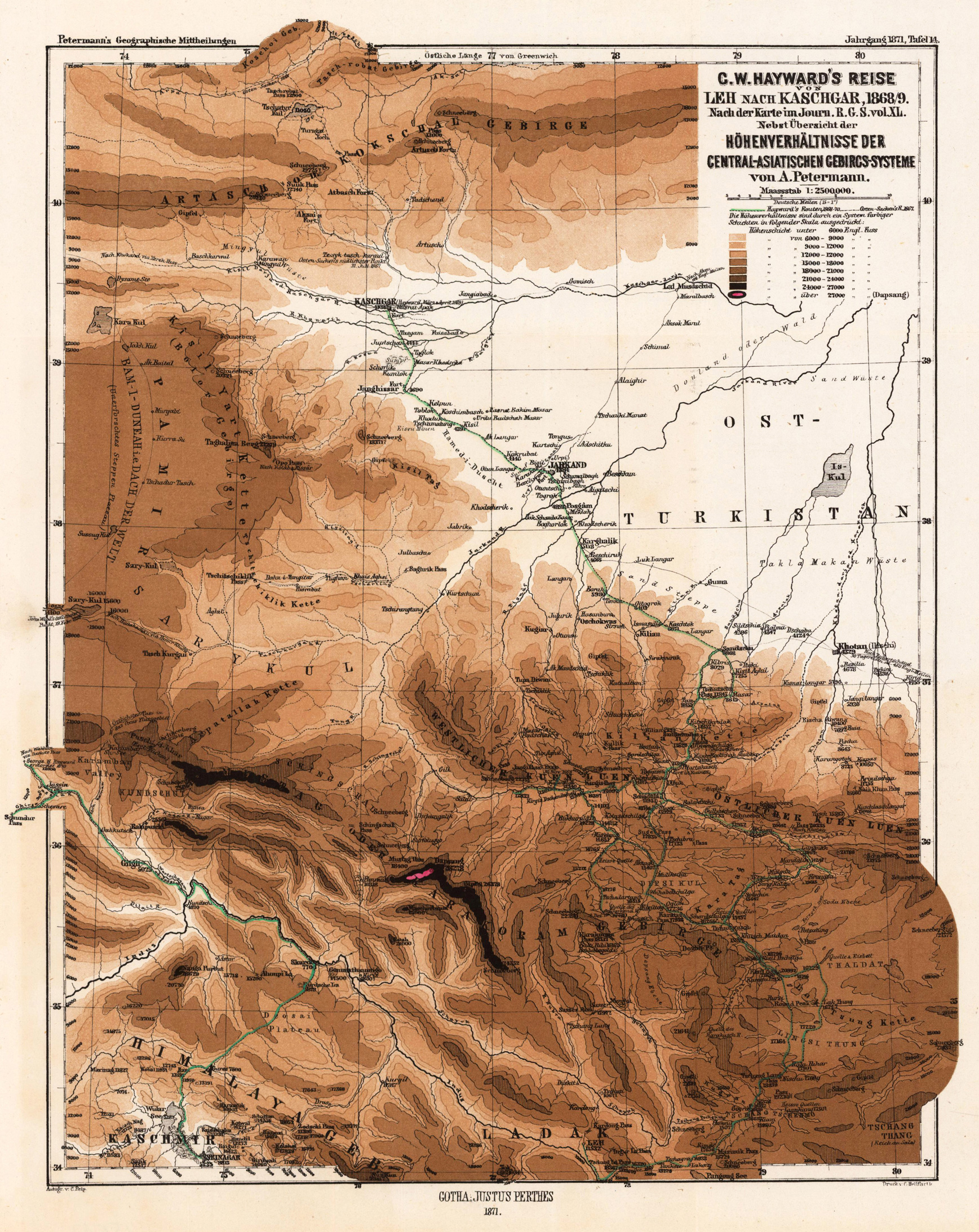
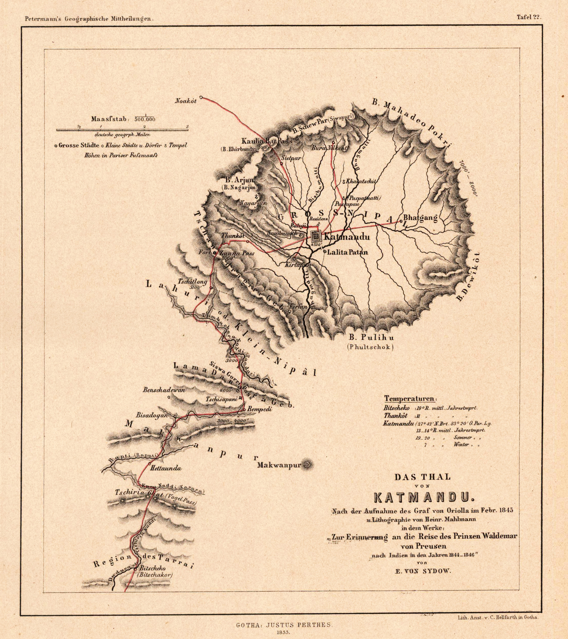
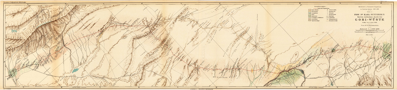
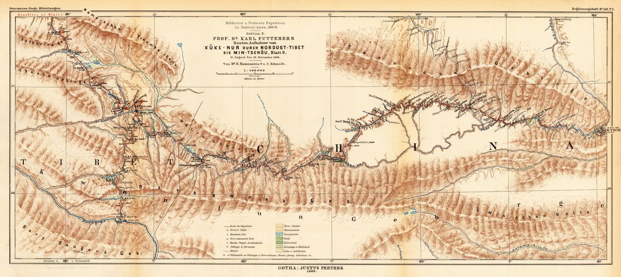
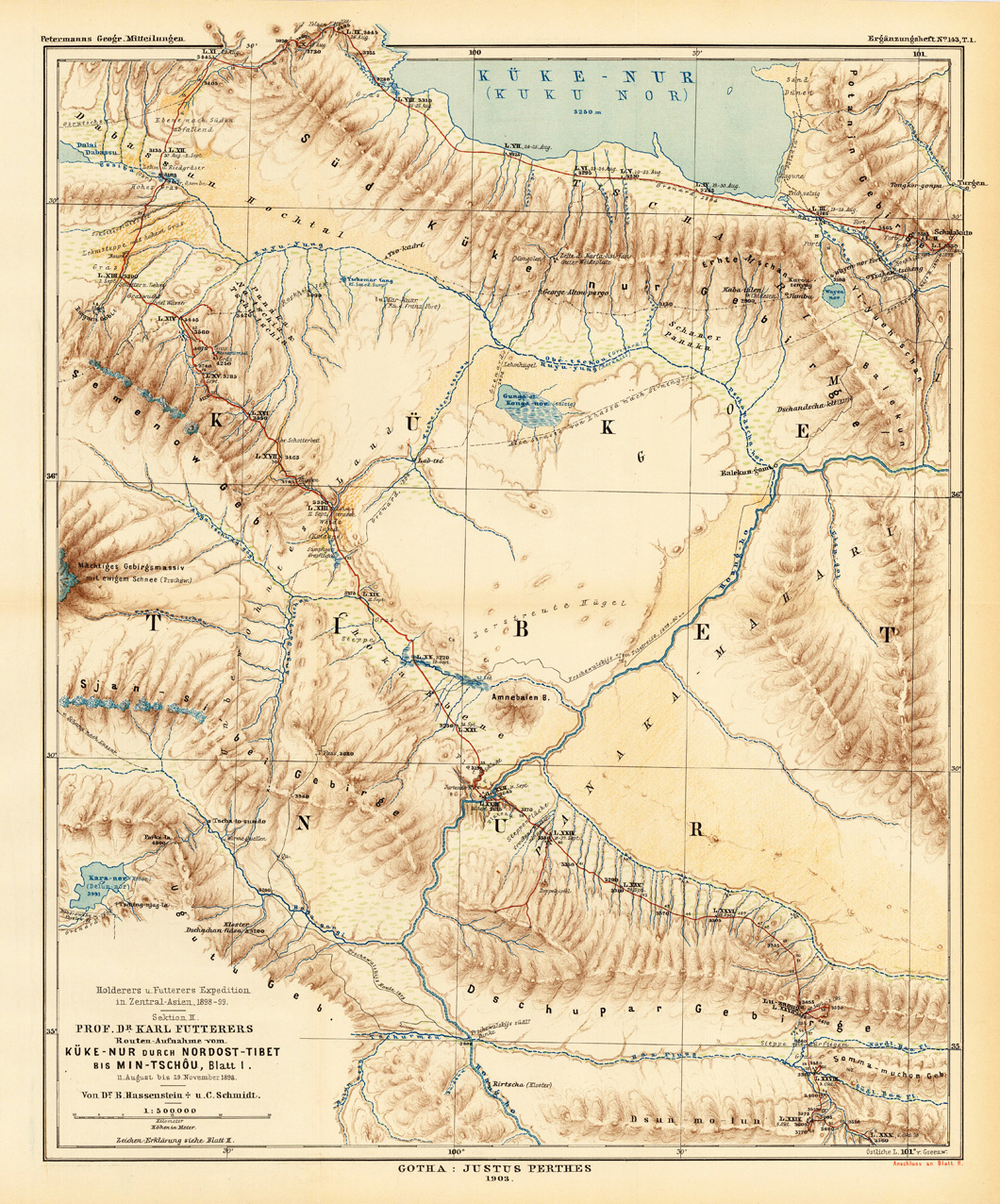
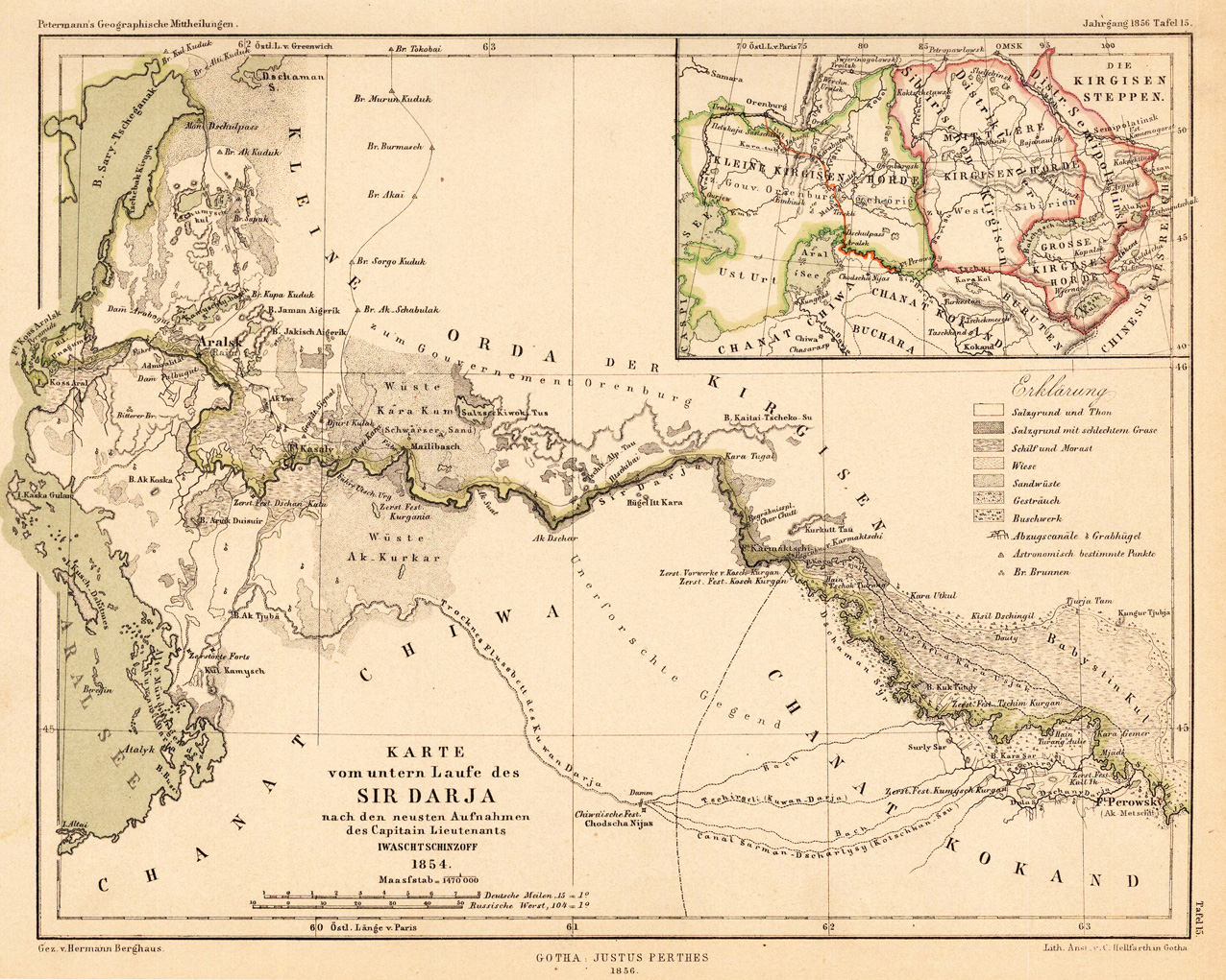
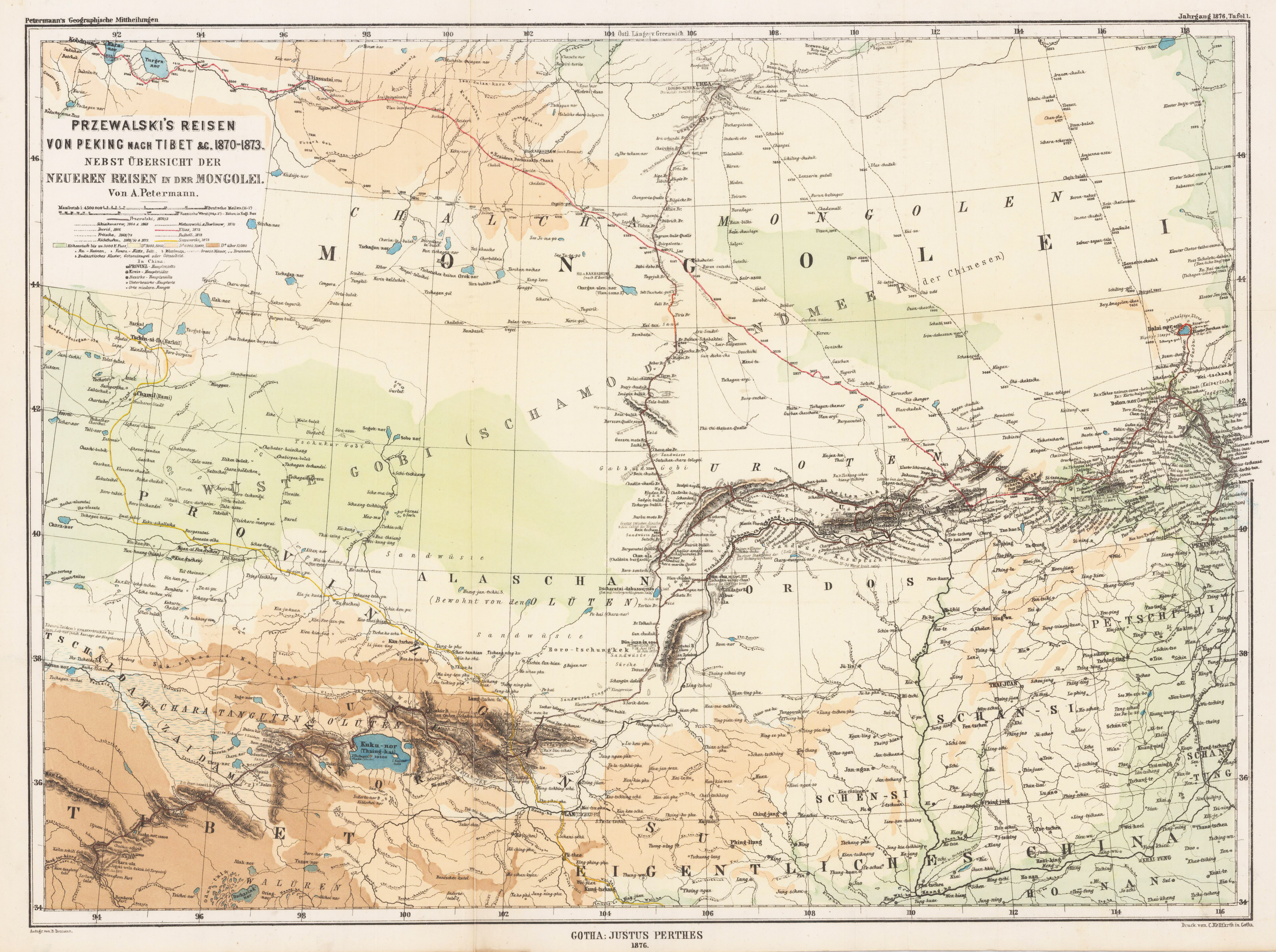
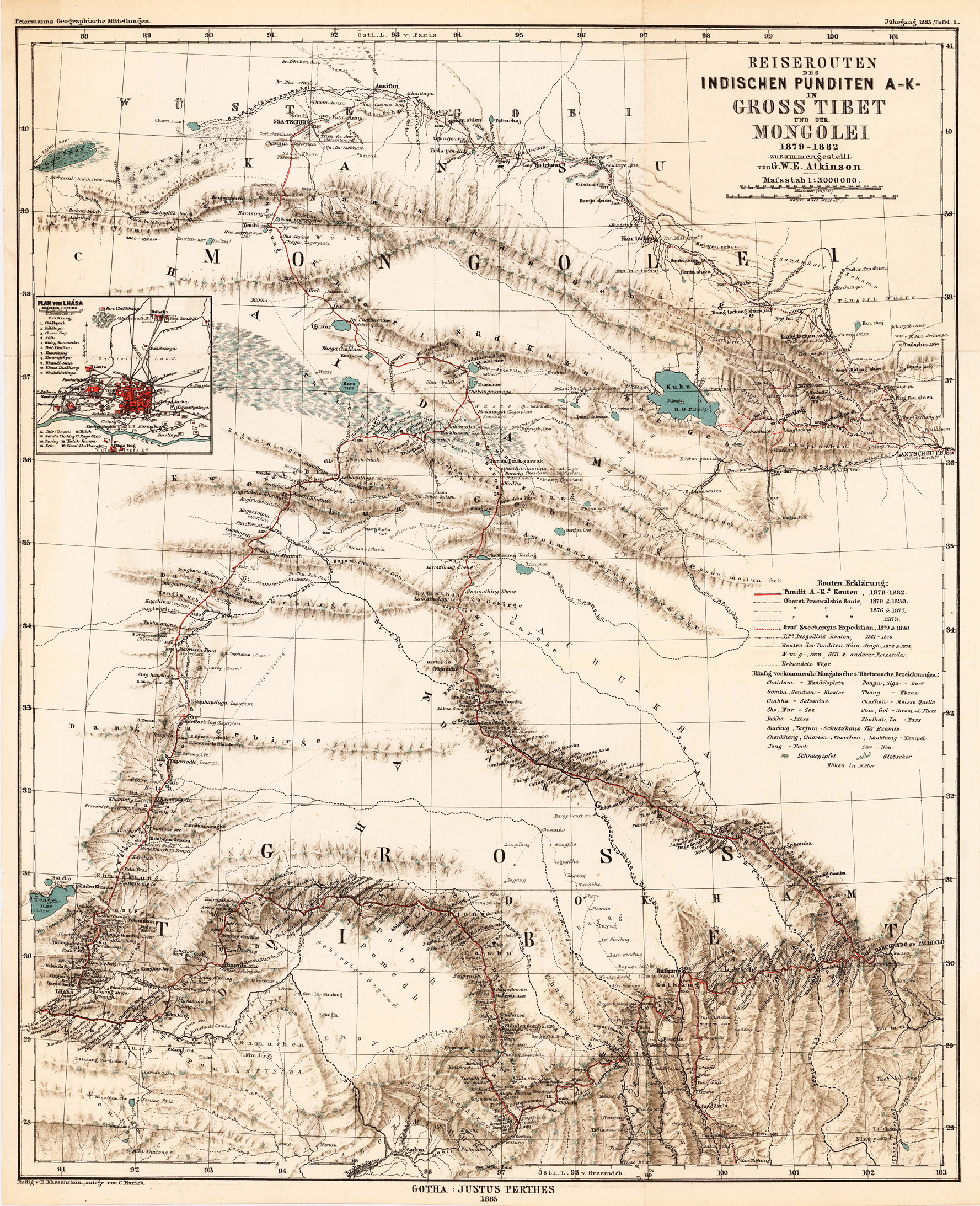
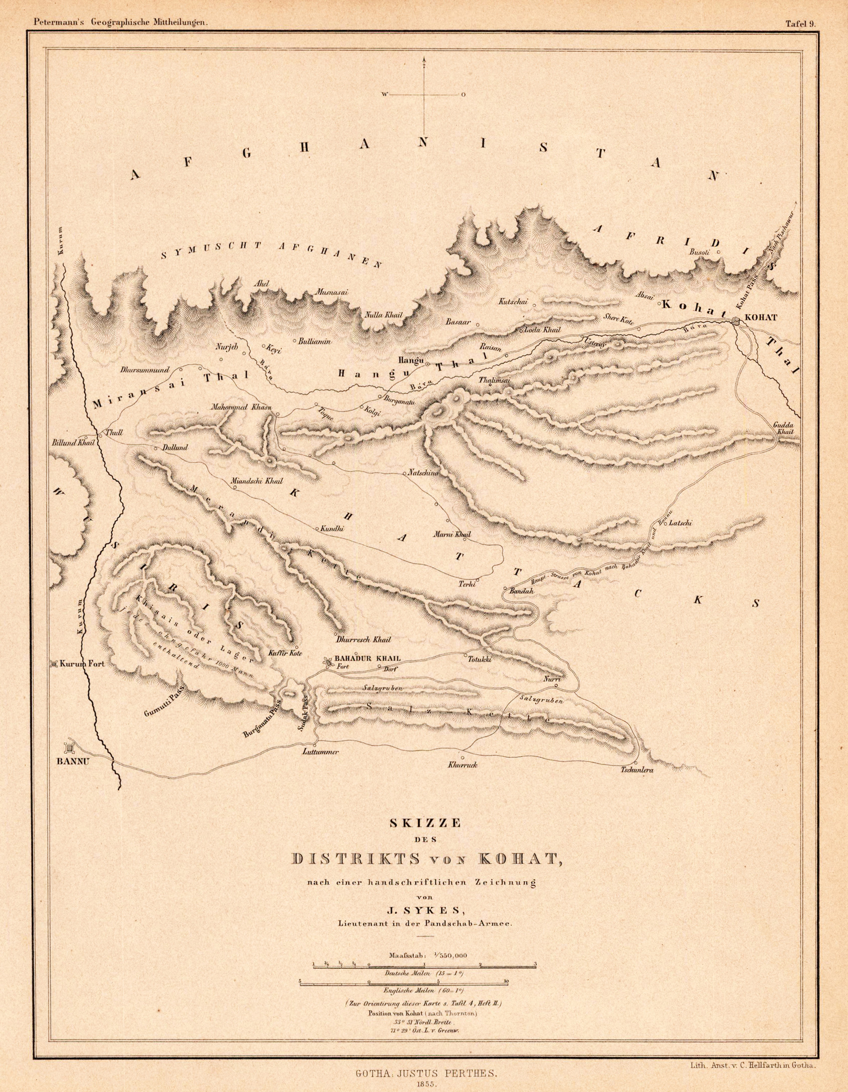
Original antique Lithograph, original color in outline and wash. August Heinrich Petermann (April 18, 1822 in Bleicherode – September 25, 1878 in Gotha) was a German geographer and cartographer. He is considered one of the most important representatives of these sciences of the 19th century. Born in the center of Bleicherode as the son of an actuary, he went to high school in Nordhausen at the age of 14 and dealt with geography and drawing maps from an early age. In 1839 he entered Heinrich Berghaus' art school in Potsdam to receive scientific and technical training in cartography. In 1845 he moved to Edinburgh and in 1847 to London. In 1854 he moved from London to Gotha in Thuringia, which had an excellent scientific reputation since the work of the astronomer and geodesist Franz Xaver von Zach. A year later he founded Petermanns Geographical Communications, an important German-language journal for geography. (Wikipedia)