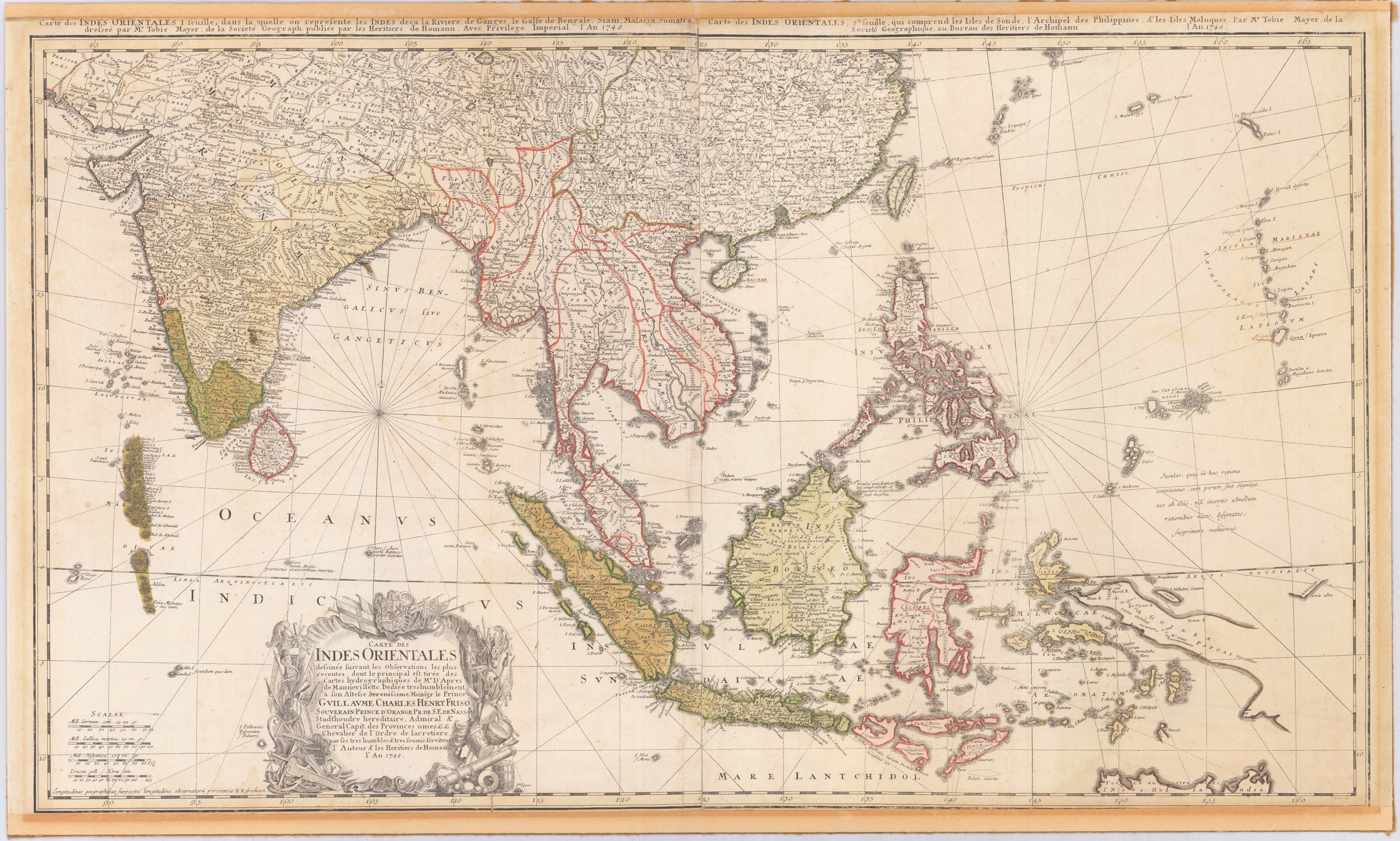
Original engraved map, printed from two plates and handcolored in wash and outline when published. A highly detailed and large map of South East Asia. Published by Homann´s Heirs and engraved after a drawing by Tobias Meyer in 1748. The left half of the map shows India with Delhi all the way to Burma, Vietnam, Laos, Malaysia, Sumatra and Singapore as well as the Maldives with the Indian Ocean. The right half of the map depicts the Philippines, Java, Borneo, Papua New Guinea and Eastern China. The title cartouche can be found on the left bottom including a dedication to the former Prince of Orange - Nassau, Wilhelm IV. Many engraved place names, mountains, rivers, lakes, political border are engraved on the map. The map was printed from two plates, these two sheets were joined together and then pasted down on cardboard. The upper margin cut close to the printed title at the top of the map, the bottom cut close to the engraved printed border line.
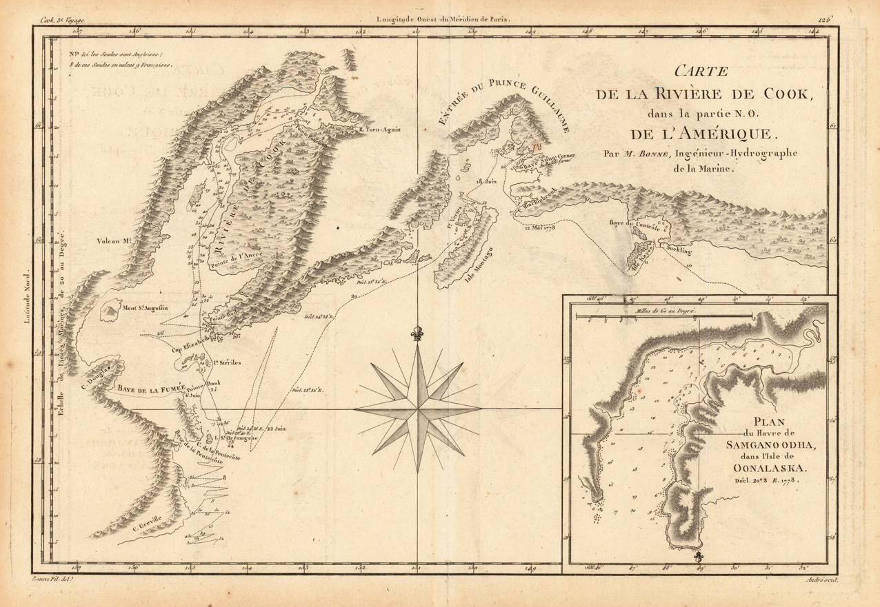
Original antique copper engraving, uncolored as published. This interesting map shows Capt. Cook's discoveries in Prince William Sound and Cook Inlet and with the track and anchor points of the Resolution. The map is inset with Plan du Havre de Samganoodha, dans l'Isle de Oonalaska. A large compass rose is engraved in the center. Rigobert Bonne (6 October 1727 – 2 September 1794) was a French cartographer, widely considered to be one of the most important cartographers of the late 18th century. In 1773 Bonne succeeded Jacques Nicolas Bellin as Royal Cartographer to France in the office of the Hydrographer at the Depôt de la Marine. Working in his official capacity, Bonne compiled some of the most detailed and accurate maps of the period. Bonne's work represents an important step in the evolution of the cartographic ideology away from the decorative work of the 17th and early 18th century towards a more detail oriented and practical aesthetic. With regard to the rendering of terrain Bonne maps bear many stylistic similarities to those of his predecessor, Bellin. However, Bonne maps generally abandon such common 18th century decorative features such as hand coloring, elaborate decorative cartouches, and compass roses. While mostly focusing on coastal regions, the work of Bonne is highly regarded for its detail, historical importance, and overall aesthetic appeal. (Wikipedia)
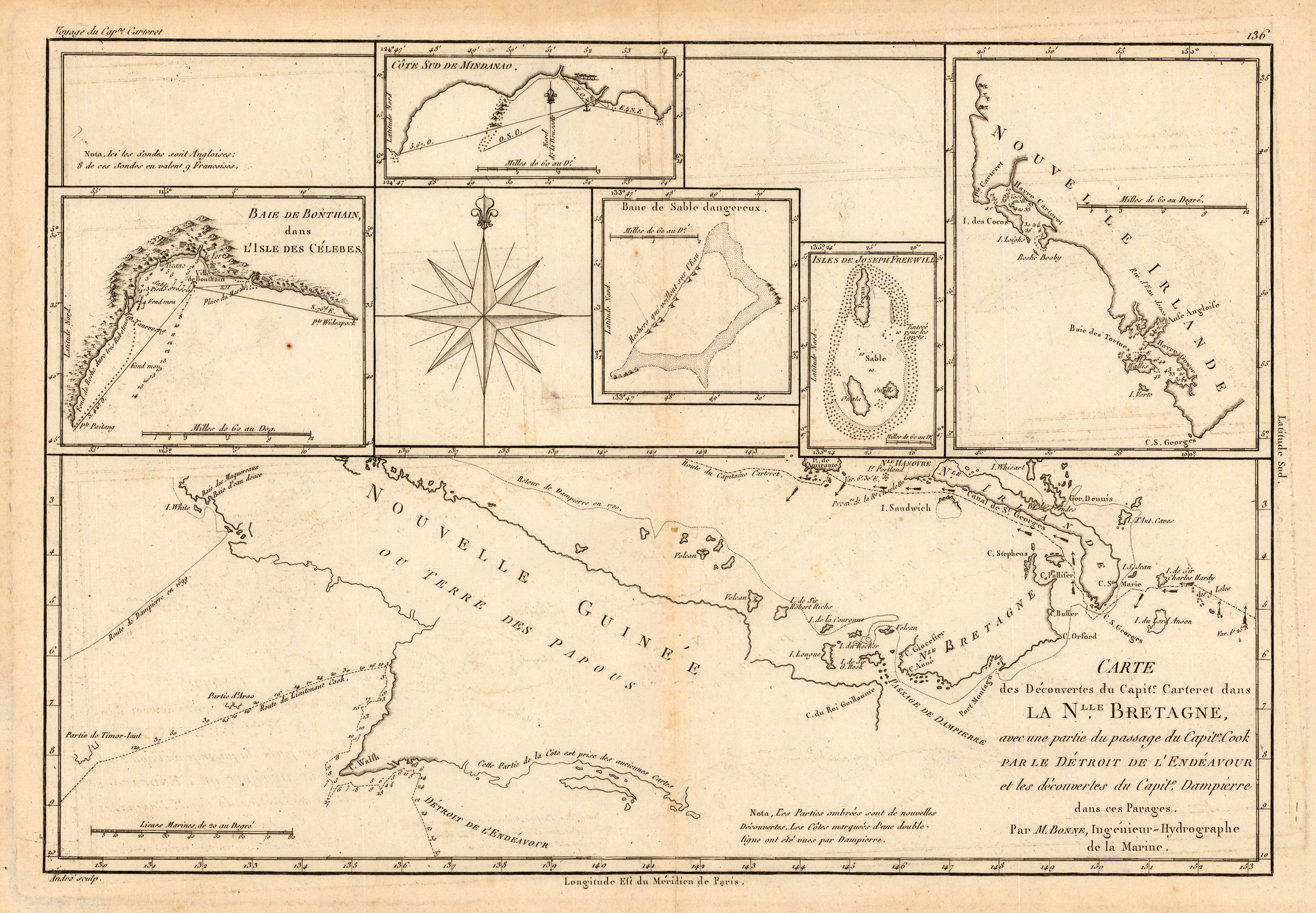
Original antique copper engraving, uncolored as published. Interesting antique map of Papua New Guinea and the regions to the West, Southern Mindanao, Joseph Freewill, New Ireland, Sable Banks and part of the Celebes. Rigobert Bonne (6 October 1727 – 2 September 1794) was a French cartographer, widely considered to be one of the most important cartographers of the late 18th century. In 1773 Bonne succeeded Jacques Nicolas Bellin as Royal Cartographer to France in the office of the Hydrographer at the Depôt de la Marine. Working in his official capacity, Bonne compiled some of the most detailed and accurate maps of the period. Bonne's work represents an important step in the evolution of the cartographic ideology away from the decorative work of the 17th and early 18th century towards a more detail oriented and practical aesthetic. With regard to the rendering of terrain Bonne maps bear many stylistic similarities to those of his predecessor, Bellin. However, Bonne maps generally abandon such common 18th century decorative features such as hand coloring, elaborate decorative cartouches, and compass roses. While mostly focusing on coastal regions, the work of Bonne is highly regarded for its detail, historical importance, and overall aesthetic appeal. (Wikipedia)
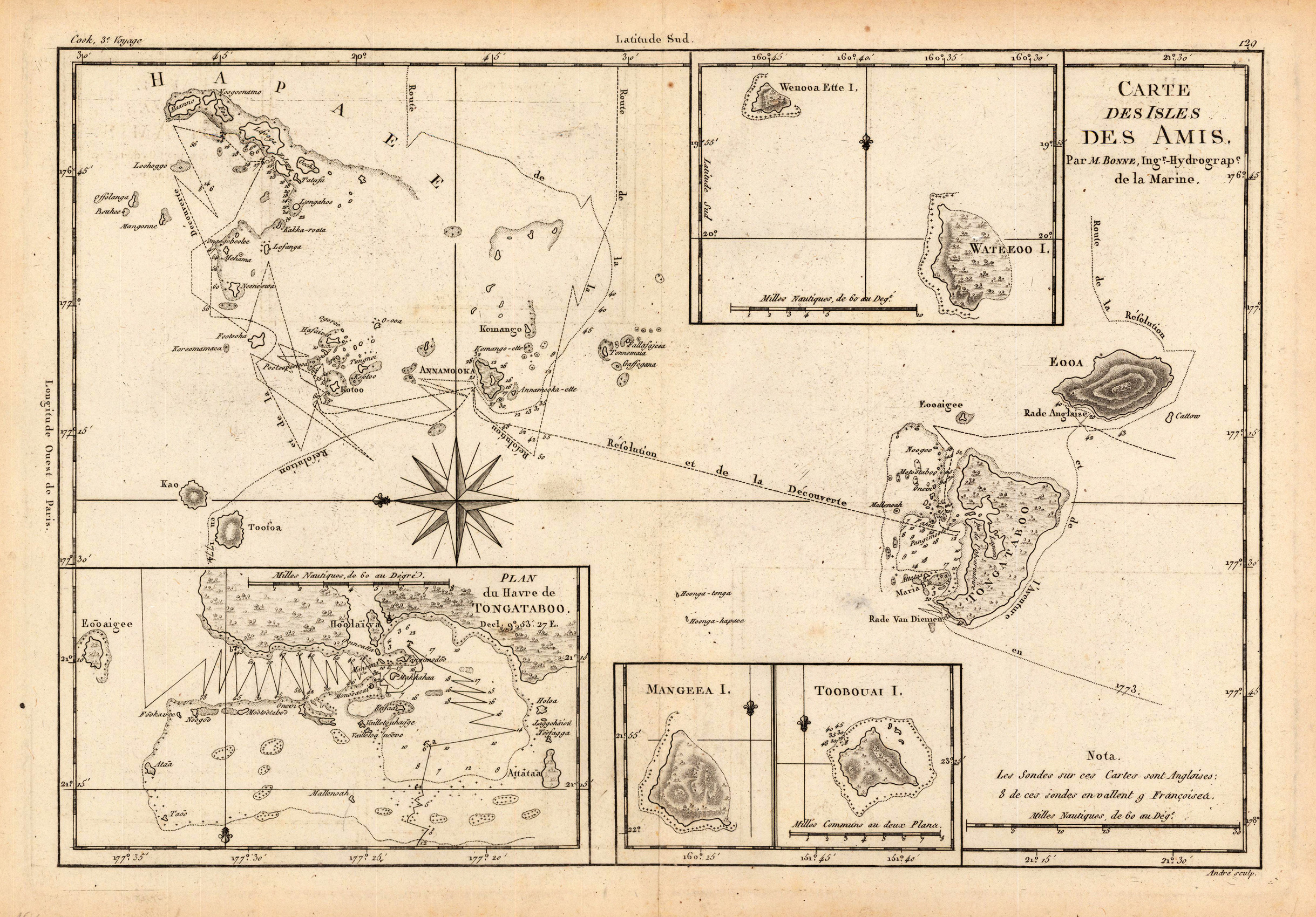
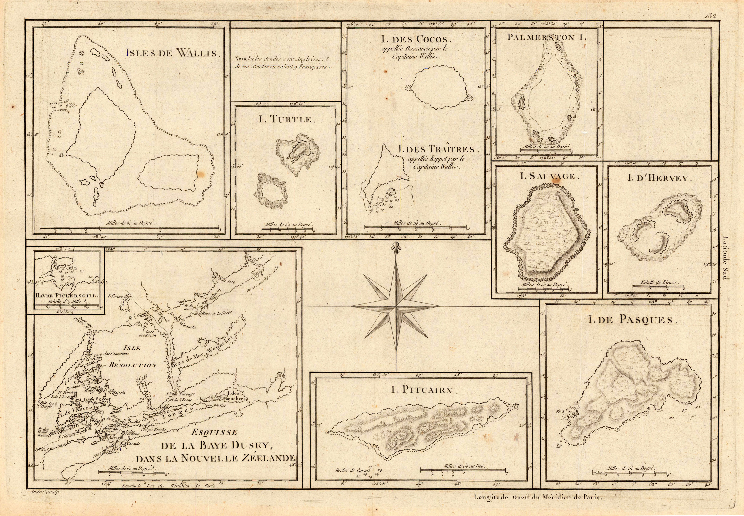
Original antique copper engraving, uncolored as published. Thist detailed plan shows du Havre de Tongataboo, Tabouai Island, Mangeea Island, Wateeoo Island, Friendly Islands (Tonga), Tongatapu Harbour, Tabuai Island, French Polynesia, Mangaia Island, ect. Rigobert Bonne (6 October 1727 – 2 September 1794) was a French cartographer, widely considered to be one of the most important cartographers of the late 18th century. In 1773 Bonne succeeded Jacques Nicolas Bellin as Royal Cartographer to France in the office of the Hydrographer at the Depôt de la Marine. Working in his official capacity, Bonne compiled some of the most detailed and accurate maps of the period. Bonne's work represents an important step in the evolution of the cartographic ideology away from the decorative work of the 17th and early 18th century towards a more detail oriented and practical aesthetic. With regard to the rendering of terrain Bonne maps bear many stylistic similarities to those of his predecessor, Bellin. However, Bonne maps generally abandon such common 18th century decorative features such as hand coloring, elaborate decorative cartouches, and compass roses. While mostly focusing on coastal regions, the work of Bonne is highly regarded for its detail, historical importance, and overall aesthetic appeal. (Wikipedia)
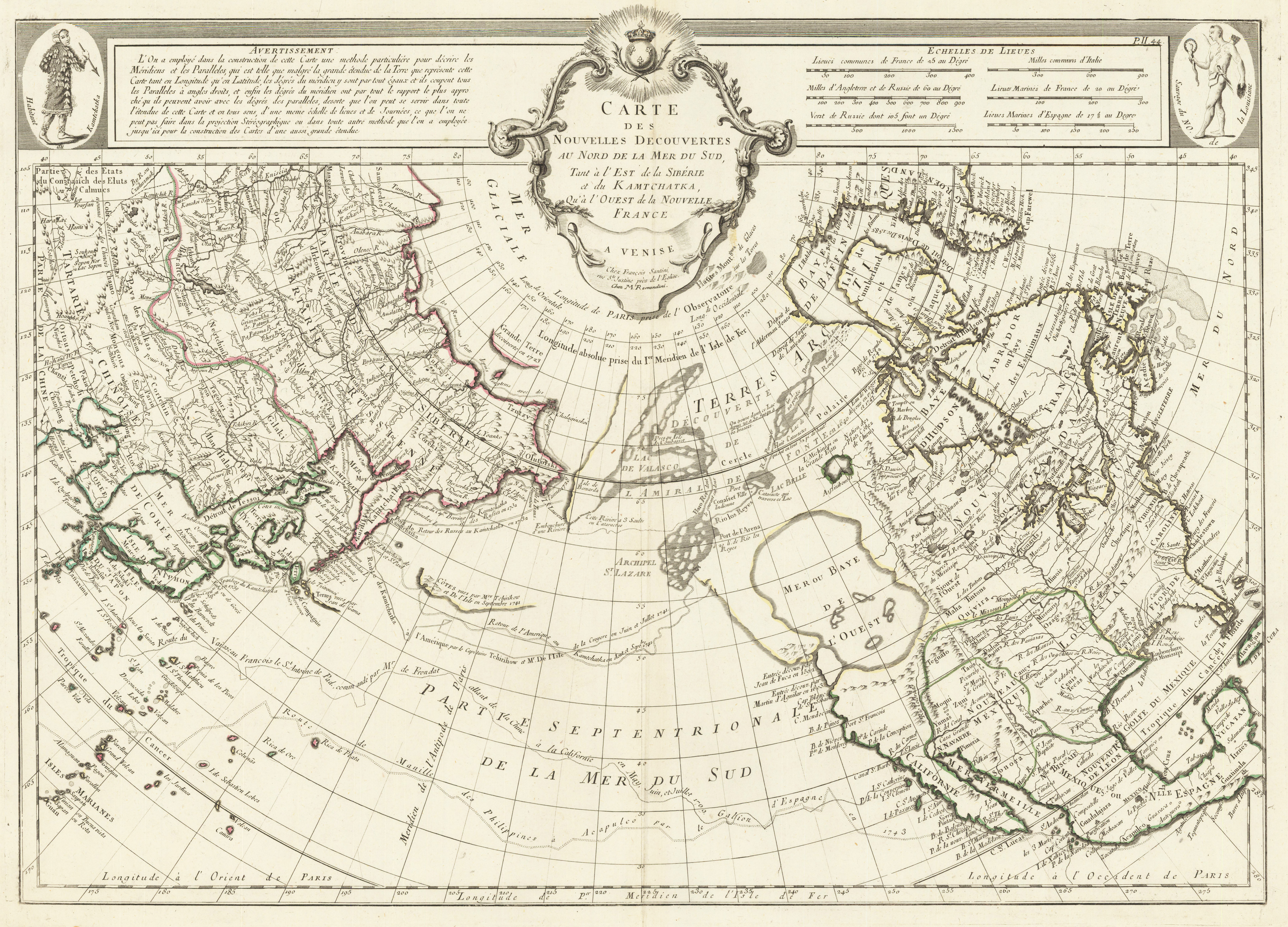
Copper engraving, hand colored in outline. A highly interesting old map for the North American continent, including a fairly unexplored Northwestcoast showing the so-called ,Sea of the West (Mer de L'Ouest)' with engraved notes on early explorations in this region (Jean de Fuca 1592 and Martin de Aguilar 1603). Further the map covers the Northern Pacific regions with engraved notes on earlier explorations. It extends towards the Asian continent with Siberia, Kamtchatka, Japan, Korea and China. This old map is equipped with lots of information on earlier explorations, it encludes place names, mountains, lakes and rivers. The map first appeared in Santini's Atlas Universel in 1776-79 in Paris. In 1784 Santini sold the plates of the maps to M. Remondini, who published then these maps in Venice with his additional imprint in the title cartouches.
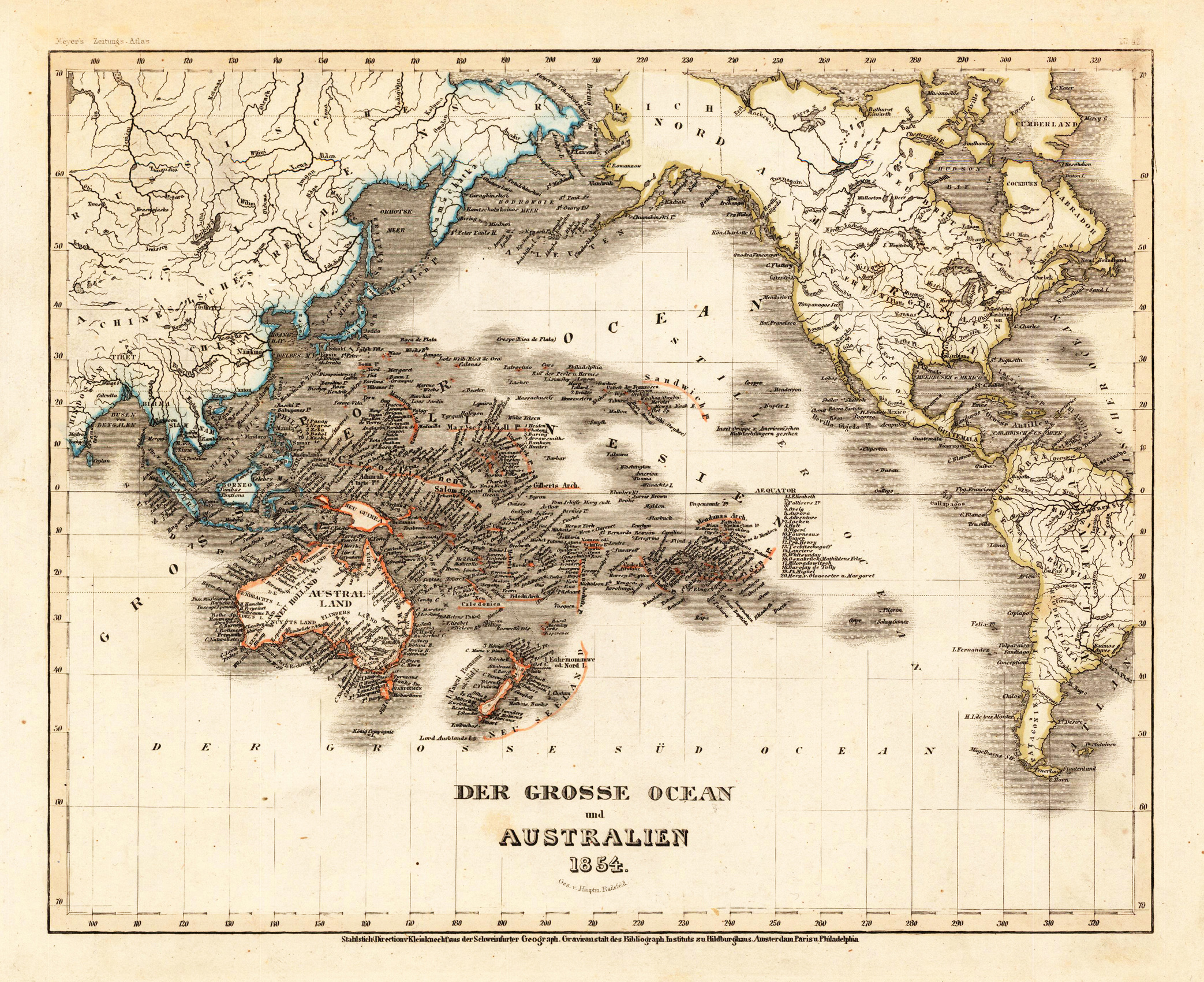
Steel engraving, hand colored in outline when published. A decorative map of Australia and the Pacific Ocean published in Meyer's famous 'Grossen Zeitungsatlas'.
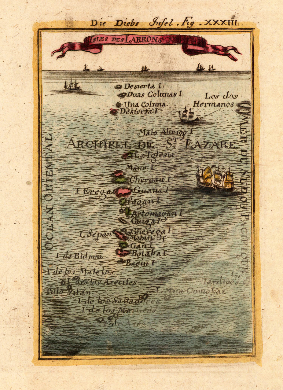
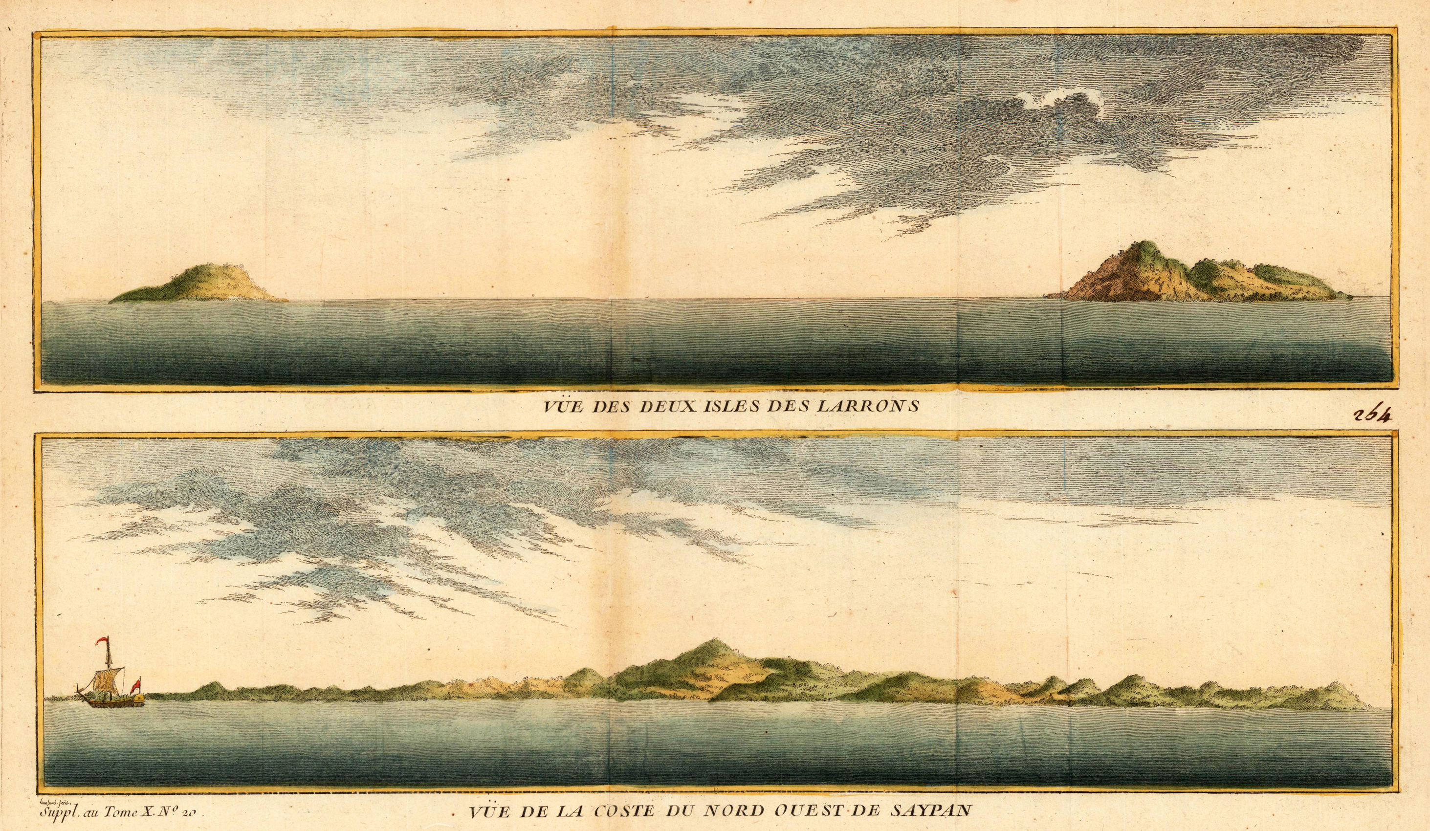
Copper-engraving, handcolored in wash and outline. Map of the Larron Islands near the Archipel de St. Lazare, also called 'the islands of thieves'. All of the engraved islands are named.
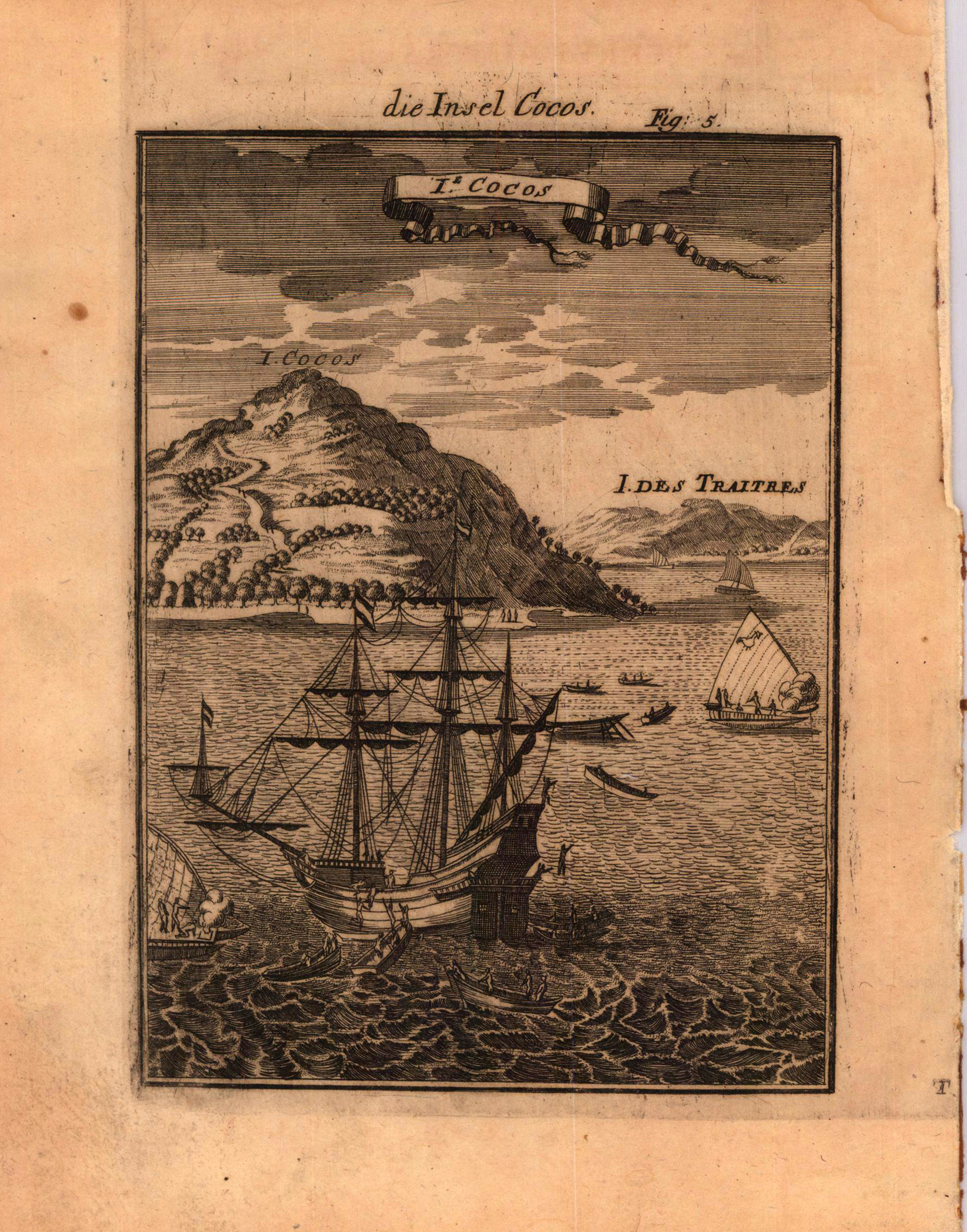
Copper engraving published in Allain M. Mallet's description of the world 'Description De L' Univers, Contenant Les Differents Systemes Du Monde, Les Cartes generales & particulieres ...'. French text edition with additional German titles on top.
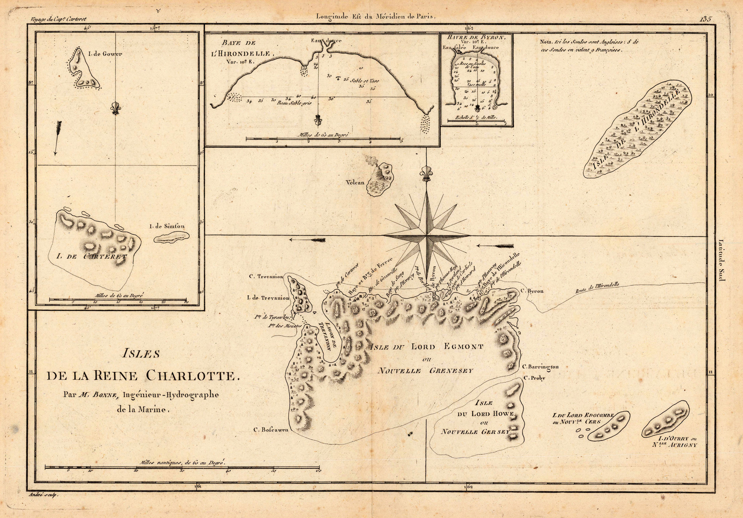
Original antique copper engraving, uncolored as published. This interesting map is based on Cook's voyages, and shows parts of the Solomon Islands group. Rigobert Bonne (6 October 1727 – 2 September 1794) was a French cartographer, widely considered to be one of the most important cartographers of the late 18th century. In 1773 Bonne succeeded Jacques Nicolas Bellin as Royal Cartographer to France in the office of the Hydrographer at the Depôt de la Marine. Working in his official capacity, Bonne compiled some of the most detailed and accurate maps of the period. Bonne's work represents an important step in the evolution of the cartographic ideology away from the decorative work of the 17th and early 18th century towards a more detail oriented and practical aesthetic. With regard to the rendering of terrain Bonne maps bear many stylistic similarities to those of his predecessor, Bellin. However, Bonne maps generally abandon such common 18th century decorative features such as hand coloring, elaborate decorative cartouches, and compass roses. While mostly focusing on coastal regions, the work of Bonne is highly regarded for its detail, historical importance, and overall aesthetic appeal. (Wikipedia)
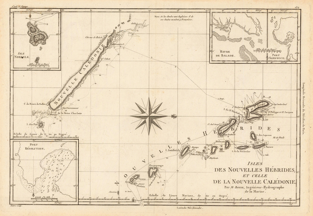
Original antique copper engraving, uncolored as published. This decorative map of New Caledonia and Vanuatu shows track of Cook's second voyage. Rigobert Bonne (6 October 1727 – 2 September 1794) was a French cartographer, widely considered to be one of the most important cartographers of the late 18th century. In 1773 Bonne succeeded Jacques Nicolas Bellin as Royal Cartographer to France in the office of the Hydrographer at the Depôt de la Marine. Working in his official capacity, Bonne compiled some of the most detailed and accurate maps of the period. Bonne's work represents an important step in the evolution of the cartographic ideology away from the decorative work of the 17th and early 18th century towards a more detail oriented and practical aesthetic. With regard to the rendering of terrain Bonne maps bear many stylistic similarities to those of his predecessor, Bellin. However, Bonne maps generally abandon such common 18th century decorative features such as hand coloring, elaborate decorative cartouches, and compass roses. While mostly focusing on coastal regions, the work of Bonne is highly regarded for its detail, historical importance, and overall aesthetic appeal. (Wikipedia)
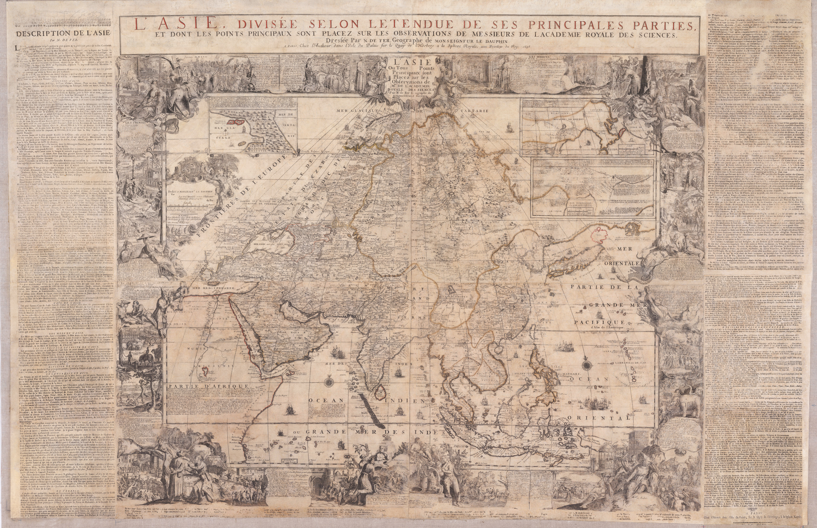
Original antique copper engraving, hand colored in outline when published. Carefully restored and mounted on linen. This gigant wall map was first published in 1696. Present is here the edition from 1698, the actual map was printed from 4 plates. Additional plates were used for the title text on top of the map and other plates for the printed letter press text around the actual engraved map. This large wall map of Asia is equipped with a decorative title cartouche "L Asie Ou Tous les Points Principaux sont Placez sur les Observations des Mrs. De l Academie Royale des Sciences." The cartouche to the left dedicates the map to Louis of France, Le Grand Dauphin. It is further equipped with lots of decorations, allegorical scenes with inhabitants and animals, plants and memorable landscapes of the various countries in the Asian continent. With these decorative allegoric scenes the cartographer wanted to provide to the viewer of the map information about the culture and the people of these so foreign countries in the world. At the top three inset maps were included: Nova Zembla and the Arctic around Spitzbergen, Tartary and a part of China based on the travels of the Jesuits M. Martini and F. Verbiest in China. The map also nicely depicts India, Sumatra, Indonesia, Thailand, the Phillipines and of course it also gives information on the relativly unexplored Pacific Ocean towards the Larron or Marrian Islands; close to the Moluccos Islands it names,Terre de Papous' and,Nouvelle Zeelande' close together. Also the Phillipines are quite well shown, Manila is named on the map. Of course we find in all parts of the sea compass roses and all sorts of sailing ships, some them with firing canons. Overall large wall maps were mostly used and therefore mounted on linen to display them in a comfortable way. The disadvantage was, that mostly these wall maps have suffered, because they were used too much and moved all the time. Therefore, the overall condition of these oversized maps is usually relatively poor and accompanied by massive signs of wear. Our paper restorer was able to detach the actual map from its old cloth with a lot of work and time and has put it then back on new acid-free cloth. The map also featured older wooden hanging poles, these were reused. Parts of the text have been partially reproduced or supplemented as far as possible. All in all, a wall map was created for further generations, which will now survive today's viewer by many years. Nicolas de Fer (1646 – 25 October 1720) was a French cartographer and geographer. He also was an engraver and publisher. His works focused more on quantity than quality, there were often geographical errors, and they were more artistic than accurate. De Fer was the youngest of three sons of Antoine de Fer, who was also a cartographer. When he was 12, he became the apprentice of Parisian engraver Louis Spirinx, and made his first map, of the Canal du Midi, at the age of 23. After the death of his father in June 1673, his mother Geneviève initially took over the map making company, which had begun to decline. She passed it and the atelier, called Quai de L'Horloge, on to Nicolas in 1687 because of her old age. De Fer was so successful at improving the firm that, in 1690, he became the official geographer to Louis, Dauphin of France. With support from the Spanish and French royal families, de Fer also became official geographer for Philip V and Louis XIV, the kings of Spain and France, respectively.[3][5] Because of this, his maps became Bourbon propaganda, endorsing French King Louis XIV. His business flourished, producing town plans, atlases, wall maps, and more than 600 sheet maps. He made maps of places in Europe and North America, including New Spain,places fortified by Vauban,the Low Countries, and the War of the Spanish Succession. In 1698, de Fer published a map of North America, which included a depiction of beavers building dams near Niagara Falls. Seventeen years later, Herman Moll published a map which plagiarized elements of de Fer's work, particularly the beaver scene. It became known as the "Beaver map". De Fer became the official geographer for The King of Spain in 1720. Two of his sons-in-law, Guillaume Danet and Jaques-François Bénard, continued the company after de Fer's death on 25 October of that year until around 1760 (Wikipedia).
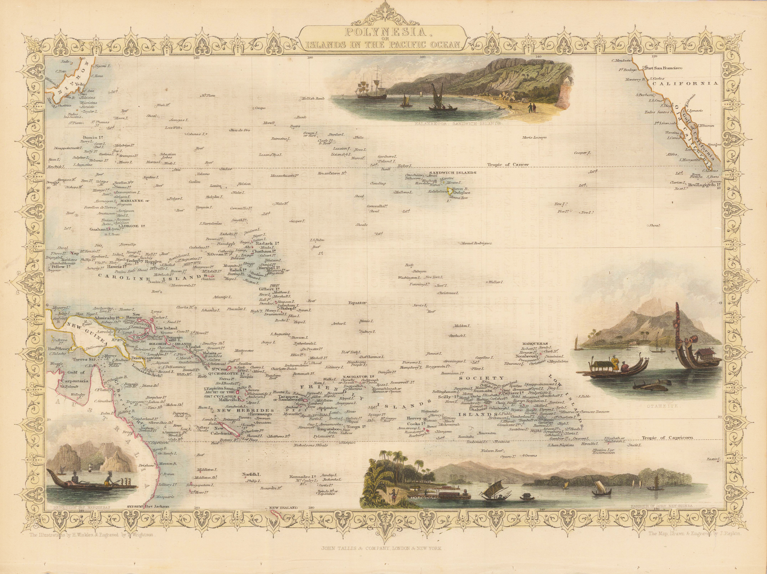
Original steel engraving, original color. Steel engraving, hand colored in outline and wash. Decorative antique map Polynesia with some beautiful vignettes of ports, ships and fishermen. Detailed map with many place names, rivers, mountains, etc. John Tallis (7 November 1817 – 3 June 1876) was an English cartographic publisher. His company, John Tallis & Company, published views, maps and atlases in London from roughly 1838 to 1851. Tallis set up as a publisher with Frederick Tallis in Cripplegate in 1842; the business moved to Smithfield in 1846, and was dissolved in 1849. From 1851 to 1854 Tallis operated as John Tallis & Company. He started the Illustrated News of the World which issued engraved portraits as supplements in a series entitled 'National Portrait Gallery of eminent personages' in 1858, selling it for £1,370 in 1861; it folded in 1863. The series was subsequently republished in a number of separate volumes. He lived in New Cross, South East London. His house on New Cross Road is listed as a Building of Special Architectural or Historic Interest, grade II. It has a blue plaque on the wall to signal the event. (Wikipedia)
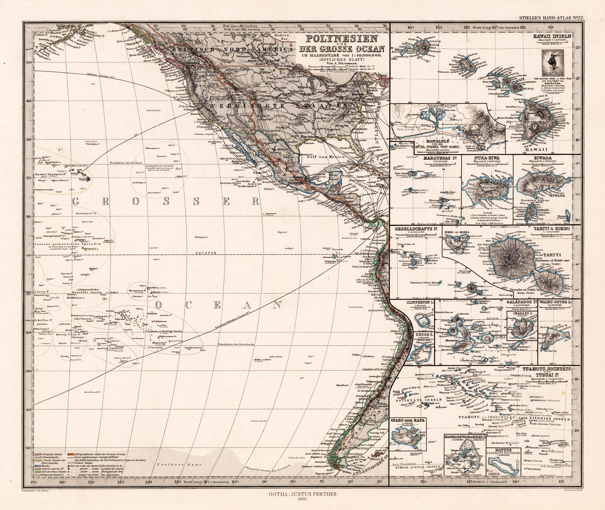
Original lithograph, hand colored in outline and wash when published. Detailed map showing the Pacific with the westcoast of the Americas. The political borders of these regions are shown on the map in different outline colors. A detailed map of the Pacific, which is showing as well sea routes from California to Australia.
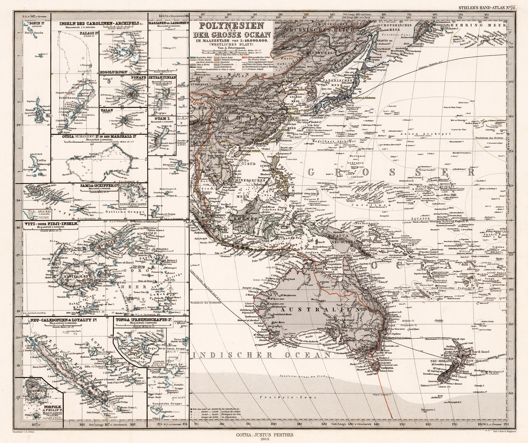
Original lithograph, handcolored in outline and wash when published. Detailed map showing the Pacific with Polynesia, Australia, New Zealand, Melanesia and Micronesia providing an ethnographic overview by Dr. G. Gerland. The political borders of these regions are shown on the map in different outline colors. A detailed map of the Pacific, which is showing as well sea routes from California to Australia.