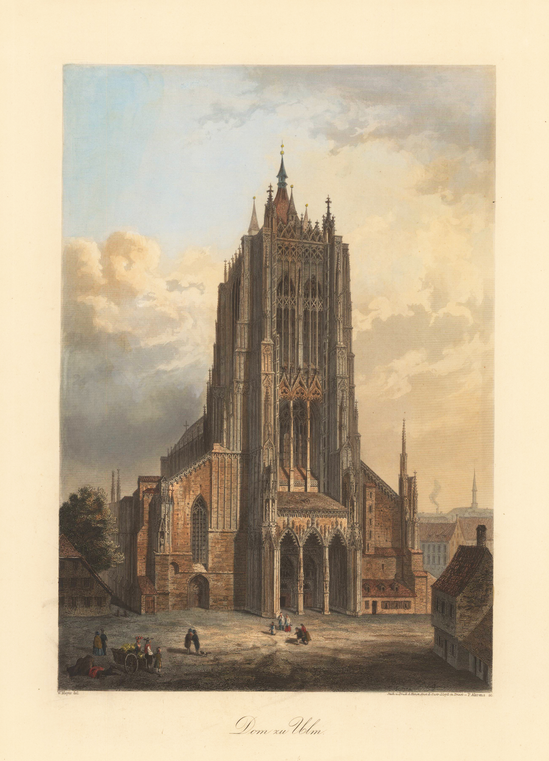
Original antiker Stahlstich, handkoloriert. Ansicht des gotischen Münsters in Ulm, das ab 1377 erbaut und 1890 vollendet wurde. Unterhalb der Darstellung mittig betitelt „Dom zu Ulm", sowie um die Angaben "W. Mayer del." unten links und "Stich u. Druck d. Kunst Anst. d. Oestr. Lloyd in Triest - P. Ahrens sc." unten rechts versehen.
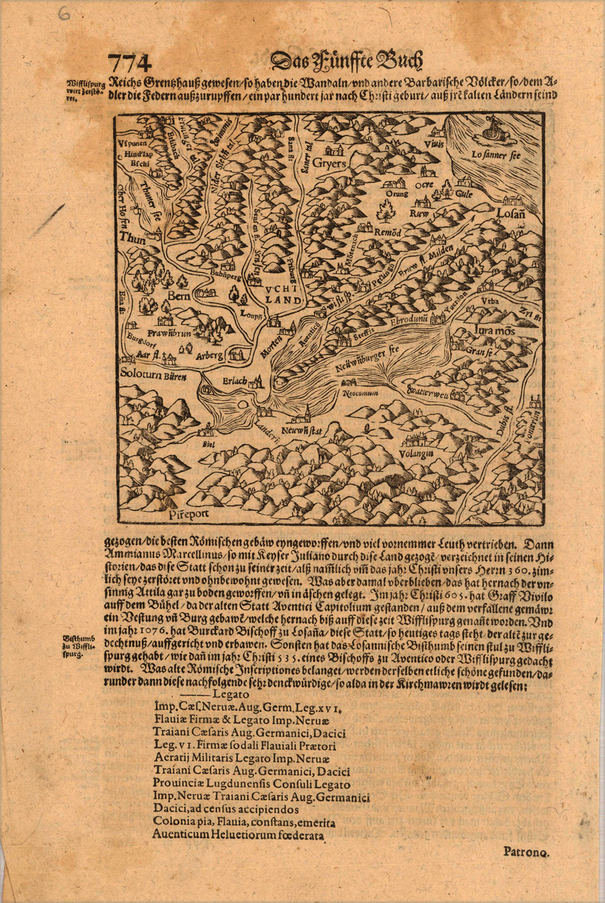
Small woodcut, published in Sebastian Münster's 'Cosmographia' around 1628. German text edition. This decorative early woodcut map shows lake Neuenburger in Switzerland.
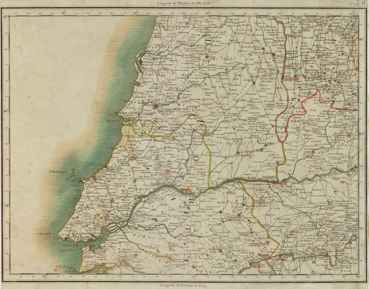
Copper-engraving, handcolored in outline when published. Detailed regional map showing Lisboa and the region north and east of it. With many place names, streets, rivers, etc.
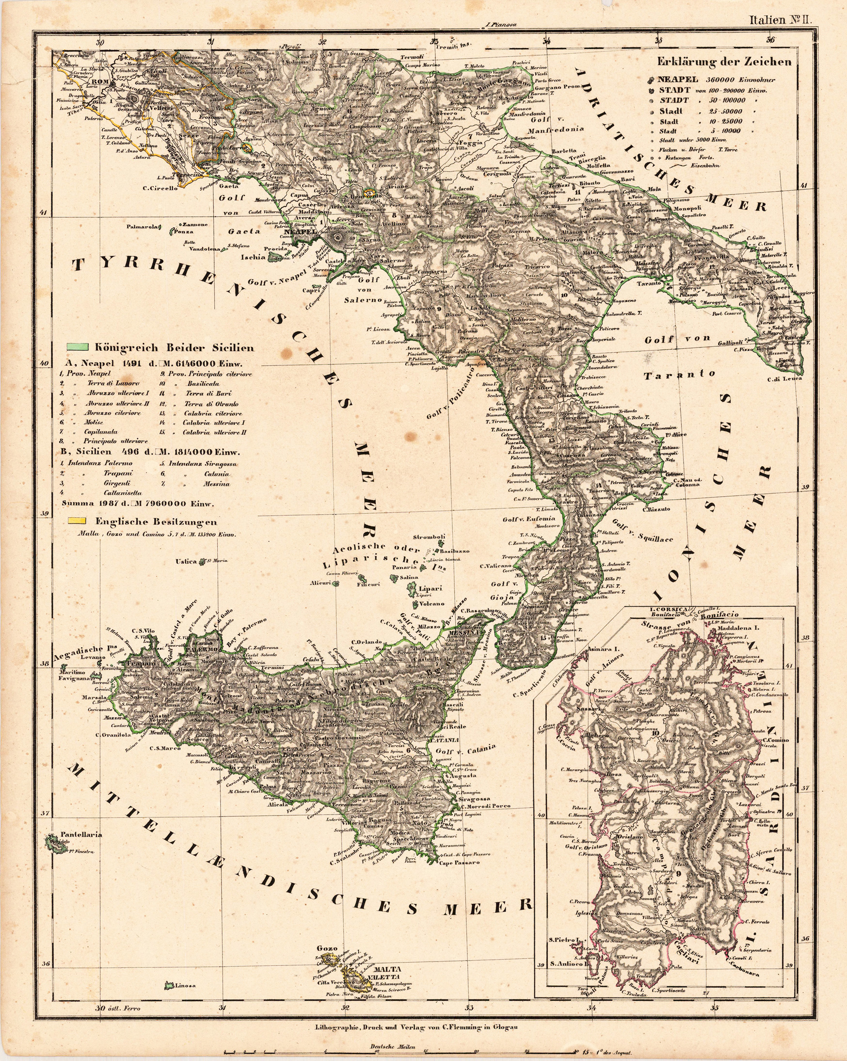
Original lithograph, hand colored in outline when published. Detailled map is showing the kingdom of Naples, Sicily, Malta and the kingdom of Sardegnia drawn by F. Handtke. With many place names, rivers, mountains and streets. At the left side a table of explanations.
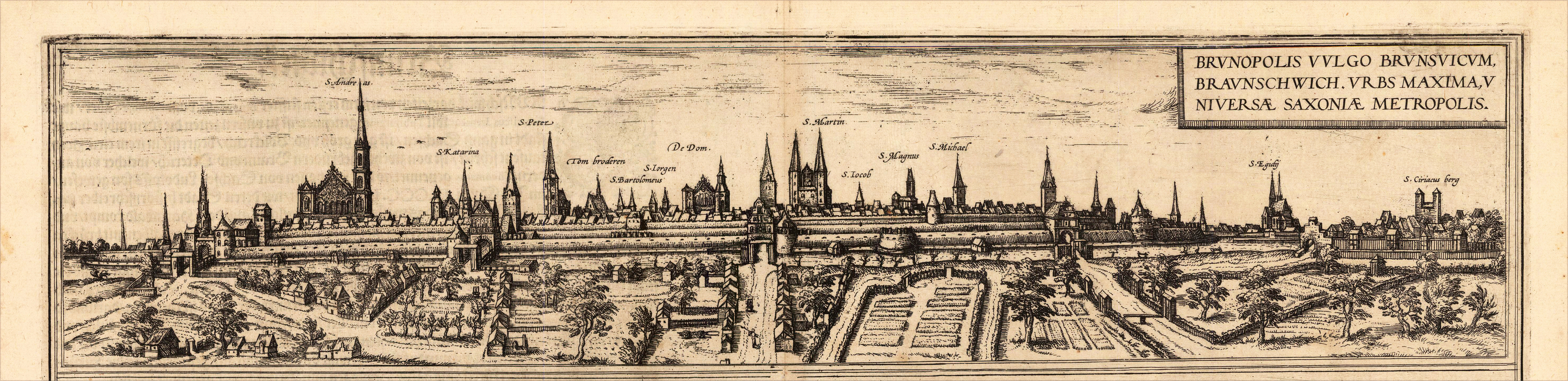
Original copper-engraving, handcolored in wash, published 1617 in the townbook 'Civitates Orbis Terrarum' by Braun and Hogenberg. The entire series of the 'Civitates Orbis Terrarum' comprised six volumes and was published and printed from 1572 towards 1619. Dargestellt wird die Stadt Braunschweig in Niedersachsen als Panoramaansicht mit der alten Stadtmauer und Ansiedlungen mit Gärten im Vordergrund. The city of Braunschweig in Lower Saxony is shown as a panoramic view with the old city wall and settlements with gardens in the foreground. Georg Braun (also Brunus, Bruin; 1541 – 10 March 1622) was a topo-geographer. From 1572 to 1617 he edited the Civitates orbis terrarum, which contains 546 prospects, bird's-eye views and maps of cities from all around the world. He was the principal editor of the work, he acquired the tables, hired the artists, and wrote the texts. He died as an octogenarian in 1622, as the only survivor of the original team to witness the publication of volume VI in 1617. Braun was born and died in Cologne. His principal profession was as a Catholic cleric. However, he spent thirty-seven years as canon and dean at the church, St. Maria ad Gradus, in Cologne. His six-volume work was inspired by Sebastian Münster's Cosmographia. In form and layout it resembles the 1570 Theatrum orbis terrarum by Abraham Ortelius, as Ortelius was interested in a complementary companion for the Theatrum. The Braun publication set new standards in cartography for over 100 years. Frans Hogenberg (1535–1590, from Mechelen) created the tables for volumes I through IV, and Simon van den Neuwel created those for volumes V and VI. Other contributors were Joris Hoefnagel, Jacob Hoefnagel, cartographer Daniel Freese, and Heinrich Rantzau. Works by Jacob van Deventer, Sebastian Münster, and Johannes Stumpf were also used. Primarily European cities are depicted in the publication; however, Cairo Casablanca and Mexico City as well as Cuzco on one sheet are also included in volume I, whereas Tunis is featured in volume II. Frans Hogenberg (1535–1590) was a Flemish and German painter, engraver, and mapmaker. Hogenberg was born in Mechelen in Flanders as the son of Nicolaas Hogenberg. In 1568 he was banned from Antwerp by the Duke of Alva and travelled to London, where he stayed a few years before emigrating to Cologne. He is known for portraits and topographical views as well as historical allegories. He also produced scenes of contemporary historical events. Hogenberg died in Cologne. (Wikipedia)
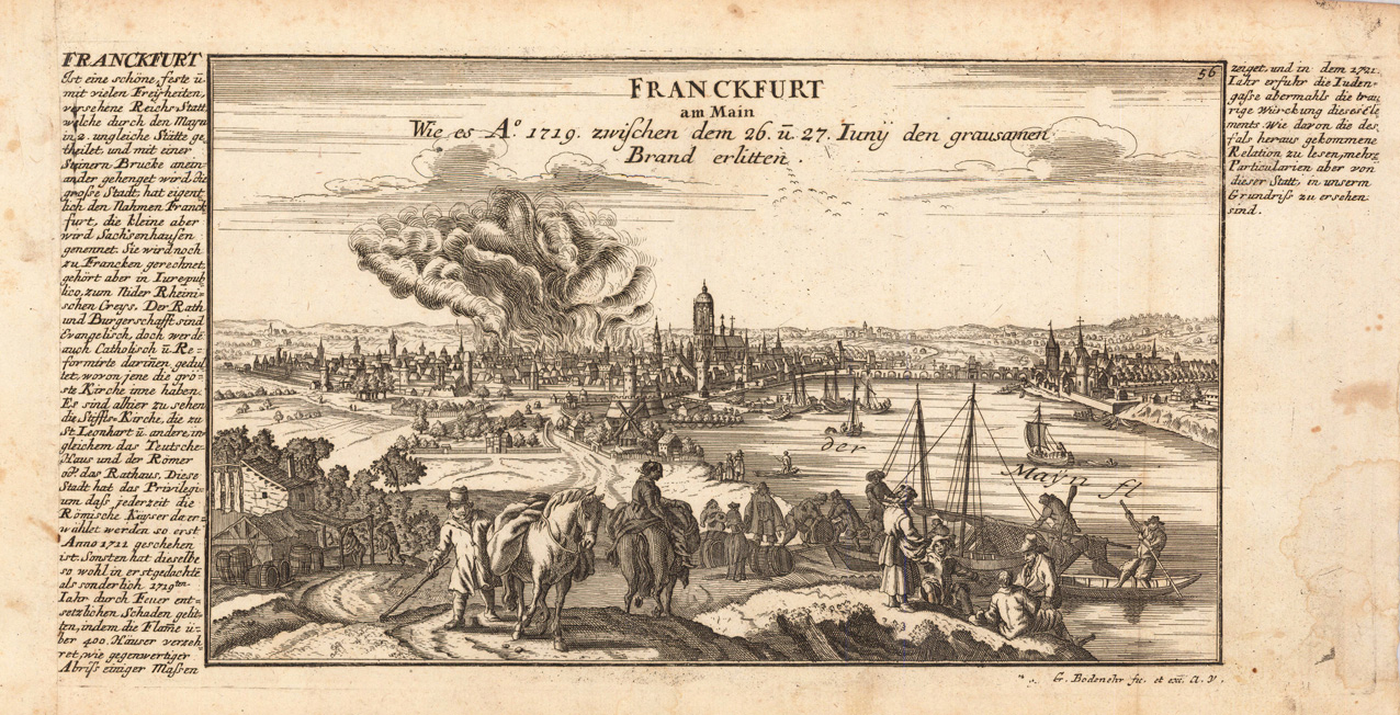
Copper engraving, uncolored as published. This fine engraving was published in Gabriel Bodenehr's famous serious "Europeans Macht und Pracht", a series of engravings depicting city views, plans, fortresses and castles in Europe. Many plates often are showing fortifications in Hungary and Southeast Europe, Spain, Belgium, Austria and Germany. Gabriel Bodenehr was during this period a successful publisher for maps and prints in Augsburg in Southern Germany.
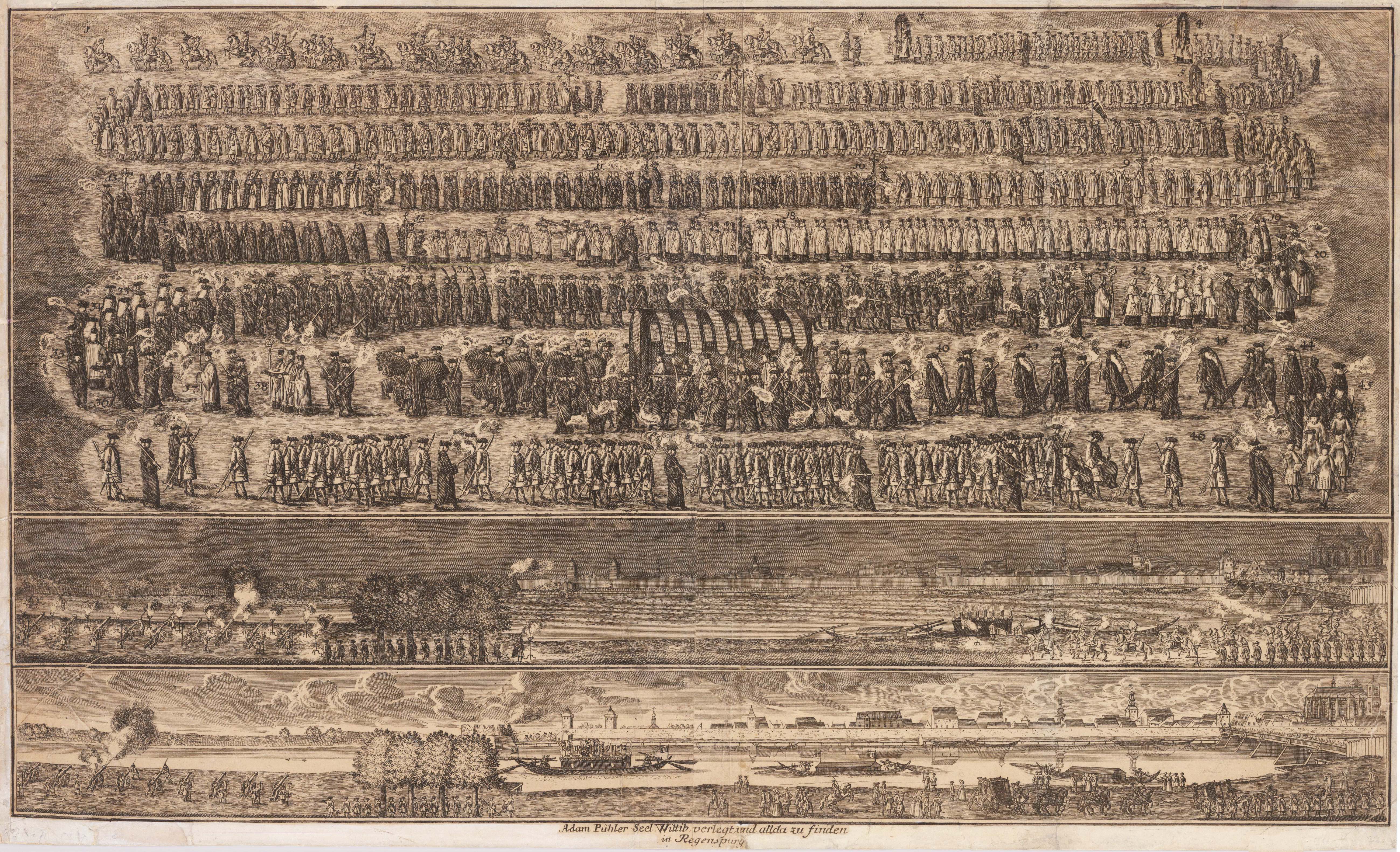
Original Kupferstich, unkoloriert. Seltener Einblattdruck ohne den vierspaltigen Text. Dargestellt wird das Leichenbegängnis des Prinzipalkommisars Christian August, Herzog von Sachsen welcher am 23. August 1725 in seiner Residenz bei St. Emmeram verstarb.
Original antique copper engraving. This copper engraving was published in the famous atlas of Bavaria by Georg Philipp Finckh in 1680. Finckh published a large oversize map of Bavaria based on the cartographic source of the woodcut map by Philipp Apian.
Copper engraving, hand colored in outline when published. This copper engraving was published in the famous atlas of Bavaria by Georg Philipp Finckh in 1671. Finckh published a large oversize map of Bavaria based on the cartographic source of the woodcut map by Philipp Apian. This is the engraved version in a reduced size of Apian's sheet no.19 showing the area between Mühldorf and Braunau, in the north towards Arnstorf in lower bavaria (Arnstorf in Niederbayern). A highly detailed 17th century map for this area.
Original antique copper engraving. This copper engraving was published in the famous atlas of Bavaria by Georg Philipp Finckh in 1671. Finckh published a large oversize map of Bavaria based on the cartographic source of the woodcut map by Philipp Apian.
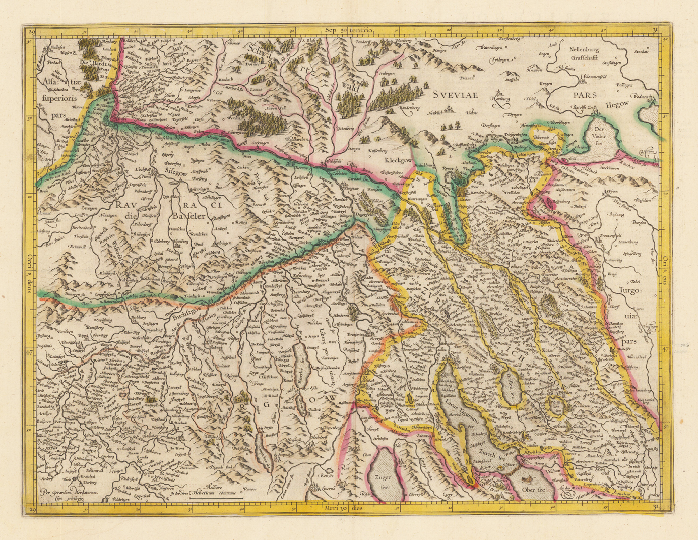
Original Kupferstichkarte, in zeitgenössischem Grenzkolorit. Dekorative altkolorierte Kupferstichkarte des südwestlichen Teils der Schweiz mit dem Zürichgau und der Provinz Basel. Die Kupferstichkarte erschien erstmals bei Gerard Mercator 1595 und dann in verschiedenen Ausgaben bis 1649. Dieses Exemplar stammt aus der französischen Textausgabe von 1628 gedruckt u. verlegt in Amsterdam. Detaillierte Karte mit eingezeichneten Städten, kleineren Orten, Flüssen, Seen, Wäldern und Bergen. Links unten mit dem Privileg ,Per Gerardum Mercatorem. Cum privilegio'.
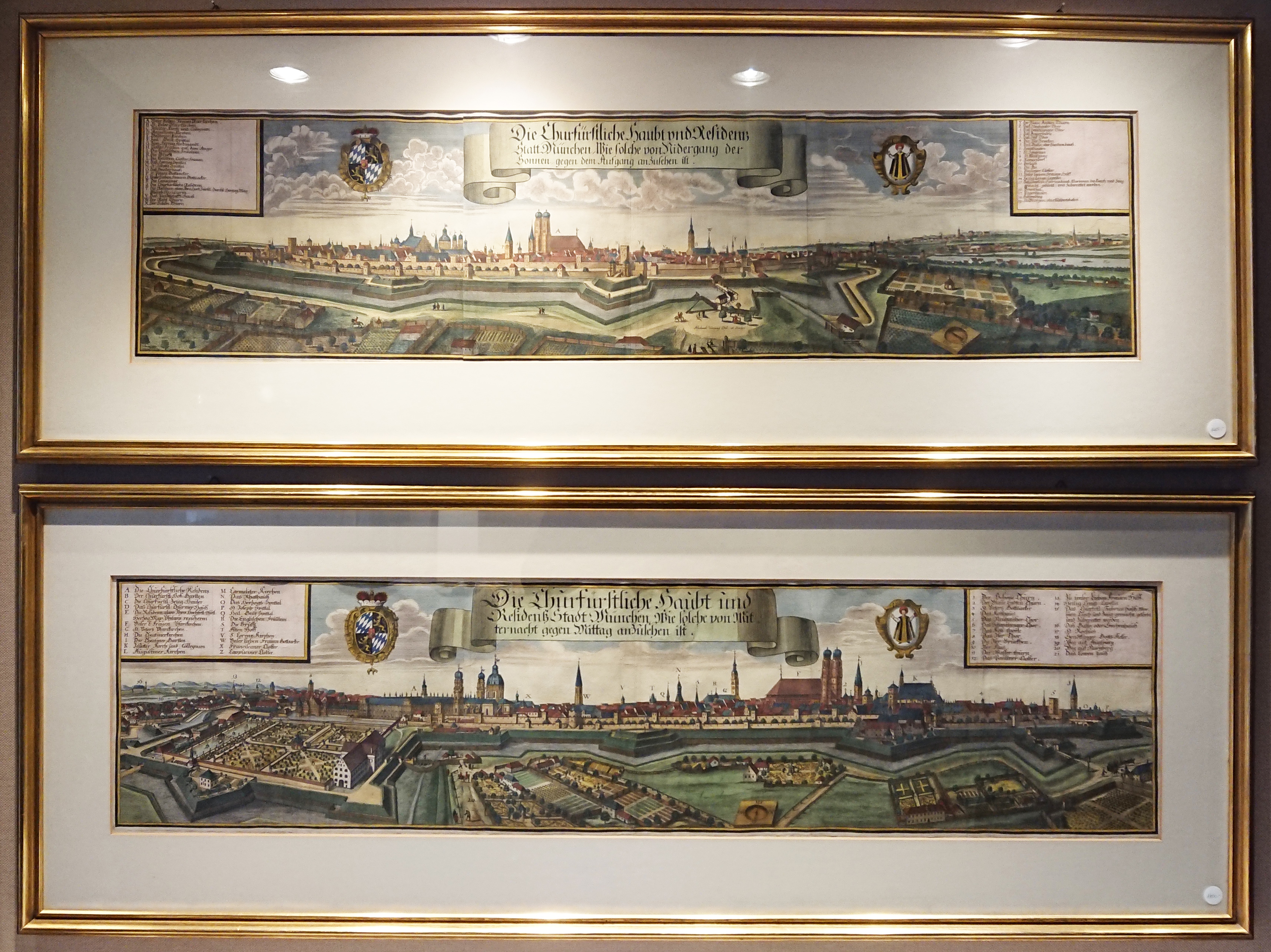
Zwei gerahmte original antike Kupferstiche, in wunderschönem handkoloriert, gestochen von Michael Wening. Prachtvolle Gesamtansicht von München aus der Vogelschau dargestellt und zeigt die Stadt einmal von Osten und einmal von Westen, mit der Festungsanlage und den von Wallanlagen eingefassten Hofgarten. Mit großer Rollwerkkartusche flankiert von den Wappen Münchens und Bayerns. Links und rechts in den Ecken mit ausführlicher Legende.
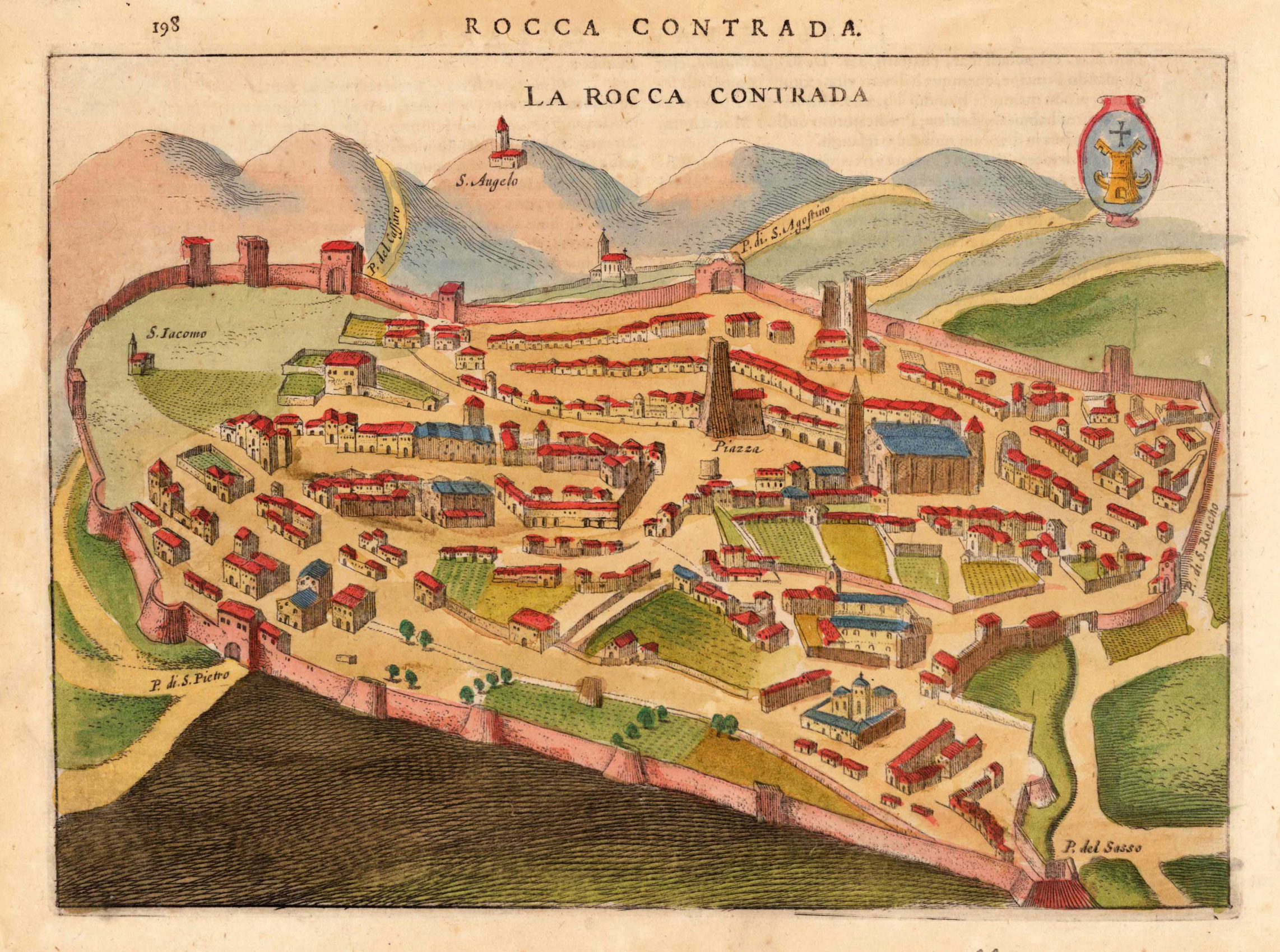
Copper engraving, finely hand colored. This historic city view of Rocca Contrada shows the old fortified town with its walls and its nearby surrounding as a bird's eye view. Streets, places, towers, churches, etc. are detailed shown. This rare historic town view was engraved by Jodocus Hondius and was published in this rare combination of an atlas and town book 'Nova et Accurata Italiae Hodiernae Descriptio ...' for the first time in 1627. This city view is decorative ornated with a renaissance title cartouche. Further this antique print is highly decorative engraved and some of the town views from 'Nova et Accurata Italiae ...' are engraved after earlier city views from the famous series 'Civitates Orbis Terrarum' by Braun & Hogenberg. Also they are occasionally ornated with rural figures in the foreground, a coat of arms, ships or a decorative landscape. This antique print is finely hand colored in wash and outline. Printed on good paper on the full sheet as published.
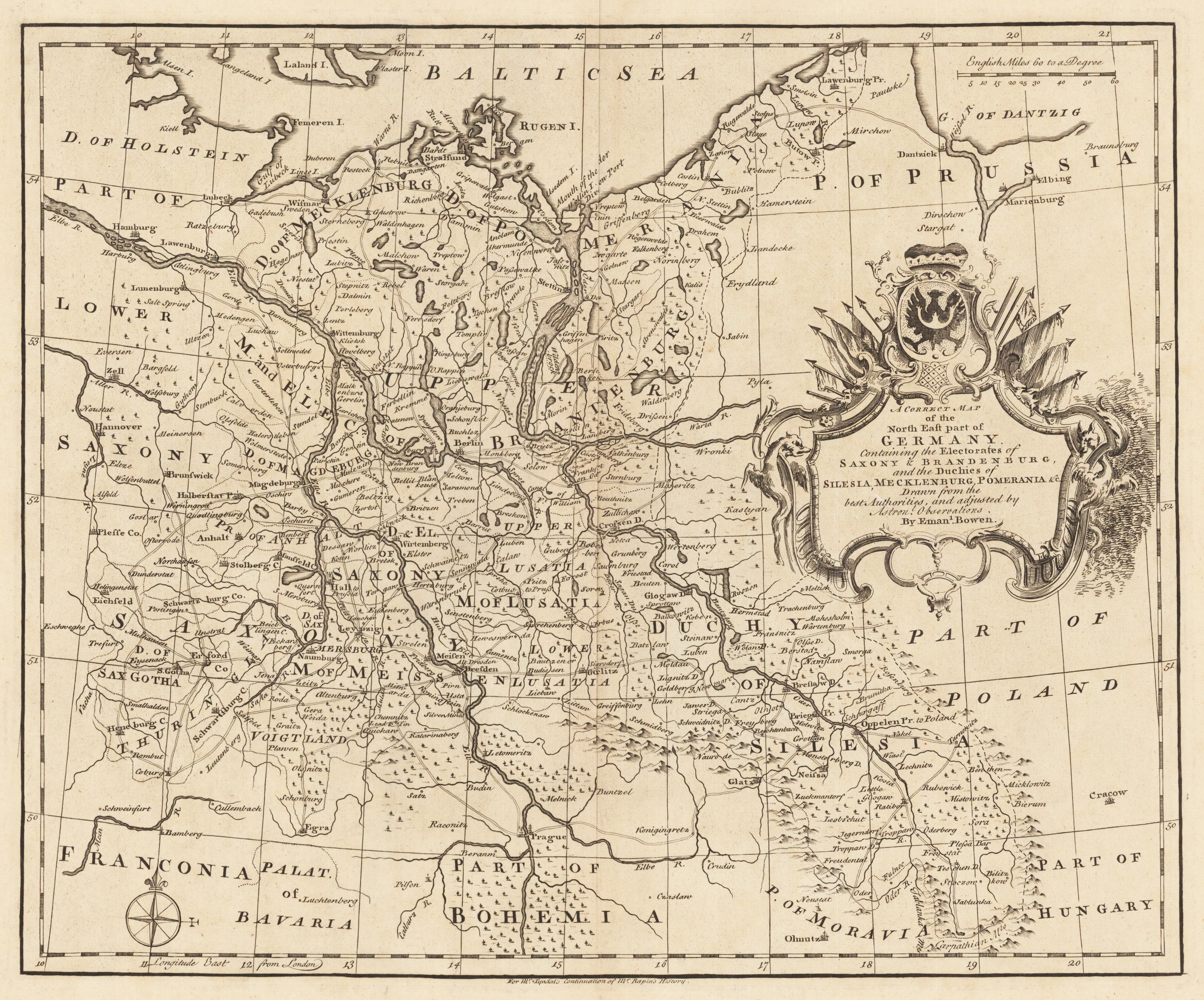
Original Kupferstich, unkoloriert erschienen. Dargestellt wird der nordöstliche Teil Deutschlands mit Teilen von Preussen, Polen, Ungarn, Böhmen und Bayern. Die sehr dekorative Kartusche befindet sich auf der rechten Kartenseite mittig. Der Meilenzeiger ist im rechten oberen Eck angebracht und links unten finden wir eine Kompassrose.
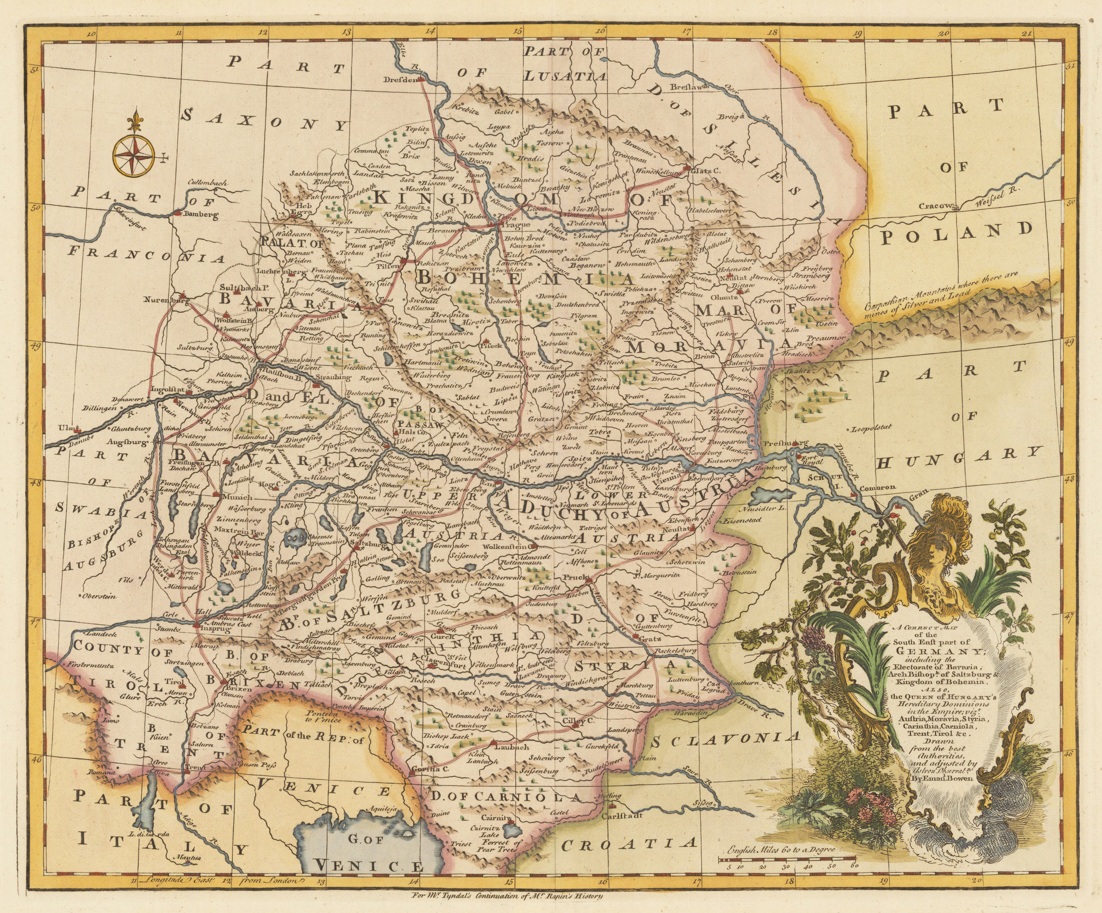
Original handkolrierter Kupferstich. Dargestellt wird der südöstliche Teil Deutschlands mit Teilen von Polen, Ungarn, Slovenien, Kroatien, Italien. Die sehr dekorative Kartusche und der Meilenzeiger befinden sich im rechten unteren Eck und eine kleine Kompassrose ist im linken oberen Eck eingraviert.

![[S. Rom. Imperii Circuli et Electoratus Bavariae Tabula Chorographica No. 15]](https://bergbook-sw6.1drop.dev/media/62/ac/bc/1713265706/32747.jpg "32747")
![[S. Rom. Imperii Circuli et Electoratus Bavariae Tabula Chorographica No. 19]](https://bergbook-sw6.1drop.dev/media/7d/2c/69/1713265739/281355b0e5f13d38f5.jpg "281355b0e5f13d38f5")
![[S. Rom. Imperii Circuli et Electoratus Bavariae Tabula Chorographica No. 20]](https://bergbook-sw6.1drop.dev/media/e2/ce/00/1713265393/308205b0e5ca851094.jpg "308205b0e5ca851094")