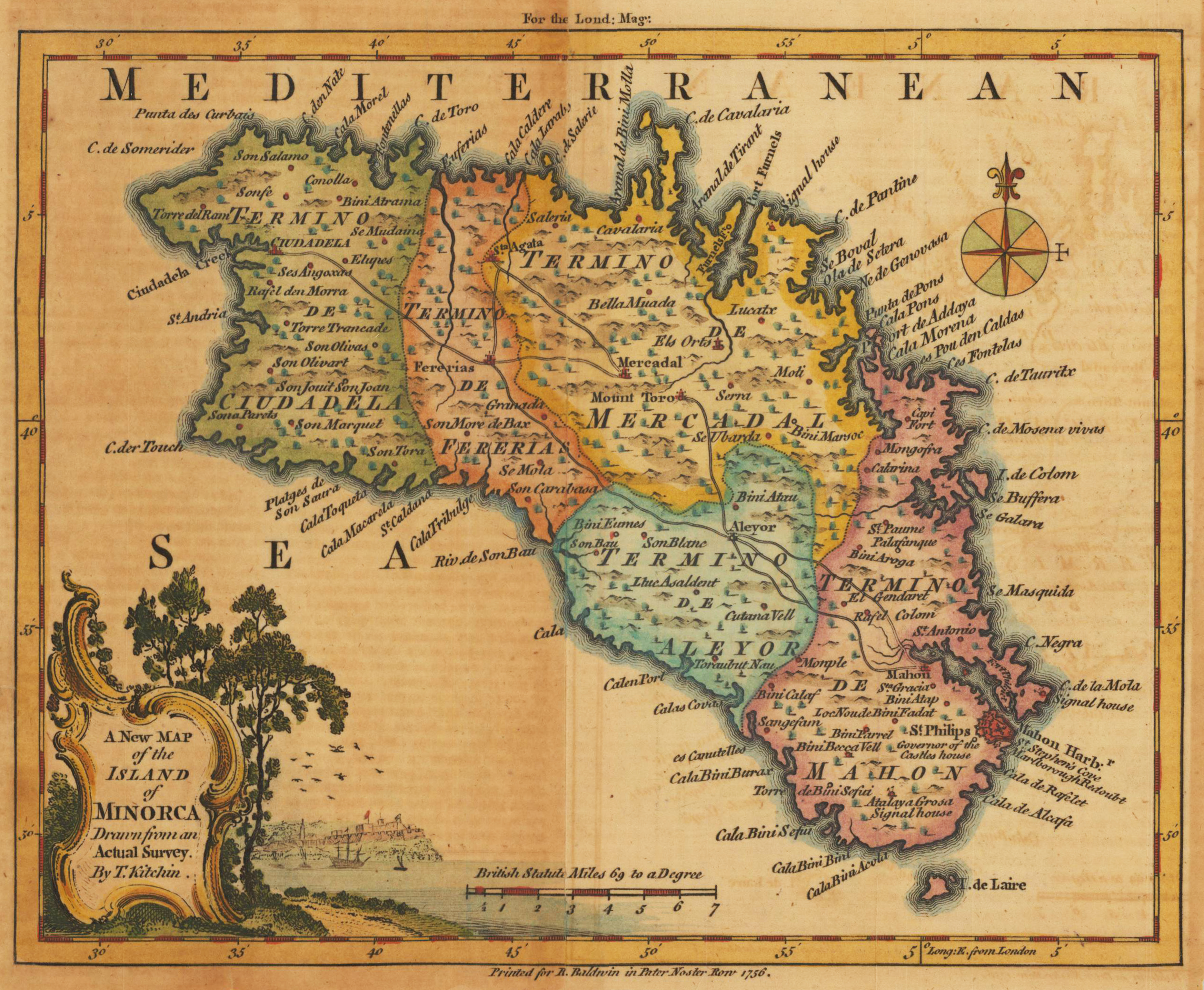
The beautiful small map depicts the island of Minorca. On the upper left corner is fine engraved carouche with a tree and in the distance is a small town on the coast with sailing shipps in the front. The milliage scale is right of the cartouche.
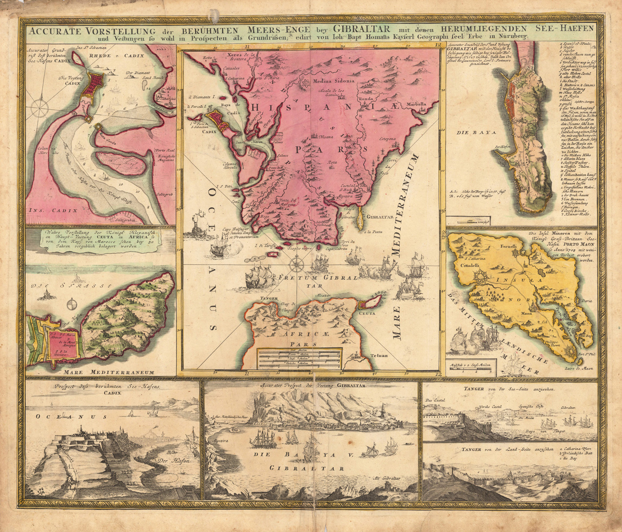
Original antique copper engraving in full contemporary handcolor in wash and outline when published. This decorative map and prospect of Gibraltar is at all equipped with seven surrounding inset maps and views of this region. Among them are the bay of Cadiz, Seuta, view of Cadiz, prospect of Gibraltar, Tanger, bird`s eye view of Gibraltar and the Island of Minorca with the port of Maon. Johann Baptist Homann (20 March 1664 – 1 July 1724) was a German geographer and cartographer, who also made maps of the Americas. Homann was born in Oberkammlach near Kammlach in the Electorate of Bavaria. Although educated at a Jesuit school, and preparing for an ecclesiastical career, he eventually converted to Protestantism and from 1687 worked as a civil law notary in Nuremberg. He soon turned to engraving and cartography; in 1702 he founded his own publishing house. Homann acquired renown as a leading German cartographer, and in 1715 was appointed Imperial Geographer by Emperor Charles VI. Giving such privileges to individuals was an added right that the Holy Roman Emperor enjoyed. In the same year he was also named a member of the Prussian Academy of Sciences in Berlin. Of particular significance to cartography were the imperial printing privileges (Latin: privilegia impressoria). These protected for a time the authors in all scientific fields such as printers, copper engravers, map makers and publishers. They were also very important as a recommendation for potential customers. In 1716 Homann published his masterpiece Grosser Atlas ueber die ganze Welt (Grand Atlas of all the World). Numerous maps were drawn up in cooperation with the engraver Christoph Weigel the Elder, who also published Siebmachers Wappenbuch. Homann died in Nuremberg in 1724. He was succeeded by his son Johann Christoph (1703-1730). The company carried on upon his death as Homann heirs company, managed by Johann Michael Franz and Johann Georg Ebersberger. After subsequent changes in management the company folded in 1852.[1] The company was known as "Homann Erben", "Homanniani Heredes", or "Heritiers de Homann" abroad. (Wikipedia)
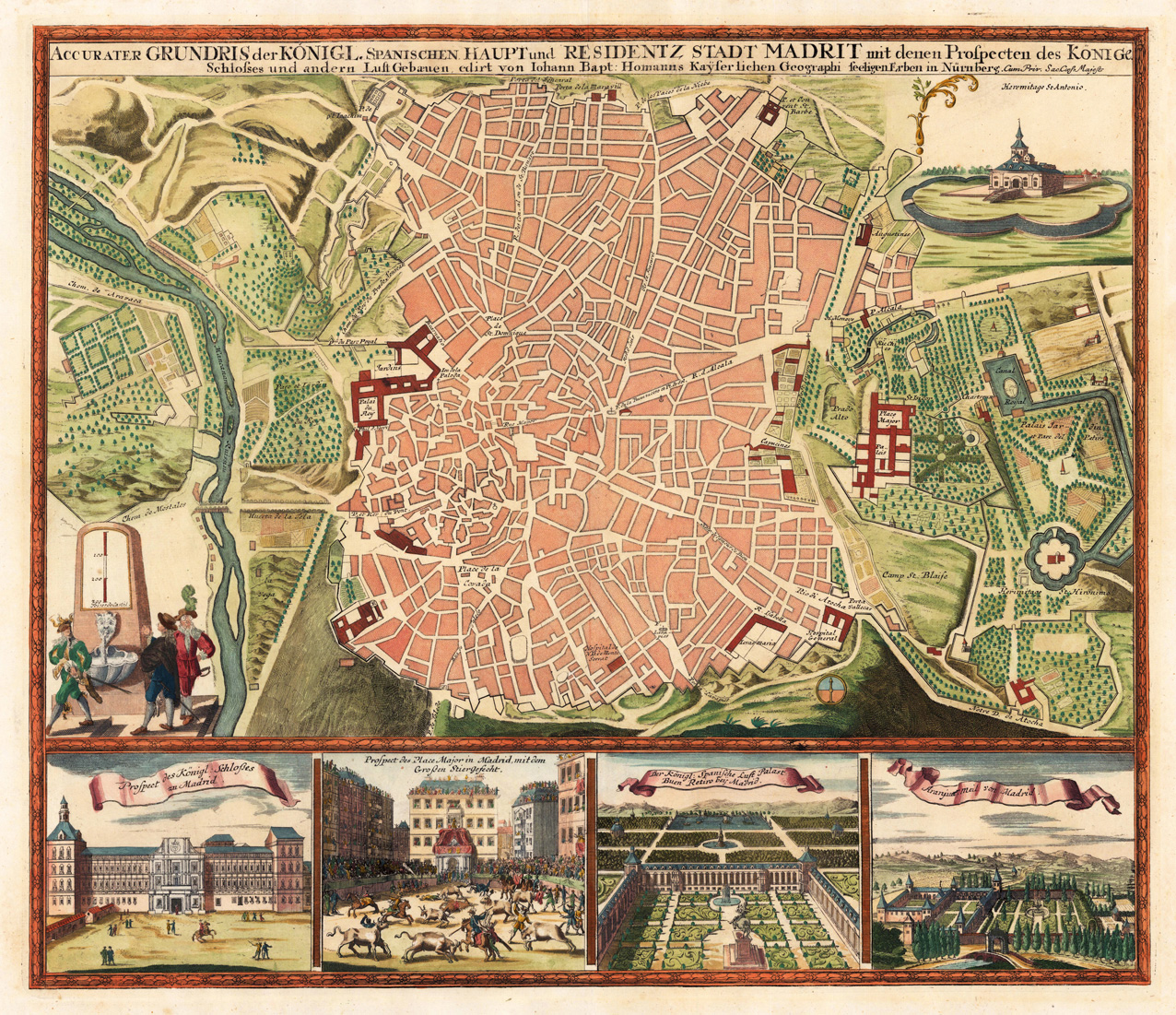
Original antique copper engraving, hand colored in outline and wash when published. This decorative map shows the ground plan in a bird´s eye view of the Royal town Madrid in Spain. Inside the map are places, streets and a ground plan of houses engraved. At the right upper corner is the church St. Antonio engraved. In the lower part you find four small inset maps, which show the Royal castle of Madrid, a scene with a bullfight, a bird´s eye view of the Royal palace and a view of Madrid. Decorative plan of Madrid, the Spanish capital. The city plan is richly ornated by various garden scenes, as well below with views of the Royal Residence, Aranjuez and the Place Major. Johann Baptist Homann (20 March 1664 – 1 July 1724) was a German geographer and cartographer, who also made maps of the Americas. Homann was born in Oberkammlach near Kammlach in the Electorate of Bavaria. Although educated at a Jesuit school, and preparing for an ecclesiastical career, he eventually converted to Protestantism and from 1687 worked as a civil law notary in Nuremberg. He soon turned to engraving and cartography; in 1702 he founded his own publishing house. Homann acquired renown as a leading German cartographer, and in 1715 was appointed Imperial Geographer by Emperor Charles VI. Giving such privileges to individuals was an added right that the Holy Roman Emperor enjoyed. In the same year he was also named a member of the Prussian Academy of Sciences in Berlin. Of particular significance to cartography were the imperial printing privileges (Latin: privilegia impressoria). These protected for a time the authors in all scientific fields such as printers, copper engravers, map makers and publishers. They were also very important as a recommendation for potential customers. In 1716 Homann published his masterpiece Grosser Atlas ueber die ganze Welt (Grand Atlas of all the World). Numerous maps were drawn up in cooperation with the engraver Christoph Weigel the Elder, who also published Siebmachers Wappenbuch. Homann died in Nuremberg in 1724. He was succeeded by his son Johann Christoph (1703-1730). The company carried on upon his death as Homann heirs company, managed by Johann Michael Franz and Johann Georg Ebersberger. After subsequent changes in management the company folded in 1852.[1] The company was known as "Homann Erben", "Homanniani Heredes", or "Heritiers de Homann" abroad. (Wikipedia)
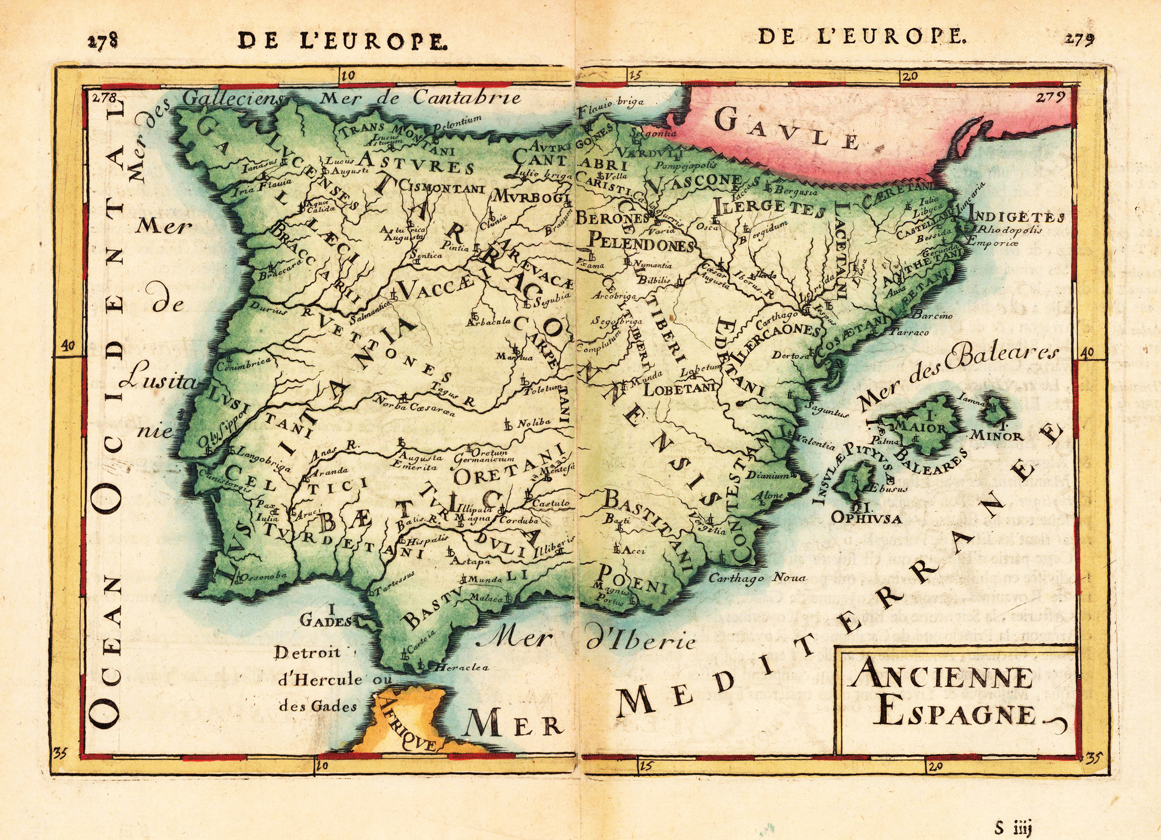
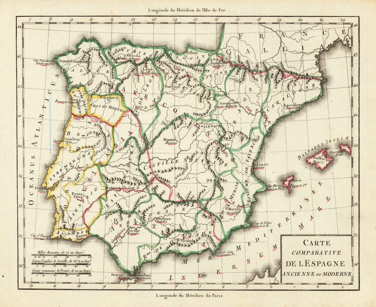
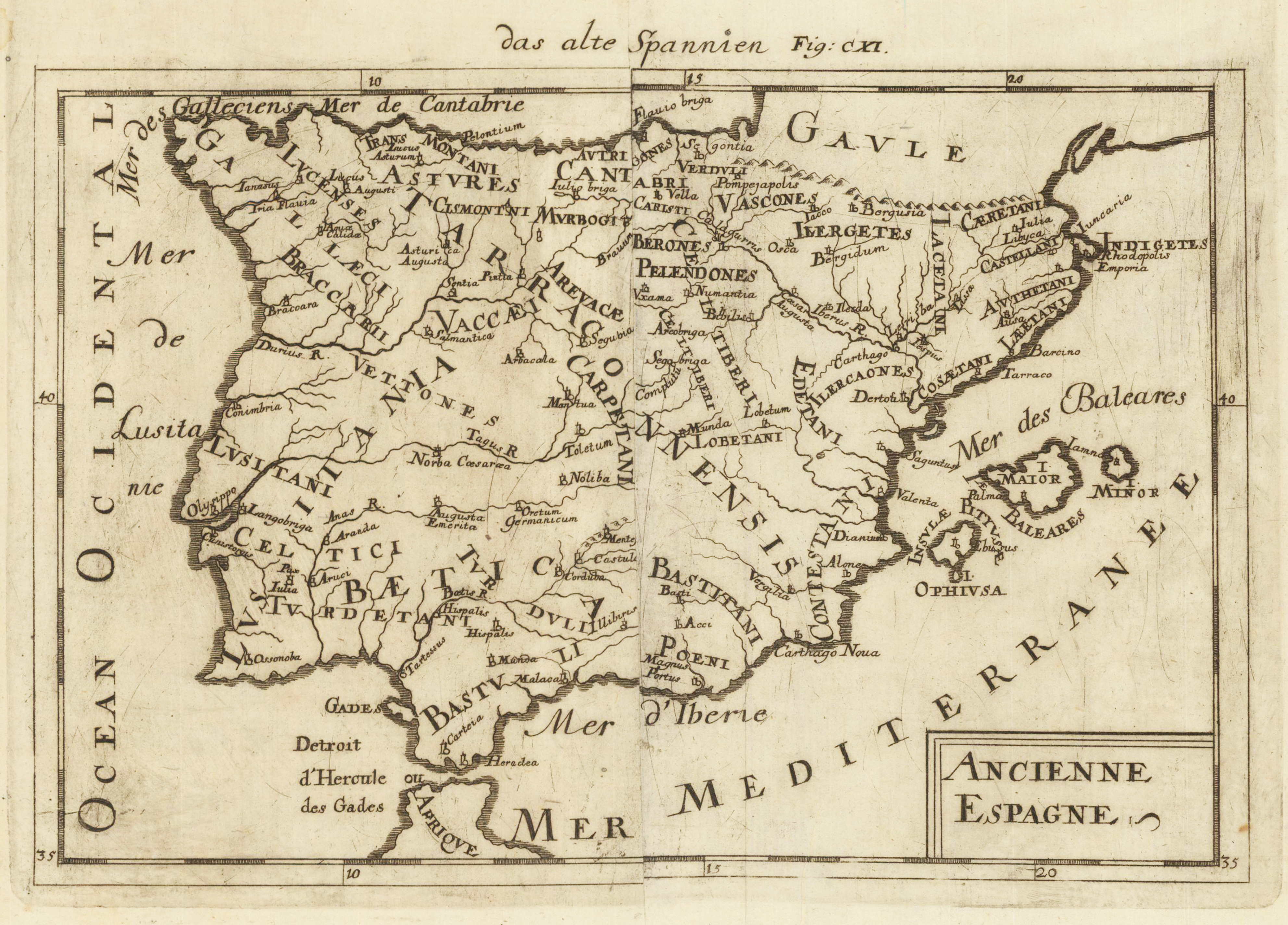
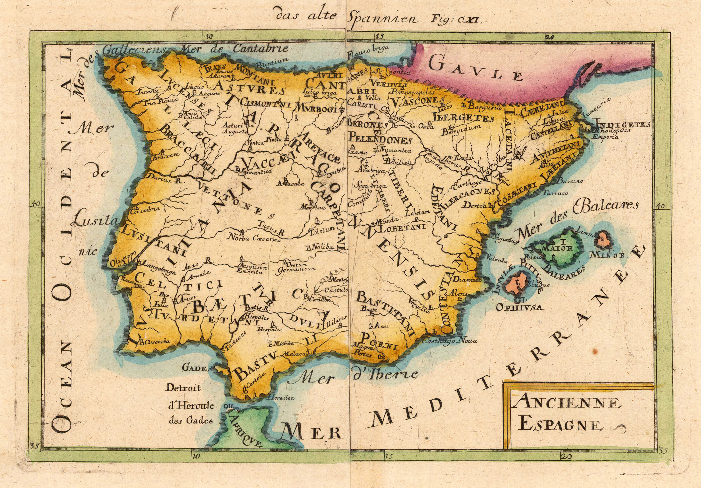
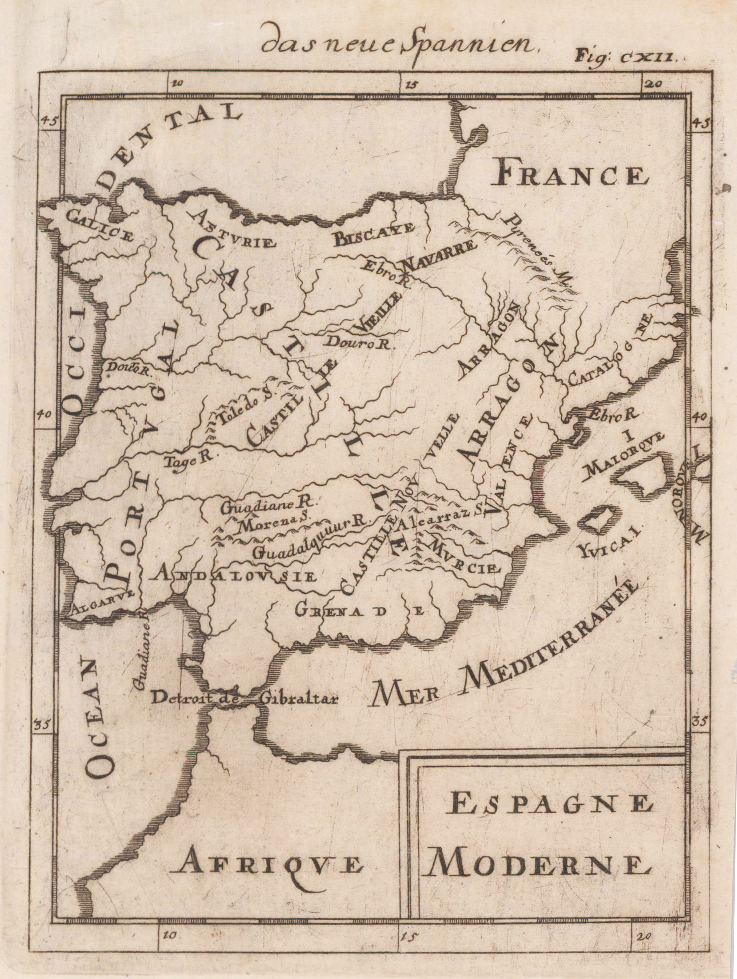
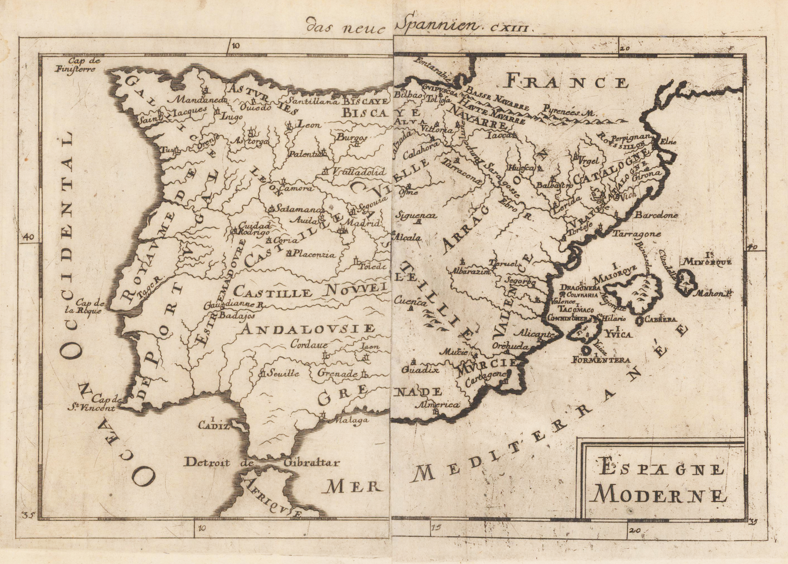
Copper engraving, later hand colored in Allain M. Mallet's description of the world. This map shows the Ancienne of Spain. Inside the map are many place names, rivers and regions.
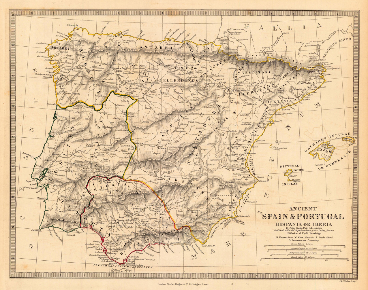
Steel engraving, hand colored in outline when published. A very interesting antique map, which shows the ancient Spain and Portugal. Inside the map are many ancient regions engraved, which are Turdetani, Lusitani, Galiaeci, Vaccaei, Arevace, etc. At the right side are the Balearic Islands Majorca and Minorca. In the lower right corner is the title, below the mileage scale.
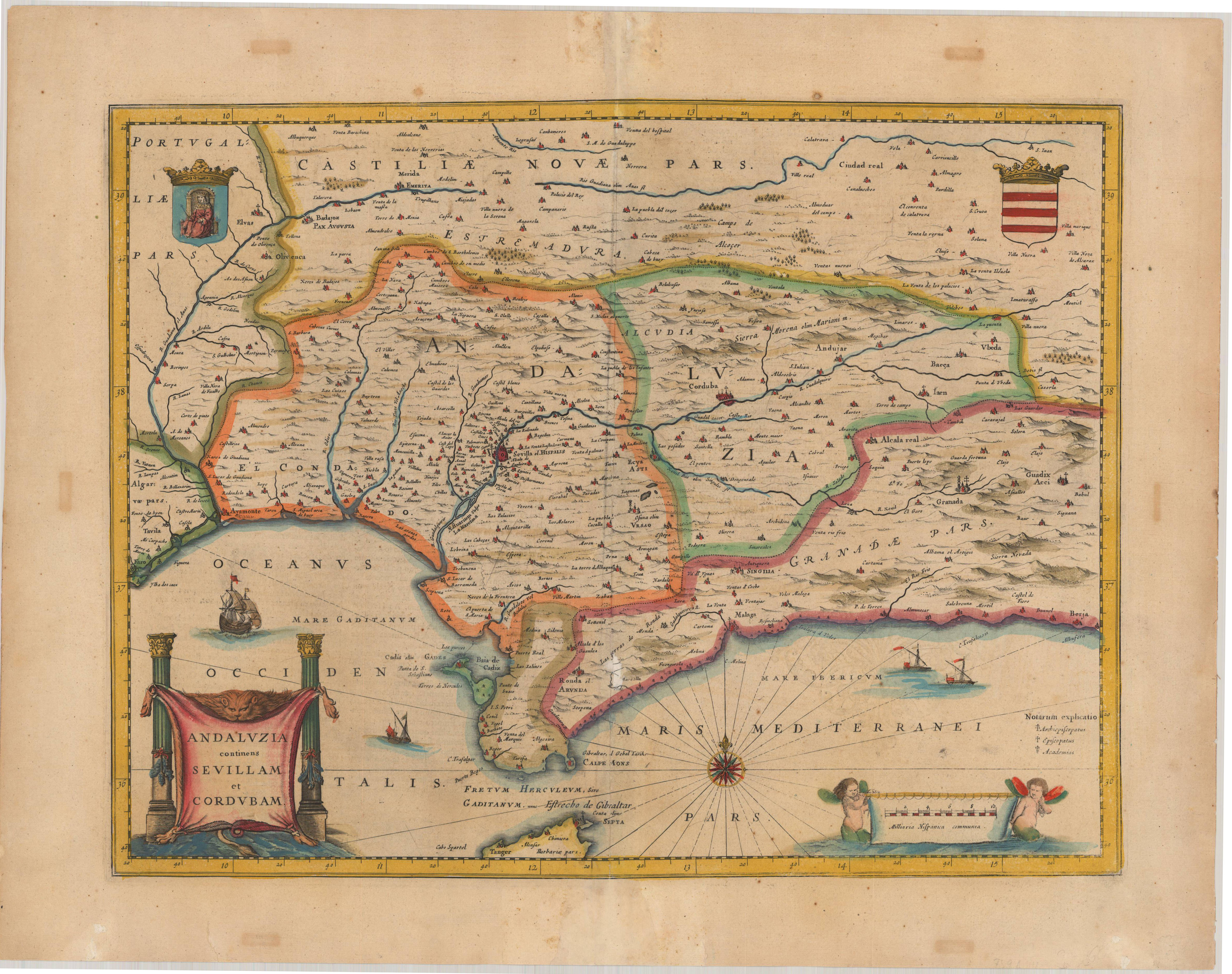
Original antique copper engraving, hand colored in outline and wash when published. A few small mendings verso, centrefold strenghtend, with a small repaired loss east of the city,Ronda'. This is the version of the,Andalucia map' by Joan. Janssonius published in the atlas by Janssonius 1653-66 in Amsterdam. The map is nearly identical with the version by Joan. Blaeu. The main difference is that Cordoba is spelled,Corduba' on the Janssonius map and on the Blaeu map it is spelled,Cordoba' and in later versions altered to,Cordova'. - A beautiful hand colored map of Andalusia, Sevilla, Cordoba, Grenada, Cadiz, Malaga... The map extends from Faro to Berja on the coast. A decorative compass rose in the Mediterranean Sea. Gorgeous column-framed title cartouche in the lower left corner. The mileage scale in the lower right corner is held by two putti. Johann Janssonius (* 1588 in Arnhem, † 1664 in Amsterdam), actually Jan Janszoon, other spellings Jan Jansz., Joan, Johannes, Ioannis, Io (h) annem; Ianssonii, Ianßonium or Jansonium) was a Dutch cartographer, publisher and manufacturer of globes. Janssonius also continued the publication of Mercator-Hondius' atlases. In 1612 he married the daughter Elisabeth of Jodocus Hondius (1563-1612). Since Hondius was the owner of Gerardus Mercator's printing plates, they worked together after Jodocus Hondius 'death with his sons Jodocus II and Henricus on new editions of Mercator's Atlas. In 1633 the second volume of the atlas was published. This is often referred to as Mercator-Hondius-Janssonius. The most important work by Jan Janssonius is the Atlas Theater du Monde, published in 1639 in three volumes. Due to the constant additions, the atlas had eleven volumes in 1662. He developed into the fiercest competitor of Joan Blaeus (1596–1673) work Theatrum Orbis Terrarum. After Jansson's death, the company was continued by his brother-in-law Waesberg. In 1694 the printing plates of Janssonius were made by Peter Schenk the Elder. Ä. (approx. 1660–1711) acquired. (Wikipedia)
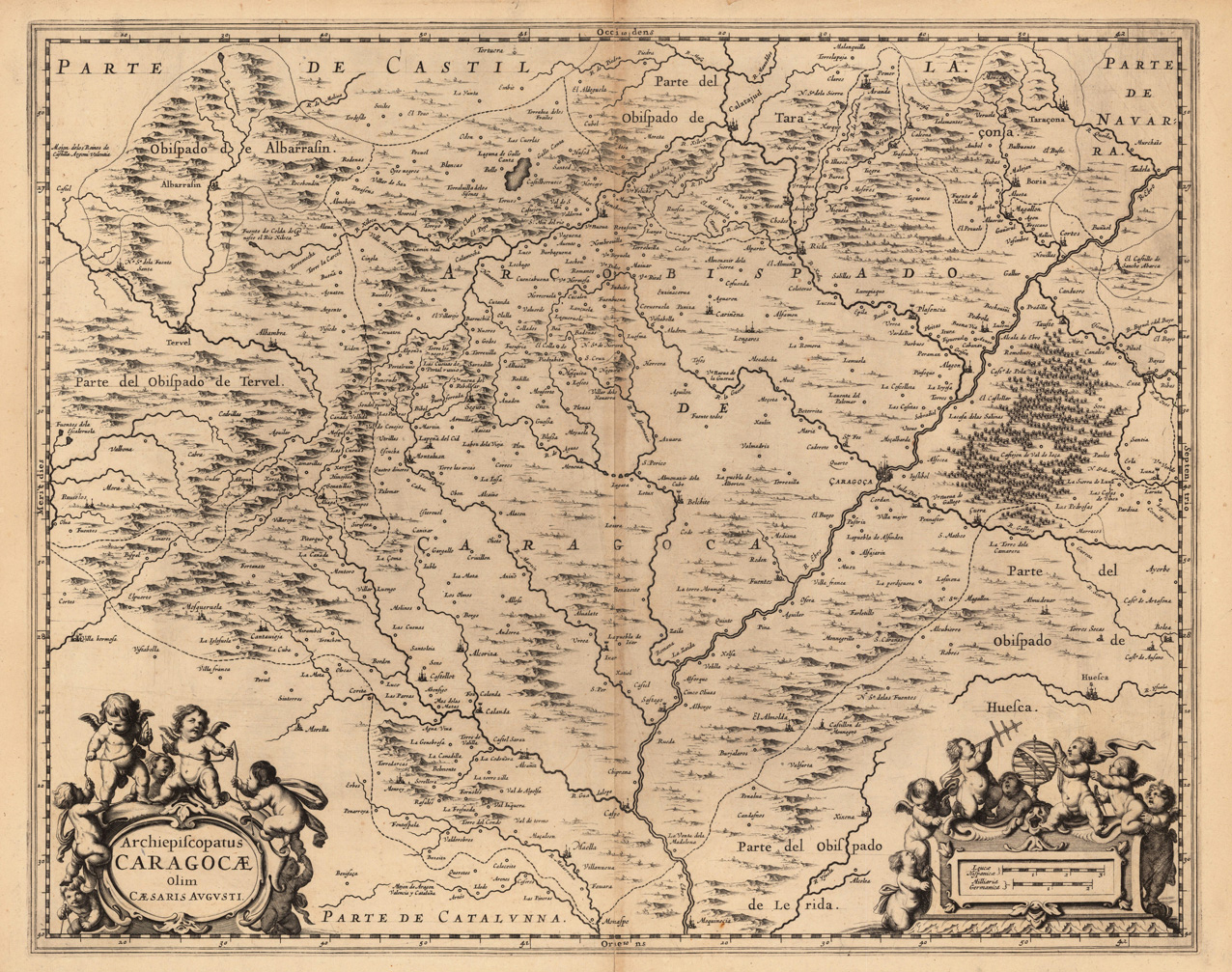
Original antique copper engraving, uncolored as published. This decorative map shows Zaragossa. Two beautiful figure cartouche are at this map. In the lower left corner is the title and in the lower right side is a mileage scale. The map is equipped with many mountains, woods, place names, rivers , etc. Joan Blaeu (23 September 1596 – 21 December 1673) was a Dutch cartographer born in Alkmaar, the son of cartographer Willem Blaeu. In 1620 he became a doctor of law but he joined the work of his father. In 1635 they published the Atlas Novus (full title: Theatrum orbis terrarum, sive, Atlas novus) in two volumes. Joan and his brother Cornelius took over the studio after their father died in 1638. Joan became the official cartographer of the Dutch East India Company. Blaeu's world map, Nova et Accuratissima Terrarum Orbis Tabula, incorporating the discoveries of Abel Tasman, was published in 1648. This map was revolutionary in that it "depicts the solar system according to the heliocentric theories of Nicolaus Copernicus, which show the earth revolving around the sun.... Although Copernicus's groundbreaking book On the Revolutions of the Spheres had been first printed in 1543, just over a century earlier, Blaeu was the first mapmaker to incorporate this revolutionary heliocentric theory into a map of the world." Blaeu's map was copied for the map of the world set into the pavement of the Groote Burger-Zaal of the new Amsterdam Town Hall, designed by the Dutch architect Jacob van Campen (now the Amsterdam Royal Palace), in 1655. Blaeu's Hollandia Nova was also depicted in his Archipelagus Orientalis sive Asiaticus published in 1659 in the Kurfürsten Atlas (Atlas of the Great Elector). and used by Melchisédech Thévenot to produce his map, Hollandia Nova—Terre Australe (1664). As Joan Blaeu, he also published the 12 volume "Le Grand Atlas, ou Cosmographie blaviane, en laquelle est exactement descritte la terre, la mer, et le ciel". One edition is dated 1663. That was folio (540 x 340 mm), and contained 593 engraved maps and plates. In March 2015, a copy was on sale for £750,000. Around 1649 Joan Blaeu published a collection of Dutch city maps named Toonneel der Steeden (Views of Cities). In 1651 he was voted into the Amsterdam council. In 1654 Joan published the first atlas of Scotland, devised by Timothy Pont. In 1662 he reissued the Atlas Novus, also known as Atlas Maior, in 11 volumes, and one for oceans.[citation needed] A cosmology was planned as their next project, but a fire destroyed the studio completely in 1672. (Wikipedia)
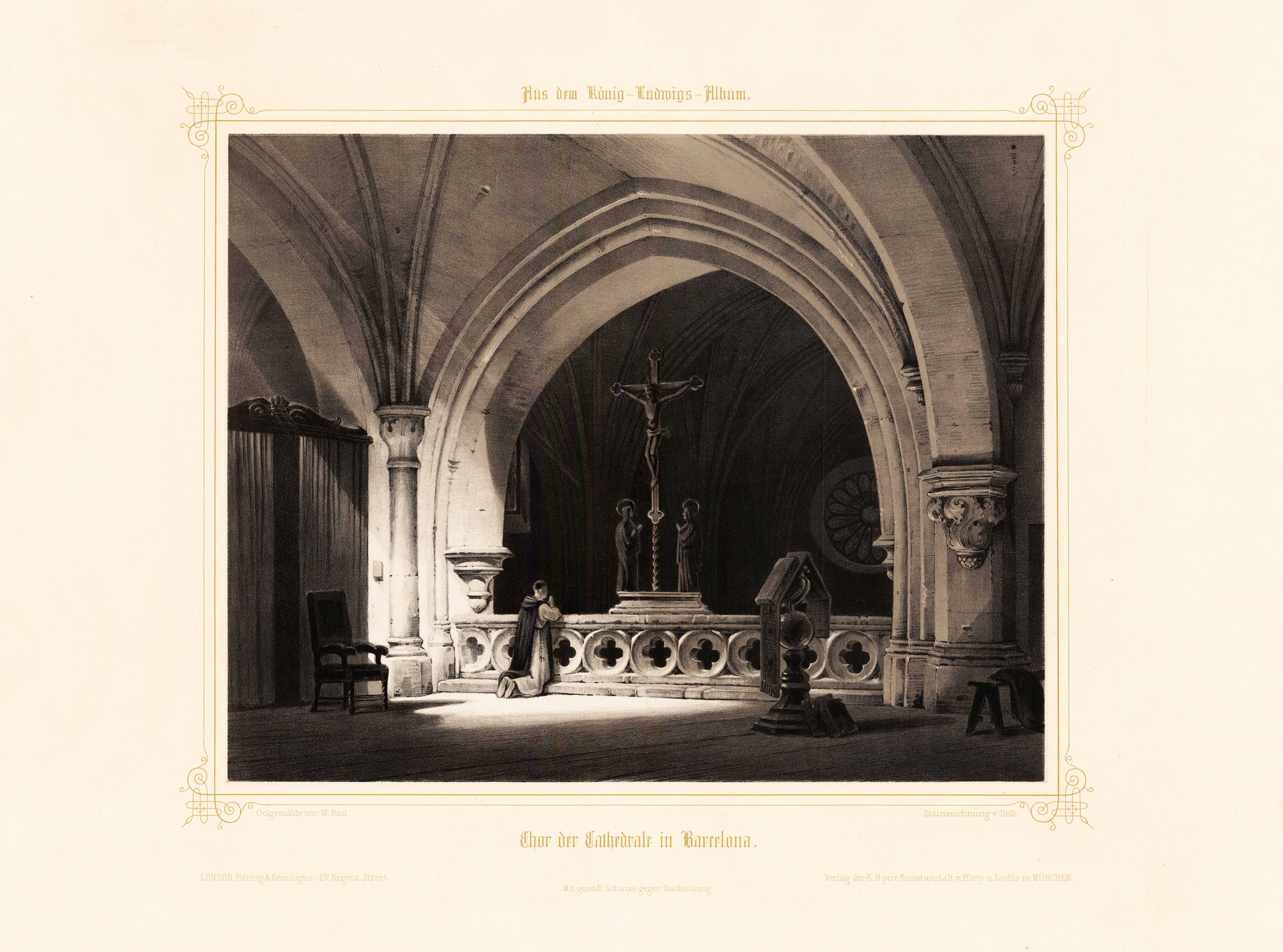
Lithograph, handcolored. This decorative picture published in the 'Königs Ludwigs Album' shows a decorative interior view of the chor of the Cathedral in Barcelona.
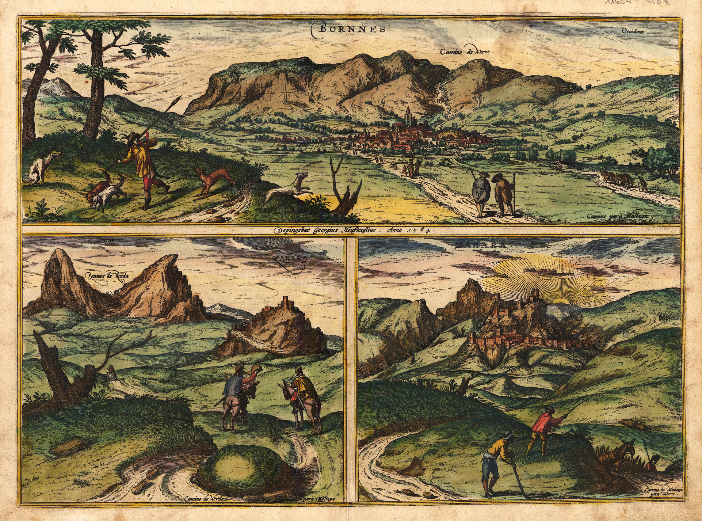
Hand colored copper engraving, published in the town book "Civitates Orbis Terrarum" by Georg Braun and Franz Hogenberg. This decorative antique map shows the towns Bornos and Zahara in Spain with a beautiful landscape. The doublepage map is divided up in three parts. At the top we look towards the town Bornos with mountains in the background. In the foreground we see people, which are wandering towards the town. The two views at the bottom show us the town Zahara seen from the east and from the west. Georg Braun (also Brunus, Bruin; 1541 – 10 March 1622) was a topo-geographer. From 1572 to 1617 he edited the Civitates orbis terrarum, which contains 546 prospects, bird's-eye views and maps of cities from all around the world. He was the principal editor of the work, he acquired the tables, hired the artists, and wrote the texts. He died as an octogenarian in 1622, as the only survivor of the original team to witness the publication of volume VI in 1617. Braun was born and died in Cologne. His principal profession was as a Catholic cleric. However, he spent thirty-seven years as canon and dean at the church, St. Maria ad Gradus, in Cologne. His six-volume work was inspired by Sebastian Münster's Cosmographia. In form and layout it resembles the 1570 Theatrum orbis terrarum by Abraham Ortelius, as Ortelius was interested in a complementary companion for the Theatrum. The Braun publication set new standards in cartography for over 100 years. Frans Hogenberg (1535–1590, from Mechelen) created the tables for volumes I through IV, and Simon van den Neuwel created those for volumes V and VI. Other contributors were Joris Hoefnagel, Jacob Hoefnagel, cartographer Daniel Freese, and Heinrich Rantzau. Works by Jacob van Deventer, Sebastian Münster, and Johannes Stumpf were also used. Primarily European cities are depicted in the publication; however, Cairo Casablanca and Mexico City as well as Cuzco on one sheet are also included in volume I, whereas Tunis is featured in volume II. Frans Hogenberg (1535–1590) was a Flemish and German painter, engraver, and mapmaker. Hogenberg was born in Mechelen in Flanders as the son of Nicolaas Hogenberg. In 1568 he was banned from Antwerp by the Duke of Alva and travelled to London, where he stayed a few years before emigrating to Cologne. He is known for portraits and topographical views as well as historical allegories. He also produced scenes of contemporary historical events. Hogenberg died in Cologne. (Wikipedia)
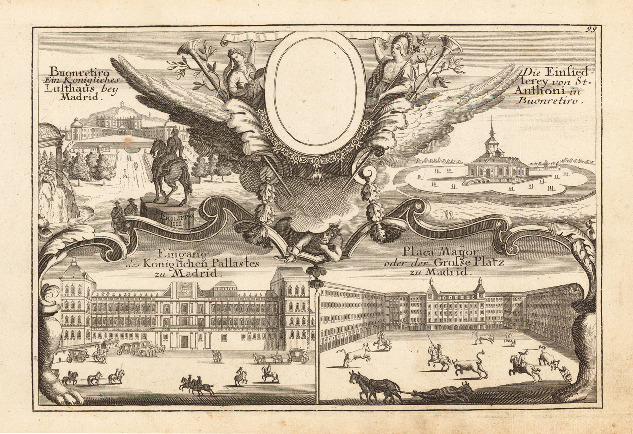
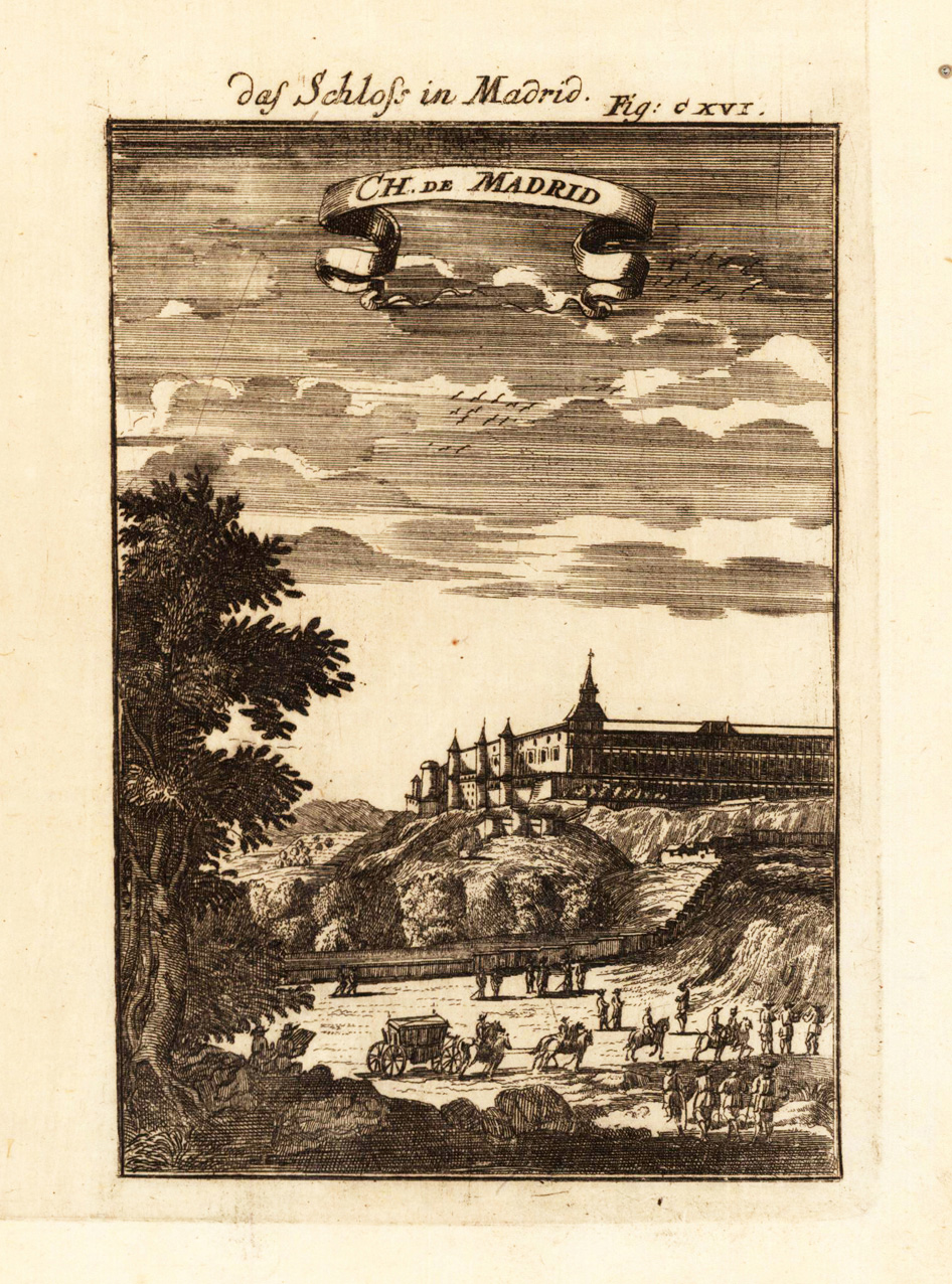
Original antique copper engraving, uncolored as published. This fine decorative copper engraving shows the royal castle of Madrid in Spain, and was published in Gabriel Bodenehr's famous serious "Europeans Macht und Pracht", a series of engravings depicting city views, plans, fortresses and castles in Europe. Many plates often are showing fortifications in Hungary and Southeast Europe, Spain, Belgium, Austria and Germany. Gabriel Bodenehr was during this period a successful publisher for maps and prints in Augsburg in Southern Germany. Gabriel Bodenehr the Elder (1664-1758 or 1673-1765) was a German map maker and member of a famous engraver and publisher family of Augsburg. His main work was "Atlas Curieux" first published 1704. He was the son of Johann Georg Bodenehr (1631-1703). Gabriel's son was Gabriel Bodenehr the Younger (1705–1792).
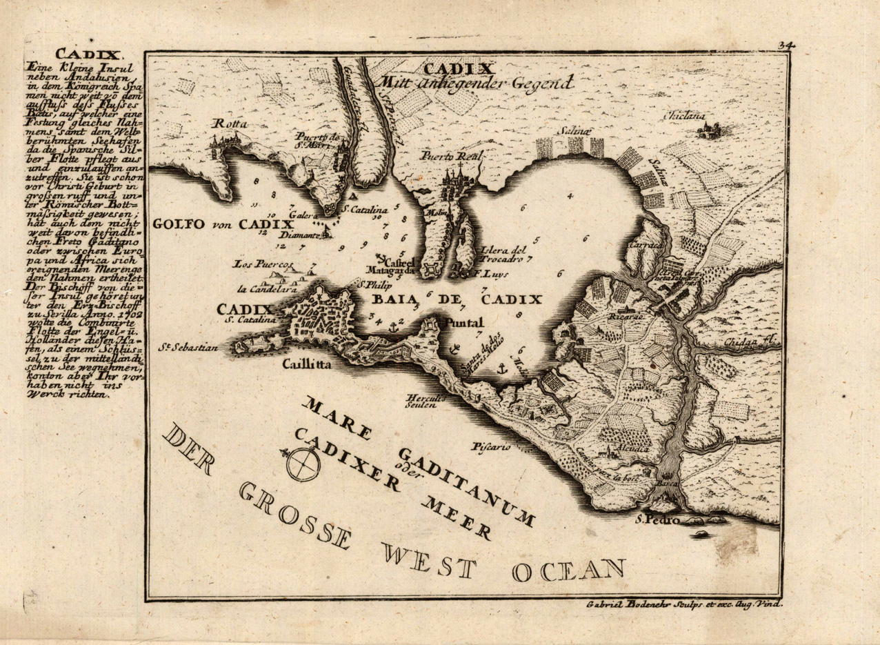
Original antique copper engraving, uncolored as published. This fine decorative copper engraving shows the city of Cadiz in Spain, and was published in Gabriel Bodenehr's famous serious "Europeans Macht und Pracht", a series of engravings depicting city views, plans, fortresses and castles in Europe. Many plates often are showing fortifications in Hungary and Southeast Europe, Spain, Belgium, Austria and Germany. Gabriel Bodenehr was during this period a successful publisher for maps and prints in Augsburg in Southern Germany. Gabriel Bodenehr the Elder (1664-1758 or 1673-1765) was a German map maker and member of a famous engraver and publisher family of Augsburg. His main work was "Atlas Curieux" first published 1704. He was the son of Johann Georg Bodenehr (1631-1703). Gabriel's son was Gabriel Bodenehr the Younger (1705–1792).
Original antique copper engraving, uncolored published in Allain M. Mallet's description of the world. This map shows the Ancienne of Spain. Inside the map are many place names, rivers and regions.
Copper-engraving, handcolored in wash and outline, published in Allain M. Mallet's description of the world. This map shows the Ancienne of Spain. Inside the map are many place names, rivers and regions.
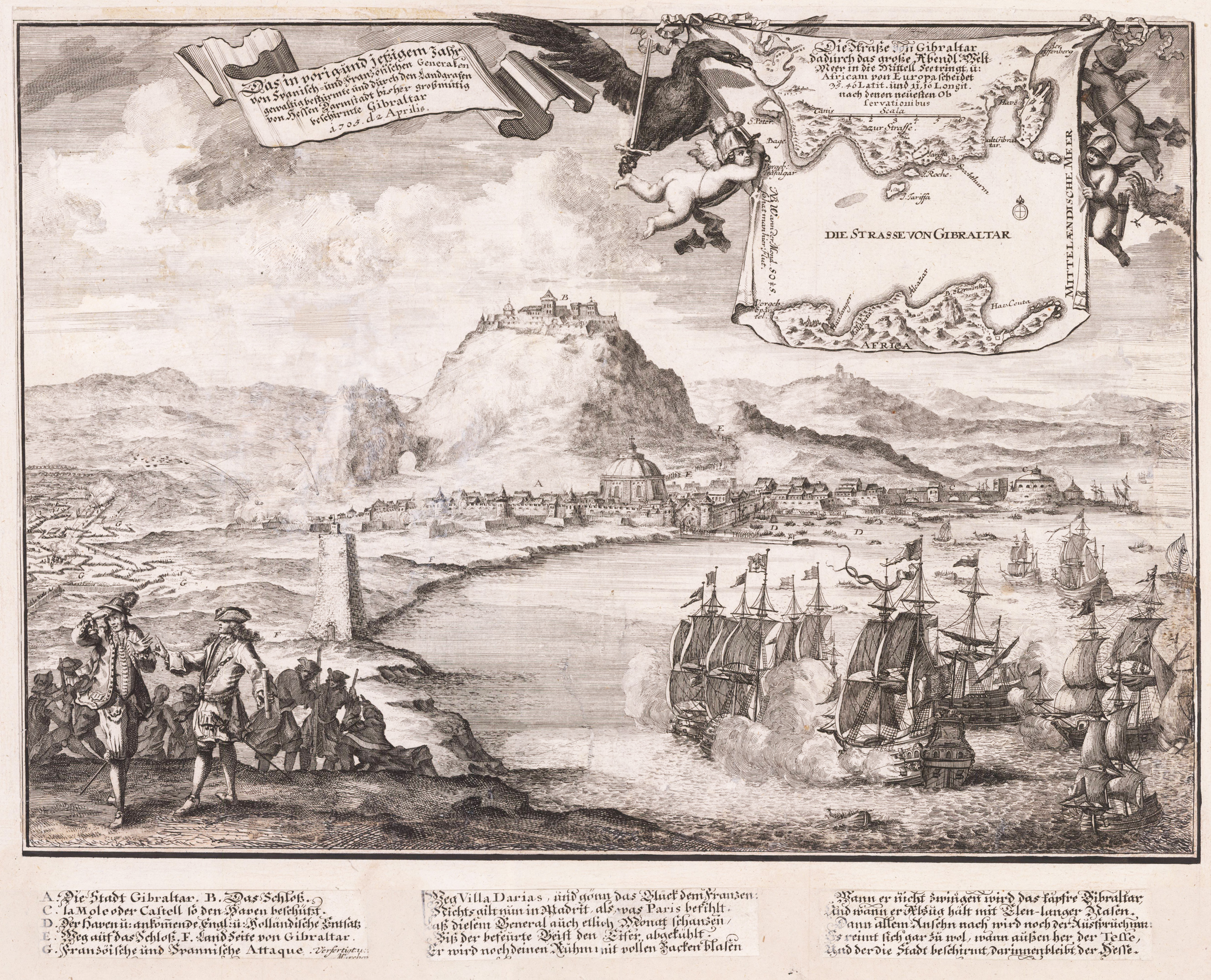
Original antique copper engraving, unkolored. Decorative birds-eye view shows the harbor with many sailing ships and the rock of Gibraltar in the background during the siege in April 1705. In the foreground at the left side stand two men with a larger group of men standing down the hill from them. Below them are troops gathered on the flat land below the castle. Includes inset map of "Die Strasse von Gibraltar" [The strait of Gibraltar] at top right hand corner of the print.
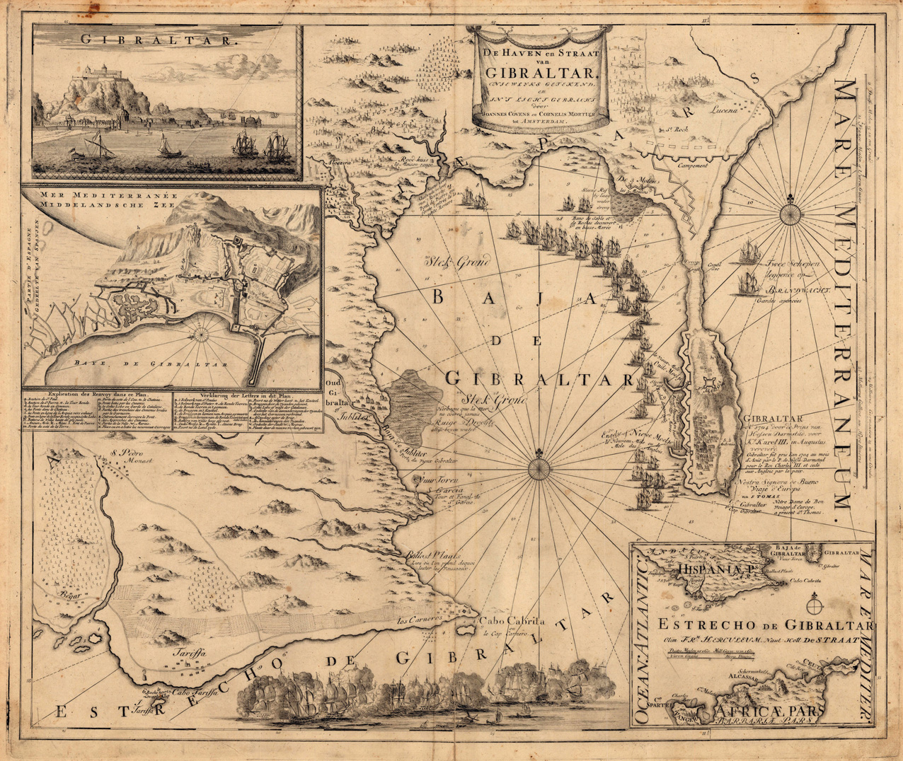
Copper engraving, uncolored as published. Decorative map showing the siege of Gibraltar during the Spanish war of succession. This highly interesting map is richly ornated with three additional inset maps and views. The map provides information on fortifications, harbour places, villages, mountains, etc. Further a scene of decorative battle ships is engraved at the bottom.