
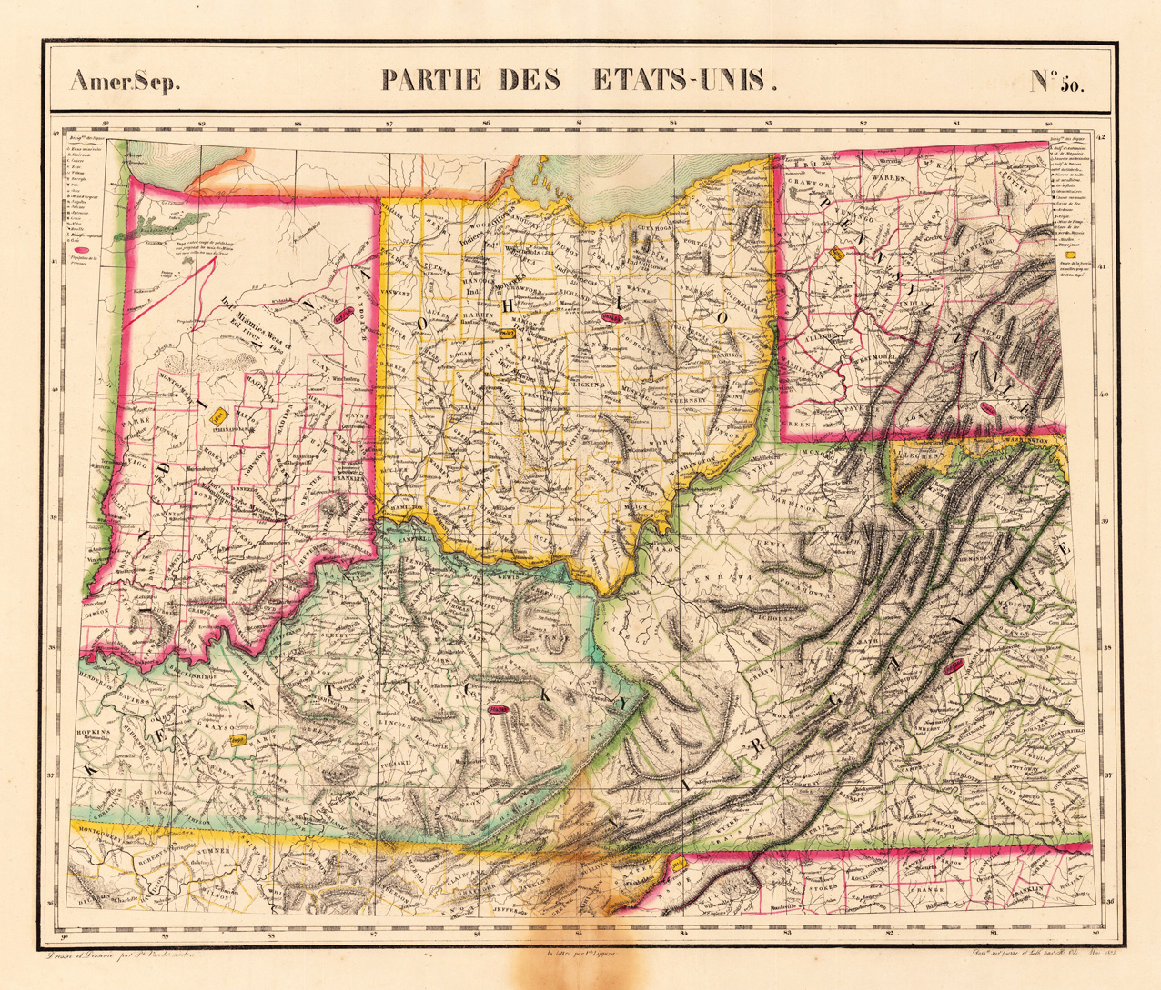
Amer. Sep. Partie Des Etats-Unis. No. 50.
Product information: Amer. Sep. Partie Des Etats-Unis. No. 50.
Lithograph, original hand colored in outline. The decorative colorful outline handcolored map shows in its centre Indian & Ohio, Kentucky and the adjacenting Virginia and Pennsylvania. It provides detailed information on place names, little streets and routes, rivers, lakes, mountains. Further the states are divided up into its counties in outline color. Overall size of the map circa 18 1/2 x 22 inches. The interesting map in vivid period hand color. At the lower centre fold and bottom marginal browning, affecting also slightly the engraved image of the map towards the border of Virginia, not really too disturbing. Verso a small mending.
Properties
| Category: | Ohio, Indiana, Pennsylvania, Kentucky & Virginia |
|---|---|
| Issue date: | 1825 |
| Published place: | Brussels |
| Technique: | Lithograph / Original color. |
| Type: | Antique Map, map |