
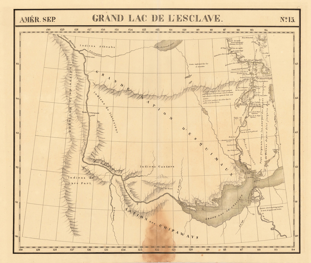
Amer. Sep. Grand Lac De L'Esclave No. 15.
Product information: Amer. Sep. Grand Lac De L'Esclave No. 15.
Lithograph, original hand colored in outline. Large and high detailed map of the region of the Mac Kenzie River and Grand Slave Lake. The map was published in Vandermaelen's 6 volumes atlas and is impressive with its many details of small place names, rivers, lakes and mountains. Further on the map shows several Forts: Ft. Providence, Resolution and l'Esclave. The map also shows local Indian Tribes (Chippeways, Castors, Athnahs and the Esquimaux). The eastern part of the map is highly detailed on various rivers and portages North of Slave Lake. The map was published in Phillippe Marie Vandermaelen's atlas of North America.
Properties
| Category: | MacKenzie River & Grand Slave Lake |
|---|---|
| Issue date: | 1825 |
| Published place: | Brussels |
| Technique: | Lithograph / Original color. |
| Type: | Antique Map, map |