Original antique book without title page, leather binding with floral embossing. 59 etchings. "Campo Vaccine, Veduta del Colises, Ponte S. Maria, del Campidoglio, S. Agnesa, Campo Vaccina, Arco di Costantino et Coliseo, Interno Roma, S. Marco di Venezia, Dogana di Venzia, Colona Trojana, S. Ange Rome, Piazza della Rotonda, Colonne Antoniane, Palais de la Vigne du Cardinal Pie, Place Nauonne a Rome, Piaza di Mentecauallo, Piazza della Madono delle Popolo, S. Marco, Nostre Dame de Lorette, Nostre Dame de Portiuncule, S. Dominicque de Sienne, Palais du Pape, Campo Vacina, Rue du Cours, bocca della venta, Terme Diocletiane, Pont de Realte de Venize, Port de Venize, Chvette de la Trinite, Piazza di St. Marco, Piazza di St. Marco di Venezia vista verso il porto, Medisima grand Piazza di St. Marco, Gallerie Dauphine du Palais a Paris, Louvre du coste des Tuilleries, Pont Marie, Porte S. Bernard, Chasteau de Corbeil, Maison Rouge..de Seine, S. George de Venize, S. Iean et Paule de Venize, S. Victor de Marseille, Veue du Rocher de Gayette, La Maijorre de Marseille, Le Fanal de Genne, Alcune Vedute und Antica alla Vigna d Este a Tiuoli, Pallazzo di Monte Cauallo und Palazzl della Vigna di Mont alto, Pallazo di Barberini und Fontana alla Vigna d Este, Veduta della Vigna d Este und de la Vigna di Ludouici, Grotte del Giardino di Monte Dragone und Veduta de la Vigna de Medici, Fontana alla Vigna Aldobranini a Frascati und Fontana de Dragoni a Tiuoli, Profil de la Ville de S. Denis, Profil de la Ville de Poissy, Veue au naturel de la Cité d Alize, Aqueducs ou le Peuple Romain, Veue au naturel de la Saincte Baume en Prouence, de la Montagne, Loreto", Israel Silvestre (13 August 1621 in Nancy – 11 October 1691 in Paris), called the Younger to distinguish him from his father, was a prolific French draftsman, etcher and print dealer who specialized in topographical views and perspectives of famous buildings. Orphaned at an early age, he was taken in by his uncle in Paris, Israel Henriet, an etcher and print-seller, and friend of Jacques Callot. Between 1630 and 1650 Silvestre travelled widely in France, Spain and Italy, which he visited three times, and later worked up his sketches as etchings, which were sold singly and in series. His work, especially of Venetian subjects published in the 1660s, influenced eighteenth-century painters of vedute such as Luca Carlevaris and Canaletto, who adapted his compositions. In 1661 he inherited the stock of plates of his uncle, the printseller Israel Henriet, among which was a large part of the works of Callot, and many of those of Stefano della Bella. In 1662 he was appointed dessinateur et graveur du Roi and in 1673 he was appointed drawing-master to Louis, le Grand Dauphin. From 1668 he was granted workshop space in the galleries of the Louvre, where the practice of housing eminent artists and craftsmen was a tradition that was originated under Henri IV. Silvestre's atelier was large: he had at least two pupils who had separate careers as engravers, François Noblesse and Meunier. In 1670 Charles Le Brun[2] recommended him for membership in the Académie royale de peinture et de sculpture. In 1675 his son, the artist Louis de Silvestre, was born at Sceaux. At his death he left a large collection of drawings, more than a thousand engravings, and other works of art to his sons, whose own artistic tastes he had nurtured. The family collection was sold at auction in 1810. (Wikipedia)
With 7 (instead of 8) double sheet sizes. engraved. Portraits and double sheet size. Copper plaque. 21 p. - Ldr. d. Currently with rvg. and Rsch. (Capitals chipped, back joints torn and somewhat cracked, scuffed and bumped). - The double sheet size. Plaque depicting the Battle of Carberry Hill.
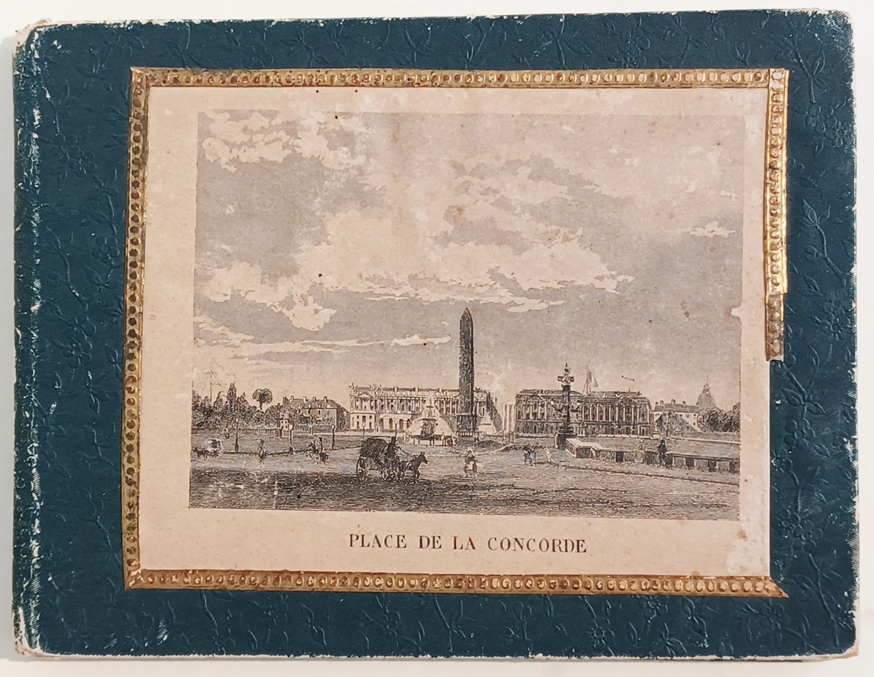
Original green paper wrappers with ornamental flower design. The front cover with one pasted down engraving of,Place de la Concorde'. Pittoresque leporello album of Paris illustrated with 30 steel engravings depicting famous monuments, buildings, churches, parks, bridges etc of Paris.
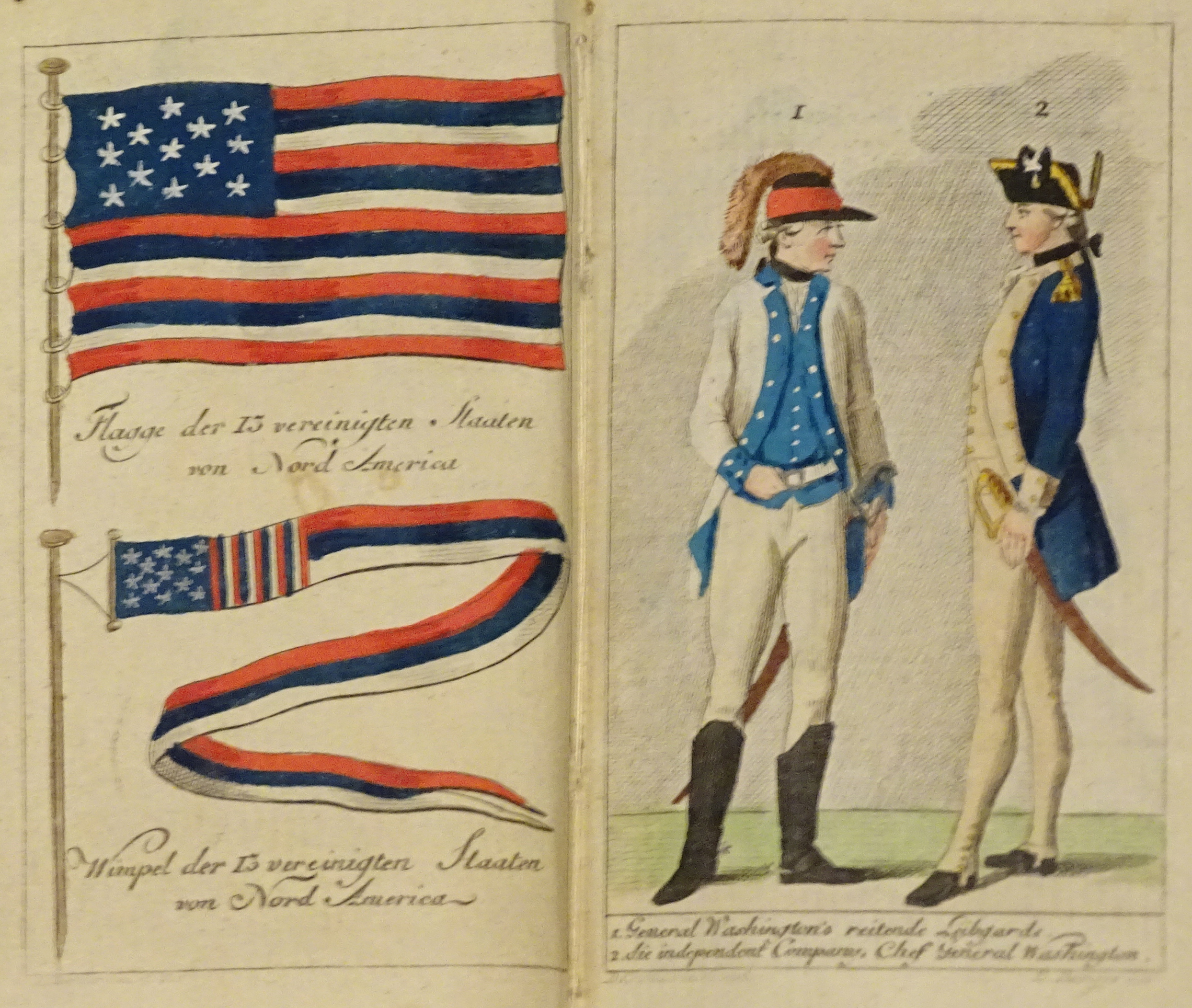
Rare historical almanach about the history of the revolution in 1784 in North America. Illustrated with seventeen fine engravings related to the revolution in 1784 in North America, designed by Daniel Chodowiecki and probably all engraved by Berger, further illustrated with a folded fine engraved hand colored map of the United States drawn by Daniel Friedrich Sotzmann after William Faden the Younger. Among the seventeen fine engravings by Chodowiecki we find one of the earliest engravings showing the flag of the United States. These fine engravings were engraved by Daniel Niklaus Chodowiecki (16 October 1726 – 7 February 1801). The almanach is also including the rare plate with the portraits of General Washington, General Gates, Dr. Franklin, Henry Laurens (President of the Continental Congress after John Hancock) and Paul Jones; among the other engravings is the scene of the ,Boston Tea Party', the protest for the ,Stamp Act' in Boston August 1764, etc. Daniel N. Chodowiecki was a Polish—and later German—painter and printmaker with Huguenot ancestry, who is most famous as an etcher. He spent most of his life in Berlin, and became the director of the Berlin Academy of Art. Marbeled soft card board covered of the period. All engravings are hand colored in the period when published. Some of the engravings of the first section of book with marginal waterstains, which affected two of the engravings slightly more. A very rare almanach describing the noteworthy news for 1784 with a history of the revolution in North America. Very rare.
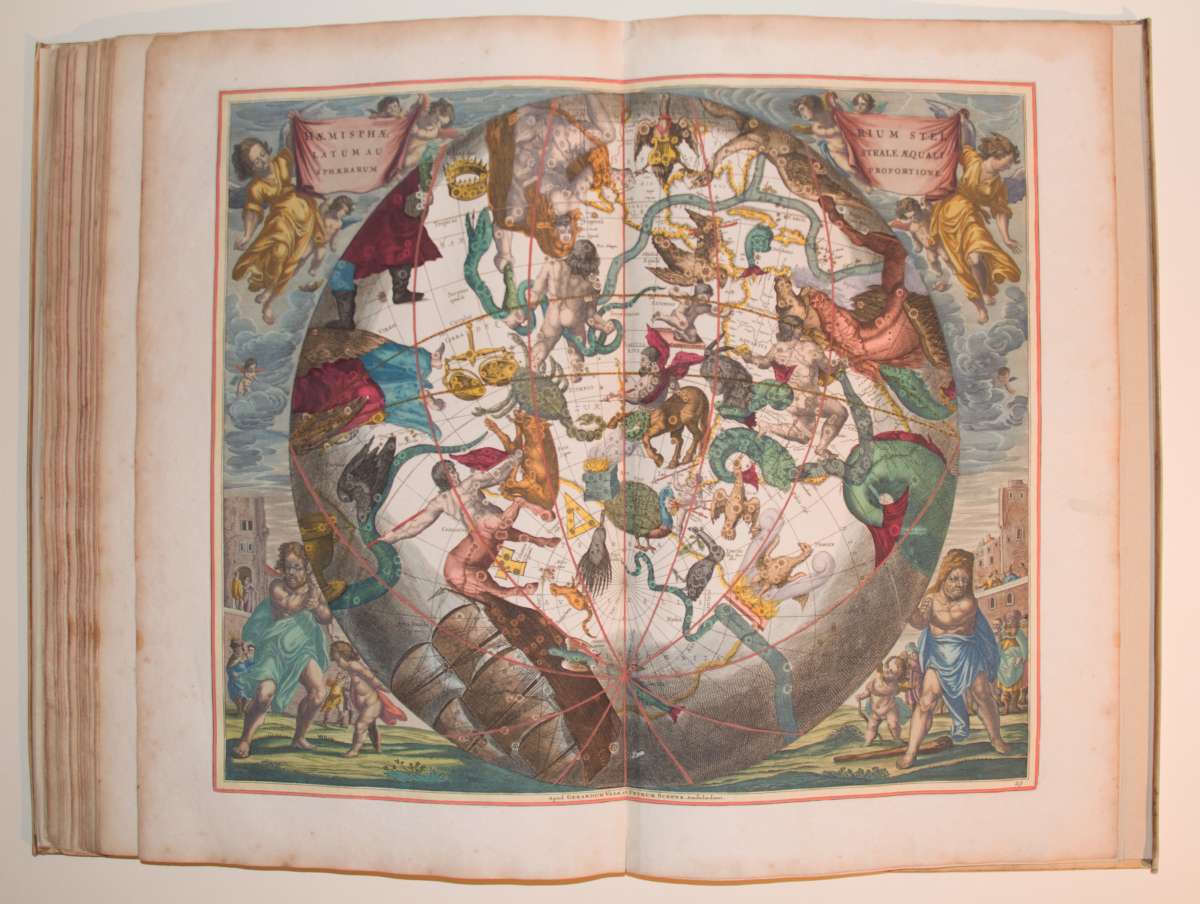
Large Folio. Printed title, engraved old colored title page, table of contents with index of the maps, illustrated with 29 fine old colored engraved celestial maps, the outer borders and some cartouches maybe at a later date colored. Vellum bindung of the period, covers richly gilt and decorated, spine renewed. The ‚Harmonia Macrocosmica...' by Andreas Cellarius is the most famous and spectacular celestial atlas published in the 17th century. It appeared in three editions: 1660, 1661 and 1708. The 1st edition 1660 was published as a supplement to the famous 'Atlas Novus...' by Joannes Janssonius in Amsterdam. At a later date the copper plates were acquired with by Gerard Valk and Petrus Schenk, map and booksellers in Amsterdam when they took over the inventory of the publishing house of Joannes Jannsonius. They reissued this famous celestial atlas 1708 in their printing house in Amsterdam. The copper plates were used unaltered apart from the addition of the imprint: 'Prostant Amstelaedami apud Petrum Schenk, et Gerardum Valk. C.P.' The Cellarius celestial atlas sold very well among their wide range of cartographic products of atlases, globes and wall maps. It was either sold individually or as a supplement to some of their famous world atlases. It contained only an allegoric title-page engraved by F. H. v. Hoven, a typographic title-page printed in black and red, one printed index table and the 29 double engraved celestial maps. In his sky atlas, Andreas Cellarius shows the often contradictory theories that prevailed at the time. In addition to Tycho Brahe and Schiller's celestial models, Andreas Cellarius also presents maps reflecting the theories of Ptolemy and also includes Copernicus as a 16th-century challenge to commemorate the venerable ancient astronomer. Cellarius' celestial atlas was also not without political motives. At that time, during his tenure, the Netherlands had been the undisputed center of scientific discovery. The Dutch cartographers had stood above all others. It is also assumed that Louis XV. tried to bring France to the forefront of science and thus catch up with political dominance. His efforts led to a major competition between France and the Netherlands. Andreas Cellarius also tried to thwart the French attempts with his extremely complex sky atlas. In some maps, Cellarius incorporated French elements into his celestial maps, such as acanthus leaves commonly seen on French furniture of the period. In this way he used decorative French pictorial elements more skilfully than they could themselves.
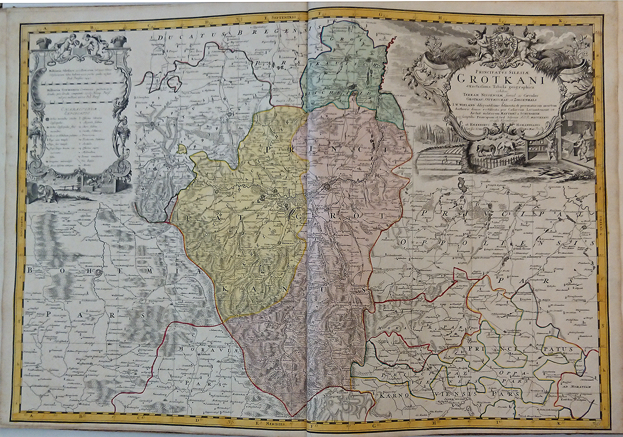
Contemporary cardboard binding of the publication period, covered with marble paper (with abrashions at the corners). Blank 18th century front- and endpapers, 1 printed title page, printed index of the 20 engraved maps with table of explanations at the bottom, 20 double page engraved maps all hand colored in outline and wash in the period when published. Map number 9 misbound between maps number 6 and 7. The „Atlas Silesiae ..." was published as a large scale atlas of Silesia, which incorporated 20 double page engraved maps of which most of them are detailed regional maps of the various principalities and duchies of Silesia. The maps are based upon land surveys by Johann Wolfgang Wieland (1673-1736), they were corrected by M. v. Schubarth. In Silesia, during the reign of Charles VI (1711-1740) a work begun surveying the Habsburg hereditary lands. This survey was appointed to engineer Lieutenant Johann Wolfgang Wieland. In 1735 the 'Homann Heirs' a Nuremberg company which continued to print Homanns maps after his death, was charged with the publication of the map sheets. It appeared in an atlas with maps of the 16 principalities and two general maps. In 1736 a further revision of the Wieland drawn maps was carried out by the imperial engineer Lieutenant Matthew of Schubarth. That same year the copper plates (featuring also the principalities of Wroclaw, Brzeg and Sagan) were completed. King Frederick II of Prussia (1740-1786) was initially resistant to the completion of the survey. An atlas was published which included a map of Silesia, one of Lower and Upper Silesia, a map of the diocese of Wroclaw and 16 principalities. The atlas was for a long time the only publication of a government land survey of Silesia. Provinces on this map include Freyhan, Adelnau, Mittelwalde, Kempen, Pitschen, Ohlau and Breslau. This map was published in 'Atlas Silesiae Id Est Ducatus Silesiae Generaliter Quatuor Mappis Nec Non Specialiter XVI Mappis Tot Principatus Repraesentantibus Geographice Exhibitus'. Reference: Tooley's Dictionary of Mapmaker, Early World Press, 2004, pp 361-362
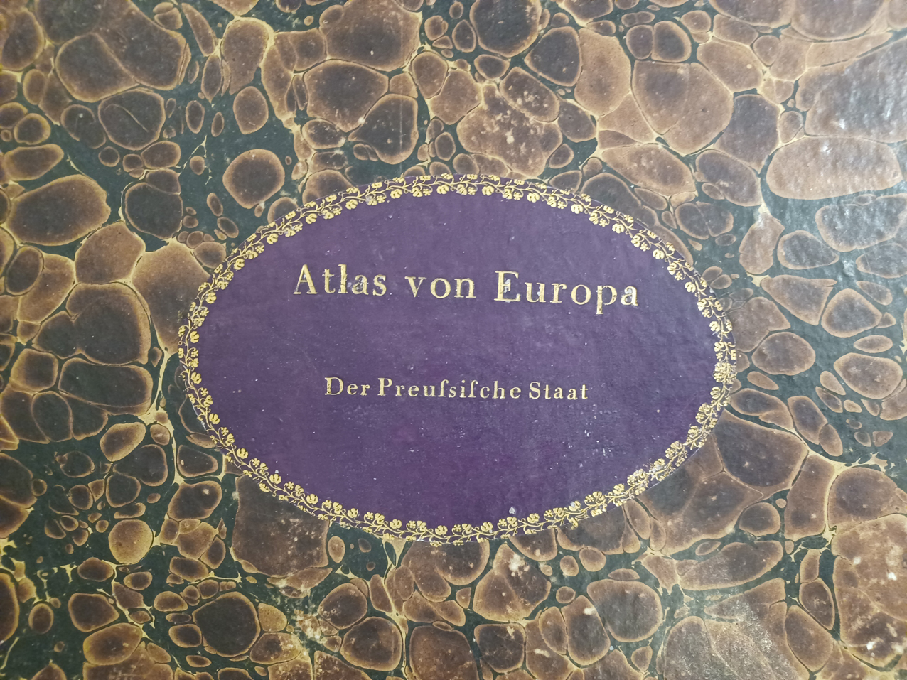
Illustrated with 26 engraved maps showing the Prussian state. All hand colored in the period when published, including 41 leaves of printed descriptive text.
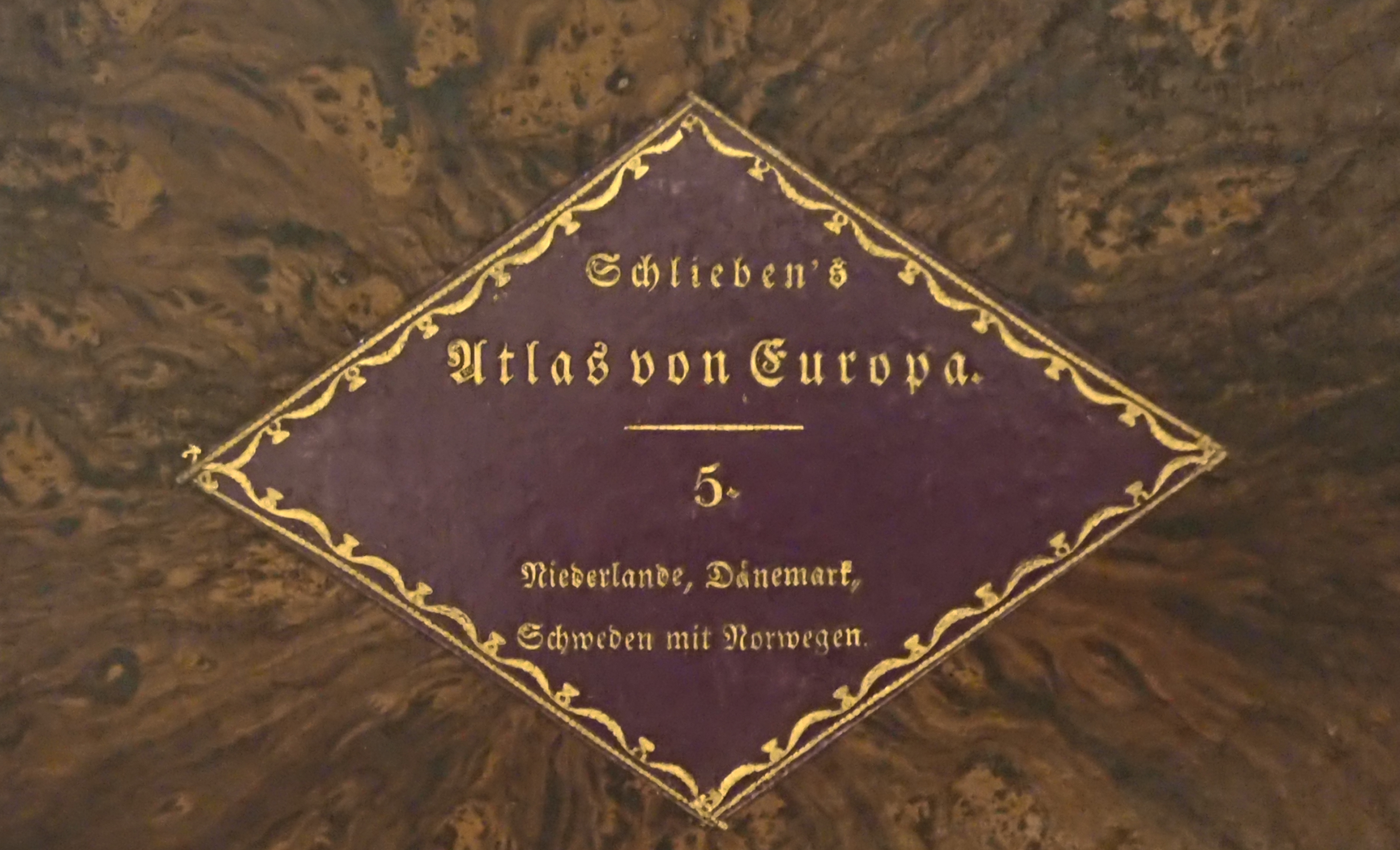
Original Kupferstiche, in zeitgenössischem Kolorit. 24 Blatt Kupferstichkarten u. beigleitender Text. Dritte Lieferung illustriert mit insgesamt 13 Blatt Kupferstichkarten zur Niederlande (incl. der dänischischen Kolonien), 6 Blatt Kupferstichkarten von Dänemark und 5 Blatt Kupferstichkarten von Norwegen und Schweden. Wilhelm Ernst August v. Schlieben, geboren zu Dresden am 24. Juli 1781 und † am 11. September 1839
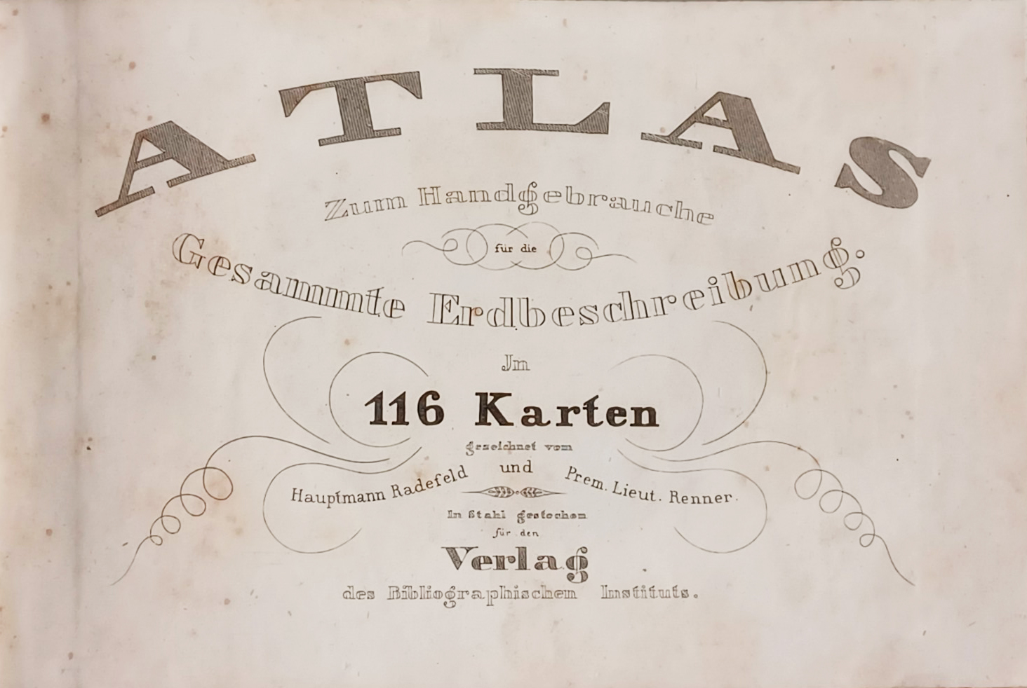
Title, 115 engraved maps (hand colored in outline) and index. The atlas comprises 103 fine engraved maps, mainly all of them are hand colored in outline and twelve engraved plates with 24 uncolored city plans, engraved in round. of VIII, 382 pp. and a Paris, Dentu, 1802, in-8, from VIII, 382 pp. and a folding map, blue cardboard from the Bradel era, First edition published when Louisiana was sold to France, it contains a long and interesting history as well as the vocabularies of the Dakota and Chippeway Indians. The work contains interesting details on the nature of the soil, the productions of trade and industry of the country, it traces the wars of the French against the English and the natives. Baudry des Lozières analyzes with finesse and precision the historical and current circumstances of Louisiana; it expands on its resources in wheat, wine, vegetables and game as well as on ornithology, ichthyology and entomology; he describes the culture of tobacco and the habits of the Louisiana people. The map engraved out of text by L. Collin goes from Canada to the Gulf of Mexico.
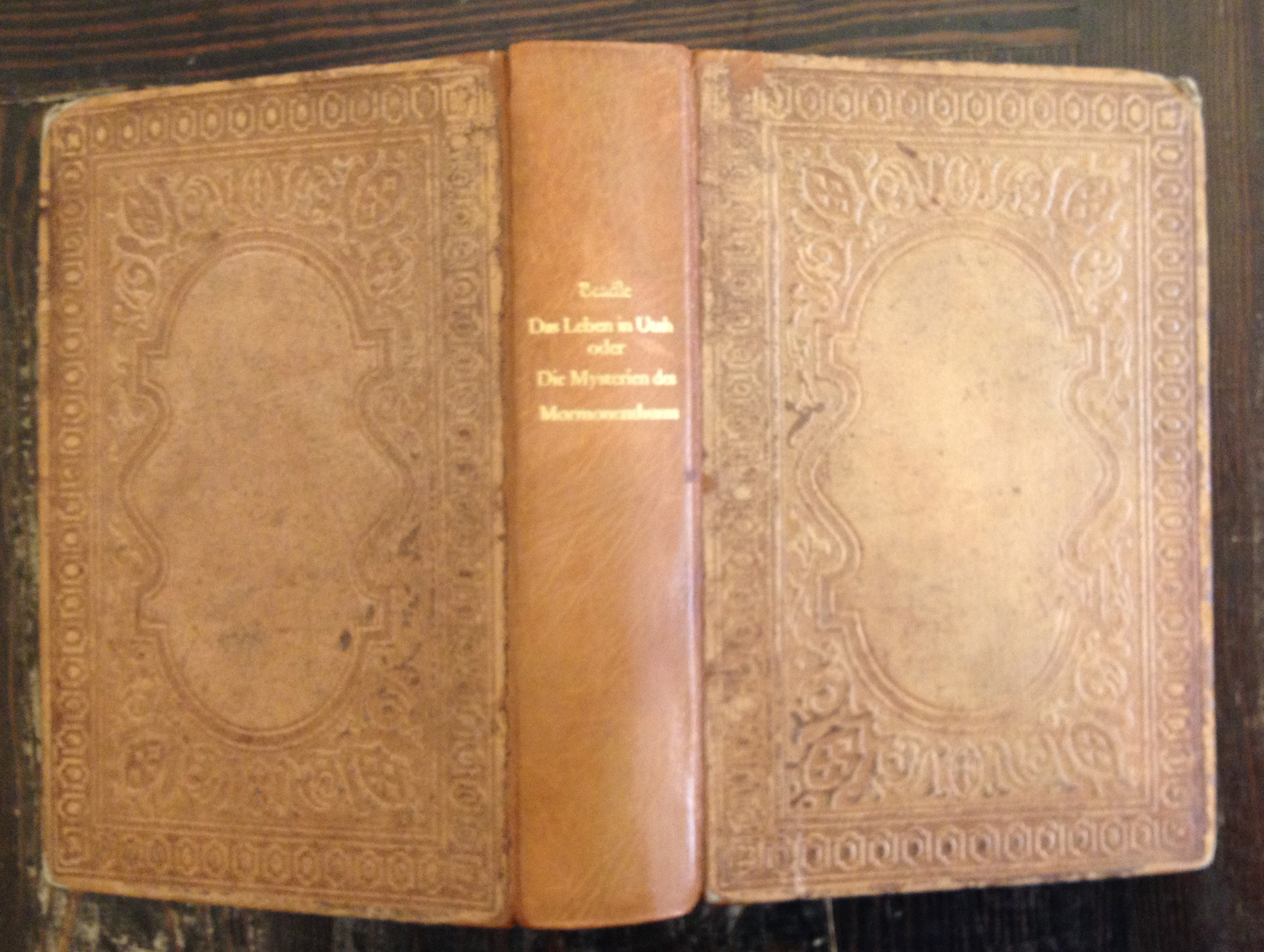
Illustrated with a woodcut illustrations,Portraits of leading Mormons' and the,Mormon Temple now being built in Salt Lake City' as frontispices next to the title, as well illustrated with one folded map,Map of Utah To Accompany Beadle's History of the Mormons' 210 by 215mm (8¼ by 8½ inches). 544 pp. with several partly fullpage woodcut illustrations in text.
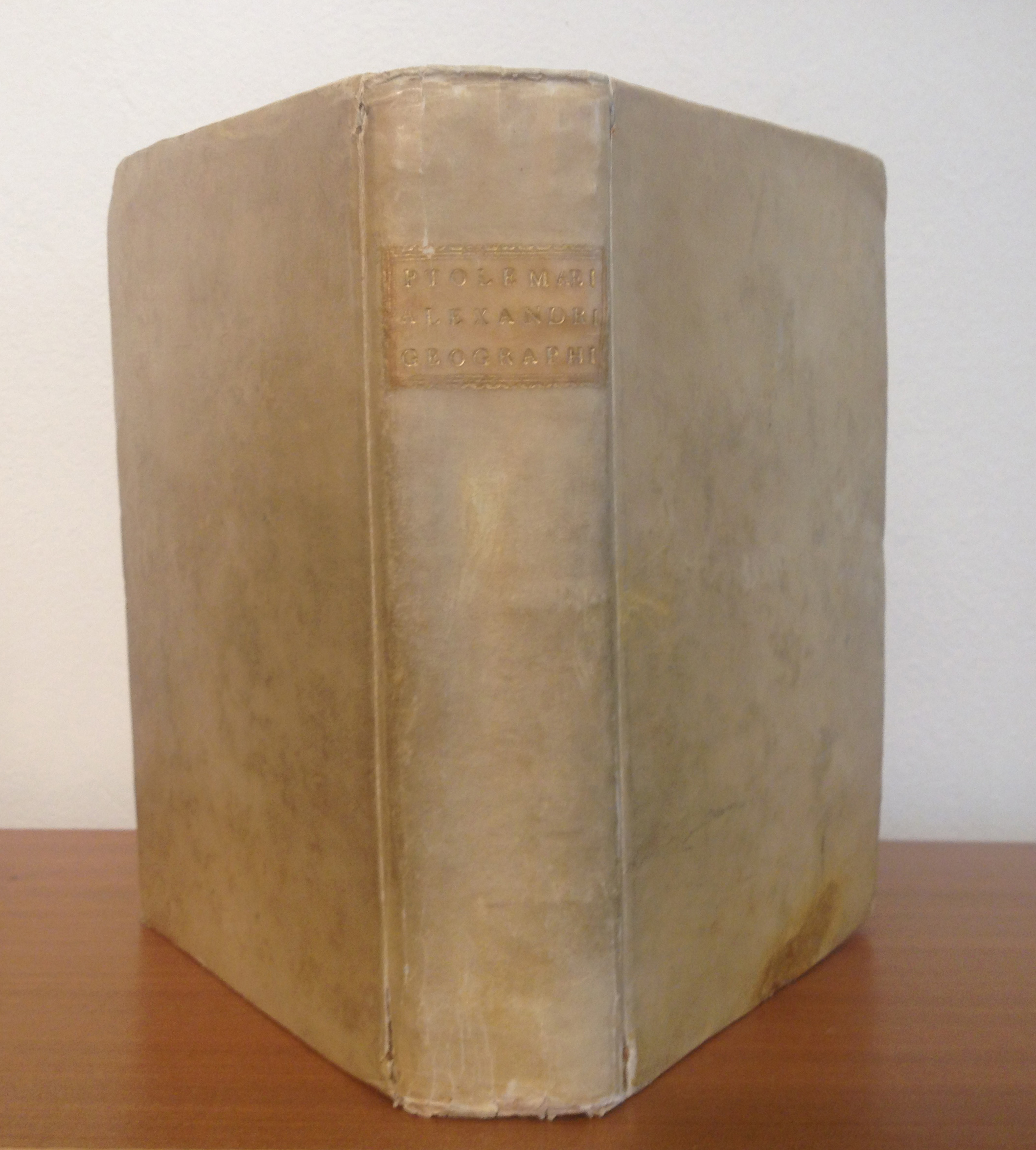
4to. Vellum binding. 4 unnum., 112 pp; 286 pp., 1 blank, 64 double page engraved maps, 32 unnumm. pp.; with woodcut printer's mark on title, ornamental woodcut initials, a few woodcut diagrams and as well tables in text. Illustrated with sixty-four double page fine engraved maps, throughout in strong and excellent impressions. A fine copy of this by Vincenzo Valgrisi in Venice 1562 published atlas, which is illustrated 27 Ptoemaic maps (with one ancient Ptolemy world map) and 37 so-called,modern' maps (among them two world maps by by Gastaldi,Orbis Descriptio' and,Carta Marina Nuova Tavola'). Among the other modern maps are the revised version by Rucelli of the,Zeno map' of the northern regions with depicting Groenland, Iceland and Norway. A highly interesting map for the exploration in the Northern Atlantic. Other maps depict Europe, Africa and Asia. Among them interesting maps of India, Thailand, Indonesia are included. The Americas are included with six double maps: Tierra Nueva (the Eastern Seaboard), Nueva Hispania Tabula Nova (Baja California with the gulf of Mexico), Tierra Nova (the South American continent), Brasil Nuova Tavola (Brazil), Isola Cuba Nova (Cuba) and Isola Spagnola Nova (Haiti).
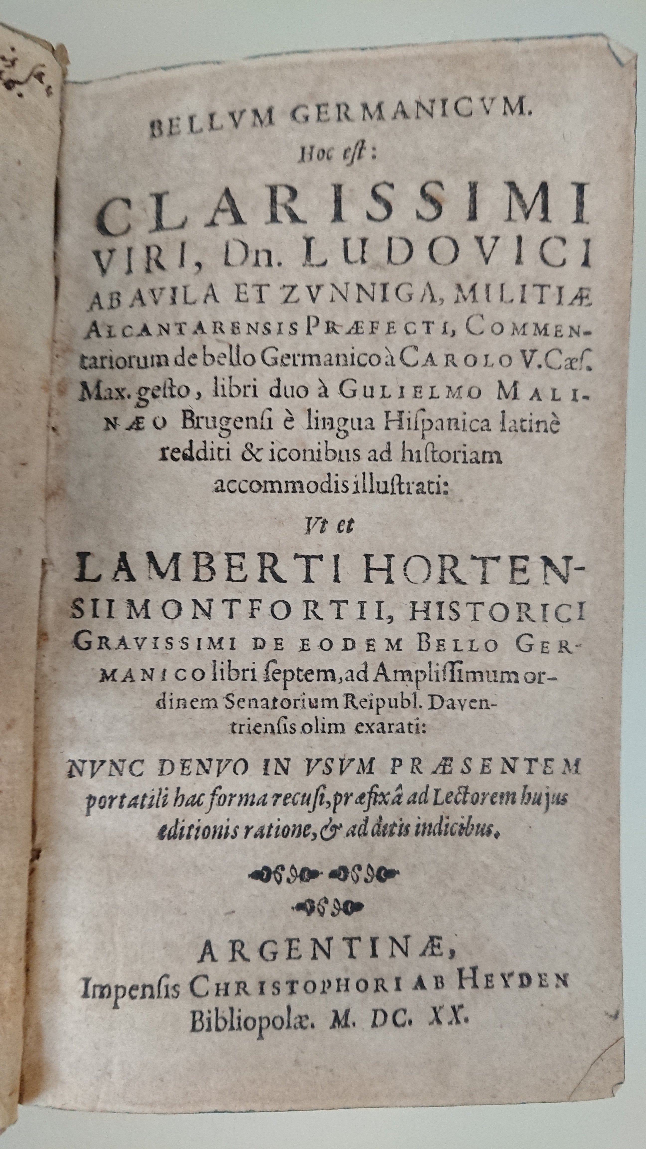
8 Bll. (inkl. Titel), 438 S., 8 Bll. (Index), 2 gefaltete Kupferradierungen. Eine Kupferradierung des Lagers vor Ingolstadt im Schmalkaldener Krieg ist eingebunden auf Seite 54 und eine weitere Kupferradierung,Caroli V. Caes. Post Albin Svperatvm cum Ion. Faederico conflictus An.o. 1547' auf Seite 254, die die Schlacht von Mühlberg mit den Spaniern zeigt, die mit Schwertern im Mund über die Elbe schwimmen. Beschrieben unter Kat. 5 im Buch,Bilddokumente der Stadt Ingolstadt 1519-1930' herausgegeben von Siegfried Hofmann und Wilhelm Reissmüller.
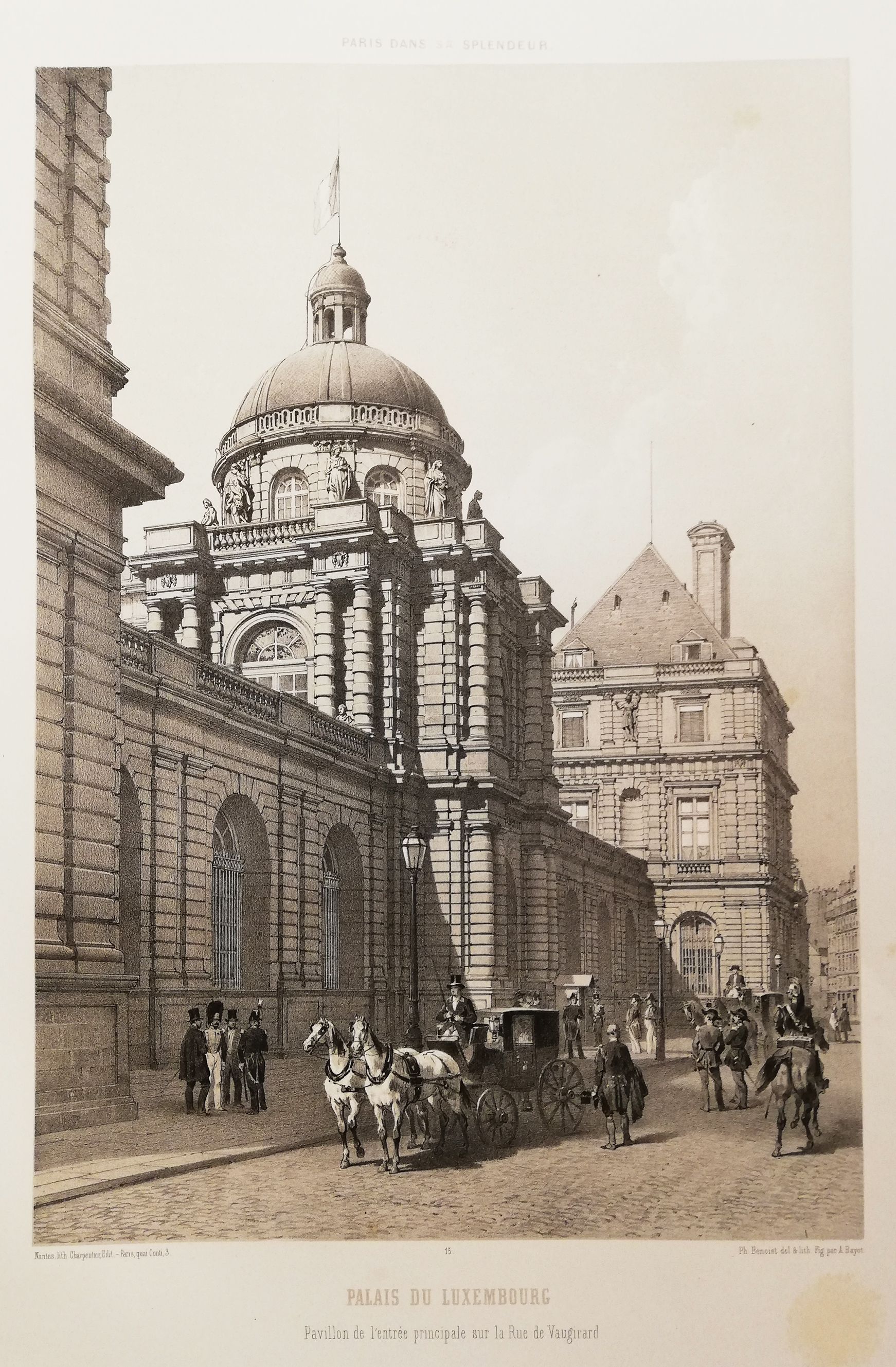
Probably one of the nicest large folio Paris-albums with views published in the 19th century. The lithographed plates partly after photographs with stimulate figurative lively scenes. From volume I the plate number six ,Le Louvre - nouvelle facade sur la rue de Rivoli' is missing, the plate was probably not bound to it. Illustrated with 99 (100) tinted lithographed plates. Contem. half-calf. Published in three volumes, the text was written by various authors, including Louis Enault, Mary Lafon, Pr. Mérimée, Viollet Le Duc and others. Volume I and II do contain a description of Paris, volume III is about the history of Paris and about its surrounding. Bound in beautiful midnight blue half leather with gold embossed roses and title on the spine.
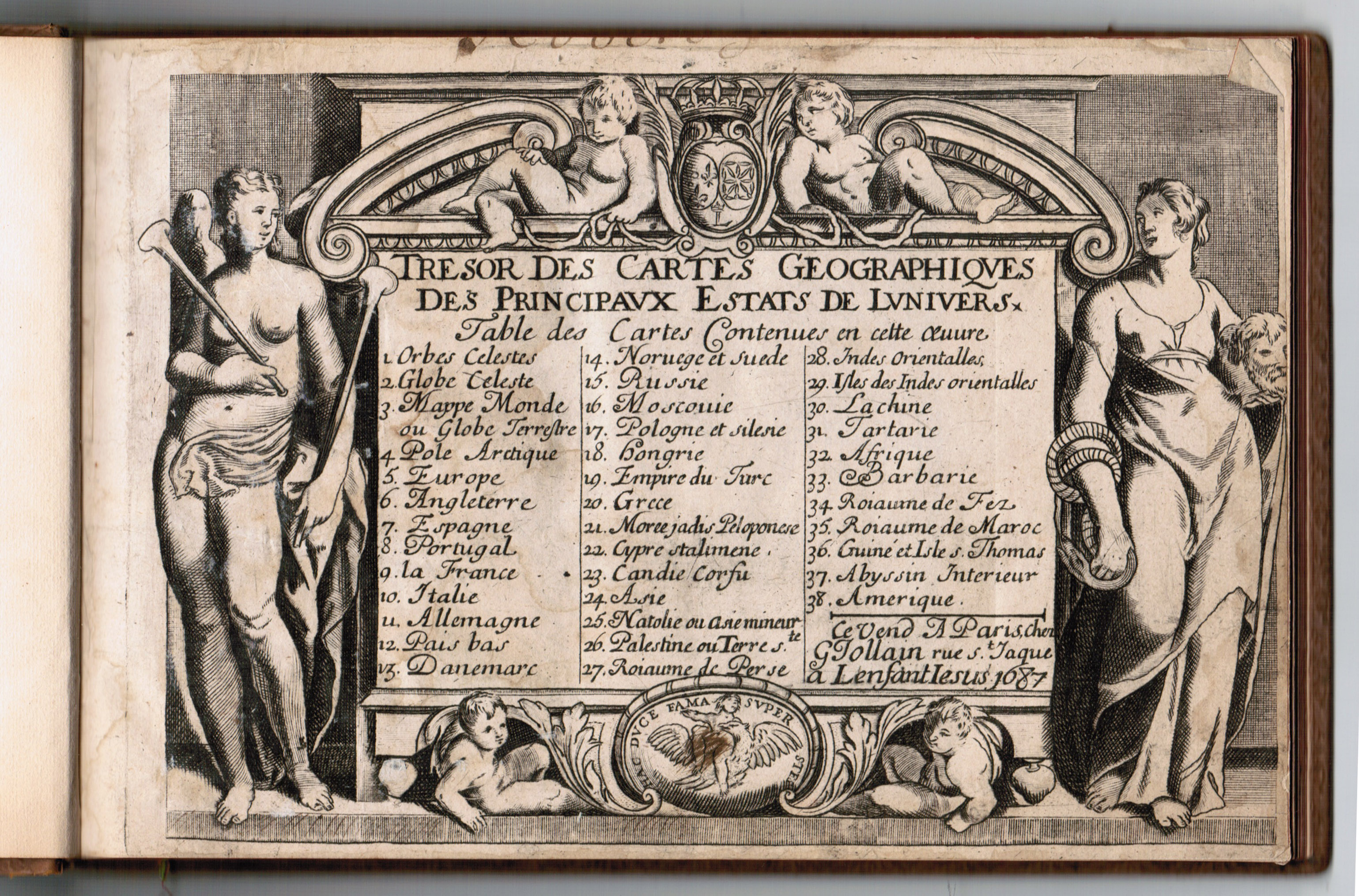
Rare atlas by Jollain with engraved title and 38 engraved maps. This small atlas of 38 maps is known by several publisher names. The first edition that is recorded, is that of Jean Boisseau in 1643. The maps of this atlas are faithful copies of the "Atlas Minor" of Mercator-Hondius of 1628, this atlas was copied by N. Picart (1657-59). The same edition exists with Jollain's address. Jollain finally reissued the atlas in 1667 with some modifications. The scales are most often removed (because too inaccurate) and replaced by the mention of "excudit" by Jollain and sometimes the date of 1667. The titles of Russia and Muscovy were interchanged. Rare atlas by Jollain with engraved title and 38 engraved maps. The map of France was missing and was replaced from another copy. Our example has has the following imprint with date on the engraved title page:,Le Vent A Paris, Chez G Jollain rue St. Jaque a Lenfant Iesus 1687'.