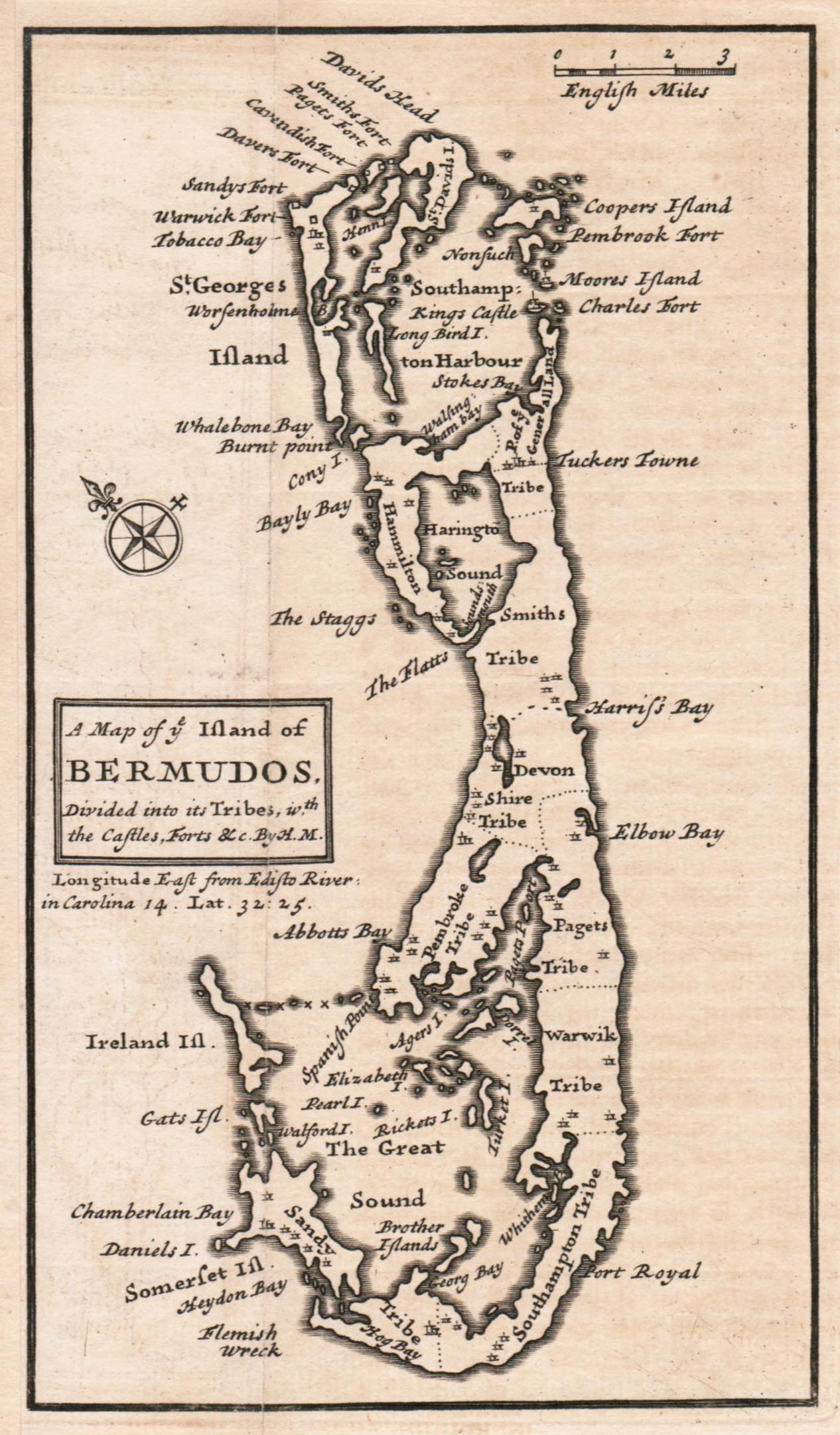
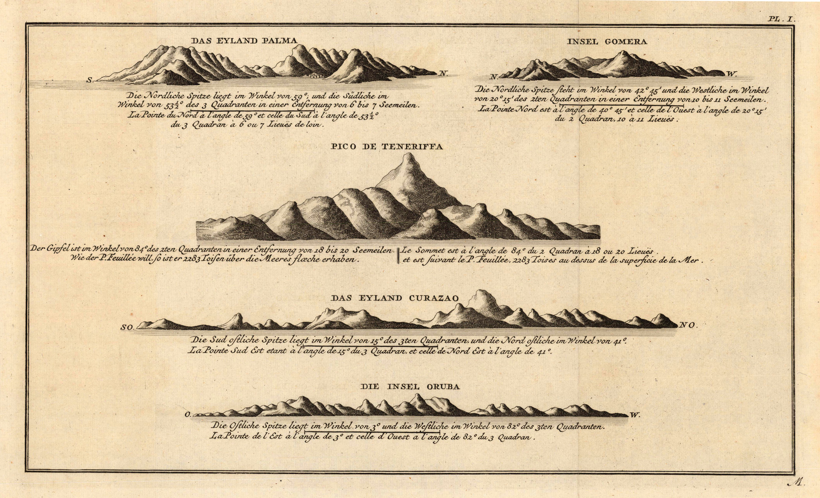
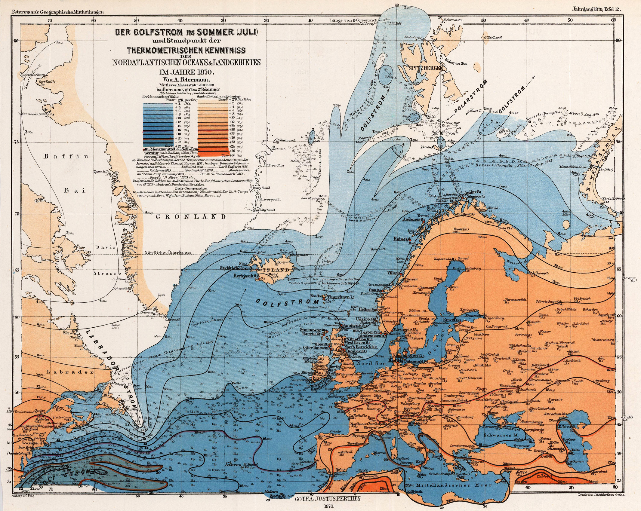
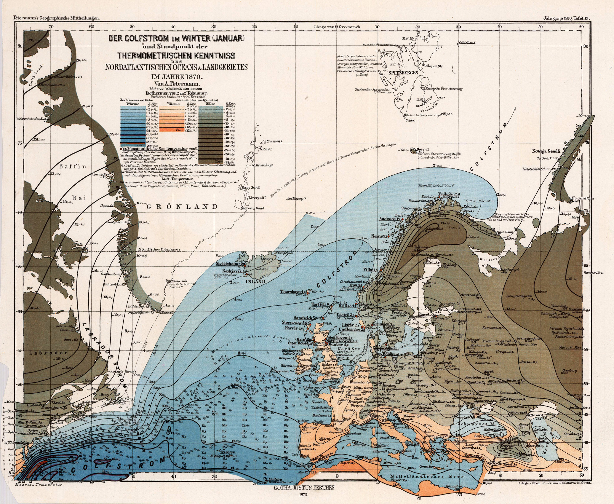
Copper engraving, uncolored as published. The Geographer Hermann Moll worked came originally from the Netherlands and worked in London in the beginning for Moses Pitt. Later he became one of the important map publishers in England. The atlases, which he published were widely well known. He engraved as well maps for other English publishers (John Seller, etc.) .
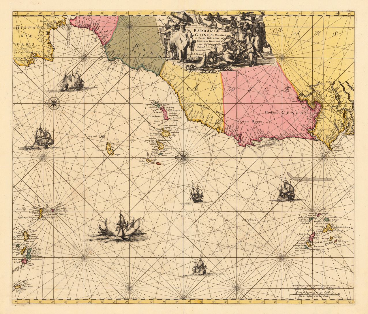
Copper-engraving, hand colored in outline and wash when published. Large and decorative sea chart showing West Africa with the Canary and Cap Verden Islands in the Atlantic Ocean. The map is equipped with two compass roses and several sailing boats. Published around 1700 in Louis Renard's famous sea-atlas. Louis Renard received the copperplates of Frederic De Witt´s sea-atlas and did only minor modifications in the engraved titles. The image of the map is orientated with the North to the East.
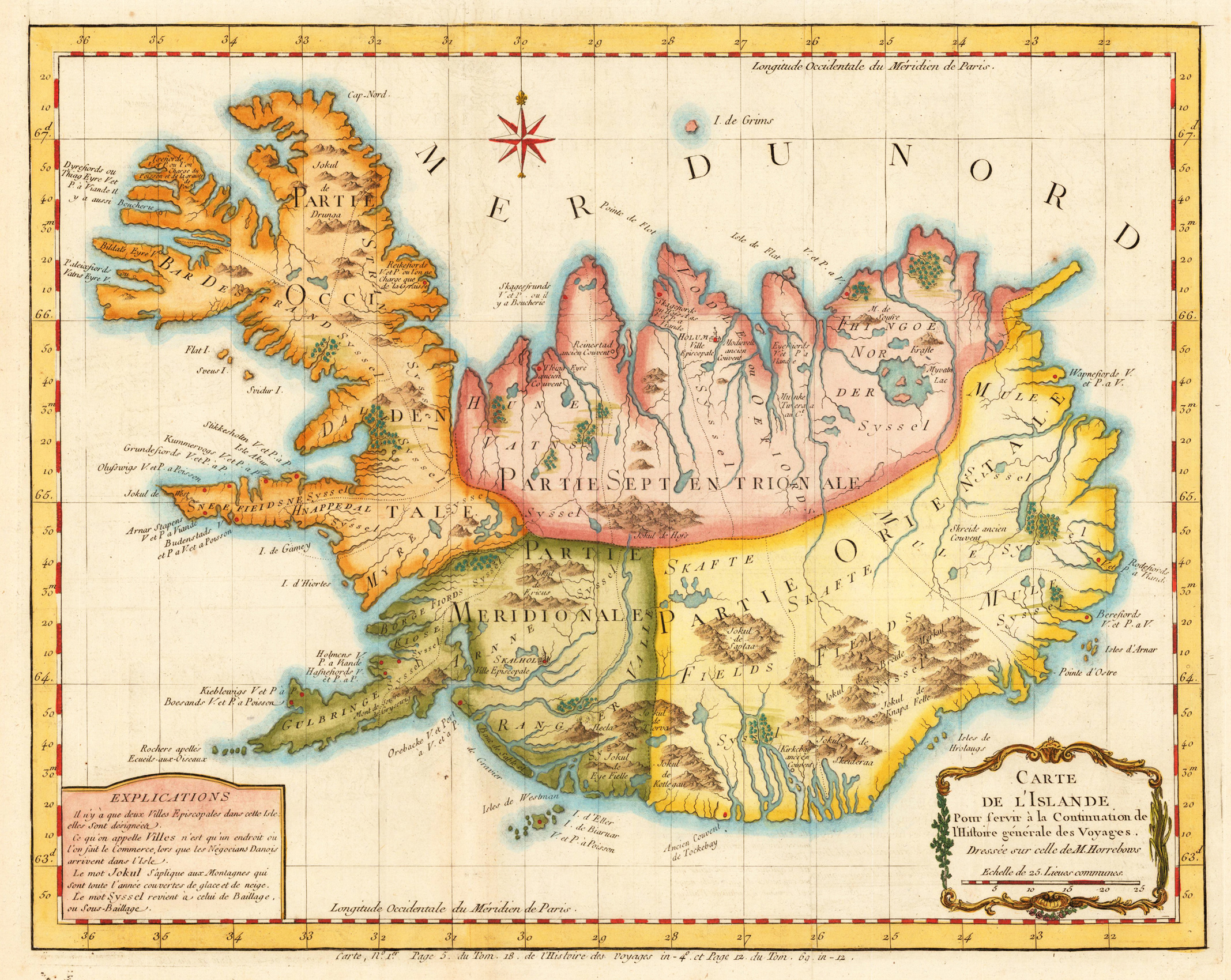
Copper engraving, hand colored. A decorative detailed antique map of Iceland published in Bellin's travel books around 1760. The interesting old map of Iceland with engraved mountains, rivers, lakes, vulcanos, very few engraved place names, further the names of the various syssels, which are a historical type of country subdivision in Iceland.
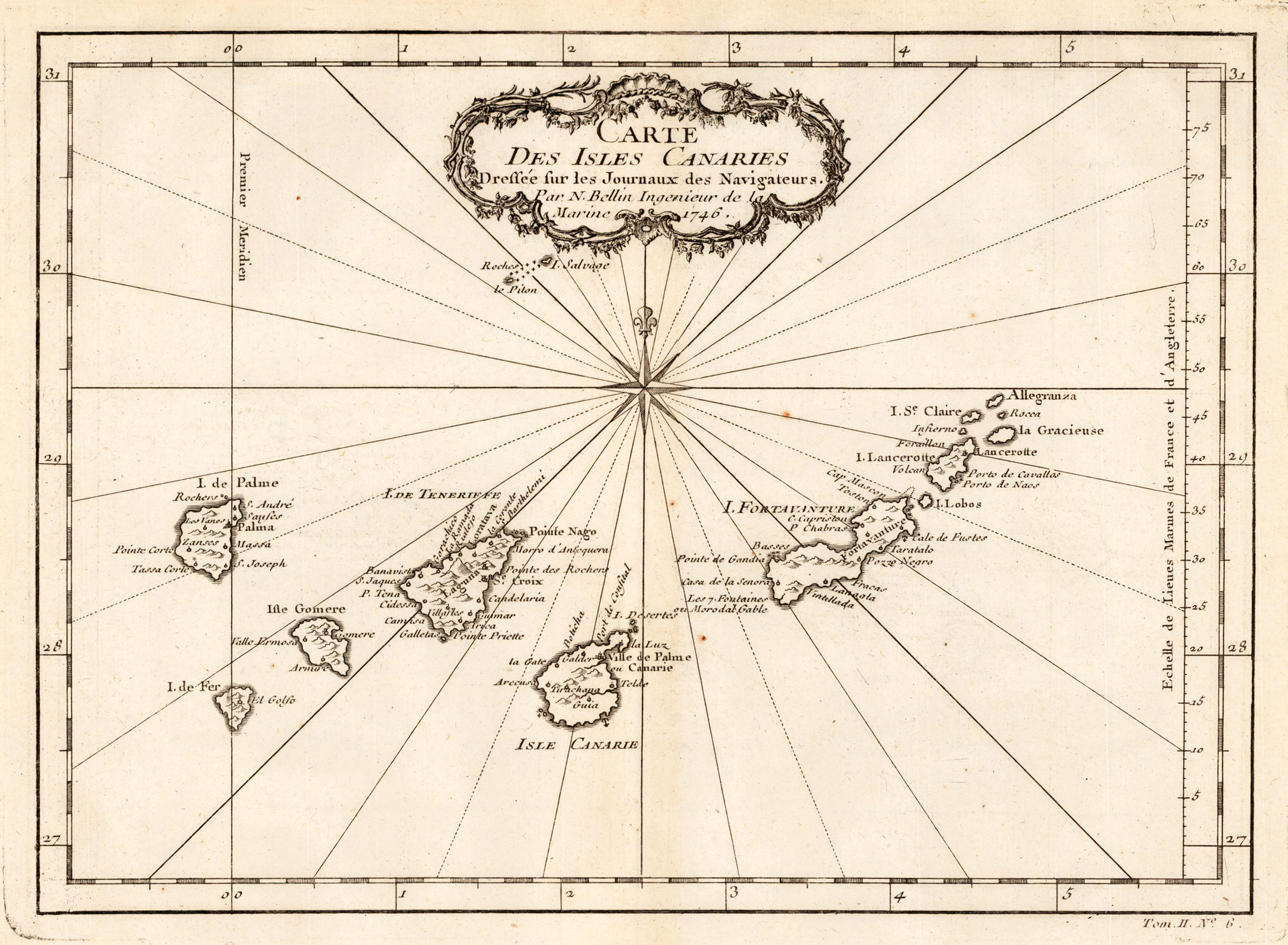
Copper engraving, uncolored as published. Jacques Nicolas Bellin (1703 – 21 March 1772) was a French hydrographer, geographer, and member of the French intellectual group called the philosophes. Bellin was born in Paris. He was hydrographer of France's hydrographic office, member of the Académie de Marine and of the Royal Society of London. Over a 50-year career, he produced many maps of particular interest to the Ministère de la Marine. His maps of Canada and of French territories in North America (New France, Acadia, Louisiana) are particularly valuable. He died at Versailles. First Ingenieur de la Marine In 1721, at age 18, he was appointed hydrographer (chief cartographer) to the French Navy. In August 1741, he became the first Ingénieur de la Marine of the Dépot des cartes et plans de la Marine (the French Hydrographical Office) and was named Official Hydrographer of the French King.
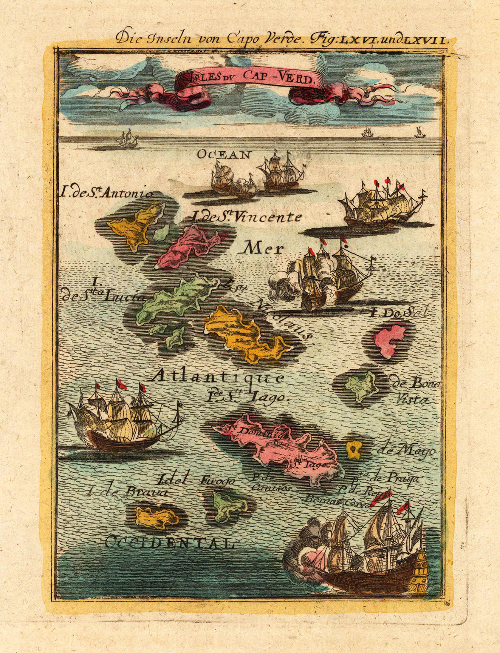
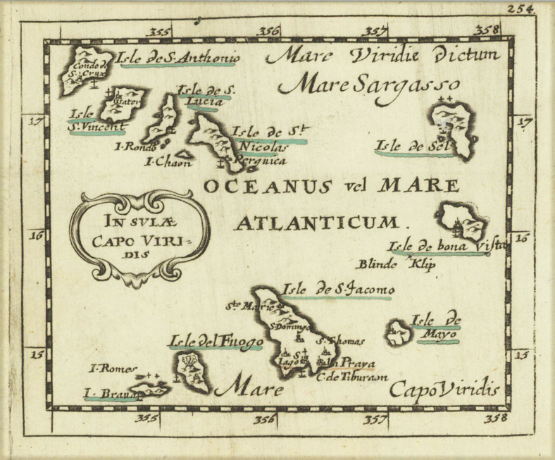
Copper engraving, hand colored in wash and outline, published in Allain Manesson Mallet's description of the world. This fine antique map shows the Cap Verde Islands. The islands are St. Antonio, St. Vincente, St. Lucia, St. Nicolaus, Sol, Bona Vista, St. Jago, Brava, Fuogo. The map is equipped with many sailing ships in the Atlantic Ocean.
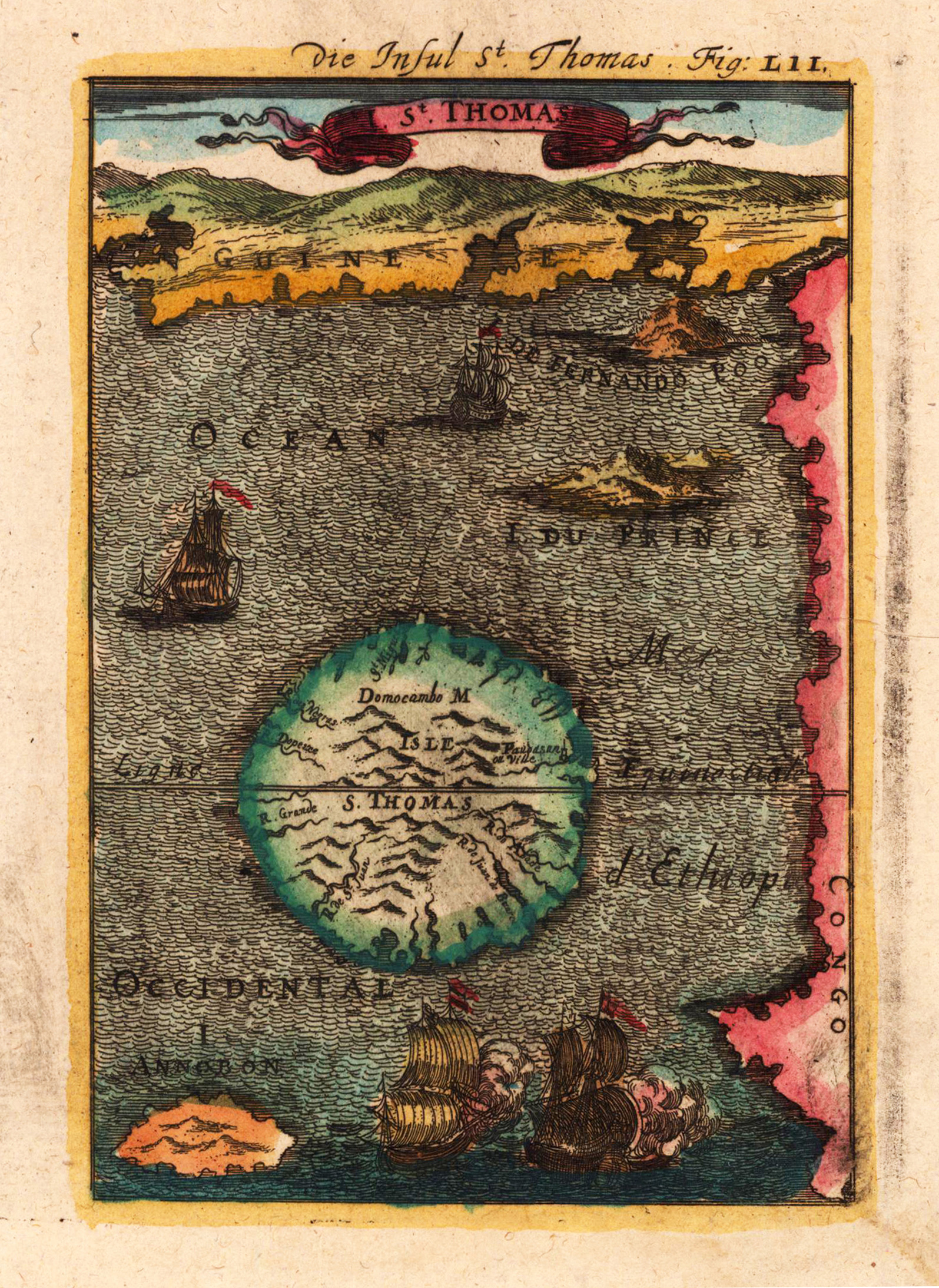
Copper engraving, hand colored in wash and outline, published in Allain Manesson Mallet's description of the world. This antique map shows a picture from the Island of St. Thomas located in the Atlantic Ocean near West Africa. The map shows many ships, mountains, etc.
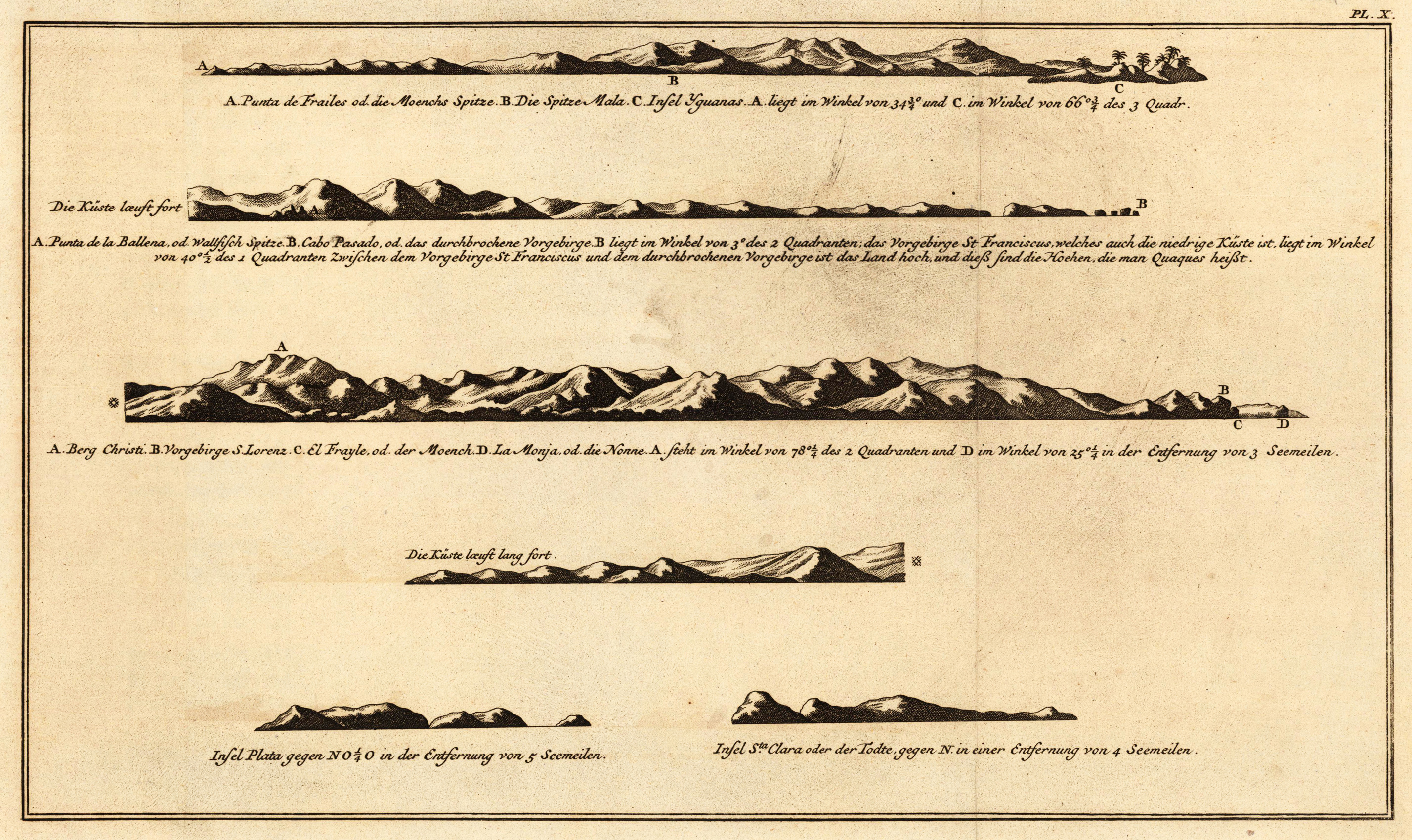
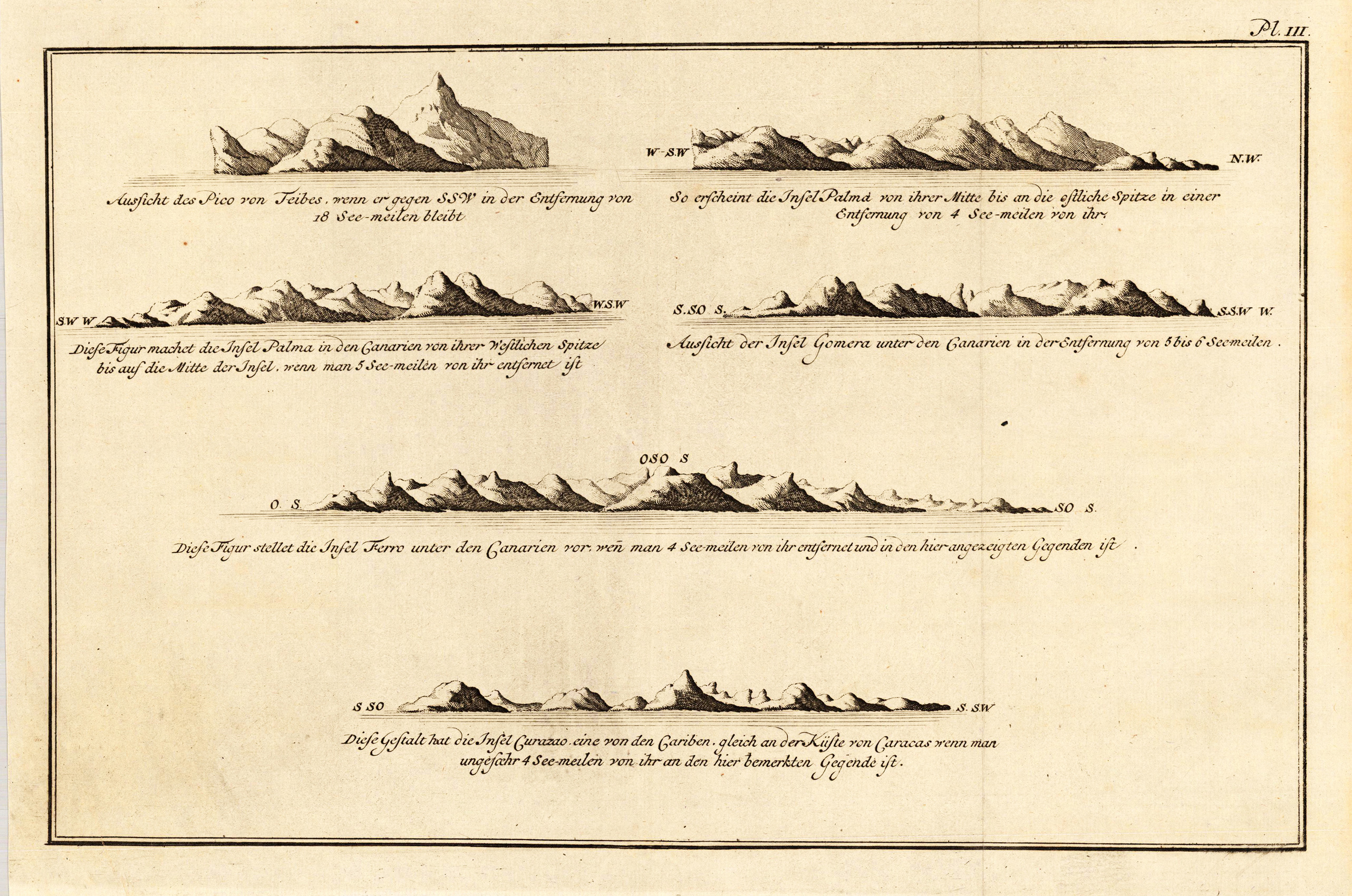
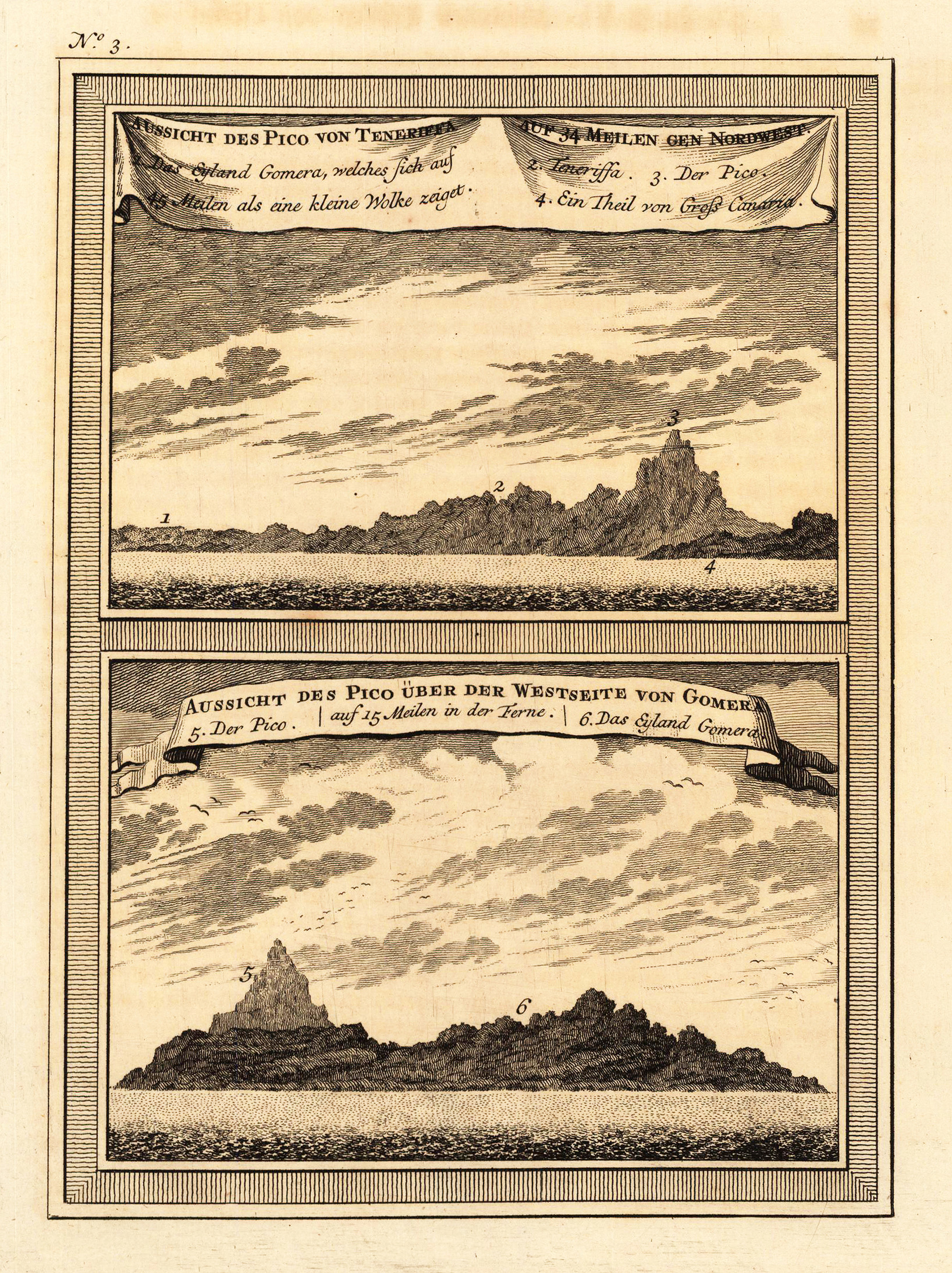
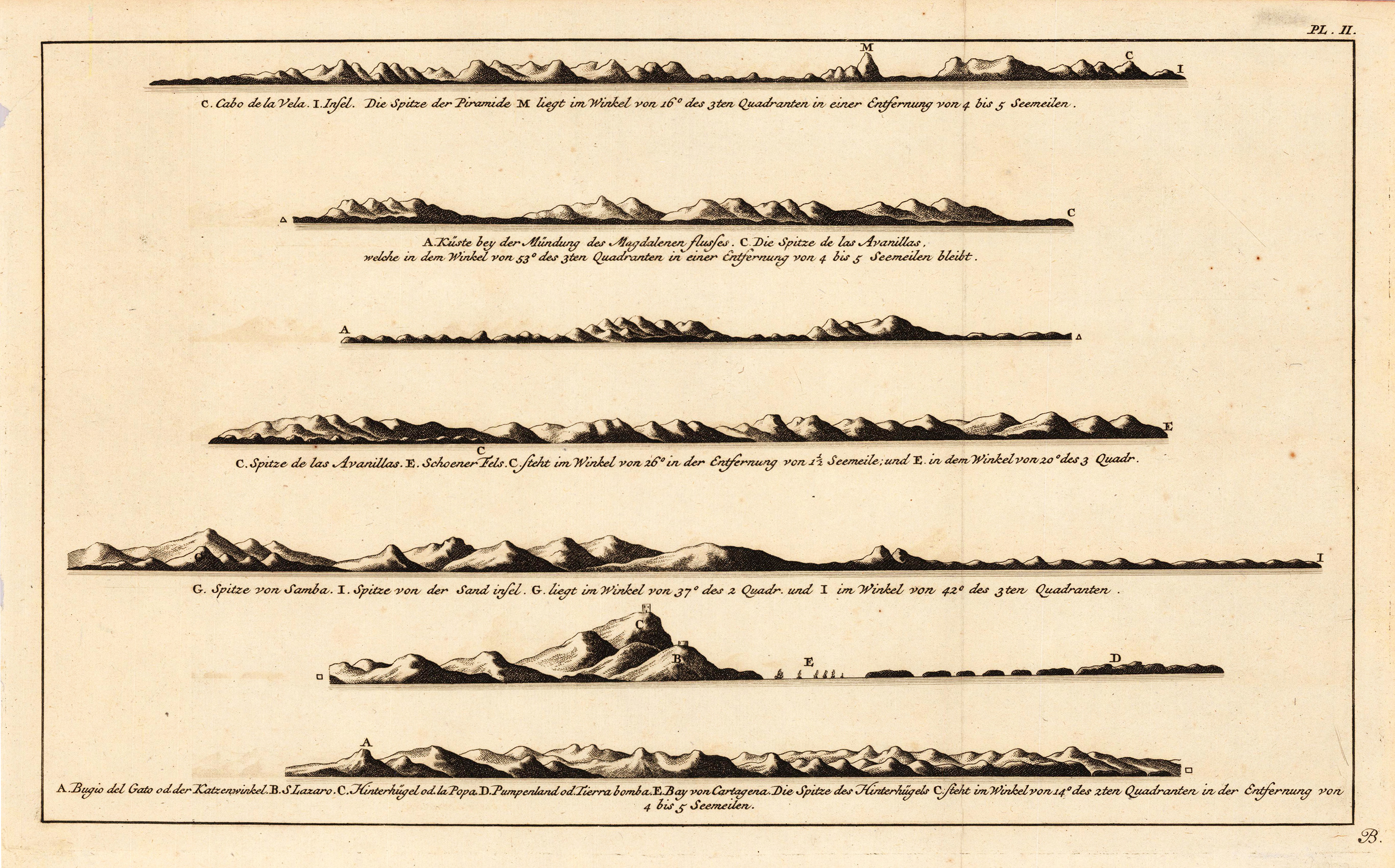
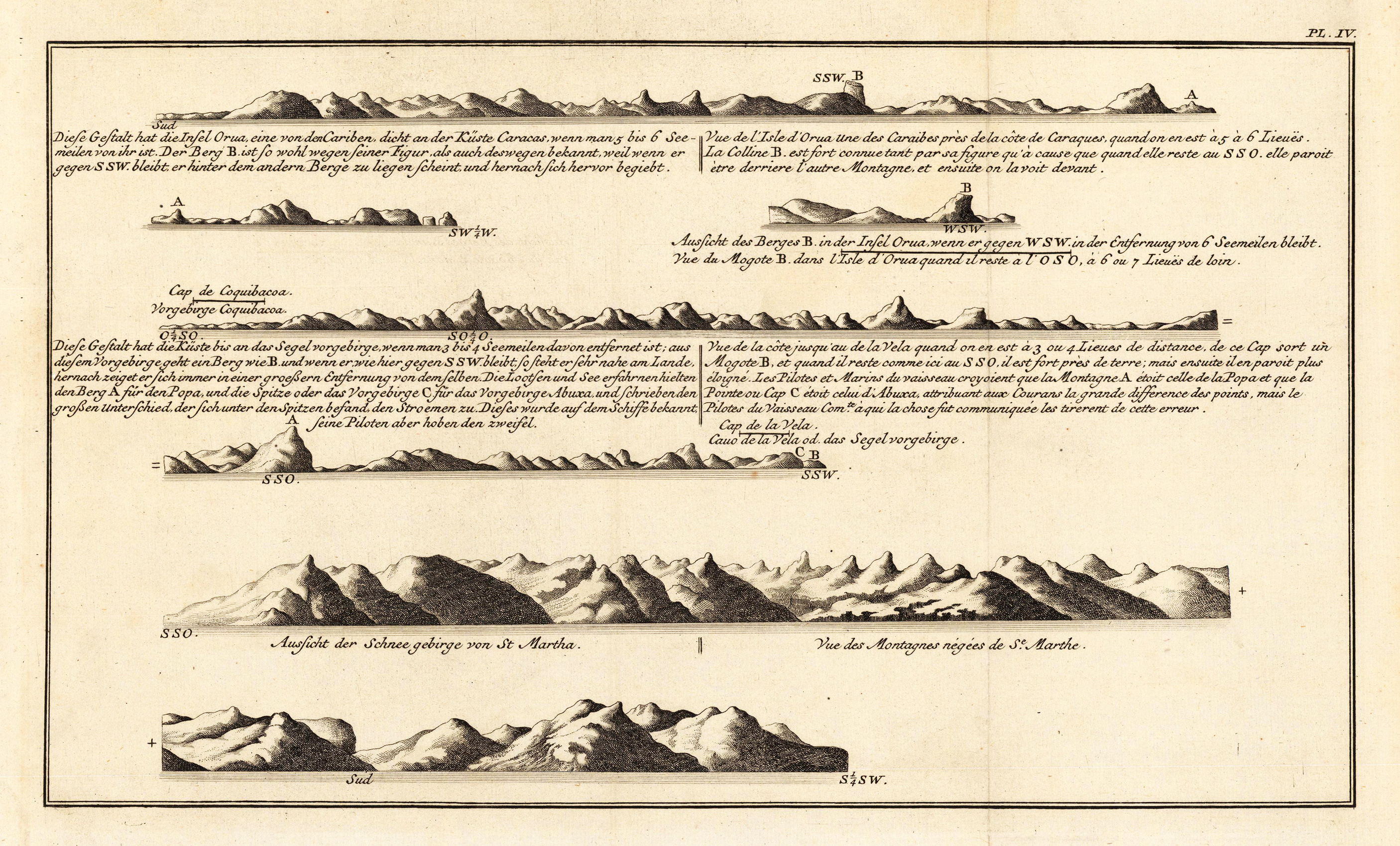
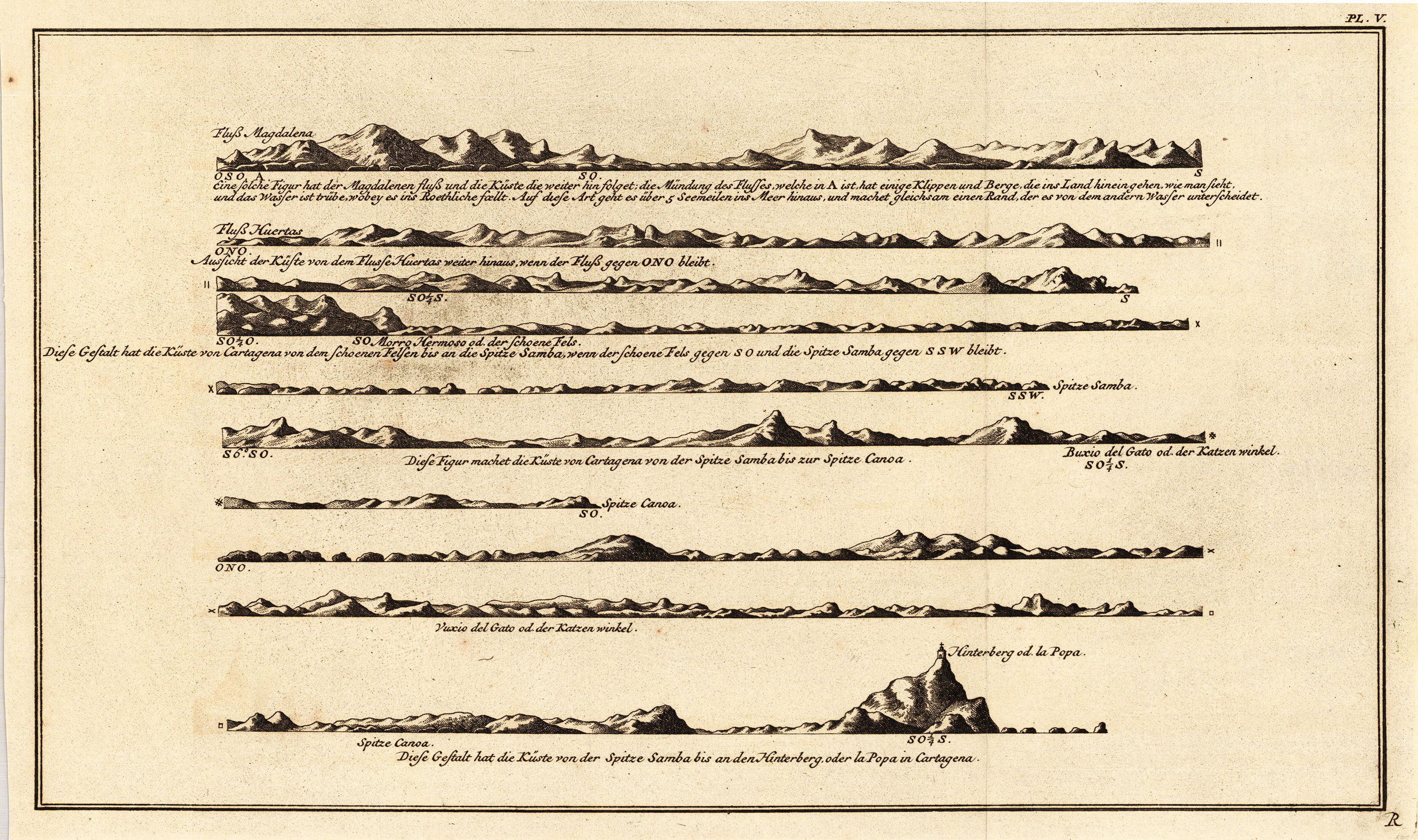
Copper engraving, uncolored as published. Along the coastlines engraved anchor places, as well names of the bays, mountains and other places. A fine detailed and interesting map engraved by Bellin after earlier voyages. Published in the German edition by Schwabe in Leipzig of Bellin's travel books.
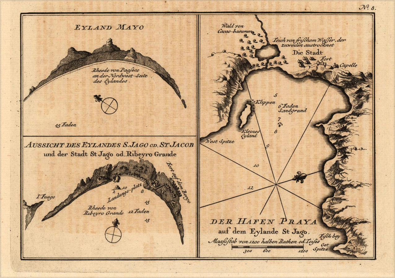
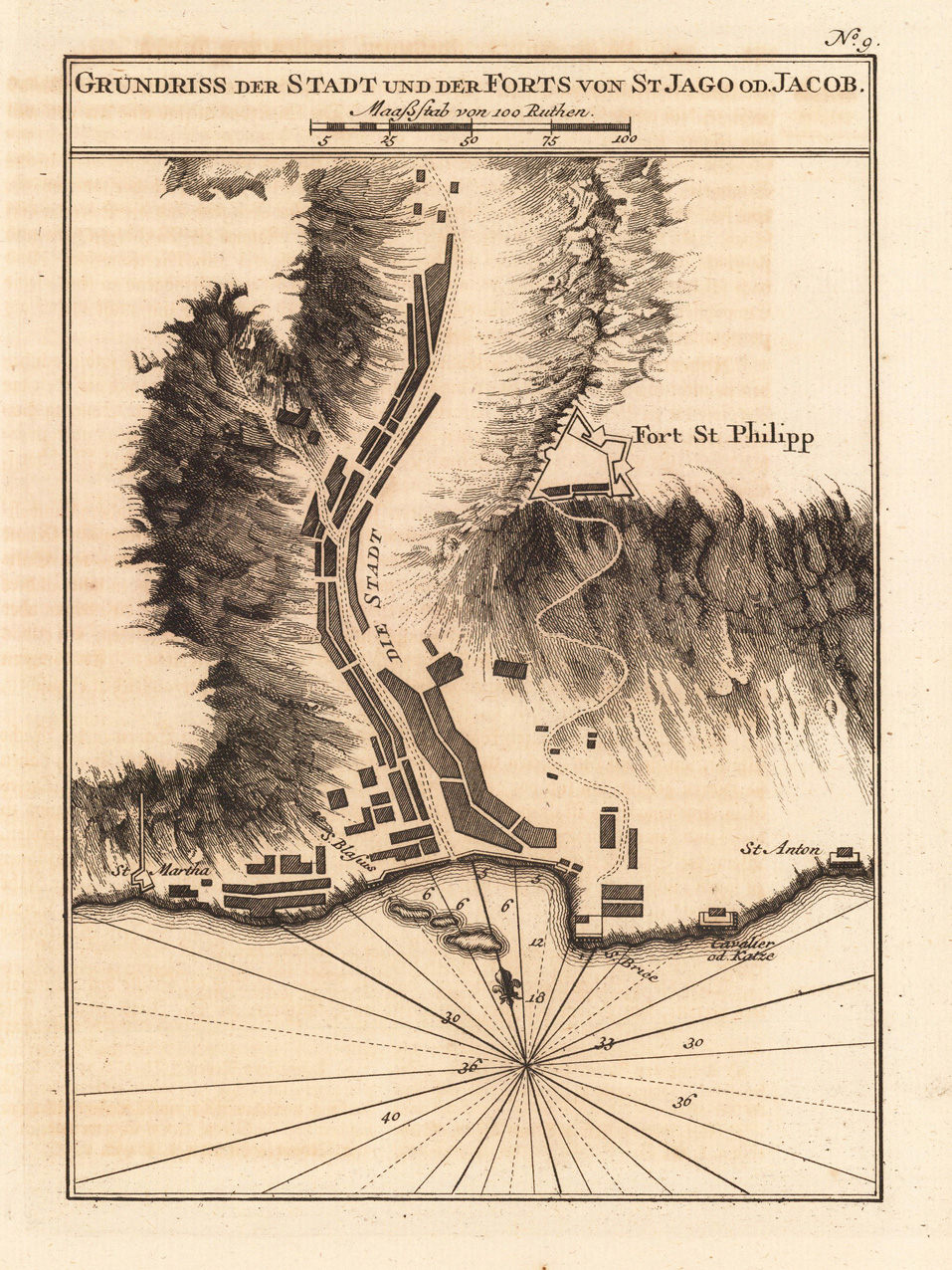
Copper engraving, uncolored as published. This beautiful map is a bird´s eye view and shows the ground plan from the town and the Fort of Sant Jago. A fine detailed and interesting map engraved by Bellin after earlier voyages. Published in the German edition by Schwabe in Leipzig of Bellin's travel books.
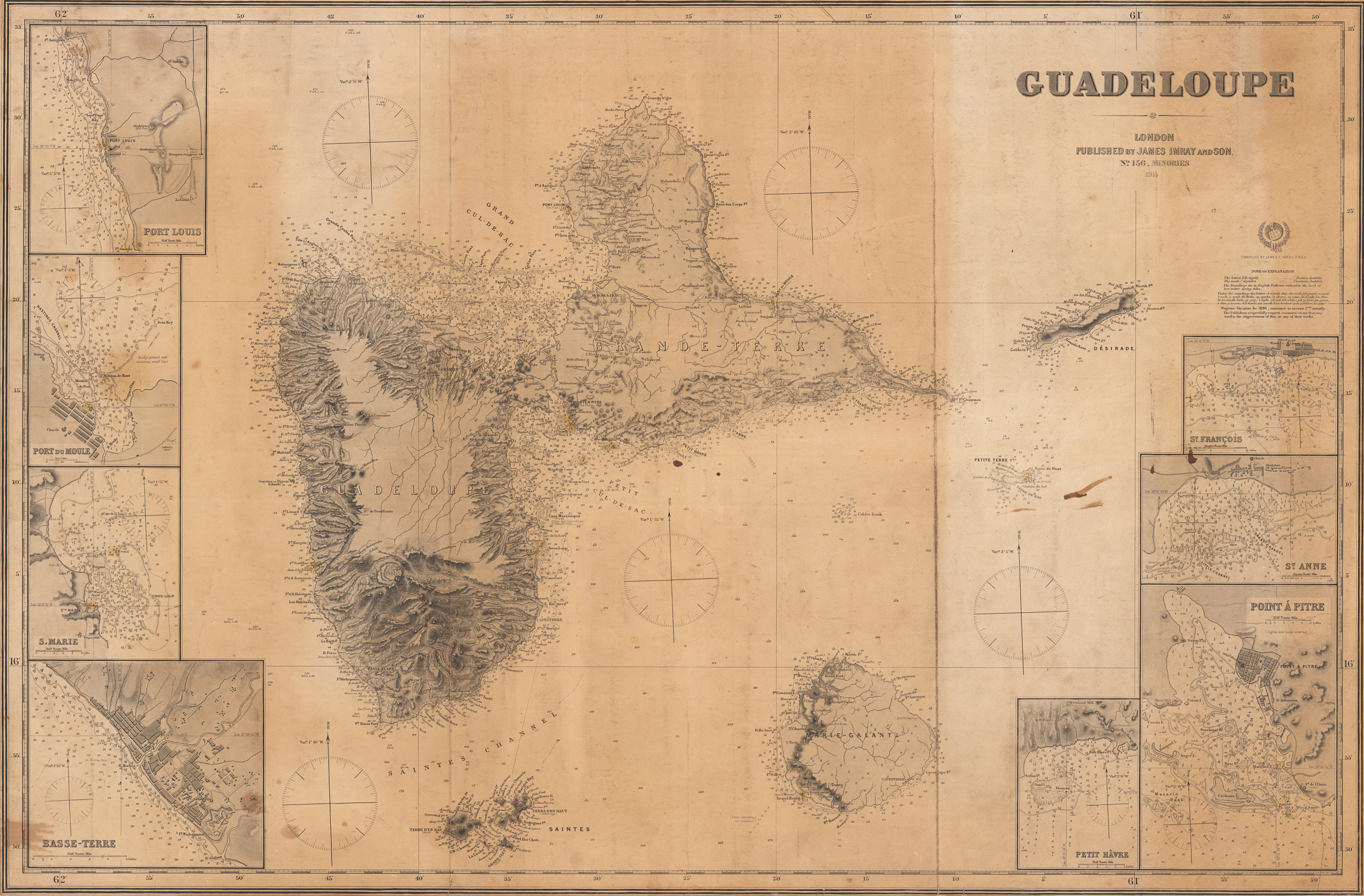
Original antique steel engraving. Large sea chart of Guadeloupe and its surroundings with 8 inset maps of the harbours. Designed very detailed as an aid for navigation at sea, using the Mercator projection, so the position can be taken directly from the map. The chart include chart null, shorelines, fairway markings (inset maps) etc. that might aid navigation.
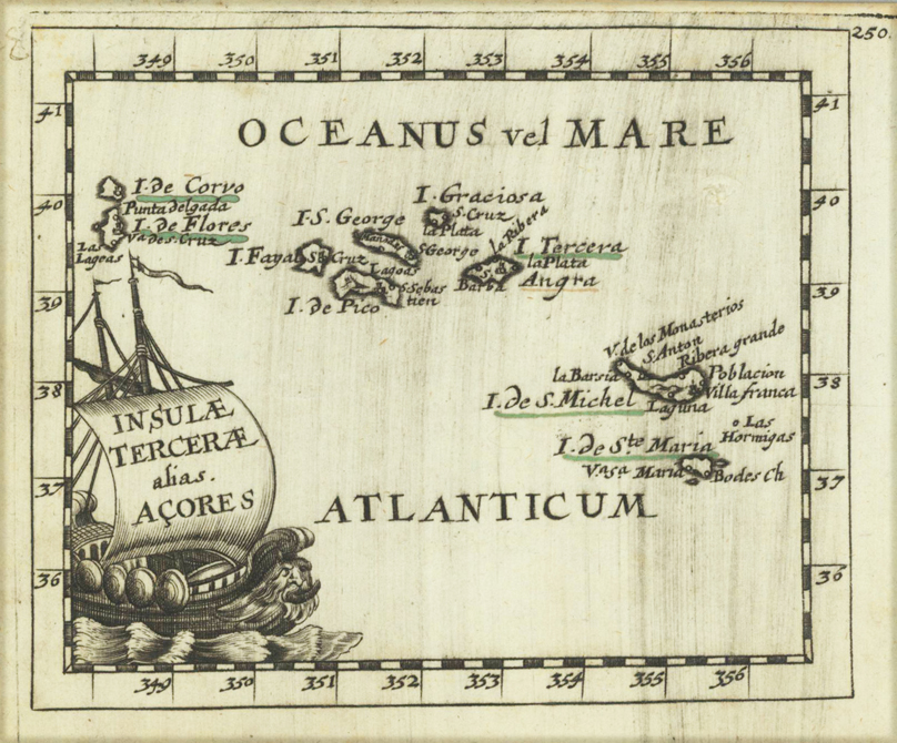
Original copper engraving, uncolored. Published in Pierre Du Val's atlas ,Anderer Theil der allgemeinen Weltbeschreibung von Europa' (German edition Nürnberg at Johann Hoffmann & Christoph Gerhard.
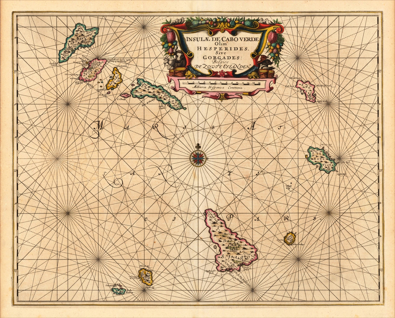
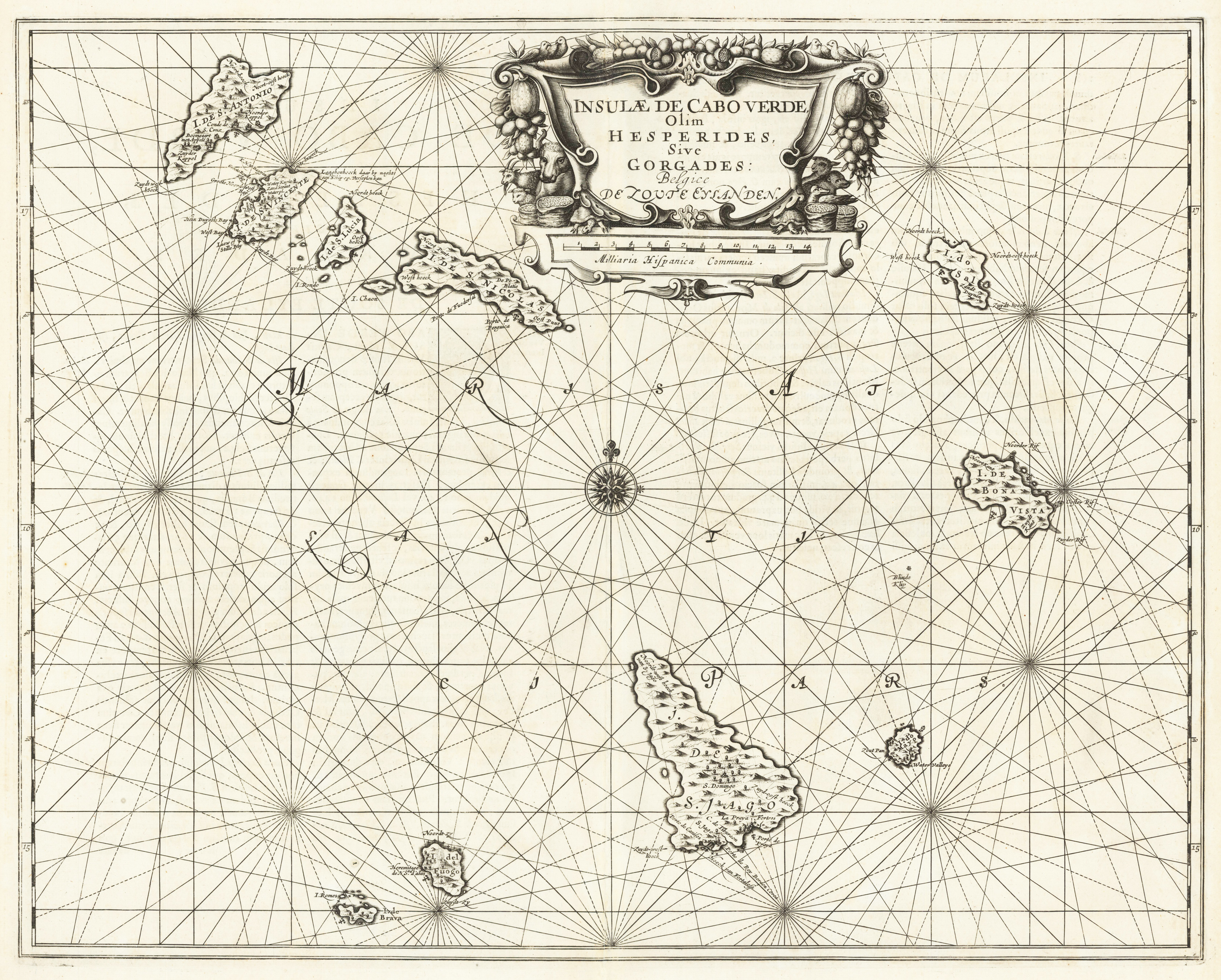
Original antique copper engraving, hand colored in outline when published. Double page sea chart covering detailed the Cap Verde Islands in the Atlantic Ocean (Isla de San Antonia, San Vincente, S. Lucia, S. Nicolas, I. do Sal, de Bona Vista, do Mayo, S. Jago, del Fuogo, de Brava). Many place names of smaller towns are listed along the coast lines the islands. As well some anchor places and depths are marked. In the upper centre a large figurative title cartouche in full contemporary colors. Below an additional cartouche with a scale of miles is present. In the centre of the sea chart a compass rose. The map was published ca. 1655 in Jansson's 'Sea-Atlas' (volume V). This sea-atlas, was the first real Sea-Atlas (Koeman), which covered areas over the whole world. Johannes Janssonius (1588, Arnhem – buried July 11, 1664, Amsterdam) (born Jan Janszoon, in English also Jan Jansson) was a Dutch cartographer and publisher who lived and worked in Amsterdam in the 17th century. Janssonius was born in Arnhem, the son of Jan Janszoon the Elder,[1] a publisher and bookseller. In 1612 he married Elisabeth de Hondt, the daughter of Jodocus Hondius. He produced his first maps in 1616 of France and Italy. In 1623 Janssonius owned a bookstore in Frankfurt am Main, later also in Danzig, Stockholm, Copenhagen, Berlin, Königsberg, Geneva and Lyon. Elisabeth Hondius died in 1627 and he remarried Elisabeth Carlier in 1629. In the 1630s he formed a partnership with his brother in law Henricus Hondius, and together they published atlases as Mercator/Hondius/Janssonius. Under the leadership of Janssonius the Hondius Atlas was steadily enlarged. Renamed Atlas Novus, it had three volumes in 1638, one fully dedicated to Italy. In 1646, a fourth volume came out with "English County Maps", a year after a similar issue by Joan Blaeu. Janssonius' maps are similar to those of Blaeu, and he is often accused of copying from his rival, but many of his maps predate those of Blaeu and/or covered different regions. By 1660, at which point the atlas bore the appropriate name "Atlas Major", there were 11 volumes, containing the work of about a hundred credited authors and engravers. It included a description of "most of the cities of the world" (Townatlas), of the waterworld (Atlas Maritimus in 33 maps), and of the Ancient World (60 maps). The eleventh volume was the Atlas of the Heavens by Andreas Cellarius. Editions were printed in Dutch, Latin, French, and a few times in German. After Janssonius's death, the publishing company was continued by his son-in law, Johannes van Waesbergen. The London bookseller Moses Pitt attempted publication of the Atlas Major in English, but ran out of resources after the fourth volume in 1683. (Wikipedia)
Original copper engraving, uncolored published. Double page sea chart covering detailed the Cap Verde Islands in the Atlantic Ocean (Isla de San Antonia, San Vincente, S. Lucia, S. Nicolas, I. do Sal, de Bona Vista, do Mayo, S. Jago, del Fuogo, de Brava). Many place names of smaller towns are listed along the coast lines the islands. As well some anchor places and depths are marked. In the upper centre a large figurative title cartouche in full contemporary colors. Below an additional cartouche with a scale of miles is present. In the centre of the sea chart a compass rose. The map was published ca. 1655 in Jansson's 'Sea-Atlas' (volume V). This sea-atlas, was the first real Sea-Atlas (Koeman), which covered areas over the whole world.
Original copper engraving, uncolored. Published in Pierre Du Val's atlas ,Anderer Theil der allgemeinen Weltbeschreibung von Europa' (German edition Nürnberg at Johann Hoffmann & Christoph Gerhard.
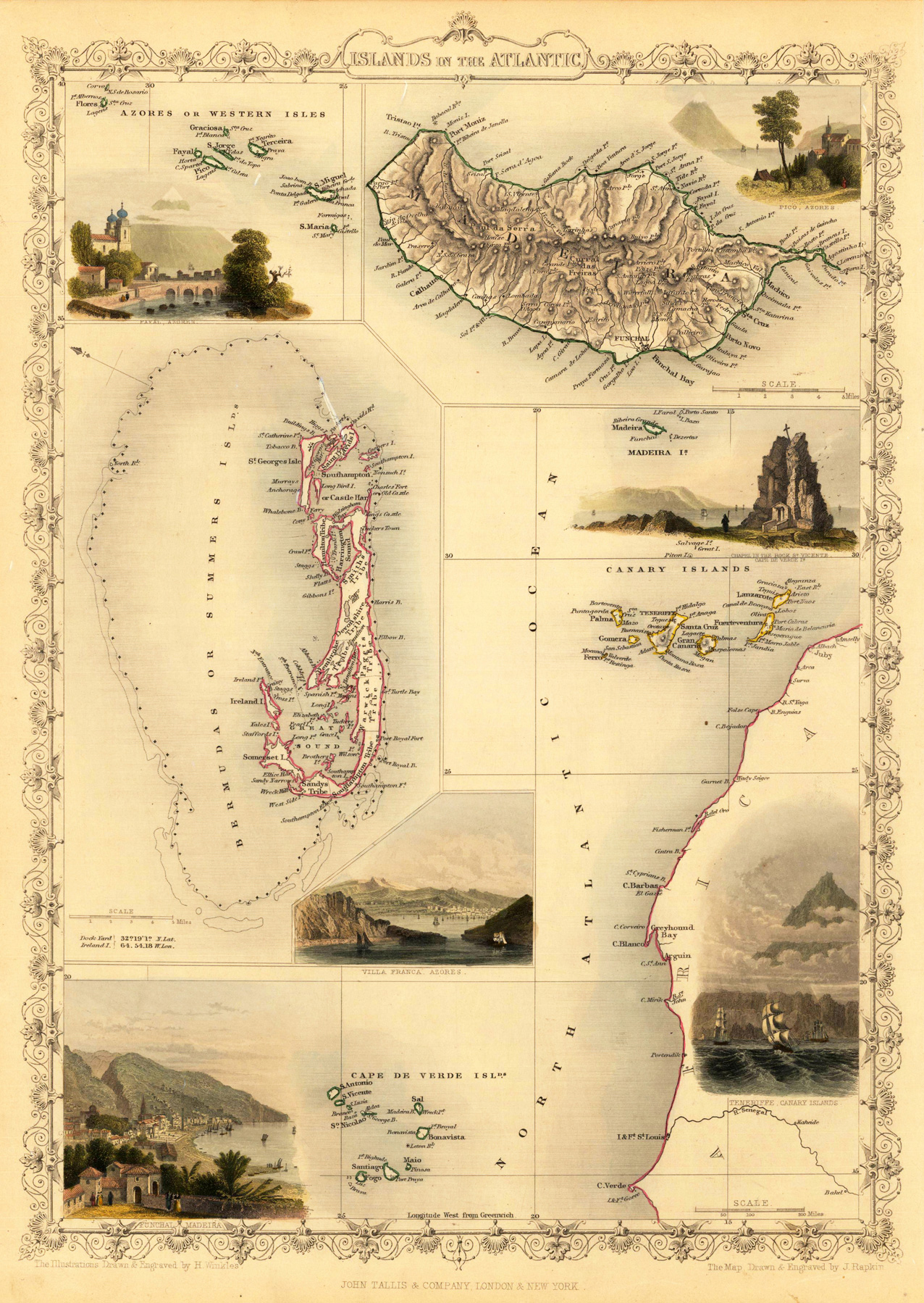
Steel engraving, hand colored in outline and wash. Fine engraved map is showing of the Islands of the Atlantic including the Azores, Madeira, Bermuda, the Canary Islands and the Cape Verde Islands. The map is decorated with six finely hand colored engraved vignettes: views of Fayal, Pico and Villa Franca in the Azores, the chapel in the Rock of Vicente on Cape Verde Islands, Funchal, Madeira and Tenerifa on the Canary Islands. The actual map was drawn and engraved by J. Rapkin. The illustrations were engraved by various artists: R. Radclyffe, W. Lacy, J. Rogers, J. H. Kernot, J. B. Allen, T. Fleming, H. Winkles, R. Baker after drawings by H. Warren, H. Winkles and H. Wray.