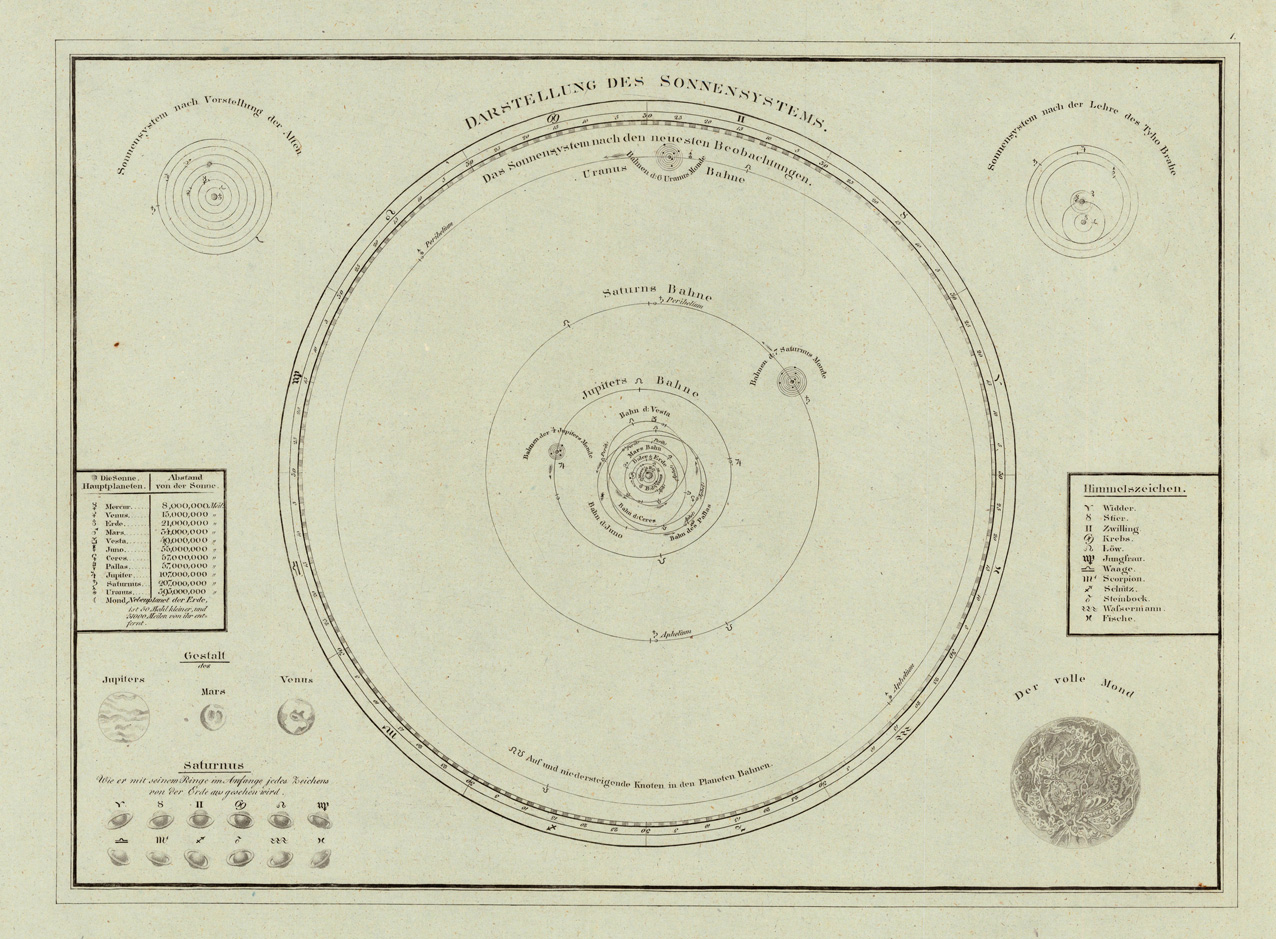
Original antique copper engraving, uncolored when published. Schematic map of the solar system engraved after the newest astronomical sources around 1827. Equipped with interesting tables of distances and astronomical details in the corners of the map. Tranquillo Maria Laurentio Mollo (August 10, 1767 - March 29, 1837) was Vienna based Swiss/Italian graphic designer, printer, art and music dealer, and publisher active in the late 18th and early 20th centuries. From about 1792 Mollo worked with the Vienna firm Artaria and Company. In 1798 he separated from Artaria to found, along with partner Franz Bernardini, his own music, art, and map publishing company, T. Mollo and Co. The partner collapsed after one year and Mollo took a new partner, Domenico Artaria, a scion of the Artaria family. In 1802 Mollo and Domenico acquired Artaria and Company from Carlo Artaria. Domenico and Mollo parted ways in 1804, after which Mollo published independently. Under his own imprint, he became one of Austria's most important globe and map publishers. He collaborated extensively with English and French publishers to bring French material to his work. Among his more significant collaborators was the Vienna publisher Joseph Dirwaldt. In 1832 Mollo passed the company to his sons, Eduard (1799-1842) and Florian Mollo (1803-1869). The Mollo brothers ran the business until 1839, three years after Tranquillo Mollo's death, before dividing the concern into separate business. Mollo married Dorothea Defelavis († 29. Juli 1822). (Wikipedia)
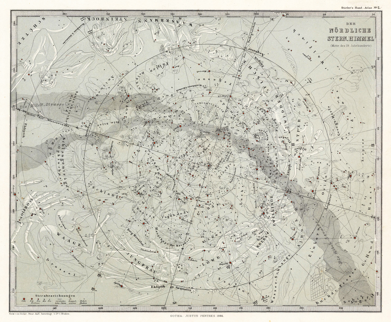
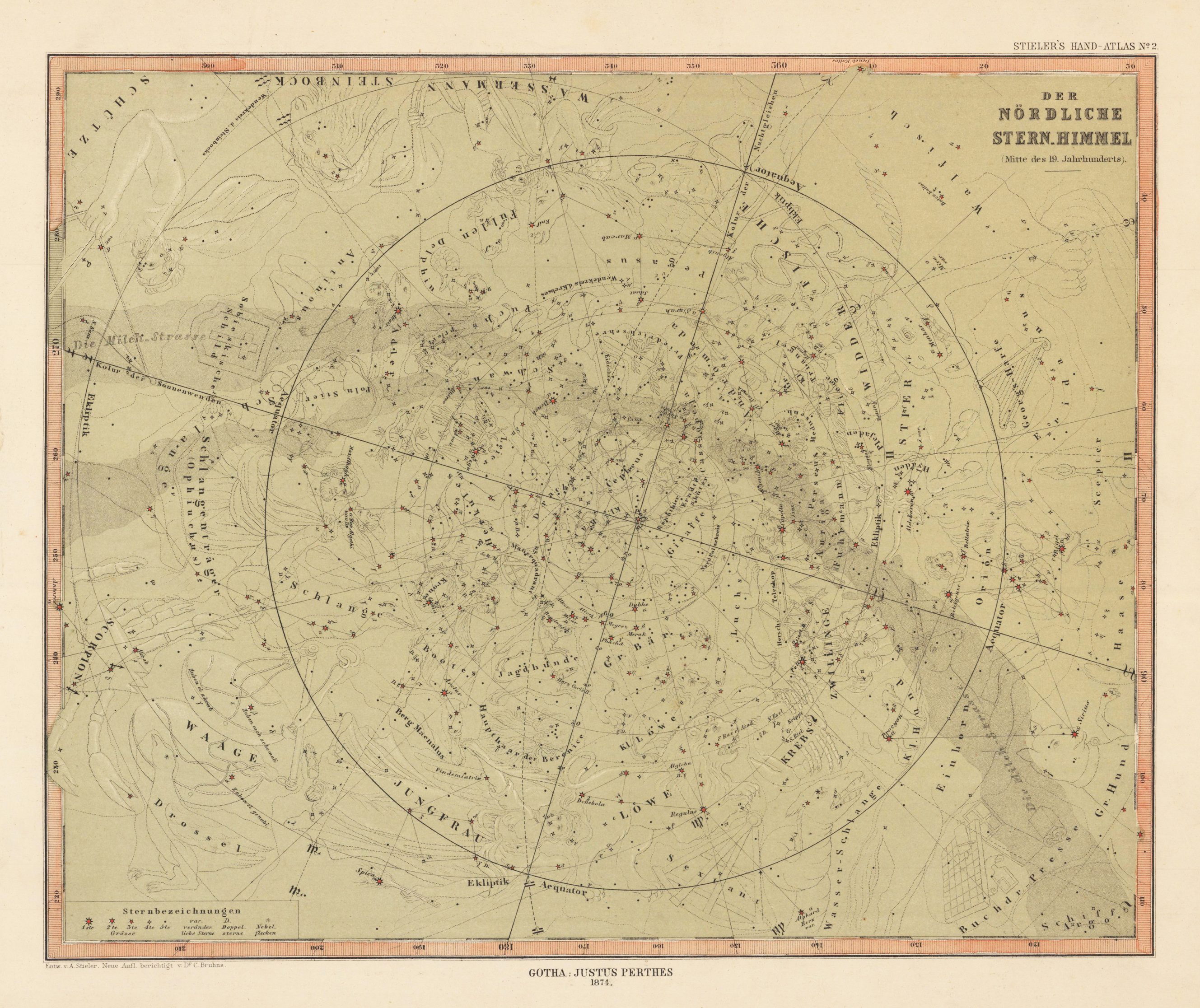
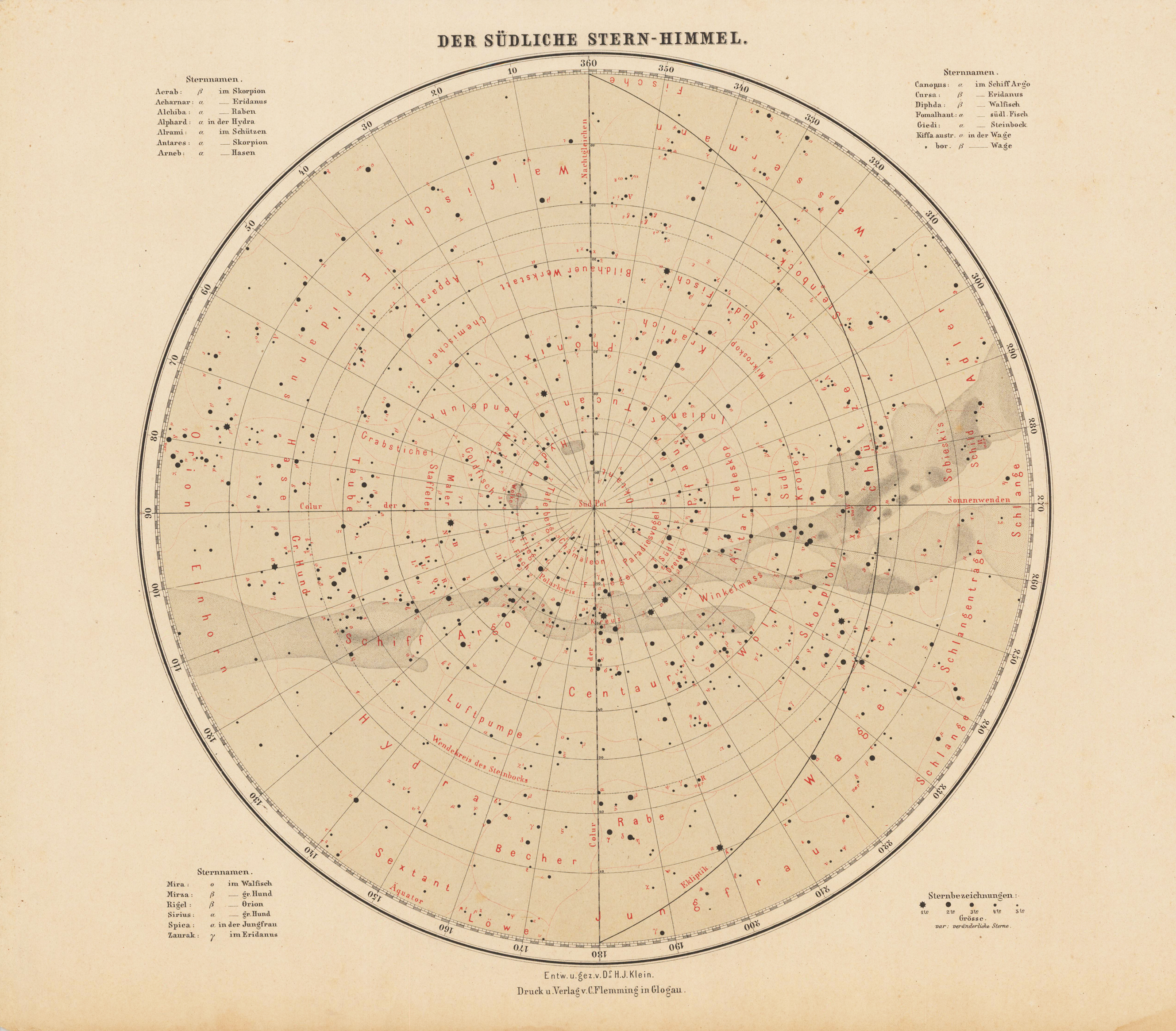
Original antique lithograph, published in A. Stieler's "Hand-Atlas". Handcolored and printed in colors. Die Darstellung zeigt den nördlichen Sternenhimmel mit der Milchstraße, die Sternenkonstellationen und Kometen.
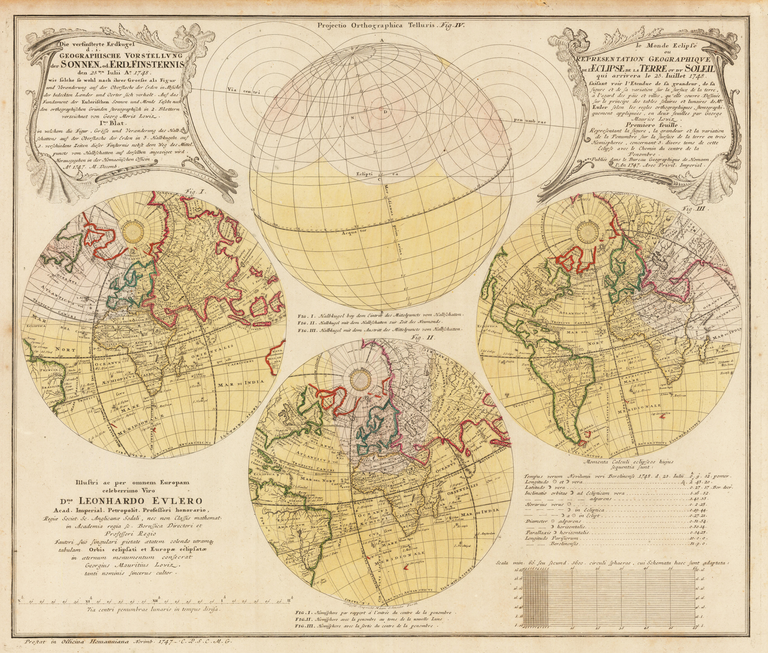
Original antiker Kupferstich, in zeitgenössischem Altkolorit. In vier Hemisphären wird die im Jahr 1748 erwartete Sonnenfinsternis dargestellt. Auf beiden Seiten oben je eine Titelkartusche, im linken unteren Eck ist eine Widmung an Leonhard Euler eingraviert, auf dessen Berechnungen diese Karte erstellt wurde.
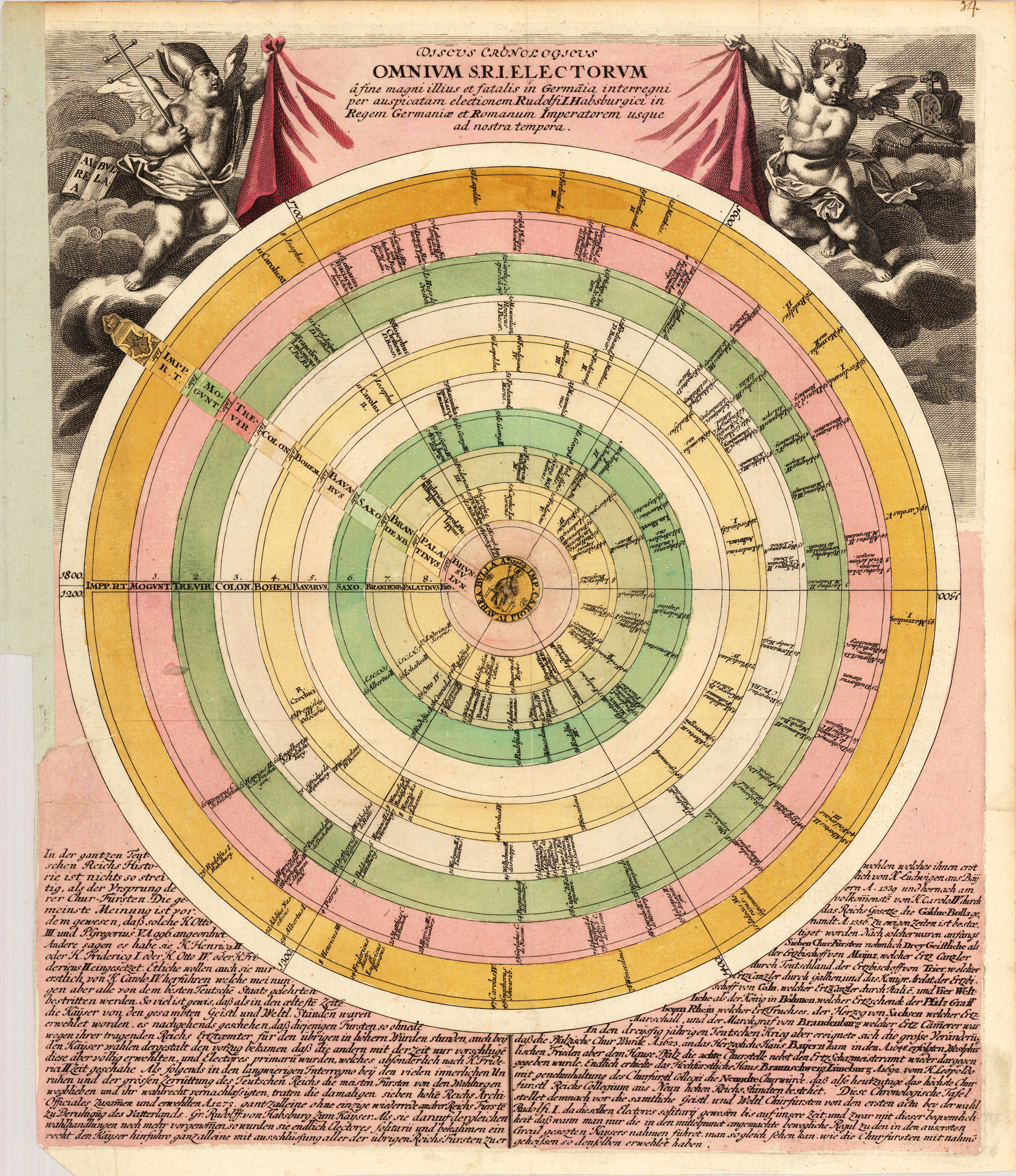
Copper engraving, hand colored when published. Chronological timetable, equipped with a moveable pointer in the center. The cartographer Christoph Weigel worked around 1719 in Nürnberg and his maps are showing the typical style of this period in mapmaking in Southern German. He worked very close as with Johann B. Homann in Nürnberg. All his maps were hand colored in outline and decorative body color immediately in his printing house, after they were printed.
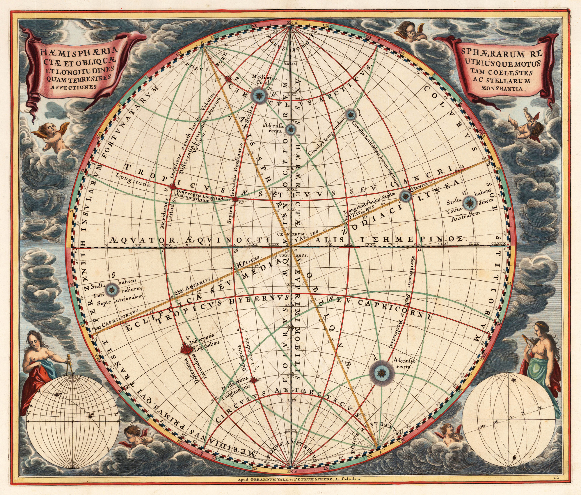
Original antique copper engraving, hand colored in outline and wash. Nice hand colored decorative celestial chart showcases the upright sphere and the oblique sphere, also the terrestrial and celestial longitudes. Engraved by Andreas Cellarius and published in Harmonia Macrocosmica by Valk & Schenk. Andreas Cellarius (c. 1596, Neuhausen, – 1665, Hoorn) was a Dutch-German cartographer, best known for his Harmonia Macrocosmica of 1660, a major star atlas, published by Johannes Janssonius in Amsterdam. Andreas Cellarius, illustration of the Copernican system, from the Harmonia Macrocosmica (1660). He was born in Neuhausen (now a part of Worms), and was educated in Heidelberg. The Protestant Cellarius may have left Heidelberg at the onset of the Thirty Years' War in 1618 or in 1622 when the city came in Catholic hands. His activities are unclear at this time but based on his later works it is conjectured he spent time in Poland and may have even worked as a military engineer there. In 1625 he married Catharina Elt(e)mans in Amsterdam, where he worked as school master of a Latin School. After a brief stay in The Hague, the family moved to Hoorn. From 1637 until his death he was rector of the Latin School in Hoorn, where Pieter Anthoniszoon Overtwater was conrector. He published on fortification and on Poland. The minor planet 12618 Cellarius is named in his honour. (Wikipedia)
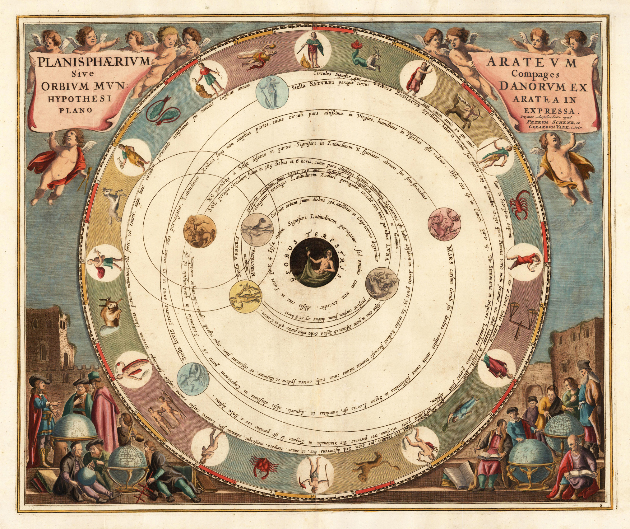
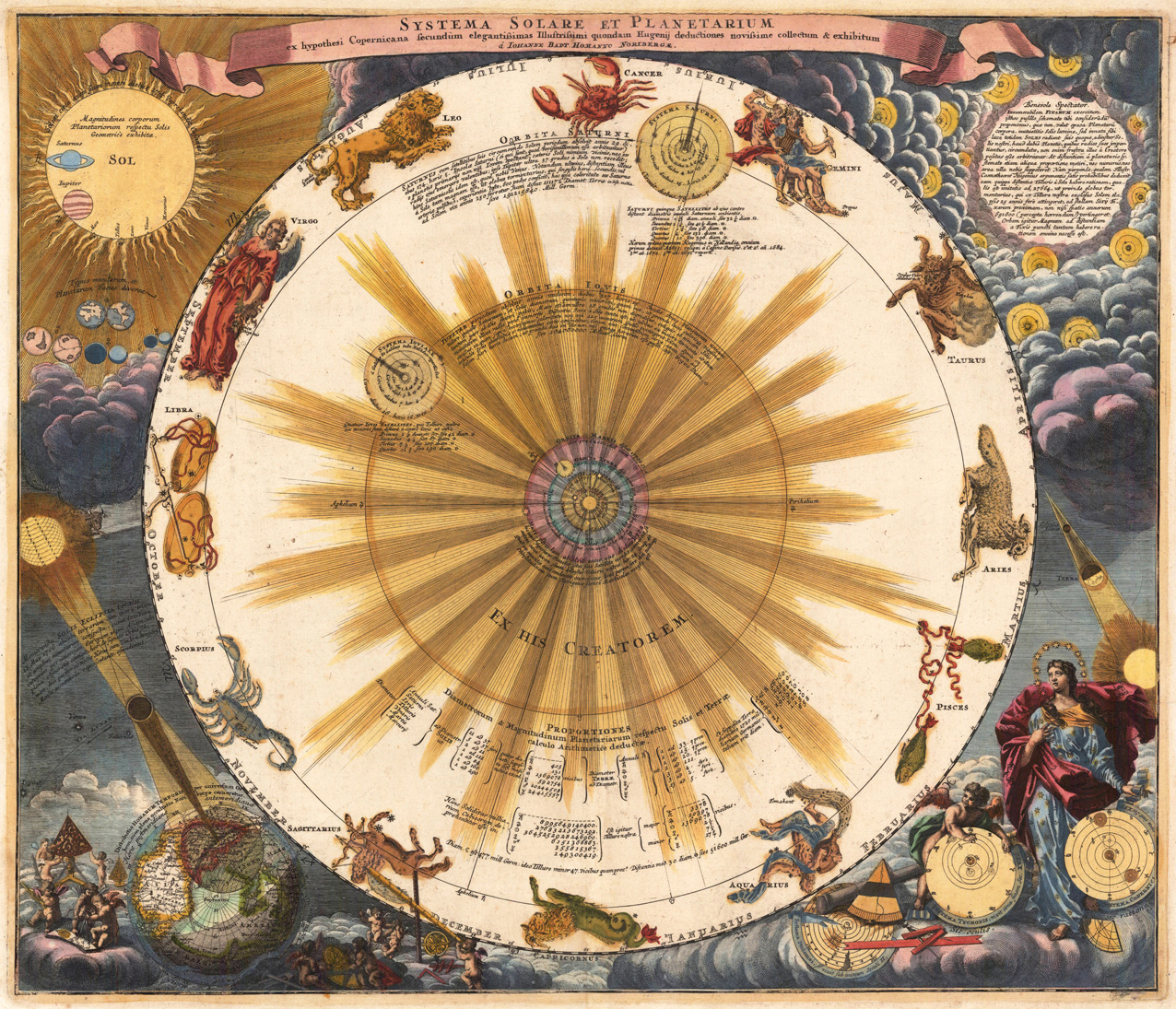
Original antique copper engraving, hand colored in outline and wash. Circular celestial chart of the classical solar system, published in the Harmonia Macrocosmica seu Atlas Universalis et Novus. The title is engraved over two banderoles in upper corners. Artronomers and students studying celestial and terrestrial globes in the lower corners. Andreas Cellarius (c. 1596, Neuhausen, – 1665, Hoorn) was a Dutch-German cartographer, best known for his Harmonia Macrocosmica of 1660, a major star atlas, published by Johannes Janssonius in Amsterdam. Andreas Cellarius, illustration of the Copernican system, from the Harmonia Macrocosmica (1660). He was born in Neuhausen (now a part of Worms), and was educated in Heidelberg. The Protestant Cellarius may have left Heidelberg at the onset of the Thirty Years' War in 1618 or in 1622 when the city came in Catholic hands. His activities are unclear at this time but based on his later works it is conjectured he spent time in Poland and may have even worked as a military engineer there. In 1625 he married Catharina Elt(e)mans in Amsterdam, where he worked as school master of a Latin School. After a brief stay in The Hague, the family moved to Hoorn. From 1637 until his death he was rector of the Latin School in Hoorn, where Pieter Anthoniszoon Overtwater was conrector. He published on fortification and on Poland. The minor planet 12618 Cellarius is named in his honour. (Wikipedia)
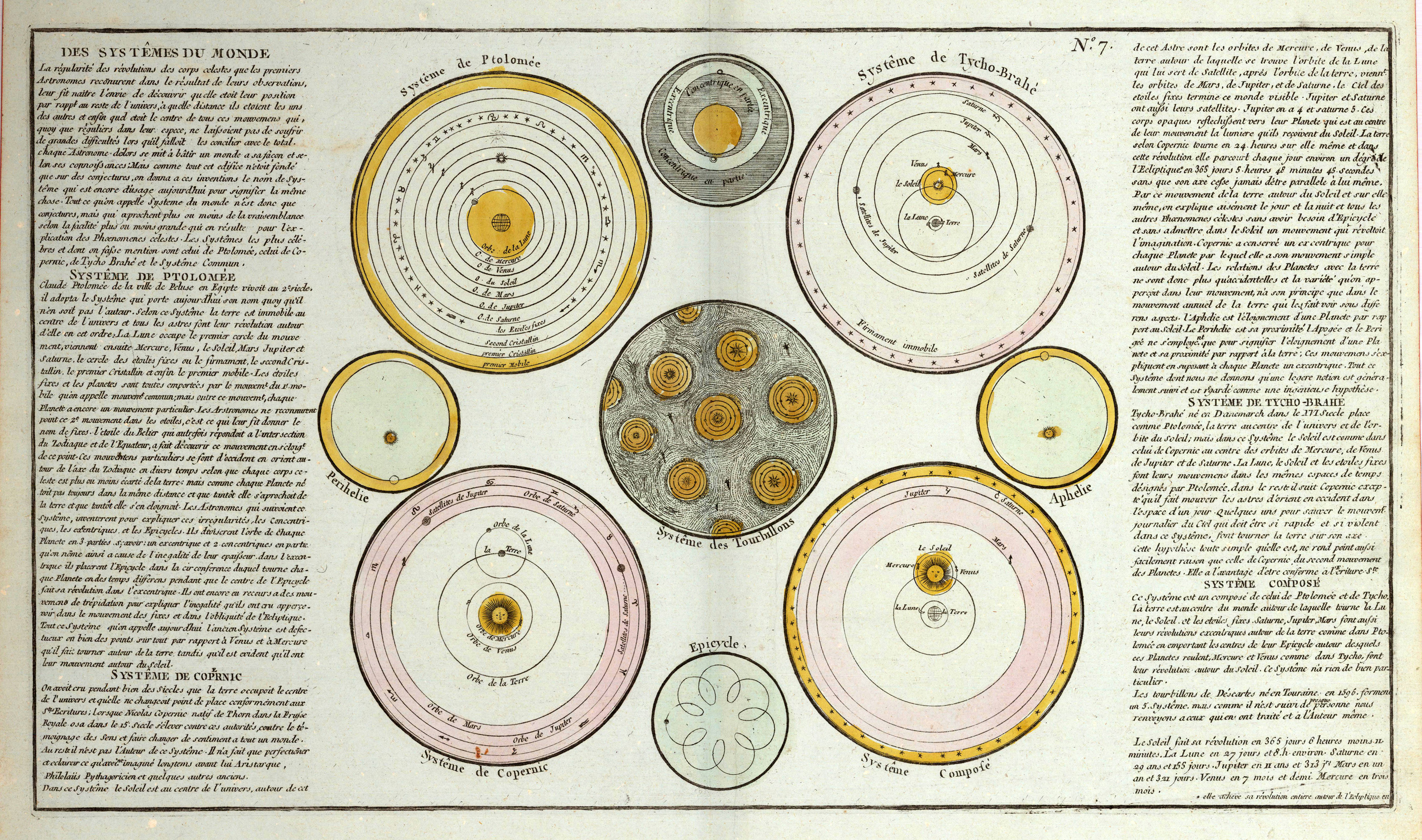
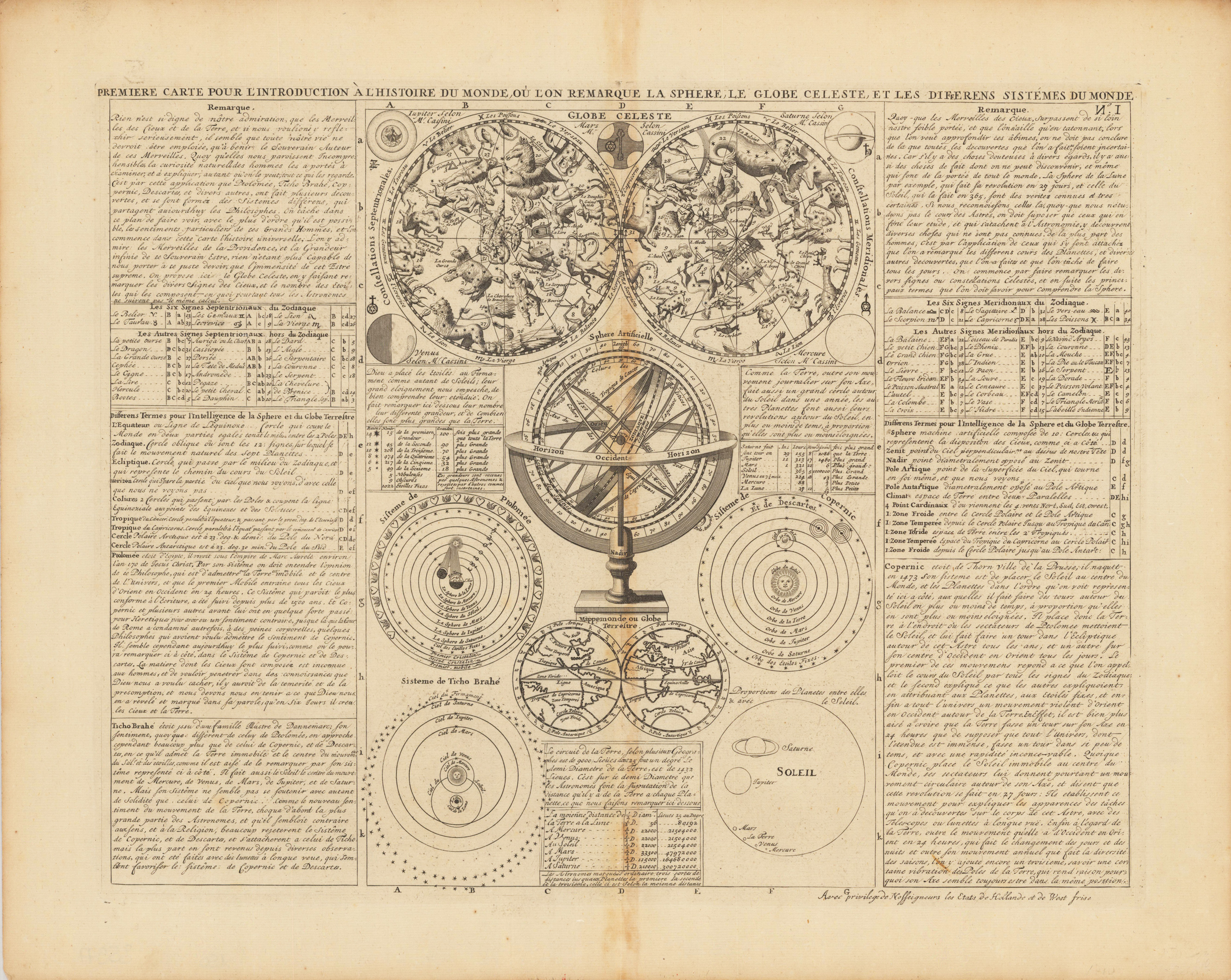
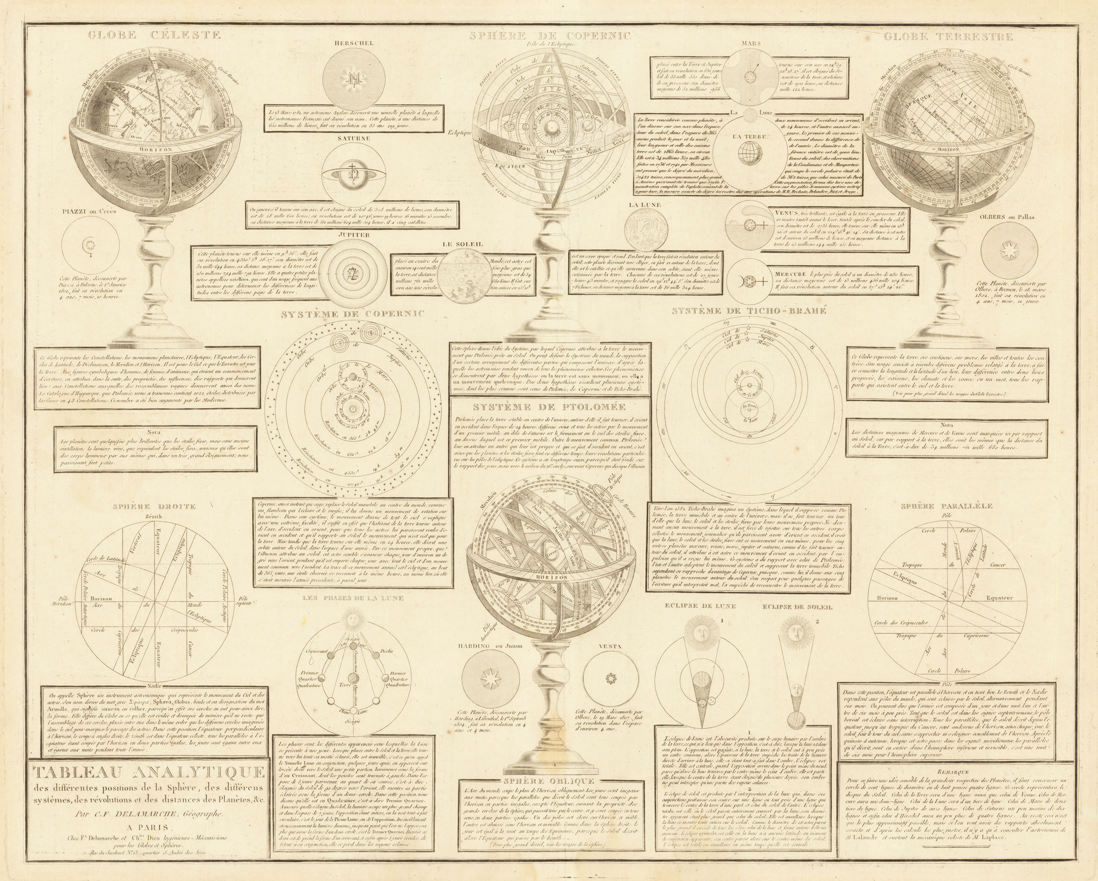
Original antique copper engraving, uncolored as published. It includes a celestial globe, an armillary sphere, a double hemisphere world map and three systems according to Ptolemy, Copernicus and Tycho Brahe. This elegant map is a perfect example of the golden age of French cartography. It is taken from the renowned Atlas Historique of Henri Chatelain.
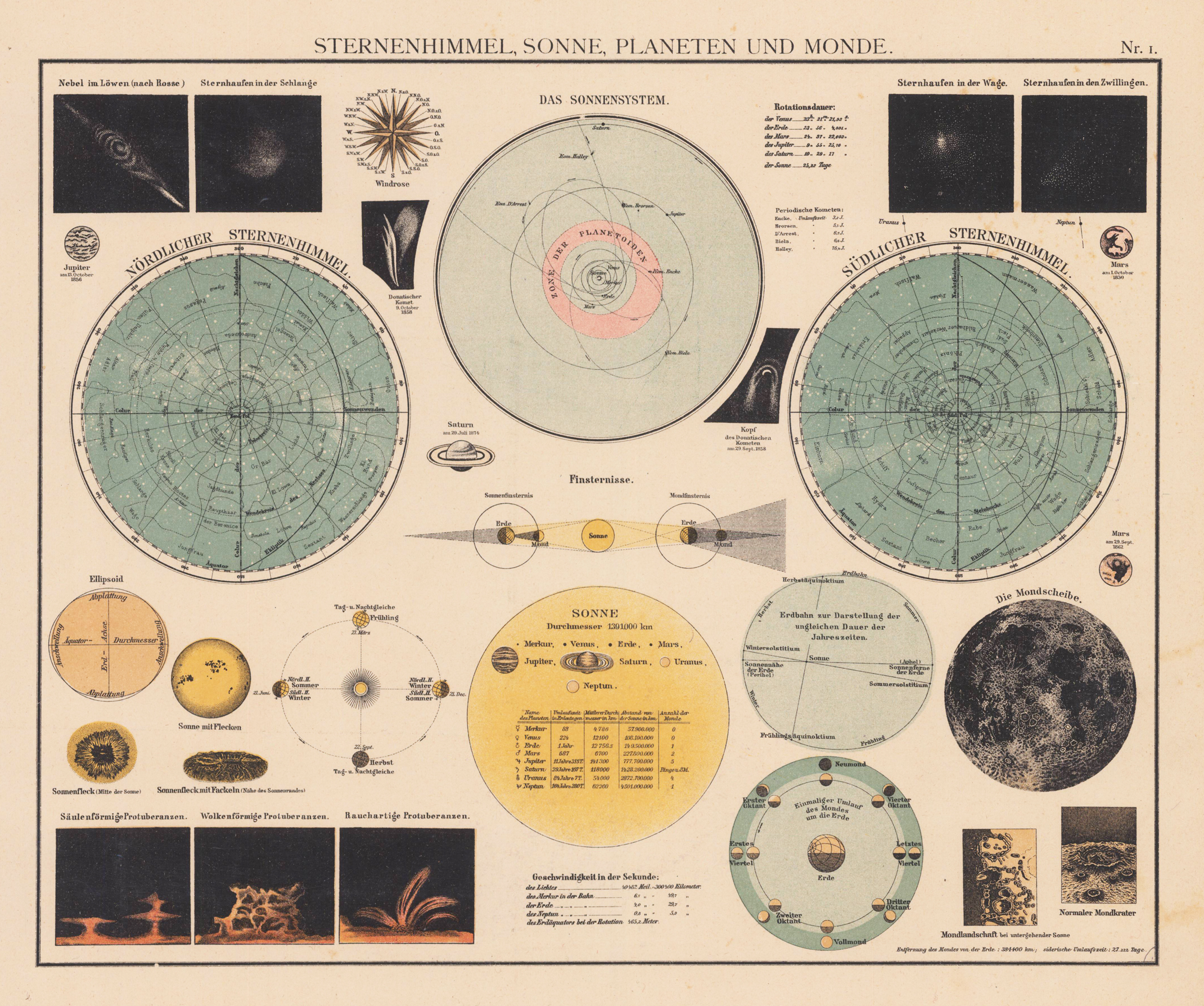
Original Lithographie, koloriert. This map, produced by Alfred W. Berg, was issued as part of his Atlas Universal in 1905. The original maps are wonderfully engraved. This beautiful planetary/celestial poster breaks down the solar system showing the Moon, Sun, Solar System and Planetary alignments. There are also individual planets illustrated throughout with the date of observation underneath them.
Copper engraving, hand colored in outline and wash.
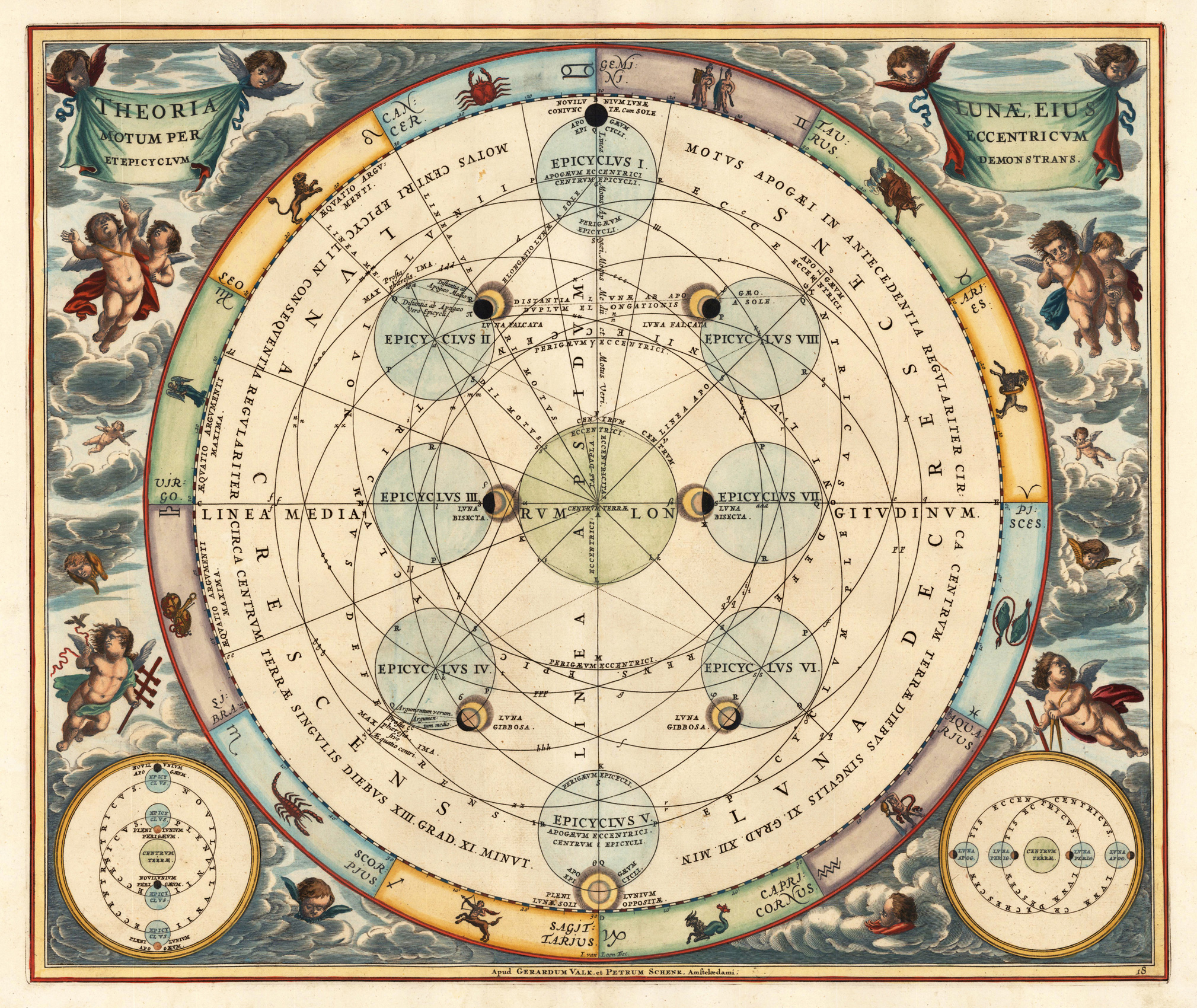
This celestial chart illustrating the Claudius Ptolemy model of lunar motion. The chart illustrates the lunar epicycles as the moon revolves along various orbits. The central chart is bordered zodiacal iconography. Cellarius first issued this chart in 1660 in conjunction with map and atlas publisher Johannes Janssonius. The present example from the Valk and Schenk edition of the Atlas Coelestis in 1708, engraved by Joannes van Loon.