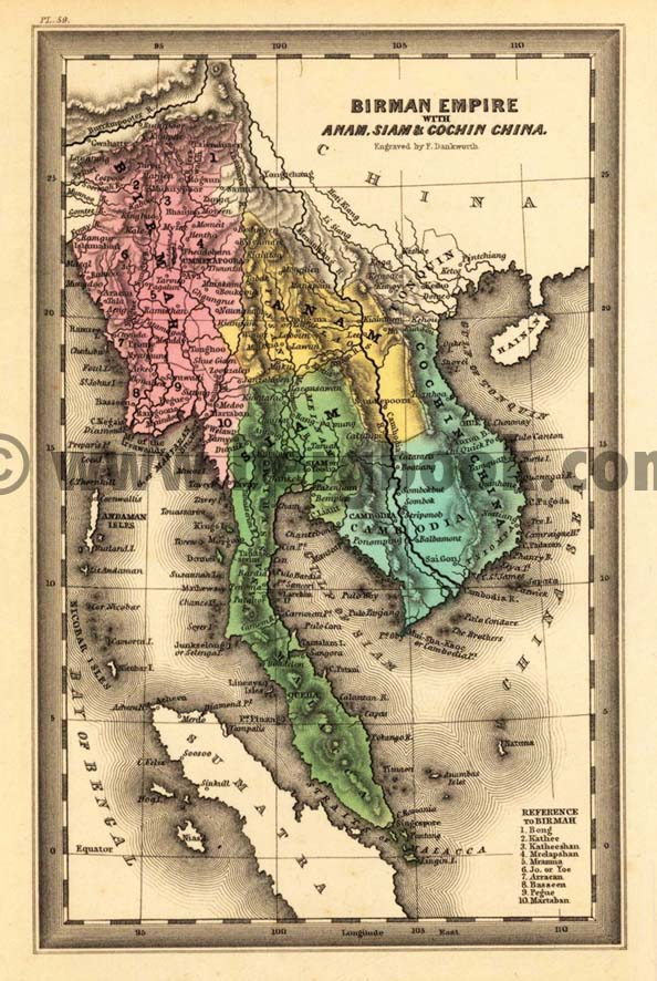
Steel engraving, hand colored in outline and wash when published. Engraved by Dankworth, F. This fine small engraved old map shows the Birman Empire with Anam, Siam & Cochin China. This rare antique original map was published by Carey & Lea in Philadelphia in a small pocket atlas. Detailled engraved with place names, rivers and mountain chains.
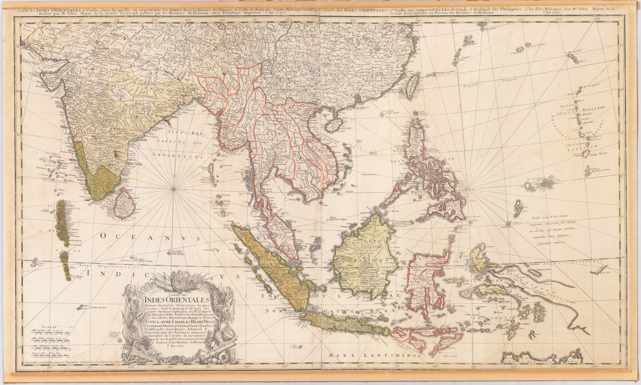
Original engraved map, printed from two plates and handcolored in wash and outline when published. A highly detailed and large map of South East Asia. Published by Homann´s Heirs and engraved after a drawing by Tobias Meyer in 1748. The left half of the map shows India with Delhi all the way to Burma, Vietnam, Laos, Malaysia, Sumatra and Singapore as well as the Maldives with the Indian Ocean. The right half of the map depicts the Philippines, Java, Borneo, Papua New Guinea and Eastern China. The title cartouche can be found on the left bottom including a dedication to the former Prince of Orange - Nassau, Wilhelm IV. Many engraved place names, mountains, rivers, lakes, political border are engraved on the map. The map was printed from two plates, these two sheets were joined together and then pasted down on cardboard. The upper margin cut close to the printed title at the top of the map, the bottom cut close to the engraved printed border line.
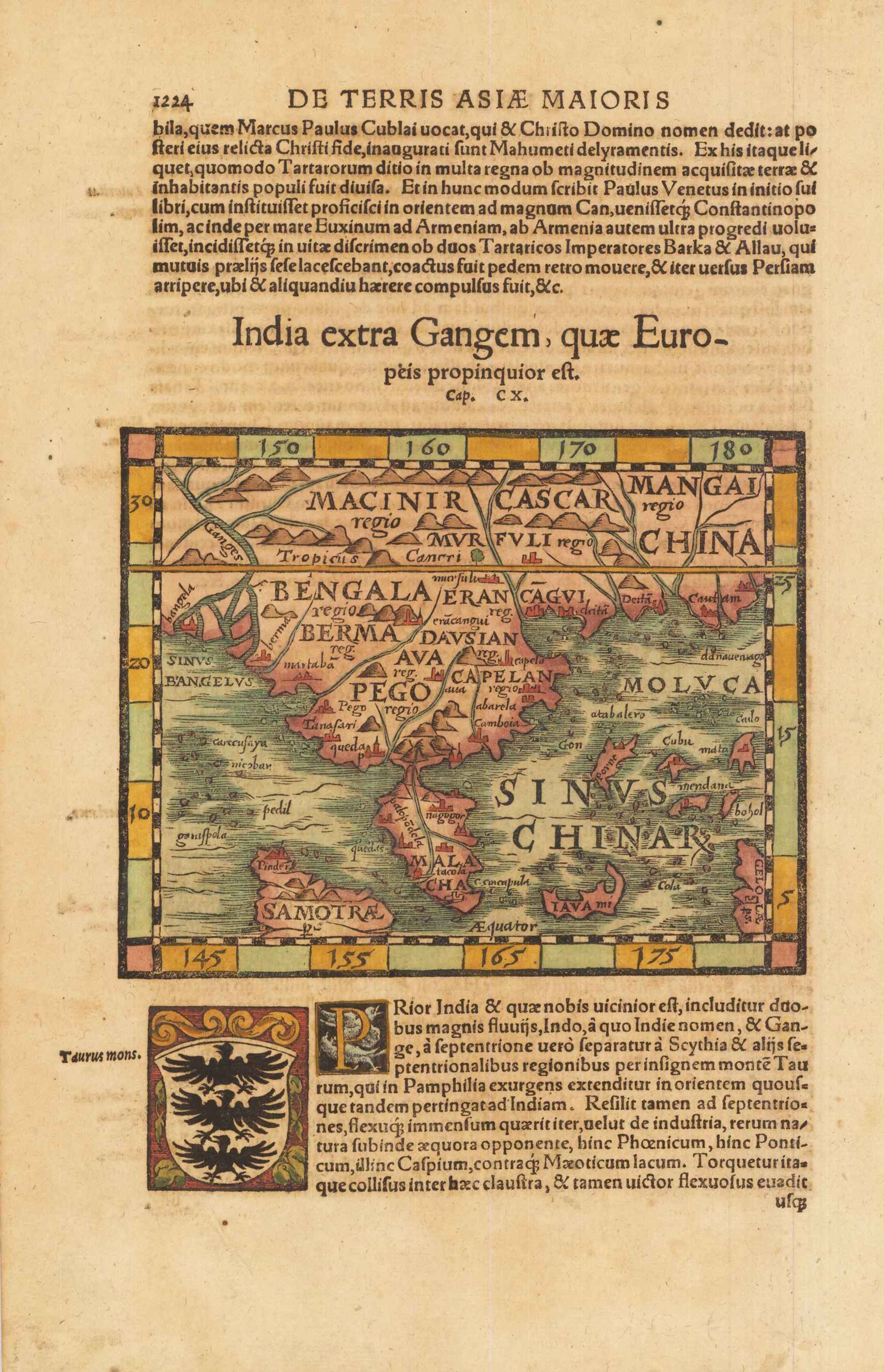
Original antique rare woodcut map, later hand colored, published in Johann Honter's "Rudimenta Cosmographica" in Basel. Early old woodcut map of Burma, Thailand, Sumatra & Malaysia with the neighboring China, the Chinese Sea and the Moluccas Islands. A fine and interesting old map of Southeast Asia. With engraved schematic town views, mountain and rivers on the map. Johann Honter (born in Brasov 1498 - 1549) was a German map cartographer, cosmographer and a Christian Hebraist scholar. He published in 1544 one of the earliest German descriptions of the world the Cosmographia in 1544. Born in Braşov (Kronstadt, Brassó), Transylvania, Kingdom of Hungary, nowadays Romania, he studied at the University of Vienna between 1520 and 1525, graduating with a magister artium title. As the Ottomans approached Vienna in 1529 (see Siege of Vienna), Honter moved first to Regensburg, and, in 1530, he registered at the Kraków's Jagiellonian University (in Poland) as "Johannes Georgii de Corona, artium magister Viennensis" (Corona is medieval Latin for Braşov). (Wikipedia)
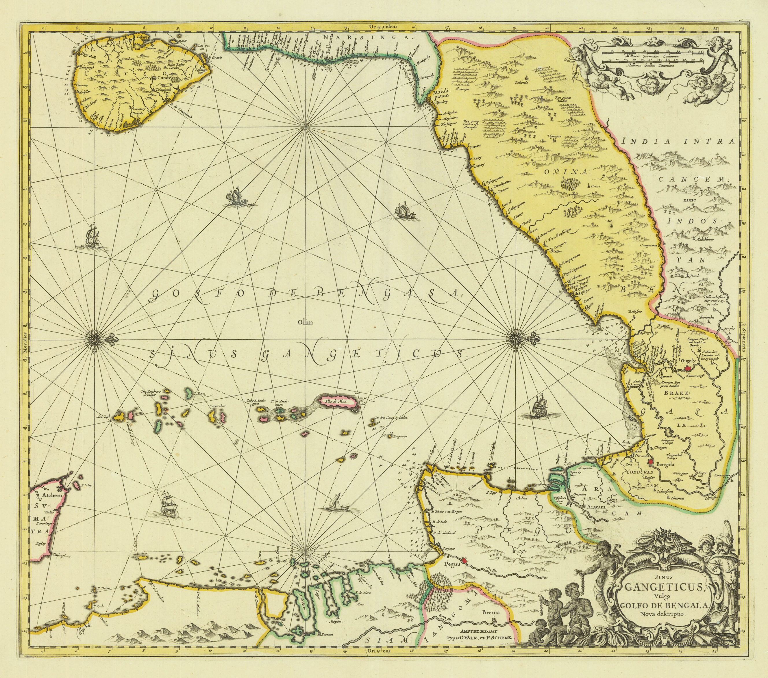
Copper engraving, hand colored in outline when published. A highly decorative map of the gulf of Bengal with the eastern coast of India, parts of the neighboring Thailand (Siam) and Birma. Many engraved place names, rivers, mountains, etc. Ornated with a compass rose and ships in the gulf of Bengal. Joan Jansson's sea-atlas can be regarded as the first Dutch sea atlas in this period, which covered the entire world.
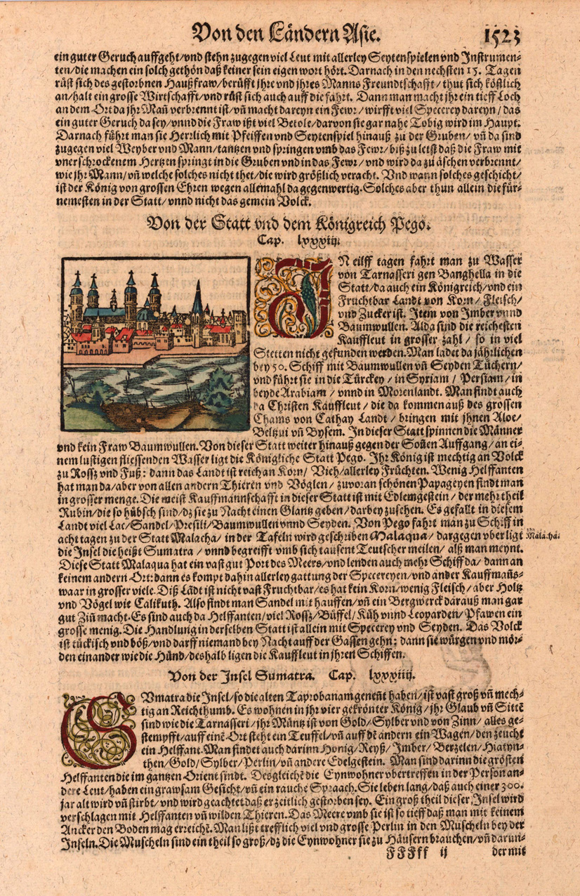
Woodcut, hand colored in wash. Decorative hand colored woodcut map with a view of the town of Pego, published in a German text edition of the 'Cosmographia' by Sebastian Münster.