
Your results
5
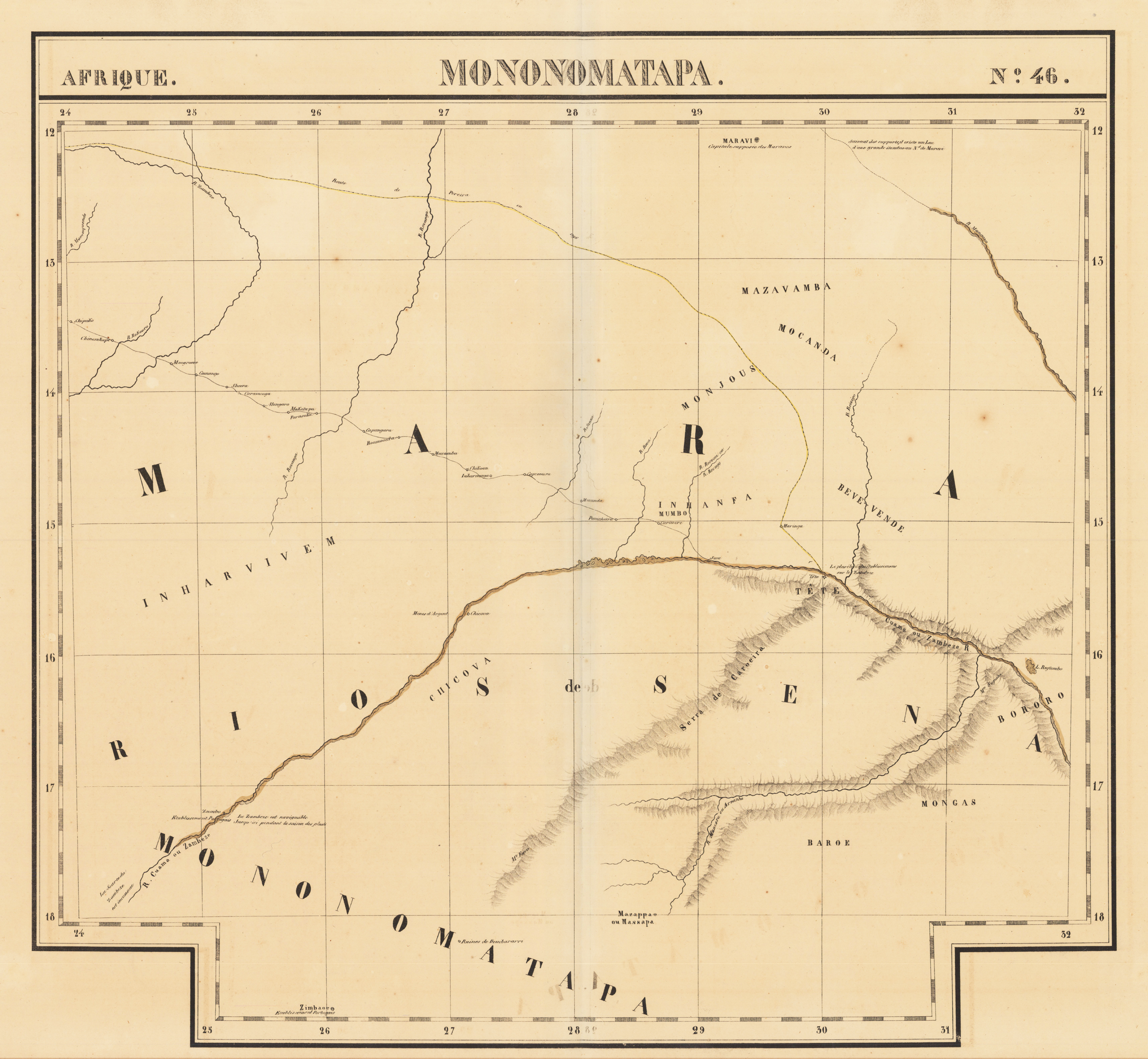
Afrique - Mononomatapa - No. 46
€295.00*
Original lithograph, printed and published ca. 1825 in Vandermaelen's atlas of Africa. This large antique map shows the northern part of Simbabwe, in the centre of the map we find the Sambesi river, and north of the Sambesi river parts of Sambia. This early lithographed map depicts rivers, mountains and trails or roads. A few place names on the map and also mountain chains and rivers are named. Further map has latitudes and longitudes with which the map can exactly compared with modern maps of this still quite remote region. This regions covers these days the Chizarira-Nationalparc and Matusadona-Nationalparc next to lake Kariba. Philippe Vandermaelen (1795-1869) began drafting the first maps of the Atlas universel in 1824. The atlas was published between 1825 and 1827. The atlas covered all five continents and became a great success. The success of this project enabled him to set up his own Geographic company in Bruxelles in 1830. He produced maps, atlases and globes, further he housed a natural science museum, botanical gardens, a library and a large collection of maps.
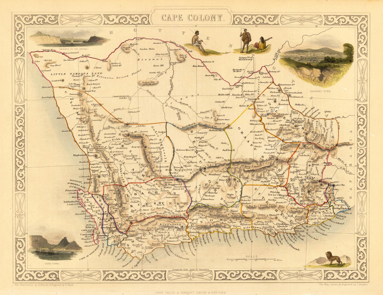
Cape Colony.
€145.00*
Steel engraving, hand colored in outline and wash. Fine engraved map is showing the Cape Colony. This antique map is decorated with five finely hand colored engraved vignettes: the view of Cape Town, Graham's Town and the entrance to the Knysna, native people and a lion. The actual map was drawn and engraved by J. Rapkin. The illustrations were engraved by various artists: R. Radclyffe, W. Lacy, J. Rogers, J. H. Kernot, J. B. Allen, T. Fleming, H. Winkles, R. Baker after drawings by H. Warren, H. Winkles and H. Wray.
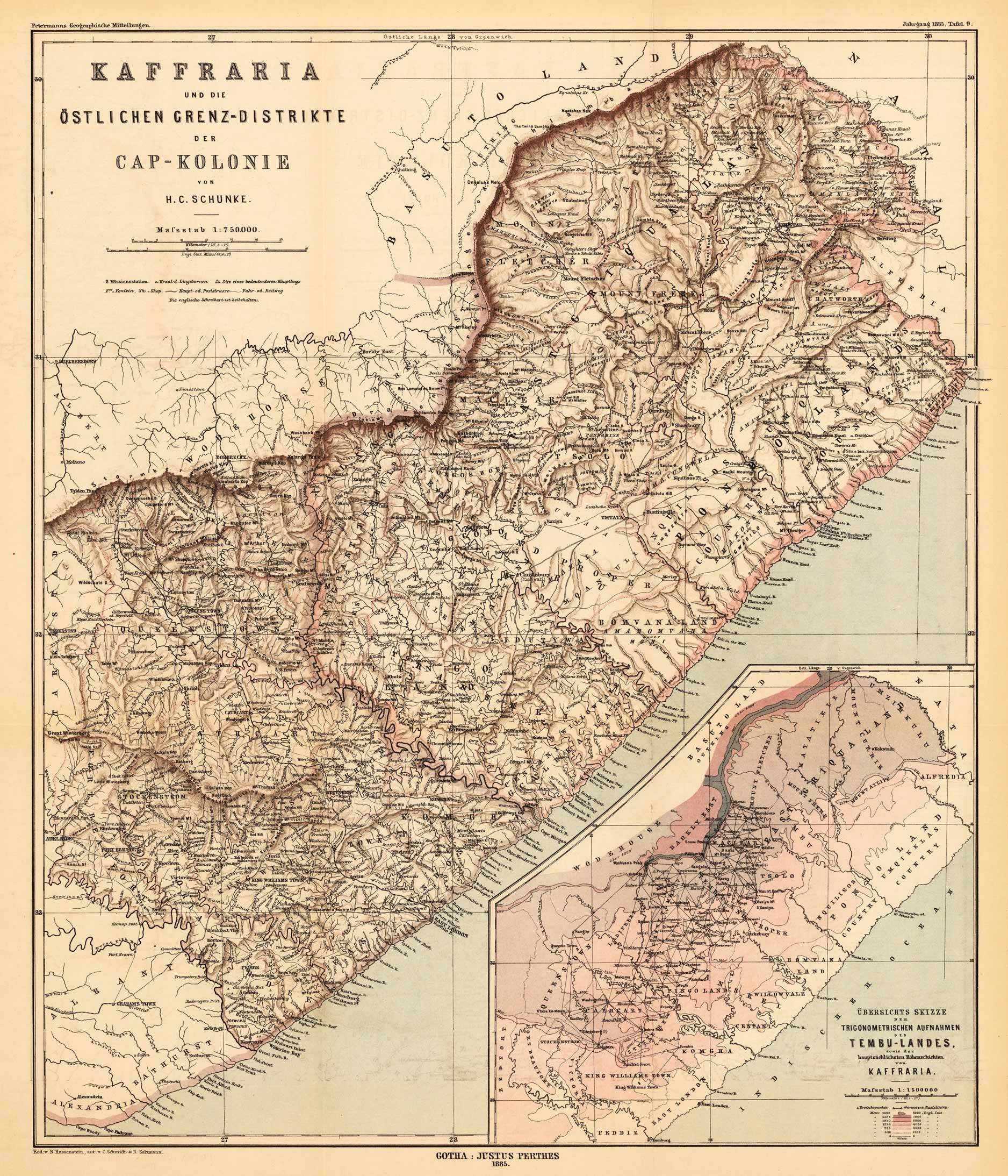
Kaffraria und die östlichen Grenz-Distrikte der Cap-Kolonie von H. C. Schunke.
€110.00*
Lithograph, original colorer in outline and wash.
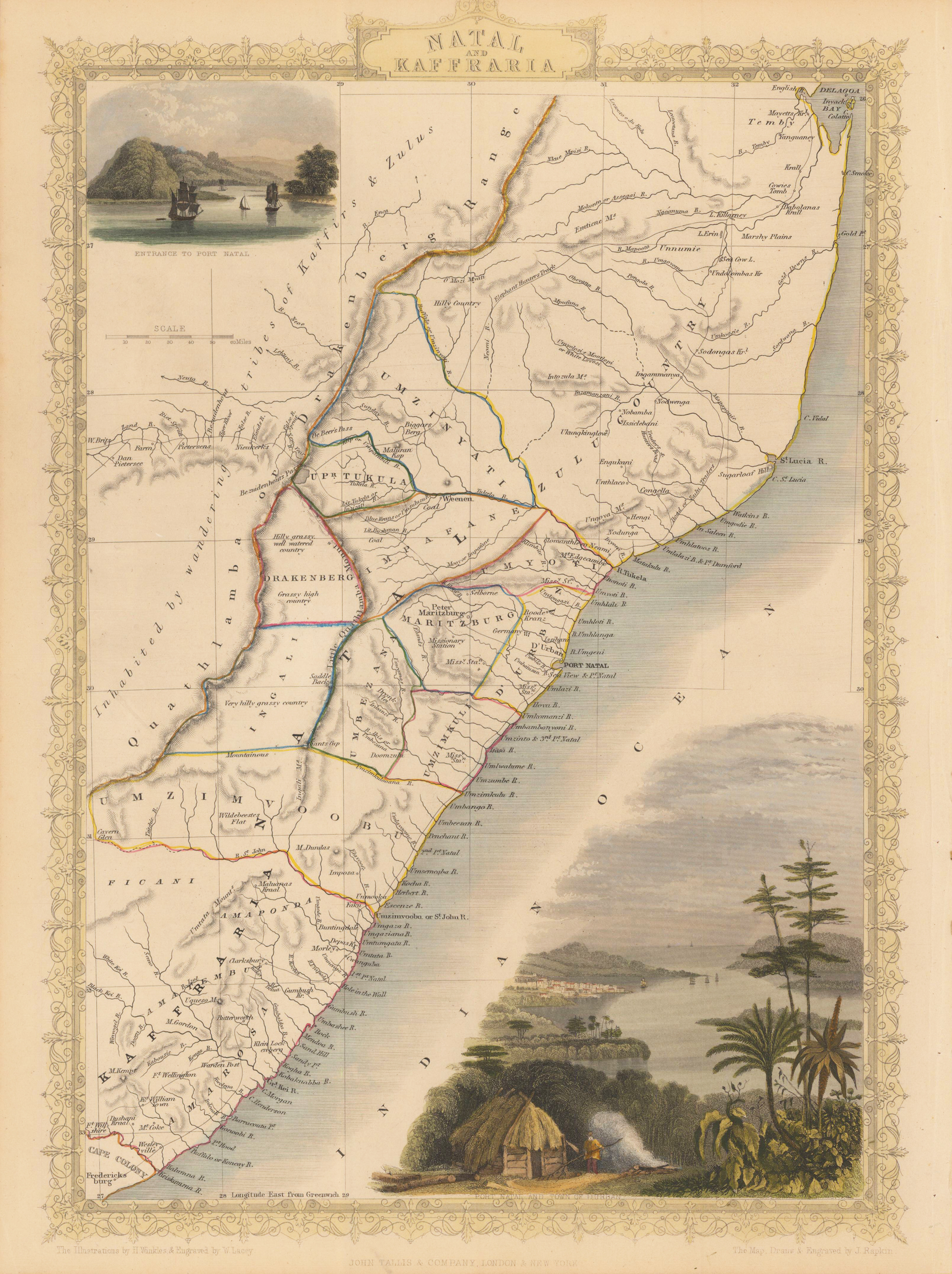
Natal and Kaffraria
€195.00*
Original steel engraving, original color. Steel engraving, hand colored in outline and wash. Decorative antique map of Natal and Kaffraria in Africa with two beautiful vignettes of the entrance to Port Natal and th town of Durban. Detailed map with many place names, rivers, mountains, etc. John Tallis (7 November 1817 – 3 June 1876) was an English cartographic publisher. His company, John Tallis & Company, published views, maps and atlases in London from roughly 1838 to 1851. Tallis set up as a publisher with Frederick Tallis in Cripplegate in 1842; the business moved to Smithfield in 1846, and was dissolved in 1849. From 1851 to 1854 Tallis operated as John Tallis & Company. He started the Illustrated News of the World which issued engraved portraits as supplements in a series entitled 'National Portrait Gallery of eminent personages' in 1858, selling it for £1,370 in 1861; it folded in 1863. The series was subsequently republished in a number of separate volumes. He lived in New Cross, South East London. His house on New Cross Road is listed as a Building of Special Architectural or Historic Interest, grade II. It has a blue plaque on the wall to signal the event. (Wikipedia)