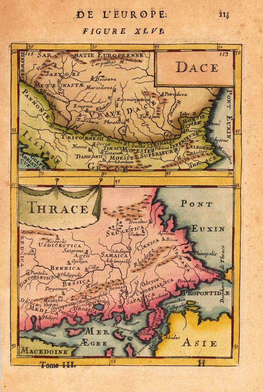
Copper engraving, hand colored in wash and outline, published in Allain Manesson Mallet's description of the world. Two decorative maps of Dacia and Tracia on one sheet. With many place names, mountains and rivers. A small and decorative map of Southeast Europe.
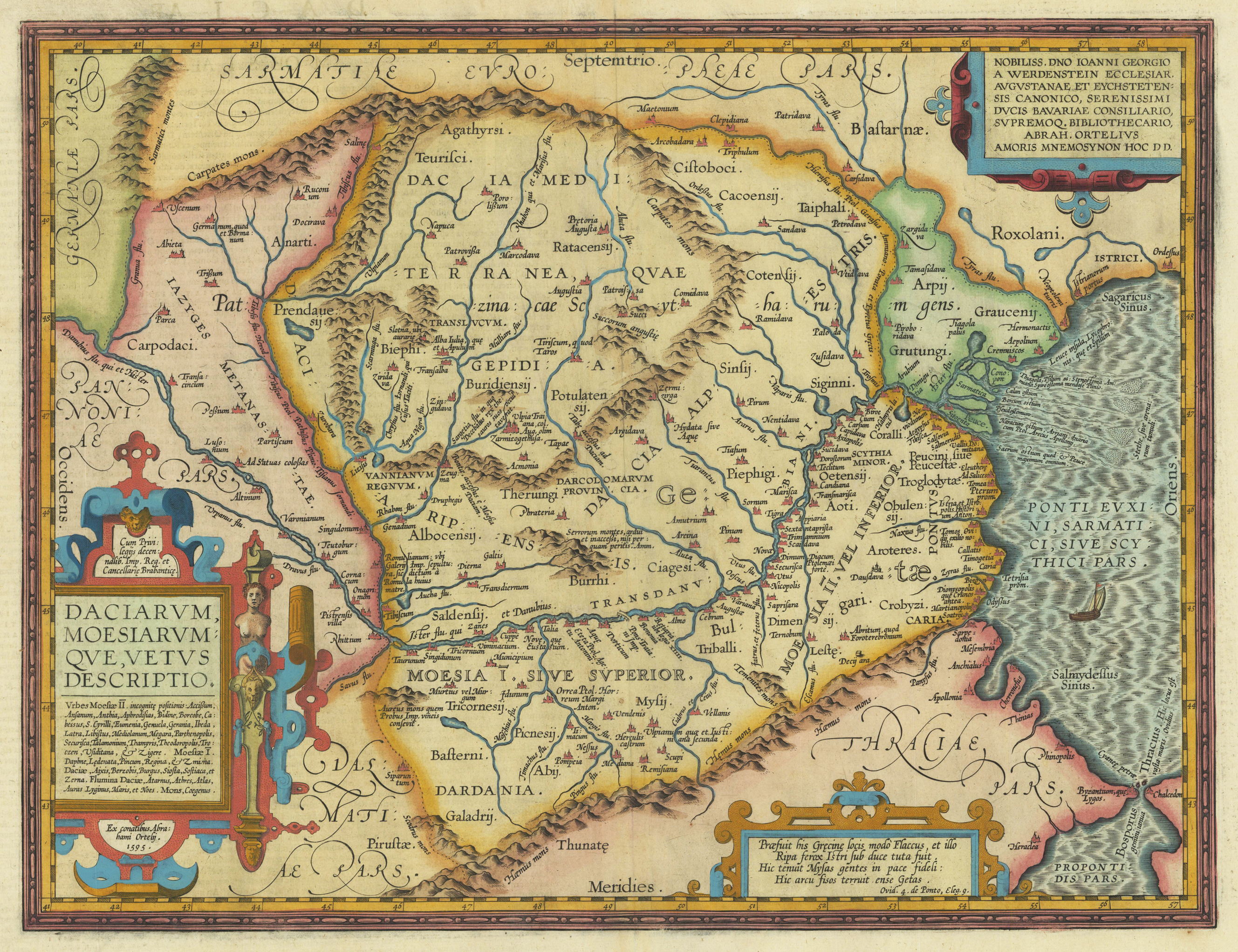
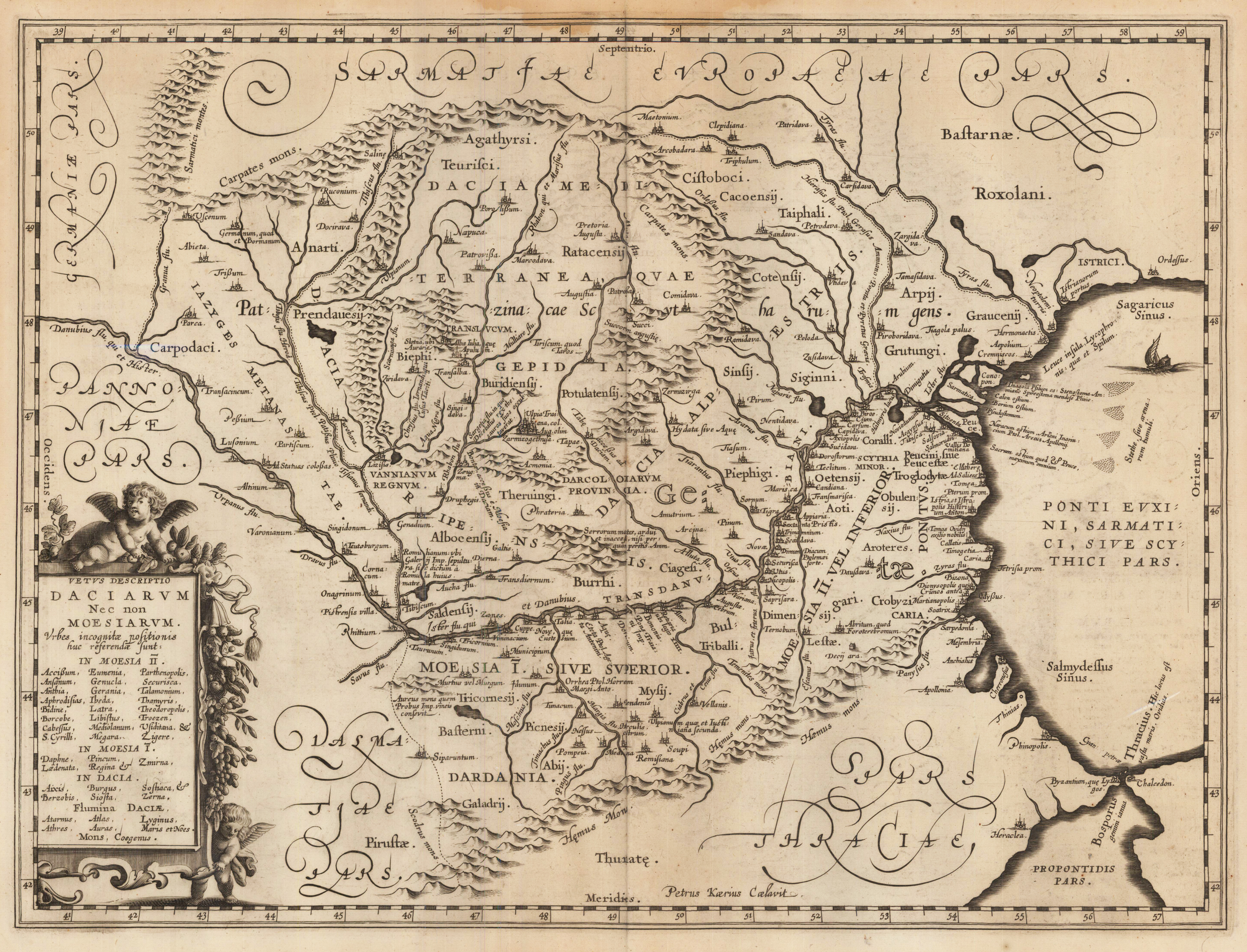
Original antique copper engraving, published 1612 in the famous historical Atlas "Parergon" (Latin text-edition) by Abraham Ortelius. Finely later hand-colored in wash and outline. Historical map of Dacia covering mainly the area of the Walachei, Bulgaria and Rumania. The map shows many historical city names, towns and small villages, mountains and the river system is well displayed. This map is ornated with a title cartouche on the lower left side, two further text cartouches in the upper right corner and on lower right side. Villages and towns are shown as miniature views. Ortelius was born on 14 April 1527 in the city of Antwerp, which was then in the Habsburg Netherlands (modern-day Belgium). The Orthellius family were originally from Augsburg, a Free imperial city of the Holy Roman Empire. In 1535, the family had fallen under suspicion of Protestantism. Following the death of Ortelius's father, his uncle Jacobus van Meteren returned from religious exile in England to take care of Ortelius. Abraham remained close to his cousin Emanuel van Meteren, who would later move to London. In 1575 he was appointed geographer to the king of Spain, Philip II, on the recommendation of Arias Montanus, who vouched for his orthodoxy. He travelled extensively in Europe and is specifically known to have traveled throughout the Seventeen Provinces; in southern, western, northern, and eastern Germany (e.g., 1560, 1575–1576); France (1559–1560); England and Ireland (1576); and Italy (1578, and perhaps twice or thrice between 1550 and 1558). Beginning as a map-engraver, in 1547 he entered the Antwerp Guild of Saint Luke as an illuminator of maps. He supplemented his income trading in books, prints, and maps, and his journeys included yearly visits to the Frankfurt book and print fair, where he met Gerardus Mercator in 1554. In 1560, however, when travelling with Mercator to Trier, Lorraine, and Poitiers, he seems to have been attracted, largely by Mercator's influence, towards the career of a scientific geographer. (Wikipedia)
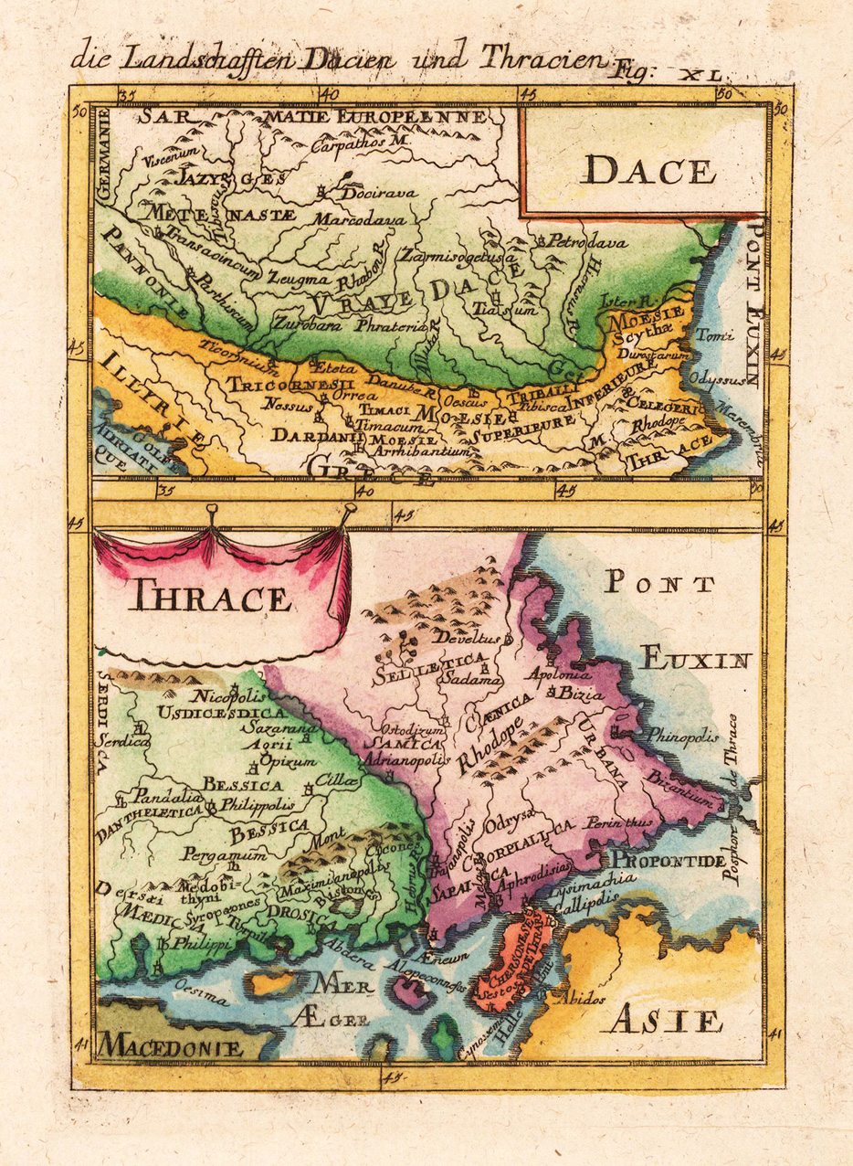
Copper engraving, hand colored in wash and outline, published in Allain Manesson Mallet's description of the world. Two decorative maps of Dacia and Tracia on one sheet. With many place names, mountains and rivers. A small and decorative map of Southeast Europe.
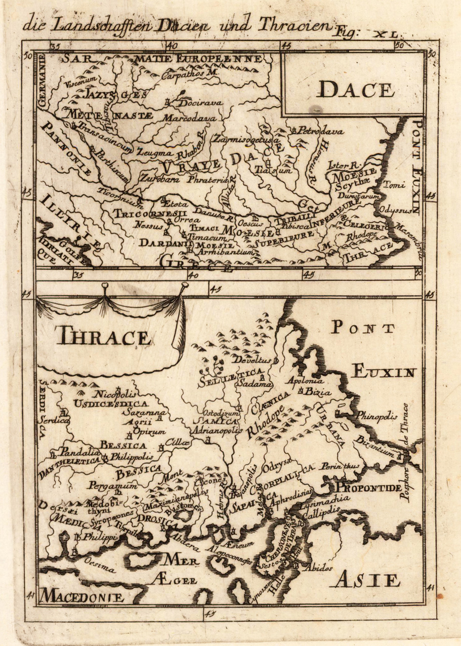
Copper engraving, uncolored, published in Allain Manesson Mallet's description of the world. Two decorative maps of Dacia and Tracia on one sheet. With many place names, mountains and rivers. A small and decorative map of Southeast Europe.
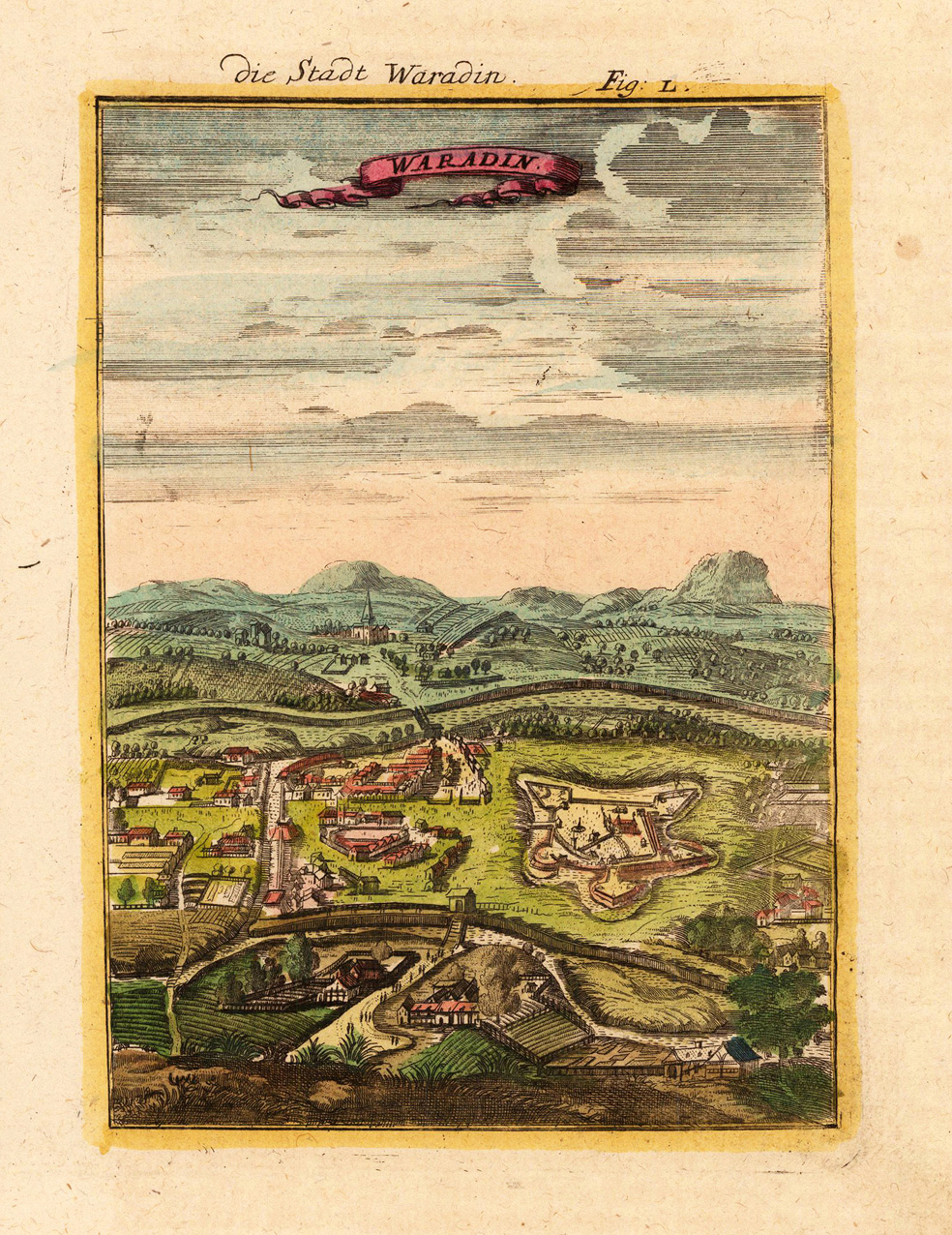
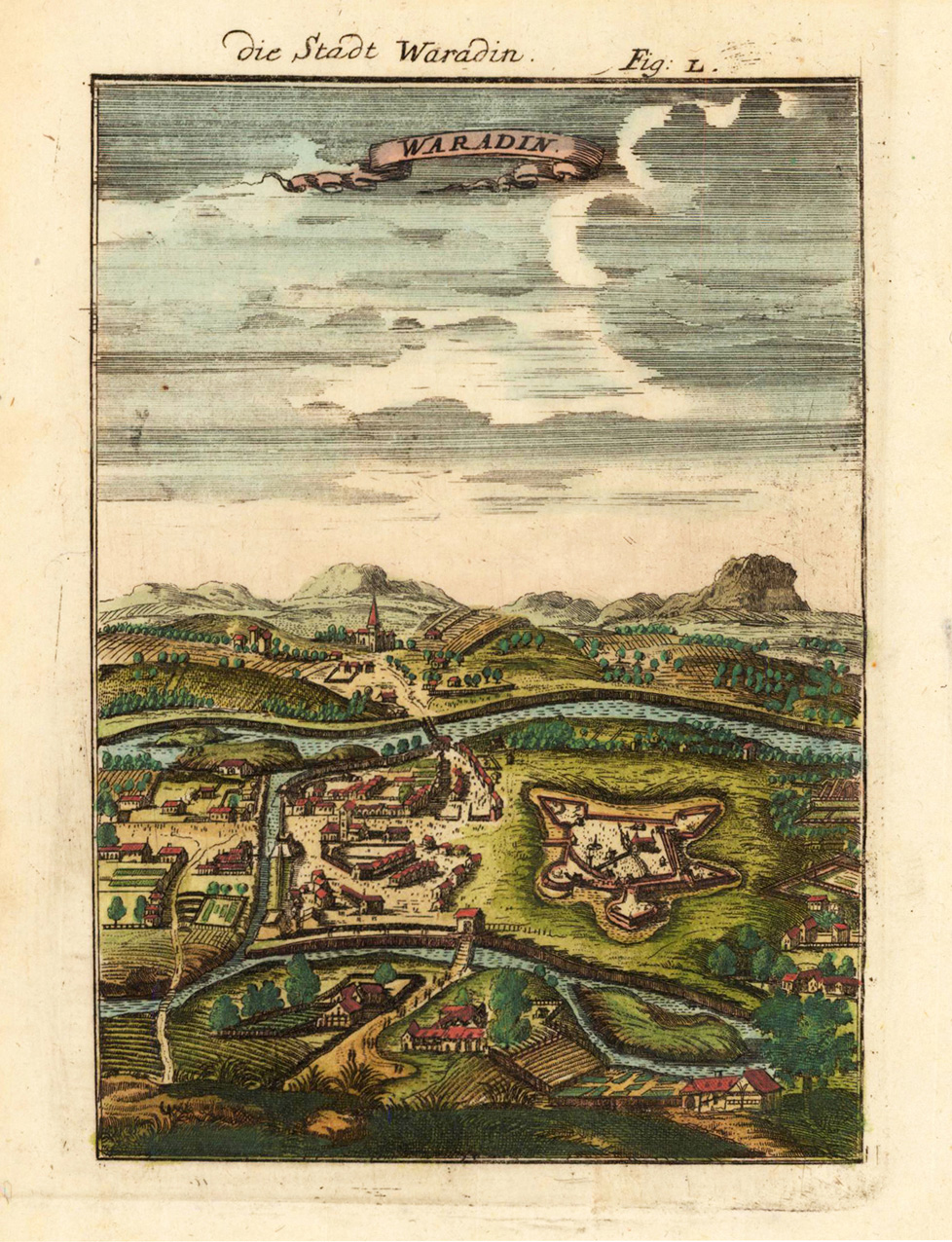
Copper engraving published in Allain M. Mallet's description of the world 'Description De L' Univers, Contenant Les Differents Systemes Du Monde, Les Cartes generales & particulieres ...'. French text edition with additional German titles on top. Bird's eye view of the city of Waradin with its fortifications and the nearer surroundings.
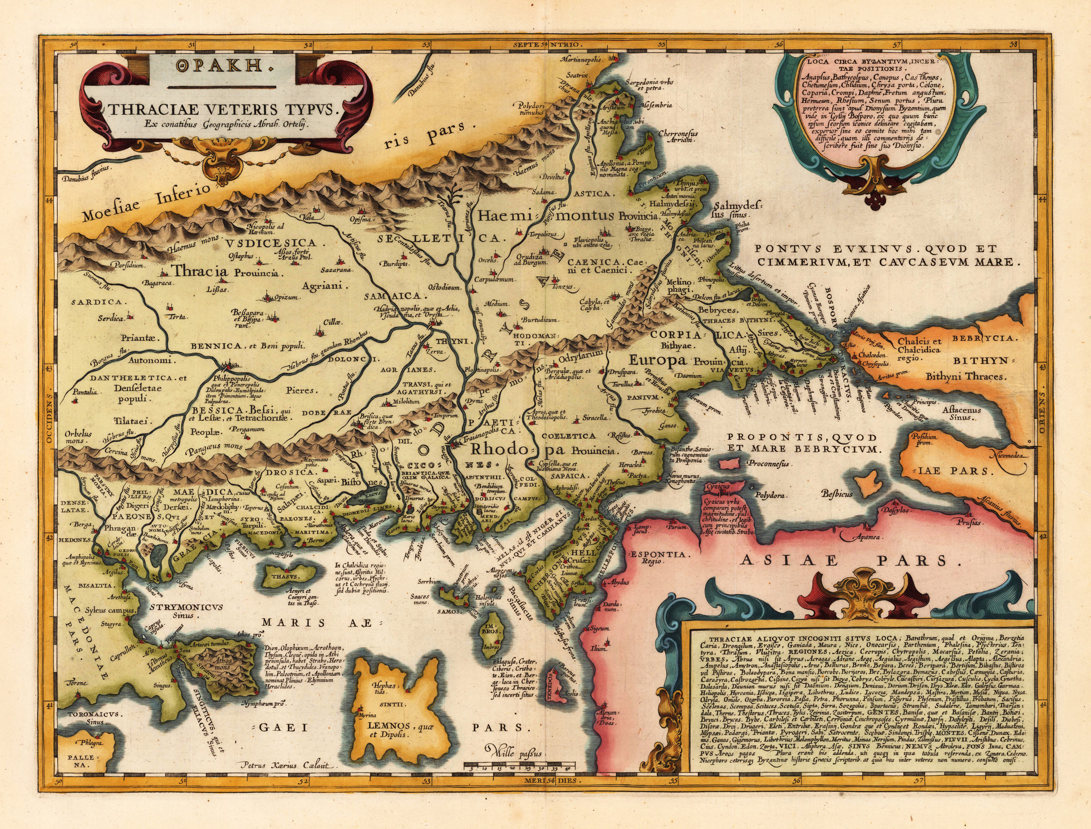
Copper engraving, decorative hand colored in outline and wash. Published in a Latin text edition of Joan. Jansson's famous historical Atlas. This antique map of Thracia is engraved and published by J. Janssonius after the cartographical sources by Abraham Ortelius. Ornated in the upper left corner with a title cartouche and dedication to Ortelius. Further on we find two extensive text cartouches with listings of place names. In the upper right corner the cartouche 'Loca Circa Byzantium' with a listing of place names belonging to Byzant and in the lower right corner a large text cartouche 'Thraciae Aliquot Incogniti Situs Loca' with a listing of place names belonging to Thraciae. Fine and early historical map on Thracia. The area on this map covers mainly Thracia in Northern Greece and parts of Romania. The map is ornated with three cartouches, in the upper left corner the title cartouche, on the lower and upper right side extensive listings of place name in two cartouches. Villages and towns are shown as miniature views.
Original antique copper engraving. This interesting map shows Romania. Romania is a country at the crossroads of Central, Eastern and Southeastern Europe. It borders Bulgaria to the south, Ukraine to the north, Hungary to the west, Serbia to the southwest, and Moldova to the east, and opens onto the Black Sea. There is a predominantly temperate continental climate. With a total area of 238,397 square kilometers, Romania is the twelfth largest country in Europe and the sixth most populous member state of the European Union with around 19.3 million inhabitants (as of 2020). The capital and largest city is Bucharest. Other important urban areas are Cluj-Napoca, Timișoara, Iași, Constanța, Craiova, Brașov and Galați. The Danube, Europe's second longest river, has its source in Germany's Black Forest and flows 2,857 km in a generally south-easterly direction through ten countries before flowing into the Romanian Danube Delta. (Wikipedia) Marginal water stains in the upper part of the double page map, margins generally slightly stained.