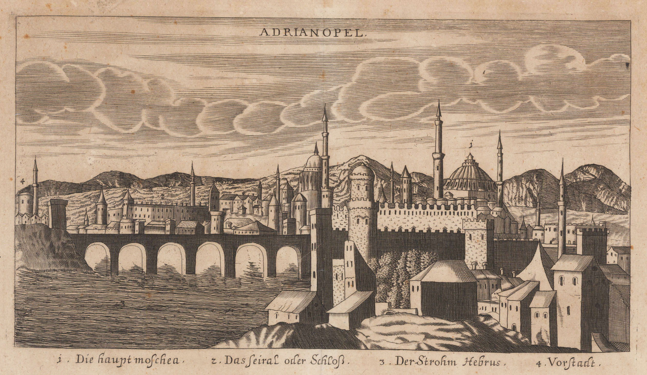
Original antique copper engraving, uncolored. Copper engraving from Johann Christoph Wagners,Delinatio Provinciarum Pannoniae Et Imperii Turcici In Oriente' 1685. Depicted is an overview of Adrianopel in Turkey, with mountains in the background. Under the view are declarations from 1 to 4.
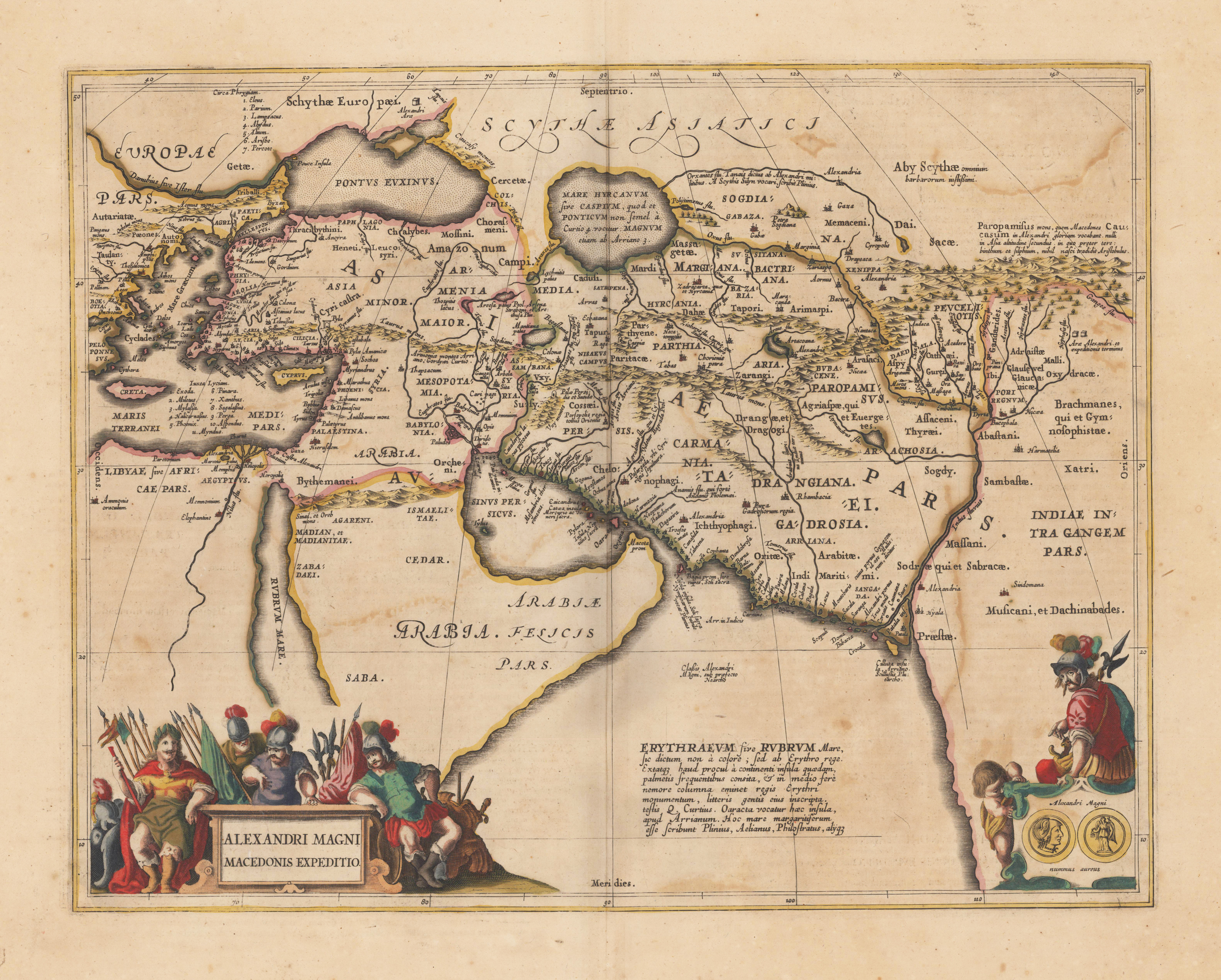
Original antique copper engraving, decorative hand colored in outline when published. Published in a Latin text edition of Joan. Jansson's historical Atlas. The map shows the region covered by Alexander the Great, ornated with two cartouches. In the lower left corner the title cartouche, on the lower right side a small decorative cartouche showing coins and a warrior. Villages and towns are shown as miniature views, as well rivers and mountains are engraved. Johannes Janssonius (1588, Arnhem – buried July 11, 1664, Amsterdam) (born Jan Janszoon, in English also Jan Jansson) was a Dutch cartographer and publisher who lived and worked in Amsterdam in the 17th century. Janssonius was born in Arnhem, the son of Jan Janszoon the Elder, a publisher and bookseller. In 1612 he married Elisabeth de Hondt, the daughter of Jodocus Hondius. He produced his first maps in 1616 of France and Italy. In 1623 Janssonius owned a bookstore in Frankfurt am Main, later also in Danzig, Stockholm, Copenhagen, Berlin, Königsberg, Geneva and Lyon. His wife Elisabeth died in 1627 and he married Elisabeth Carlier in 1629. He formed a partnership with his brother in law Henricus Hondius, and together they published atlases as Mercator/Hondius/Janssonius. Under the leadership of Janssonius the Hondius Atlas was steadily enlarged. Renamed Atlas Novus, it had three volumes in 1638, one fully dedicated to Italy. In 1646, a fourth volume came out with "English County Maps", a year after a similar issue by Joan Blaeu. Janssonius' maps are similar to those of Blaeu, and he is often accused of copying from his rival, but many of his maps predate those of Blaeu and/or covered different regions. By 1660, at which point the atlas bore the appropriate name "Atlas Major", there were 11 volumes, containing the work of about a hundred credited authors and engravers. It included a description of "most of the cities of the world" (Townatlas), of the waterworld (Atlas Maritimus in 33 maps), and of the Ancient World (60 maps). The eleventh volume was titled Atlas of the Heavens (a type of celestial cartography) by Andreas Cellarius. Editions were printed in Dutch, Latin, French, and a few times in German. After Janssonius's death, the publishing company was continued by his son-in law, Johannes van Waesbergen. The London bookseller Moses Pitt attempted publication of the Atlas Major in English, but ran out of resources after the fourth volume in 1683. (Wikipedia)
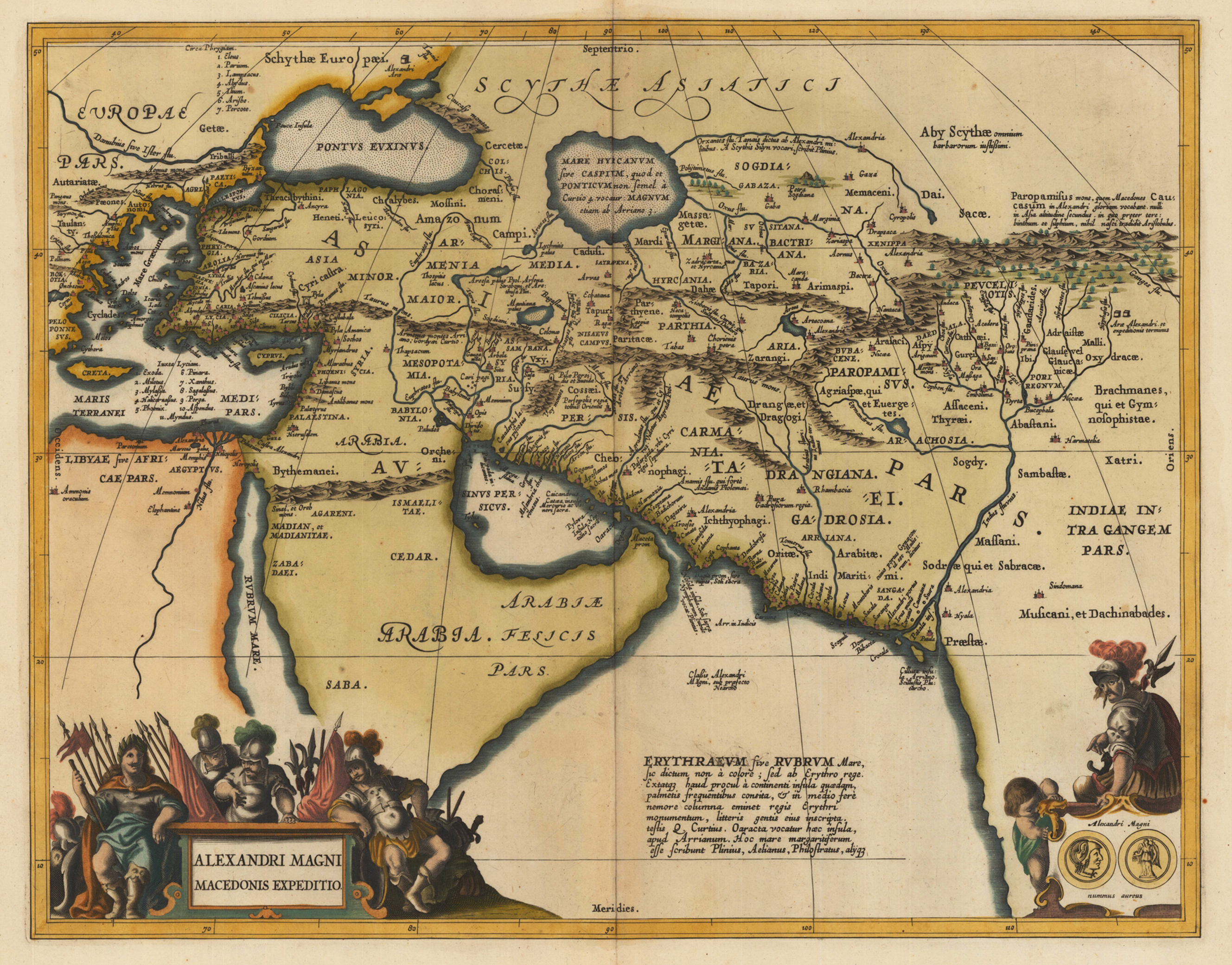
Copper engraving, decorative hand colored in outline and wash. Published in a Latin text edition of Joan. Jansson's historical Atlas, verso blank. The map shows the region covered by Alexander the Great, ornated with two cartouches. In the lower left corner the title cartouche, on the lower right side a small decorative cartouche showing coins and a warrior. Villages and towns are shown as miniature views, as well rivers and mountains are engraved.
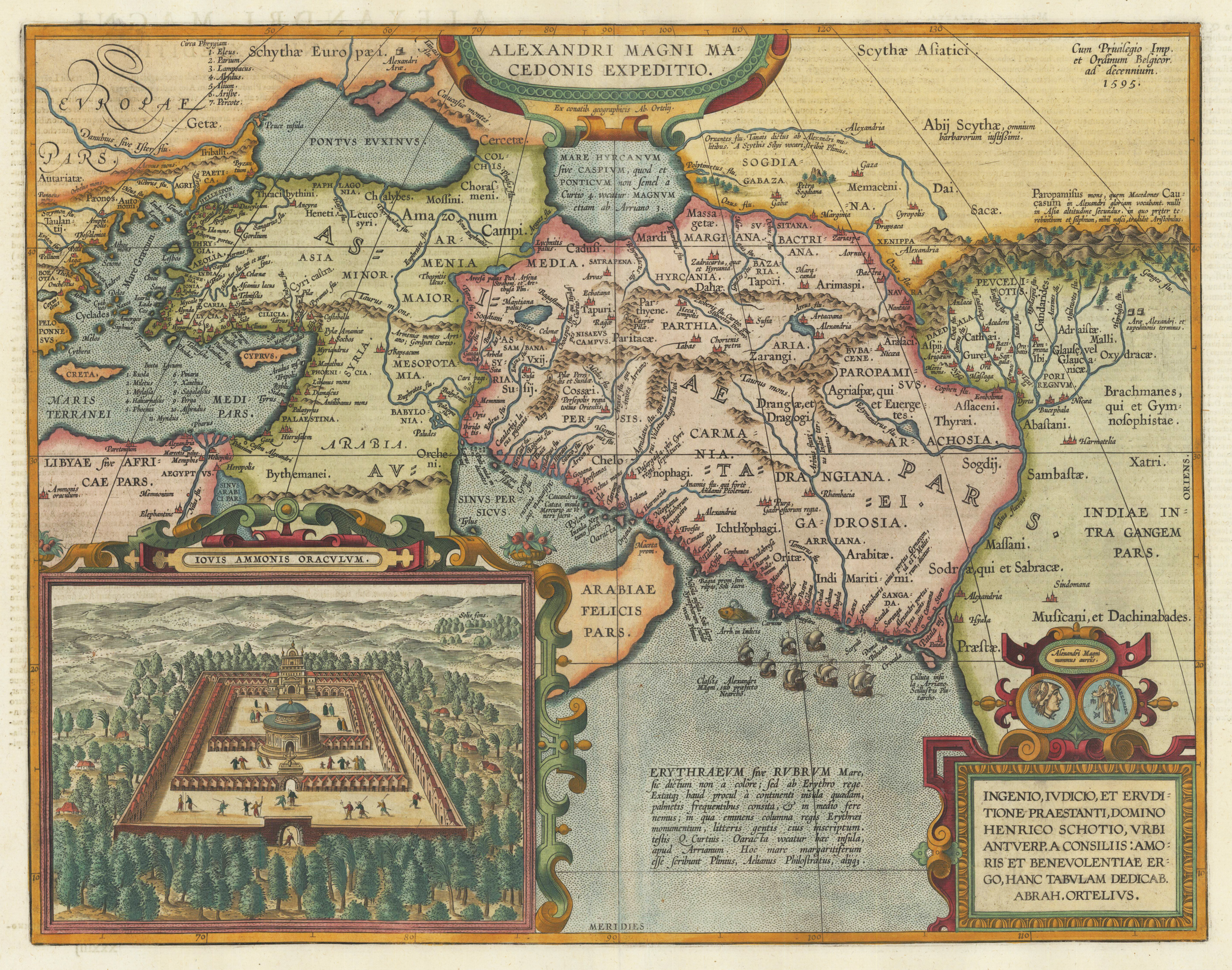
Original copper engraving, published 1612 in the famous historical atlas "Parergon" (Latin text-edition) by Abraham Ortelius. Finely later hand colored in wash and outline. Abraham Ortelius's historical map depicting the expedition of Alexander the Great with the inset view of the temple of Jupiter Amman, situated in present day in Libya, where Alexander the Great went to ask what would be the result of his expedition. The geographical sources of this map is based on various classical authors: Archelaus, Diogenes, Plinius, Ptolemy, Livius and Plutarch. This highly decorative and interessting historical map shows the Eastern Mediterranean Sea, the Middle East and Persia towards the neighbouring India. The fleet of Alexander the Great nicely engraved in the northern part of the Indian Ocean together with a small sea monster. Historical place names, rivers and mountain chains are engraved on the antique map. Lower right corner with a text cartouche with a dedication to Abraham Ortelius and above ornated with a coin showing a portrait of Alexander the Great. The map is ornated with two cartouches, on top in the middle the title cartouche, on the lower right side the decorative text cartouche and the ,priviliegium' with the date ,1595' in the upper right corner. In the lower left corner we find an inset showing the oracle of Jupiter Amman. Villages and towns are shown as miniature views. The map was published for the first time in 1595 in the edition of the ,Theatrum Orbis Terrarum' and was published until 1624 in the atlas ,Parergon' by A. Ortelius.
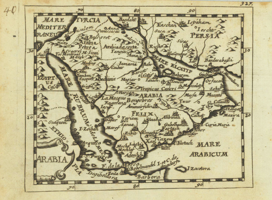
Original copper engraving, uncolored. Published in Pierre Du Val's atlas ,Anderer Theil der allgemeinen Weltbeschreibung von Europa' (German edition Nürnberg at Johann Hoffmann & Christoph Gerhard.
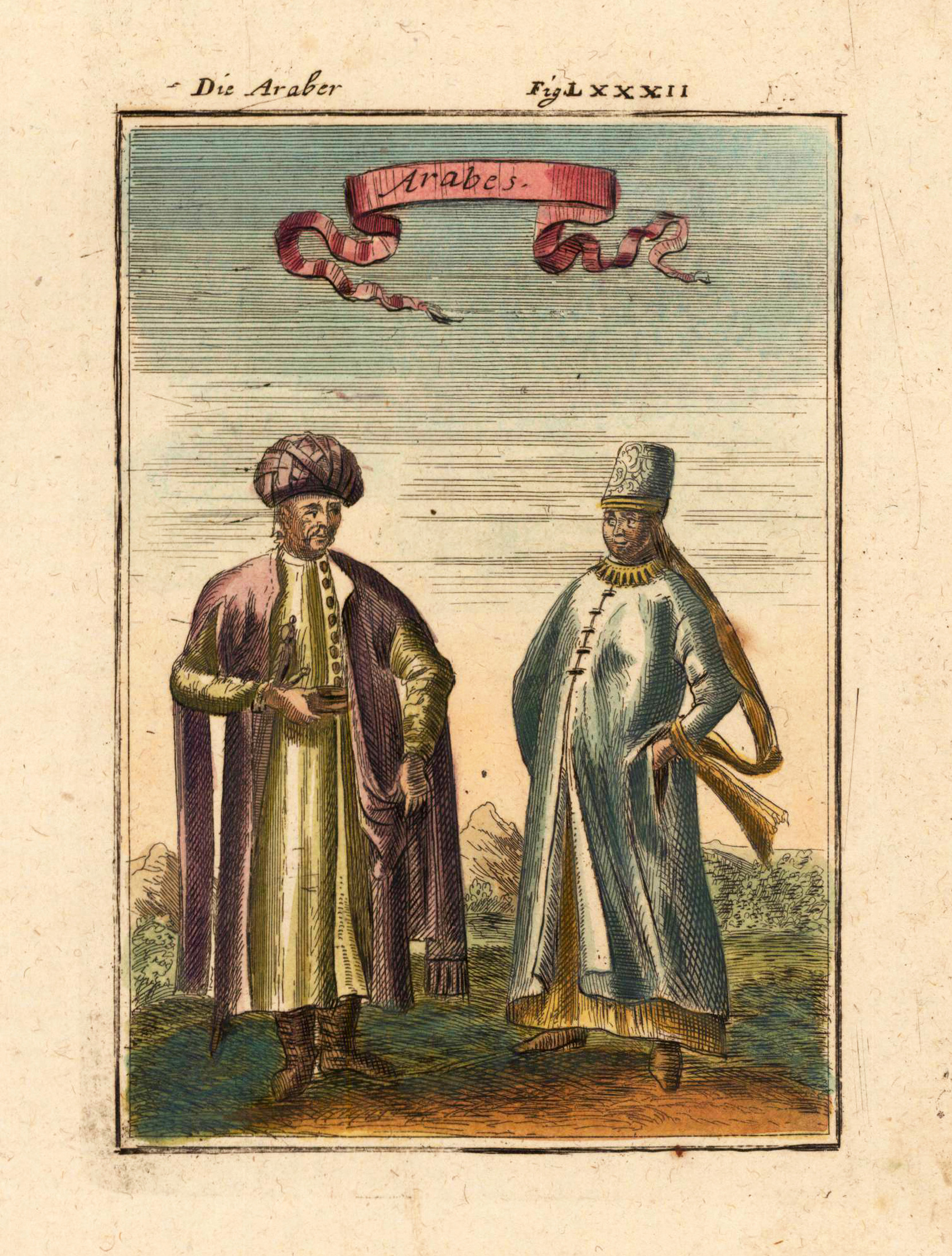
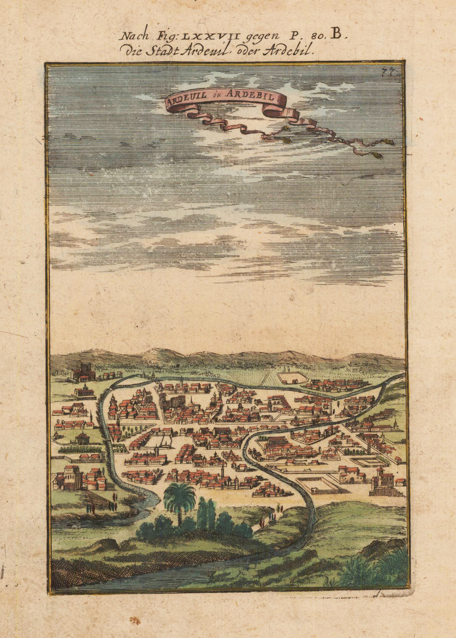
Copper engraving, hand colored in outline and wash. This is a rare 1719 Manesson Mallet engraving of "Ardeuil ou Ardebil", from "Beschreibung des rohen Welt Kreises...", a German translation of the gavel of the "Description de L'Univers." Alain Manesson Mallet (1630-1706) was a French cartographer and engineer. He started his career as a soldier in the army of Louis XIV, became a Sergeant-Major in the artillery and an Inspector of Fortifications. He also served under the King of Portugal, before returning to France, and his appointment to the court of Louis XIV. His military engineering and mathematical background led to his position teaching mathematics at court. [1] His major publications were 'Description de L'Univers' (1683) in 5 volumes, and 'Les Travaux de Mars ou l'Art de la Guerre' (1684) in 3 volumes. His 'Description de L'Universe' contains a wide variety of information, including star maps, maps of the ancient and modern world, and a synopsis of the customs, religion and government of the many nations included in his text. It has been suggested that his background as a teacher led to his being concerned with entertaining his readers. This concern manifests itself in the charming harbor scenes and rural landscapes that he included beneath his description of astronomical concepts and diagrams. Mallet himself drew most of the figures that were engraved for this book.
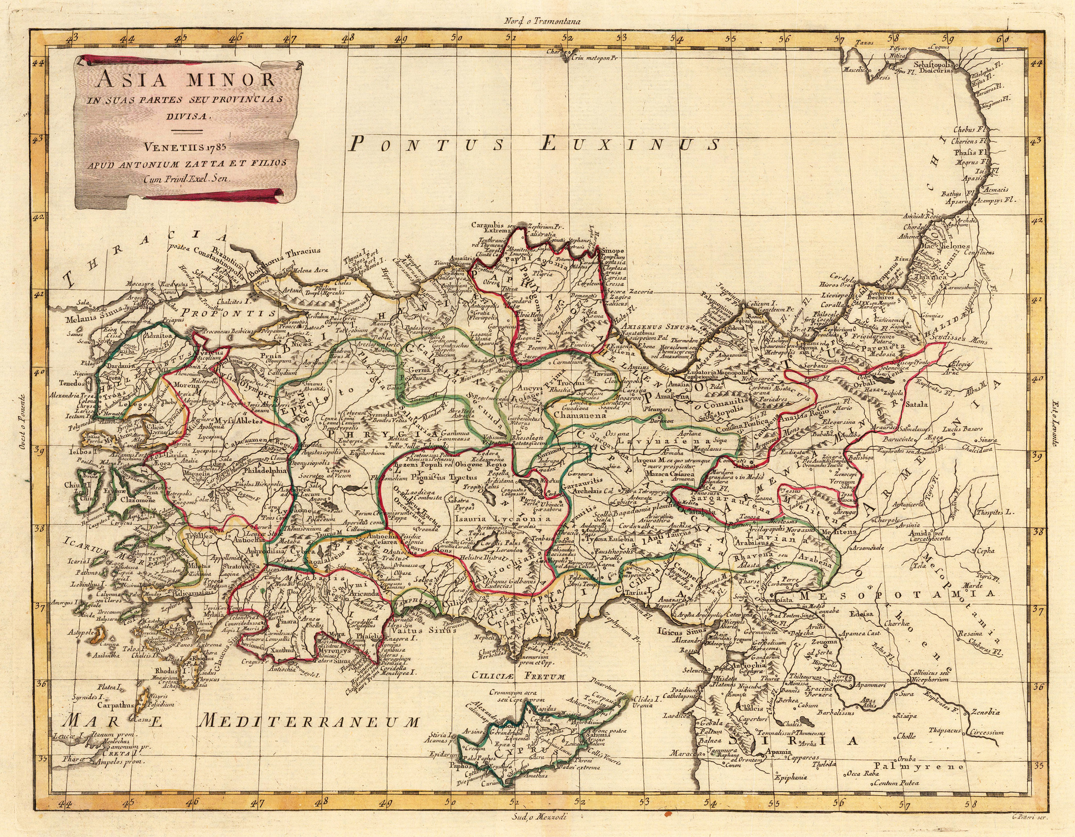
Copper engraving, in contemporary original color in outline. Published in Zatta's "Atlante Novissimo". A decorative map of Asia divided up into its regions with the neighboring island Cyprus in the Eastern Mediterranean Sea. Further it shows the adjacenting Armenia and Mesopotamia. Equipped with a decorative title cartouche in the upper left corner.
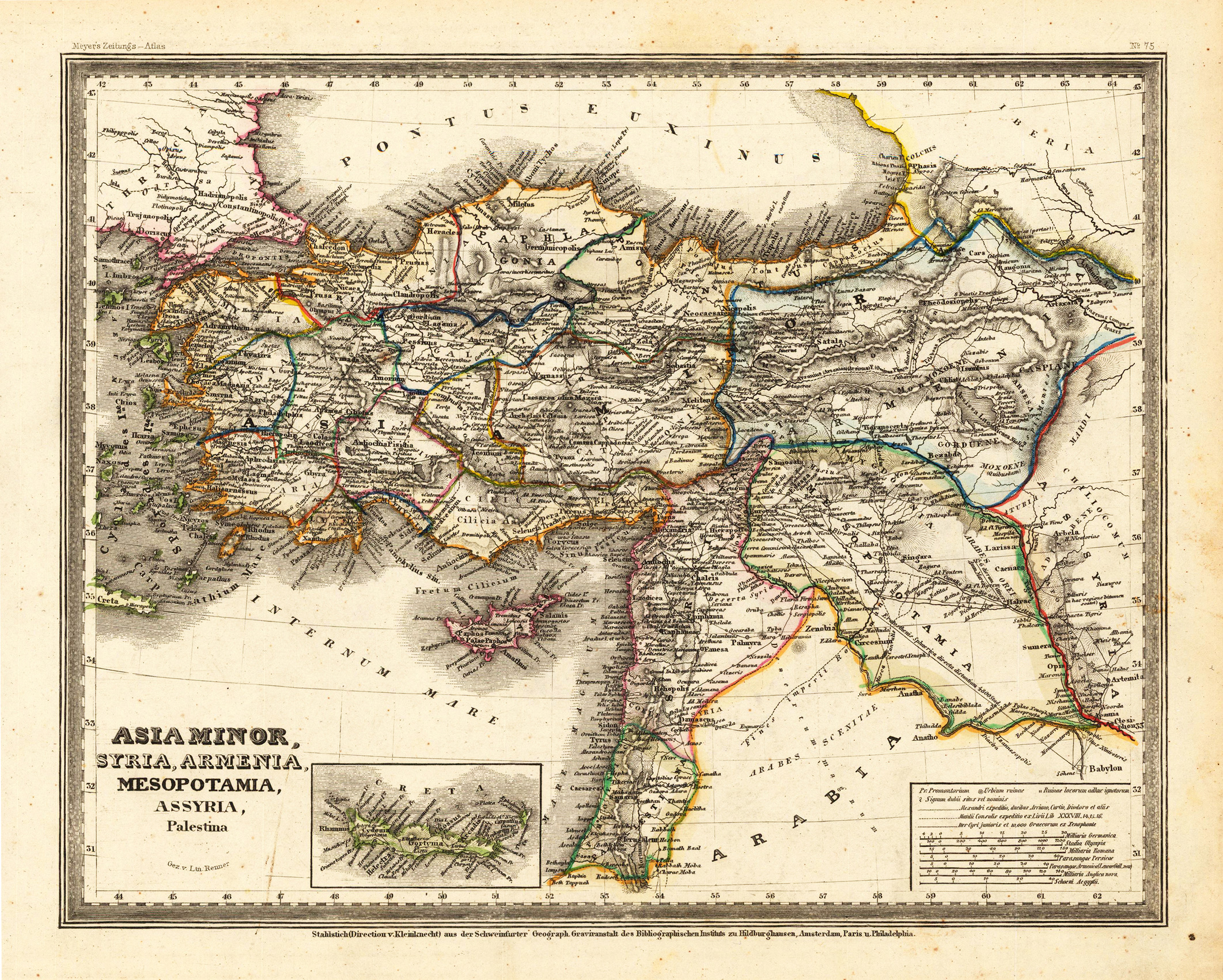
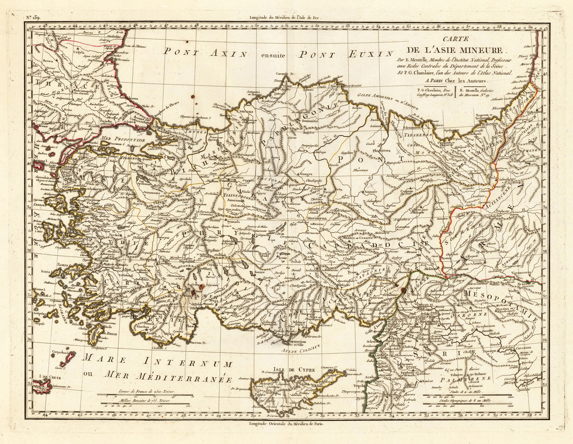
Steel engraving, hand colored in outline when published. This antique map shows Asia Minor with a small part of Arabia. Inside the map are many place names, rivers, etc. At the bottom of the map we see small inset map, which shows the island Crete. In the lower right corner is a inset map, which shows the mileage scales.
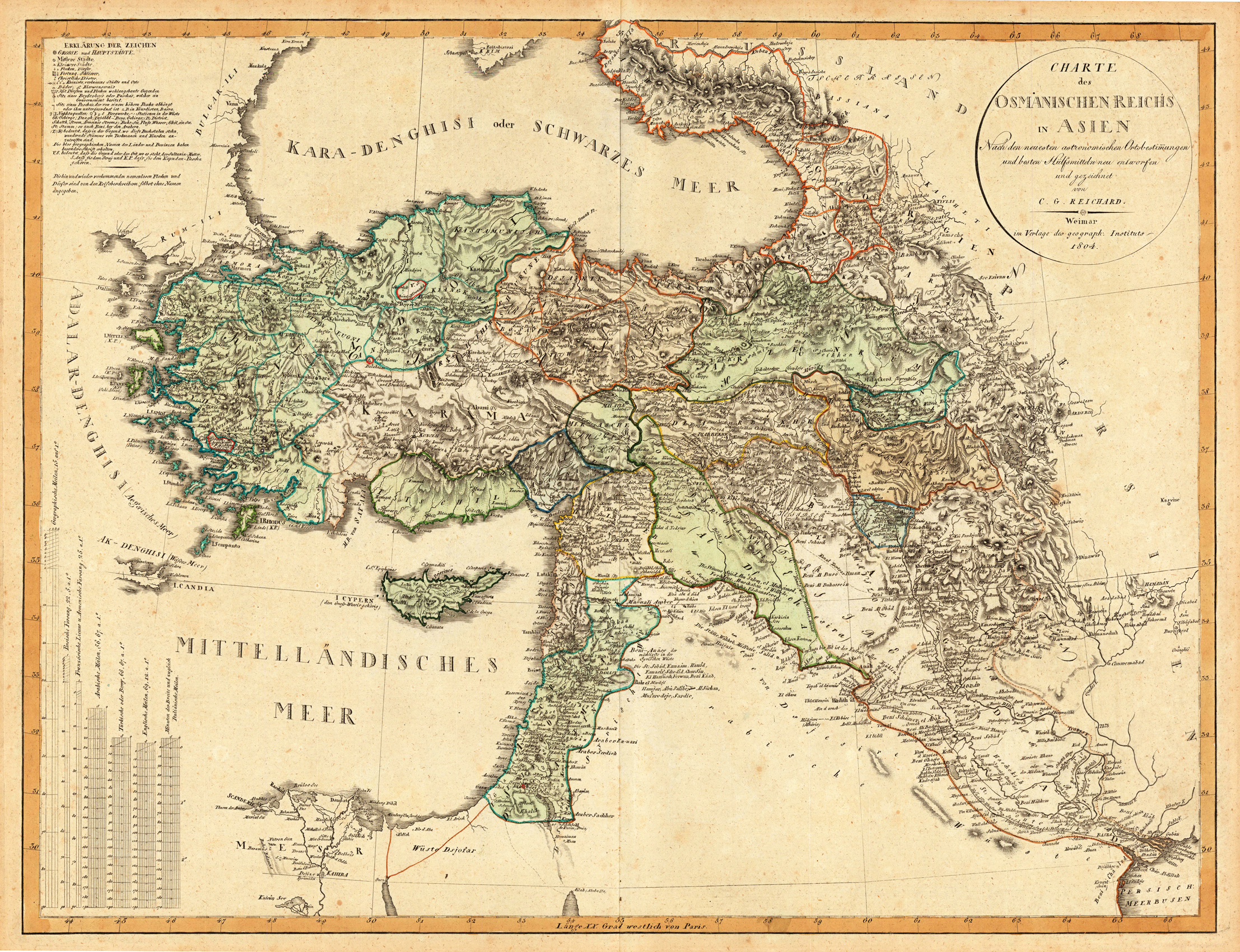
Original antique copper engraving, in contemporary original color in outline. Decorative map showing 'Asia Minor' with its neighbouring countries. The eastern part of the Mediterranean Sea with Cyprus is as well shown. The various political regions in Turkey are shown in outline colors. The map provides a lot of information on the various regions, its cities and villages, rivers, mountains are as well shown.
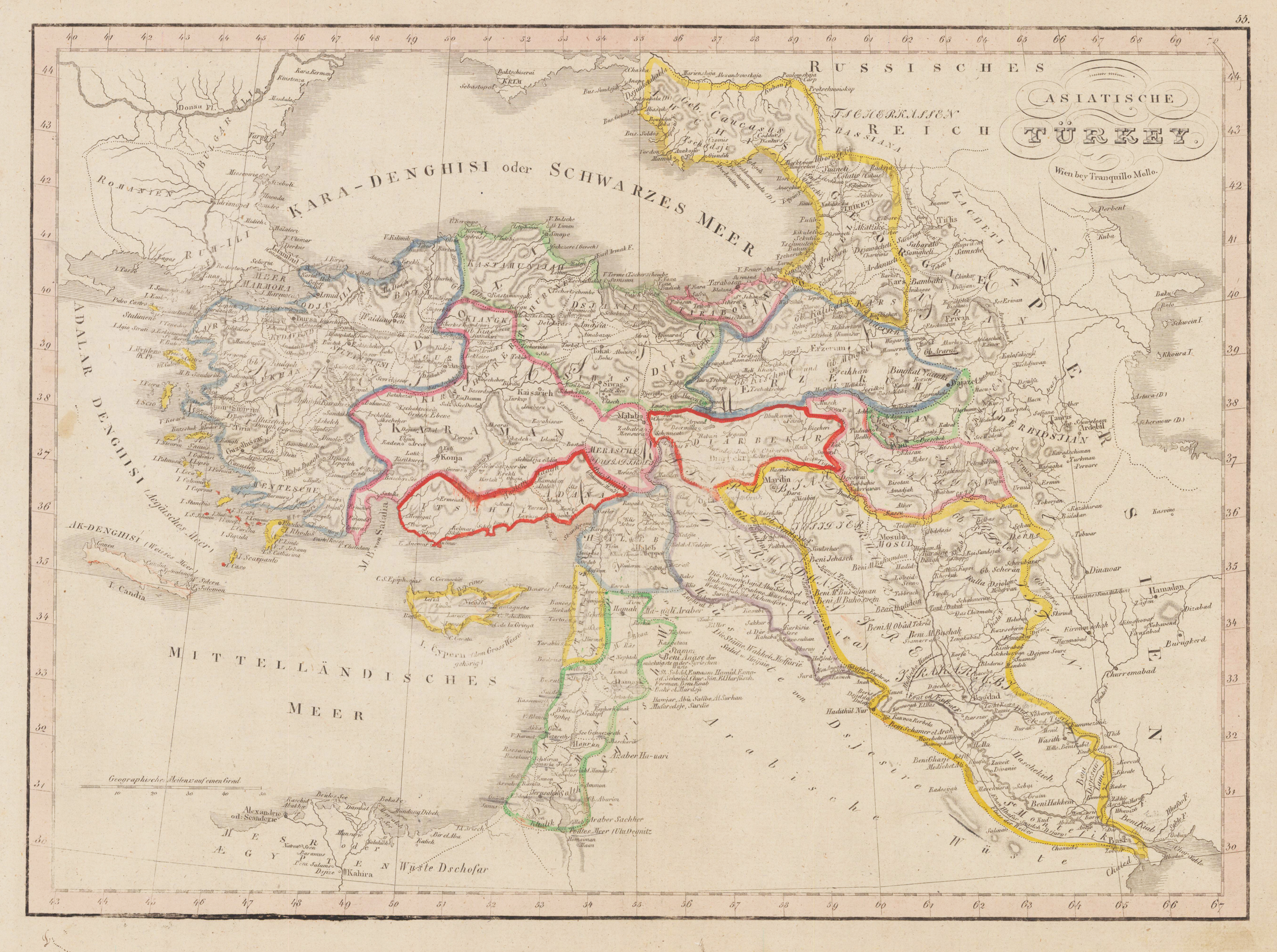
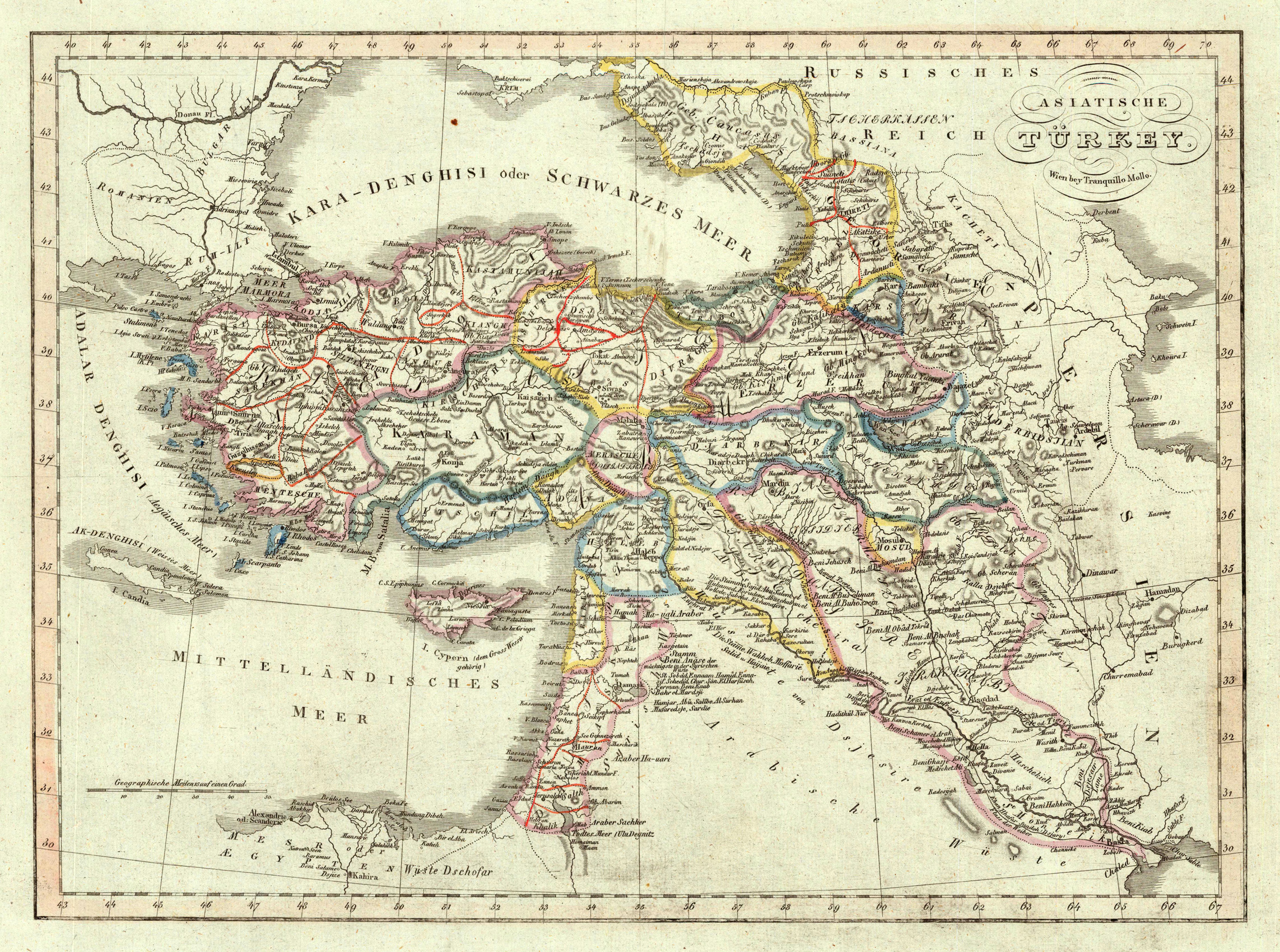
Original antique copper engraving, hand colored in outline and wash, when published. Decorative map showing 'Asia Minor' with its neighbouring countries. The eastern part of the Mediterranean Sea with Cyprus is as well shown. The various political regions in Turkey are shown in outline colors. The map provides a lot of information on the various regions, its cities and villages, rivers, mountains are as well shown. Tranquillo Maria Laurentio Mollo (August 10, 1767 - March 29, 1837) was Vienna based Swiss/Italian graphic designer, printer, art and music dealer, and publisher active in the late 18th and early 20th centuries. From about 1792 Mollo worked with the Vienna firm Artaria and Company. In 1798 he separated from Artaria to found, along with partner Franz Bernardini, his own music, art, and map publishing company, T. Mollo and Co. The partner collapsed after one year and Mollo took a new partner, Domenico Artaria, a scion of the Artaria family. In 1802 Mollo and Domenico acquired Artaria and Company from Carlo Artaria. Domenico and Mollo parted ways in 1804, after which Mollo published independently. Under his own imprint, he became one of Austria's most important globe and map publishers. He collaborated extensively with English and French publishers to bring French material to his work. Among his more significant collaborators was the Vienna publisher Joseph Dirwaldt. In 1832 Mollo passed the company to his sons, Eduard (1799-1842) and Florian Mollo (1803-1869). The Mollo brothers ran the business until 1839, three years after Tranquillo Mollo's death, before dividing the concern into separate business. Mollo married Dorothea Defelavis († 29. Juli 1822). (Wikipedia)
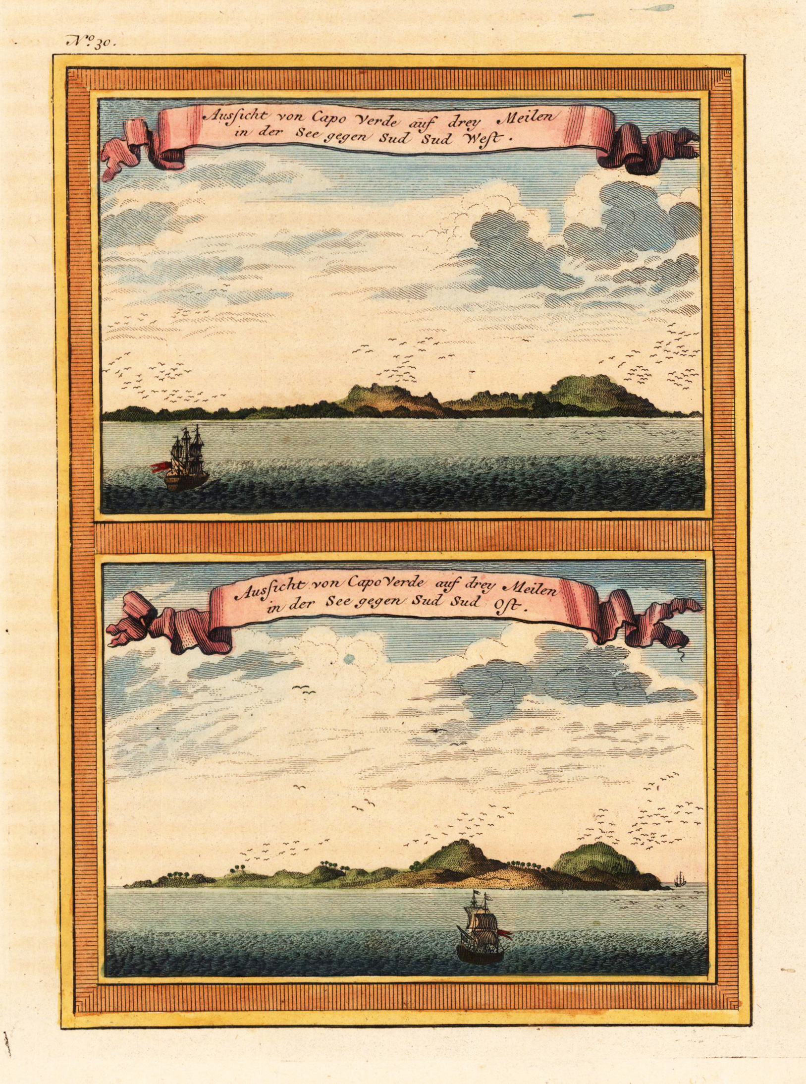
Copper engraving, hand colored in outline and wash when published. A fine detailed and interesting map engraved by Bellin after earlier voyages. Published in the German edition by Schwabe in Leipzig of Bellin's travel books.
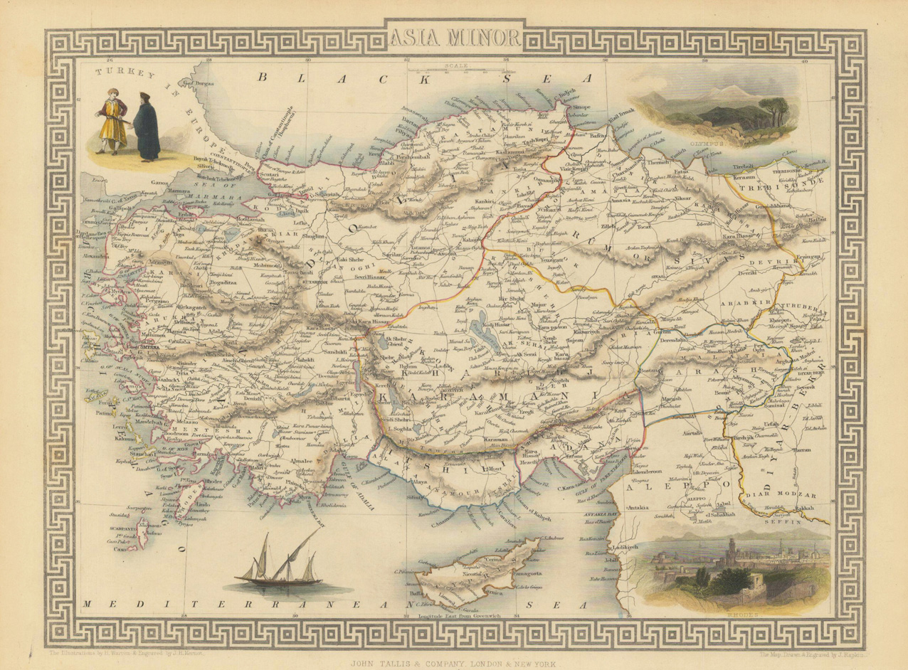
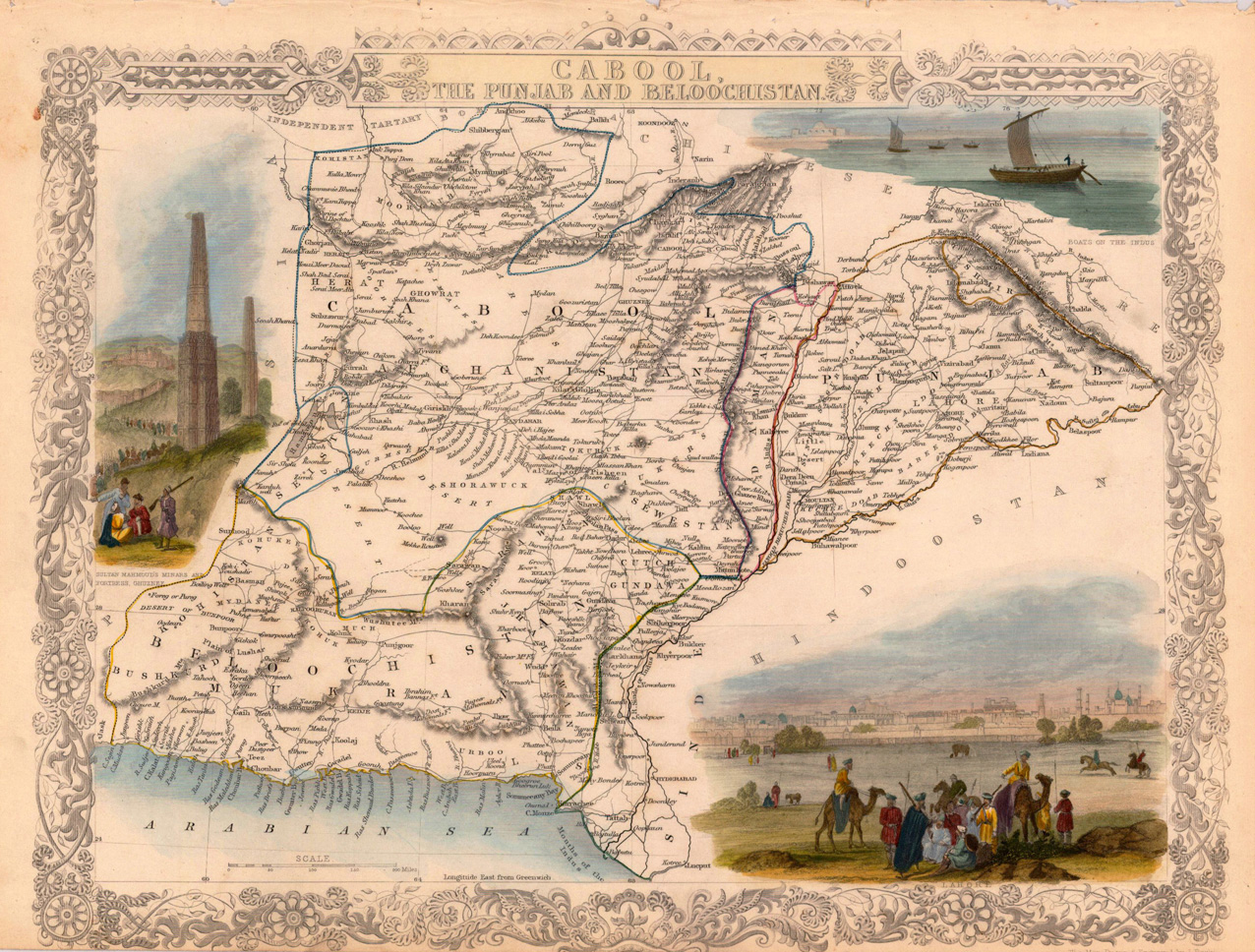
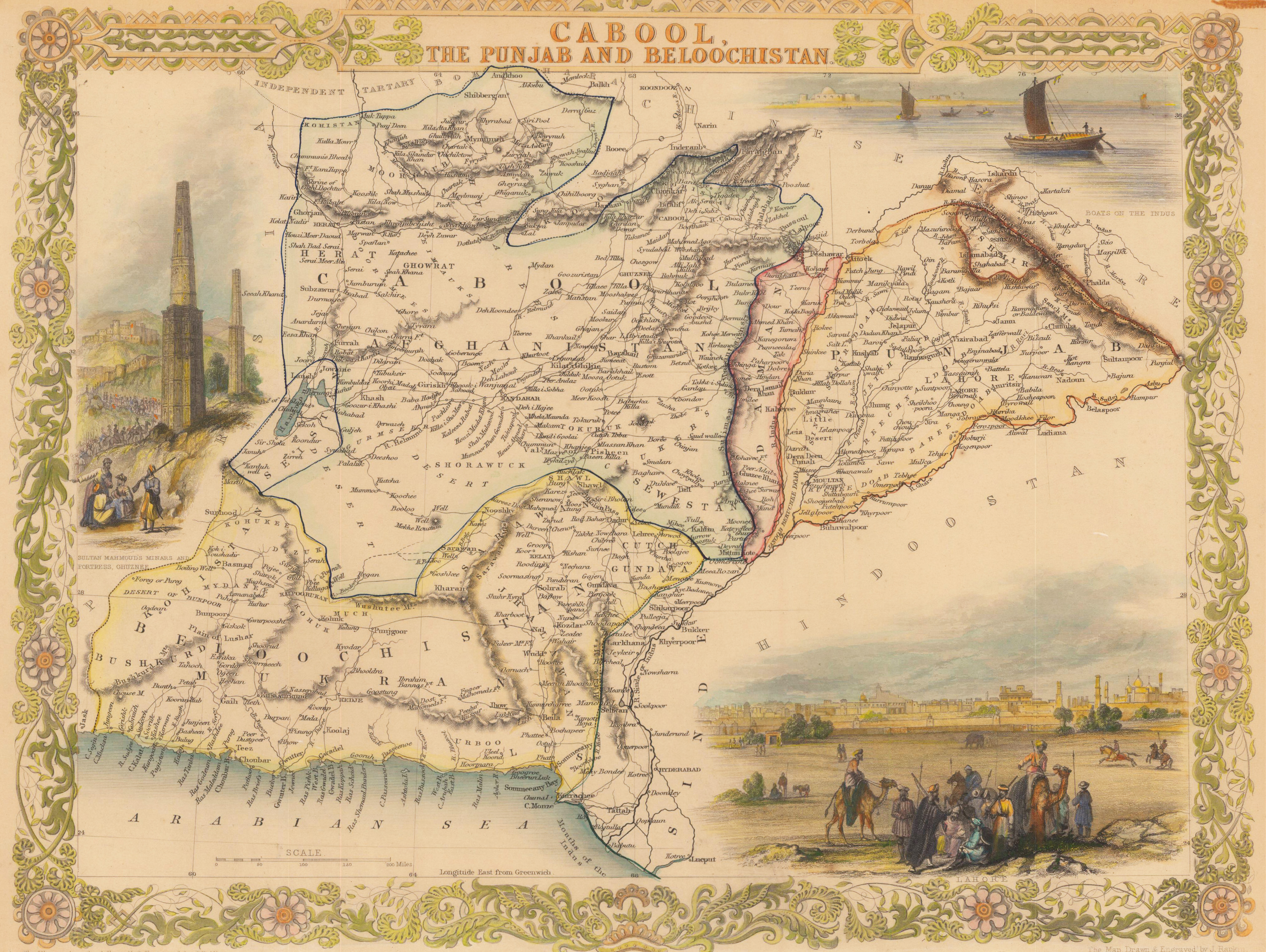
Original antique steel engraving, hand colored in outline and wash. Original steel engraved map of Afghanistan and today's Pakistan. Accompanied by vignette scenes of Lahore, the Minars and Sultan Mahmoud's fortress at Ghuznee and the boats on the Indus. Decorative scrolls and title cartouches on the edges of the maps. John Tallis (7 November 1817 – 3 June 1876) was an English cartographic publisher. His company, John Tallis & Company, published views, maps and atlases in London from roughly 1838 to 1851. Tallis set up as a publisher with Frederick Tallis in Cripplegate in 1842; the business moved to Smithfield in 1846, and was dissolved in 1849. From 1851 to 1854 Tallis operated as John Tallis & Company. He started the Illustrated News of the World which issued engraved portraits as supplements in a series entitled 'National Portrait Gallery of eminent personages' in 1858, selling it for £1,370 in 1861; it folded in 1863. The series was subsequently republished in a number of separate volumes. He lived in New Cross, South East London. His house on New Cross Road is listed as a Building of Special Architectural or Historic Interest, grade II. It has a blue plaque on the wall to signal the event. (Wikipedia)
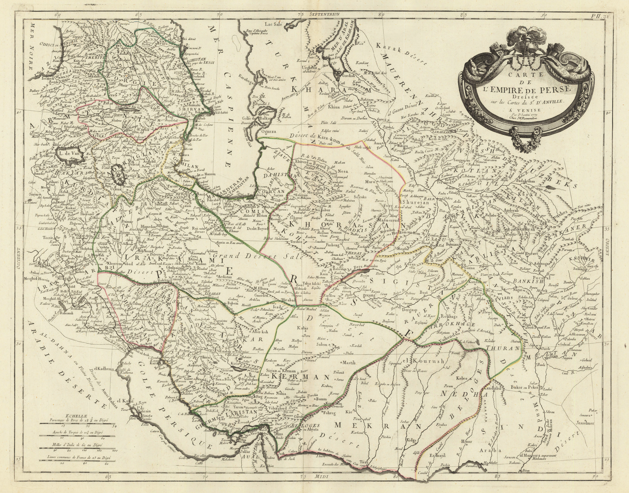
Copper engraving, hand colored in outline when published. Detailed antique map of the kingdom of Persia printed and published 1779. The map is based on Sr. Anville's map of Persia around 1750, published first in Paris, it was published here by P. Santini and M. Remondini 1779 in Venice. The detailed map depicts the kingdom of Persia with its individual regions including their political borders (engraved and in outline colors). The names of the regions are given on the map. Further place names, rivers, lakes, mountains, deserts, etc. are engraved. In the lowerr left corner a mileage scale with Persian, Turkish, Italian and French miles.
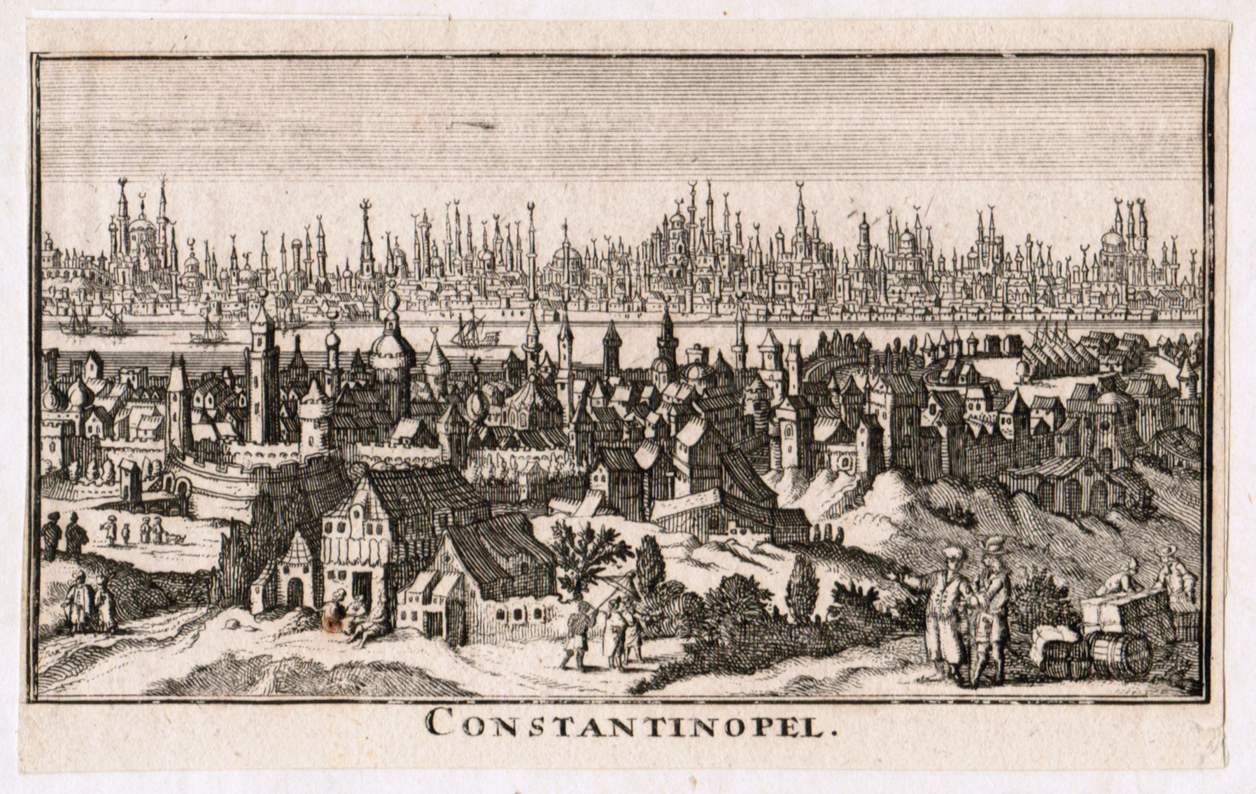
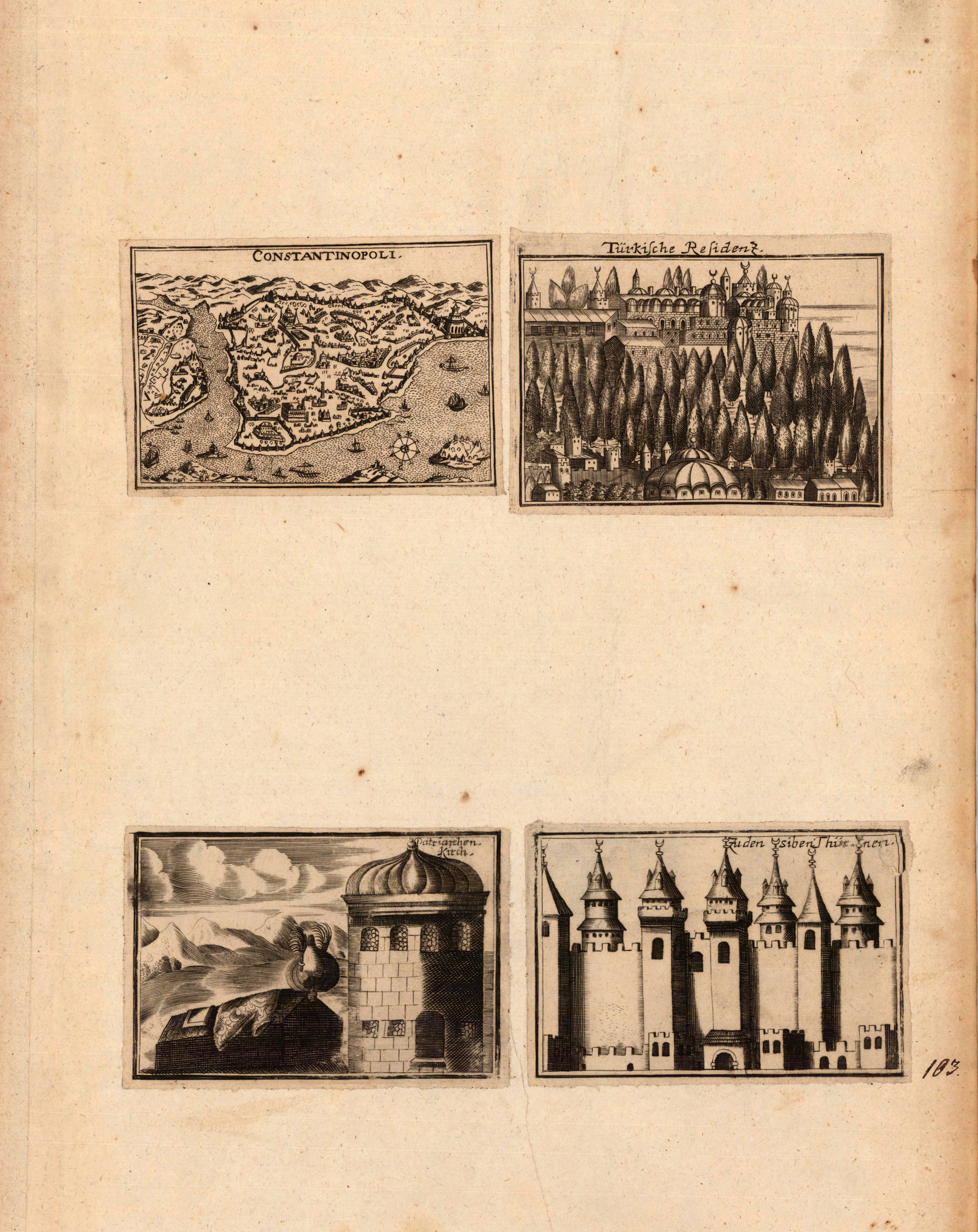
Copper engraving, uncolored as published. A fine bird'eye panoramic map showing Constantinople at the end of the 17th century. Rural landscape in the foreground with inhabitants. The engraving was probably published in a large doublepage map showing views of cities and fortresses in the Balkan and around Constantinople. Therefore the engraving is cut close the margins.
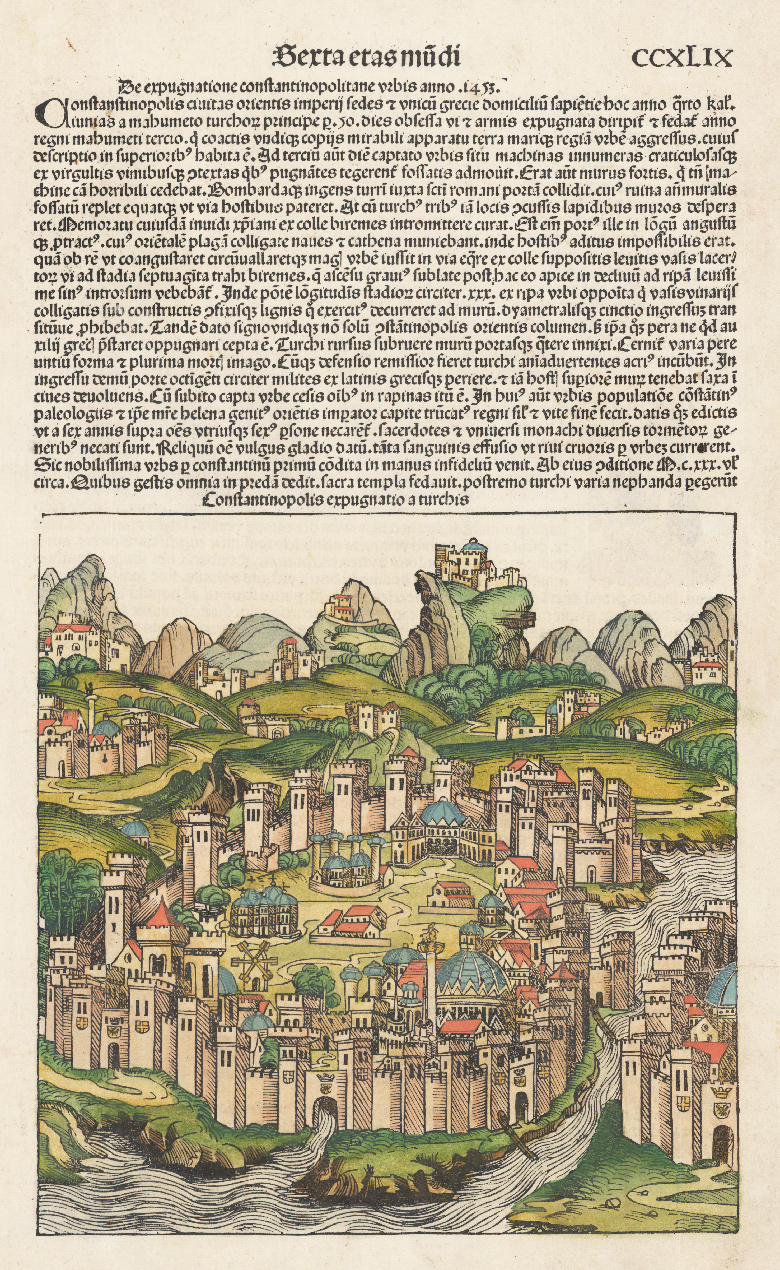
Original woodcut from the famous "Nurnberg Chronicle", printed in Nürnberg in December 1493. This plate was exactly published and printed in December 1493 in Nurnberg at Anton Koberger. The "Nurnberg Chronicle" was the earliest and most richly illustrated incunabula and description of the world, which was as well illustrated with a small number of authentic double page city views. The woodcuts were mostly cut by Pleydenwurff.
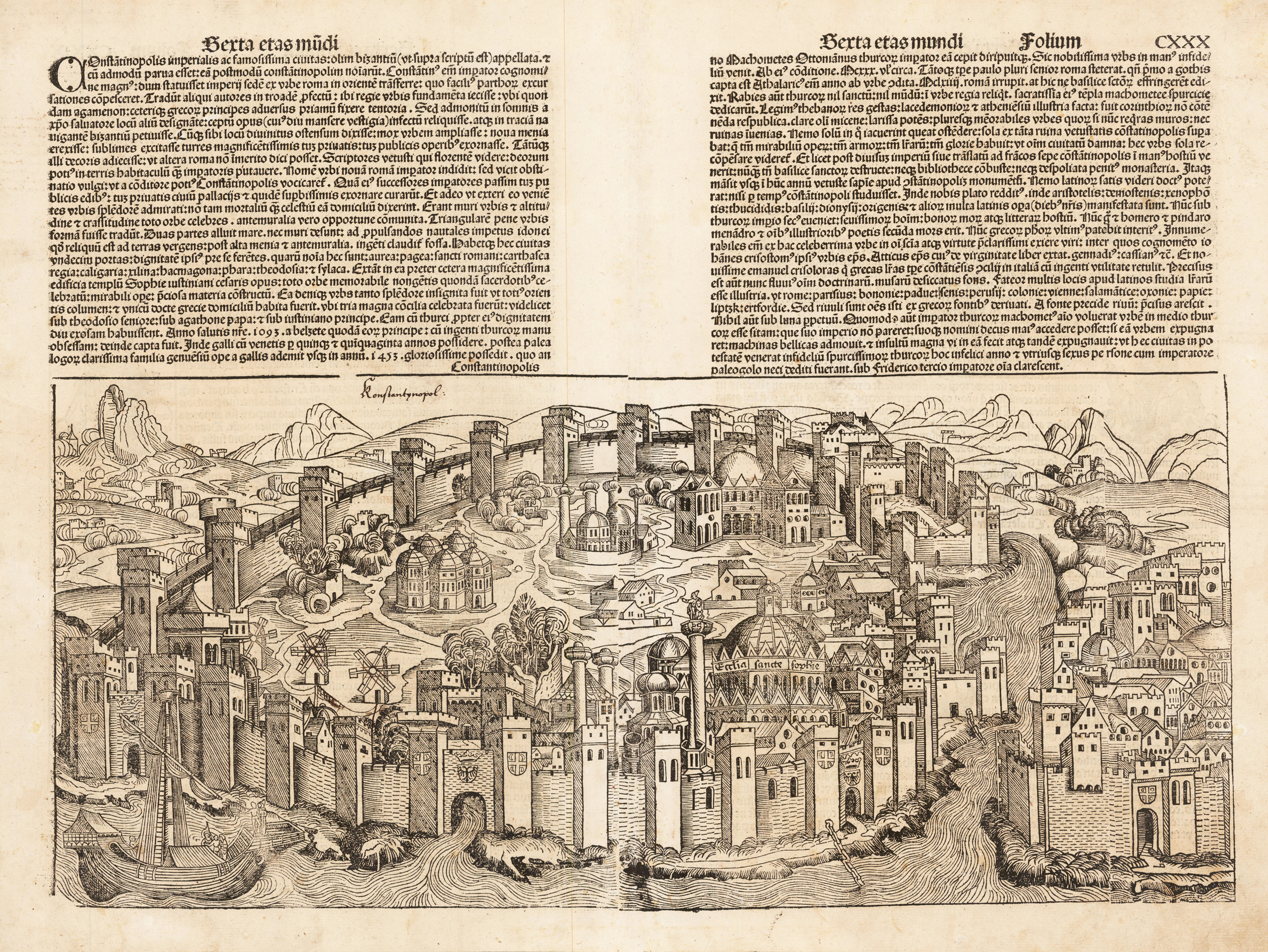
Original woodcut from the famous "Nurnberg Chronicle", printed in Nürnberg, in July 1493. Verso illustrated as well with four smaller woodcuts of saints. Latin text edition. This view of Konstantinopel is one of the earliest obtainable authentic city views, published only a few years before 1500. This plate was exactly published and printed in July 1493 in Nurnberg at Koberger. The "Nurnberg Chronicle" was the earliest and most richly illustrated incunable and descripton of the world, which was as well illustrated with a small number of authentic doublepage city views. The woodcuts were mostly cut by Pleydenwurff. On the full sheet as published. Mended stitch wholes at the centre fold and other smaller paper restorations excellent done. Please note: This item, if shipped outside the EU requires an export license, please allow 10-14 work days. We will take for it. Questions please contact us.
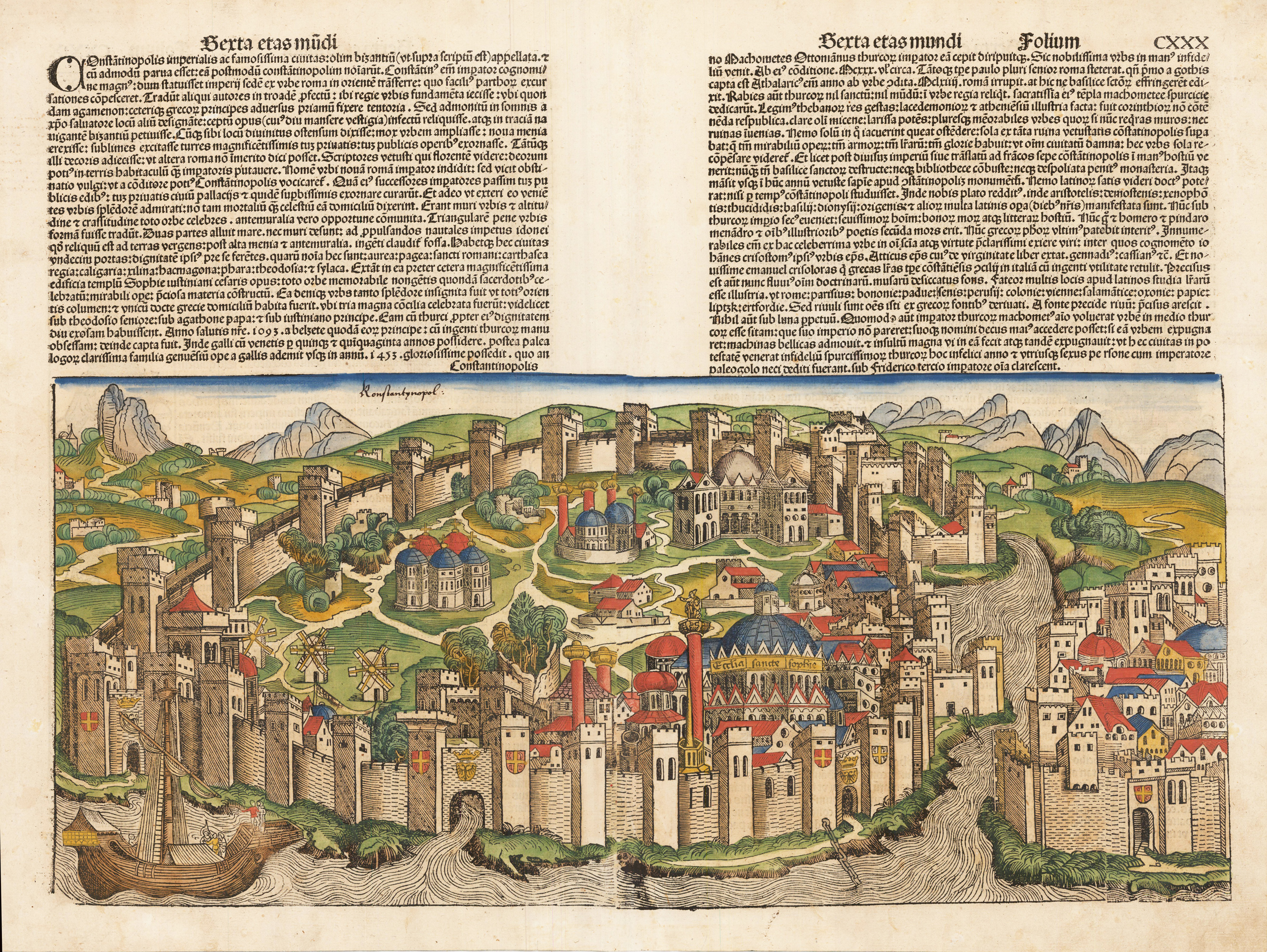
Original hand colored woodcut from the famous "Nurnberg Chronicle", printed in Nürnberg, in July 1493. Verso illustrated as well with four smaller woodcuts of saints. Latin text edition. This view of Konstantinopel is one of the earliest obtainable authentic city views, published only a few years before 1500. This plate was exactly published and printed in July 1493 in Nurnberg at Koberger. The "Nurnberg Chronicle" was the earliest and most richly illustrated incunable and descripton of the world, which was as well illustrated with a small number of authentic doublepage city views. The woodcuts were mostly cut by Pleydenwurff. On the full sheet as published. Mended stitch wholes at the centre fold and other smaller paper restorations excellent done.