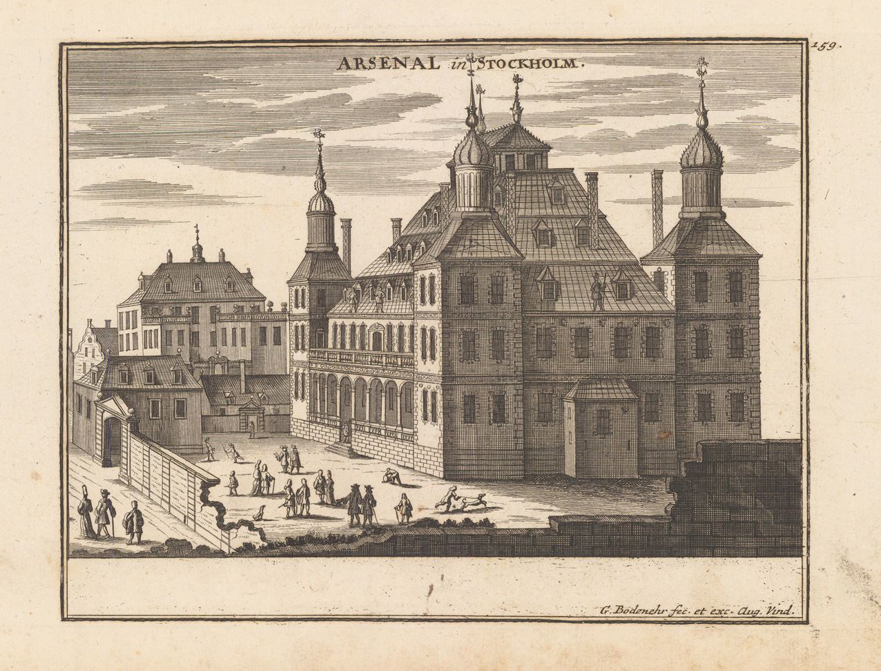
Original antique copper engraving, uncolored as published. This fine engraved view of the Palace Makalös in Stockholm was published in Gabriel Bodenehr's famous serious "Europeans Macht und Pracht", a series of engravings depicting city views, plans, fortresses and castles in Europe. Many plates often are showing fortifications in Hungary and Southeast Europe, Spain, Belgium, Austria and Germany. Gabriel Bodenehr was during this period a sucessful publisher for maps and prints in Augsburg in Southern Germany. Gabriel Bodenehr the Elder (1664-1758 or 1673-1765) was a German map maker and member of a famous engraver and publisher family of Augsburg. His main work was "Atlas Curieux" first published 1704. He was the son of Johann Georg Bodenehr (1631-1703). Gabriel's son was Gabriel Bodenehr the Younger (1705–1792).
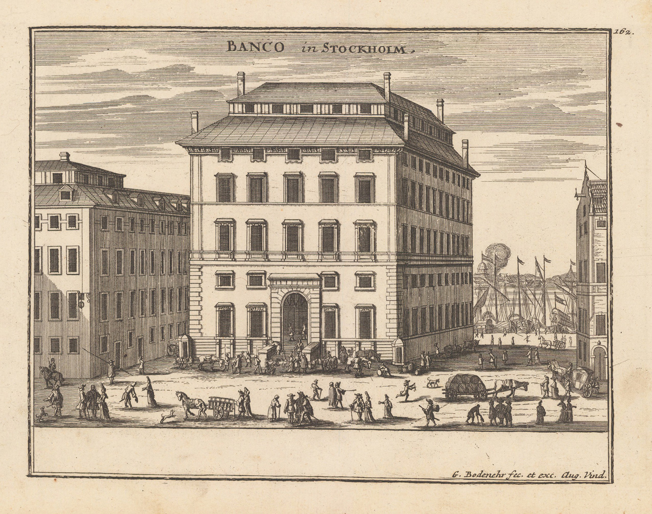
Original antique copper engraving, uncolored as published. This fine engraving shows the bank building in Stockholm and was published in Gabriel Bodenehr's famous serious "Europeans Macht und Pracht", a series of engravings depicting city views, plans, fortresses and castles in Europe. Many plates often are showing fortifications in Hungary and Southeast Europe, Spain, Belgium, Austria and Germany. Gabriel Bodenehr was during this period a sucessful publisher for maps and prints in Augsburg in Southern Germany. Gabriel Bodenehr the Elder (1664-1758 or 1673-1765) was a German map maker and member of a famous engraver and publisher family of Augsburg. His main work was "Atlas Curieux" first published 1704. He was the son of Johann Georg Bodenehr (1631-1703). Gabriel's son was Gabriel Bodenehr the Younger (1705–1792).
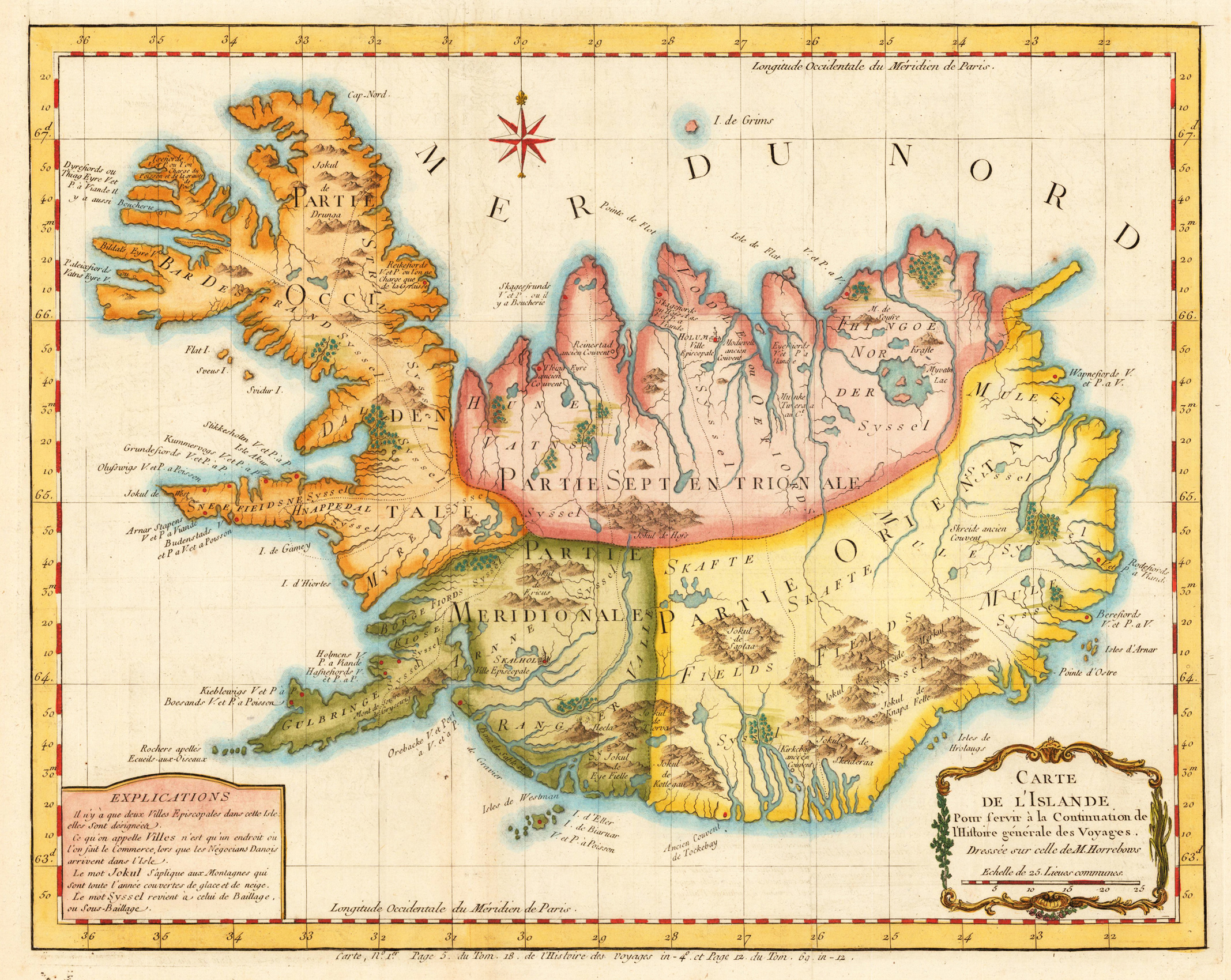
Copper engraving, hand colored. A decorative detailed antique map of Iceland published in Bellin's travel books around 1760. The interesting old map of Iceland with engraved mountains, rivers, lakes, vulcanos, very few engraved place names, further the names of the various syssels, which are a historical type of country subdivision in Iceland.
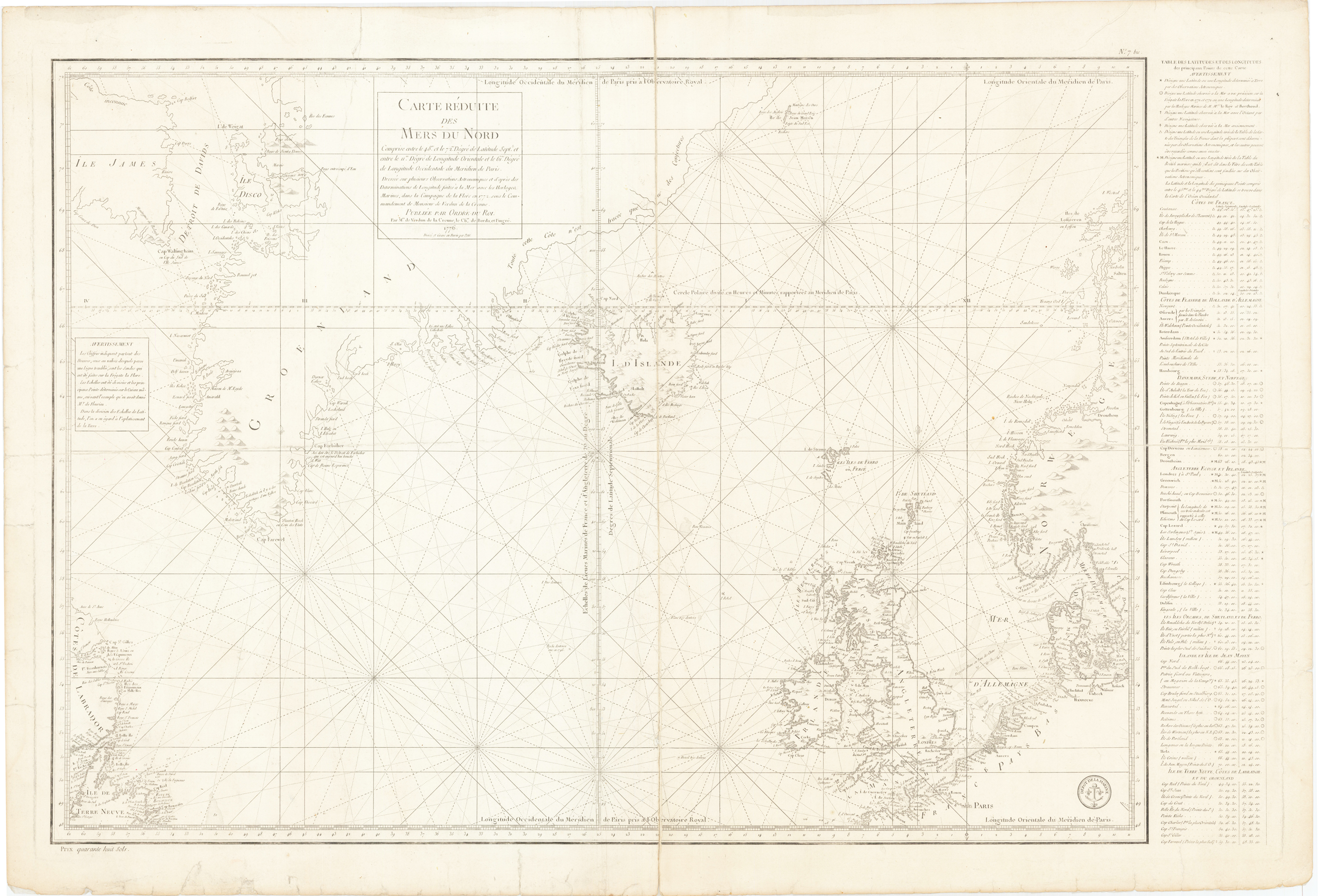
Original copper engraving, uncolored. A finely engraved chart extending from Newfoundland to the British Isles and Denmark and north to include Davids Straits, Greenland, Iceland and a part of Norway. Text along the right hand side lists location with their longitude and latitude and the chart uses a precise technique by which only those coastlines definitely known are fully shaded. Engraved by Petit and with the stamp of the Depot De La Marine.
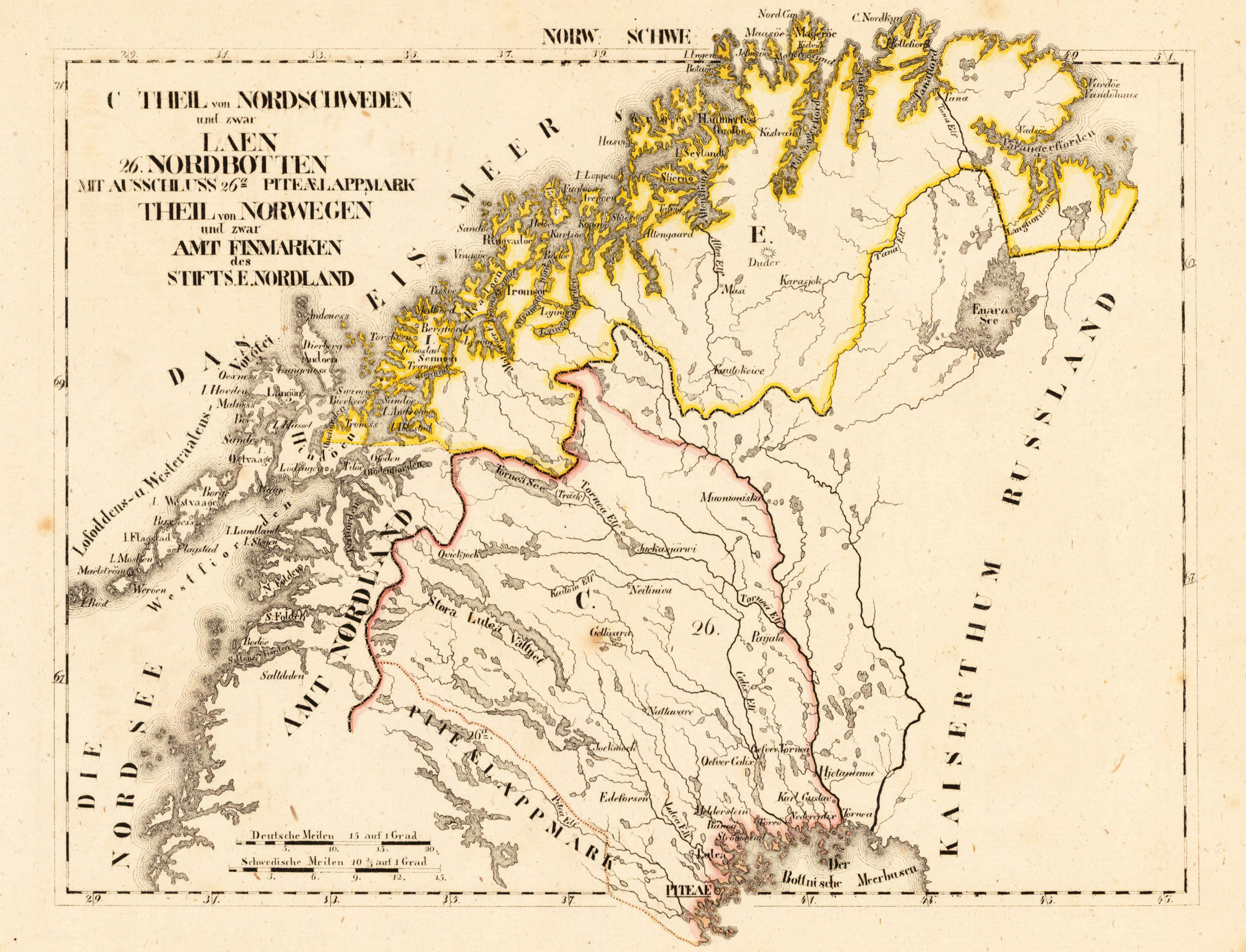
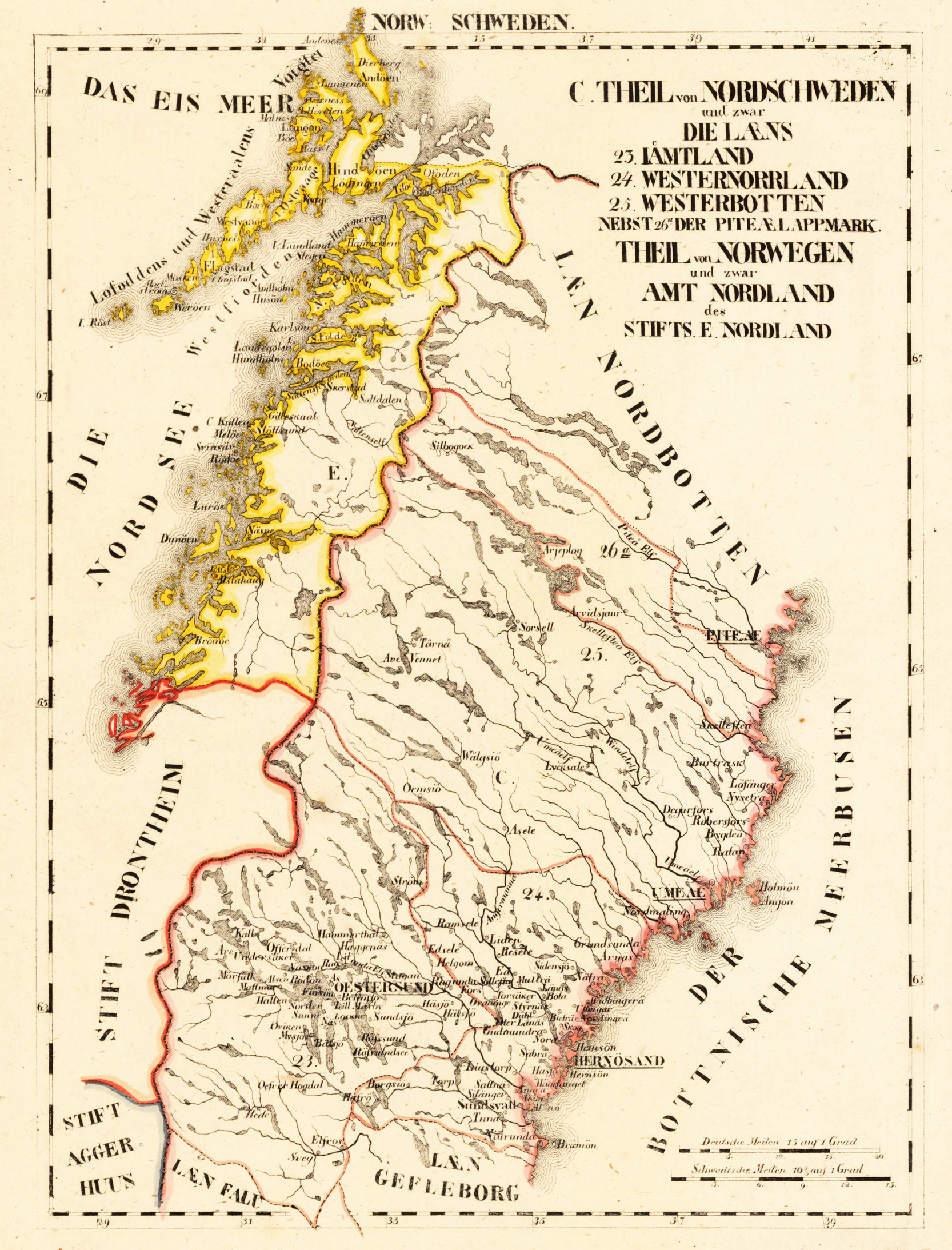
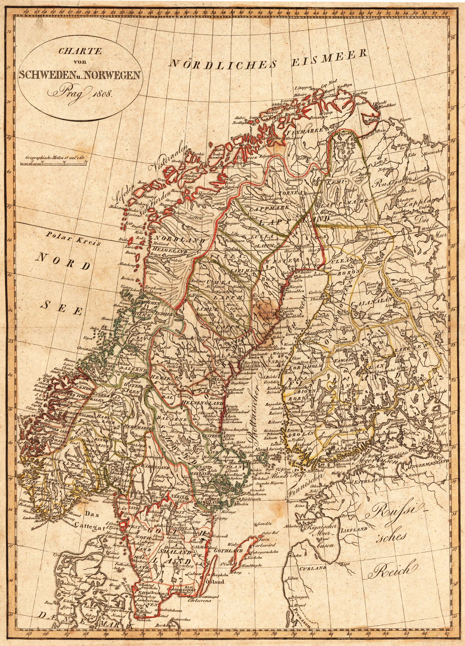
Original antique copper engraving, hand colored in outline and wash, when published. Die Landkarte zeigt Norwegen, Schweden, Finnmark, Lappland, Finnland, einen Teil von Dänemark und einen Teil vom Russischen Reich. Die ovale Kartusche ist oben links im Nördlichen Eismeer graviert. The map shows Norway, Sweden, Finnmark, Lapland, Finland, part of Denmark and part of the Russian Empire. The oval cartridge is engraved in the upper left of the Arctic Ocean. Tranquillo Maria Laurentio Mollo (August 10, 1767 - March 29, 1837) was Vienna based Swiss/Italian graphic designer, printer, art and music dealer, and publisher active in the late 18th and early 20th centuries. From about 1792 Mollo worked with the Vienna firm Artaria and Company. In 1798 he separated from Artaria to found, along with partner Franz Bernardini, his own music, art, and map publishing company, T. Mollo and Co. The partner collapsed after one year and Mollo took a new partner, Domenico Artaria, a scion of the Artaria family. In 1802 Mollo and Domenico acquired Artaria and Company from Carlo Artaria. Domenico and Mollo parted ways in 1804, after which Mollo published independently. Under his own imprint, he became one of Austria's most important globe and map publishers. He collaborated extensively with English and French publishers to bring French material to his work. Among his more significant collaborators was the Vienna publisher Joseph Dirwaldt. In 1832 Mollo passed the company to his sons, Eduard (1799-1842) and Florian Mollo (1803-1869). The Mollo brothers ran the business until 1839, three years after Tranquillo Mollo's death, before dividing the concern into separate business. Mollo married Dorothea Defelavis († 29. Juli 1822). (Wikipedia)
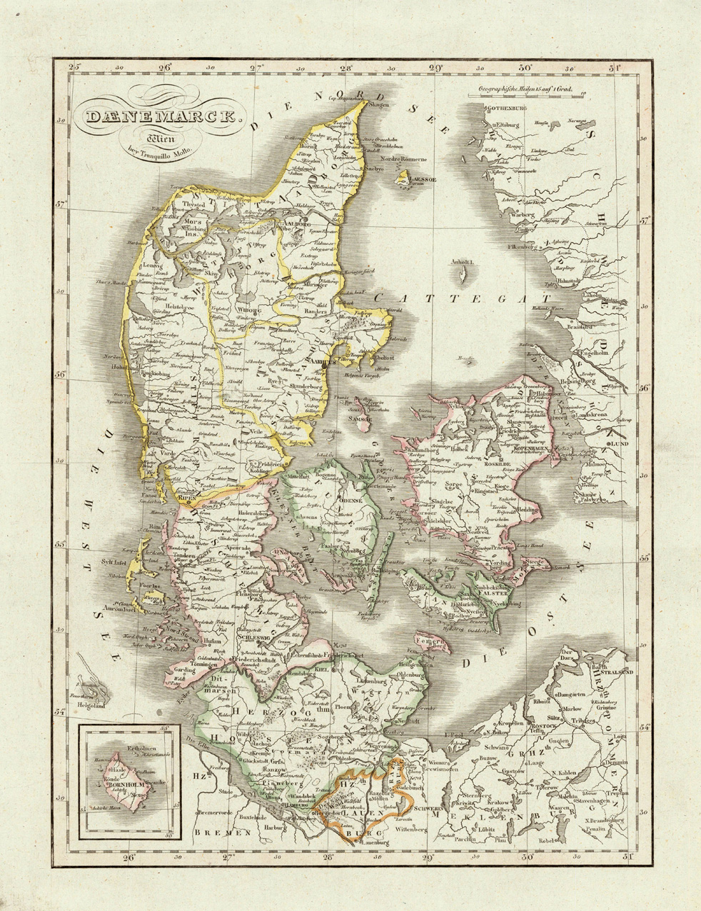
Original antique copper engraving, hand colored in outline and wash, when published. Denmark, Zeeland and its neighbouring regions are shown pretty accurate and divided up in political regions. The various countries are shown in outline color when published. Detailled map of this part of 'Northern Europe' with the Baltic Sea and the Cattegat. Ornated in the lower left corner with a inset map of Bornholm. Tranquillo Maria Laurentio Mollo (August 10, 1767 - March 29, 1837) was Vienna based Swiss/Italian graphic designer, printer, art and music dealer, and publisher active in the late 18th and early 20th centuries. From about 1792 Mollo worked with the Vienna firm Artaria and Company. In 1798 he separated from Artaria to found, along with partner Franz Bernardini, his own music, art, and map publishing company, T. Mollo and Co. The partner collapsed after one year and Mollo took a new partner, Domenico Artaria, a scion of the Artaria family. In 1802 Mollo and Domenico acquired Artaria and Company from Carlo Artaria. Domenico and Mollo parted ways in 1804, after which Mollo published independently. Under his own imprint, he became one of Austria's most important globe and map publishers. He collaborated extensively with English and French publishers to bring French material to his work. Among his more significant collaborators was the Vienna publisher Joseph Dirwaldt. In 1832 Mollo passed the company to his sons, Eduard (1799-1842) and Florian Mollo (1803-1869). The Mollo brothers ran the business until 1839, three years after Tranquillo Mollo's death, before dividing the concern into separate business. Mollo married Dorothea Defelavis († 29. Juli 1822). (Wikipedia)
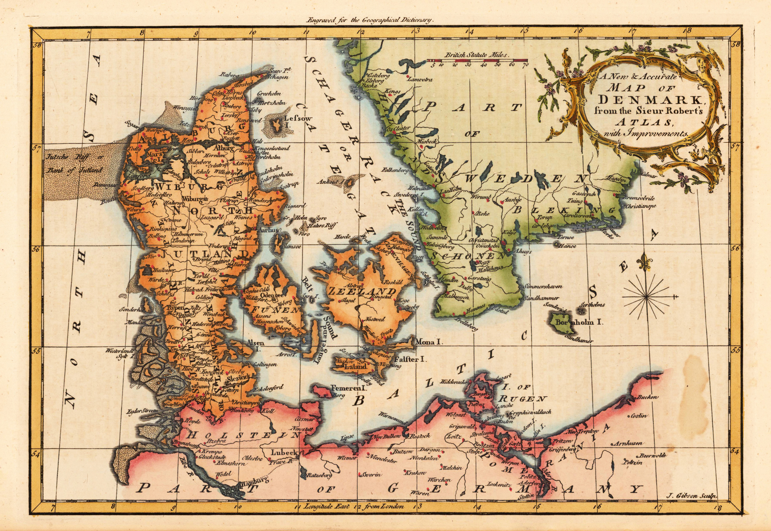
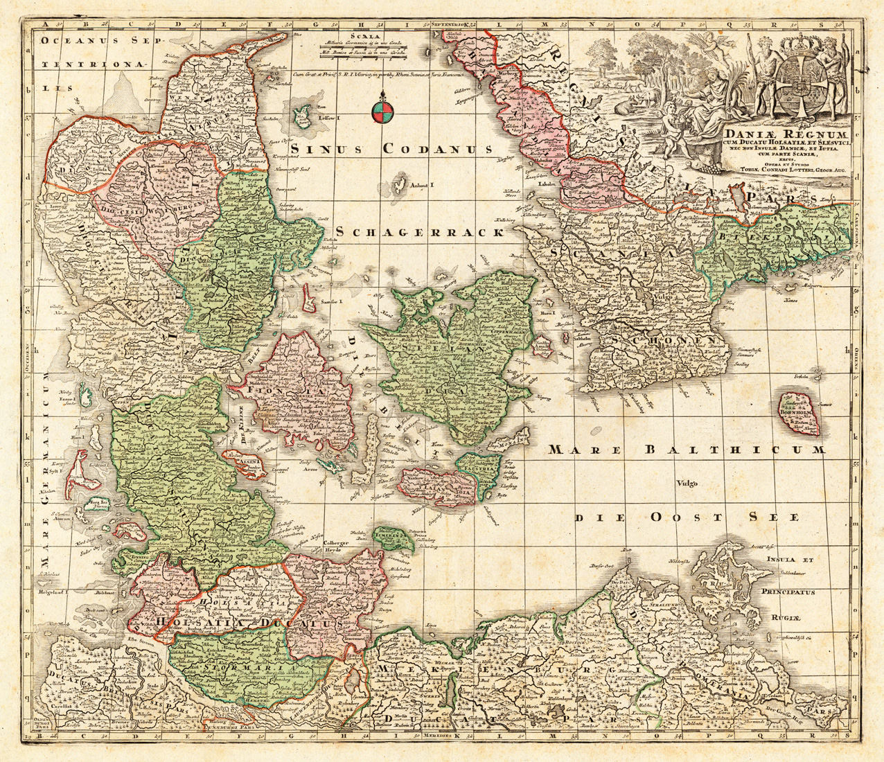
Copper engraving, decorative hand colored in outline and wash. Published in the printing house by Tobias Conrad Lotter after Matthäus Seutter. The map has here in addition to prior states of the map for cartographic reasons squaring in the map image. A good impression of this decorative map of Denmark with its neighboring countries, as well it shows the Baltic Sea, the Belt and the Schagerack. In the upper right corner the map is ornated with a large decorative allegoric title-cartouche, showing the Danish crown and the royal coat of arms.
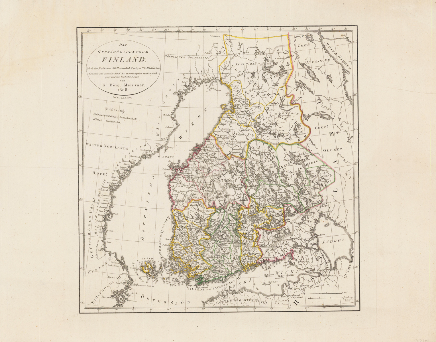
Copper engraving, hand colored in outline when published. Engraved by Carl Martin in Leipzig. An interesting old map of Finland after cartographic sources by S.C. Hermeling improved by C.P. Hällstöm. An interesting old map depicting solely Finland with its surrounding countries and the gulf of Finland. Finland itsself is divided up into its so-called castle-provinces. With many engraved place names, mountains, rivers, lakes and engraved names of provinces and regions throughout the country. An dekorative and interesting map of the beginng of the 19th century by published in Leipzig by Carl Martin.
Original copper engraving, hand colored in wash and outline, when published. The Austrian cartographer Franz Joh. Josef von Reilly published around 1789 in Vienna a large amount of very detailed district maps of Central Europe. These maps are famous for their large scales and the many details they provide. Even tiny place names can be found on those maps, rivers, mountains, streets, monasteries are as well engraved. The maps, which Franz J. Reilly engraved, were especially designed for the Austrian Royal house and show countries, provinces and districts belonging to the 'Austrian-Hungarian Empire'.
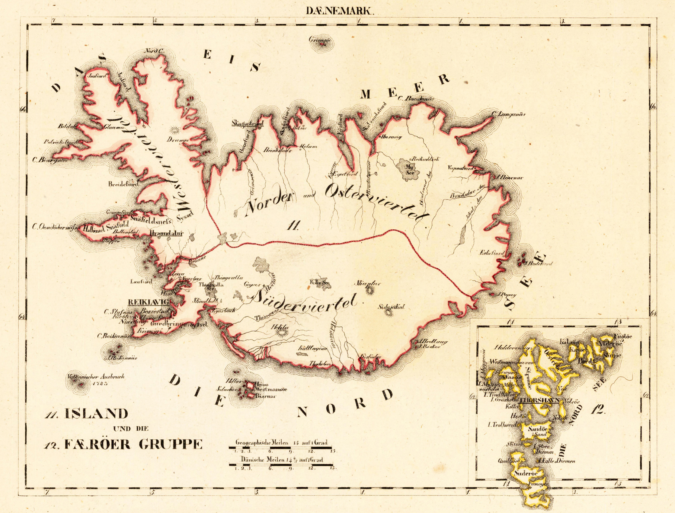
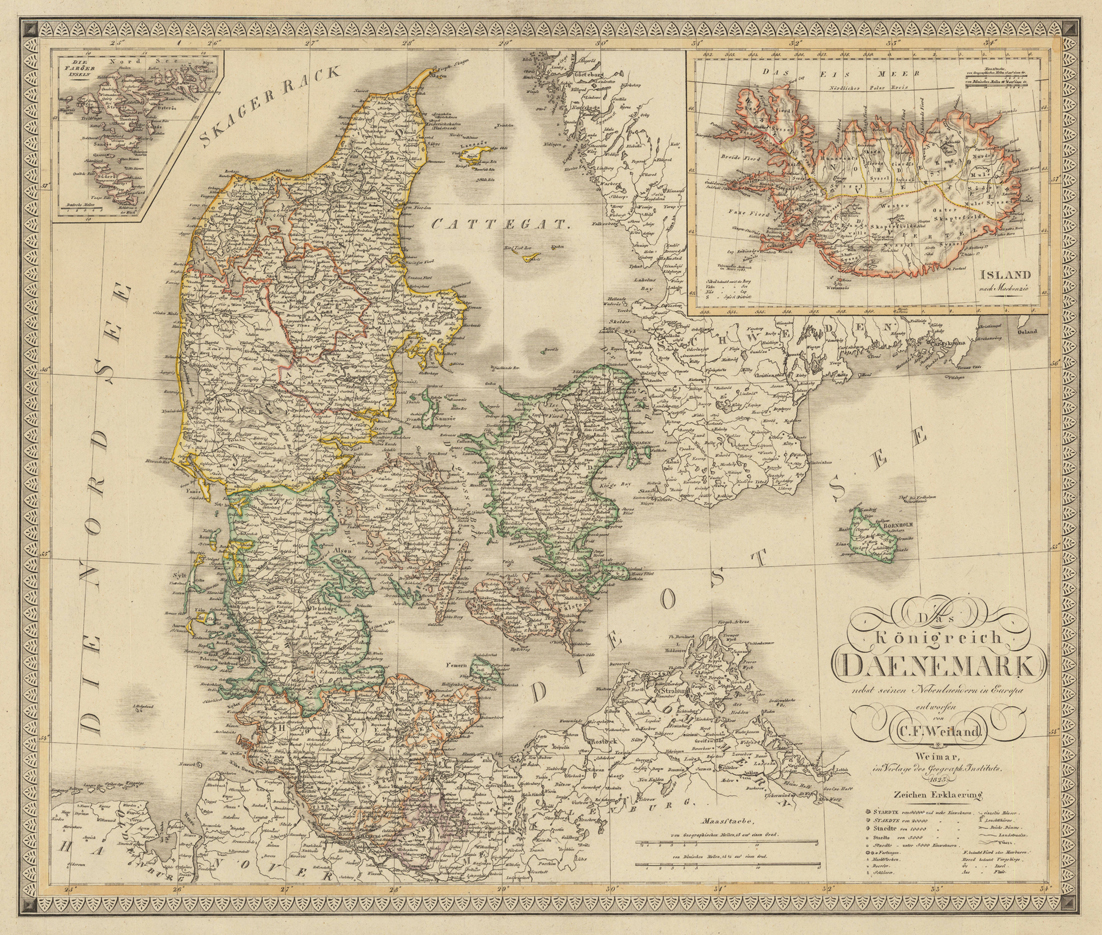
Copper engraving, hand colored in outline when published. The fine engraved map shows the Kingdom of Denmark and the southern part of Sweden. The lower part of the map shows the northern part of Germany and Pomerania. An beautiful inset map of Iceland is in the upper right corner. The decorative cartouche is placed at the lower right side, with a mileage scale next to it. In the upper left corner is an inset map of the Faroe Islands.
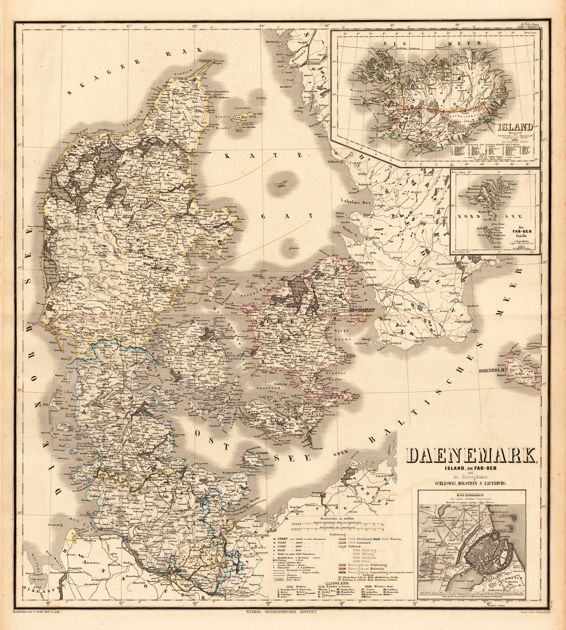
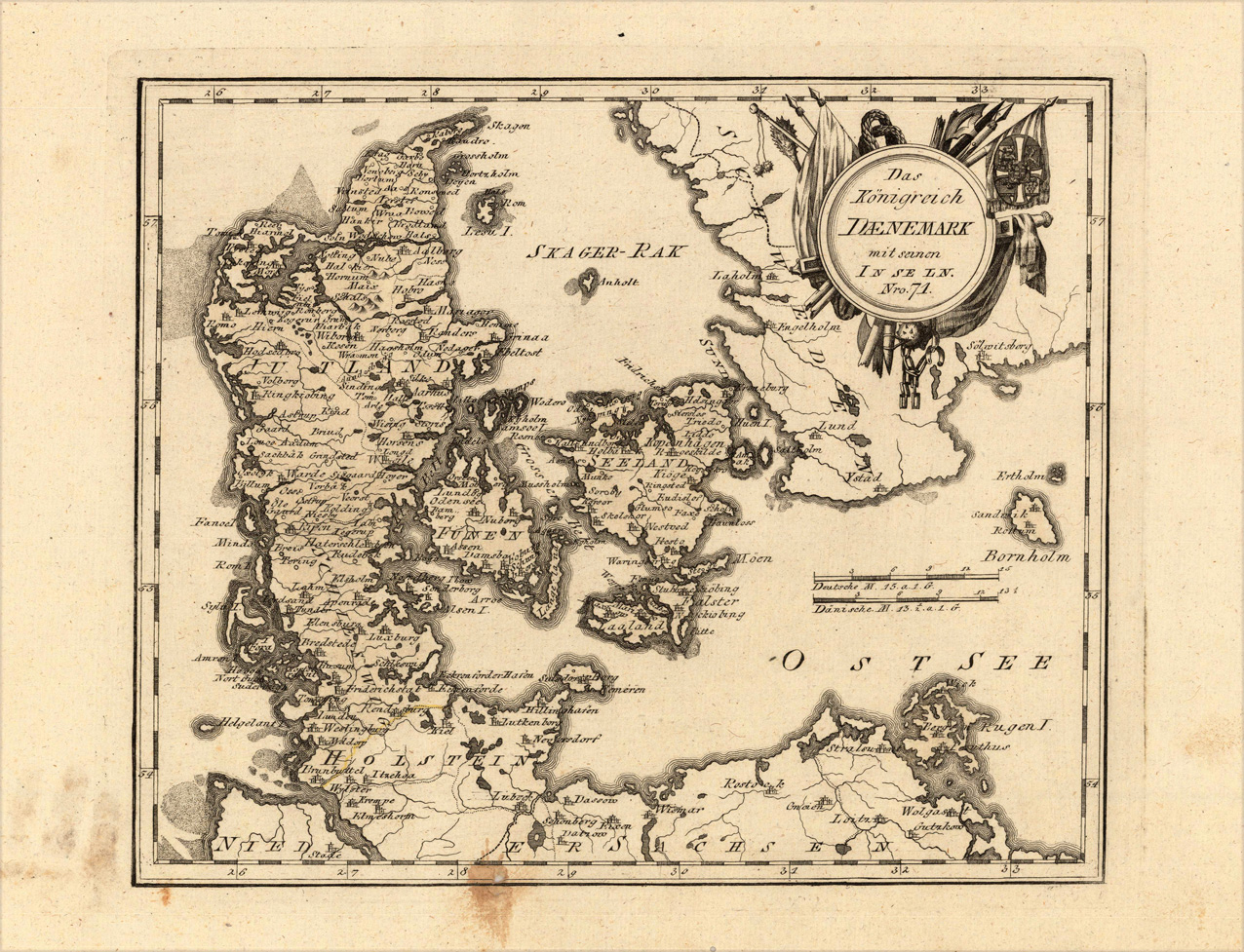
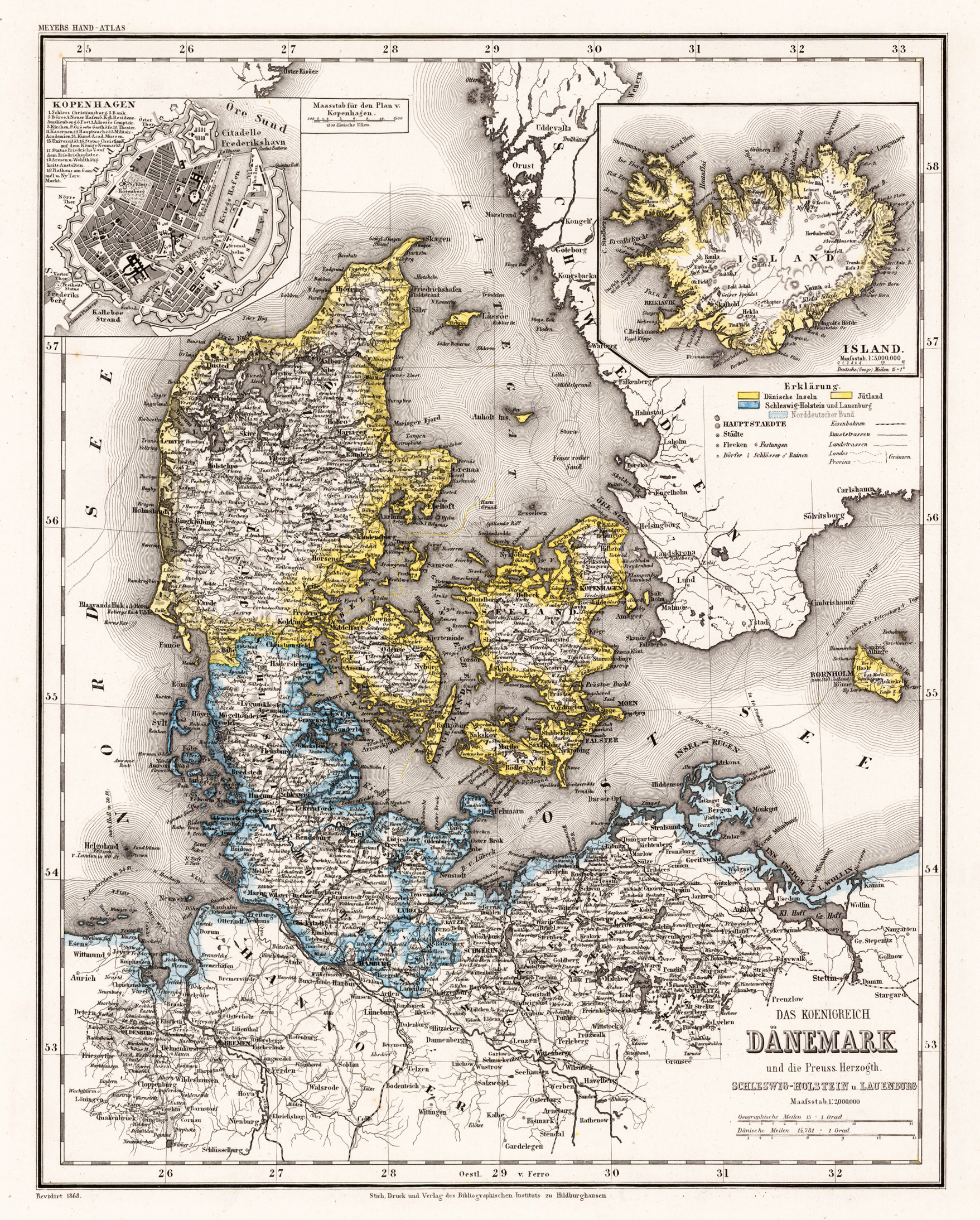
Steel engraving, handcolored in outline, when published. The decorative map of Denmark, Holstein and Lauenburg showing many place names, rivers, mountains, streets and railroads. The map is ornated with two inset plans of Island and Kopenhagen.
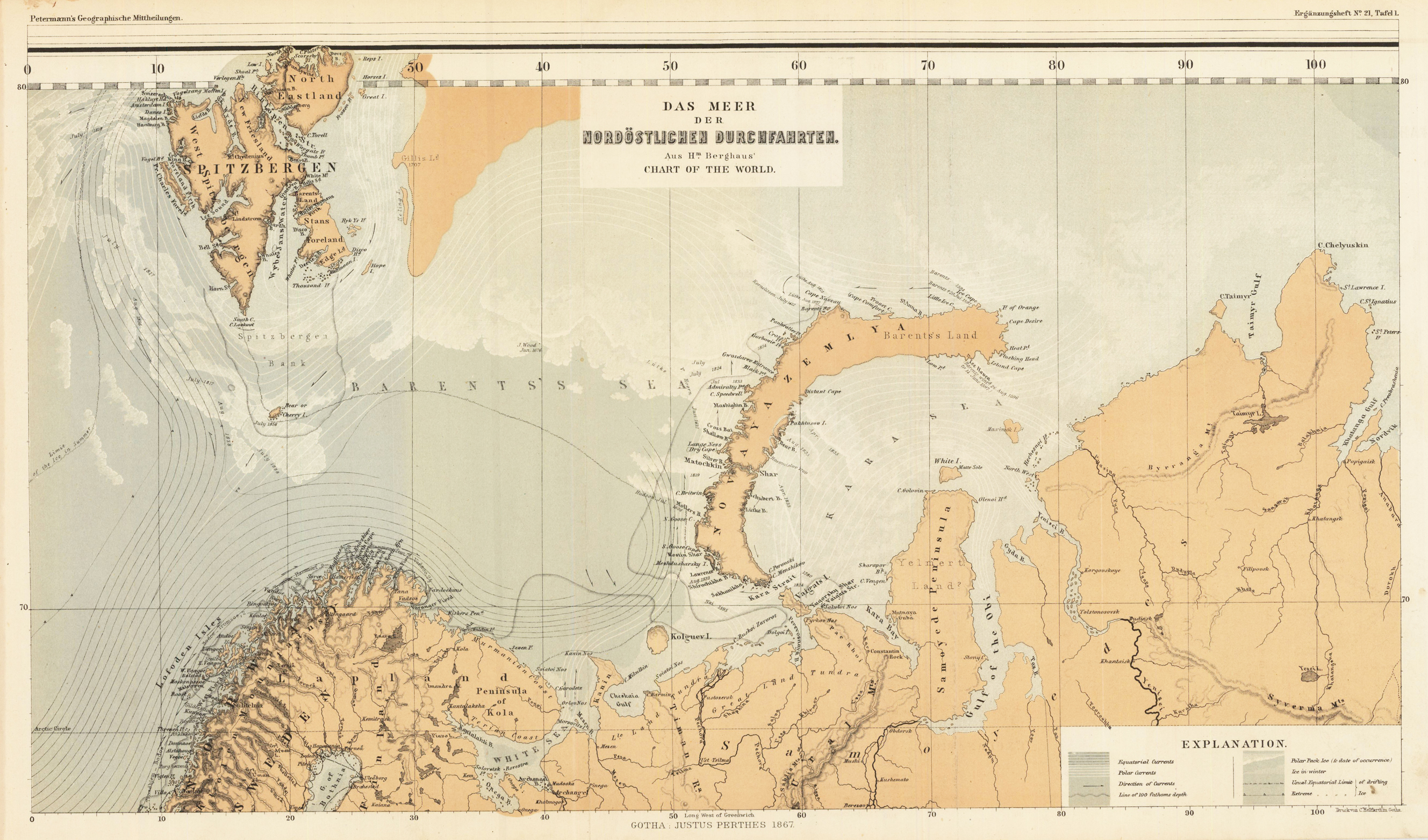
Lithograph, original color in outline and wash. August Heinrich Petermann (born April 18, 1822 in Bleicherode; † September 25, 1878 in Gotha (suicide)) was one of the most famous geographers and cartographers of the 19th century. August Petermann is considered an excellent, internationally highly respected cartographer. After his training in Potsdam he worked in Edinburgh with Alexander Keith Johnston with British scholars, navigators and explorers on the English edition of Berghaus' Physical Atlas. His maps of population density and the spread of cholera in England stand out from the London era, illustrating not only social aspects of infectious diseases in the early stages of their medical research. With them, Petermann joined the founding generation of thematic maps. With the maps for Petermanns Mitteilungen, such more topographical characters come to the fore. The publisher of the magazine benefited from innovations in card technology in Gotha: Bernhardt Perthes (1821–1857, grandson of the company founder) had developed an electro-chemical process for duplicating copperplate plates with electroplating, which drastically reduced the amount of work and time required allowed the production of map excerpts. Emil von Sydow had brought color lithography to production maturity in card manufacture, which also increased productivity and made it possible to use color on a broad scale for conveying information in cards. After more than a decade of practice, both card technologies had their teething problems and the combination of both techniques in card production behind them. With great organizational talent, Petermann turned this lead into a best seller. Since Petermann not only reconstructed the travel routes but also integrated them into maps, many authors saw this as a great advantage and turned to the communications for the purpose of implementation, which was usually done quickly and in an appealing quality. No magazine was published without a map insert, and 25 to 35 map inserts were published per year. The development effort for this was comparable to that for a school atlas. The synthetic approach in the presentation of the new discoveries sometimes brought hypothetical aspects with it, which led to annoyance or even controversy between the authors and the very self-confident editor. These maps were not only used for communications, they were also important sources for the three revised editions of Stieler's Hand-Atlas, in which Petermann played a decisive role. The redesign of the hand atlases is thanks to his influence. The scales were converted to the international metric system. In addition to the politico-geographical statements, physical-geographical statements such as the representation of deserts, periodically water-bearing rivers, numbers for sea depths, height numbers, names of peaks, etc. have been added to larger-scale additional maps for areas of high population density. With the growth of cities in the 19th century, the representation of places became more dense, and an objectified, leaner, but still legible font was developed for the increased names. In Hermann Berghaus and Carl Vogel (1828–1897), Petermann was assisted by outstanding cartographers, and Vogel in particular developed a significantly improved relief representation in hatches. The high content density and display quality repeatedly resulted in complaints about black copies. The development of the atlas maps in the division of labor between up to seven map processors, engravers, lithographers, printers and other workers required the development of a specific business organization. The changeover from the publishing system to the factory system, begun by publisher Bernhardt Perthes, also required Petermann's organizational talent after his early death. But experts at Gothaer Anstalt disagree with the view that Petermann had a managerial function. It cannot be overlooked that Petermann developed little sense for theoretical questions of cartography and he faced the upswing in the natural sciences of his time as an autodidact. (Wikipedia)
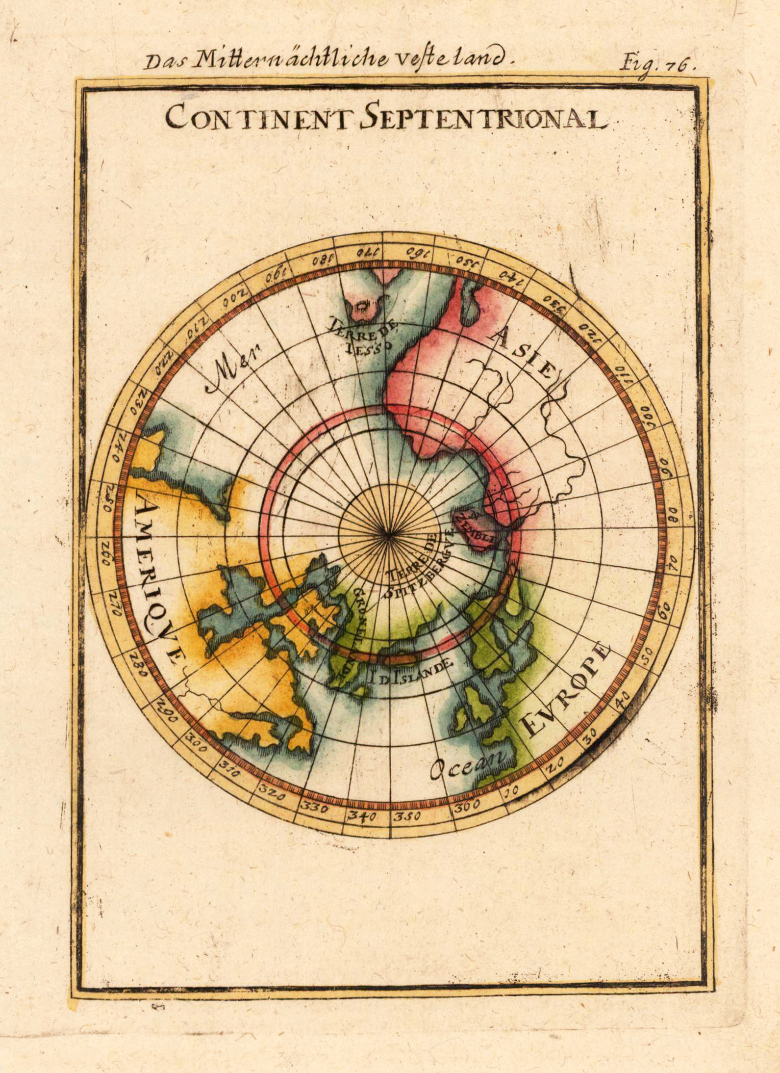
Copper engraving, hand colored in outline and wash. Small and decorative map showing the North Pol with Greenland and the neighboring continents America, Asia and Europe.
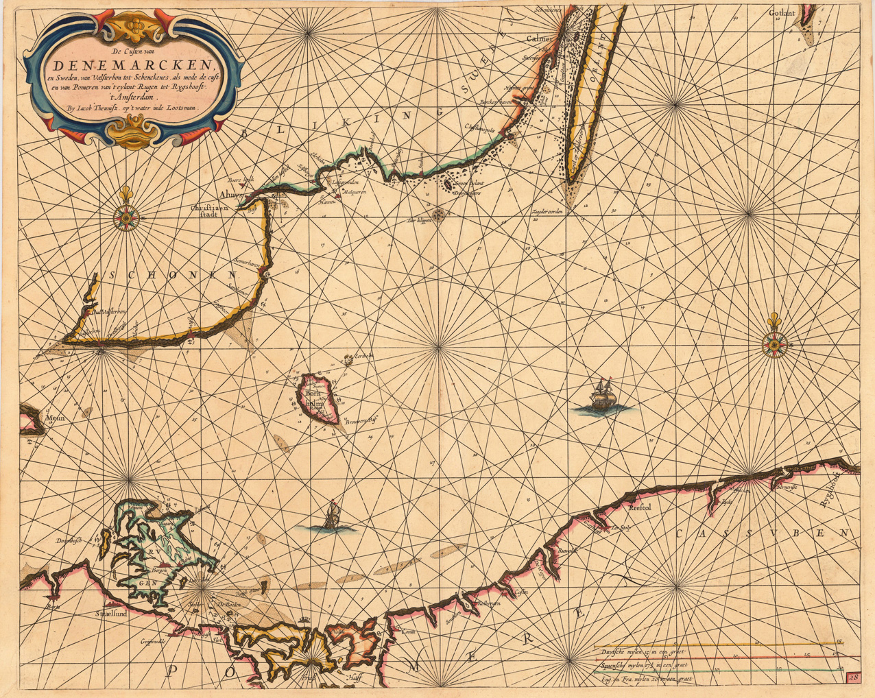
Detailled seachart of a part of the Baltic Sea with the Southern Swedish coast from Schoenen towards Calmer with the island of Oeland. As well the islands Meun, Bornholm, Rügen and the Southern tip of Gothland are shown. Below is the Pommeranian coastline from Stralsund towards Rygshooft, showing prominent the island of Rügen. The map is equipped with many details, names of towns and villages along the coastlines, anchor places, islands and sandbanks with marked depths. The map is ornated in the upper left corner with a large title-cartouche, one compass-rose and a ship. In the lower right corner we find a milage scale to convert Dutch, Spanish, English & French leagues to degrees.
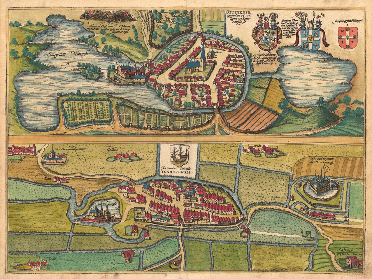
Original copper-engraving, hand colored in wash, published 1598 in volume V in the town book 'Civitates Orbis Terrarum' by Braun and Hogenberg. The entire series of the 'Civitates Orbis Terrarum' comprised six volumes and was published and printed from 1572 towards 1619. Decorative bird's eye views of the towns Ottense and Tondern. Ornated in the the upper right corner with coat of arms and descriptive text. Many details like fields, yards, houses, churches, etc. Further the bird´s eye view of Ottense is equipped with the scene of an old historical battle. This view was published 1598 in volume V of Braun and Hogenberg's 'Civitates Orbis Terrarum'. Georg Braun (also Brunus, Bruin; 1541 – 10 March 1622) was a topo-geographer. From 1572 to 1617 he edited the Civitates orbis terrarum, which contains 546 prospects, bird's-eye views and maps of cities from all around the world. He was the principal editor of the work, he acquired the tables, hired the artists, and wrote the texts. He died as an octogenarian in 1622, as the only survivor of the original team to witness the publication of volume VI in 1617. Braun was born and died in Cologne. His principal profession was as a Catholic cleric. However, he spent thirty-seven years as canon and dean at the church, St. Maria ad Gradus, in Cologne. His six-volume work was inspired by Sebastian Münster's Cosmographia. In form and layout it resembles the 1570 Theatrum orbis terrarum by Abraham Ortelius, as Ortelius was interested in a complementary companion for the Theatrum. The Braun publication set new standards in cartography for over 100 years. Frans Hogenberg (1535–1590, from Mechelen) created the tables for volumes I through IV, and Simon van den Neuwel created those for volumes V and VI. Other contributors were Joris Hoefnagel, Jacob Hoefnagel, cartographer Daniel Freese, and Heinrich Rantzau. Works by Jacob van Deventer, Sebastian Münster, and Johannes Stumpf were also used. Primarily European cities are depicted in the publication; however, Cairo Casablanca and Mexico City as well as Cuzco on one sheet are also included in volume I, whereas Tunis is featured in volume II. Frans Hogenberg (1535–1590) was a Flemish and German painter, engraver, and mapmaker. Hogenberg was born in Mechelen in Flanders as the son of Nicolaas Hogenberg. In 1568 he was banned from Antwerp by the Duke of Alva and travelled to London, where he stayed a few years before emigrating to Cologne. He is known for portraits and topographical views as well as historical allegories. He also produced scenes of contemporary historical events. Hogenberg died in Cologne. (Wikipedia)
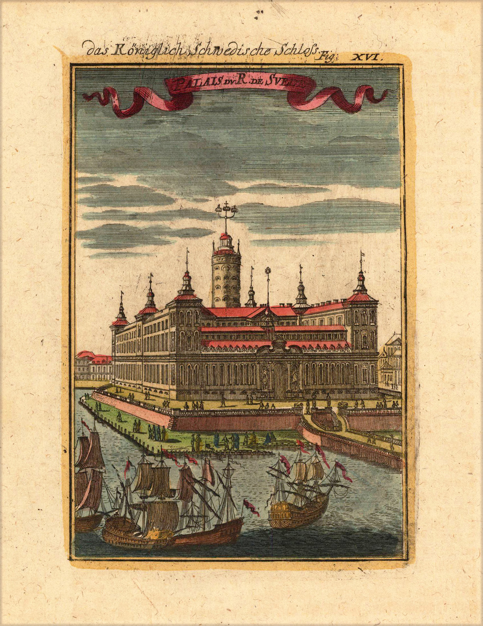
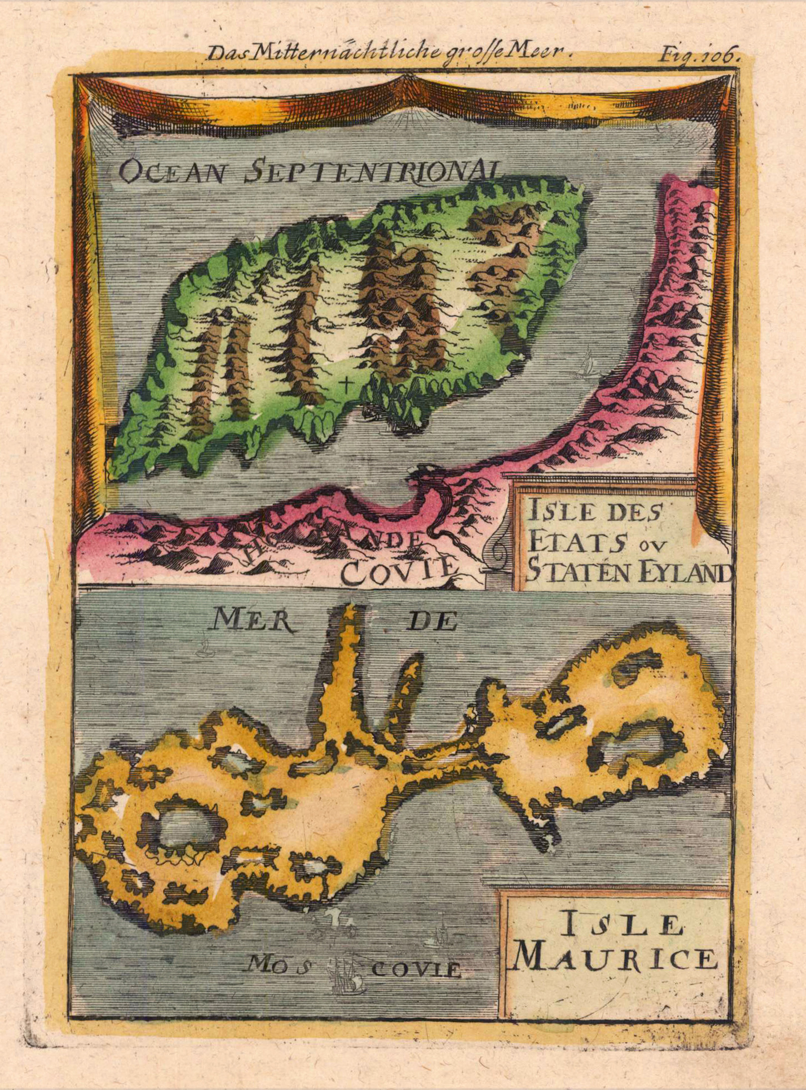
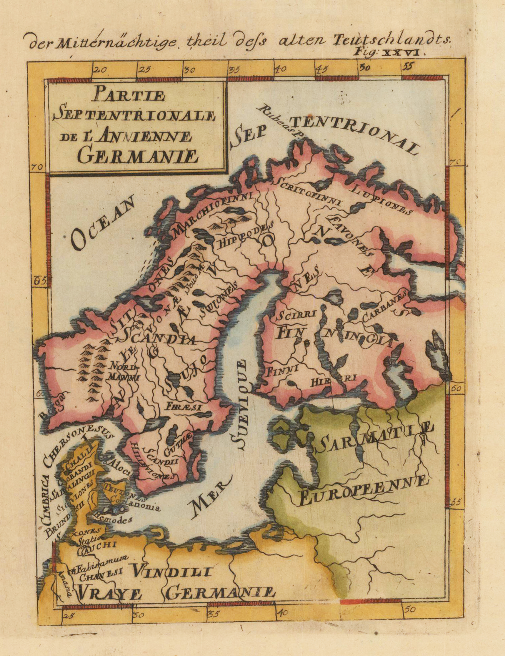
Copper engraving published in Allain M. Mallet's description of the world 'Description De L' Univers, Contenant Les Differents Systemes Du Monde, Les Cartes generales & particulieres ...'. French text edition with additional German titles on top.