
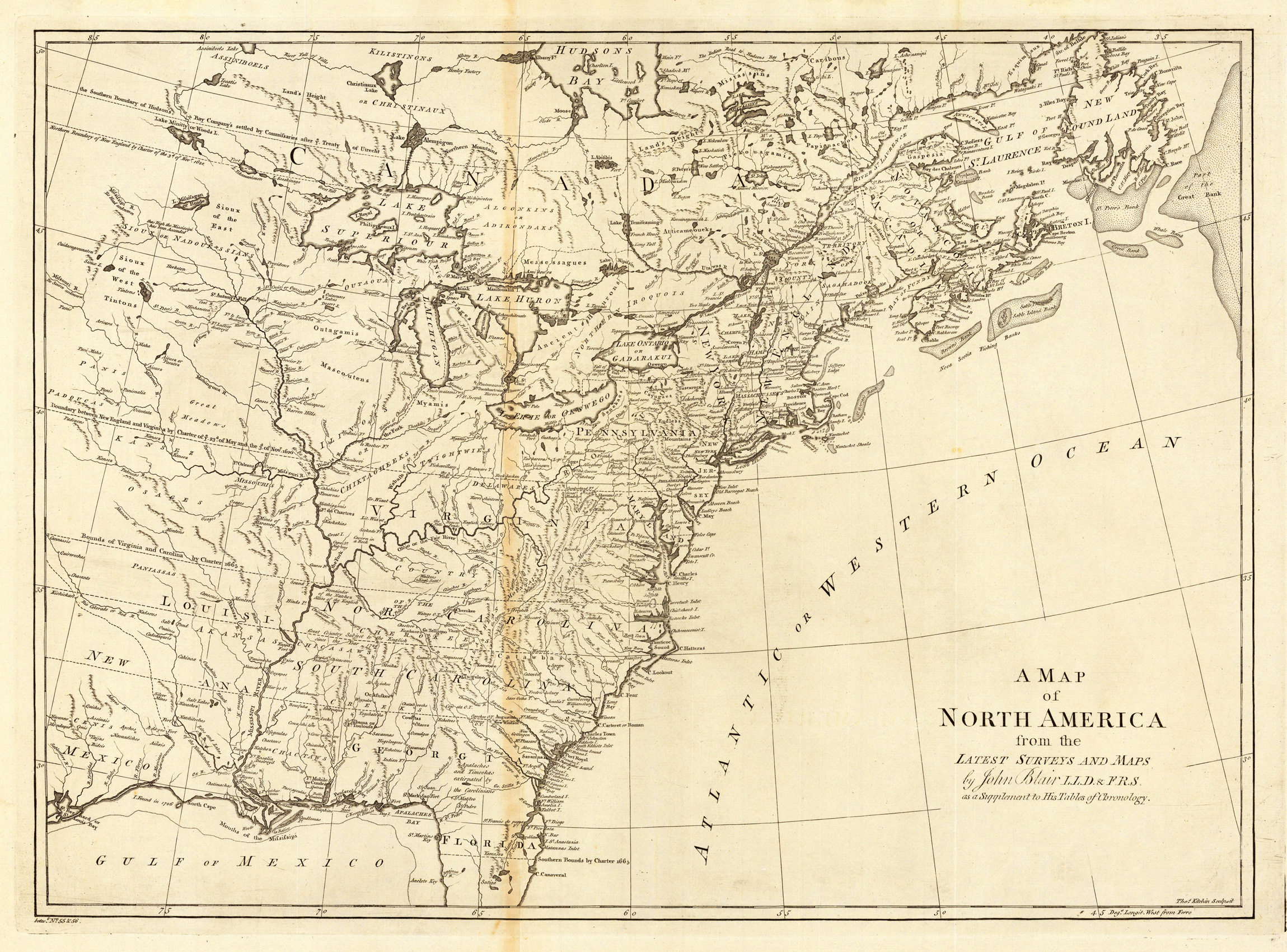
A map of North America from the Latest Surveys and Maps by John Blair LLD. & F.R.S. as a Supplement to His Tables of Chronology.
Product information: A map of North America from the Latest Surveys and Maps by John Blair LLD. & F.R.S. as a Supplement to His Tables of Chronology.
Copper-engraving, uncolored, engraved by Thomas Kitchin. Important map, showing the eastern North America, however excluding Florida and the northern Canada. Several Indian tribes and related informations are designated on the map. Four false islands are shown in lake Superior. The map is showing mainly the British North America east of the Mississippi. The southern colonies are extending as far as the Mississippi, their borders are stretching into the plains. The map is providing rich detailled information, the rivers are well designated, many names of towns are cities are shown on the map.
Properties
| Category: | North America |
|---|---|
| Issue date: | 1779. |
| Published place: | London |
| Publisher: | J. Blair |
| Technique: | Copper engraving / Uncolored |
| Type: | Antique Map, map |