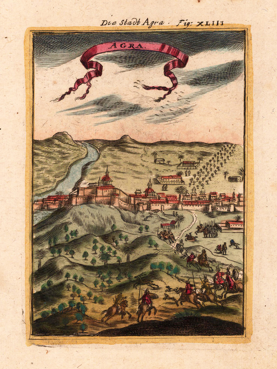
Copper-engraving, handcolored in wash and outline. Decorative city view showing the city of Agra in India, ornated in the foreground with a hunting scene.
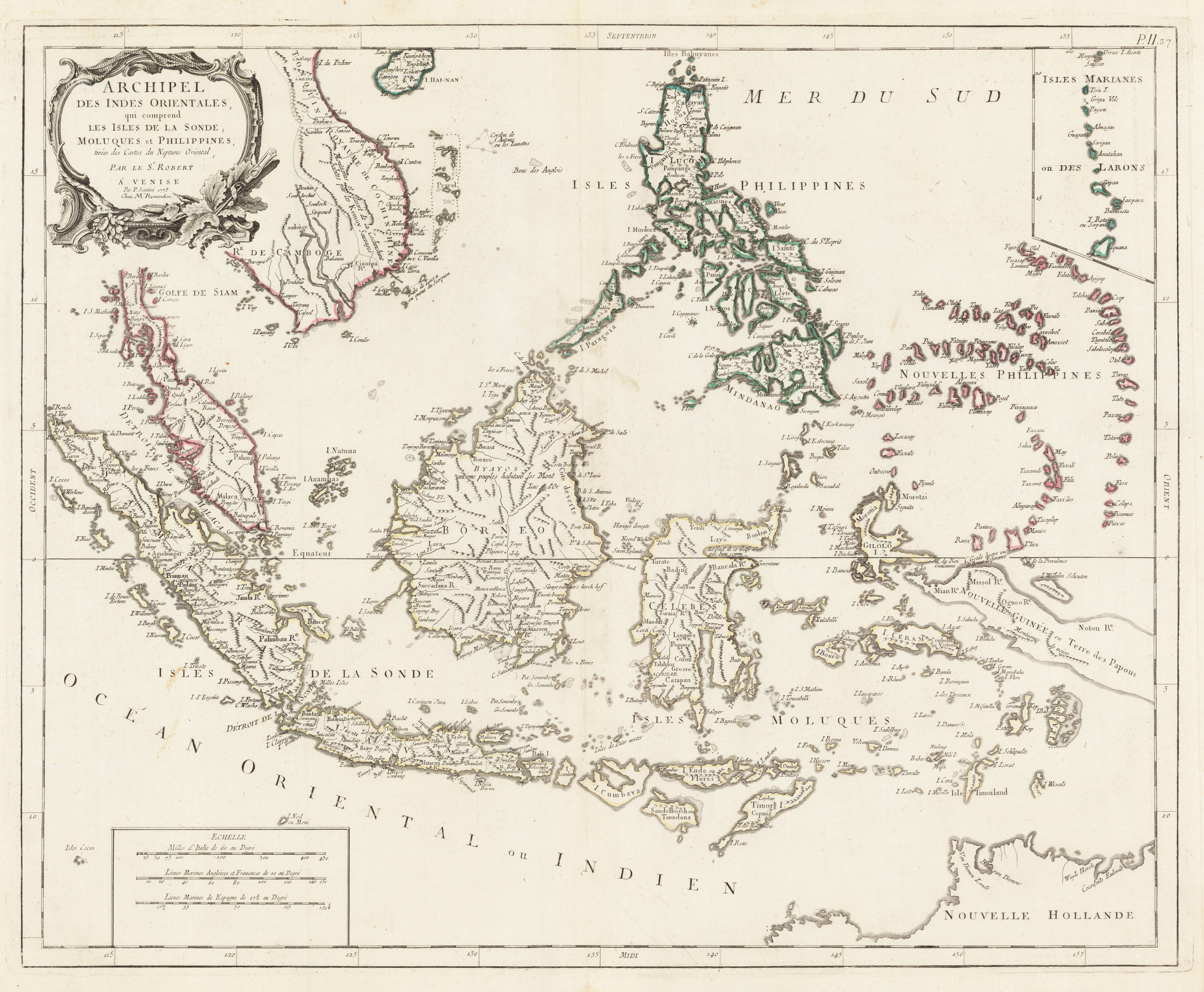
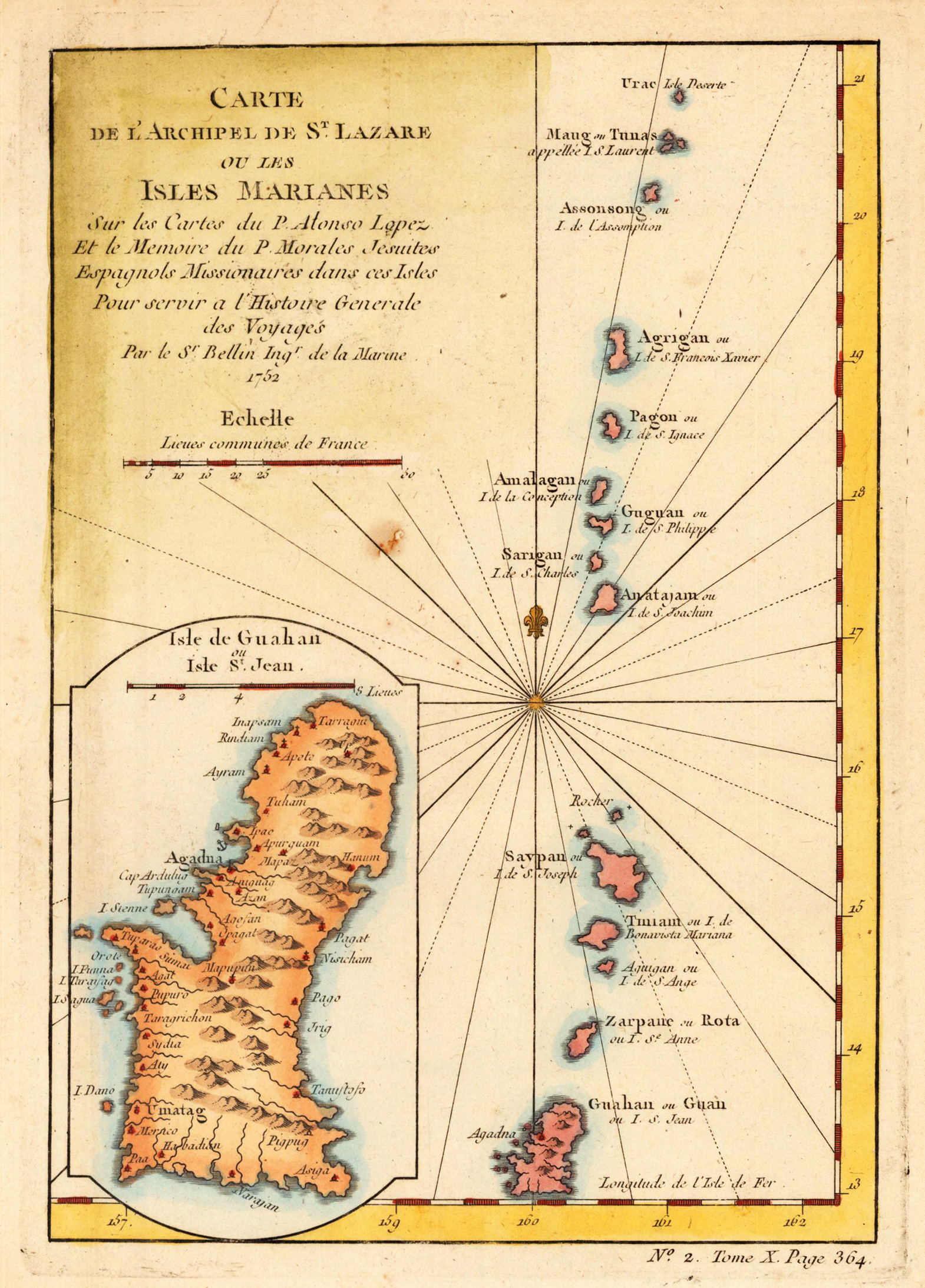
Copper engraving, hand colored in outline. Detailed map of the region from Sumatra and Malaca and Southern China to the Philippines, New Guinea and Northern Australia, centered on Borneo. Includes a inset of the Marianas.
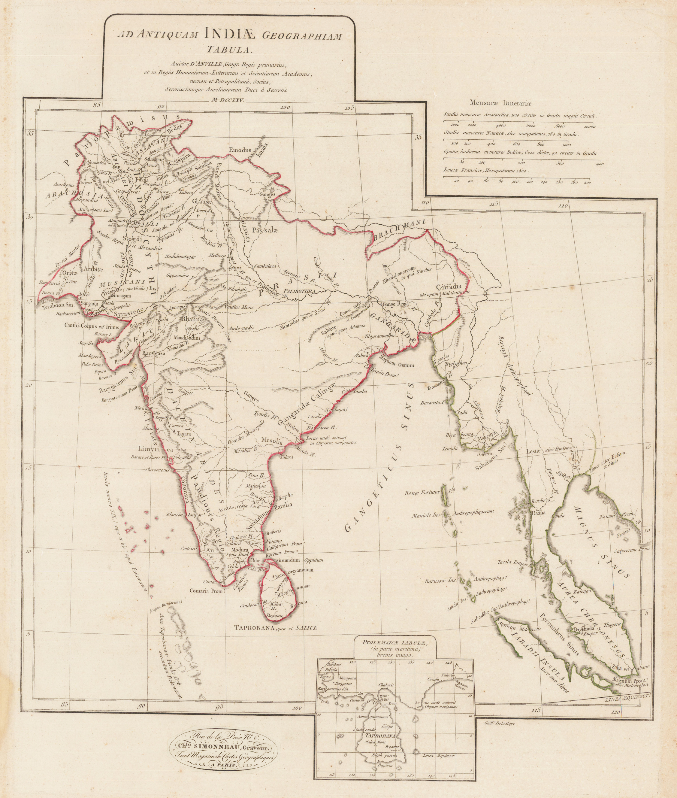
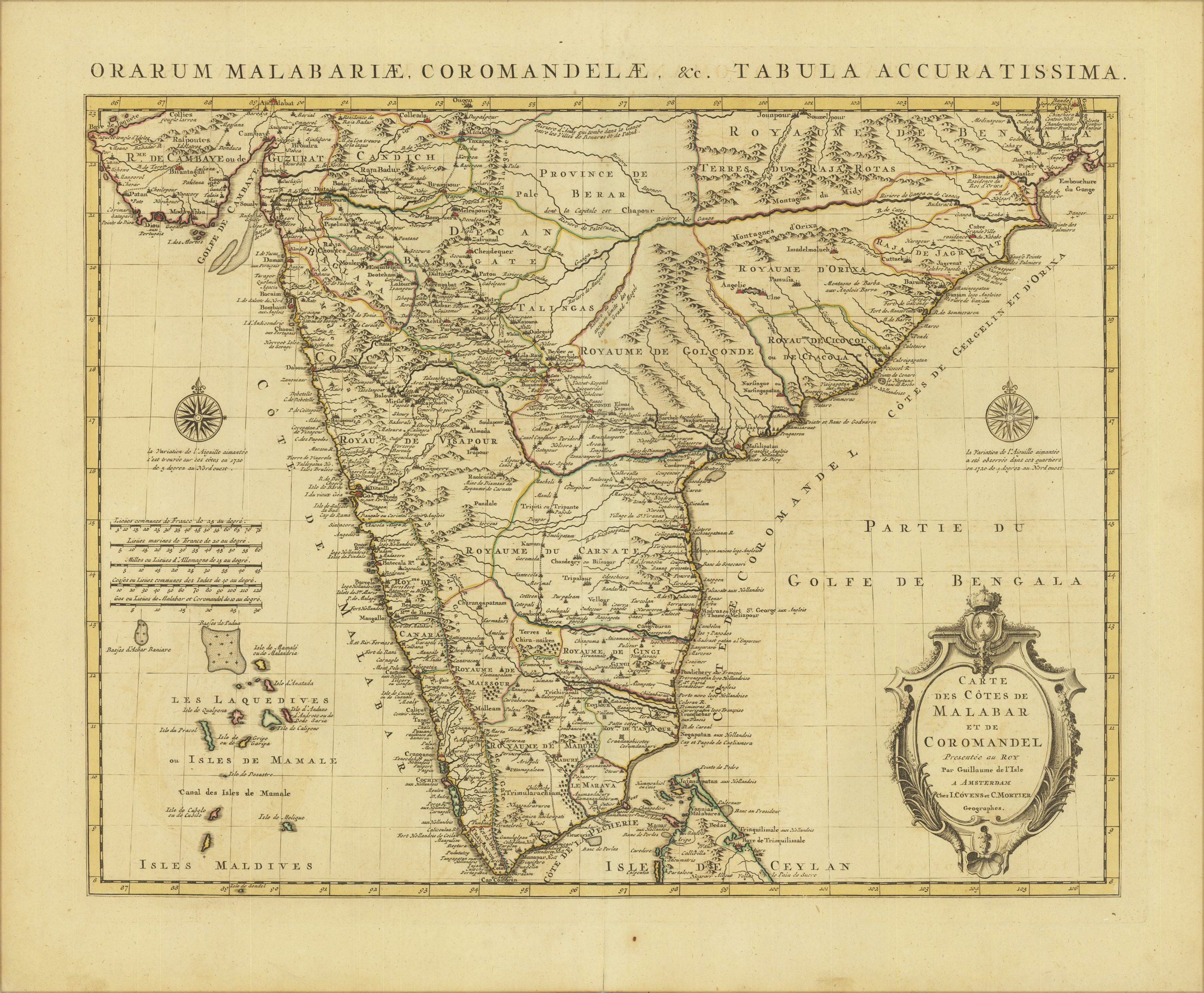
Original copper engraving, hand colored in outline and wash when published. Detailed map of India and environs, extends from the Straits of Hormuz to the Bengal Gulf.
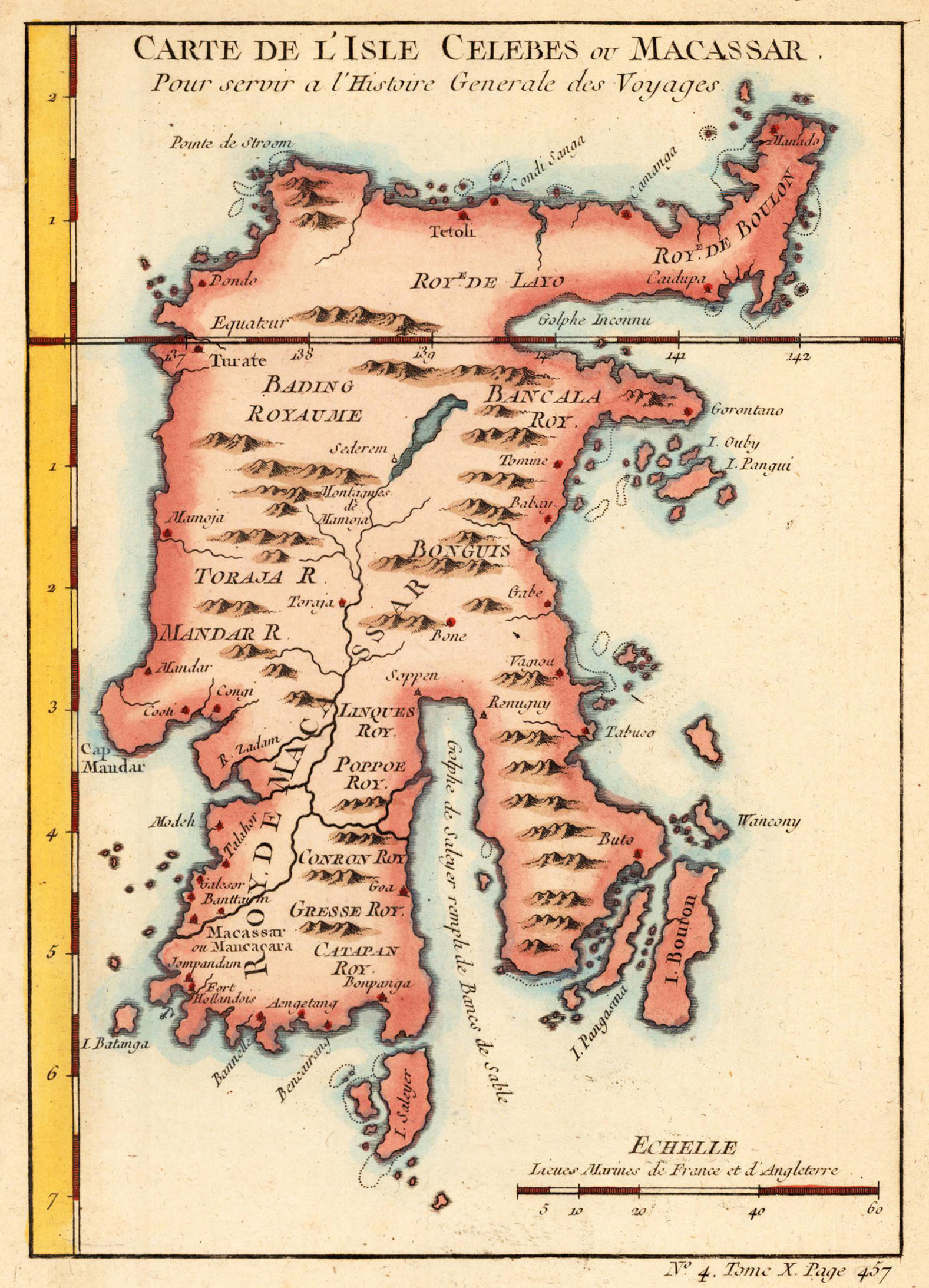
Copper engraving, hand colored. A small decorative map of the Island of Celebes with many engraved place names, rivers and mountains and small islands along the coast. The individual parts of Celebes are as well named and partly different colored. A detailled and interesting map engraved by Bellin after earlier voyages. Published in an atlas volume of Nicolaus Bellin's ,Histoire generale des Voyages' around 1760 in Paris.
Original copper engraving, hand colored in outline and wash when published. Fine example of the first state of De L'Isle's map of Sri Lanka. Very detailed map, including towns, provinces, rivers, mountains, bays, harbors, islands, etc.
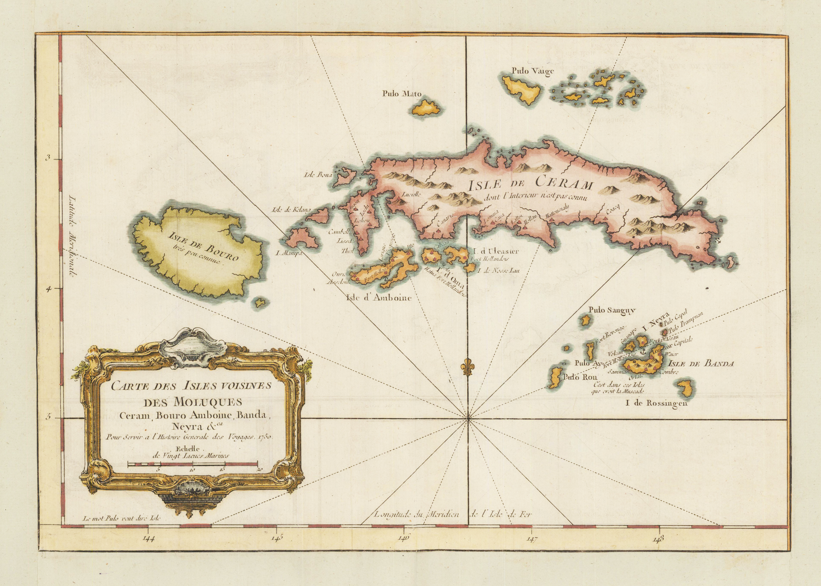
Copper engraving, hand colored in wash. An interesting and detailed map of the island of Ceram belonging to the Indonesian province Maluku. Ceram is the second largest archipel of the moluccan islands north of the Banda sea. A fine detailed and interesting map engraved by Bellin published in one of his atlases c. 1750-60 in Paris.
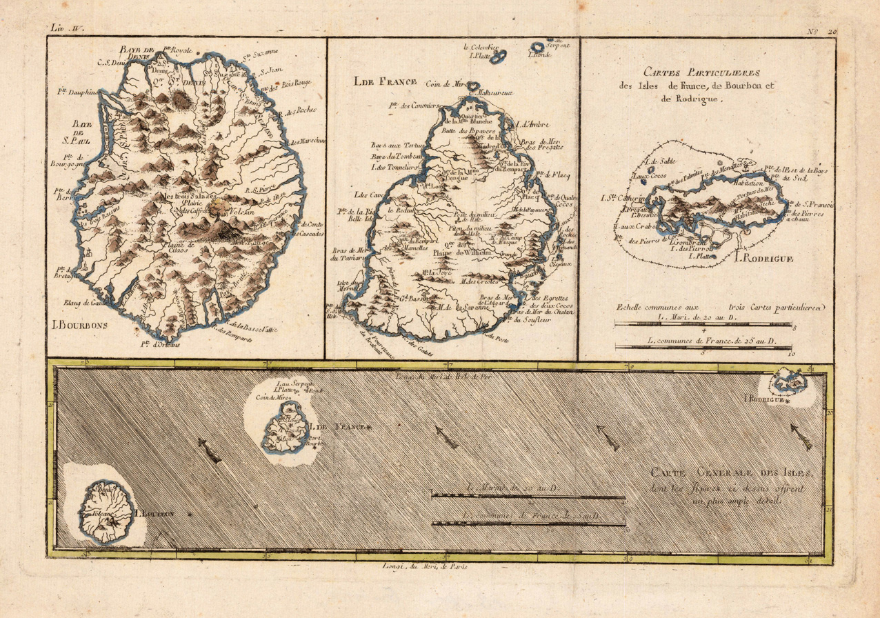
Original antique copper engraving, hand colored in outline. Interesting map showing the islands 'Isle Bourbon', 'Isle de France' and 'Isle de Rodrigue' in the Indian Ocean. Rigobert Bonne (6 October 1727 – 2 September 1794) was a French cartographer, widely considered to be one of the most important cartographers of the late 18th century. In 1773 Bonne succeeded Jacques Nicolas Bellin as Royal Cartographer to France in the office of the Hydrographer at the Depôt de la Marine. Working in his official capacity, Bonne compiled some of the most detailed and accurate maps of the period. Bonne's work represents an important step in the evolution of the cartographic ideology away from the decorative work of the 17th and early 18th century towards a more detail oriented and practical aesthetic. With regard to the rendering of terrain Bonne maps bear many stylistic similarities to those of his predecessor, Bellin. However, Bonne maps generally abandon such common 18th century decorative features such as hand coloring, elaborate decorative cartouches, and compass roses. While mostly focusing on coastal regions, the work of Bonne is highly regarded for its detail, historical importance, and overall aesthetic appeal. (Wikipedia)
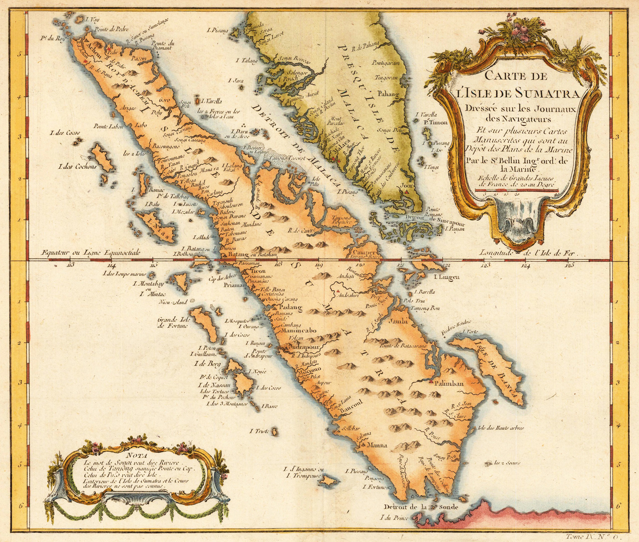
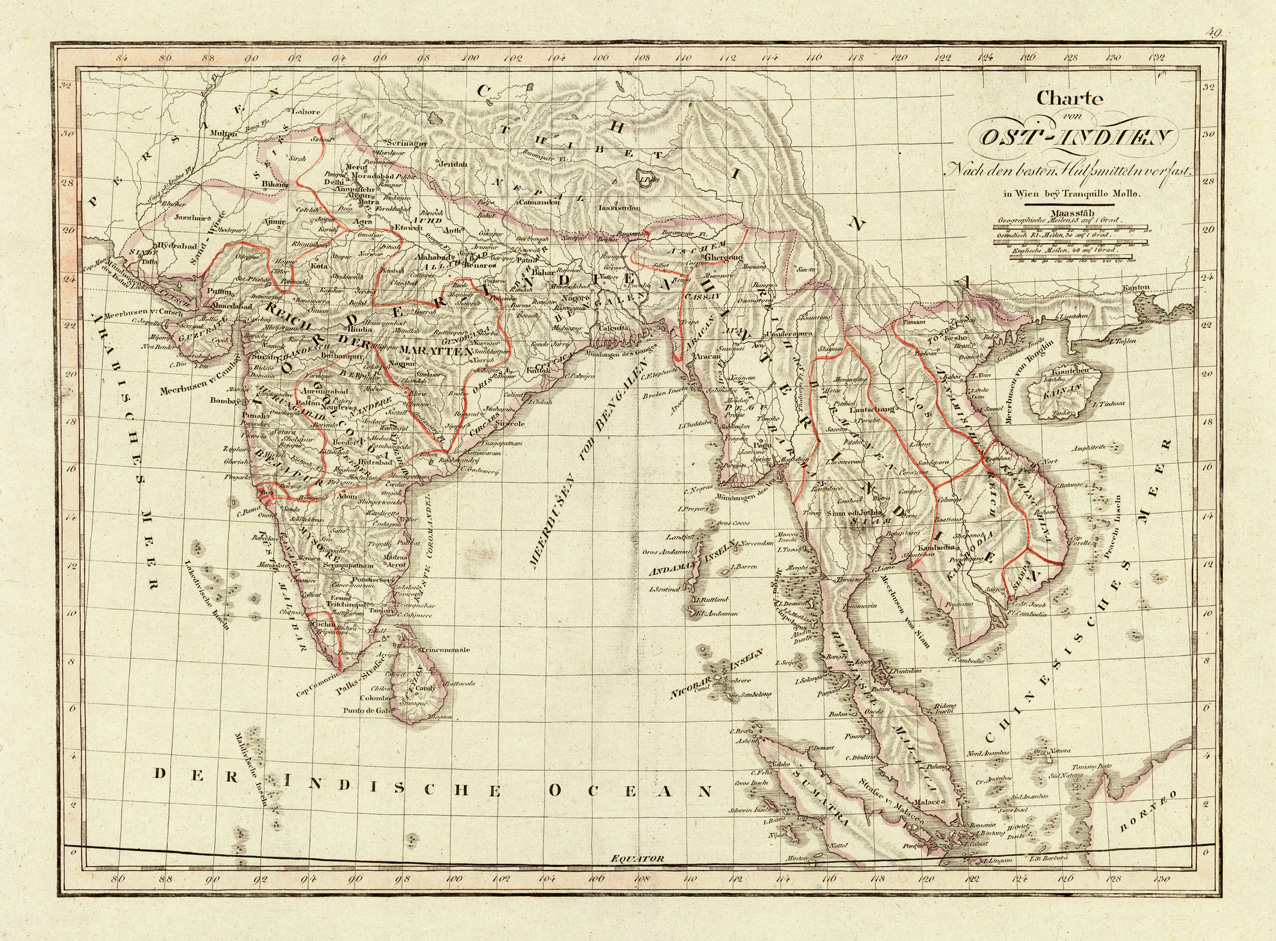
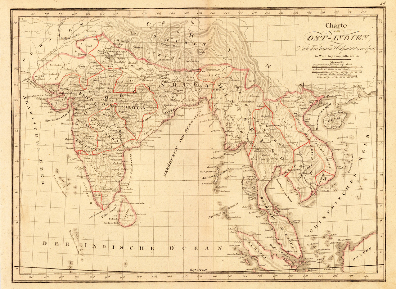
Copper engraving, in contemporary original color in outline. Southeast Asia and India are divided up in political regions. The various countries are shown in outline color when published. Detailled map of Southeast Asia with the Indian Ocean and the neighbouring Chinese Sea. With many engraved names of cities, villages and smaller places. A good map of Southeast Asia, engraved after the newest cartographic sources.
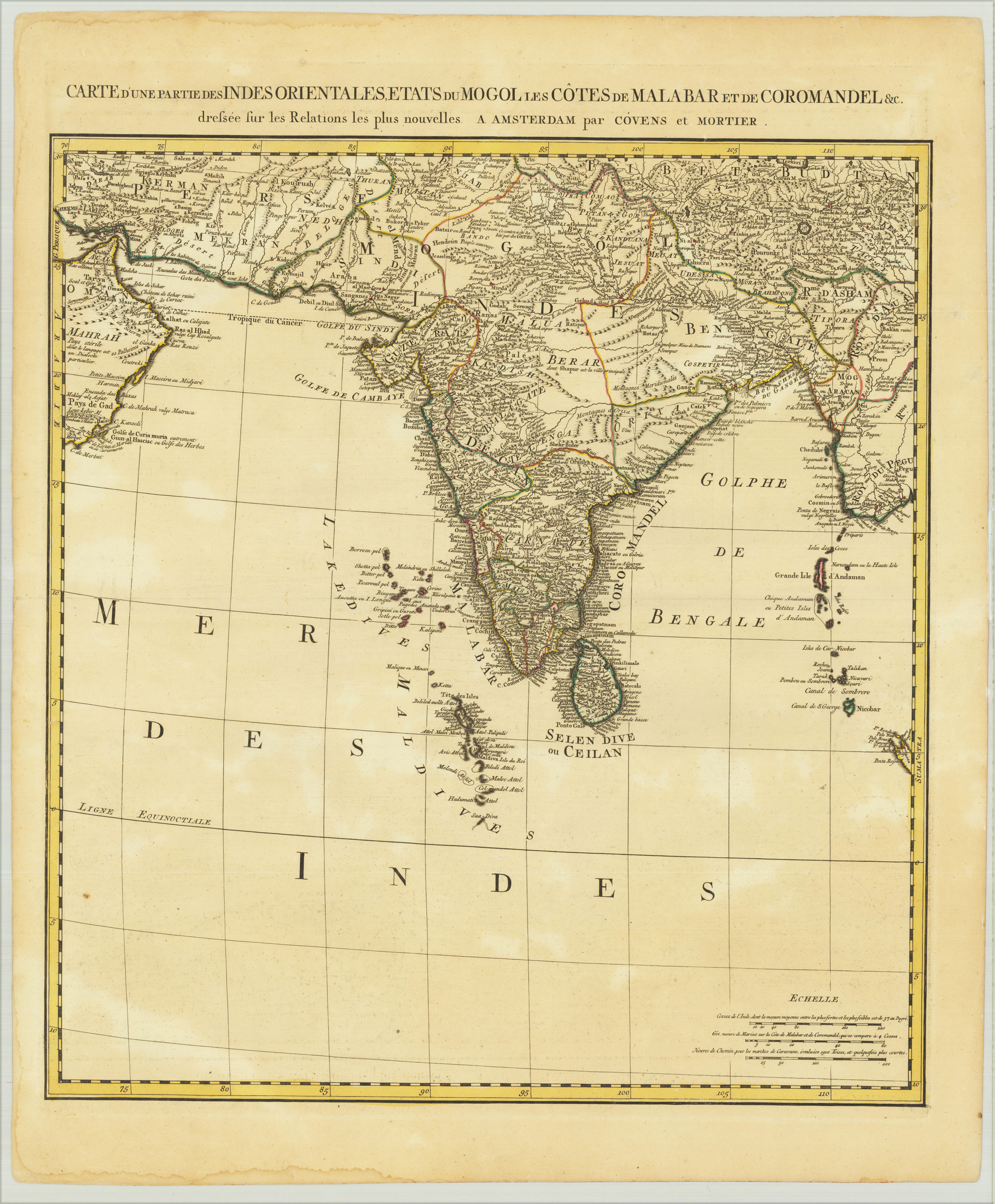
Copper engraving, in contemporary original color in outline. Southeast Asia and India are divided up in political regions. The various countries are shown in outline color when published. Detailed map of India with the Indian Ocean and the neighbouring Thailand (Siam) with the Andaman and Nicobar Islands. With many engraved names of cities, villages and smaller places. A good map of Southeast Asia, engraved after the newest cartographic sources.
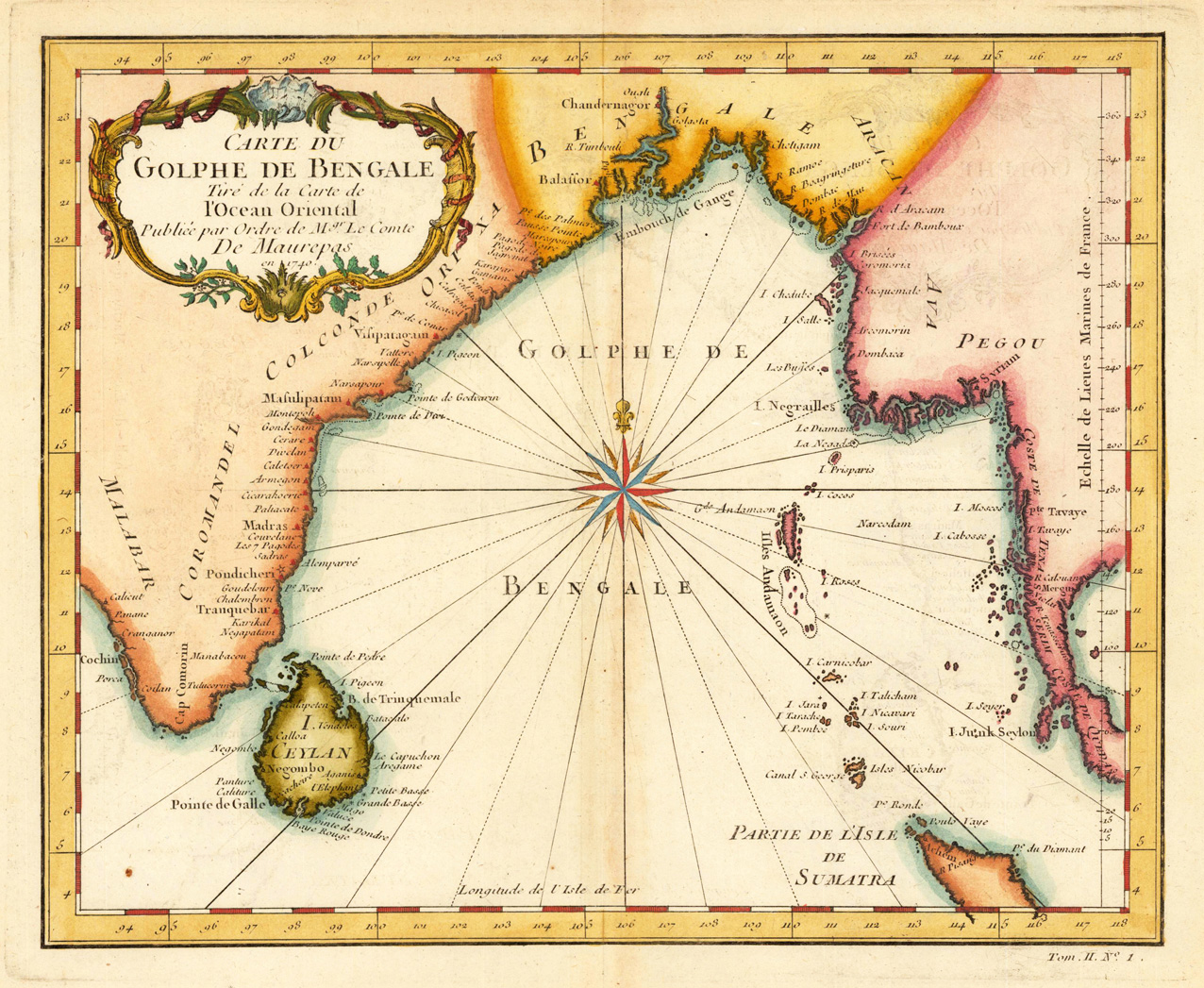
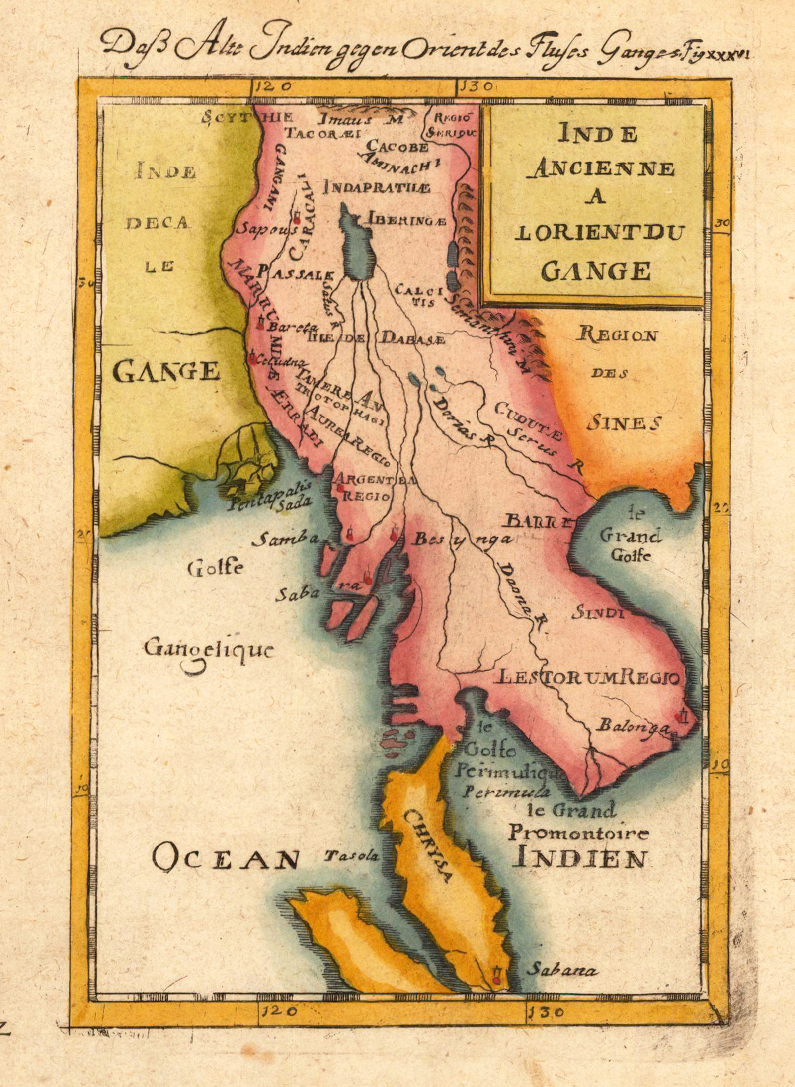
Copper engraving, hand colored in wash and outline. Decorative engraved map showing the mouth of the river Ganges with its eastern neighbouring countries Burma and Thailand.
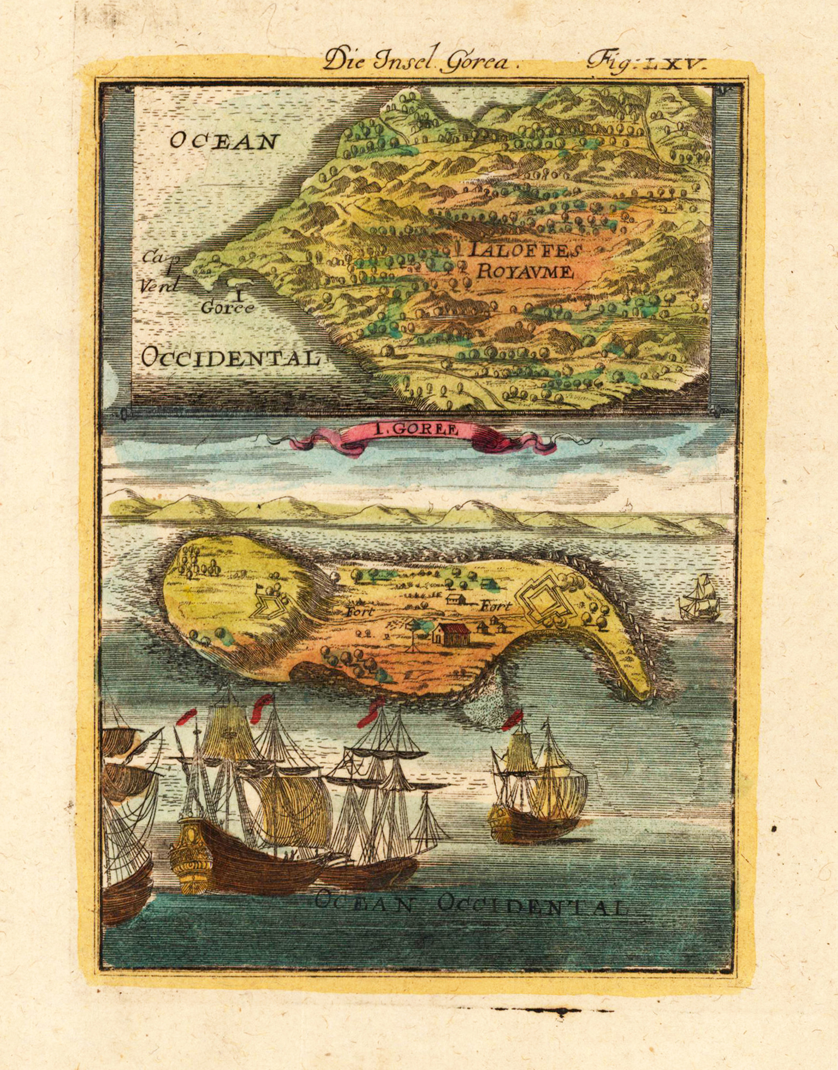
Copper engraving, hand colored in wash and outline, published in Allain Manesson Mallet's description of the world. Decorative scene of the island Gorea (Gorée) in Senegambia at the Westafrican coast.
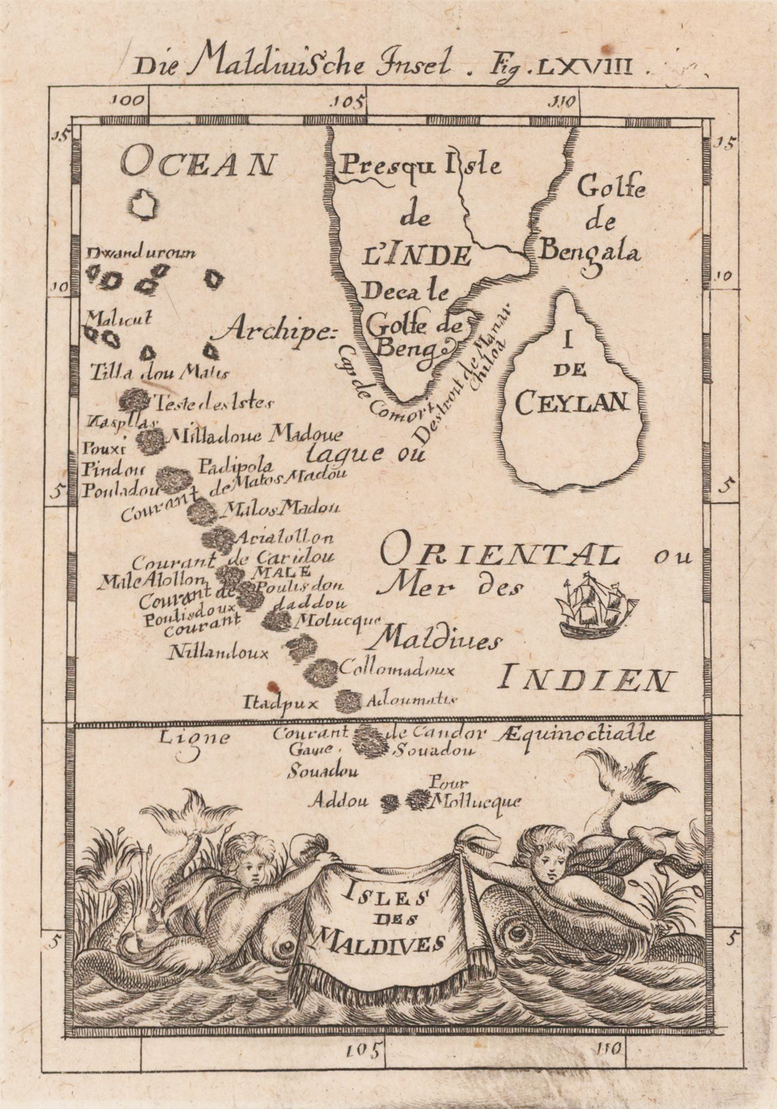
Copper engraving, uncolored, published in Allain M. Mallet's description of the world. Decorative map of the Maldive islands with the neighbouring southern tip of India and Sri Lanka. The Maldives are pretty accurate shown and all of them are named on the map. An interesting map for a map collector. Decorative ornated with two creatures in the sea.
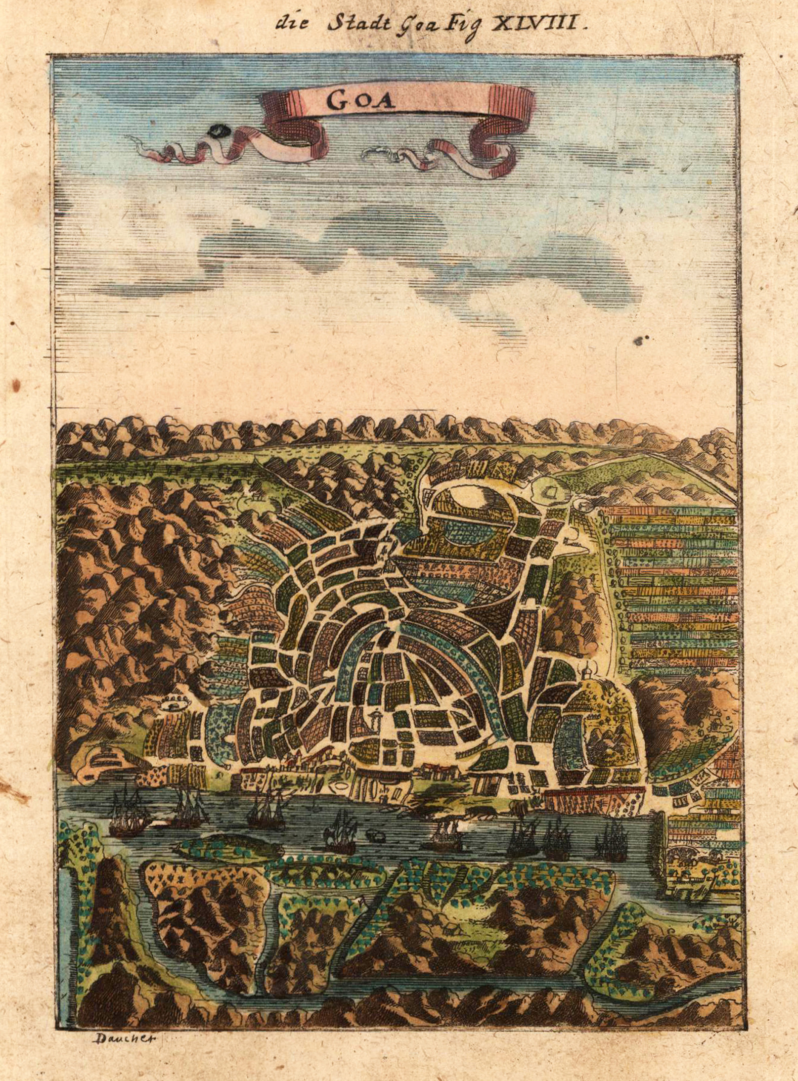
Copper-engraving, handcolored in wash and outline, published in Allain M. Mallet s description of the world. Decorative bird's eye view of the city of Goa in India.
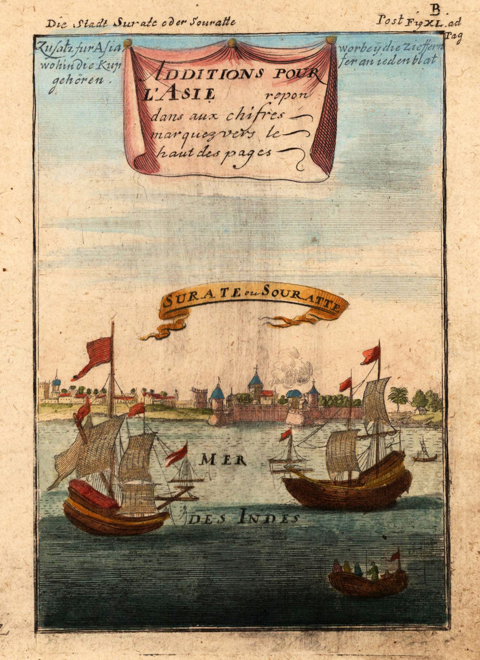
Copper-engraving, handcolored in wash and outline. Decorative city view of Surat (the Mughal s chief port) from the sea with two ships in the foreground.