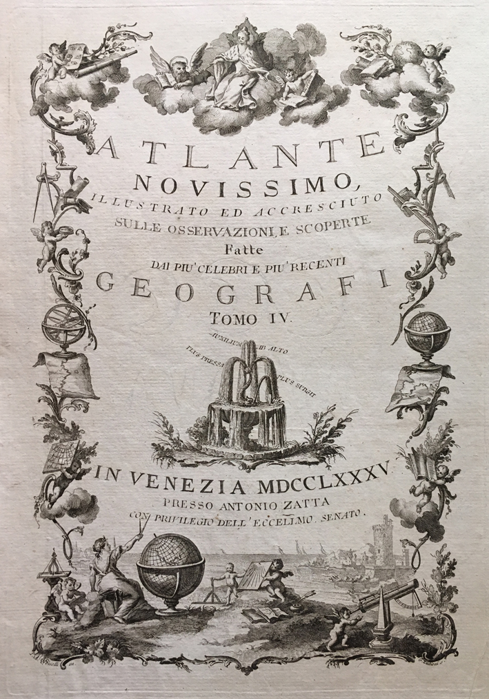
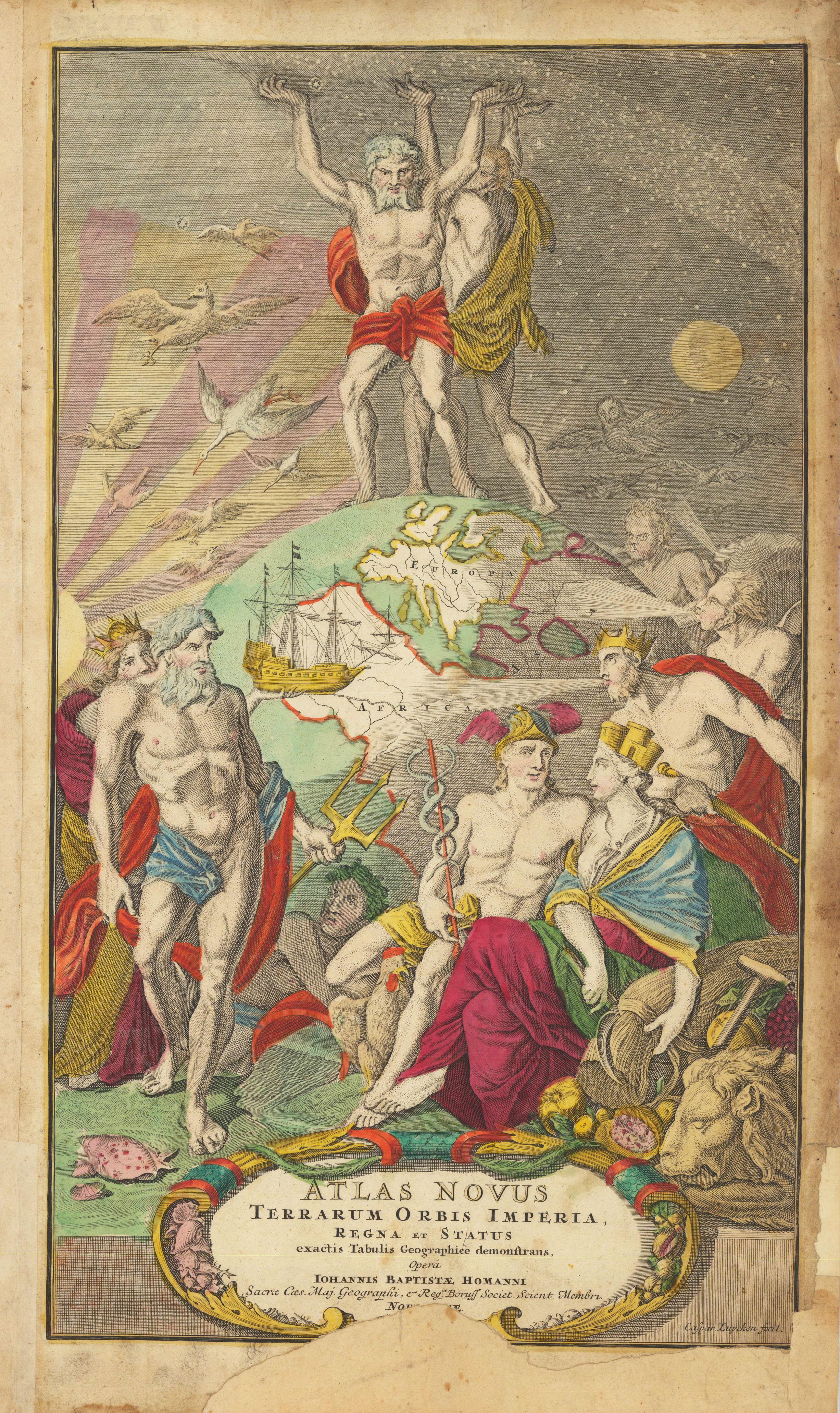
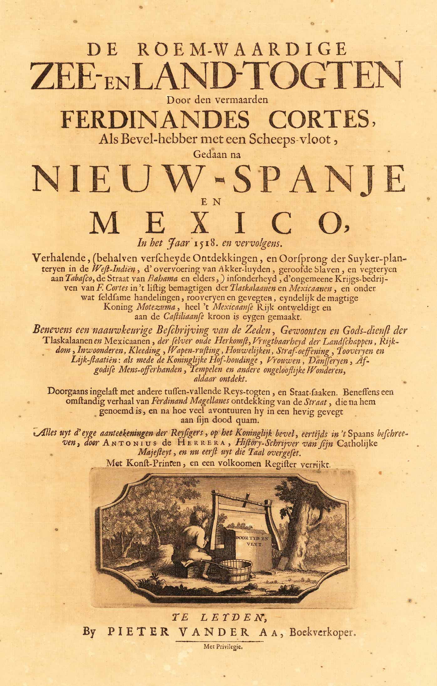
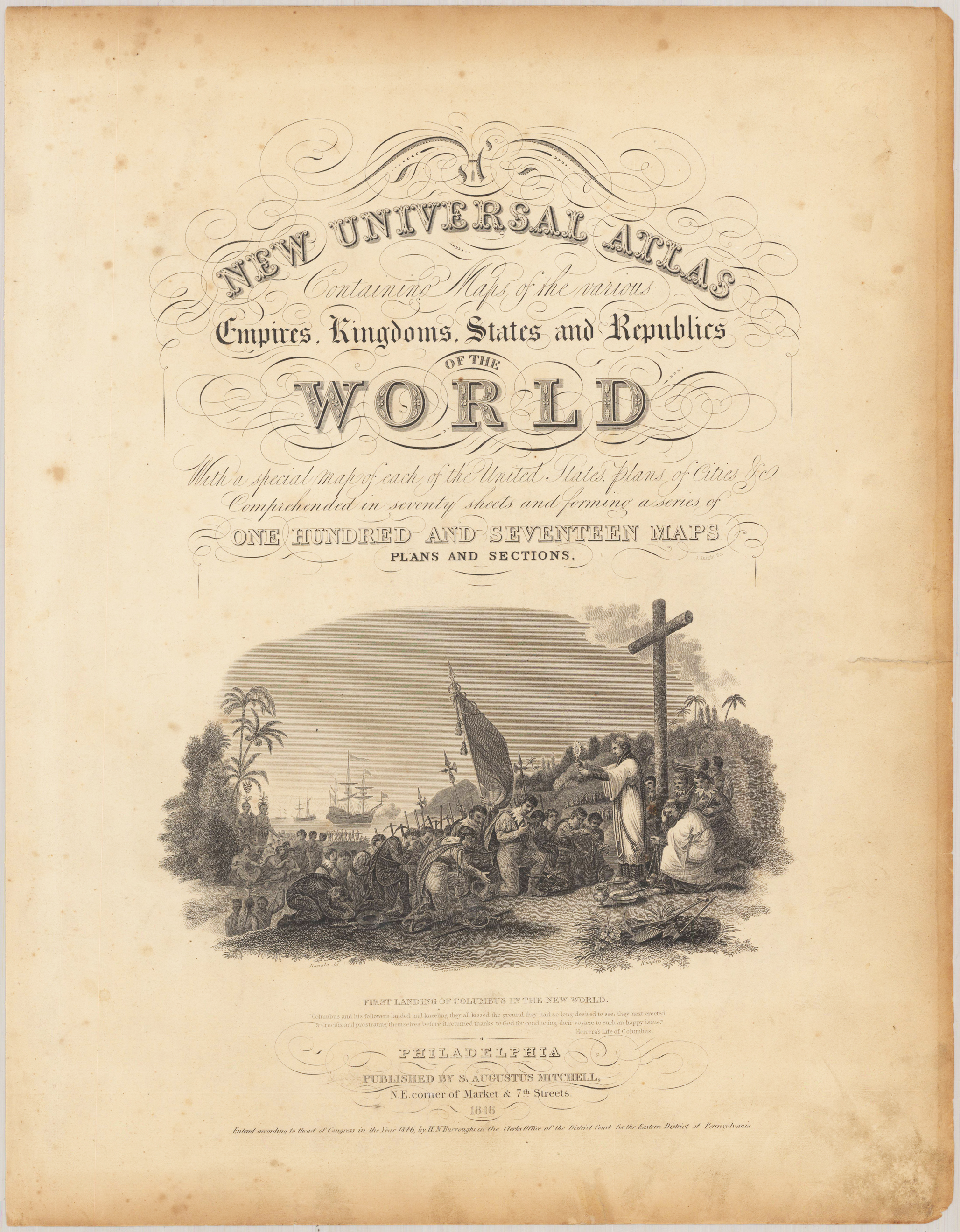
Copper engraving, uncolored as published. A fine and decorative engraved title page with geographical allegories (globes and astronomical instruments).
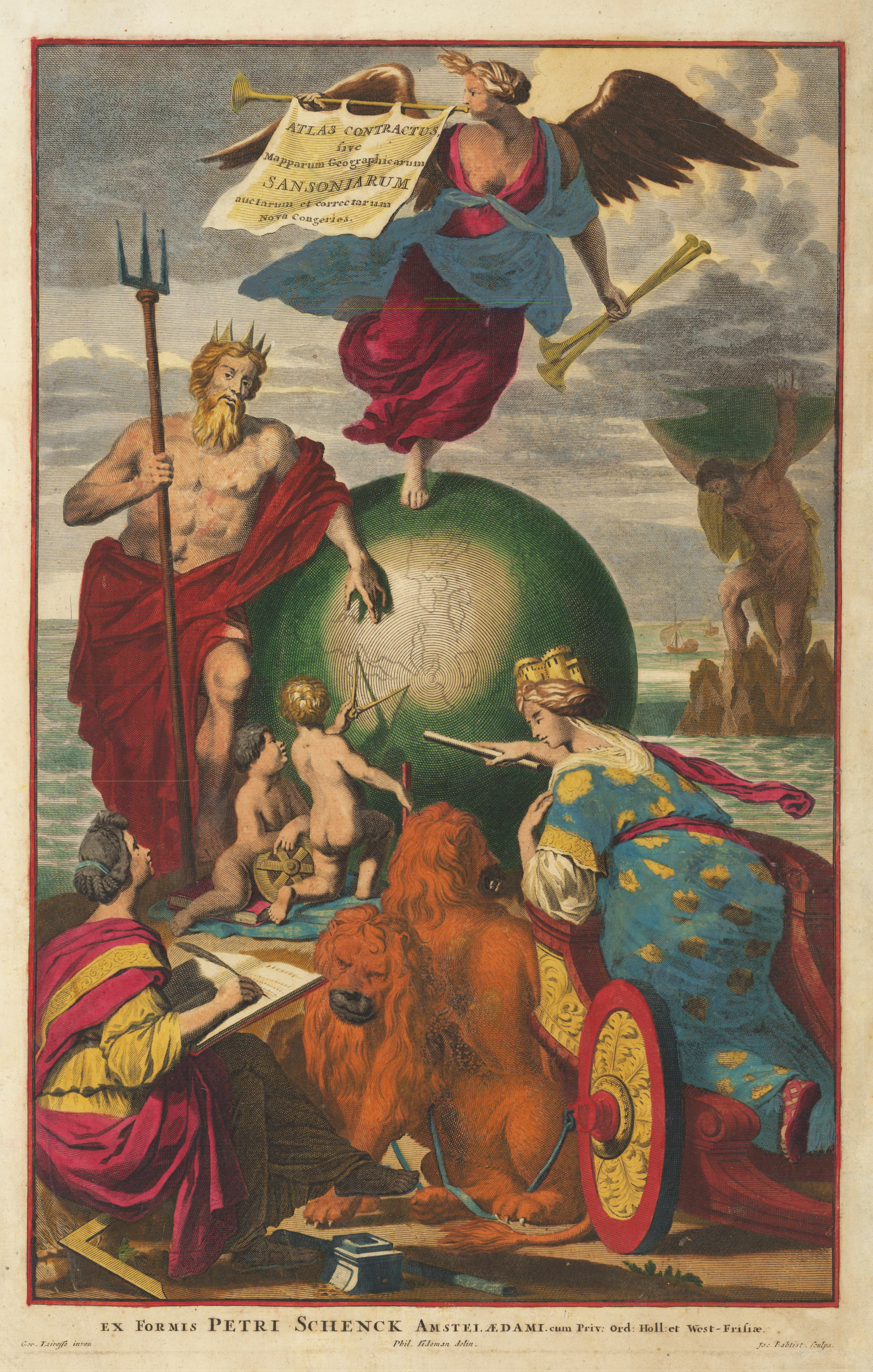
Original copper engraving hand colored when published c. 1700-04. This beautiful old colored title page depicts Europe, in form of a woman, standing on a chariot and pointing on the big globe in the middle of the engraving. On the globe there is a trumpet angel with the cartouche on the instrument. Neptune is leaning against the left side of the globe. In the background the titan Atlas is holding the Earth on his shoulders. Engraved by Jac. Baptist after a drawing by Ger. Lairesse.
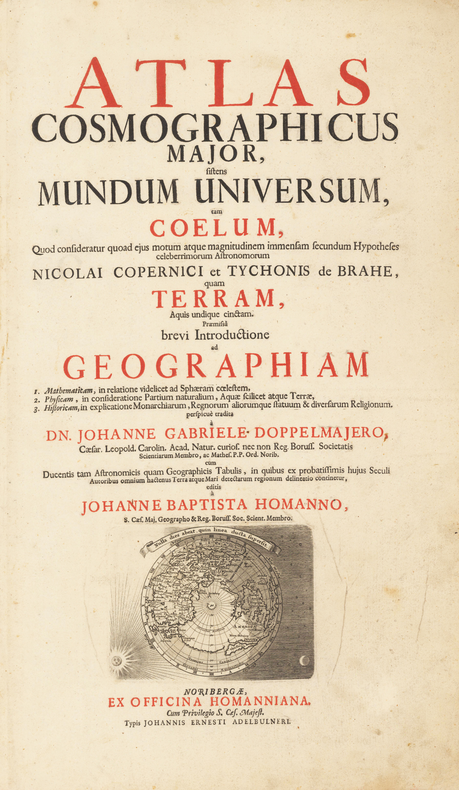
Copper engraved title page printed in red and black. This attractive title page, printed in red and black, includes a map at bottom of the Northern Hemisphere showing California as an island. The sphere is surrounded by the sun, moon and stars.
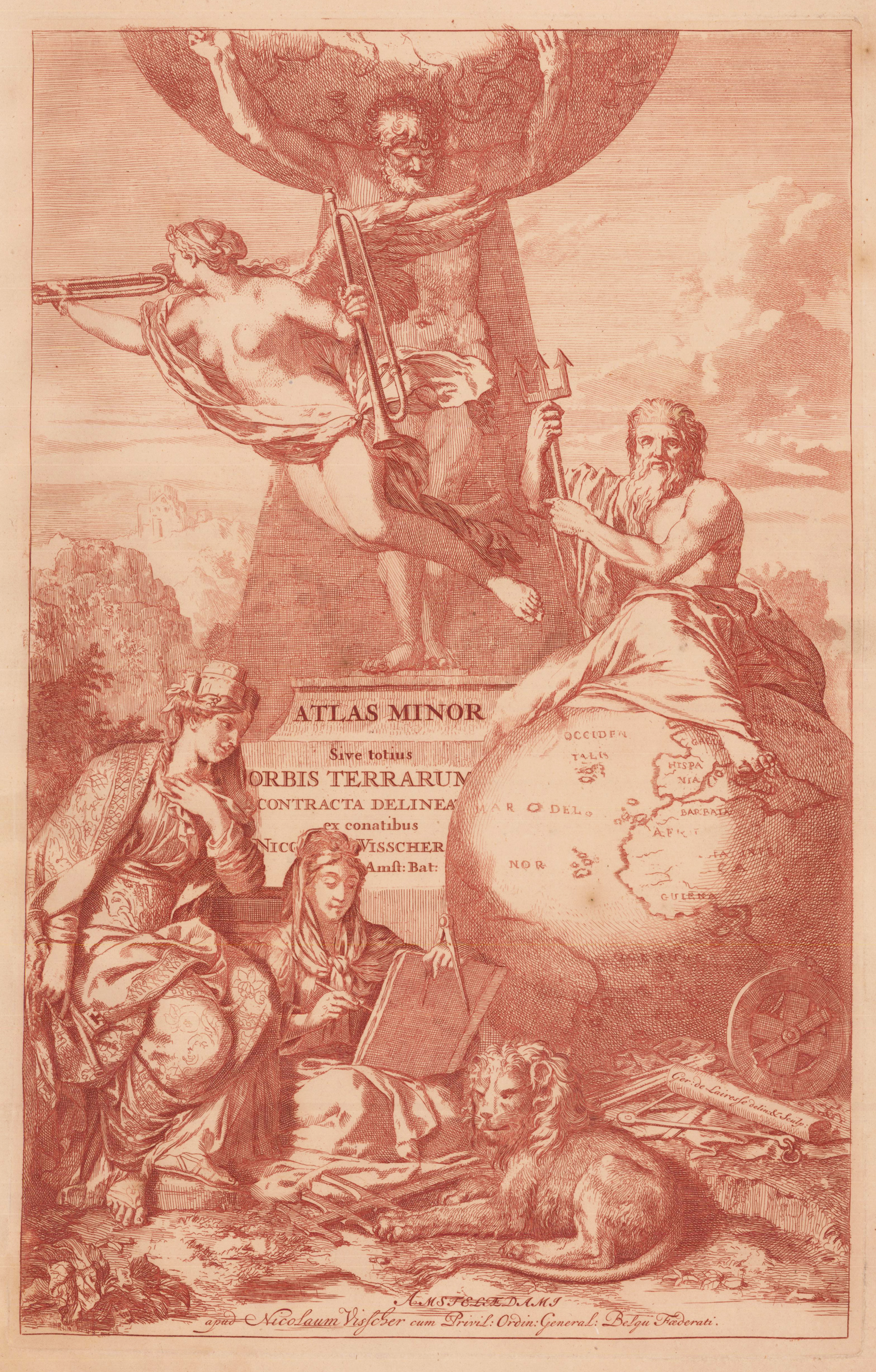
Original antique copper engraving. Verso blank. Depicted with five classical figures. Against a tall pyramid, stands Atlas supporting the Heavens on his shoulders. On the right side is Neptune, seated atop a large globe and grasping his trident. To the left side is Cybele, mother goddess of the Earth with her turreted headpiece and holding another of her attributes, behind of the seated Muse of History. At her feet are measuring instruments - a cross-staff, measuring chain and circumferentor. Finally, borne in the air in front of Atlas is the angel of Fame with her twin trumpets, emphasising the importance and significance of Visscher's atlas.
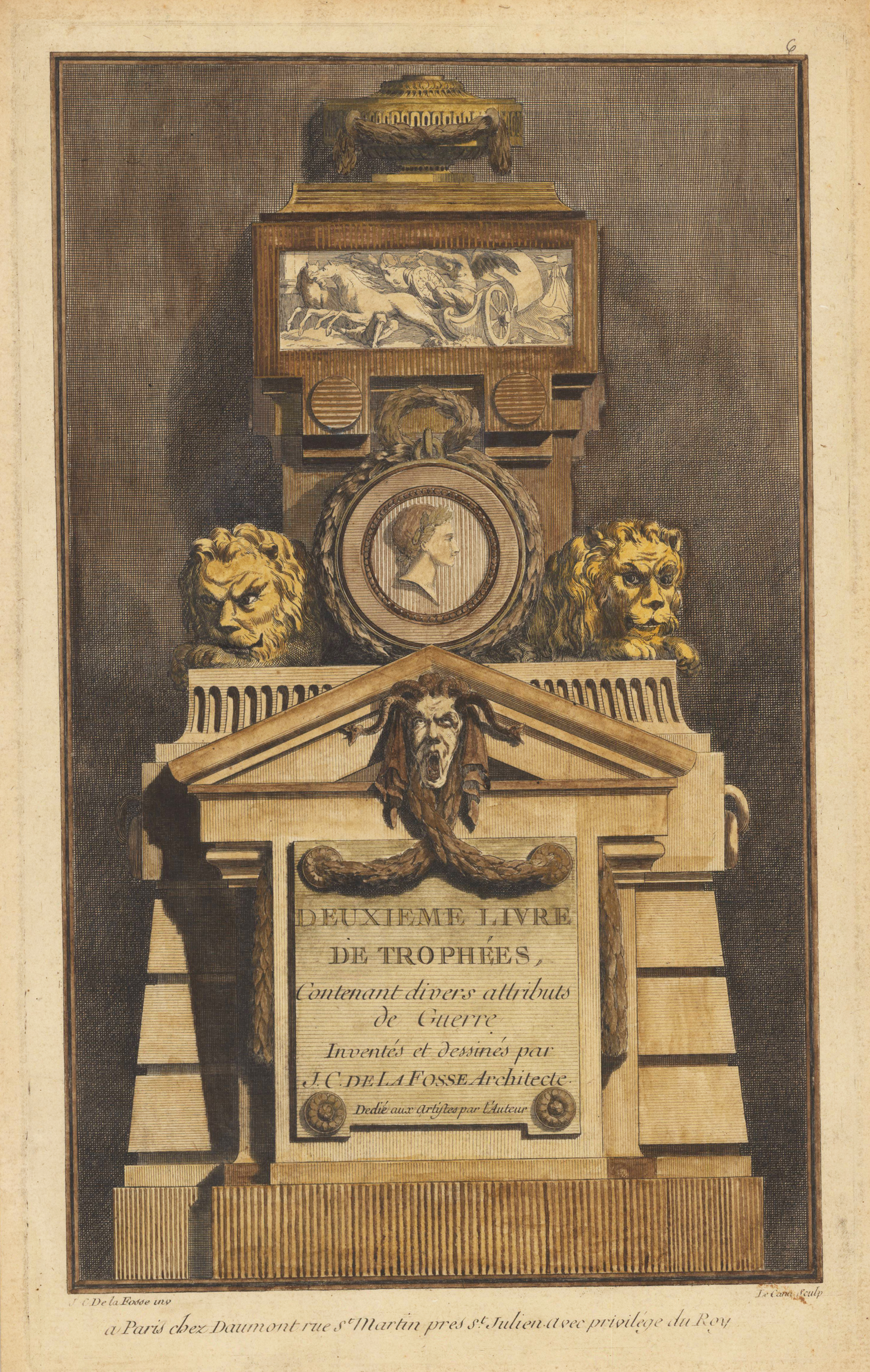
Original antique hand colored title page of an rare album with 30 ornamental prints, published in 6 installments or books with 1st Church, - 2nd War, - 3rd Military, - 4th Shepherd Trophies, - 5th Trophies of Hunting and Fishing, and - 6th Trophies of Music and Love. Delafosse's work of the early 1760s was fundamental to the development of the neoclassical architectural style that was emerging by the time of Louis XVI. connected is.
Copper engraving, decorative hand colored in wash when published.
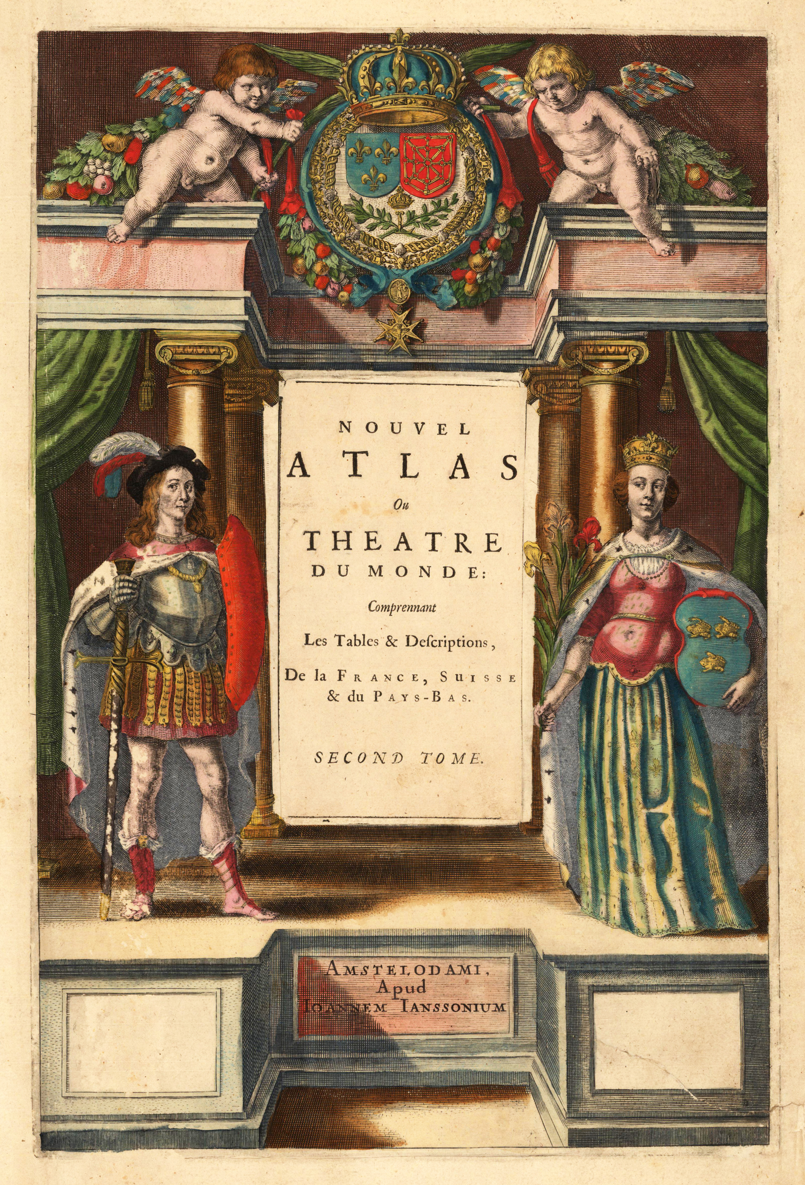
This title is engraved on a separate sheet, as was common practice for publishers during this period. Engraved with the figures of a musketeer and the French Queen flanking the title. The queen is holding the national flower and her skirt is decorated with fleur-de-lis, all highlighted in gold leaf. At top two putti display the coat of arms that is draped in a fruit and vine garland. Johannes Janssonius (1588, Arnhem – buried July 11, 1664, Amsterdam) (born Jan Janszoon, in English also Jan Jansson) was a Dutch cartographer and publisher who lived and worked in Amsterdam in the 17th century.
Janssonius was born in Arnhem, the son of Jan Janszoon the Elder, a publisher and bookseller. In 1612 he married Elisabeth de Hondt, the daughter of Jodocus Hondius. He produced his first maps in 1616 of France and Italy. In 1623 Janssonius owned a bookstore in Frankfurt am Main, later also in Danzig, Stockholm, Copenhagen, Berlin, Königsberg, Geneva and Lyon. His wife Elisabeth died in 1627 and he married Elisabeth Carlier in 1629. He formed a partnership with his brother in law Henricus Hondius, and together they published atlases as Mercator/Hondius/Janssonius.
Under the leadership of Janssonius the Hondius Atlas was steadily enlarged. Renamed Atlas Novus, it had three volumes in 1638, one fully dedicated to Italy. In 1646, a fourth volume came out with "English County Maps", a year after a similar issue by Joan Blaeu. Janssonius' maps are similar to those of Blaeu, and he is often accused of copying from his rival, but many of his maps predate those of Blaeu and/or covered different regions. By 1660, at which point the atlas bore the appropriate name "Atlas Major", there were 11 volumes, containing the work of about a hundred credited authors and engravers. It included a description of "most of the cities of the world" (Townatlas), of the waterworld (Atlas Maritimus in 33 maps), and of the Ancient World (60 maps). The eleventh volume was titled Atlas of the Heavens (a type of celestial cartography) by Andreas Cellarius. Editions were printed in Dutch, Latin, French, and a few times in German.
After Janssonius's death, the publishing company was continued by his son-in law, Johannes van Waesbergen. The London bookseller Moses Pitt attempted publication of the Atlas Major in English, but ran out of resources after the fourth volume in 1683. (Wikipedia)
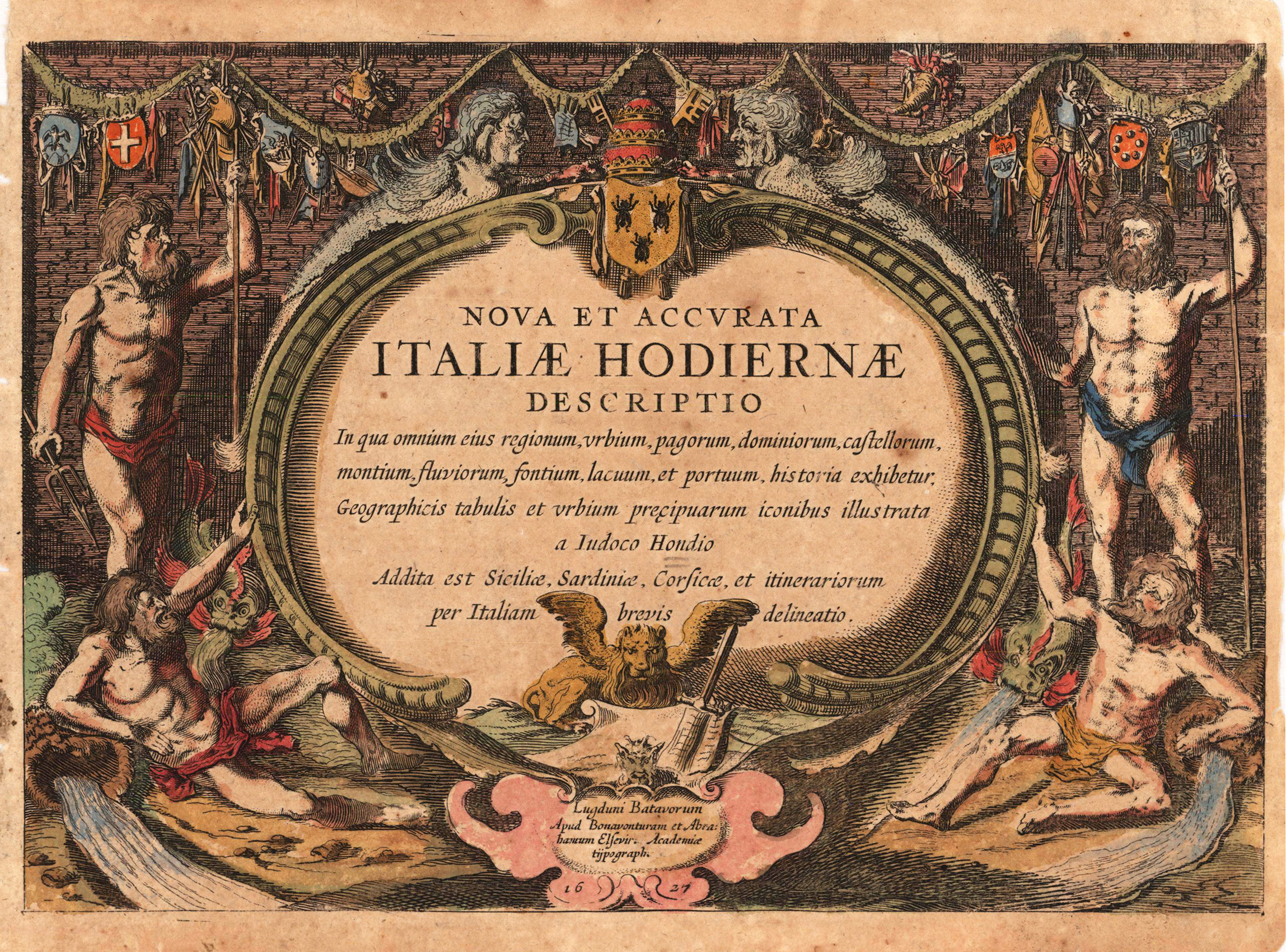
Copper engraving, finely hand colored. Finely engraved title page for Joducus Hondius's townbook of Italy., Joducus This city view is decorative ornated with a renaissance title cartouche. Further this antique print is highly decorative engraved and some of the town views from 'Nova et Accurata Italiae ...' are engraved after earlier city views from the famous series 'Civitates Orbis Terrarum' by Braun & Hogenberg. Also they are occasionally ornated with rural figures in the foreground, a coat of arms, ships or a decorative landscape. This antique print is finely hand colored in wash and outline. Printed on good paper on the full sheet as published. In 1626 Jodocus Jr. published 'Nova et Accurata Italiae Hodiernae Descriptio', a description of Italy with 31 small maps (16 x 23 cm) and 66 town views interspersed between the pages. (Koeman, Atlantes Neerlandici Vol. I Pag.35)
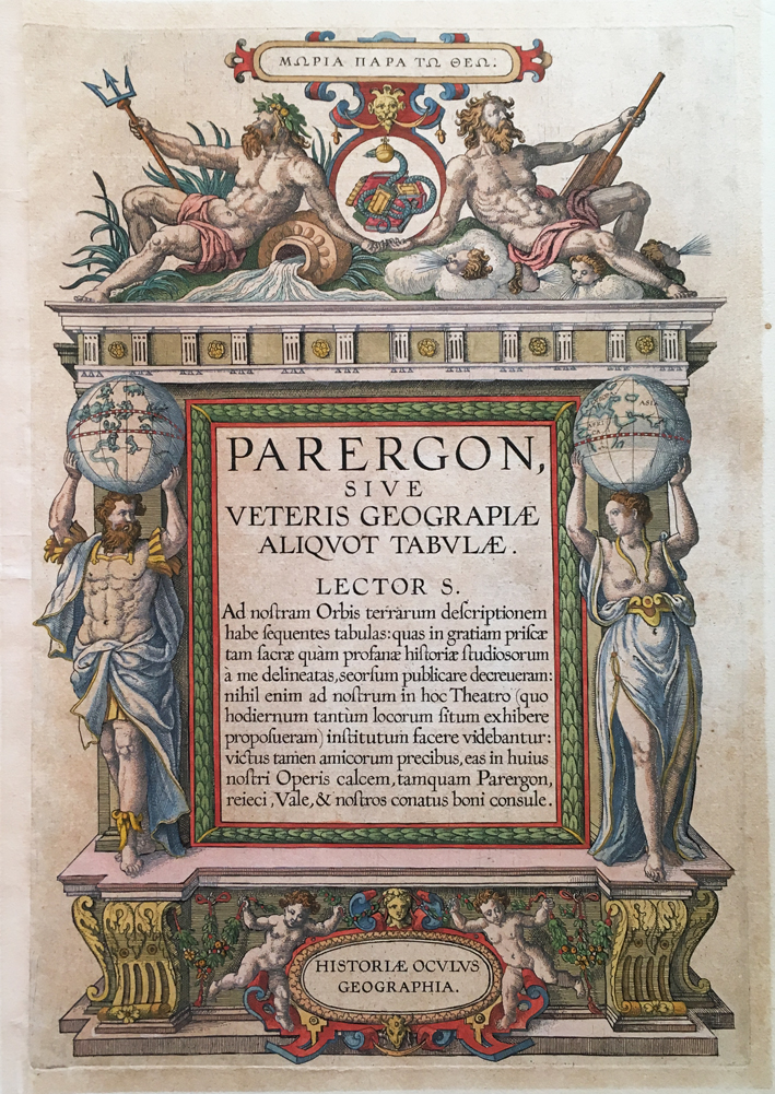
Copper engraving, hand colored. Fine decorative title page from Abraham Ortelius's historical atlas ,Parergon'. Latin text edition. A highly decorative geographical title page from Abraham Ortelius famous historical atlas with allegories to the earth (river gods) and the heaven. Further two humans (a man and woman) holding globes of the eastern and western hemispheres above their heads.
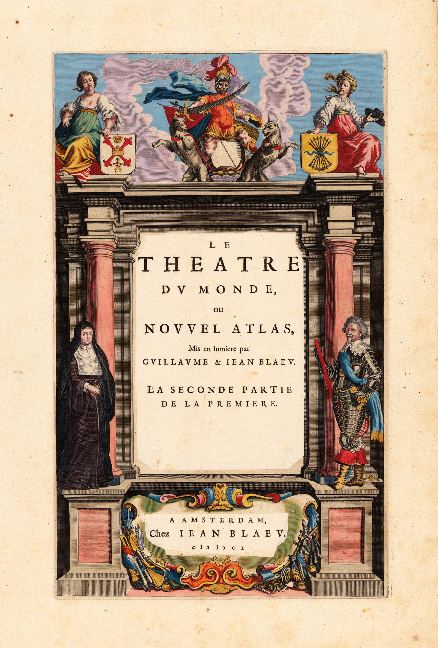
Original antique copper engraving, hand colored in outline published in Joan Blaeu's 'Atlas Novus'. The engraving is partly heightened in gold. Beautiful colored title page. Joan Blaeu (23 September 1596 – 21 December 1673) was a Dutch cartographer born in Alkmaar, the son of cartographer Willem Blaeu. In 1620 he became a doctor of law but he joined the work of his father. In 1635 they published the Atlas Novus (full title: Theatrum orbis terrarum, sive, Atlas novus) in two volumes. Joan and his brother Cornelius took over the studio after their father died in 1638. Joan became the official cartographer of the Dutch East India Company. Blaeu's world map, Nova et Accuratissima Terrarum Orbis Tabula, incorporating the discoveries of Abel Tasman, was published in 1648. This map was revolutionary in that it "depicts the solar system according to the heliocentric theories of Nicolaus Copernicus, which show the earth revolving around the sun.... Although Copernicus's groundbreaking book On the Revolutions of the Spheres had been first printed in 1543, just over a century earlier, Blaeu was the first mapmaker to incorporate this revolutionary heliocentric theory into a map of the world." Blaeu's map was copied for the map of the world set into the pavement of the Groote Burger-Zaal of the new Amsterdam Town Hall, designed by the Dutch architect Jacob van Campen (now the Amsterdam Royal Palace), in 1655. Blaeu's Hollandia Nova was also depicted in his Archipelagus Orientalis sive Asiaticus published in 1659 in the Kurfürsten Atlas (Atlas of the Great Elector). and used by Melchisédech Thévenot to produce his map, Hollandia Nova—Terre Australe (1664). As Joan Blaeu, he also published the 12 volume "Le Grand Atlas, ou Cosmographie blaviane, en laquelle est exactement descritte la terre, la mer, et le ciel". One edition is dated 1663. That was folio (540 x 340 mm), and contained 593 engraved maps and plates. In March 2015, a copy was on sale for £750,000. Around 1649 Joan Blaeu published a collection of Dutch city maps named Toonneel der Steeden (Views of Cities). In 1651 he was voted into the Amsterdam council. In 1654 Joan published the first atlas of Scotland, devised by Timothy Pont. In 1662 he reissued the Atlas Novus, also known as Atlas Maior, in 11 volumes, and one for oceans.[citation needed] A cosmology was planned as their next project, but a fire destroyed the studio completely in 1672. (Wikipedia)
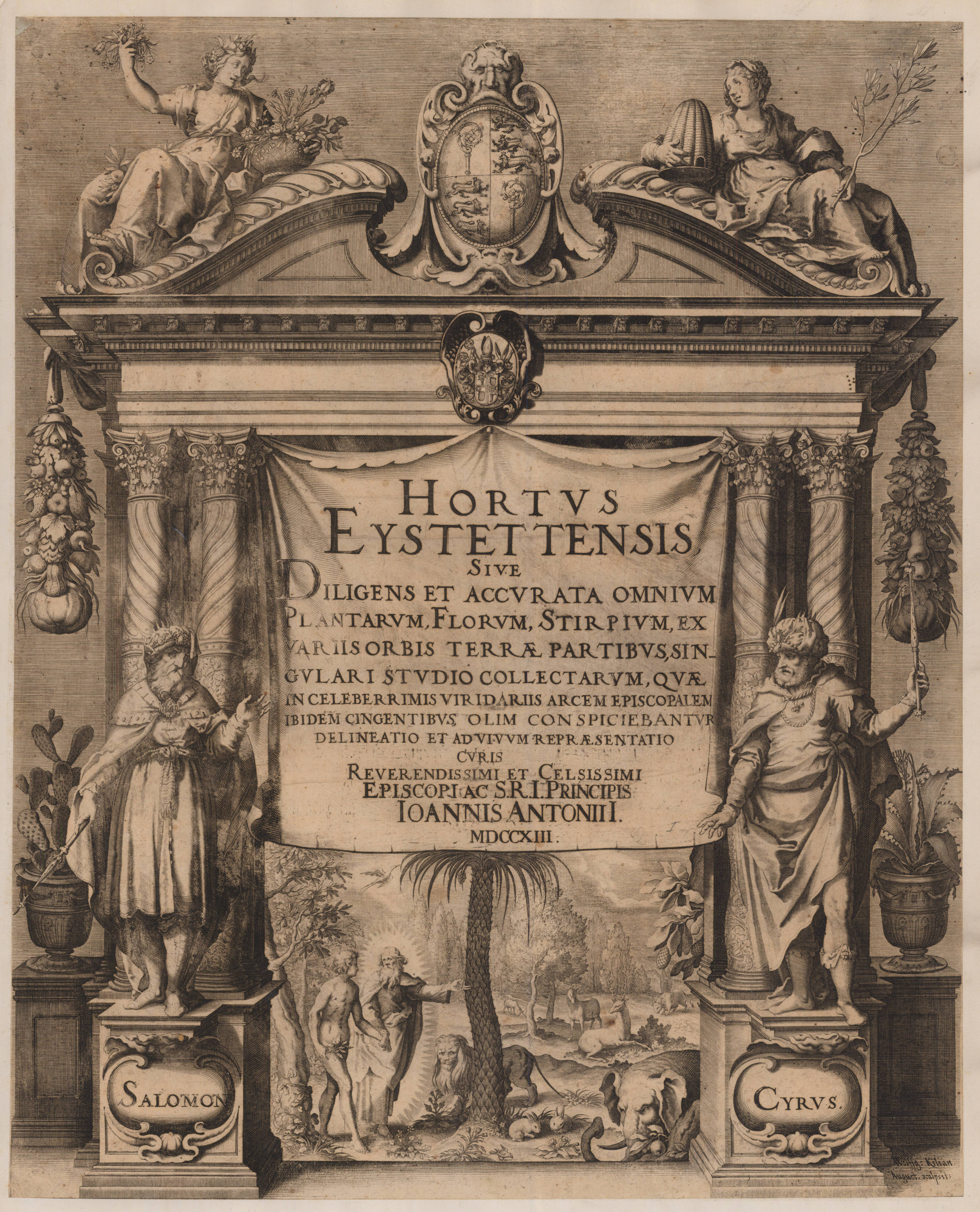
Original copper engraving, uncolored. The frontispiece to 'Hortus Eystettensis' by Basilius Besler, published first in 1613, here the edition for the jubilee edition 1713. Bishop Johann Konrad von Gemmingen commissioned Besler to produce the work, which he took sixteen years to put together, although the bishop died before completing it. With the support of his brother and a group of experienced German draftsmen and engravers, including Sebastian Schedel, an accomplished painter, and Wolfgang Kilian, an experienced engraver from Augsburg. They engraved the first copper plates. After the bishop's death, the company moved to Nuremberg. New engravers completed the book, including Johannes Leypold, Georg Gärtner, Levin and Friedrich van Hulsen, Peter Isselburg, Heinrich Ulrich, Dominicus Kustos and Servatius Raeven.
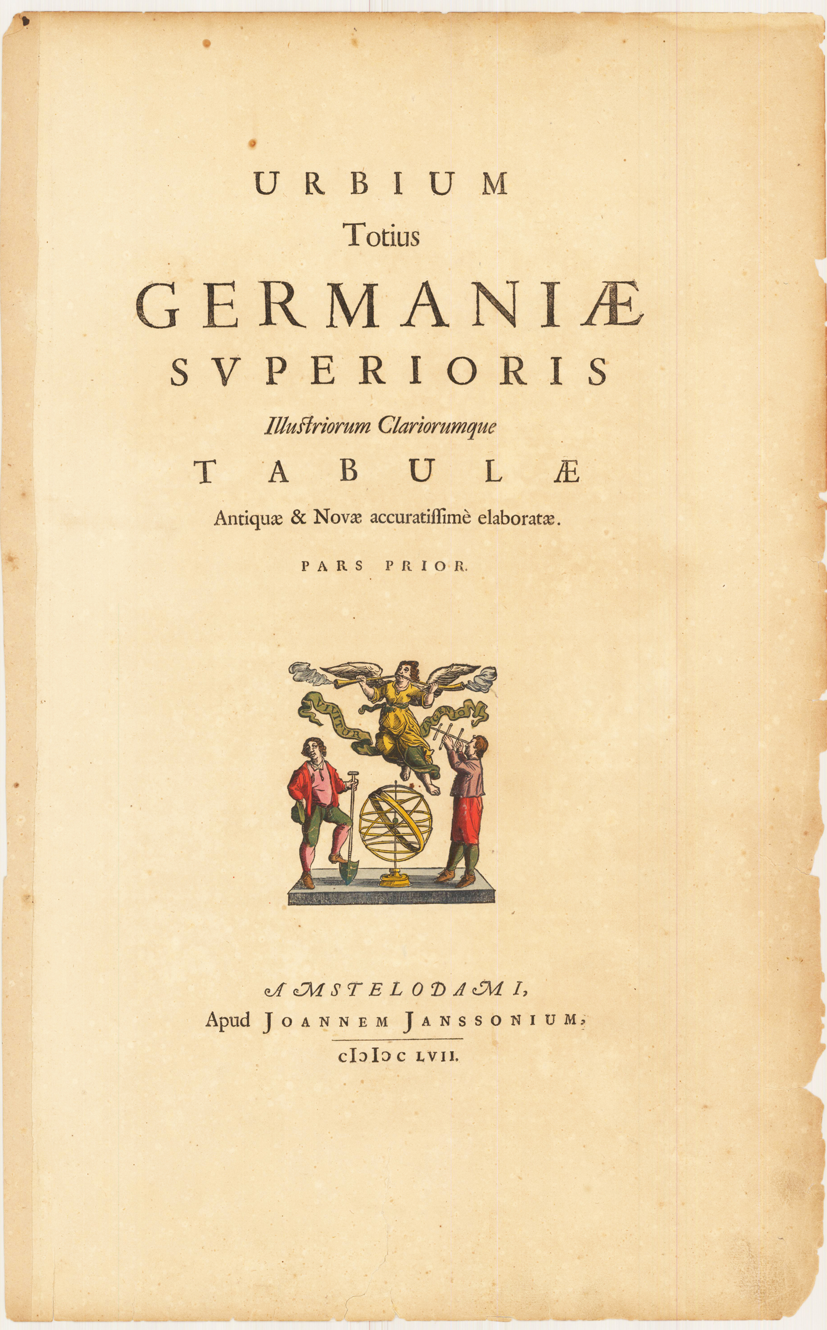
Original antique old colored title page Original title page for Joan Janssonius's townbooks of Germany with decorative old colored woodcut vignette. The device hand colored features a flying Fama at top playing two trumpets; at center an armillary sphere on which sides are a farmer and a man looking at the sky with a Jacob's staff. A motto on a ribbon reads: 'VIVITUR INGENIO'. The book collected views of the cities from above. Date of print 1657, published in Amsterdam by Jan Janssonium.