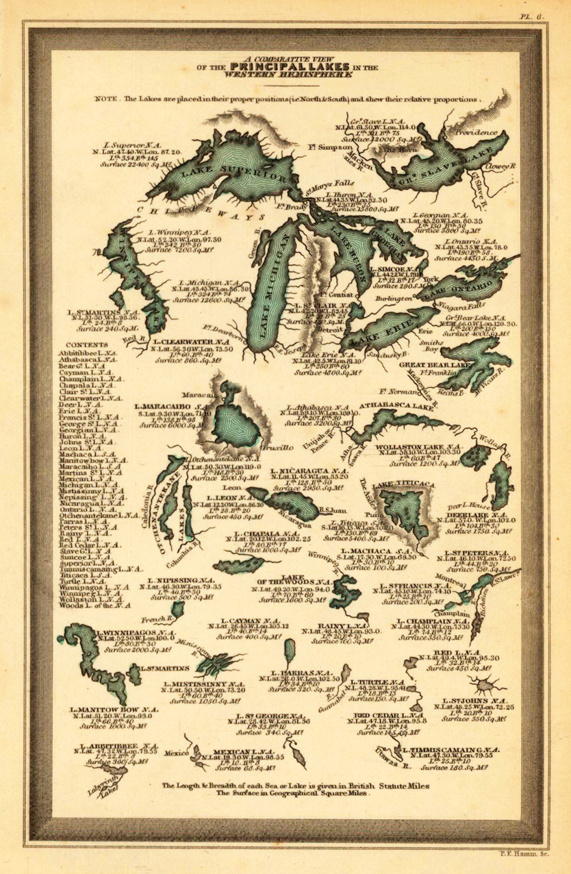
Steel engraving, hand colored in outline and wash when published. Engraved by P.E. Hamm. This fine small engraved old map shows a comparative view of the principal lakes in the Western Hemisphere. This rare antique original map was published by Carey & Lea in Philadelphia in a small pocket atlas. Detailed engraved with place names, rivers and mountain chains.
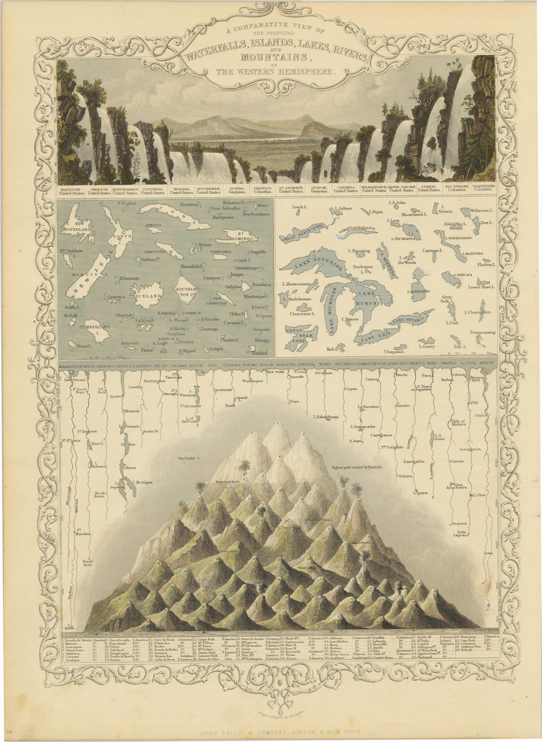
Steel engraving, hand colored in outline and wash. A beautiful hand colored example of John Tallis's map showing a comparative view of the principal waterfalls, islands, lakes, rivers and mountains in the Eastern Hemisphere. A the top a fine engraved panoramic scence comparing the waterfalls of the Eastern Hemisphere. Among them Missouri, Niagara Falls, Catskill, etc. At the bottom a comparative view of the mountains in North and South America.
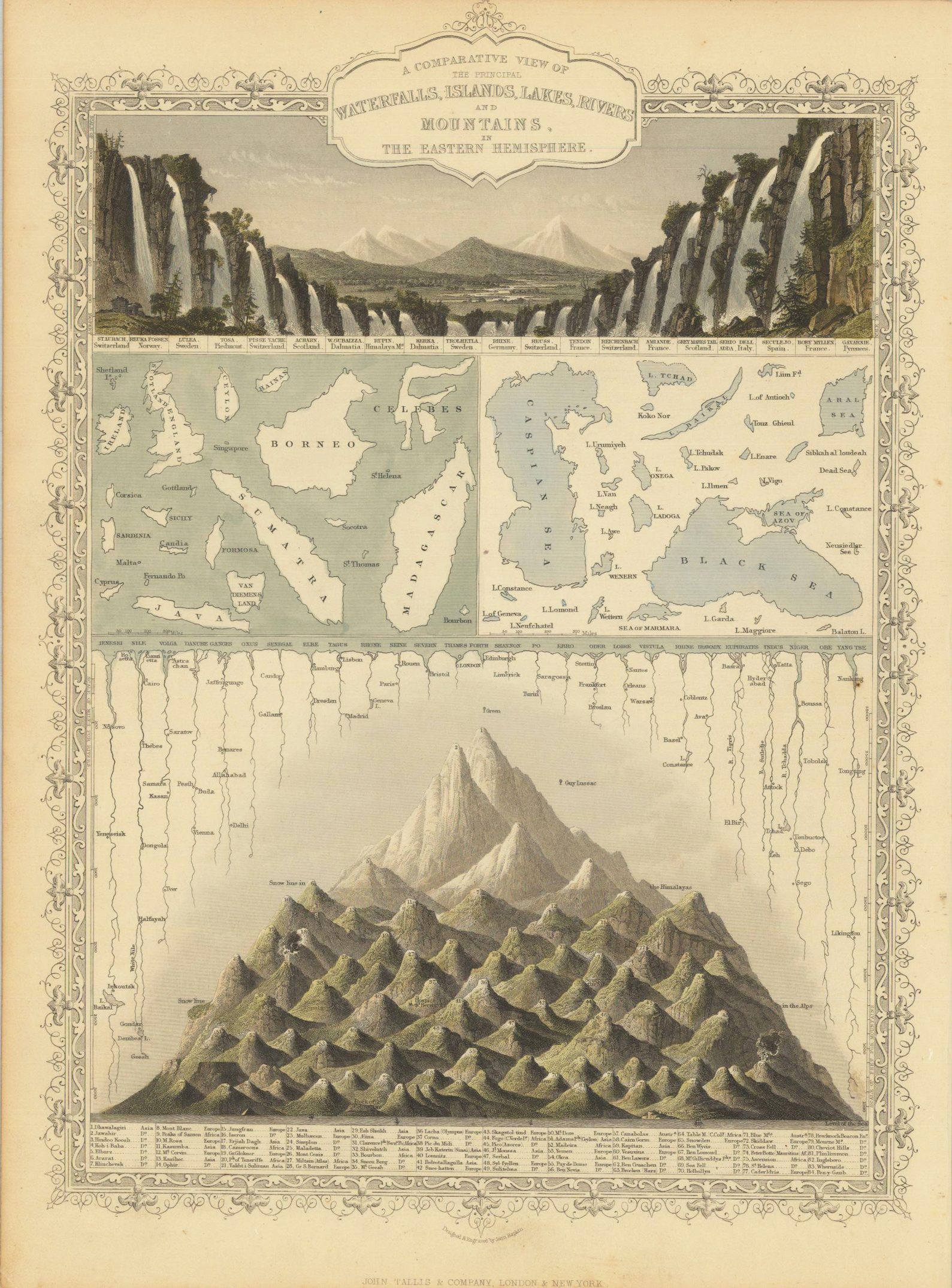
Steel engraving, hand colored in outline and wash. A beautiful hand colored example of John Tallis's map showing a comparative view of the principal waterfalls, islands, lakes, rivers and mountains in the Western Hemisphere. A the top a fine engraved panoramic scence comparing the waterfalls of the Western Hemisphere. Among them Reuka Fossen (Norway), Kerka (Dalmatia), Reichenbach (Switzerland), etc. At the bottom a comparative view of the mountains from Europe towards Asia including snow lines, above the rivers and lakes.
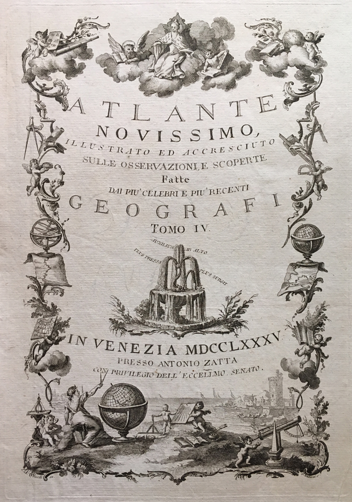
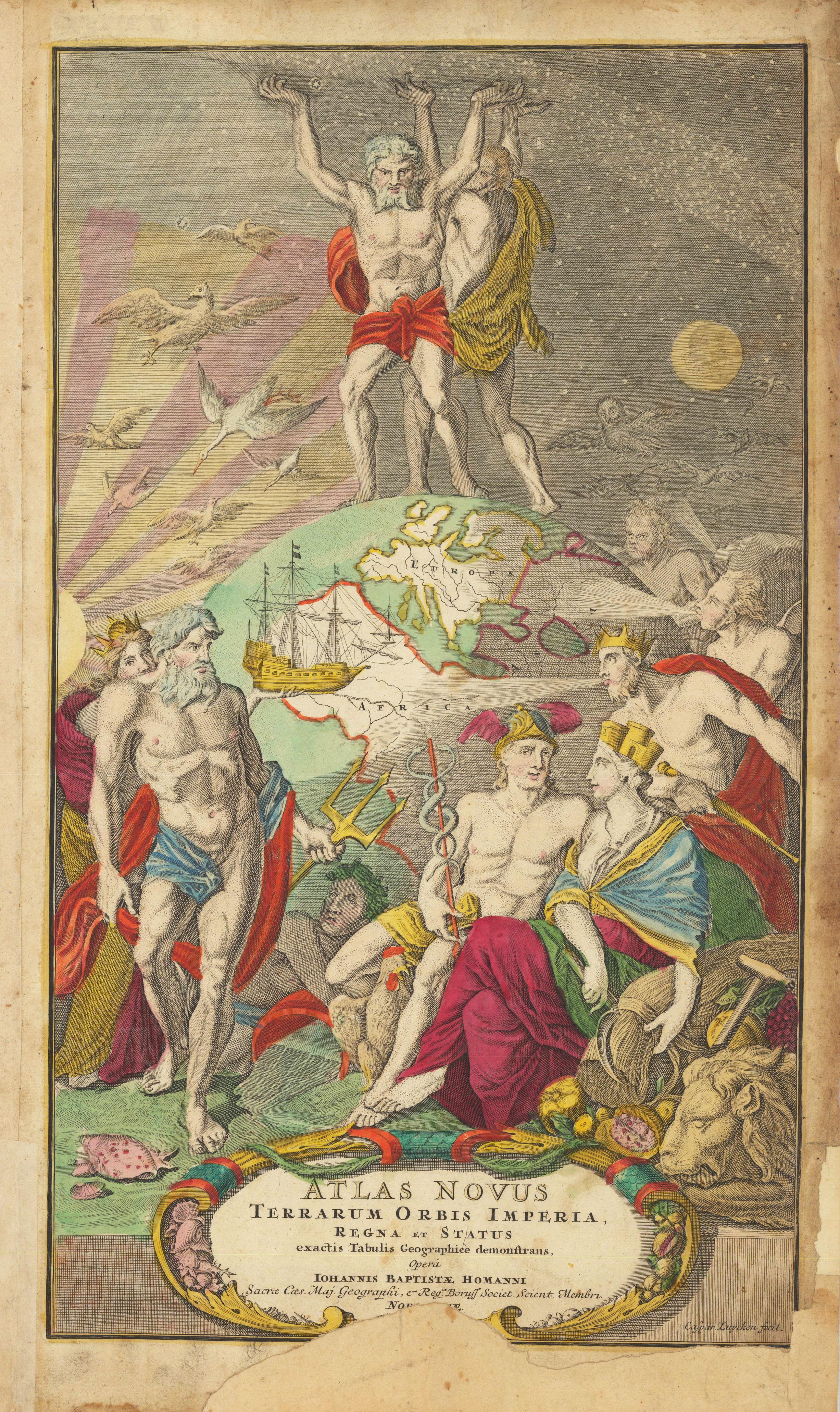
Copper engraving, uncolored as published. A fine and decorative engraved title page with geographical allegories (globes and astronomical instruments).
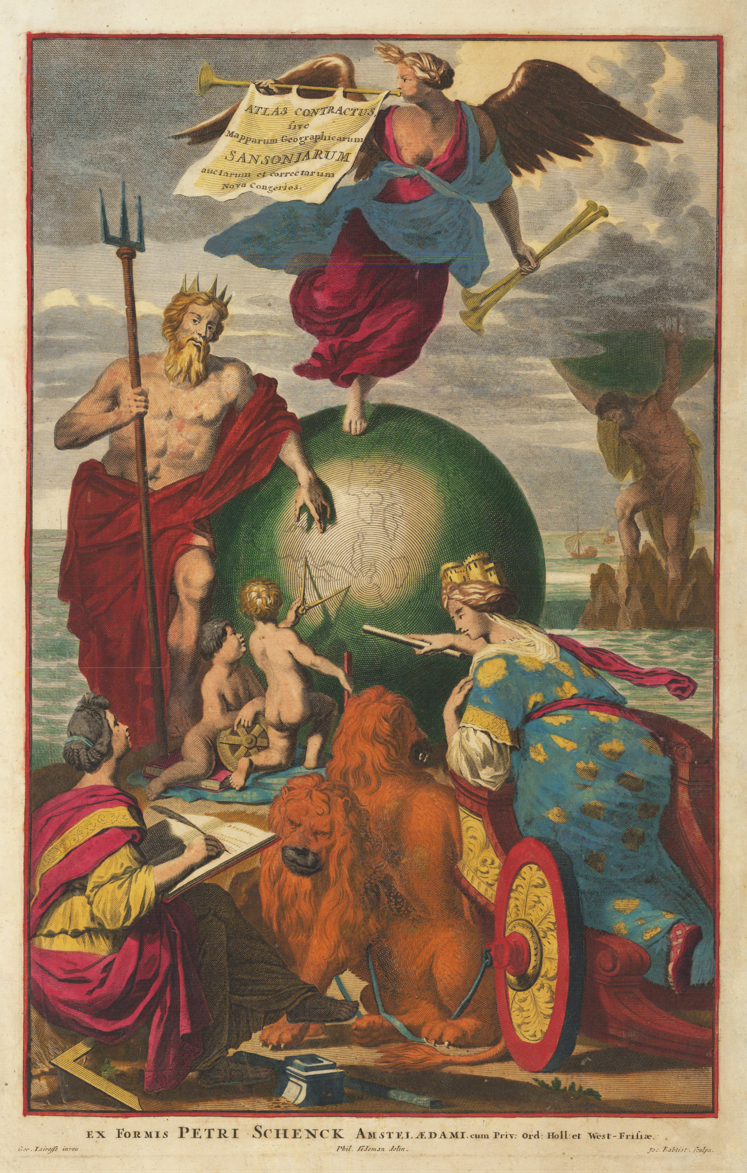
Original copper engraving hand colored when published c. 1700-04. This beautiful old colored title page depicts Europe, in form of a woman, standing on a chariot and pointing on the big globe in the middle of the engraving. On the globe there is a trumpet angel with the cartouche on the instrument. Neptune is leaning against the left side of the globe. In the background the titan Atlas is holding the Earth on his shoulders. Engraved by Jac. Baptist after a drawing by Ger. Lairesse.
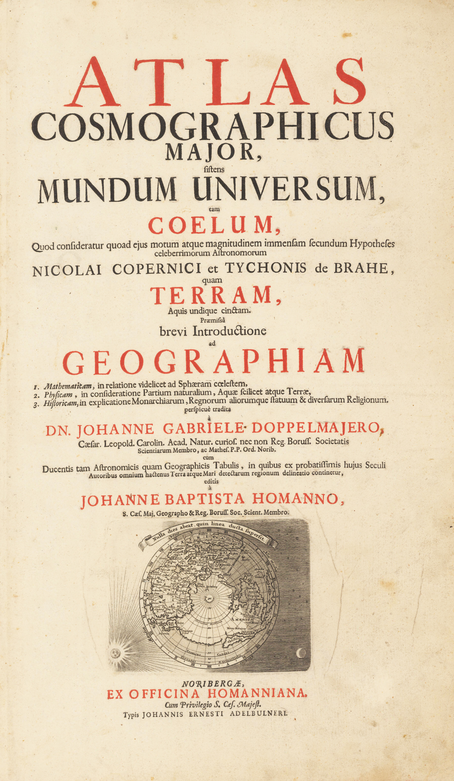
Copper engraved title page printed in red and black. This attractive title page, printed in red and black, includes a map at bottom of the Northern Hemisphere showing California as an island. The sphere is surrounded by the sun, moon and stars.
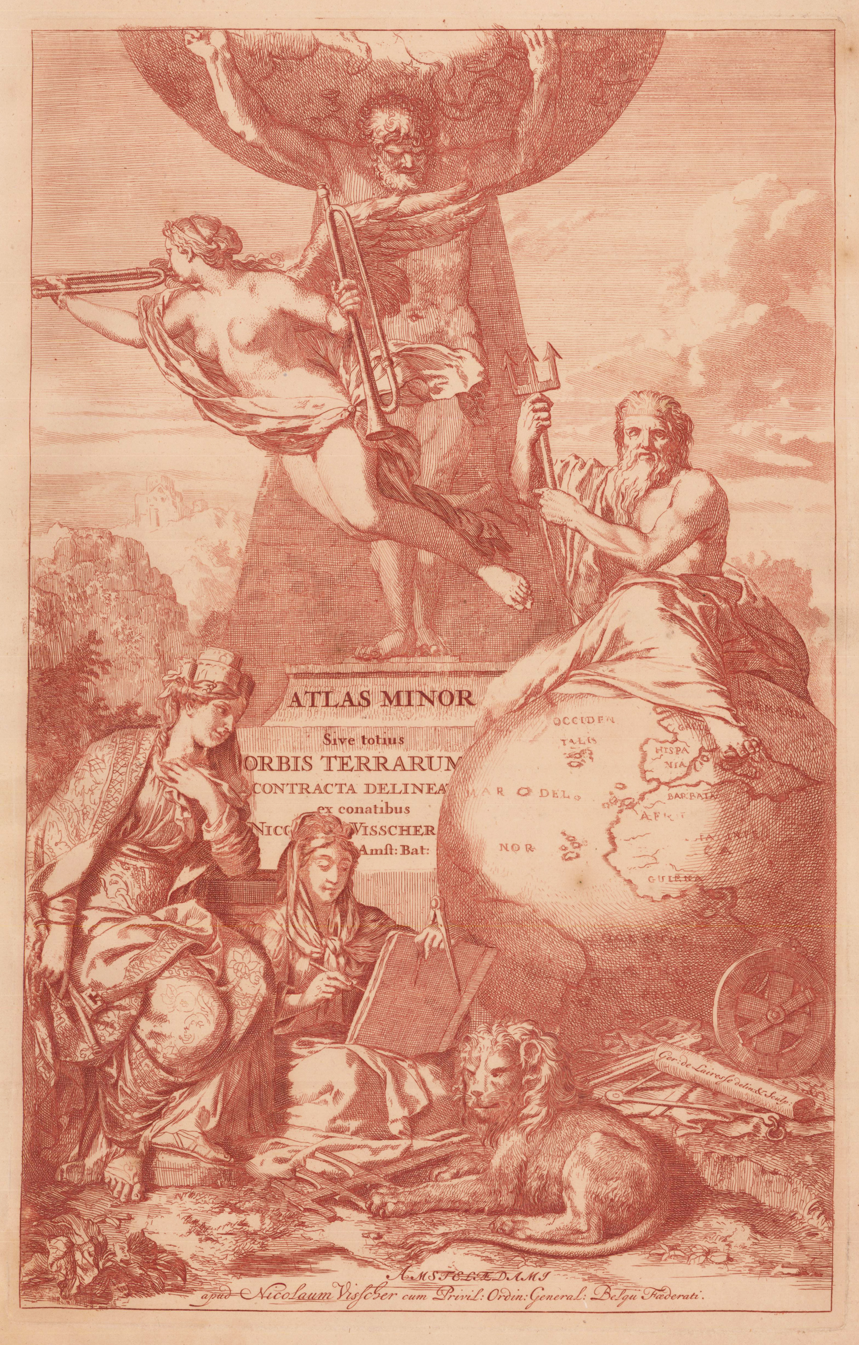
Original antique copper engraving. Verso blank. Depicted with five classical figures. Against a tall pyramid, stands Atlas supporting the Heavens on his shoulders. On the right side is Neptune, seated atop a large globe and grasping his trident. To the left side is Cybele, mother goddess of the Earth with her turreted headpiece and holding another of her attributes, behind of the seated Muse of History. At her feet are measuring instruments - a cross-staff, measuring chain and circumferentor. Finally, borne in the air in front of Atlas is the angel of Fame with her twin trumpets, emphasising the importance and significance of Visscher's atlas.
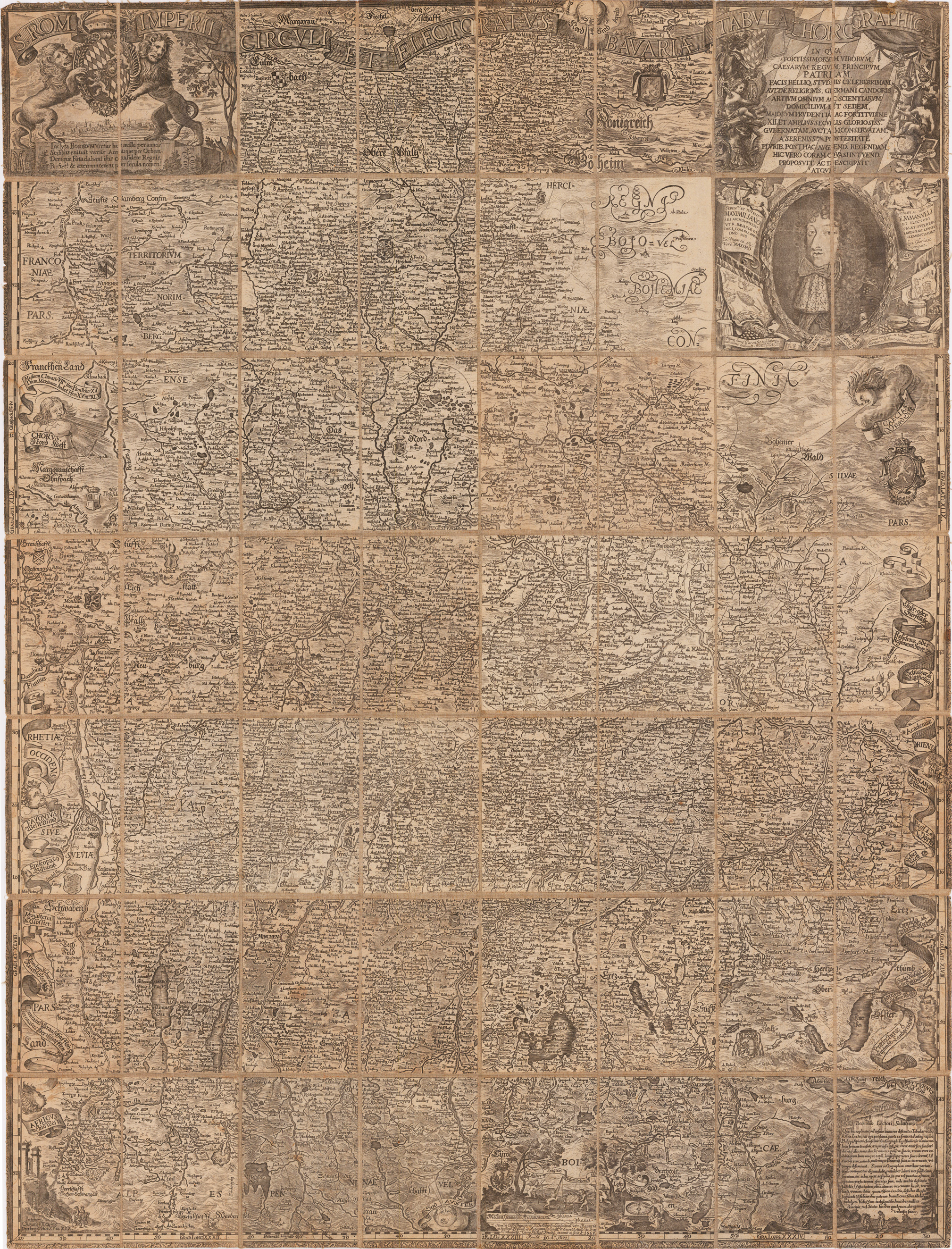
Original Kupferstichkarte, unkoloriert. Segmentiert in 56 Teile u. montiert als Wandkarte auf Leinen. Die gestoch. Bordüre außerhalb des Kartenbildes leicht beschnitten. Hier die revidierte Ausgabe von 1671, die Karte erschien erstmals 1663 in Form eines Atlas, sie zeigt Altbayern nach den Landtafeln von Philipp Apian . Im Oberrand Titel, links oben das bayr. Wappen, gehalten von 2 Löwen, darunter Gesamtansicht der Stadt München, rechts oben weitere Kartusche mit Widmung auf Max Emanuel und Portrait desselben. All dies prächtig und aufwendig mit Allegorien verziert. Im Unterrand weitere allegorische Verzierungen (zur Kartographie u. auf die Alpen), sowie eine Kartusche mit Gruß an den Leser. Allseitig geschmückt mit Blasenden Winden . Finckh ergänzte das Kartenbild Apians mit der Oberpfalz nach der Karte von Erhard Reych. Das Kartenbild reicht nun im Norden bis zum Fichtelgebirge.
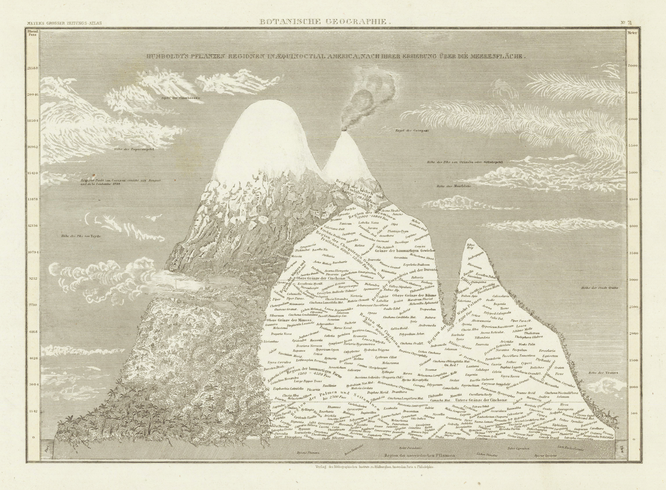
Steel engraving, uncolored as published. Example of a mountain, showing the distribution of plant species from sea level up to the height of 7000 meters.
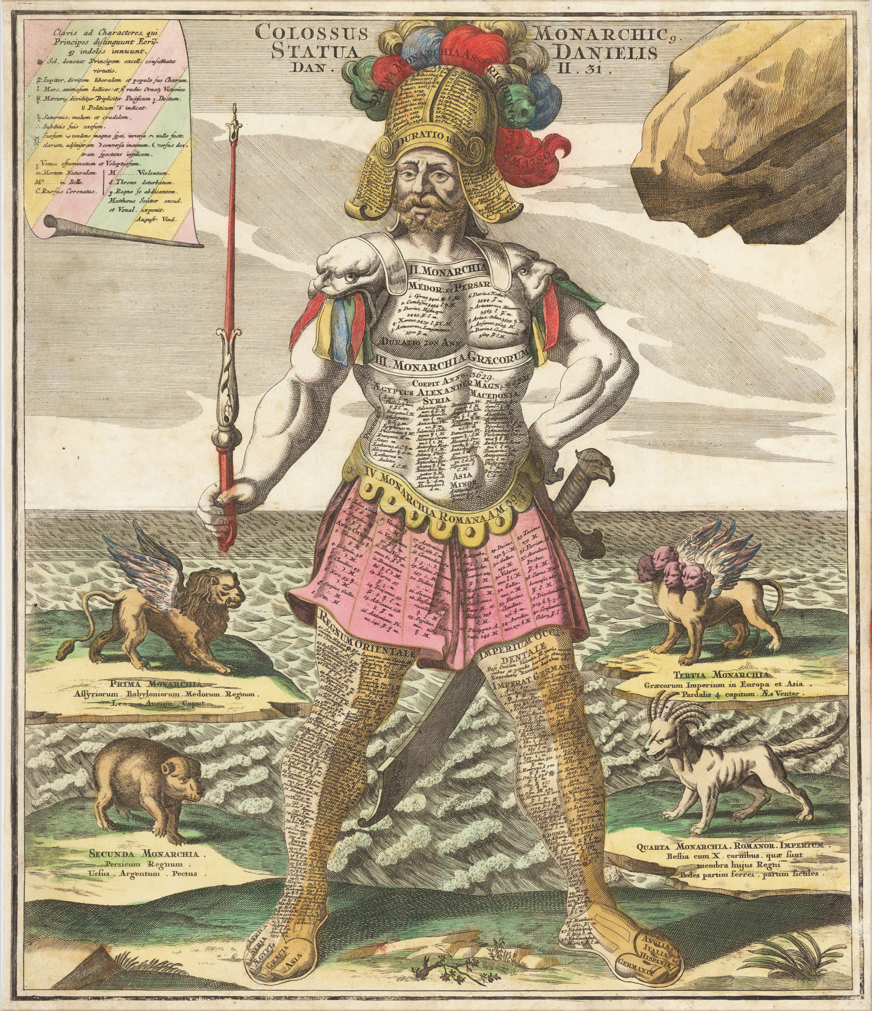
Original antique hand colored copper engraving. One of the most interesting cartographic curiosities in Seutter`s famous series of large symbolic figures. Colossus, with sword and scepter, represents Daniel`s interpretation of King Nebuchadnezzar`s dream. The greatest empires in the history are engraved on the breastplate. Oriental empires on the left leg and western ones listed on the right leg. Mythical animals also representing the great monarchies flank the figure.
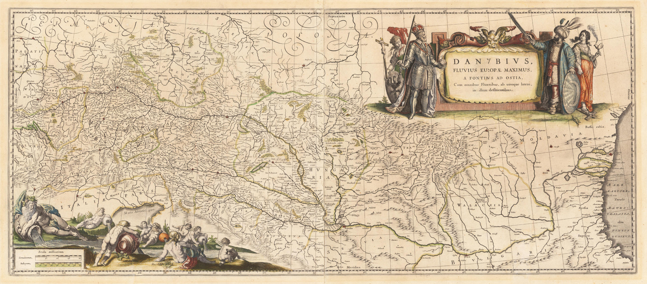
Original antique copper engraving, hand colored in outline and wash when published. Published in the atlas by Joan and Guijelmus Blaeu in Amsterdam around 1635-65. A highly decorative map of the river Danube from the its source in the,Black Forest' towards the mouth of the Danube into the Black Sea. In the upper right corner with a large allegoric title cartouche with the Christian ruler and the ruler of the Turkish empire. The lower left corner with a highly decorative title cartouche with an allegory on the river Danube showing several gods filling water into the source of the river Danube. Many engraved place names, as well river names including neighboring countries as Switzerland, Austria and Bohemia. Printed from two plates, published between 1635 onwards in Blaeu's Theatrum and from 1658 to 1670 in Blaeu's famous,Atlas Maior'. This example was printed ca. 1645. Verso blank.
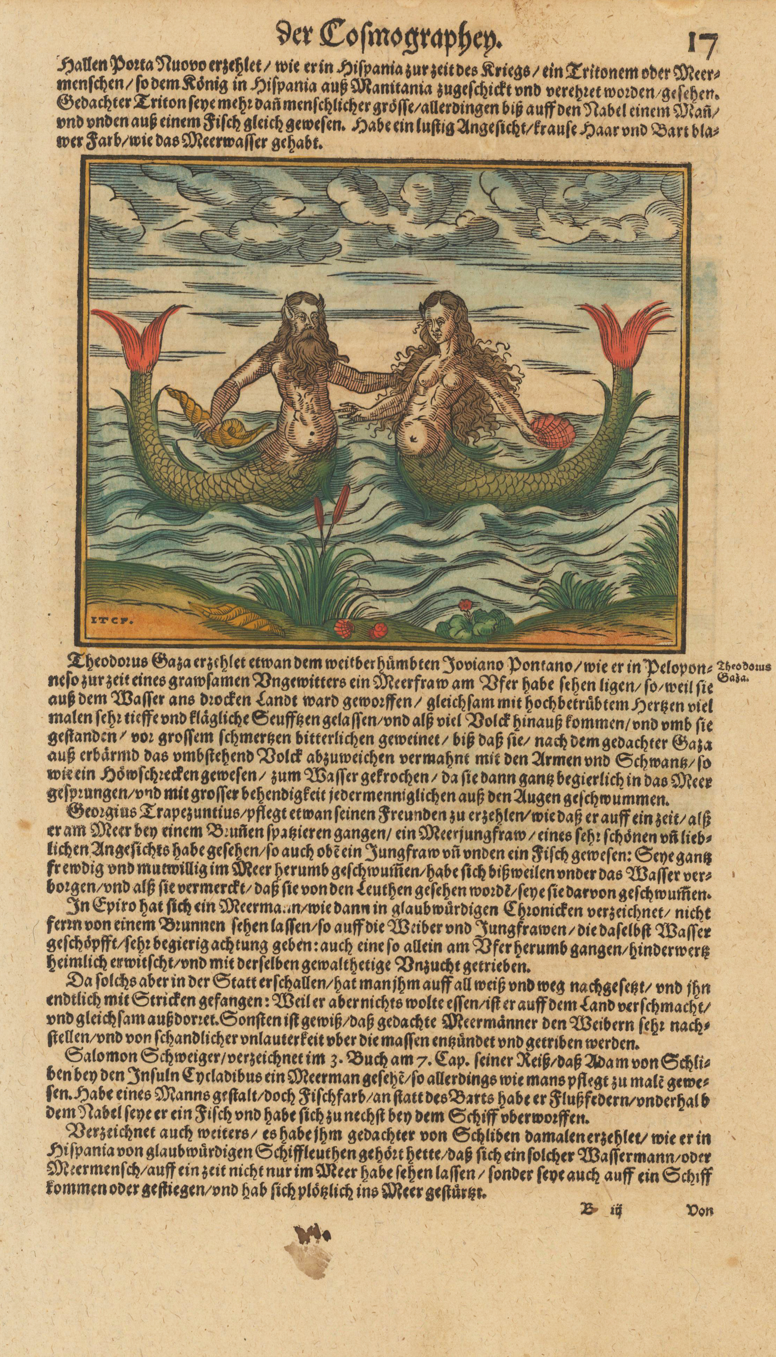
Woodcut map, finely hand colored in wash by a later hand. Decorative hand colored woodcut map, published in a German text edition of the 'Cosmographia' by Sebastian Münster. One side shows a Mermaid and a Merman. On the reverse is a large depiction of a sailing ship with soldiers firing cannons.
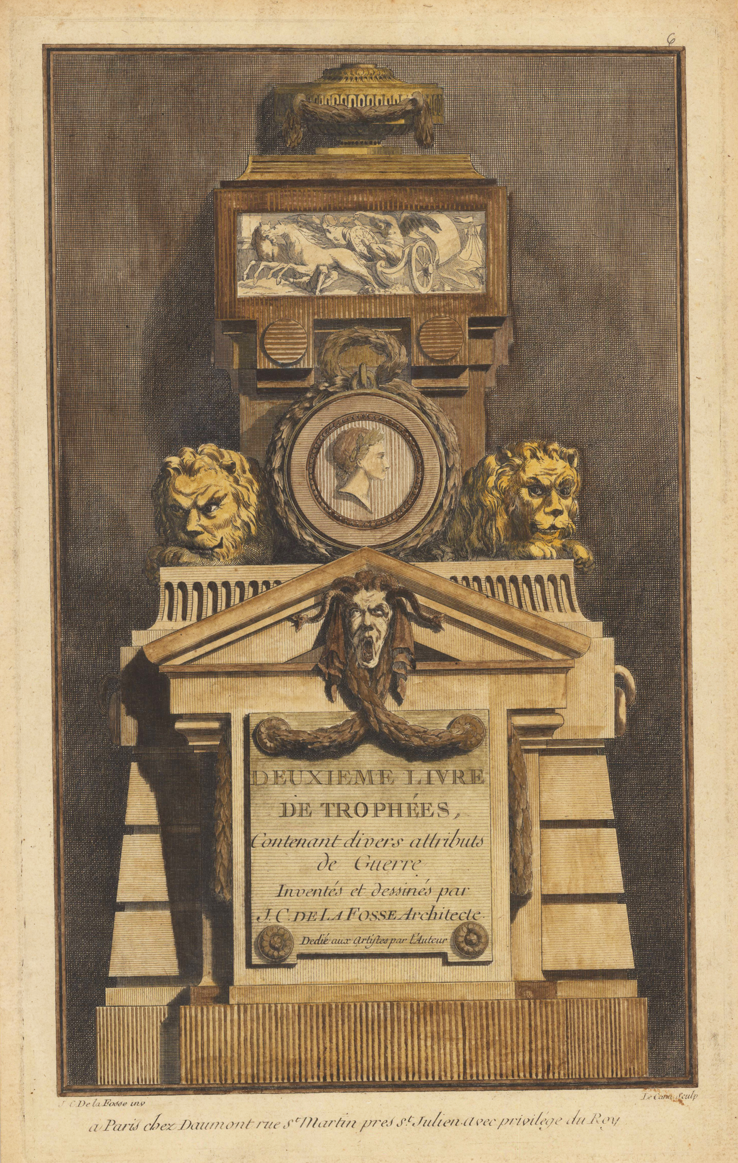
Original antique hand colored title page of an rare album with 30 ornamental prints, published in 6 installments or books with 1st Church, - 2nd War, - 3rd Military, - 4th Shepherd Trophies, - 5th Trophies of Hunting and Fishing, and - 6th Trophies of Music and Love. Delafosse's work of the early 1760s was fundamental to the development of the neoclassical architectural style that was emerging by the time of Louis XVI. connected is.
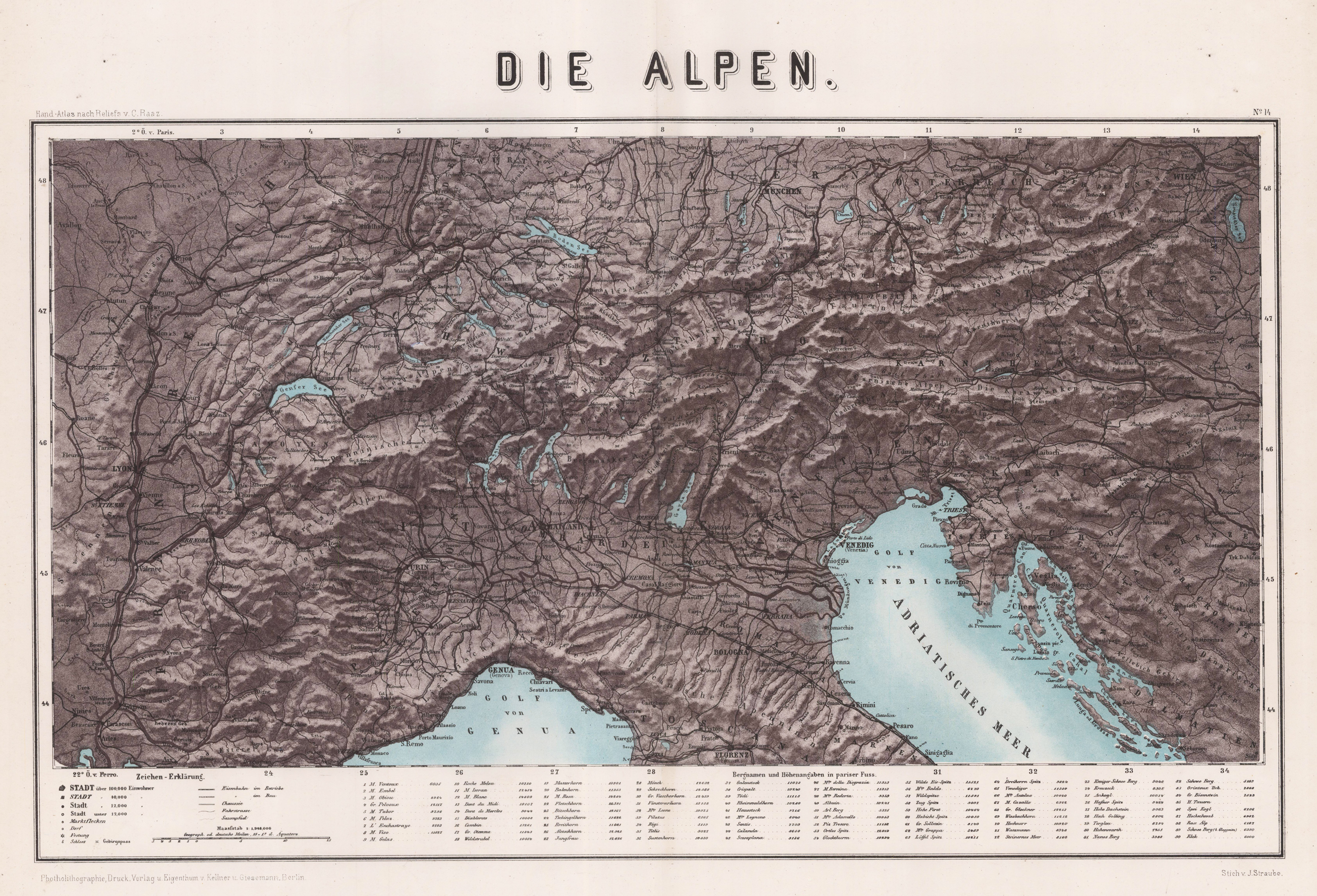
Original Lithograph, printed in colors. Map of the Alps by J. Straube. Depicted are the Alps with the Gulf of Venice and the Gulf of Genua. On the left side is the french part, in the lower middle the italian part, in the upper middle the german and austrian part and on the right side are Hungary, Croatia and the Turkey. City and place names as well as rivers, lakes and other bodies of water are listed in detail, as well as the military lines. Below the map is an explanation of symbols in German as well as the mountain items and altitude information in Parisian feet. Scale 1: 1,984,000 in German miles.
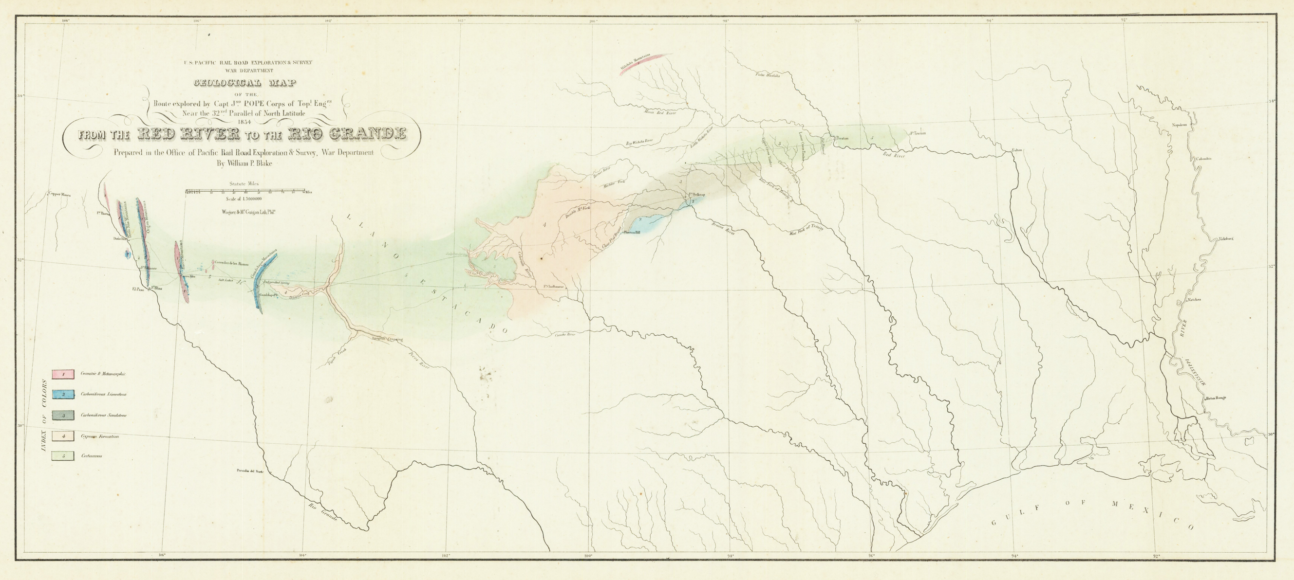
Original lithograph, hand colored in wash when published. This early geological map depitcs the Witchita Mountains in the north, El Paso in the west to the Missisippi River in the east and the Gulf of Mexico in the south. At the left side with find a color explanation key for the various geological formations. On the upper left side is the cartouche with the mileage scale. This geological map was prepared to accompany Blake's report of the transcontinental railroad.
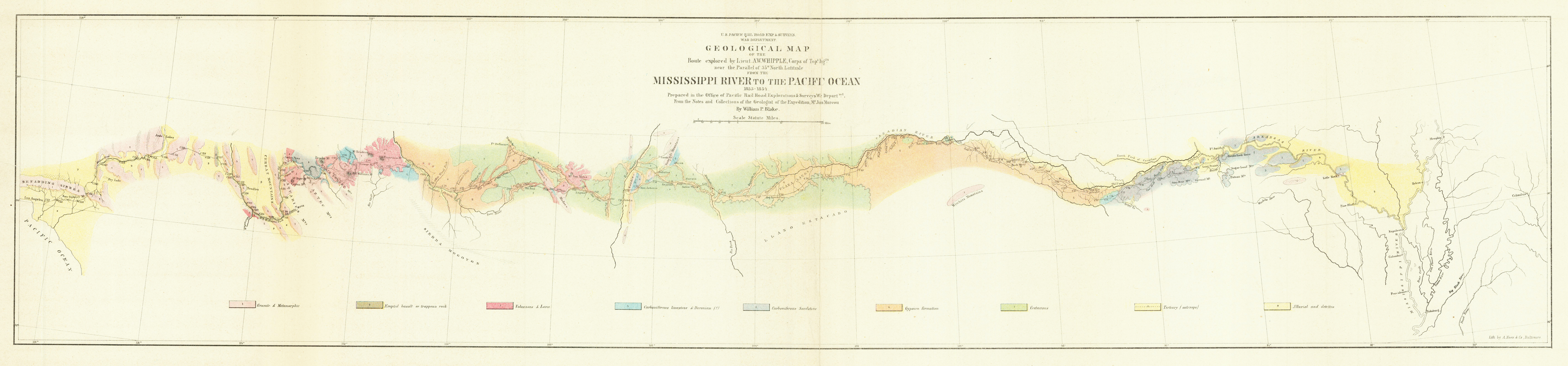
Original lithograph, hand colored in wash when published. This early geological map depitcs the Mississippi River to the Pacific Ocean. On the upper side is the title with the mileage scale. A talbe of content with ten different types of stones is on the upper left side of the map. This geological map was prepared to accompany Blake's report of the transcontinental railroad.
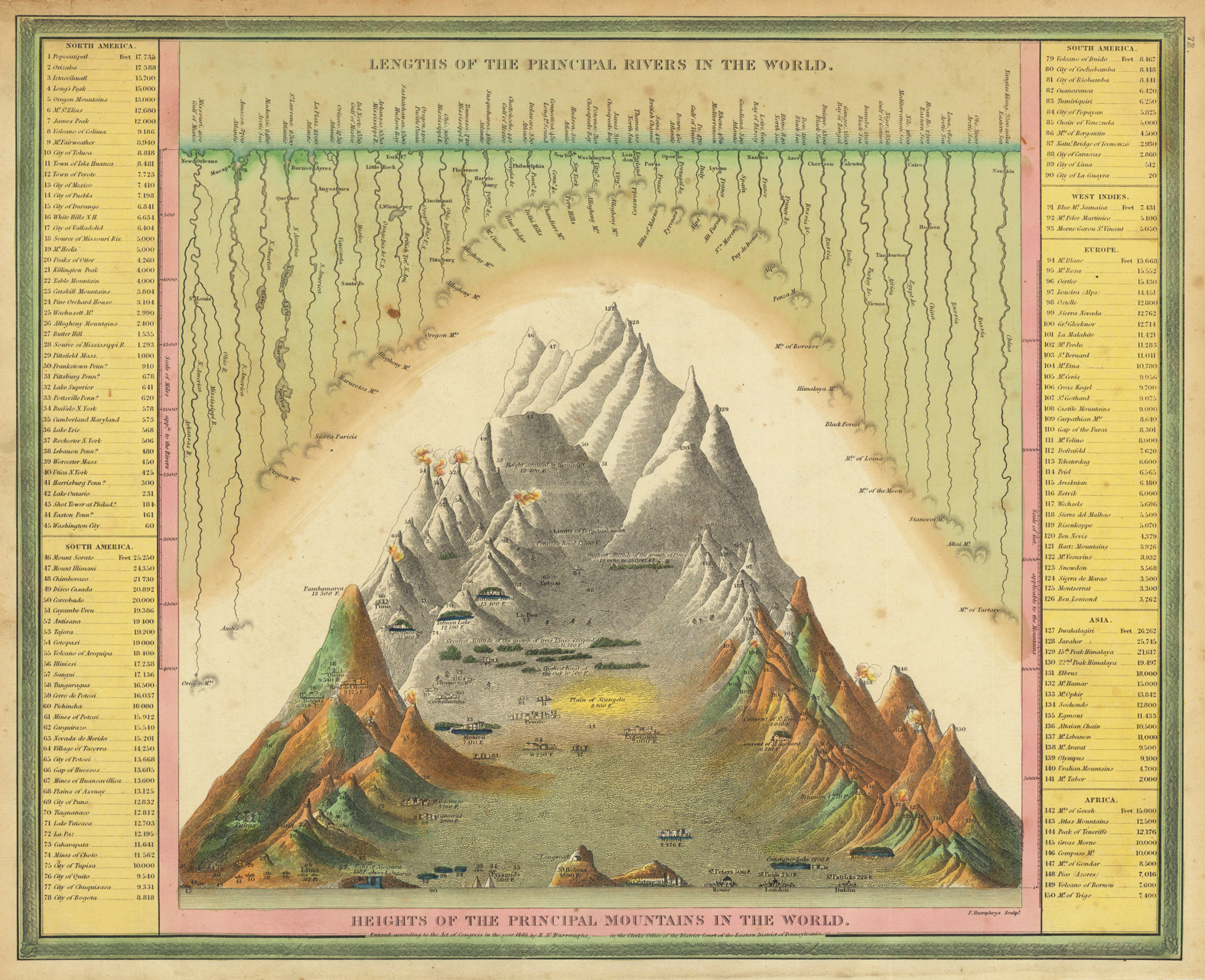
Engraved map, hand colored in outline and wash when published. A highly interesting antique map showing the principal mountains and rivers of the world. Left and right side with given elevations of cities, mountains, rivers, volcanoes, mines, etc. Very colorful hand colored and rich in fine engraved details. This map was published 1846 in Philadelphia by Samuel Augustus Mitchell in his atlas ,A New Universal Atlas containing maps of the various Empires, Kingdoms, States and Republics of the World'. Samuel Augustus Mitchell was starting around 1831 his business as a publisher of atlases and folded maps. Around 1845 he was aquiring the rights from Henry S. Tanner's famous ,New Universal Atlas' from Carey & Hart, who had already the copyright from Tanner in posession. Samuel August Mitchell changed many of the maps, also the printing technique to lithography and published then his atlas in 1846. The atlas was carried on with changes in the maps in several editions until 1850. Then the rights were sold on to Thomas, Cowperthwait & Co.