Copper-engraving, handcolored in wash and outline. The scene shows two inhabitants (Indians) of Florida around 1700. Probably depicted from scenes of earlier voyages to Florida.
Copper engraving published in Allain M. Mallet's description of the world 'Description De L' Univers, Contenant Les Differents Systemes Du Monde, Les Cartes generales & particulieres ...'. French text edition with additional German titles on top. The scene shows two inhabitants (Indians) of Florida around 1686. Probably depicted from scenes of earlier voyages to Florida.
Copper engraving, hand colored in wash and outline. The decorative print is showing native Indians (the Huron tribe) at a fire place, in the background the Indians are hunting deer.
Copper engraving published in Allain M. Mallet's description of the world 'Description De L' Univers, Contenant Les Differents Systemes Du Monde, Les Cartes generales & particulieres ...'. French text edition with additional German titles on top. Decorative scene depicting Huron Indians in the woods.
Original copper engraving, uncolored. Published in Pierre Du Val's atlas ,Anderer Theil der allgemeinen Weltbeschreibung von Europa' (German edition Nürnberg at Johann Hoffmann & Christoph Gerhard.
Copper engraving published in Allain M. Mallet's description of the world 'Description De L' Univers, Contenant Les Differents Systemes Du Monde, Les Cartes generales & particulieres ...'. French text edition with additional German titles on top. Decorative map depicting Florida around 1686, published in Allain Manesson Mallet's description of the world. the interesting map shows Florida with its northern neighboring regions up to the Appalachian mountains.
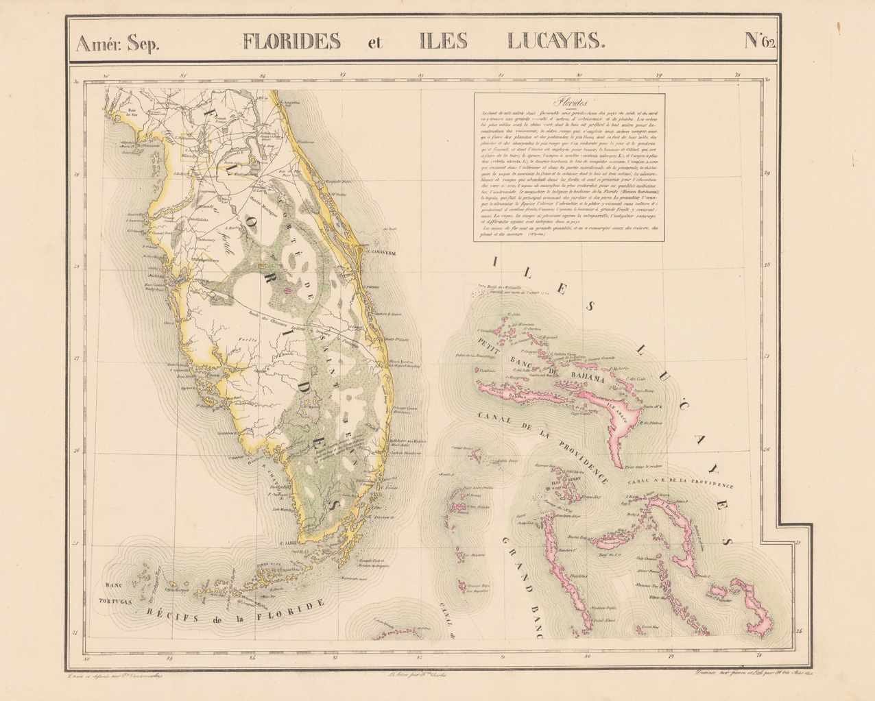
Steel engraving, hand colored in outline. A very decorative map which shows Florida. The map has an inset map in the lower left corner which shows Western Florida with the 'Gulf of Mexico'. The map is equipped with many place names, rivers, the lake Macaco, etc.
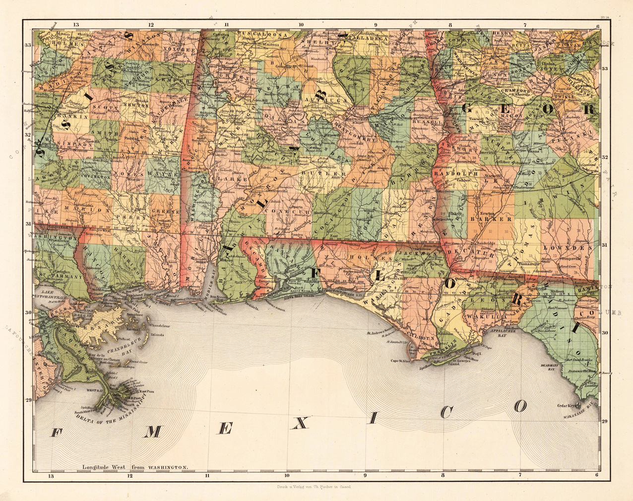
Copper engraving, hand colored in outline. This antique map shows large parts of Florida, Carolina and Louisiana. In the north east of this decorative old map is Virginia, Maryland and New Jersey engraved. A beautiful cartouche and the mileage scale is in the lower right corner. This rare map shows the Eastern seaboard from the Delaware Bay south to Florida and includes also New Orleans and the northern part of the gulf of Mexico.
Copper engraving, uncolored as published. Rare early view of the battle at Lexington (19 April 1775), Massachusetts. The view appeared in Nicolas Ponce and Francois Godefroys 'Recueil d'estampes représentant les différents événements de la guerre qui a procure l'indépendance aux Etats unis de l'Amérique' first published in Paris in 1783.