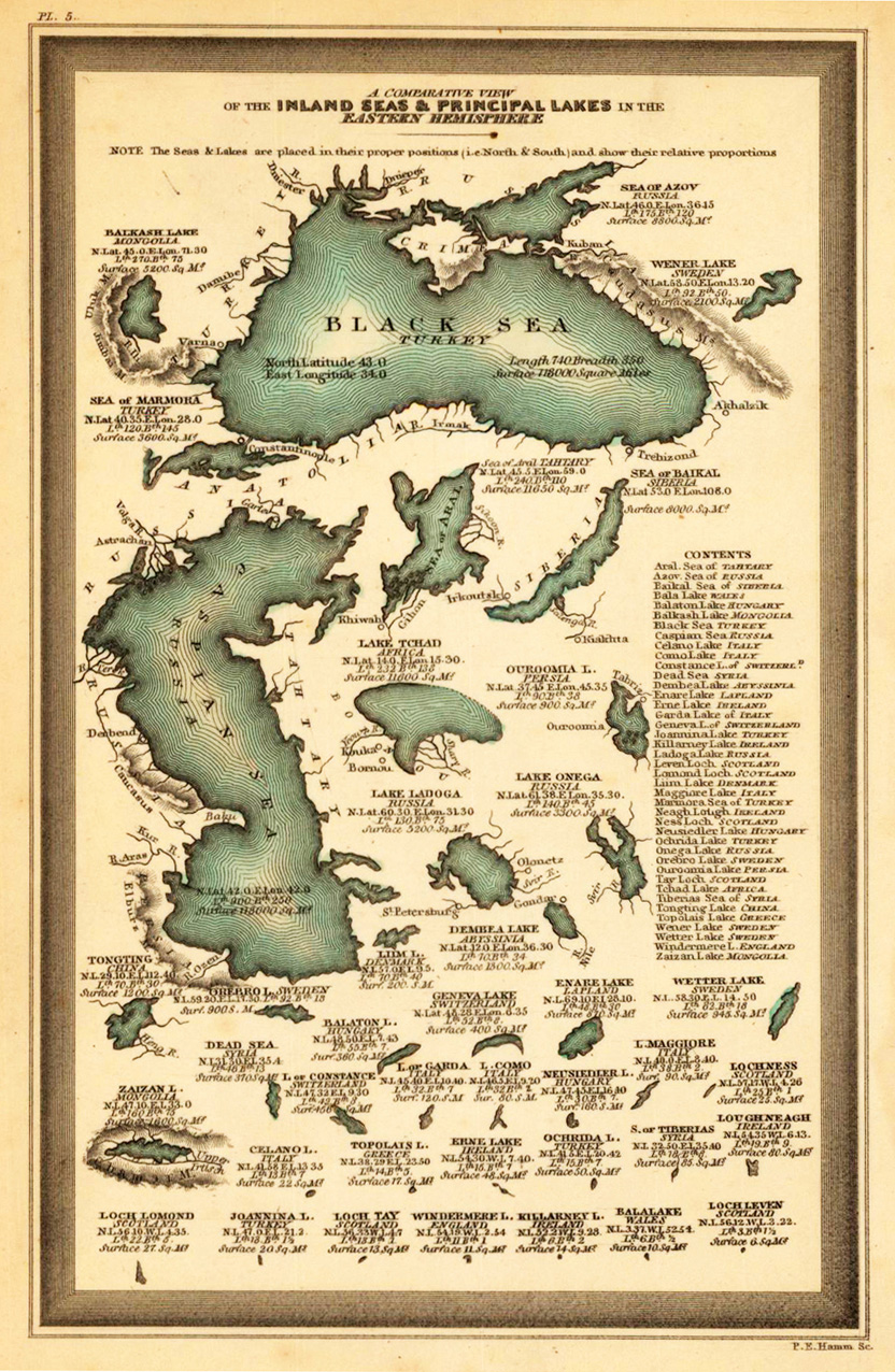
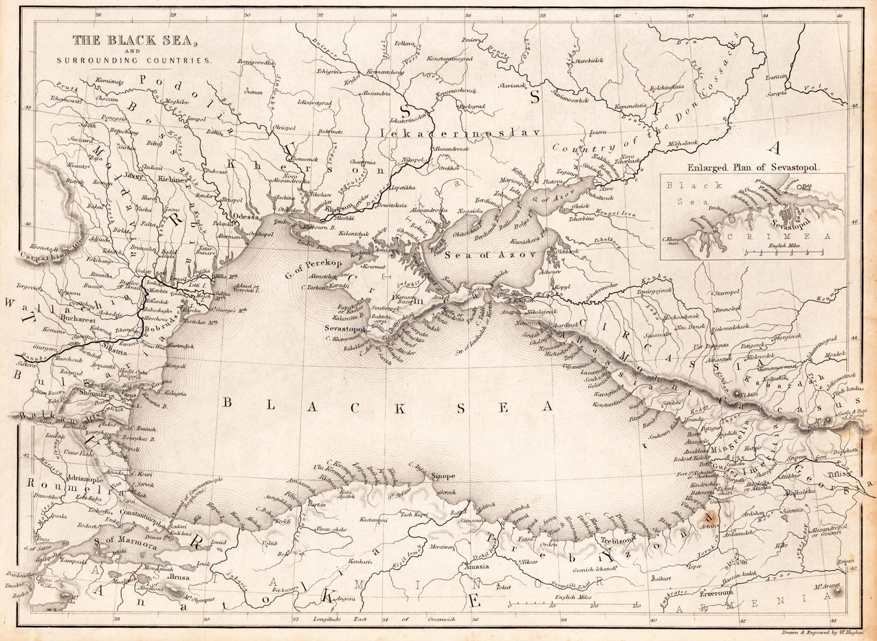
Steel engraving, uncolored as published. Detailed map of the Black Sea and its surrounding countries, published in William Beattie's Danube around 1844-50.
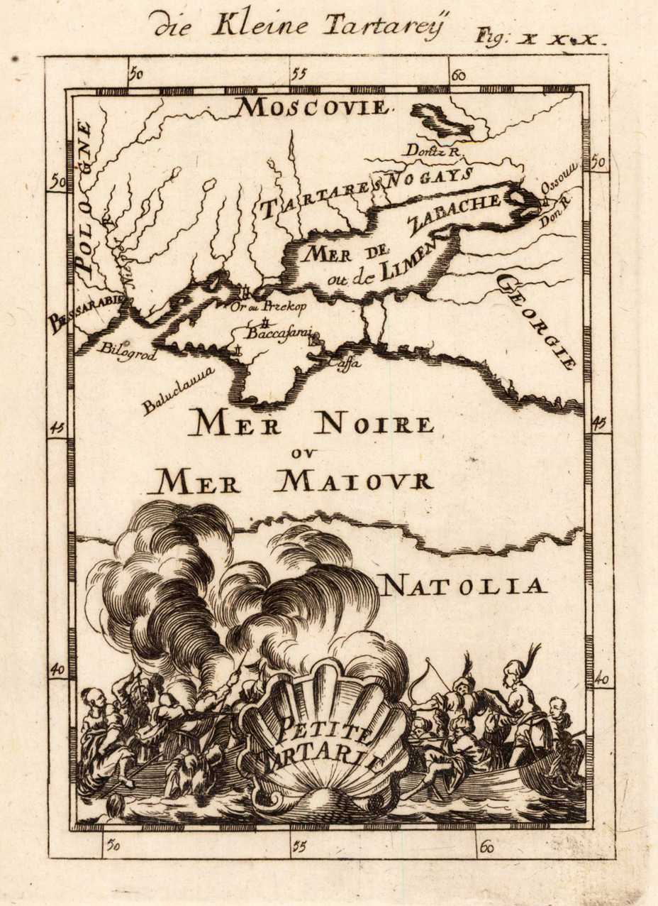
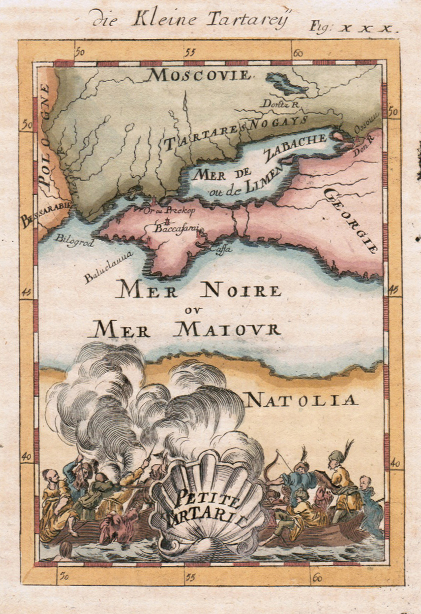
Copper engraving, uncolored, published in Allain Manesson Mallet's description of the world. This antique map shows us the map from the Tartarie. In the foreground we look to a war in the water between peoples on board.
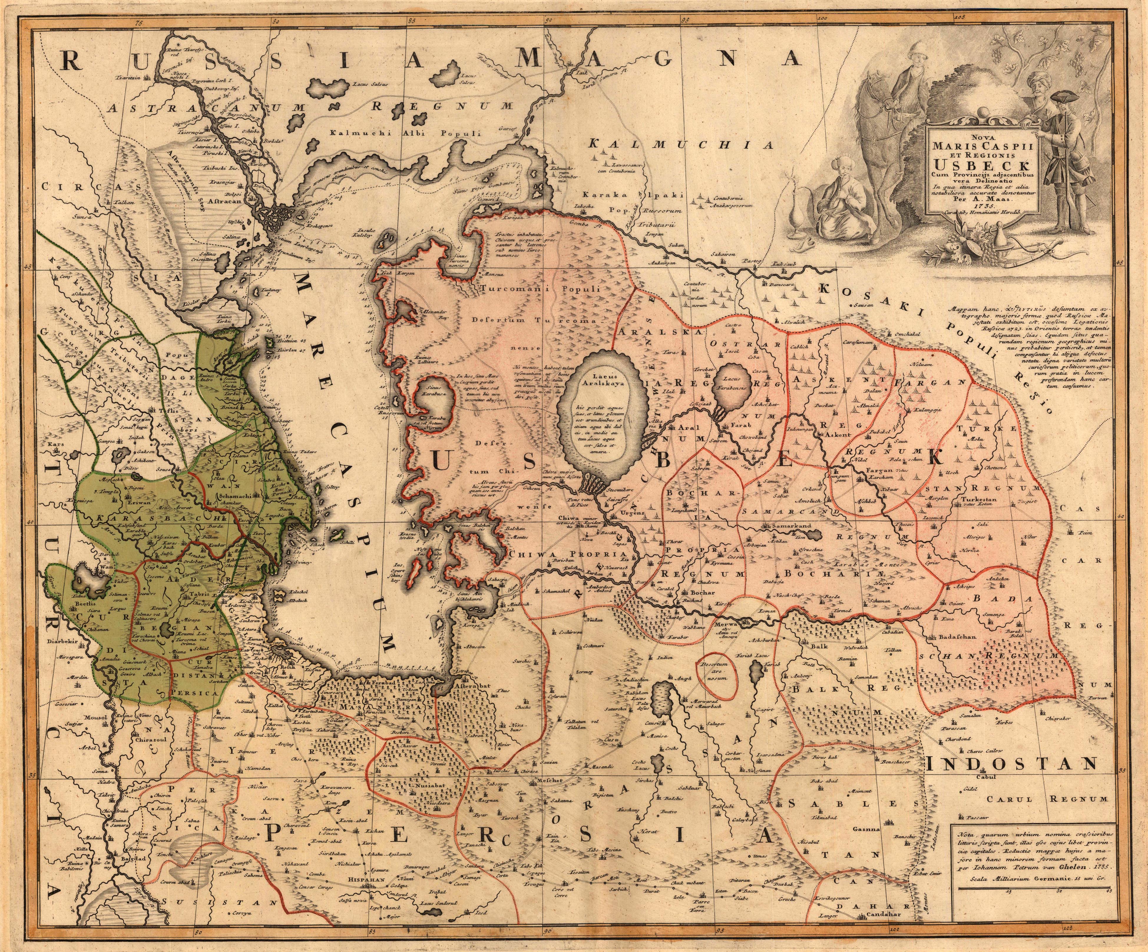
Original copper engraving hand colored in wash and outline, when published. Large decorative and detailed map of the Caspian Sea and a part of the Black Sea with the peninsula Crim.. A detailed map showing many small cities, rivers, mountains and streets as well. Ornated in the lower right corner with a large decorative allegoric title cartouche and mileage scale.
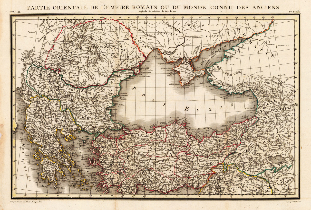
Copper engraving, hand colored in outline when published. Eastern part of the Roman Empire showing showing prominently the Balkan, Asia Minor, the Black Sea and the Ukraine.
Copper engraving, hand colored in wash and outline, published in the German text edition of Allain Manesson Mallet's description of the world. Small decorative map depicting parts of Georgia and the Black Sea.
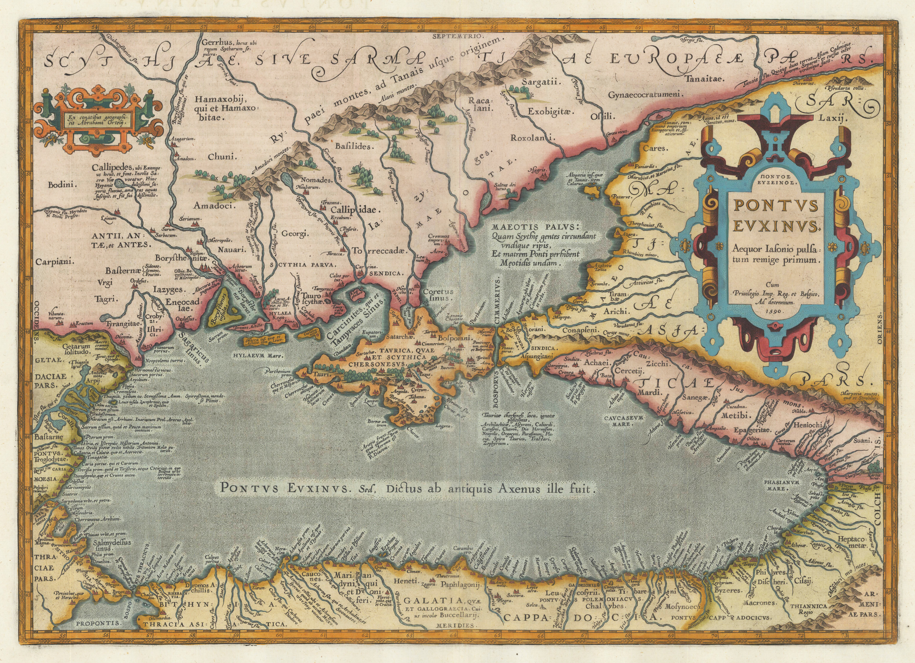
Original copper engraving, published 1612 in the famous historical atlas "Parergon" (Latin text-edition) by Abraham Ortelius. Finely later hand colored in wash and outline. The map is ornated with two cartouches, on the right the title cartouche, with the "privilegium" and small cartouche in the upper left corner. This antique map was published for the first time in 1595 in the edition of the ,Theatrum Orbis Terrarum' and was published until 1624 in the atlas ,Parergon' by A. Ortelius.
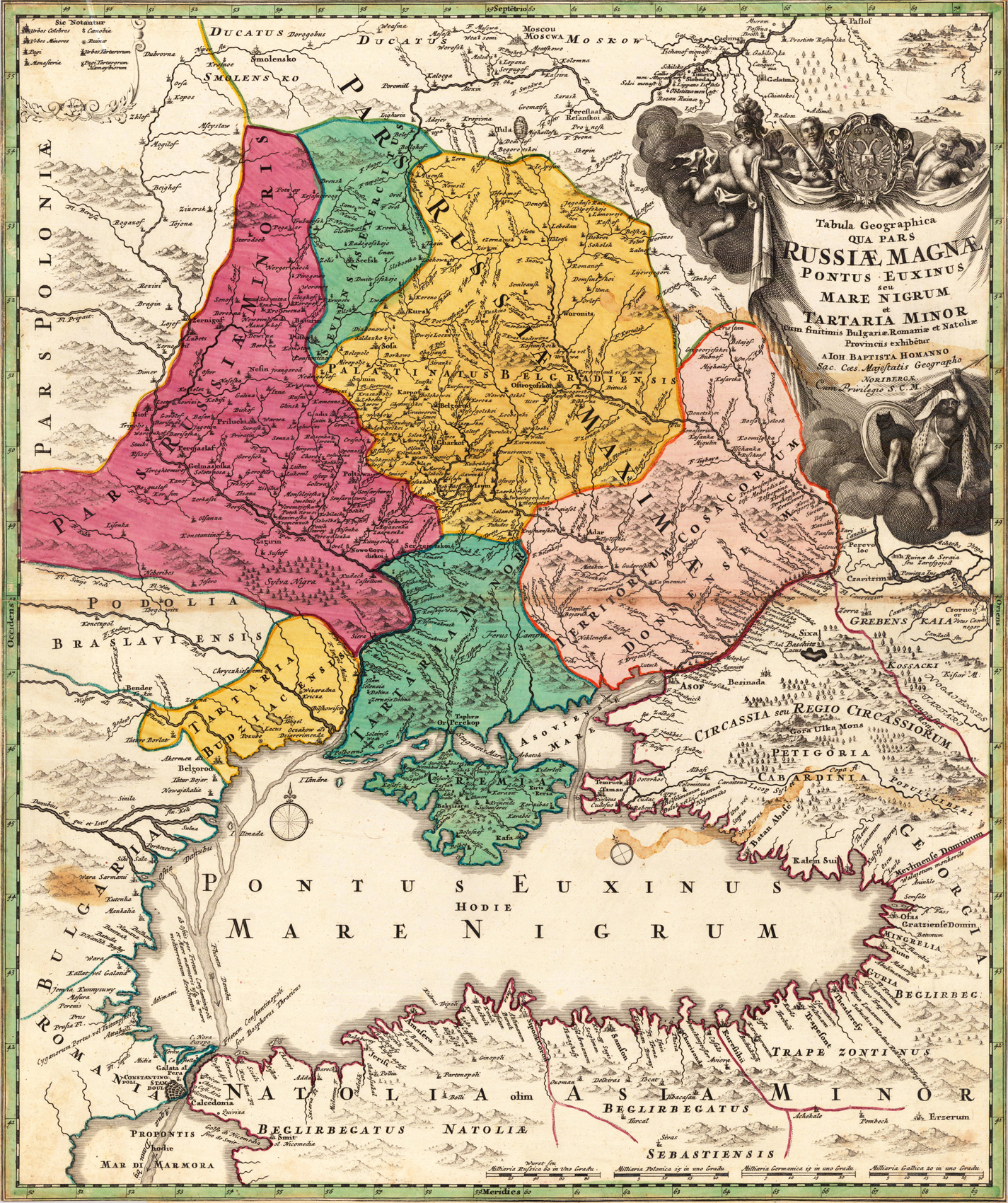
Original copper engraving hand colored in wash and outline, when published. Large decorative and detailed map of the Black Sea and the Ukraine. With many details showing many small cities, rivers and mountains as well. Ornated in the upper right corner with a large decorative allegoric title cartouche.
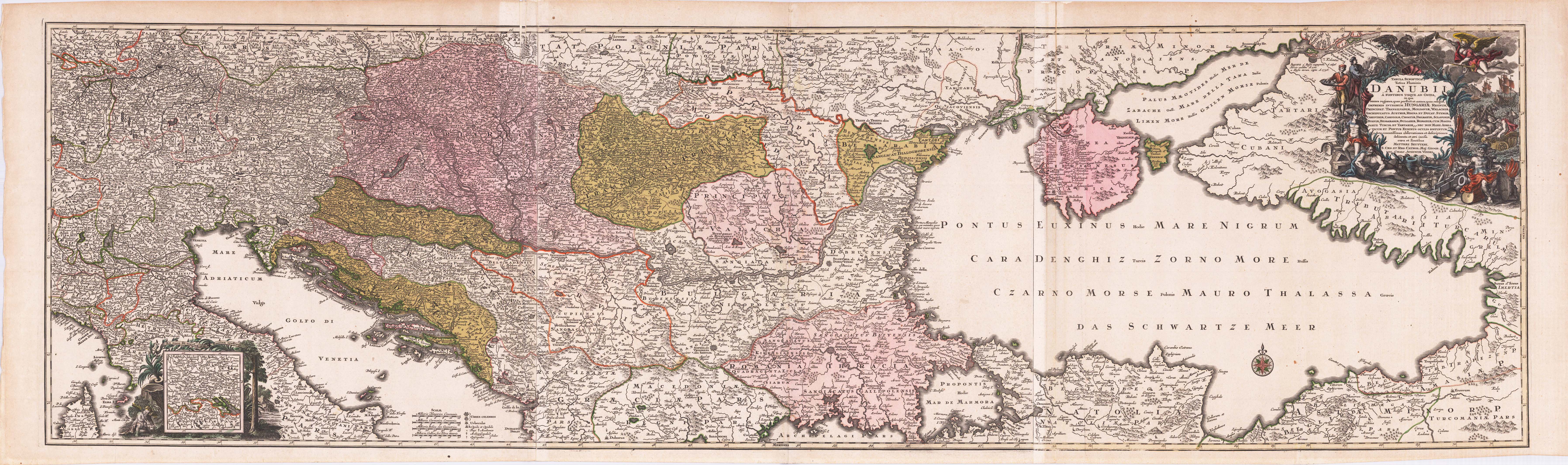
Copper engraving, handcolored in outline and wash when published. Course of the river Danube printed from three plates; published by Matthäus Seutter around 1720 in Augsburg. This antique map is depicting the course of the Danube from the source to the estuary in the Black Sea, the copper engraving consists of three separate plates combined together to display the complete large map of the river Danube. With many place names and details like streets, woods, mountains, rivers, lakes etc. In the upper right corner with a large decorative allegoric title cartouche. In the lower left corner a mileage scale, below with a table of explanations, further with a small inset map showing the area of the source of the river Danube. Old colored as published, the three plates joined together partially with small creases or minor losses. Matthäus Seutter (September 20, 1678 – March 1757) was one of the most important and prolific German map publishers of the 18th century. Seutter started his career as an apprentice brewer. Apparently uninspired by the beer business, Seutter left his apprenticeship and moved to Nuremberg where he apprenticed as an engraver under the tutelage of the prominent J. B. Homann. Sometime in the early 18th century Seutter left Homann to establish his own independent cartographic publishing firm in Augsburg. Though he struggled in the early years of his independence, Seutter's engraving skill and commitment to diversified map production eventually gained him a substantial following. Most of Seutter's maps were heavily based upon, if not copies of, earlier work done by the Homann and Delisle firms.[citation needed] By 1732 Seutter was one of the most prolific publishers of his time and was honored by the German Emperor Charles VI with the title of,Imperial Geographer'. Seutter continued to publish until his death, at the height of his career, in 1757. The Seutter firm continued under Seutter's wastrel son Albrecht Carl until his death in 1762. Following Albrecht's death, the firm was divided between the established Probst firm and the emerging firm of Tobias Conrad Lotter. Lotter, Matthäus Seutter's son in law, was a master engraver and worked on behalf of the Seutter firm. Lotter would eventually become one of the most prominent cartographers of his day.
Steel engraving, uncolored as published. Detailed map of the Black Sea and its surrounding countries, published in William Beattie's Danube around 1844-50.