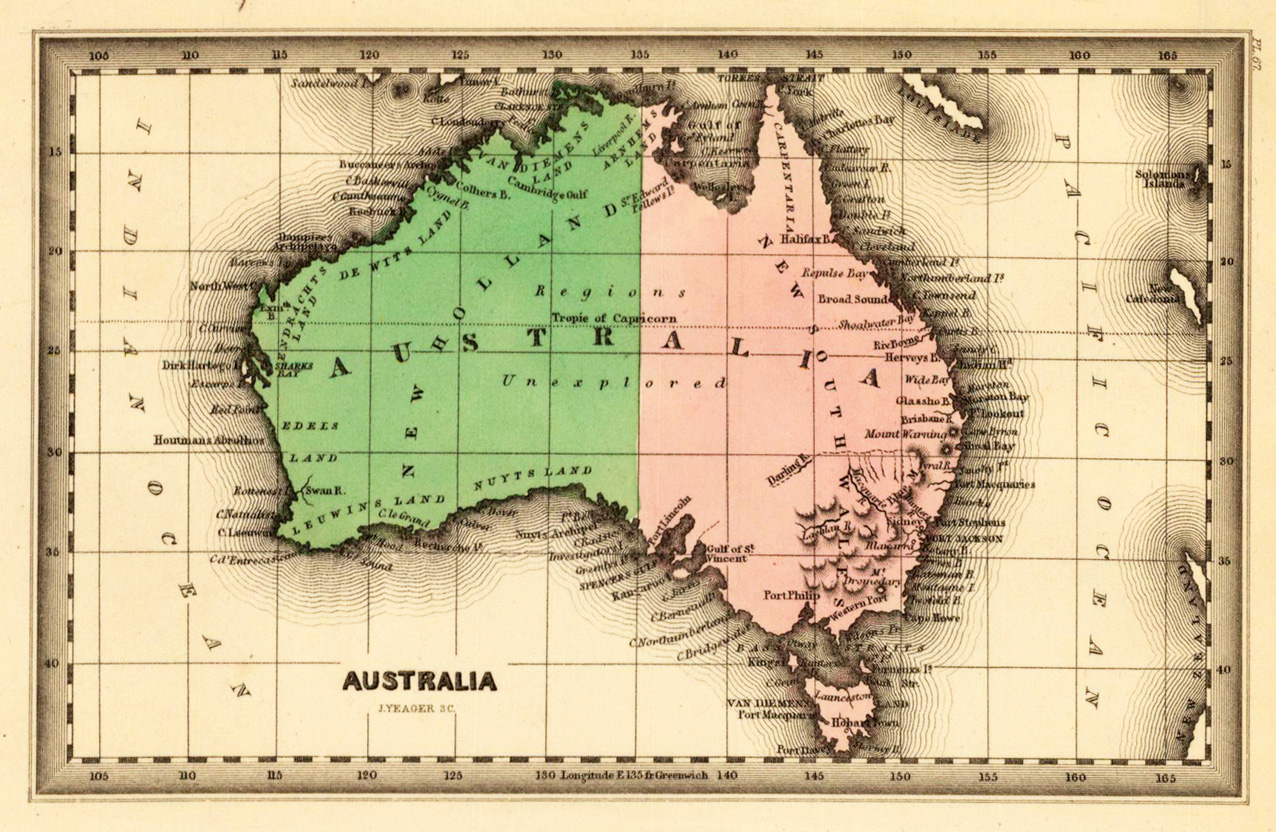
Steel engraving, hand colored in outline and wash when published. Engraved by Yeager, J. This fine small engraved old map shows Australia. This rare antique original map was published by Carey & Lea in Philadelphia in a small pocket atlas. Detailed engraved with place names, rivers and mountain chains.
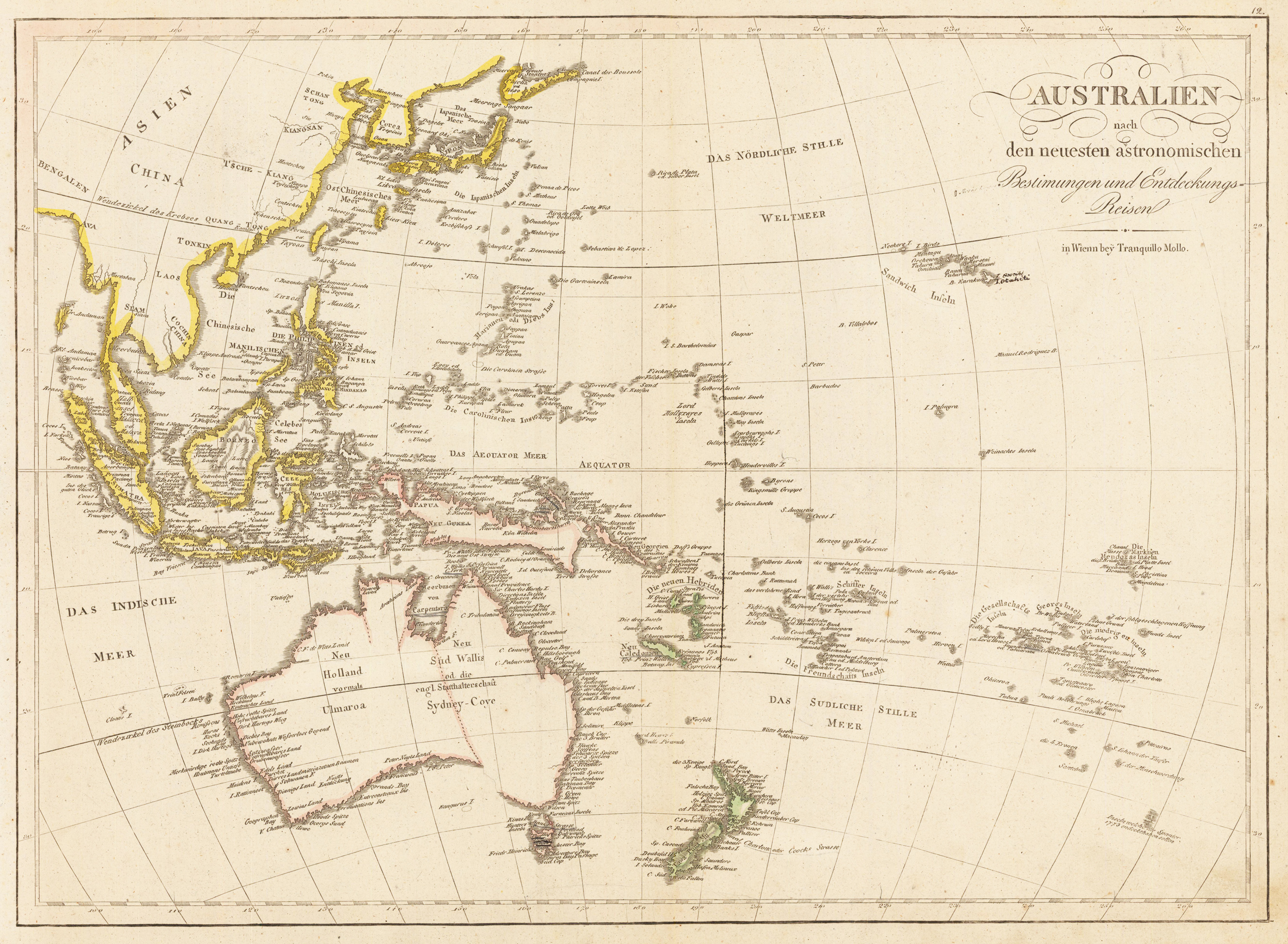
Copper engraving, hand colored in outline when published. This detailed map shows Australia, Newsealand, Tasmania, Papua New Guinea, New Caledonia, the 60 isles of the New Hebrides, the Sandwich islands, Sumatra, Java, Borneo, the Phillipines, Malaysia, Japan, Corea and a part of China.
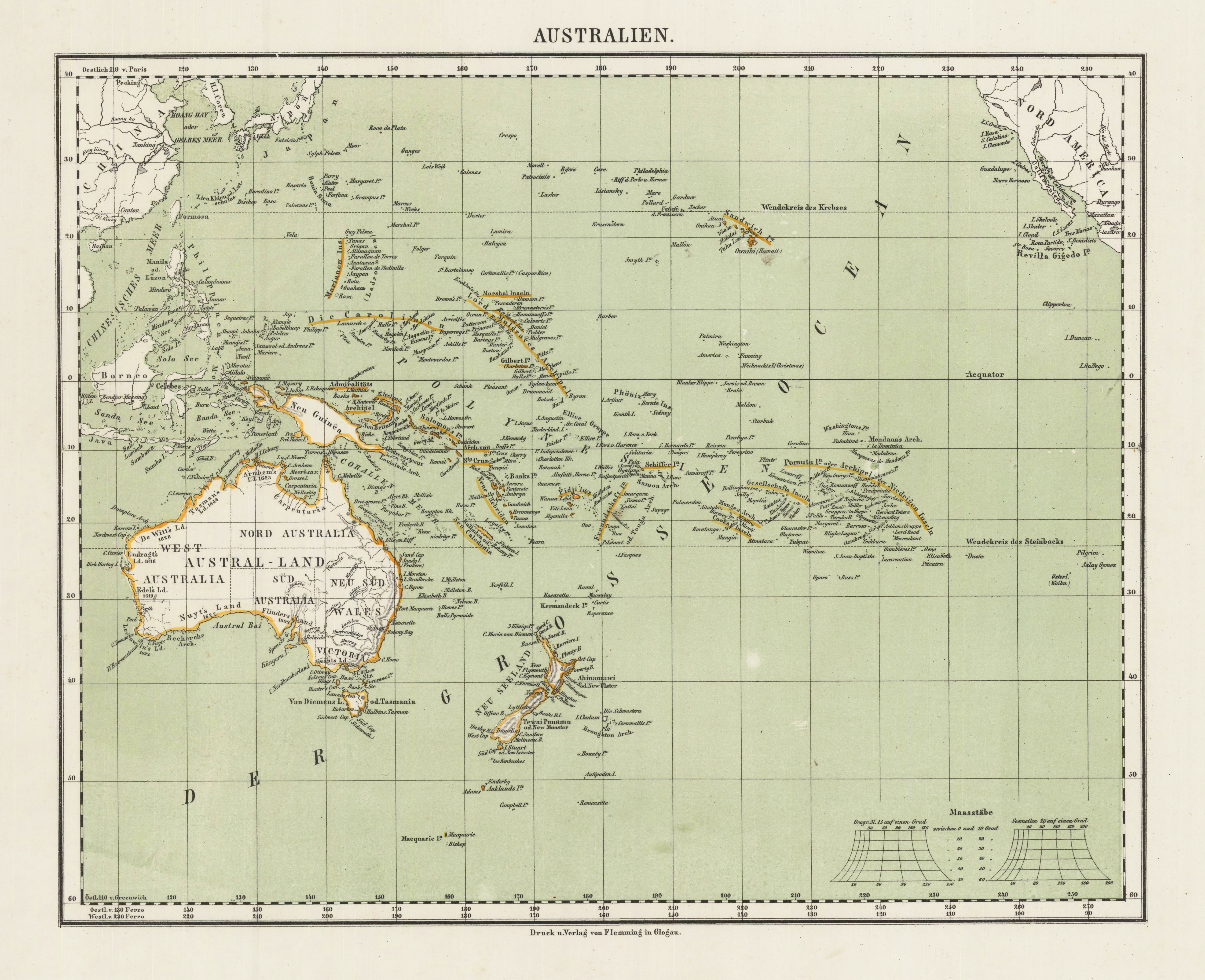
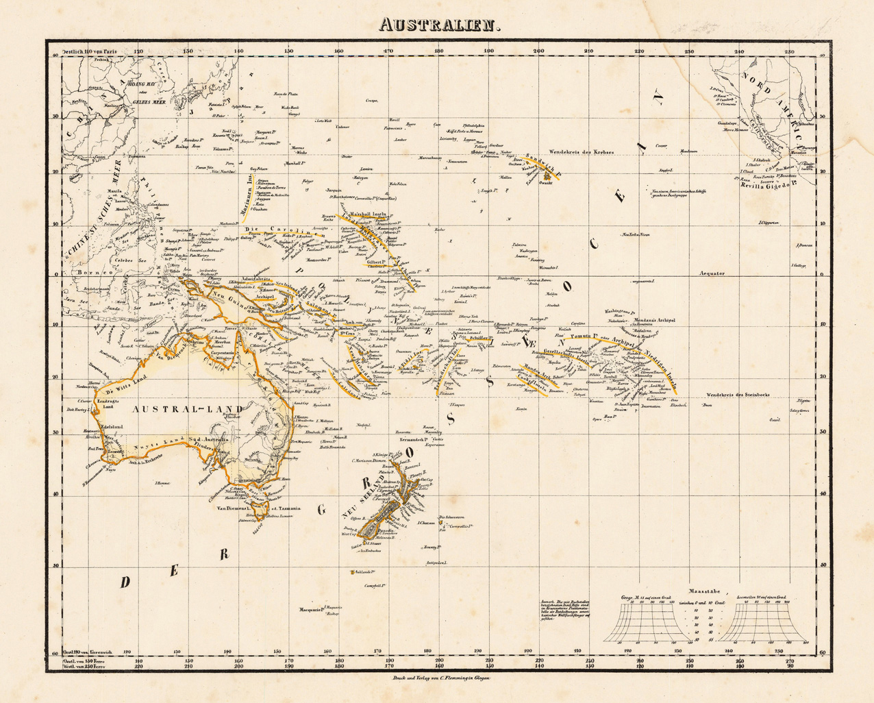
Lithograph, hand colored in outline when published. This map shows Australia with the Pacific Ocean. Inside the map are many place names, rivers, to see. Also the neighbouring land north America and New Sea land.
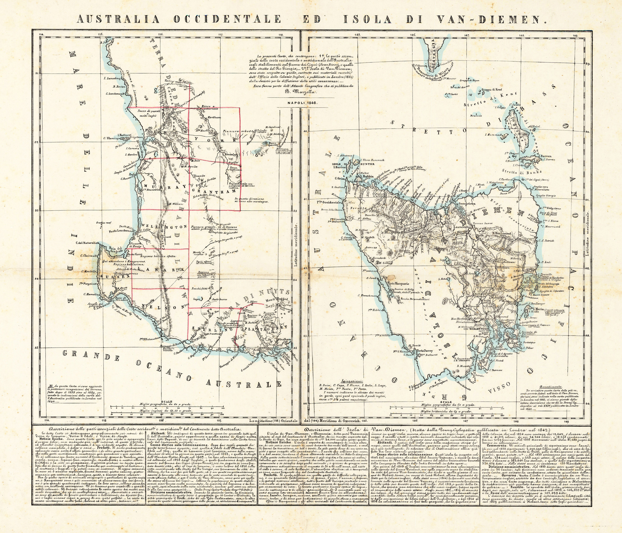
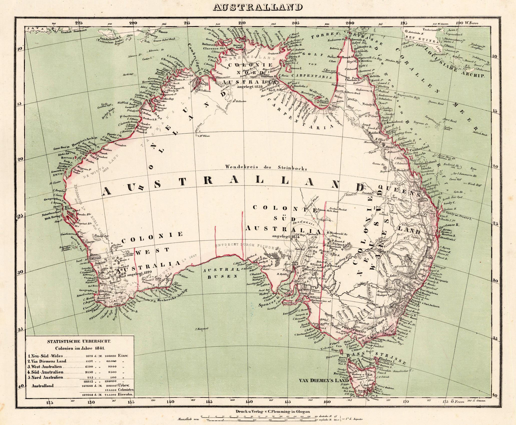
Lithograph, hand colored in outline when published, This decorative map shows Australia around 1845 with Van Diemen's land. In the lowerr left corner a statistic overview with the the colonies of Australia in 1841.
Lithograph, the original green wash colors printed and the outline colors hand colored. This decorative map is depicting Australia around 1860. In the lower left corner we find a statistical table showing elevations, numbers of the various inhabitants of the five colonies in Australia in 1841. With many engraved place names, borders, mountains, rivers, etc.
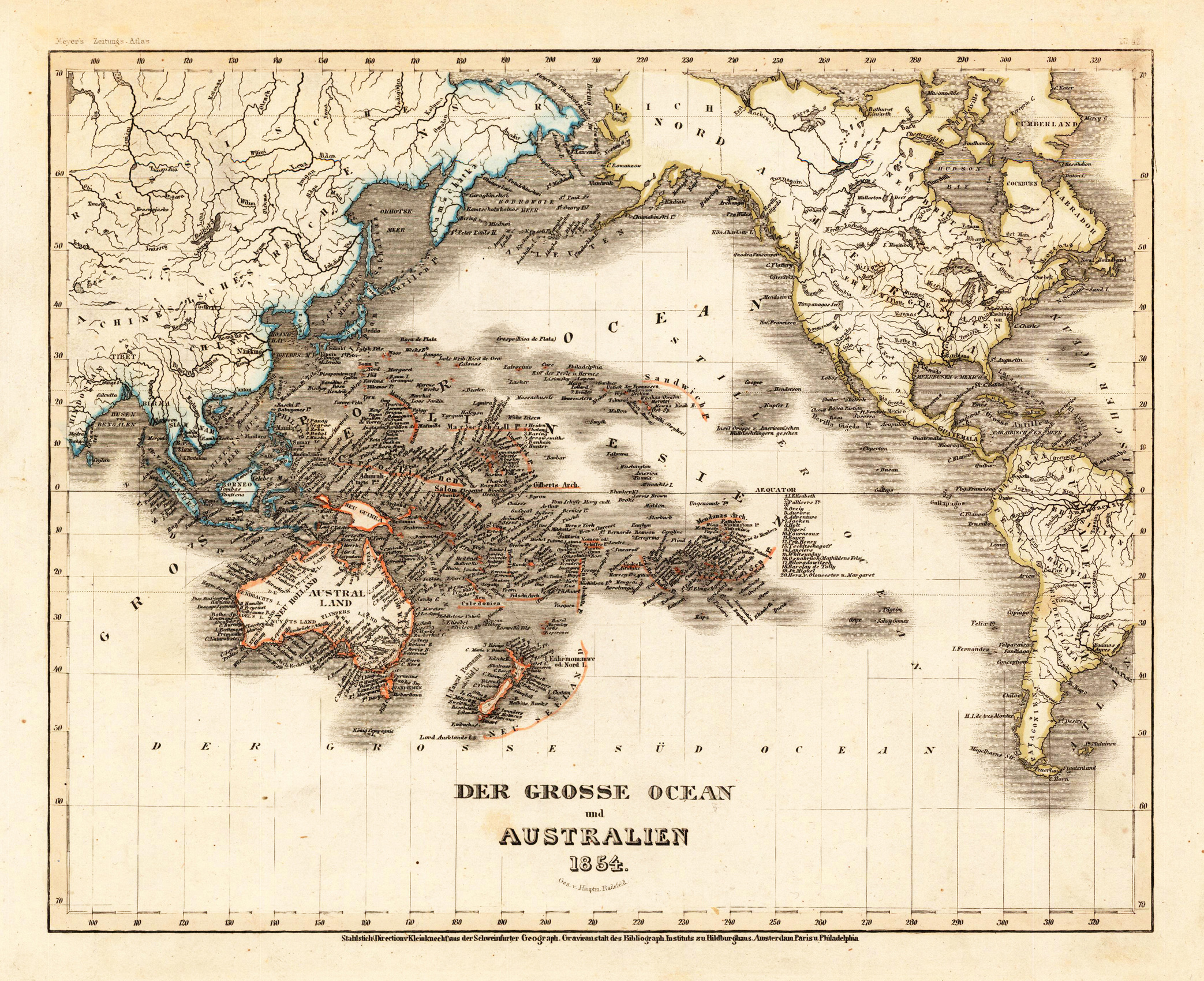
Steel engraving, hand colored in outline when published. A decorative map of Australia and the Pacific Ocean published in Meyer's famous 'Grossen Zeitungsatlas'.
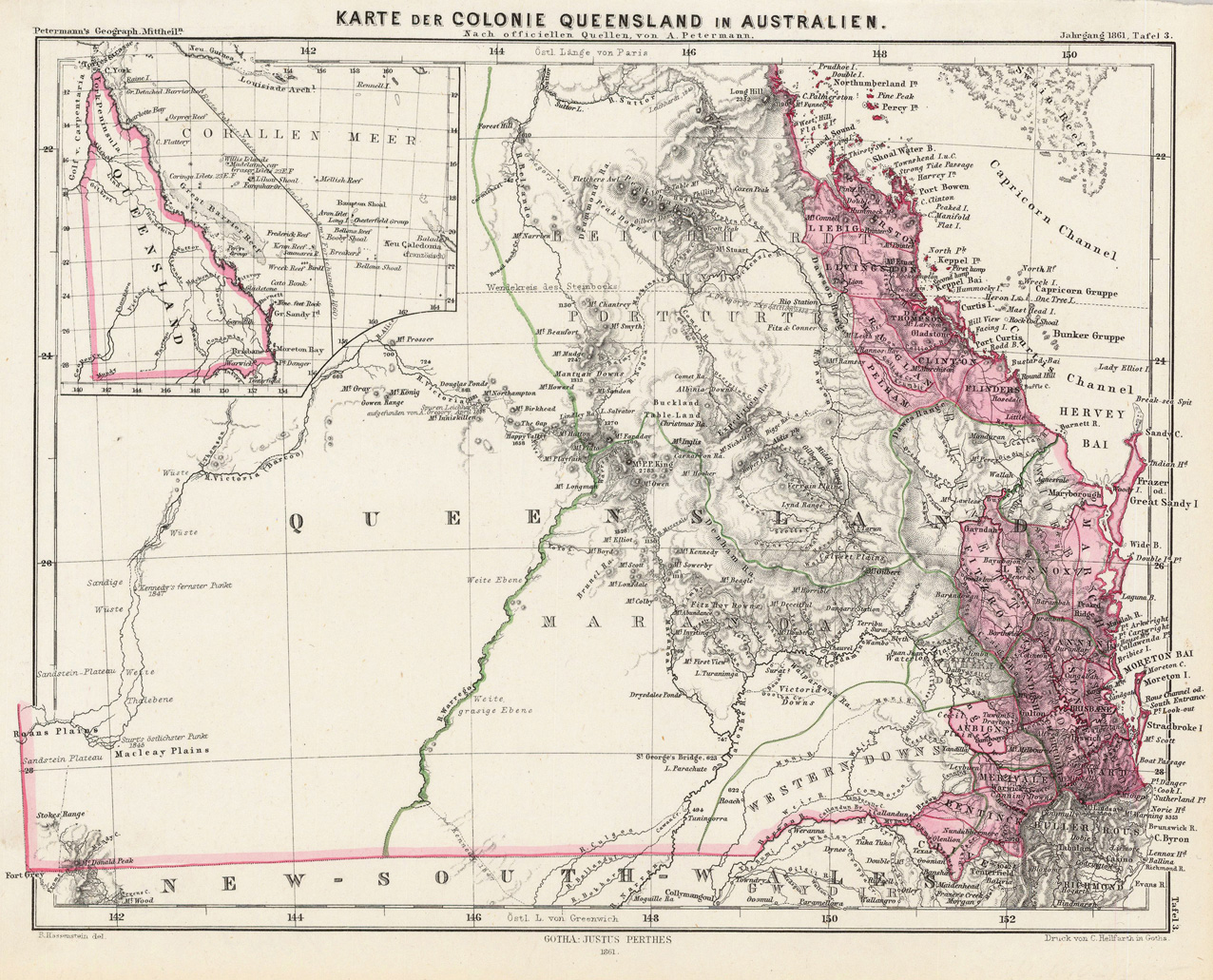
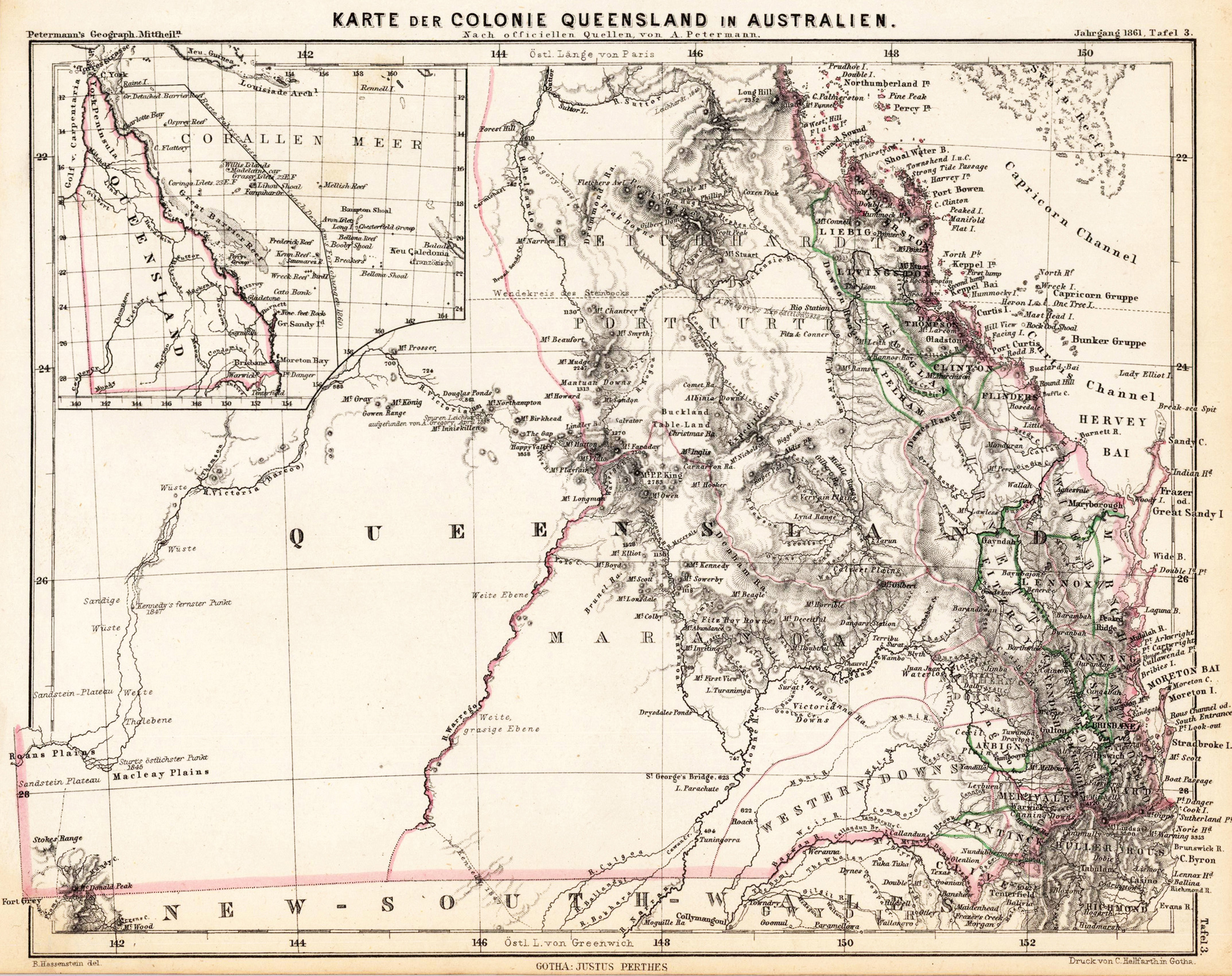
Lithograph, original color as published. This small map is a card from the colonie Queensland in Australia. In the upper left corner is a little map which shows Queensland and the regions.