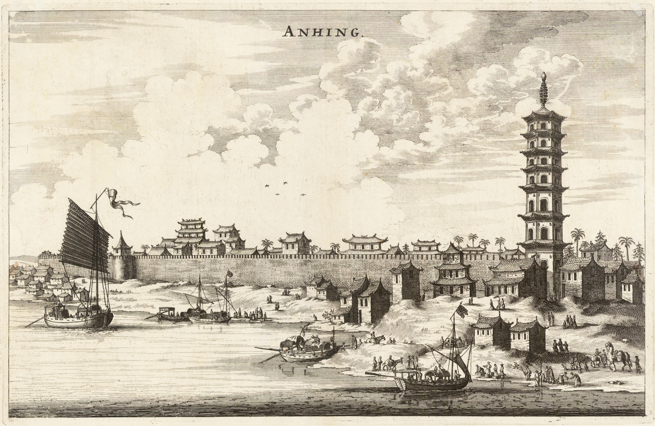
Original antique copper engraving, uncolored. This plaque shows a panoramic view of the Chinese city of Anhing with its city walls. In the foreground are many ships and a pagoda, an Asian place of religious worship. Johan Nieuhof was born in Uelsen, a town in the county of Bentheim, Lower Saxony, sitting just across the Dutch-German border. His father (originally from Zwolle) was mayor of the town, and was later succeeded by one of Johan's brothers and brother-in-law. By the grace of Cornelis Jan Witsen, a leading figure within the Dutch West India Company (or "WIC"), Nieuhof left for Dutch Brazil in 1640 as a reserve officer-candidate. From then on, barring two short family visits in 1658 and 1671, he spent all the rest of his life abroad. Nieuhof was employed in Brazil to explore the regions between Maranhão and the São Francisco Rivers, made a particular study of the neighborhood of Pernambuco. He left Brazil in 1649, after the Portuguese victory in the Second Battle of Guararapes. Upon his return, Nieuhof joined the service of the Dutch East India Company (or "VOC"). In service of the VOC he resided several years in Batavia, and then was appointed in 1654 steward of an embassy to the relatively new Qing emperor China under Peter de Goyer and Jacob de Keyser, which aimed to gain trading rights on China's southern coast. He remained in China until 1657. In 1663 he operated as an ambassador in Quilon, after the occupation of the Malabar Coast by Rijckloff van Goens. During this period he visited several chiefs of indigenous tribes in order to secure trade relations with them. Afterwards, he was offered a post on Ceylon where he was stationed between 1663 and 1667. He was imprisoned for seven months because of illegal trade in pearls. Nieuhof was sent to Batavia by Hendrik van Rheede and fired by the Dutch East India Company. On returning to the Indies from a trip home in 1672, he stopped on the isle of Madagascar. On October 8 1672, Nieuhof traveled inland along with the first mate, in search of the local tribes in order to trade with them, as well as secure water for his crew. Upon hearing several gunshots, the captain sent a second ship towards the island in order to await Nieuhof's return. After three days of waiting, the captain presumed Nieuhof and his company to be murdered and sailed onwards towards Mauritius. On order of the governing council in Amsterdam, a ship was sent from the Cape of Good Hope to retrieve Nieuhof and his fellows, but no trace of them could be found. (Wikipedia)
Copper engraving, uncolored as published. A fine detailed and interesting map engraved by Bellin after earlier voyages. Published in the German edition by Schwabe in Leipzig of Bellin's travel books.
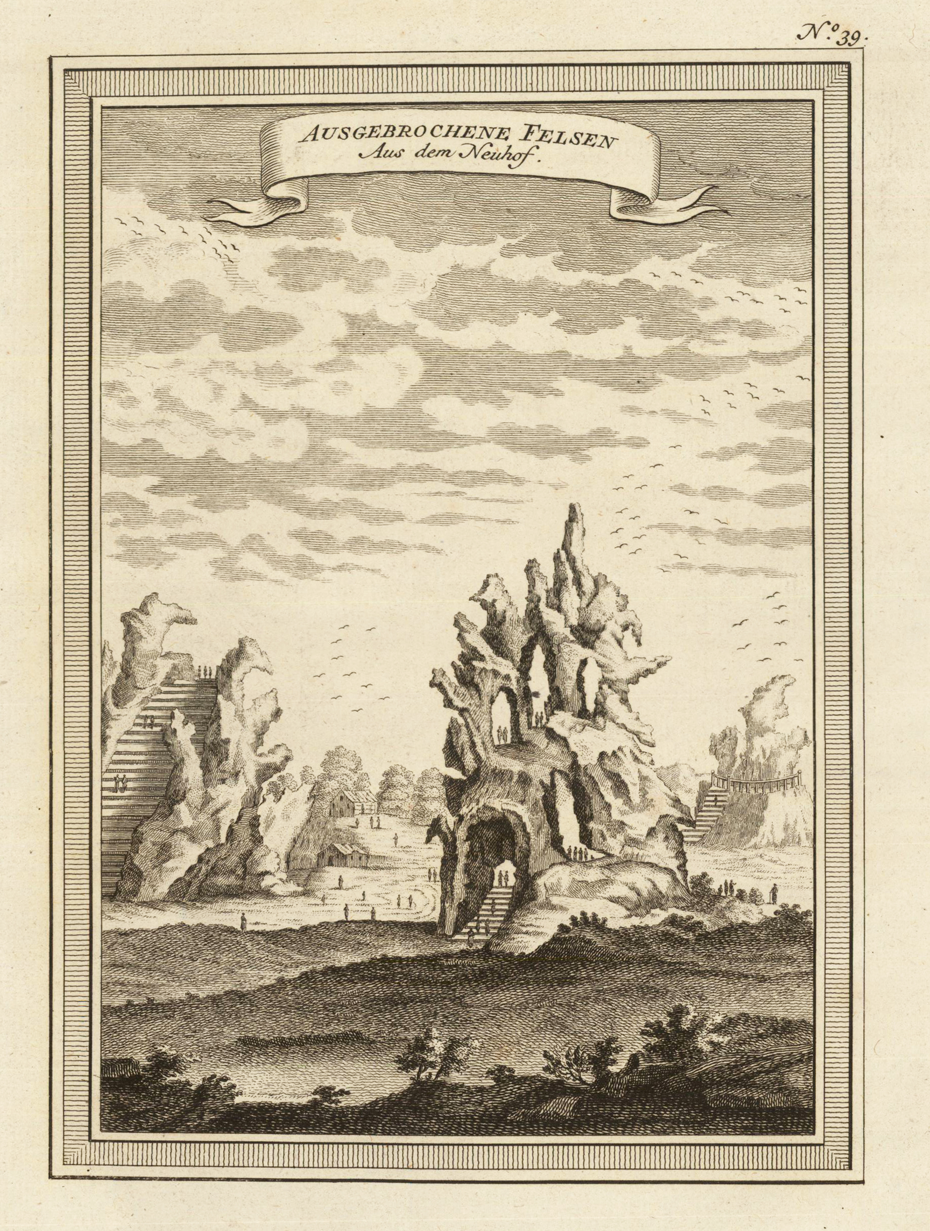
Copper engraving, uncolored as published. A fine detailed engraved landscape with the large broken rocks (probably near Nanjing, province Jiangsu). Engraved after the earlier voyages by Bellin. Published by Schwabe in Leipzig in the German edition of Bellin's travel books.
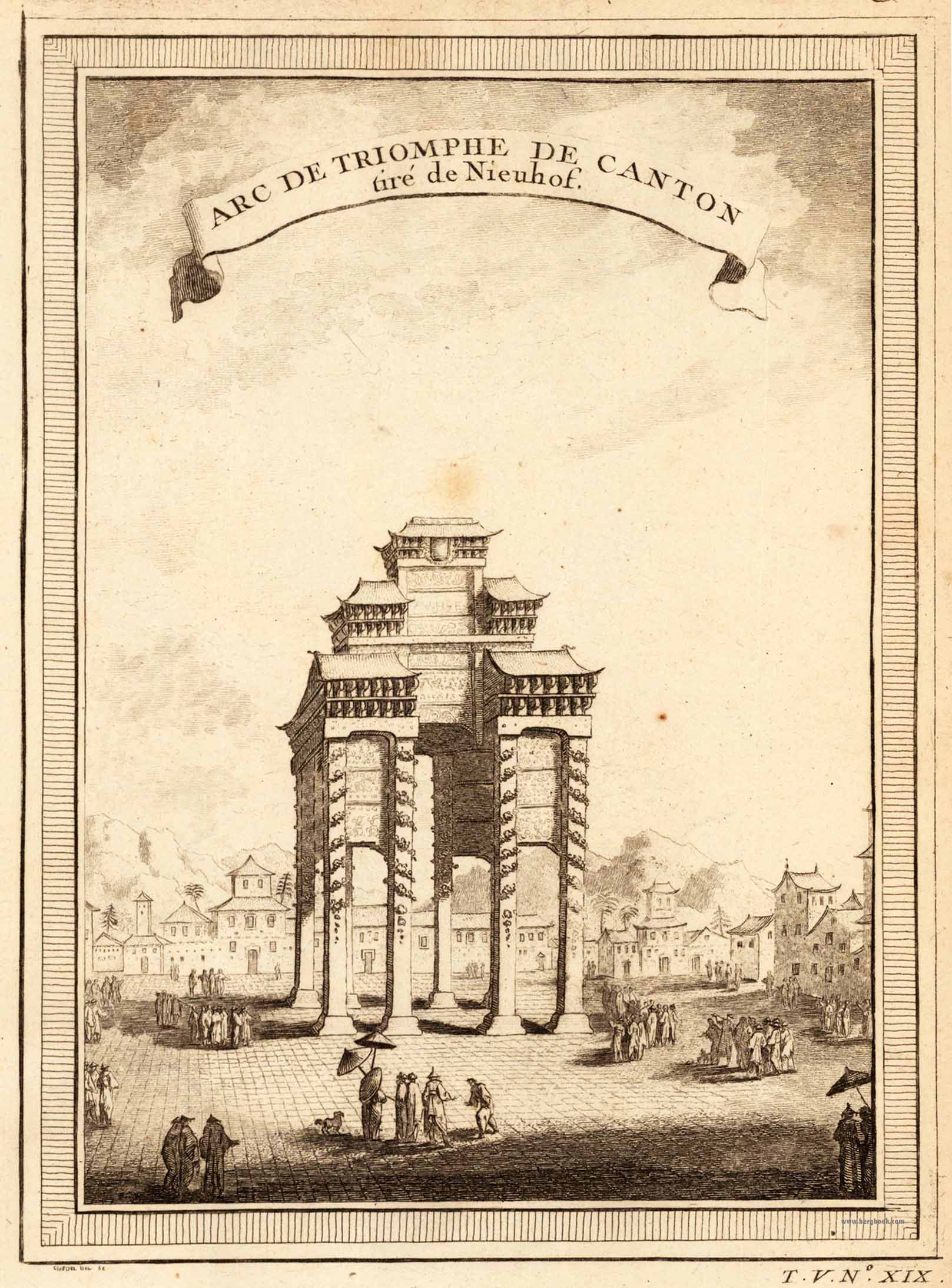
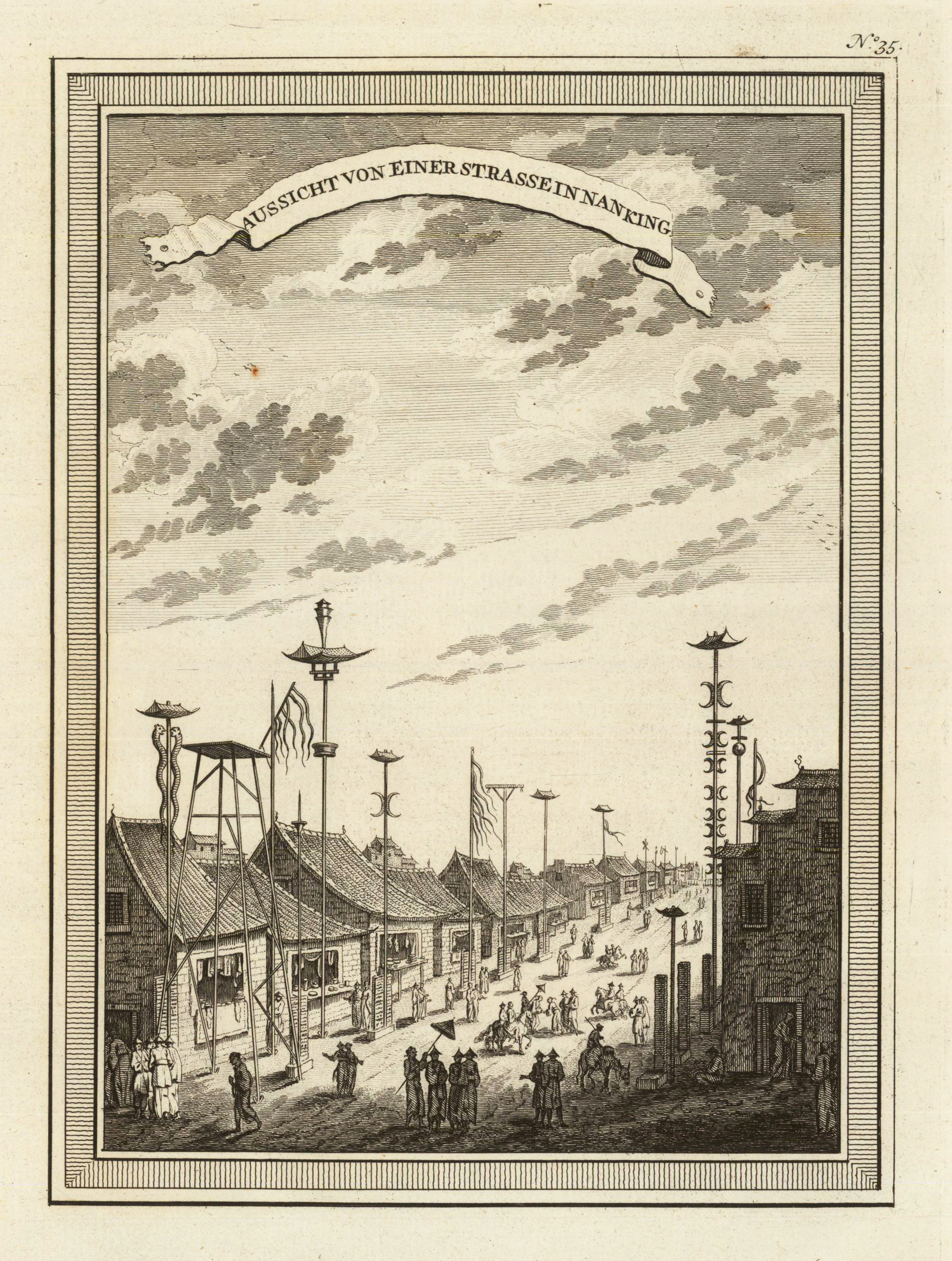
Copper engraving, uncolored as published. A fine detailed engraved and interesting street view of the city of Nanking (Nanjing in the province Jiangsu). Engraved after the earlier voyages by Bellin. Published by Schwabe in Leipzig in the German edition of Bellin's travel books.
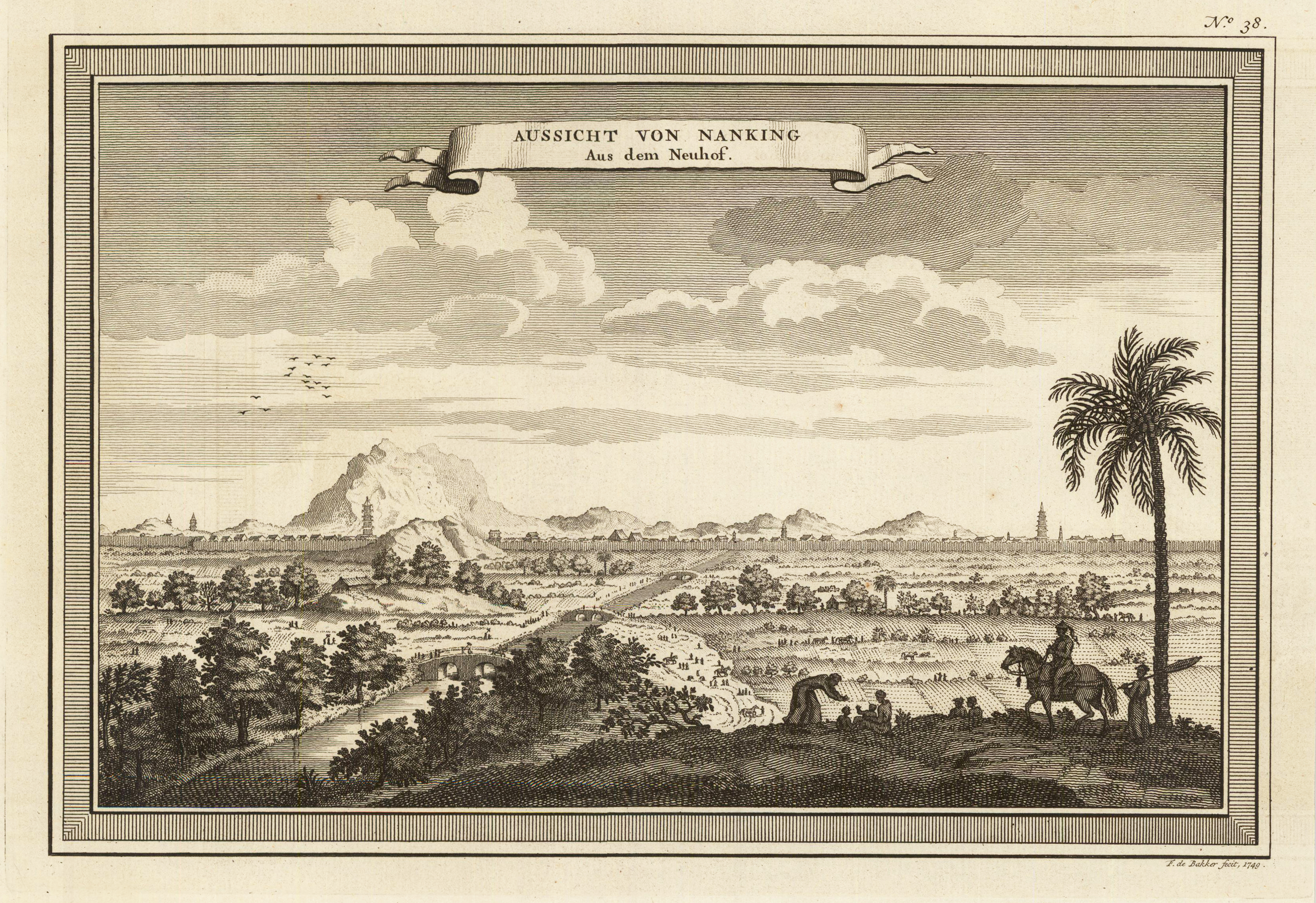
Copper engraving, uncolored as published. A fine detailed engraved panoramic city view of Nanking (Nanjing - province Jiangsu) with the city in the distance, rural landscape and a river in the foreground. Engraved after the earlier voyages by Bellin. Published by Schwabe in Leipzig in the German edition of Bellin's travel books.
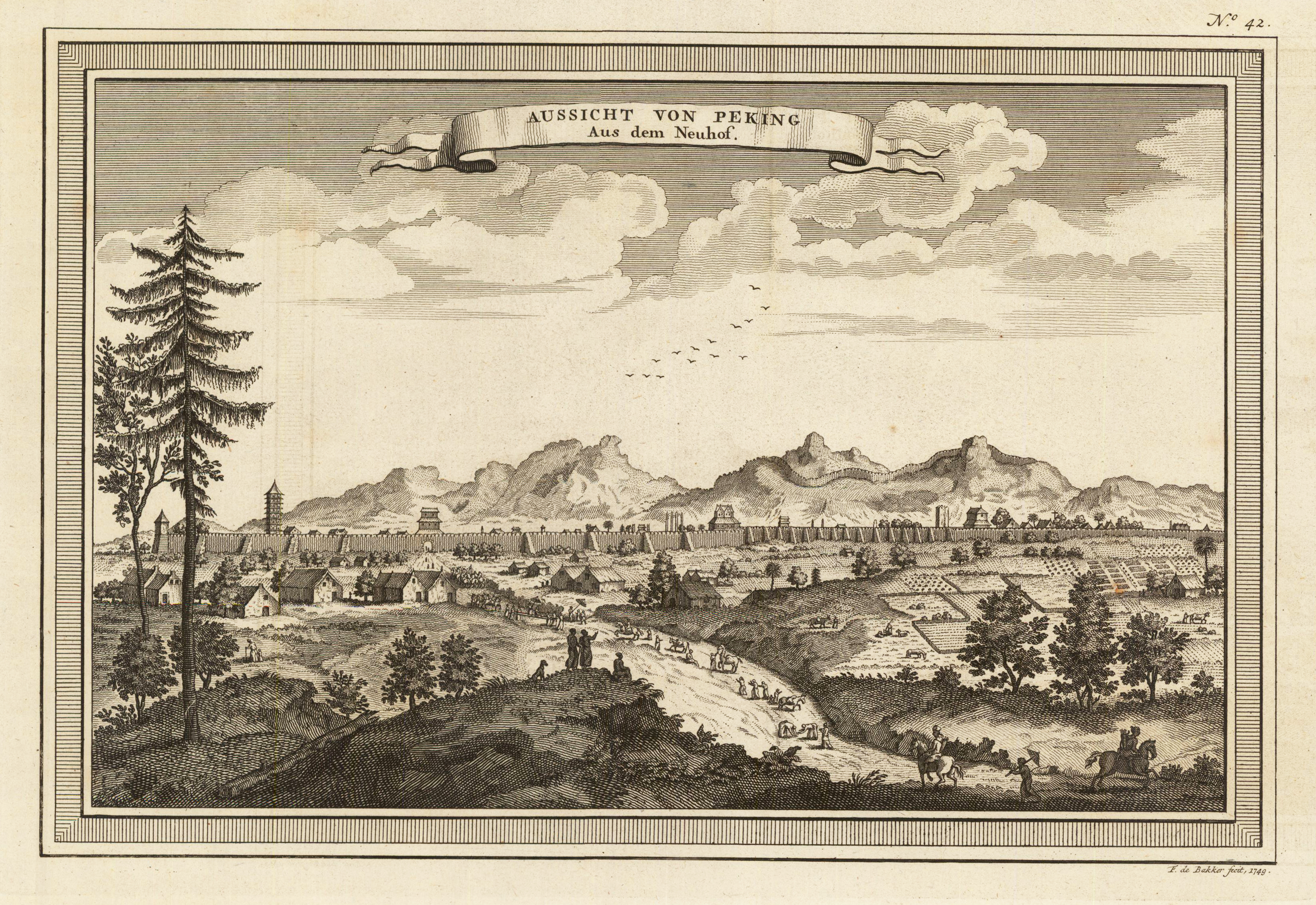
Copper engraving, uncolored as published. Decorative panoramic city of Beijing in 1749 towards its fortified walls and with mountain chains with the Chinese wall in the background. Engraved by F. de Bakker in 1749. Engraved after the earlier voyages by Bellin. Published by Schwabe in Leipzig in the German edition of Bellin's travel books.
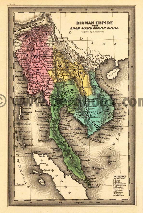
Steel engraving, hand colored in outline and wash when published. Engraved by Dankworth, F. This fine small engraved old map shows the Birman Empire with Anam, Siam & Cochin China. This rare antique original map was published by Carey & Lea in Philadelphia in a small pocket atlas. Detailled engraved with place names, rivers and mountain chains.
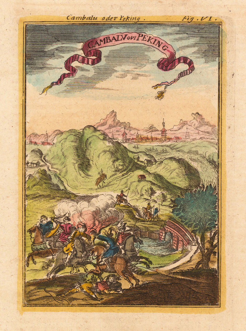
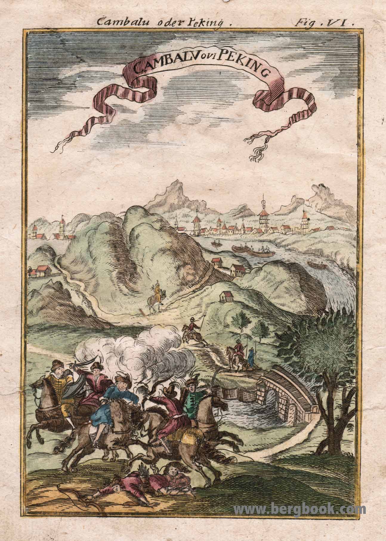
Copper engraving, handcolored in wash and outline, published in Allain M. Mallet's description of the world. A beautiful view from Peking. In the foreground are peoples with horses and they are fighting. In the background the town Peking is to see.
Copper engraving, handcolored in wash and outline, published in Allain M. Mallet's description of the world. A beautiful view from Peking. In the foreground are peoples with horses and they are fighting. In the background the town Peking is to see.
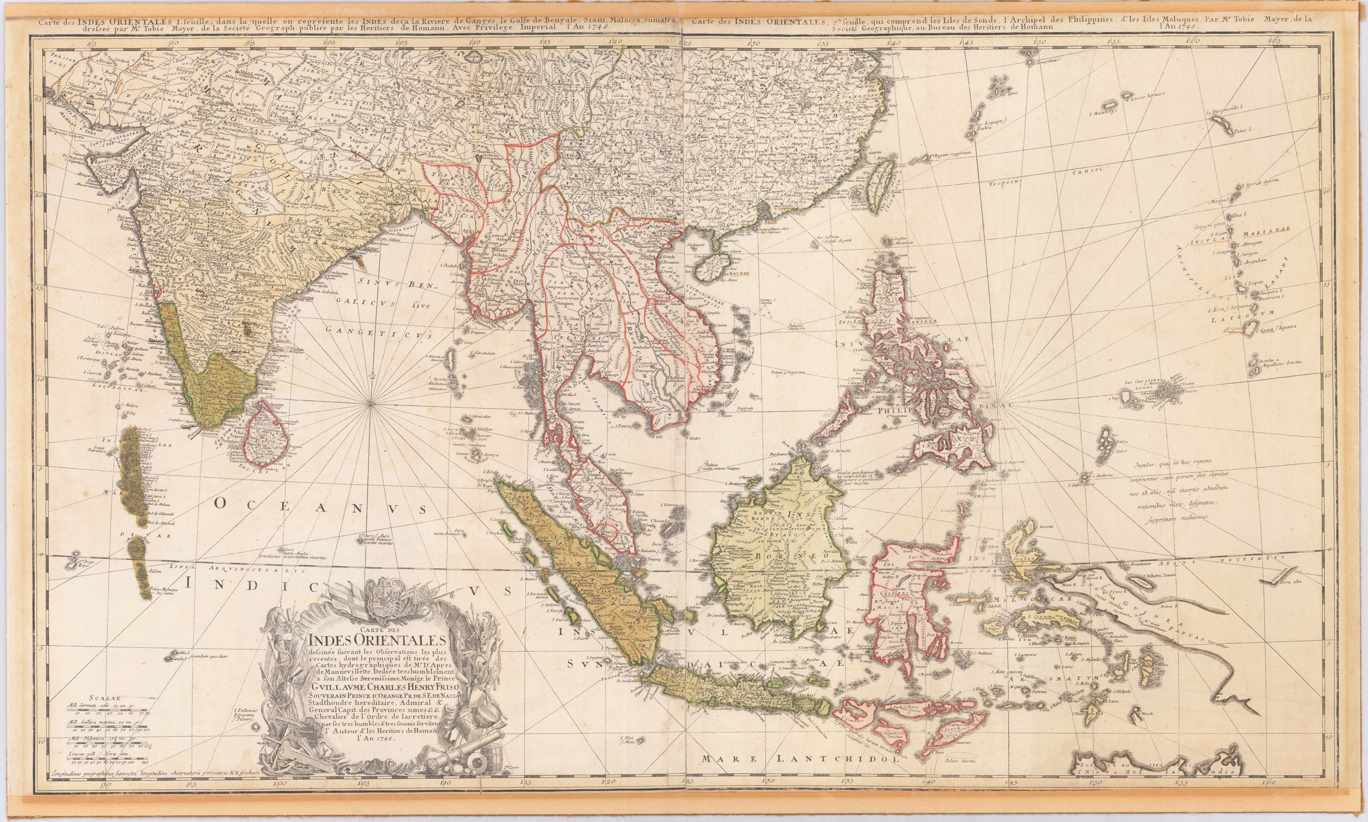
Original engraved map, printed from two plates and handcolored in wash and outline when published. A highly detailed and large map of South East Asia. Published by Homann´s Heirs and engraved after a drawing by Tobias Meyer in 1748. The left half of the map shows India with Delhi all the way to Burma, Vietnam, Laos, Malaysia, Sumatra and Singapore as well as the Maldives with the Indian Ocean. The right half of the map depicts the Philippines, Java, Borneo, Papua New Guinea and Eastern China. The title cartouche can be found on the left bottom including a dedication to the former Prince of Orange - Nassau, Wilhelm IV. Many engraved place names, mountains, rivers, lakes, political border are engraved on the map. The map was printed from two plates, these two sheets were joined together and then pasted down on cardboard. The upper margin cut close to the printed title at the top of the map, the bottom cut close to the engraved printed border line.
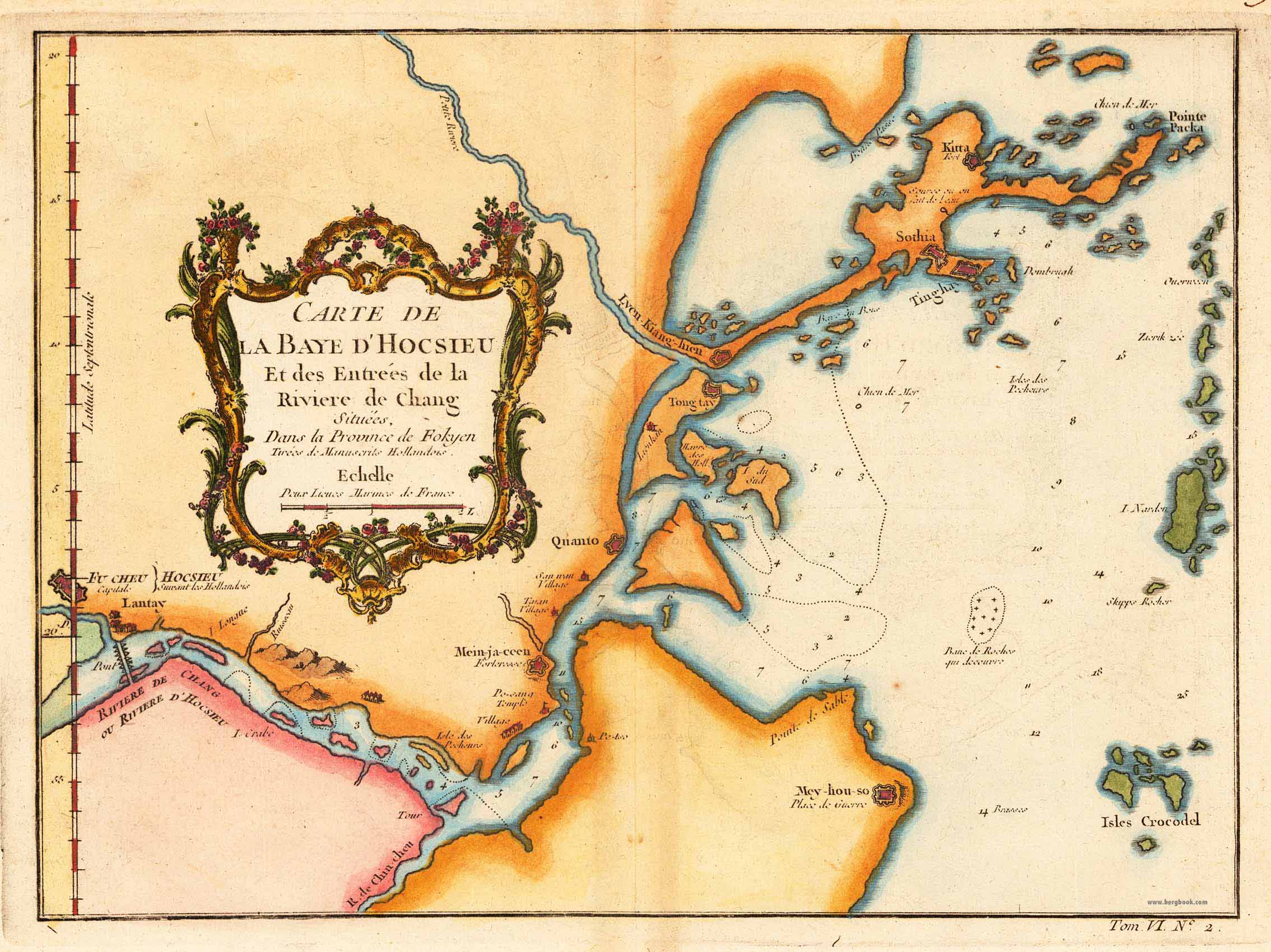
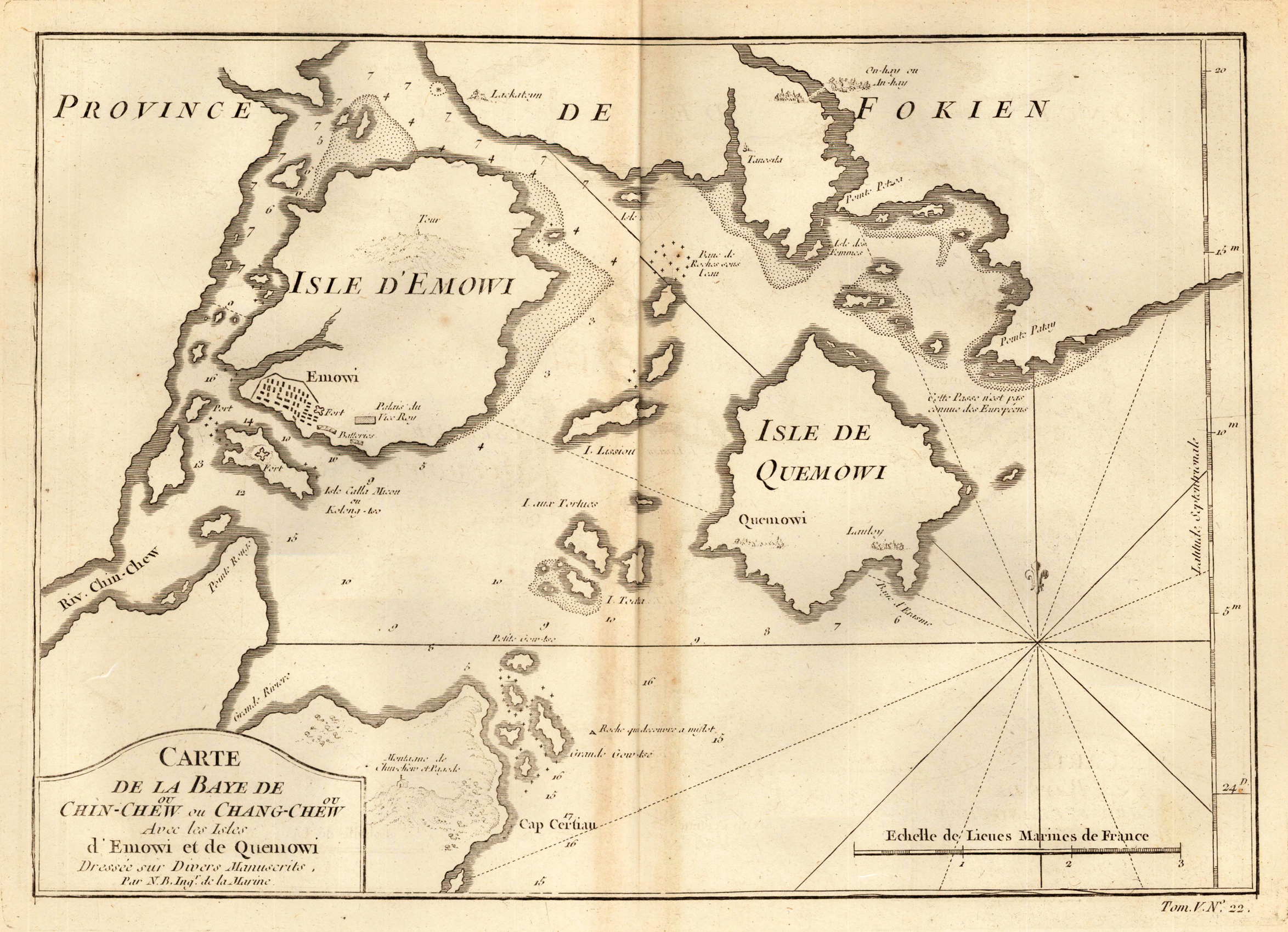
Copper engraving, uncolored as published. The map shows the current city of Xiamen. This nautical chart offers only limited details inland, but the city of Amoy (Xiamen), as well as adjacent points of interest including fortifications, palaces, pagodas, and nearby cities, are rendered pictorially. On the island itself a large mountain, most likely Xianyue Mountain, with a tower, is depicted. Published in an atlas volume of Nicolaus Bellin's ,Histoire generale des Voyages' around 1760 in Paris.
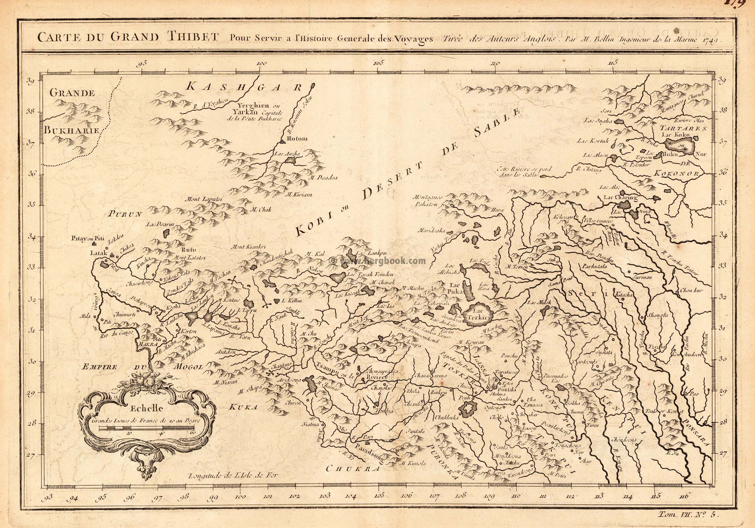
Copper engraving, uncolored as published. An interesting small and detailled antique map of Grand Thibet, these days called the autonom region Tibet. With many engraved details: rivers, lakes, some mountain chains and engraved names of villages and rivers. Published in an atlas volume of Nicolaus Bellin's ,Histoire generale des Voyages' around 1760 in Paris.
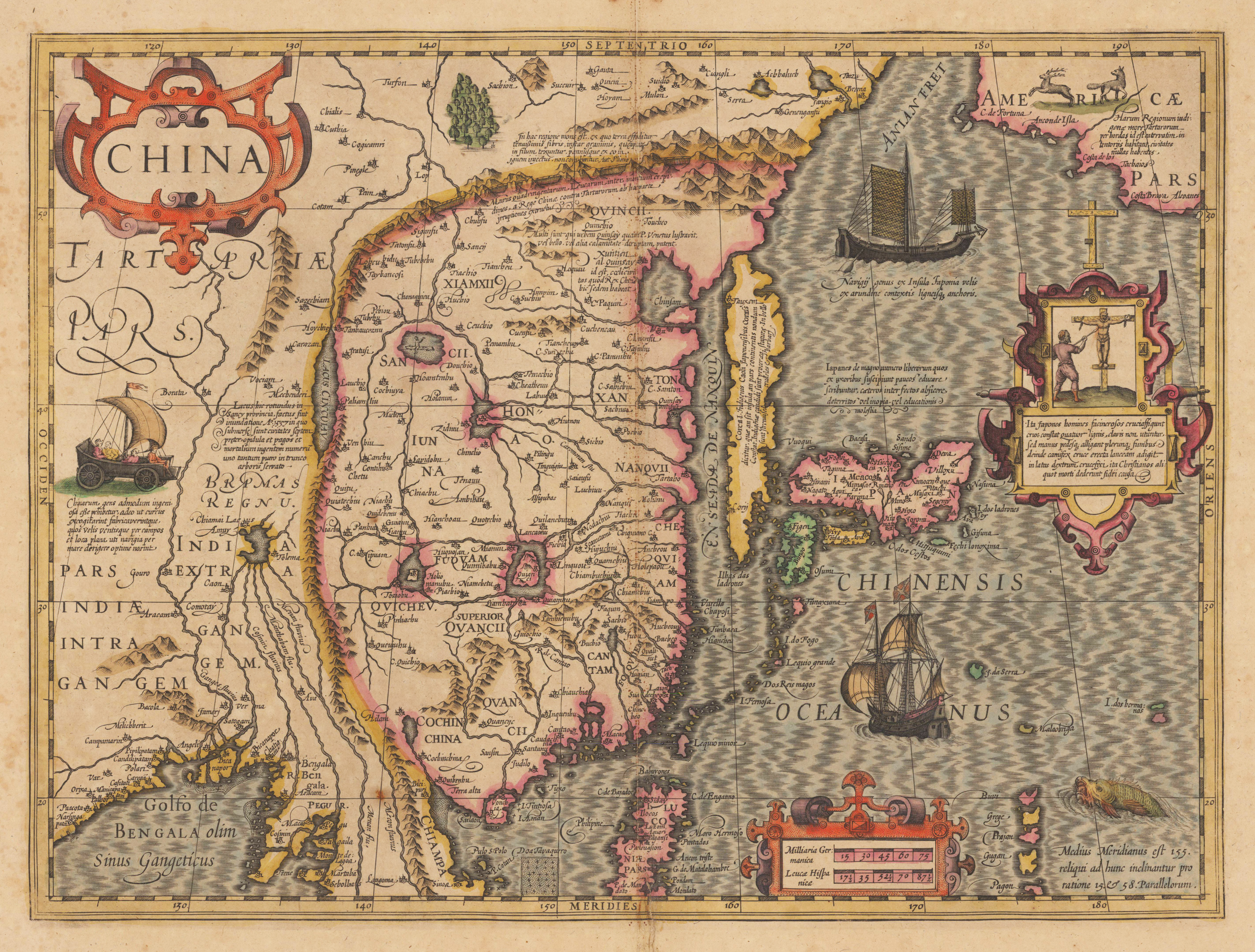
Original antique copper engraving, hand colored when published. Latin text edition. The decorative and early map of China is equipped with renaissance title cartouches, richly figurative scenes and elaborated with engraved sea monsters, sailing ships and land wagons with sails in Tartary. China is already shown with a large amount of place names, the Great Wall, rivers, larger lakes and engraved mountains. The Chinese Sea extends from the Anian Street with the neighboring Northwest coast of America, across Korea, which is here shown as an island, and across Japan towards the northern Philippines.
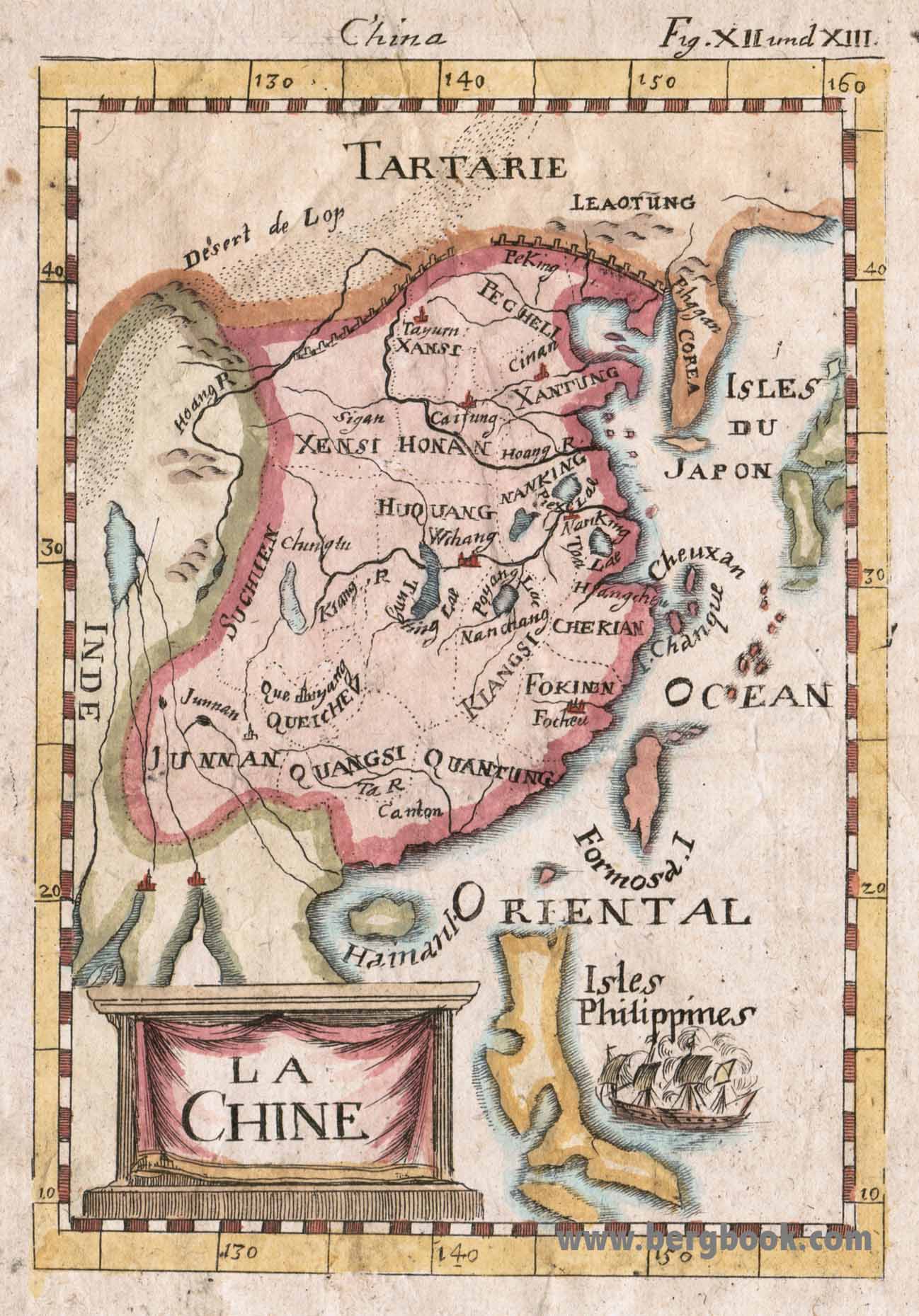
Copper engraving, handcolored in wash and outline, published in Allain M. Mallet's description of the world. A beautiful antique map which shows Chine. In the left lower corner is a title cartouche and in the right side is a ship to see. Inside the map are many place names, rivers, etc.
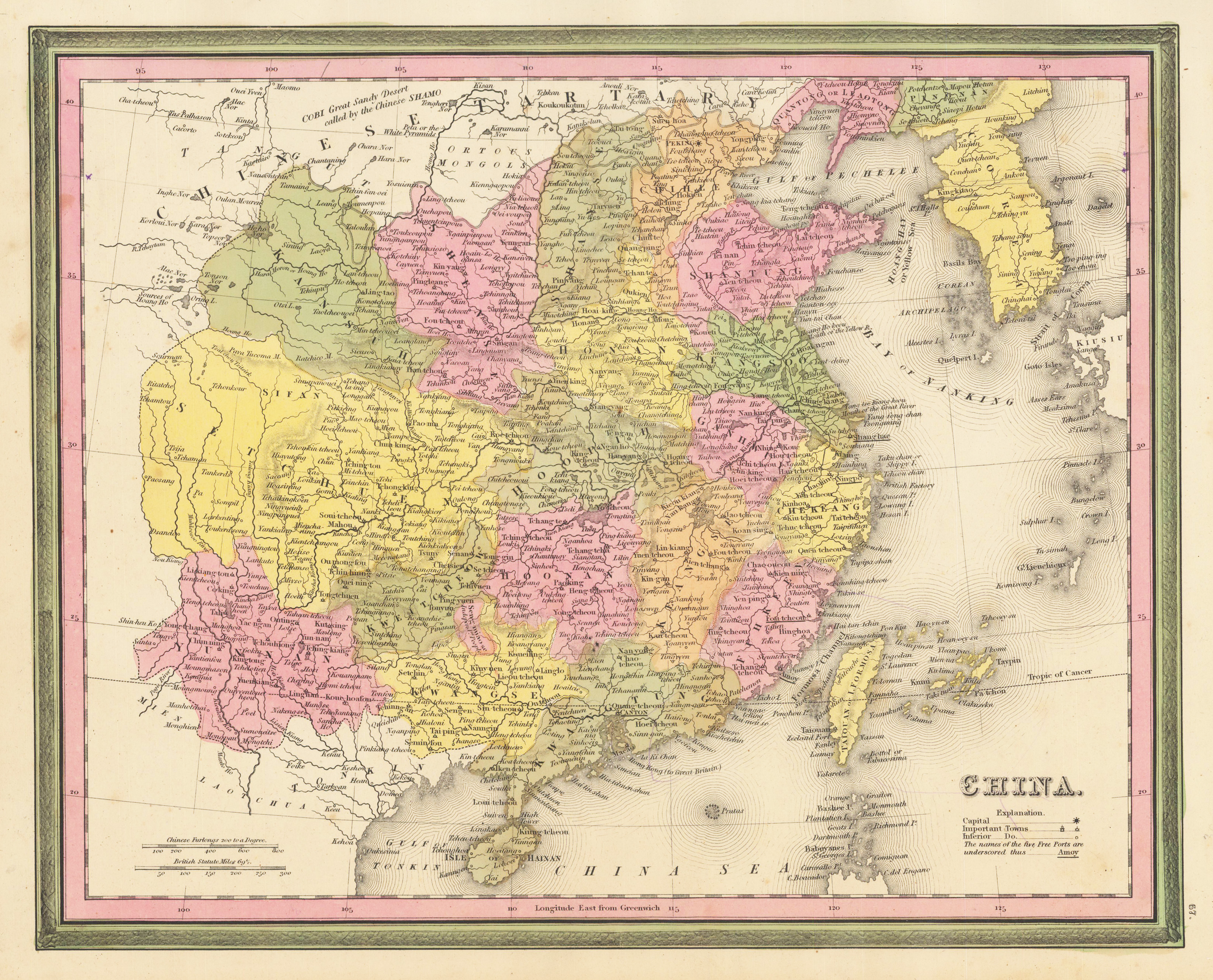
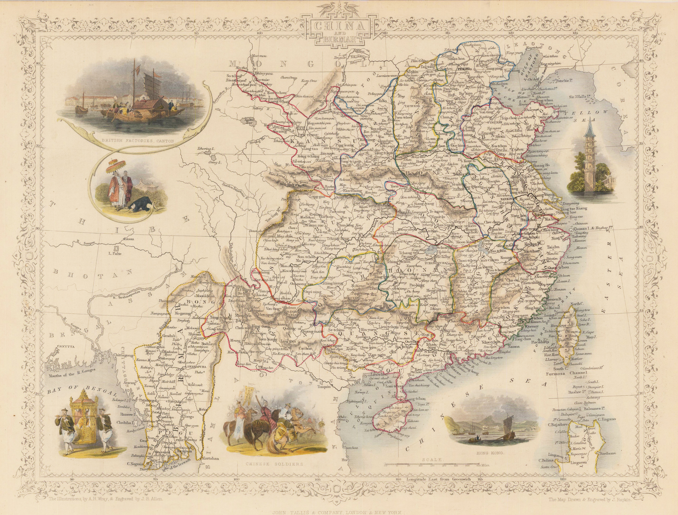
Steel engraving, hand colored in outline and wash. An attractive and decorative map of China and Burma or Myanmar. Beautifully illustrated with six vignette engravings including British Factories in Canton, Chinese soldiers and Hong Kong.
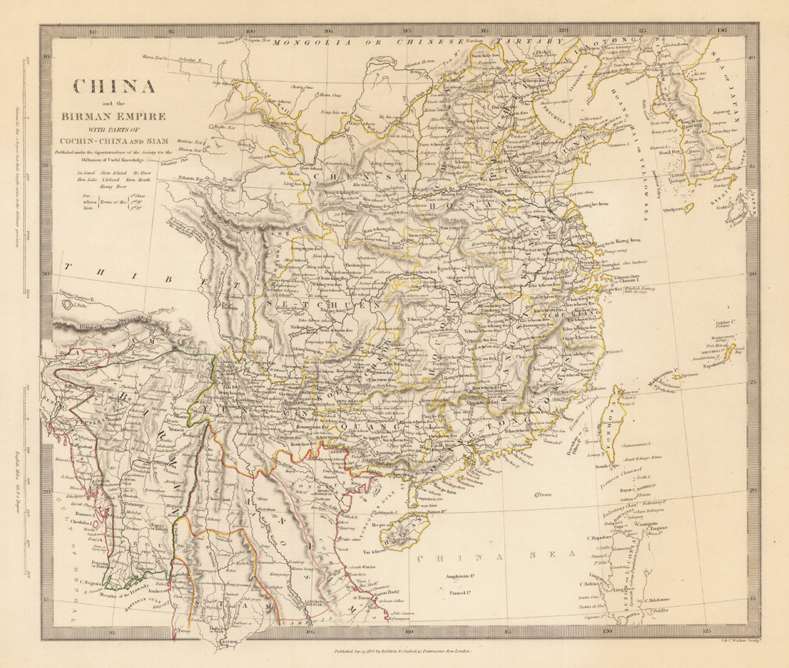
Steel engraving, hand colored in outline when published. This highly decorative map shows China and the Birman Empire. The map is equipped with many place names, rivers, lakes, mountains, etc. At the right side we see the China Sea and many islands.
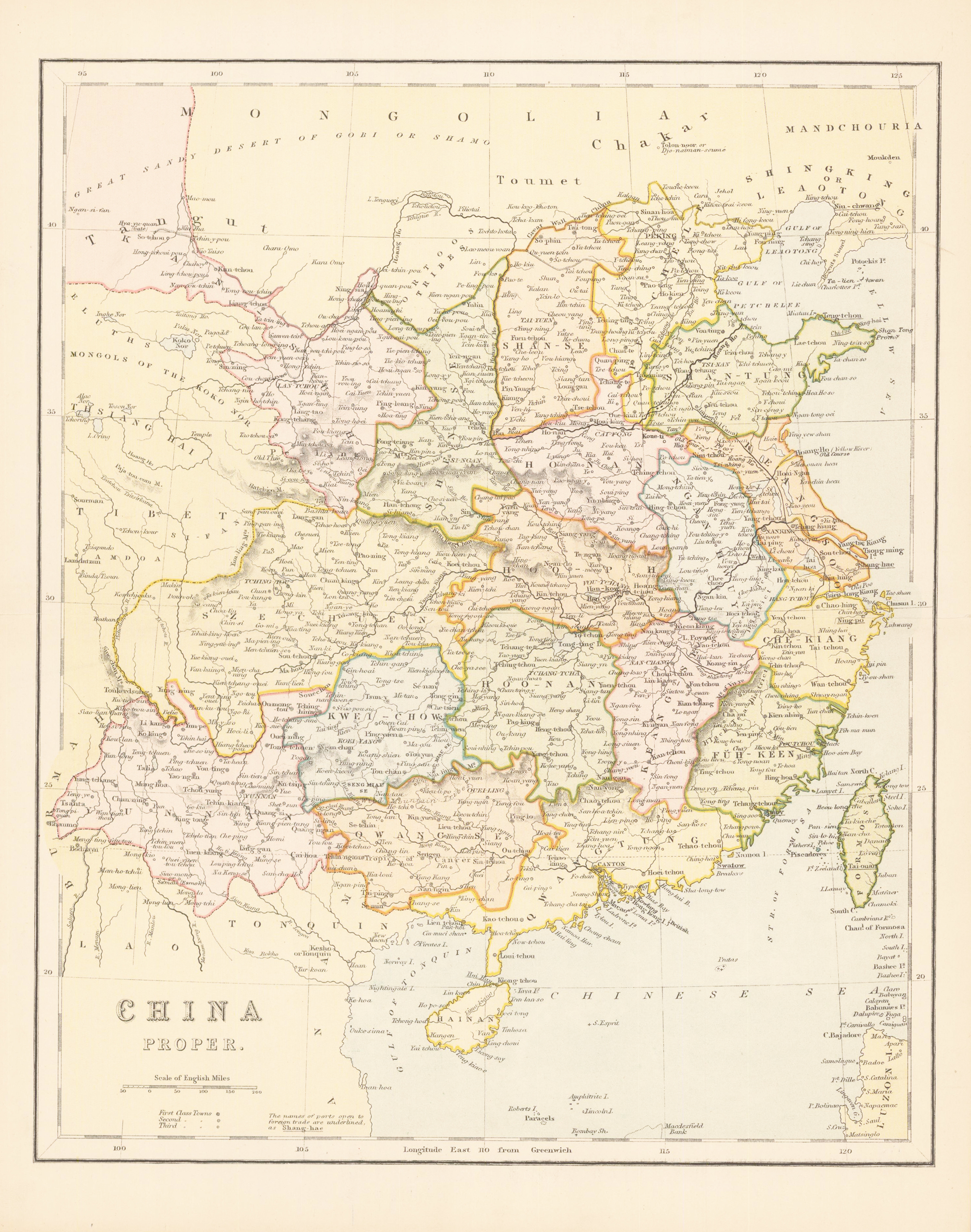
Original antique steel engraving, hand colored when published. Printed and published arround 1870 in ,The national Encyclopaedia a Dictionary of Universal Knowledge Vol IV'.
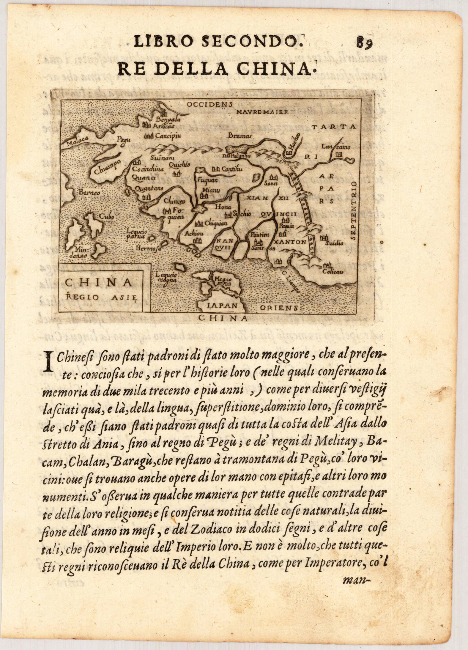
Copper engraving, uncolored as published on the full text sheet. Fine engraved rare map of China published in Giovanni Botero's 'Relationi di Givanno Botero' 1598 in Brescia. The miniature maps published by G. Botero are close imitations of those published in Phillip Galle's 1593 edition with Italian text. The fine engraved maps by Botero are very much in the style of Abraham Ortelius's miniature map, they are engraved with woods, miniature, views, some even with decorative sea monsters and ships. An early miniature map of China, showing also the Chinese wall, with the neighboring Japan extending towards Malacca and Borneo.