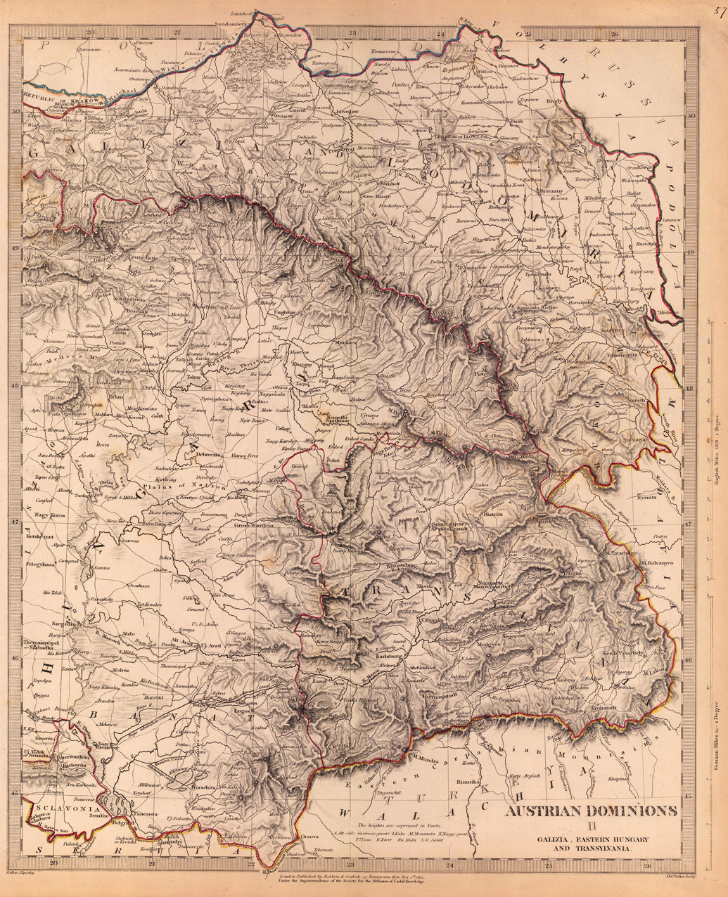
Steel engraving, hand colored in outline when published. Detailed map of Southeast Hungary, the Banat and Transylvania with many engraved place names, villages, rivers, roads and engraved mountain chains. In the northern part of the map the neighboring Gallizia and Lomiria.
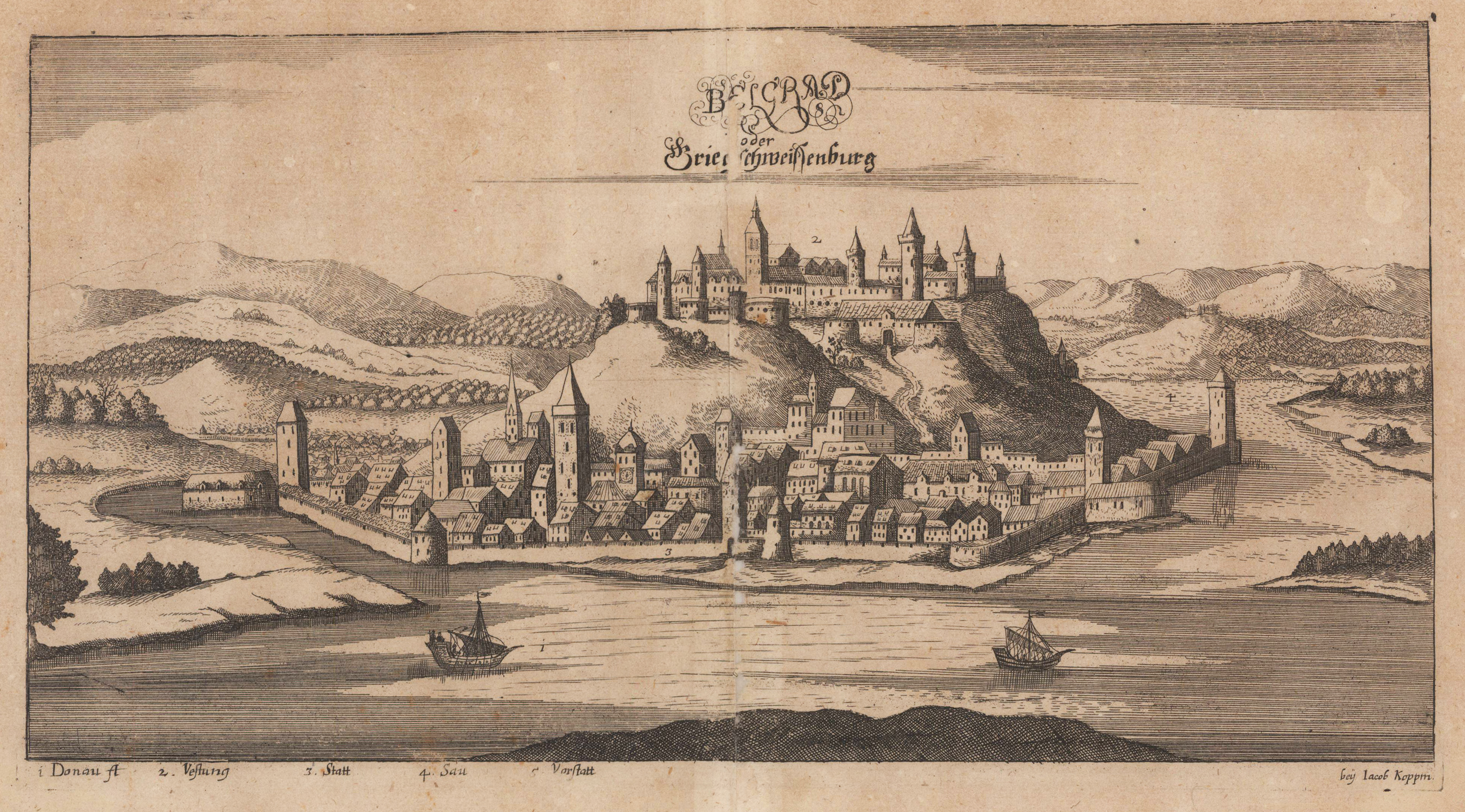
Original antique copper engraving, uncolored. This copper engraving shows the Serbian capital Belgrade on the Danube. On the top center is the title in 3 lines. In the foreground is the Danube with two ships, behind is the city of Belgrad with its fortress. Under the view are declerations from 1 to 5. Copper engraving from Johann Christoph Wagners,Delinatio Provinciarum Pannoniae Et Imperii Turcici In Oriente' 1685.
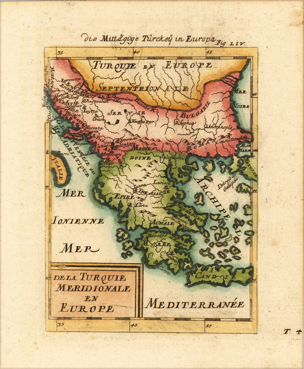
Copper engraving, hand colored in wash and outline. A very highly decorative map which shows Turkey in Southern Europe. The map is equipped with many place names, mountains, rivers and islands and the Mediterranean Sea.
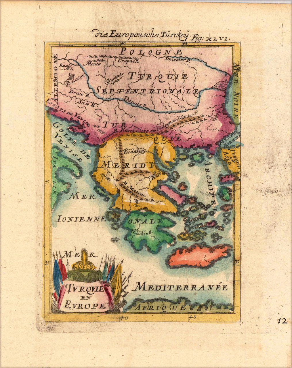
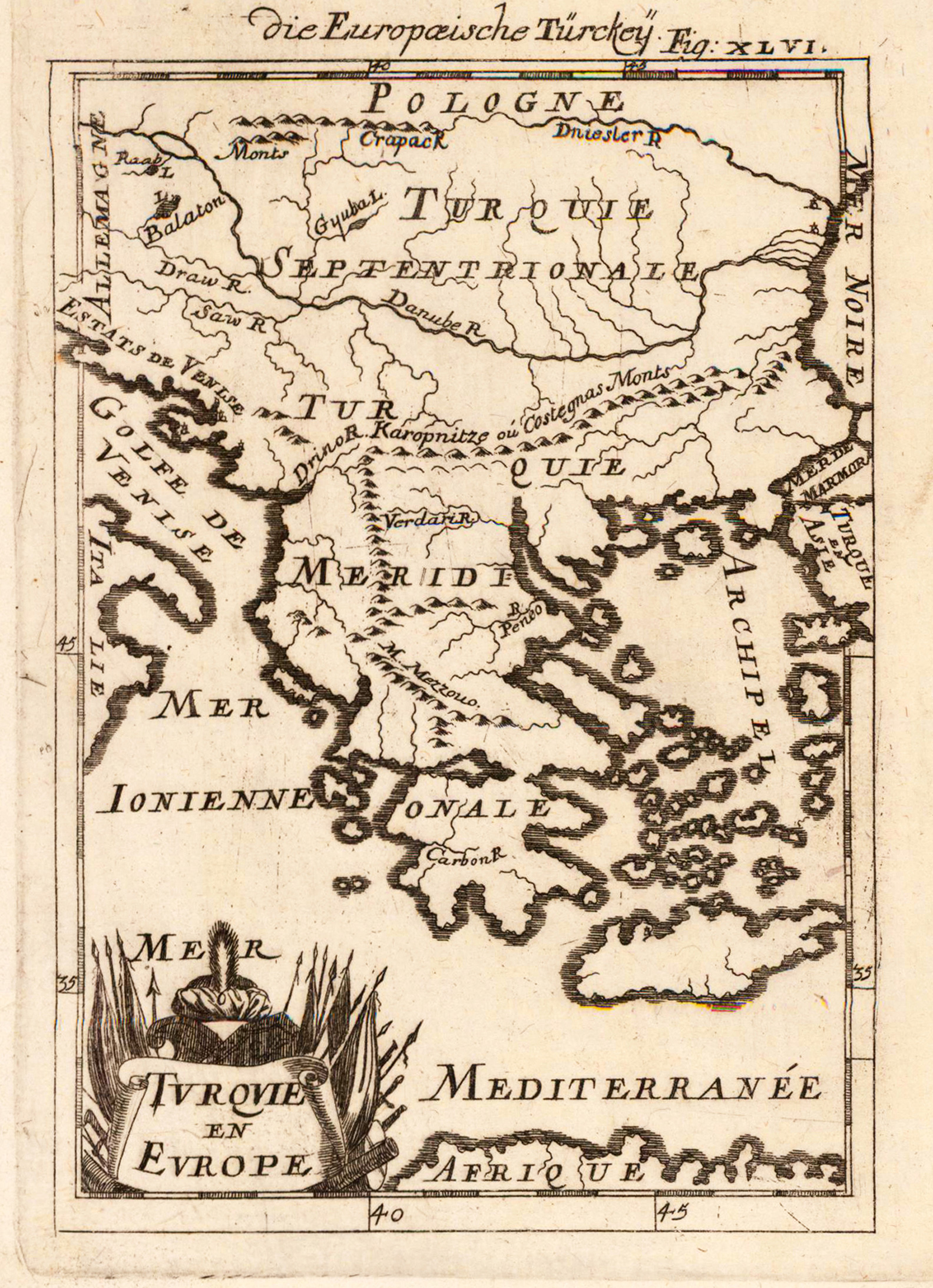
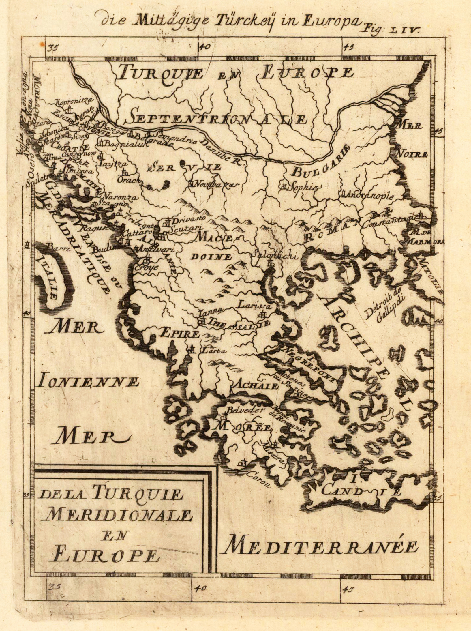
Copper engraving, hand colored in wash and outline, published in Allain Manesson Mallet's description of the world. A very highly decorative map which shows Turkey in Southern Europe. The map is equipped with many place names, mountains, rivers and islands and the Mediterranean Sea.
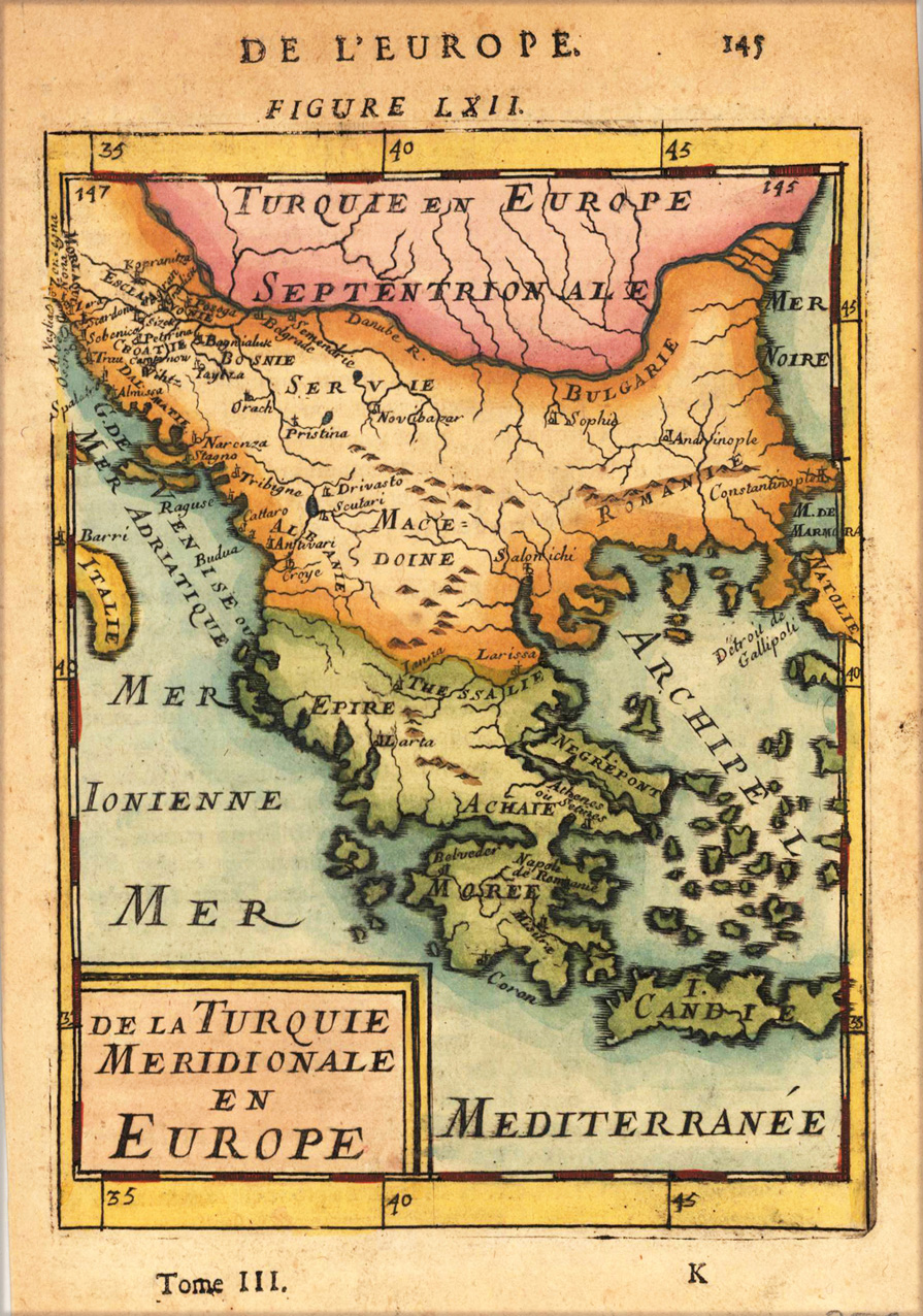
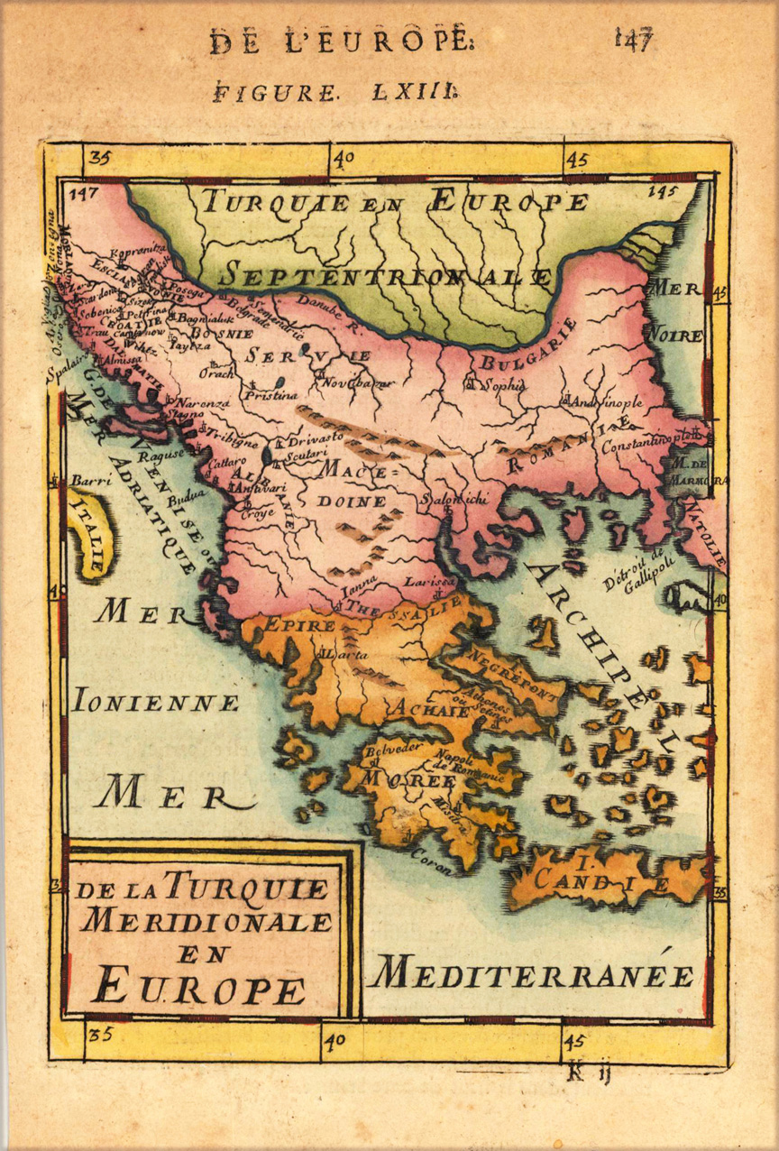
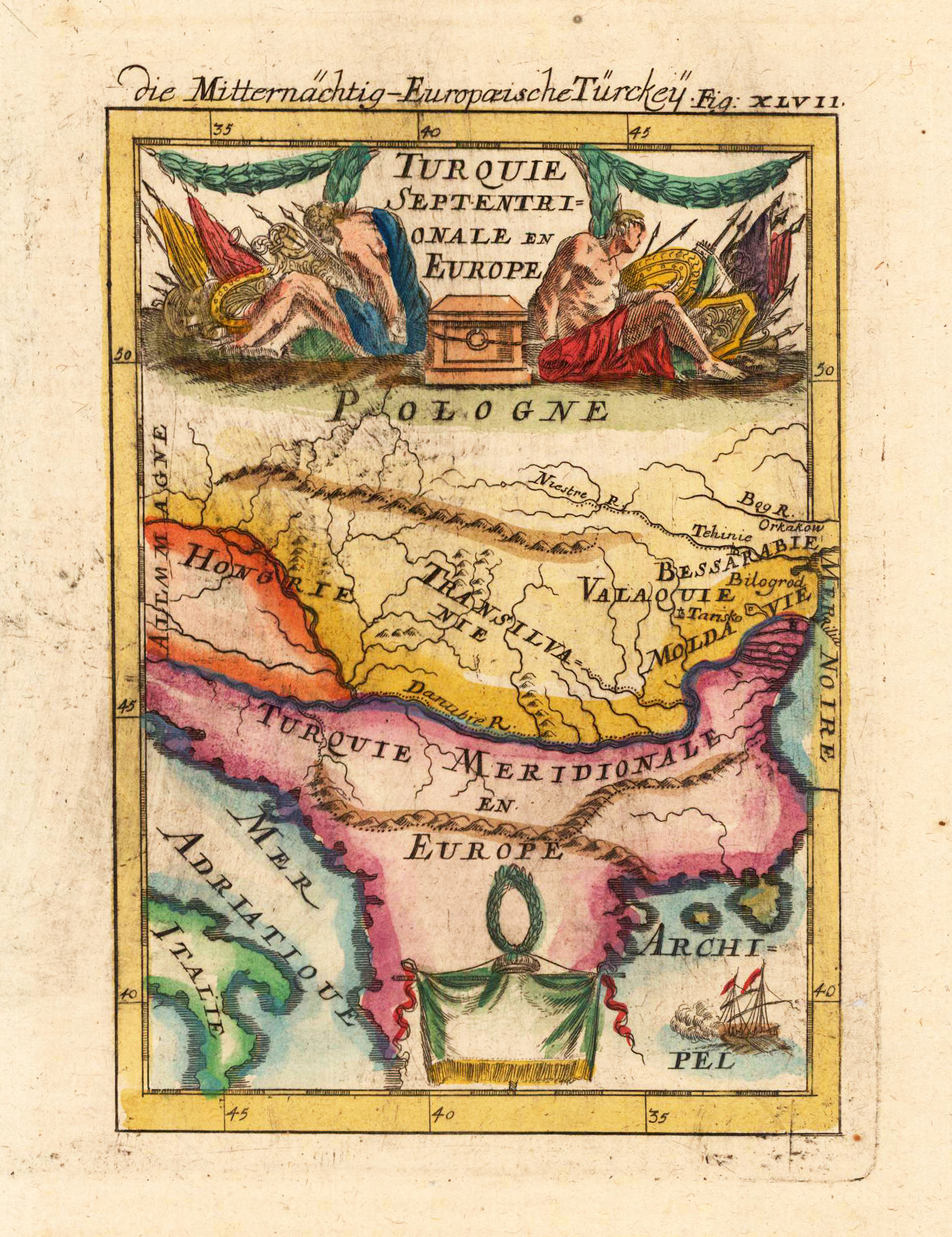
Copper engraving published in Allain M. Mallet's description of the world 'Description De L' Univers, Contenant Les Differents Systemes Du Monde, Les Cartes generales & particulieres ...'. French text edition with additional German titles on top. Small map of Southeast Europe showing mainly the posessions of the turcs in Europe.
Copper engraving published in Allain M. Mallet's description of the world 'Description De L' Univers, Contenant Les Differents Systemes Du Monde, Les Cartes generales & particulieres ...'. French text edition with additional German titles on top. Small and decorative map showing Turkey in Europe around 1686.
Copper engraving, hand colored in wash and outline. A very highly decorative map which shows Turkey in Southern Europe. The map is equipped with many place names, mountains, rivers and islands and the Mediterranean Sea.
Copper engraving, hand colored in outline and wash when published in Allain M. Mallet's description of the world. This antique map shows us Turkey in Europe. In the upper part we find a figurative title cartouche.
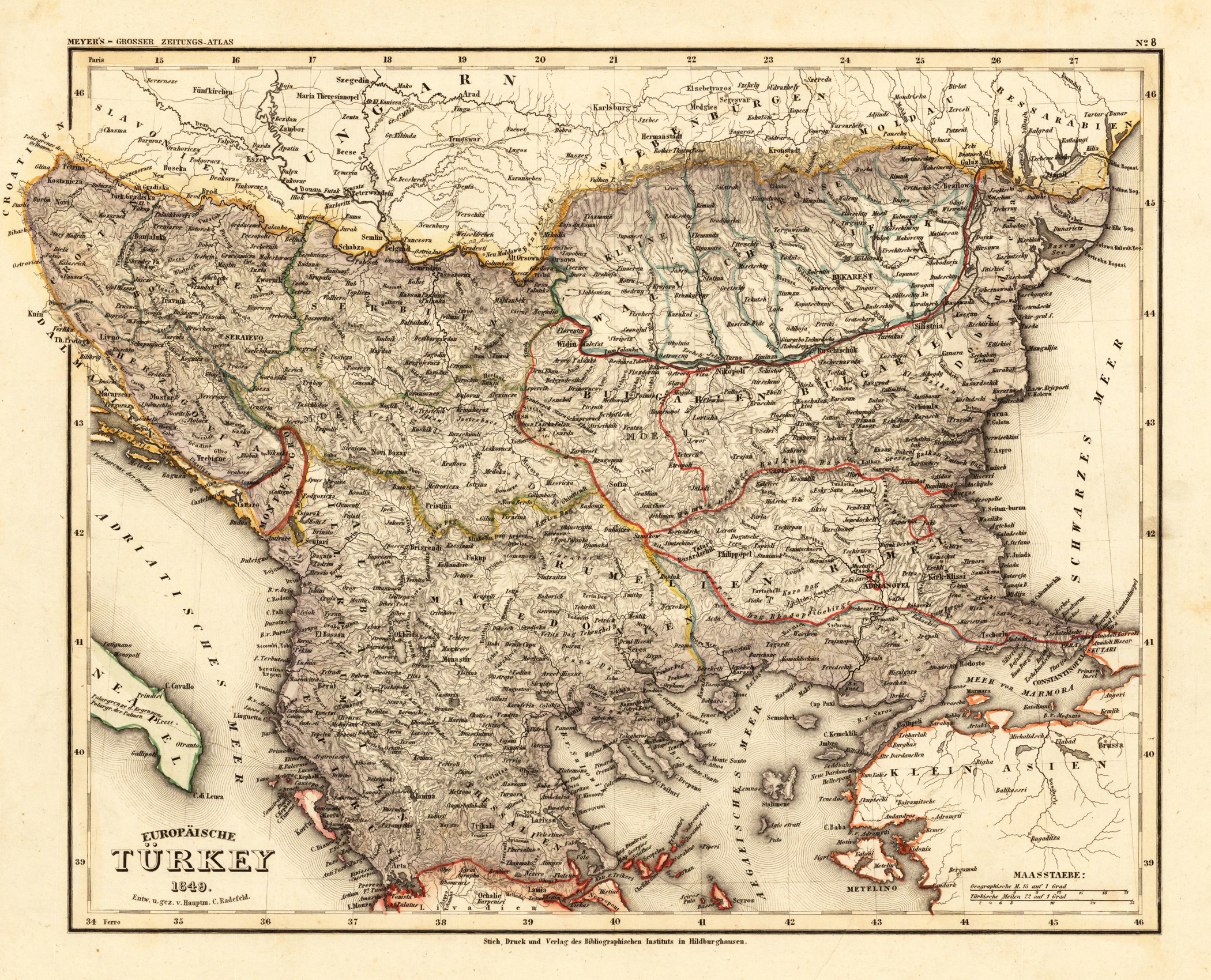
Steel engraving, hand colored in outline when published. Detailed map of the Balkan, called in this map the 'European Turkey'. Engraved and drawn by Hauptmann Radefeld, published in Meyer's Zeitungsatlas around 1849. The map shows the Turkish possessions in Southeast Europe during that period. With many detailed place names, rivers, mountains, streets, etc.
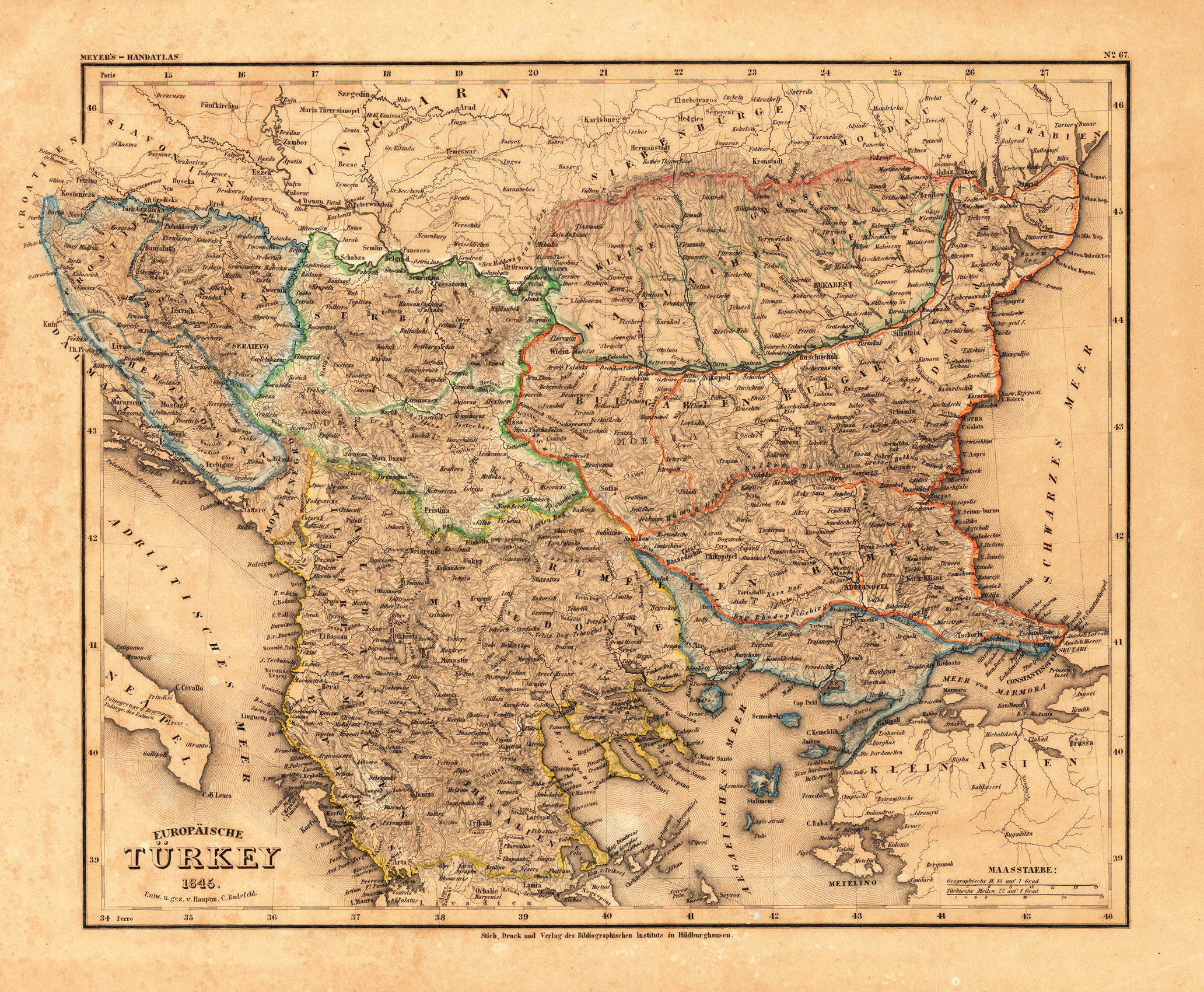
Steel engraving, hand colored in outline when published. Detailed map of the Balkan, called the 'European Turkey' by Hauptmann Radefeld, published in Meyer's Zeitungsatlas around 1845. The detailed map of Southeast Europe is providing a lot of information on the political divisions and borders, as well a lot of information on place names, mountains and rivers.
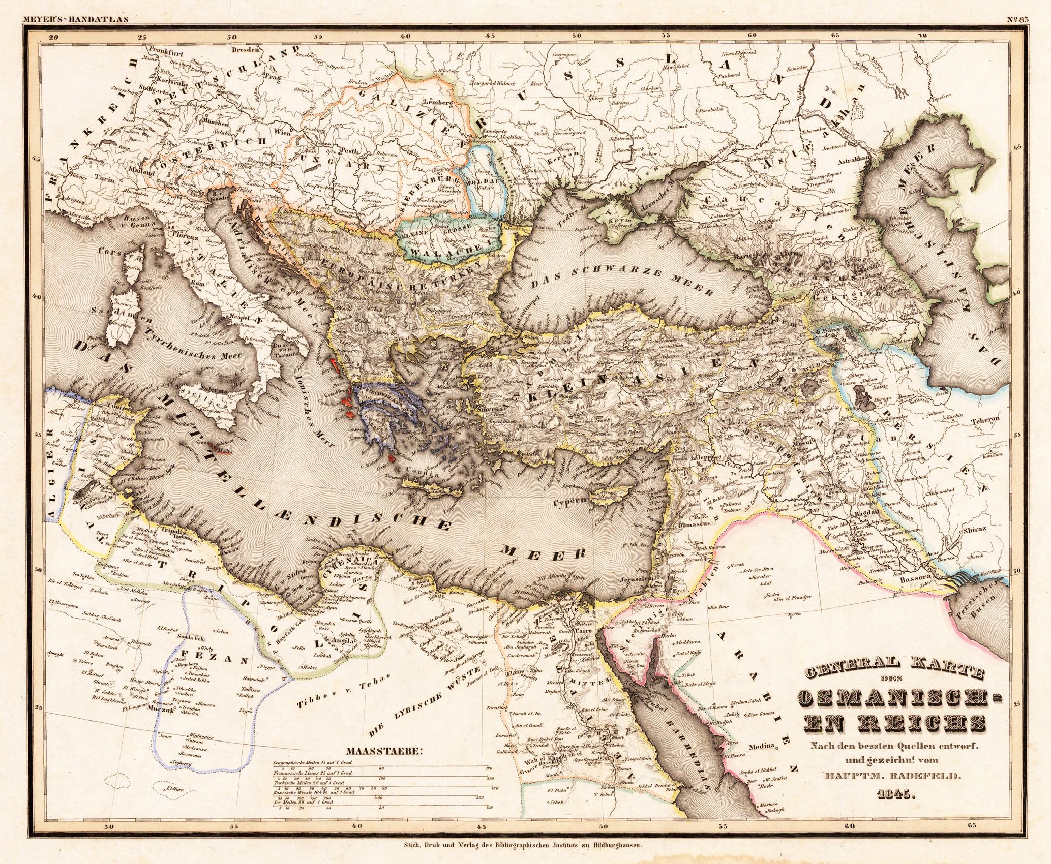
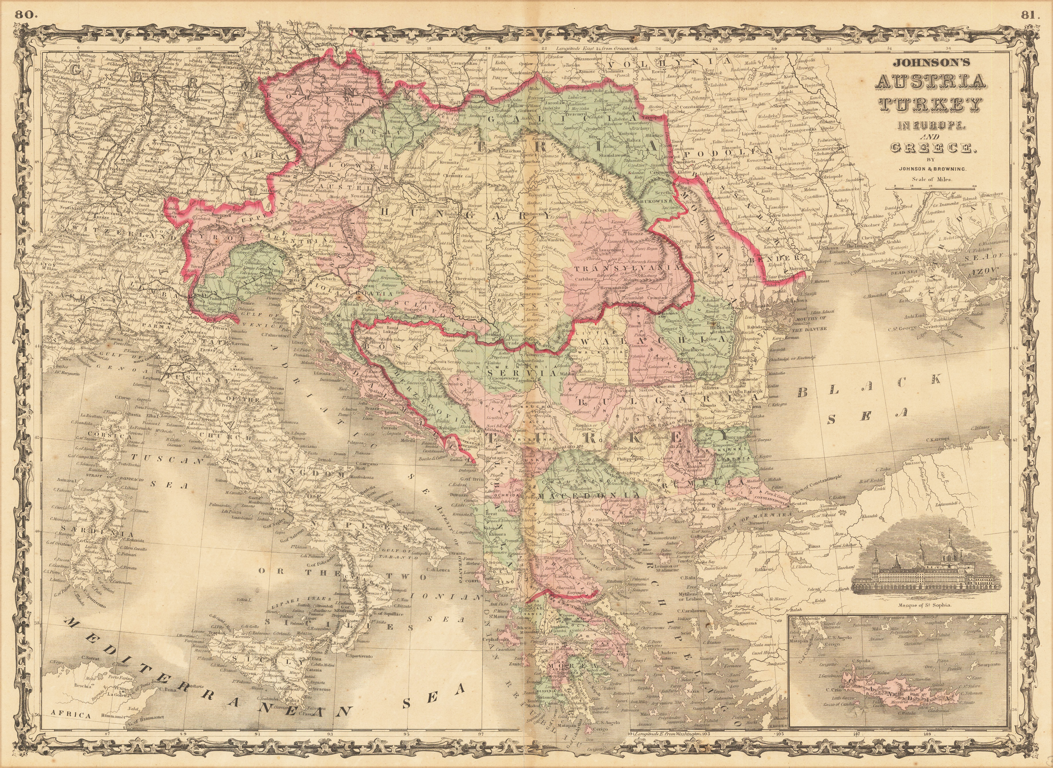
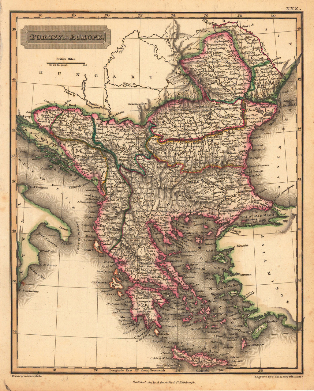
Steel engraving, hand colored in outline, when published. Decorative and interesting map showing the Osman Imperium, its political borders are shown in contemporary outline colors.
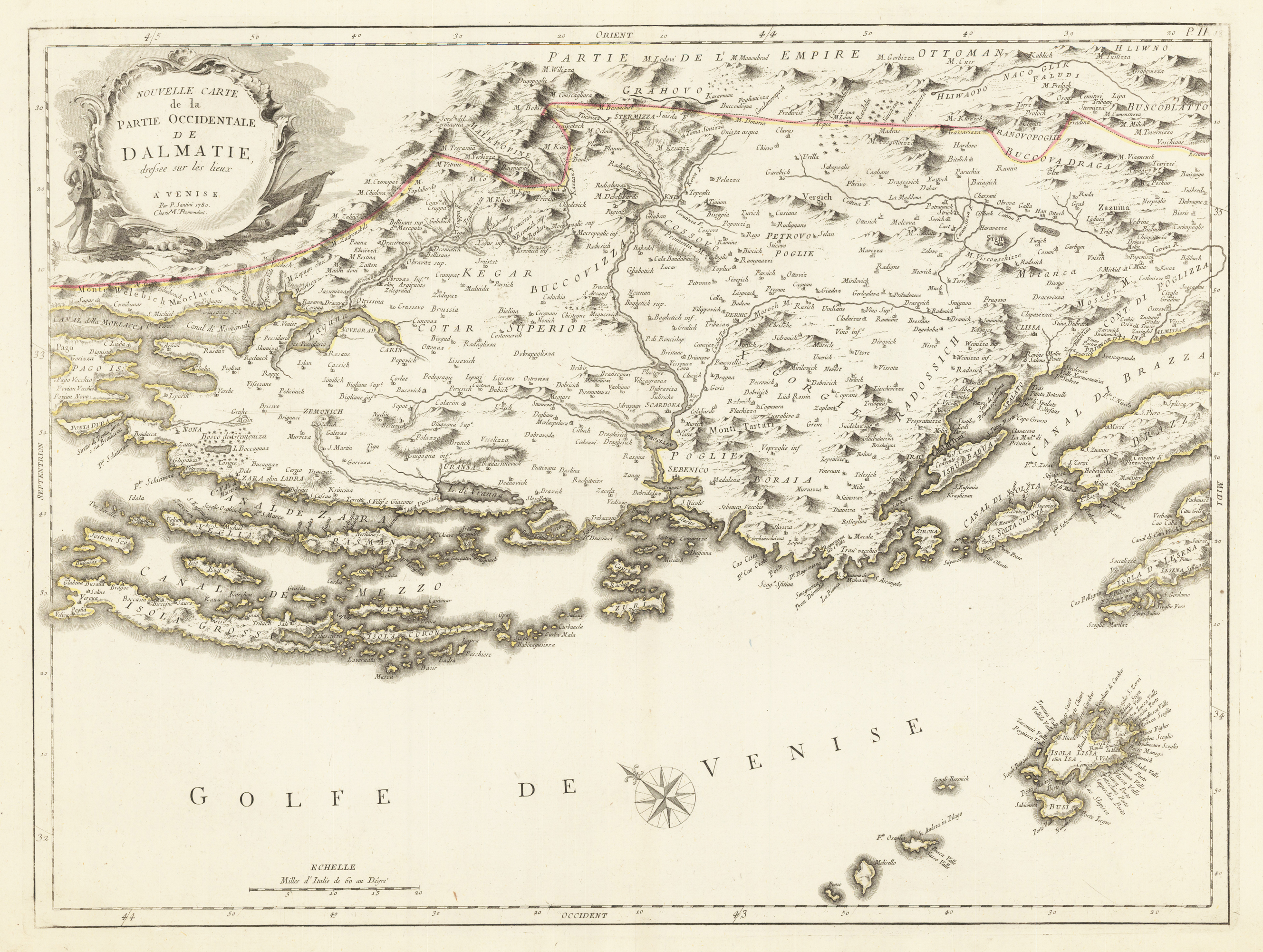
Copper engraving, hand colored in outline. Decorative map of the western part of the Dalmatian coast, from the eastern end of what are today the Croatian islands of Pag and Dugi Otok, east to Hvar and Brac. The island of Lissa is prominently marked in the lower right hand corner of the map, which is orientated towards the north east.
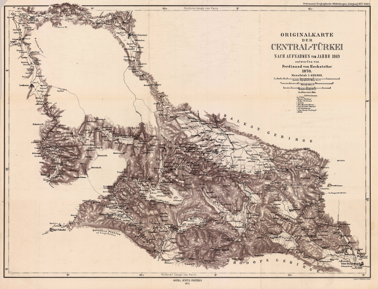
Lithograph, uncolored as published. This antique map shows us detailed the region Nis - Leskovac towards Sofia and Tatar Bazardschik. The interesting map provides many place names of small villages, also rivers and some mountains are engraved. At the upper right corner we find the title and the mileage scale, as well the explanation for the objects of interest, which are engraved shown on the map.
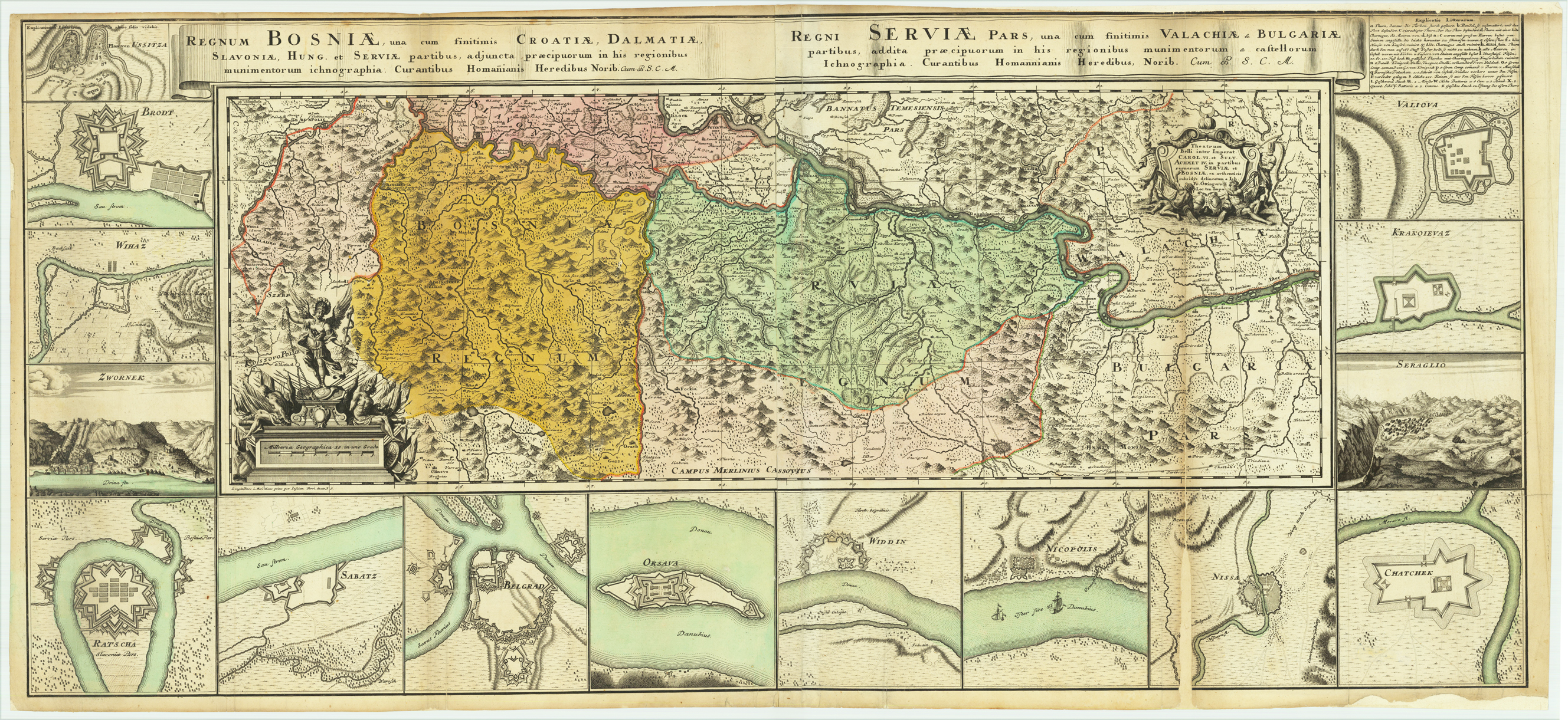
Original copper engraing, hand colored when published. Decorative map of Bosnia and Serbia, probably international published around 1739 on the occasion of the Russian-Austrian Turkish War (1736-1739). With 15 plans and views of Raca, Sabac, Beogad, Orsova, Vidin, Nikopol, Niš, Cacak, Sarajevo, Kragujevac and Valjevo, Uzice, Slavonski Brod, Zvornik, Explanations of the war (A-Z) in the upper right corner. Oversize map, printed from two plates. On the right side one of the foldes near the plan of Nizza with an larger loss. Further some marginal mendings and repairs.
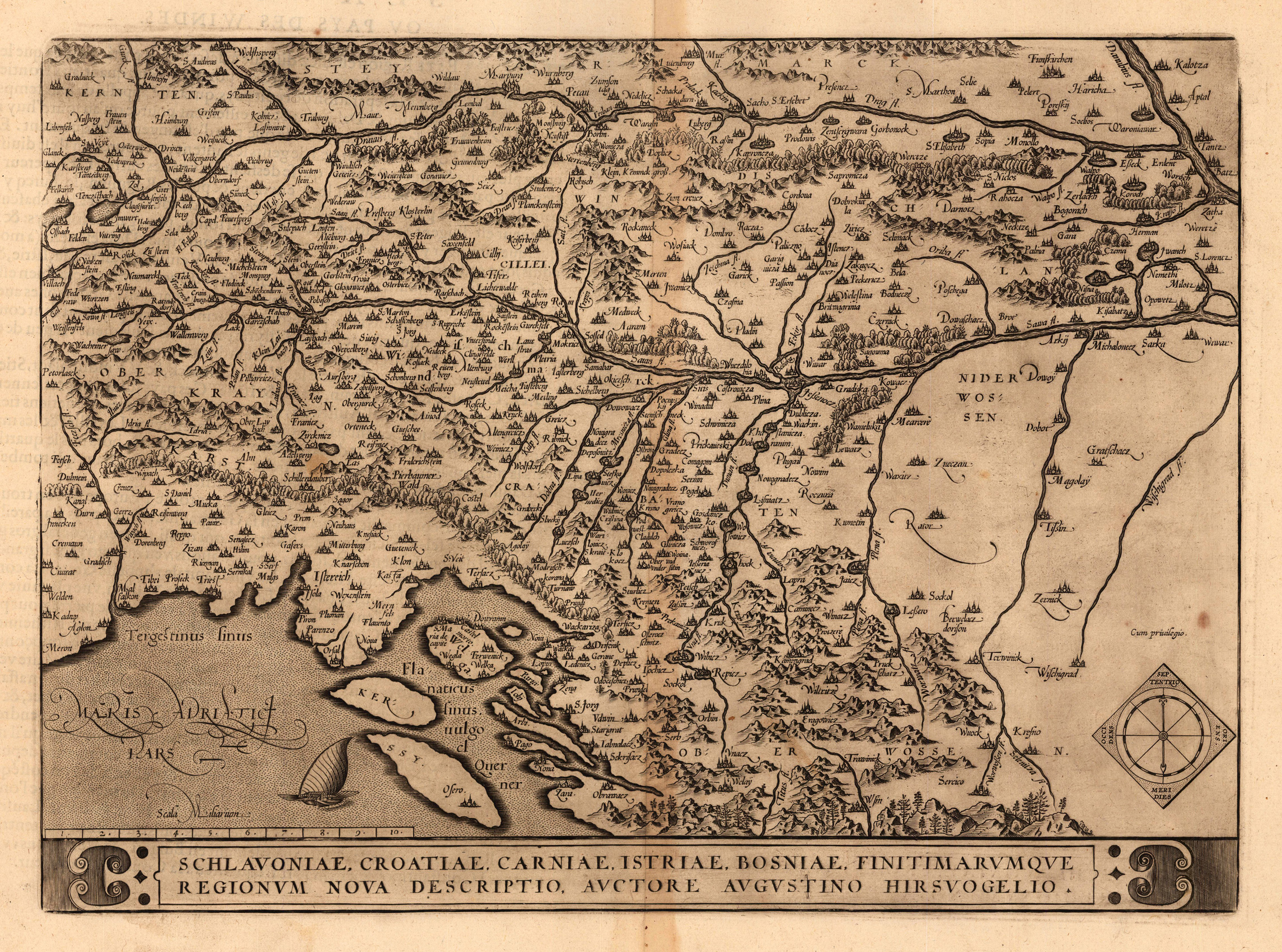
Original anique copper engraving, published 1598 in a French text edition of the 'Theatrum Orbis Terrarum'. This map is one of the earliest modern maps of the Balkans, covering Slovenia and an part of Croatia. Based on the cartography of Augustus Hirschvogel who drew on the work of Lazarus, Ziegler, and Apian. There is good detail throughout, with villages, cities, rivers, and forests. An compass rose at the lower rigth corner, banner title across bottom, and a nice galley ship in the Adriatic Sea. Ortelius was born on 14 April 1527 in the city of Antwerp, which was then in the Habsburg Netherlands (modern-day Belgium). The Orthellius family were originally from Augsburg, a Free imperial city of the Holy Roman Empire. In 1535, the family had fallen under suspicion of Protestantism. Following the death of Ortelius's father, his uncle Jacobus van Meteren returned from religious exile in England to take care of Ortelius. Abraham remained close to his cousin Emanuel van Meteren, who would later move to London. In 1575 he was appointed geographer to the king of Spain, Philip II, on the recommendation of Arias Montanus, who vouched for his orthodoxy. He travelled extensively in Europe and is specifically known to have traveled throughout the Seventeen Provinces; in southern, western, northern, and eastern Germany (e.g., 1560, 1575–1576); France (1559–1560); England and Ireland (1576); and Italy (1578, and perhaps twice or thrice between 1550 and 1558). Beginning as a map-engraver, in 1547 he entered the Antwerp Guild of Saint Luke as an illuminator of maps. He supplemented his income trading in books, prints, and maps, and his journeys included yearly visits to the Frankfurt book and print fair, where he met Gerardus Mercator in 1554. In 1560, however, when travelling with Mercator to Trier, Lorraine, and Poitiers, he seems to have been attracted, largely by Mercator's influence, towards the career of a scientific geographer. (Wikipedia)
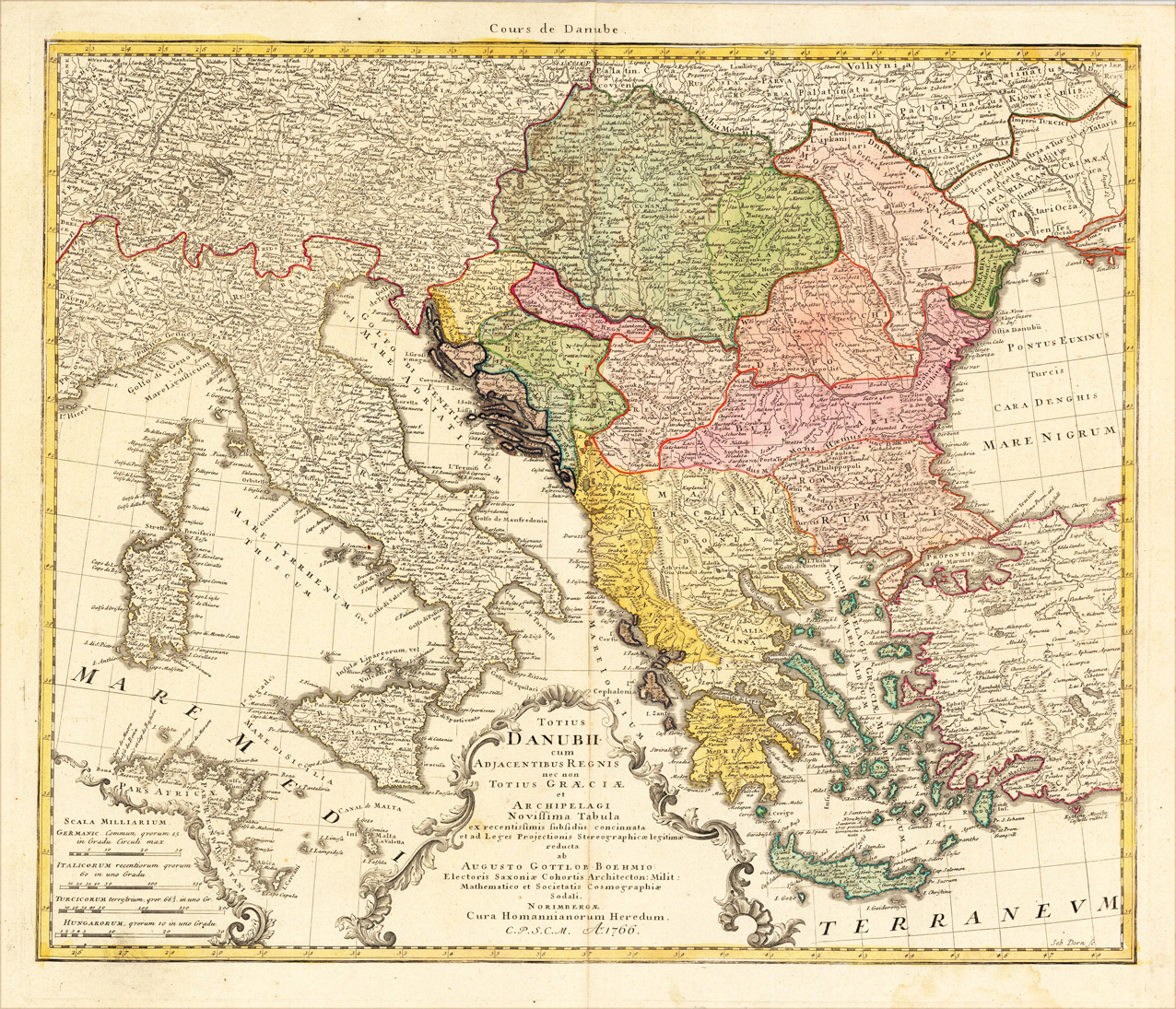
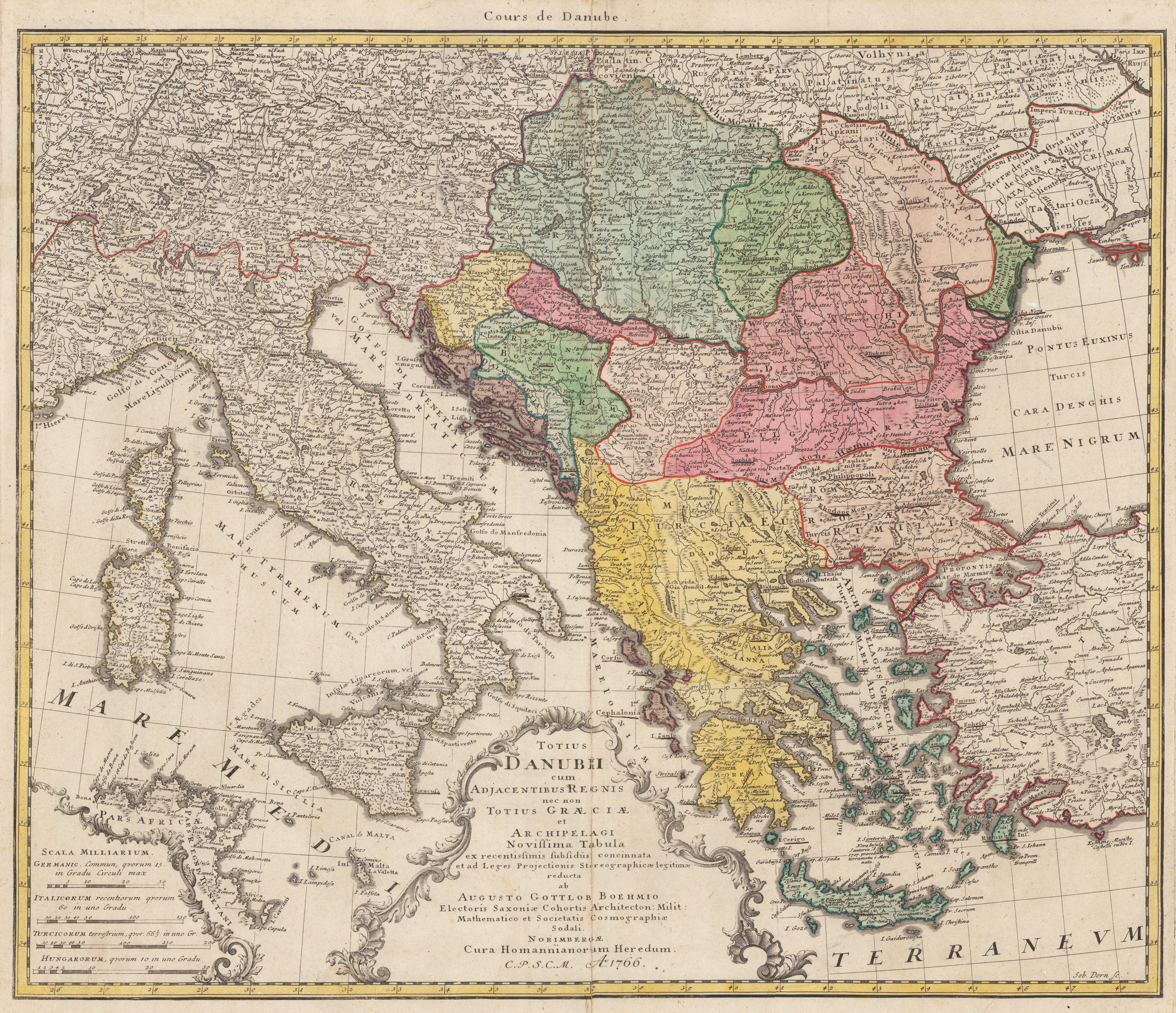
Copper-engraving, handcolored in outline and wash when published. Decorative map of mainly southern Central-Europe with Greece in its centre. The map was published at Homann's Heirs after the cartographic informations by August Gottlob Böhm. The cartographic information on this map is pretty accurate for that period. With many place names, rivers, lakes, mountains, castles, etc. At the lower bottom we find a title cartouche and a mileage scale.
Original antique copper engraving, hand colored in outline and wash when published. Decorative map of mainly southern Central-Europe with Greece in its centre. The map was published at Homann's Heirs after the cartographic informations by August Gottlob Böhm. The cartographic information on this map is pretty accurate for that period. With many place names, rivers, lakes, mountains, castles, etc. At the lower bottom we find a title cartouche and a mileage scale.
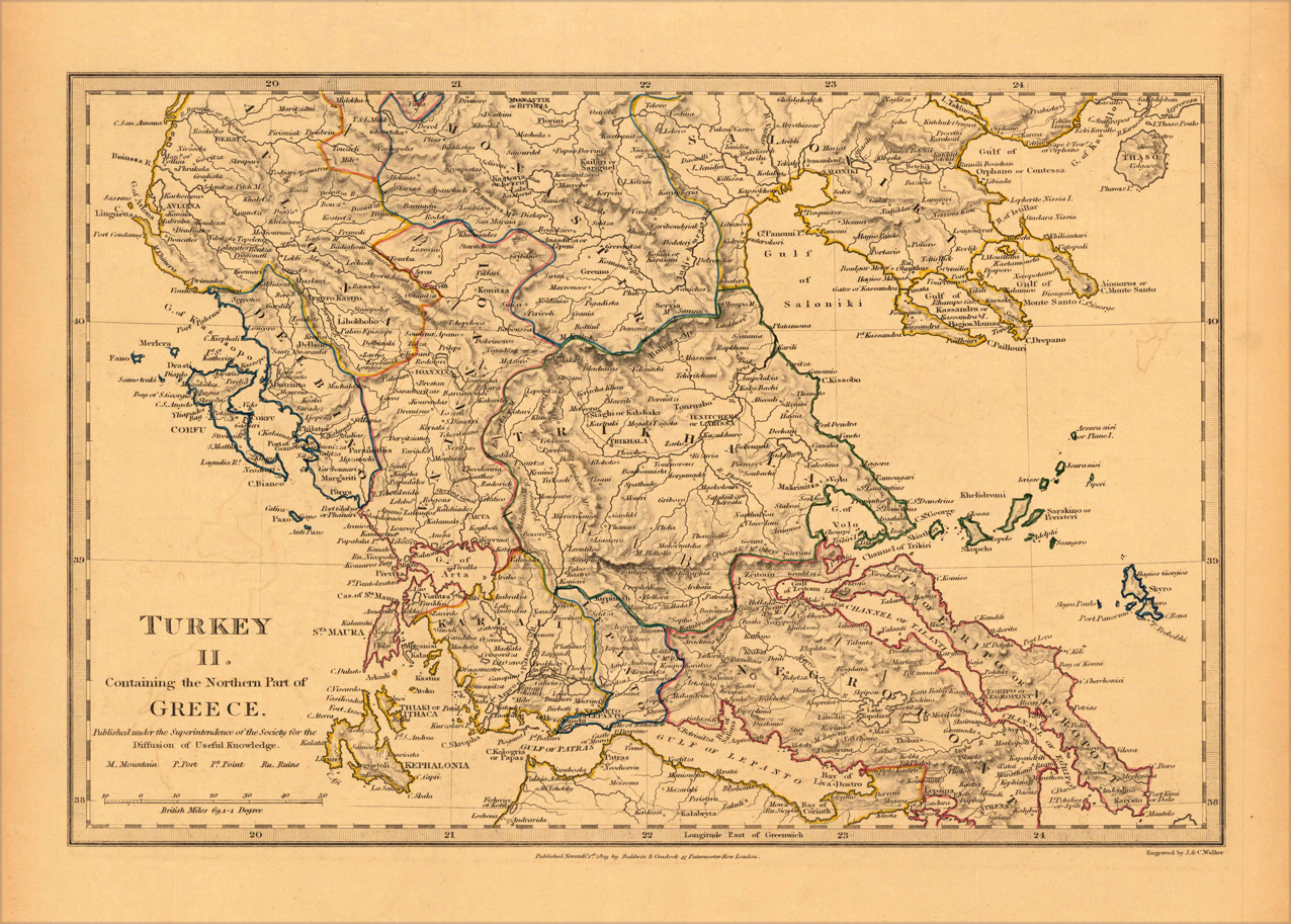
Steel engraving, hand colored in outline when published. A very decorative map which shows Turkey in Southeast Europe with the Northern parts of Greece. The map is equipped with many small place names, rivers and many regions. This regions on this map are Karlali, Lepanto, Negropont, Trikhala, Kelbingo, Monastir, etc. At the lower left corner we see the title and below the mileage scale.