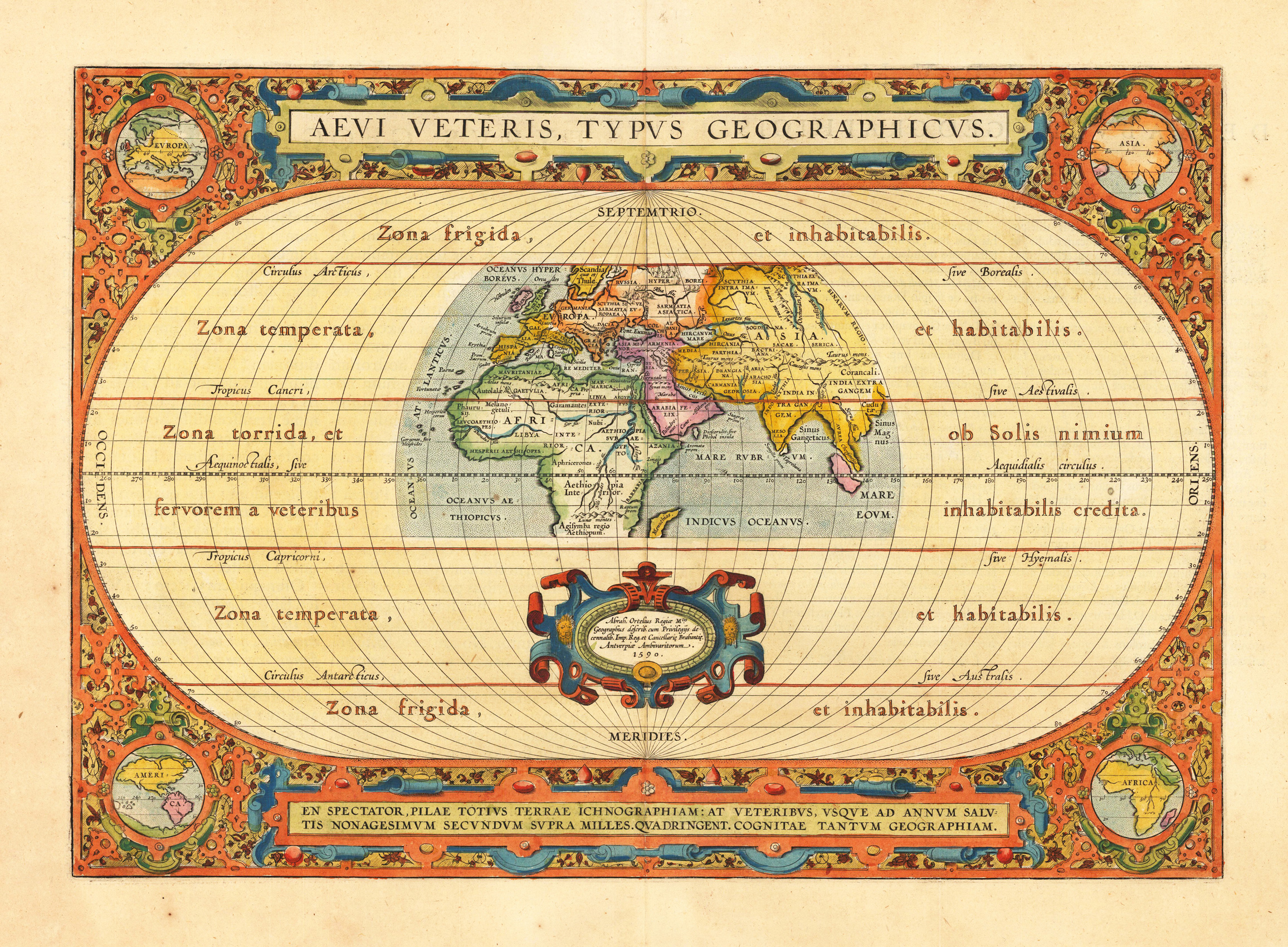
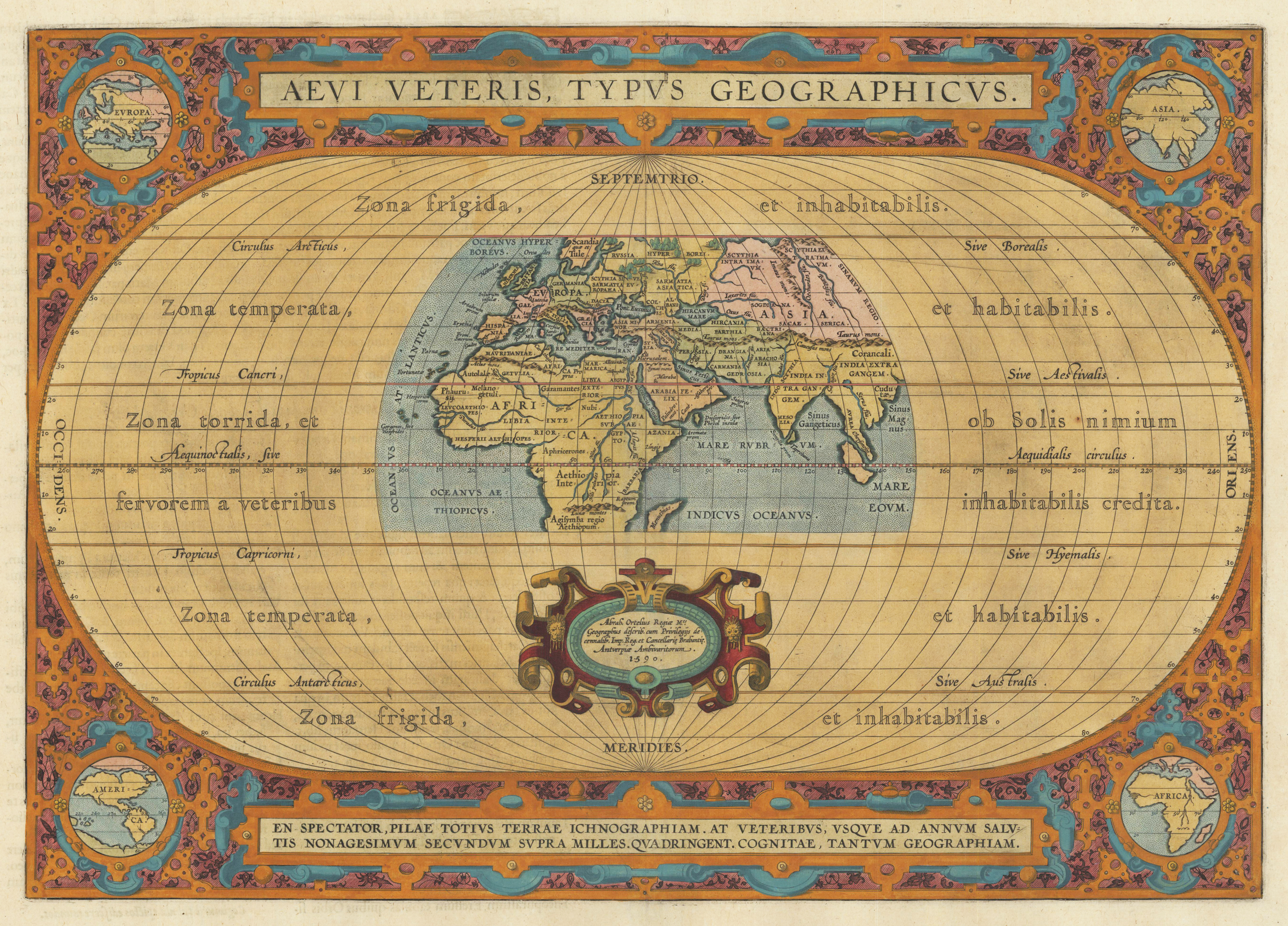
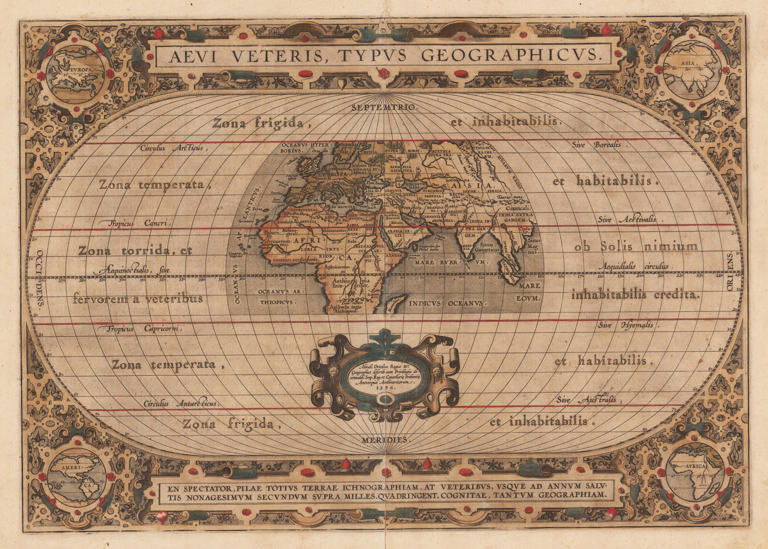
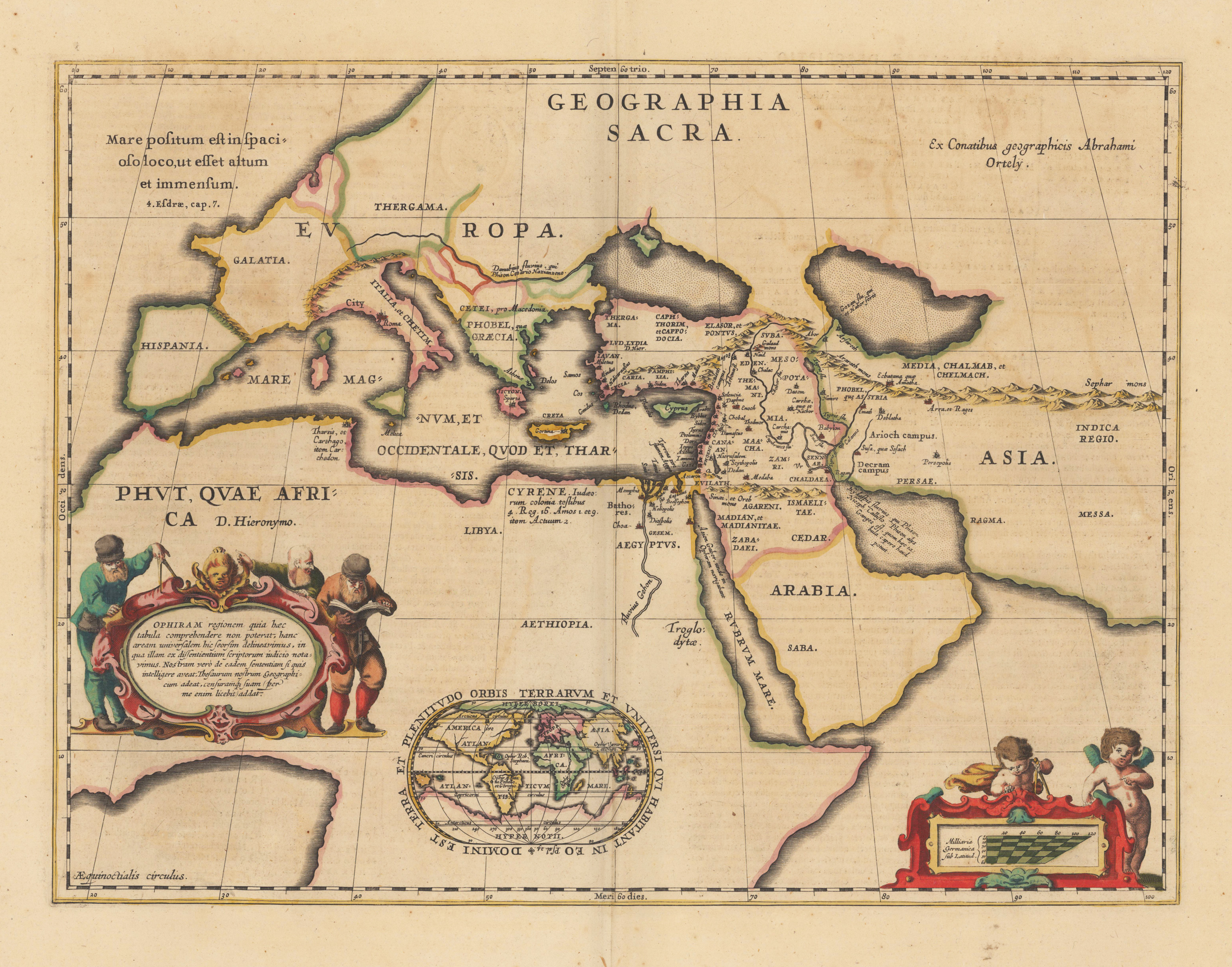
Original copper engraving, published 1624 in the famous historical Atlas "Parergon" (Latin text-edition) by Abraham Ortelius. Finely hand-colored in wash and outline. The map shows a title cartouche in the upper centre and a cartouche with the "privilegium" in the lower centre. The corners are ornated and show miniature maps. A very good example in excellent condition.
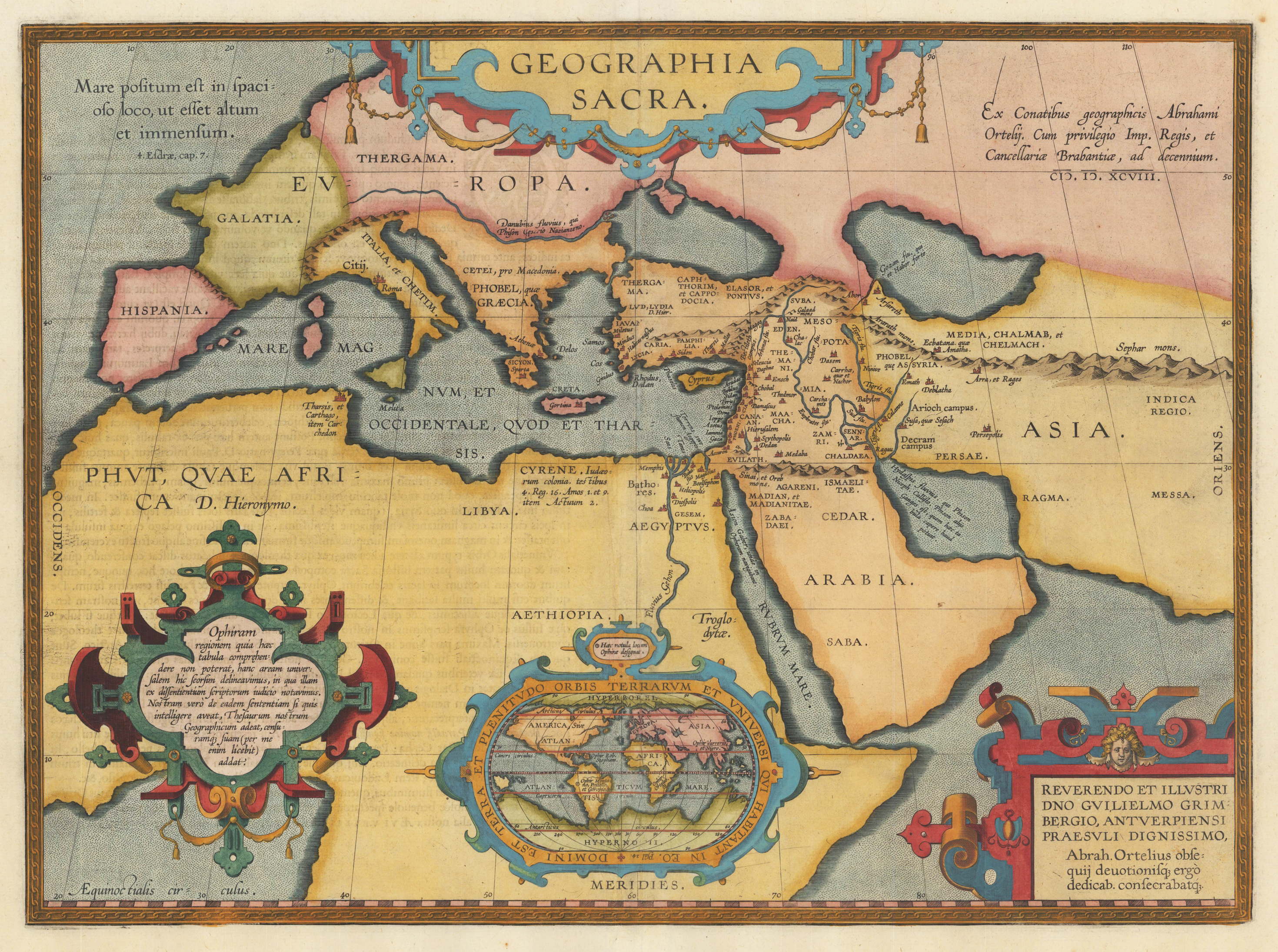
Original copper engraving, published 1612 in the famous historical atlas "Parergon" (Latin text-edition) by Abraham Ortelius. Finely hand colored in wash and outline. The map shows a renaissance title cartouche in the upper centre and a cartouche with the ,privilegium' and date ,1590' in the lower centre. The corners are ornated and show miniature maps of the four continents Europe, Asia, America and Africa. The map was published for the first time in 1590 in the edition of the ,Theatrum Orbis Terrarum' and was published until 1624 in the atlas ,Parergon' by A. Ortelius. Cartographical sources: made by Ortelius on the basis of ancient knowledge. Seventeen classical authors and their works are specifically mentioned. Later discoveries prior to Columbus, viz in the South and East Asia by the Portuguese, and in the North by Richard Hakluyt also referred to. (Broe. 186)
Original copper engraving, published 1591 in a German text-edition of the Additamentum of Abraham Ortelius atlas ,Theatrum Orbis Terrarum'. Finely oldcolored example in wash color. A fine old colored example of the 1591 rare German text edition, which was printed in 75 copies. The map was published 1590 for the first time with Latin text and appeared then in a various editions until 1624 in the atlas ,Parergon' by A. Ortelius. This is the 1st state of this map, with the name ,TAPROBANA' engraved into the island of Sumatra. Later, between 1595 and 1598, TAPROBANA was removed from Sumatra and was added next to Sri Lanka. Cartographical sources made by Ortelius on the basis of ancient knowledge. Seventeen classical authors and their works are specifically mentioned. Later discoveries prior to Columbus, viz in the South and East Asia by the Portuguese, and in the North by Richard Hakluyt also referred to. (Broe. 186)
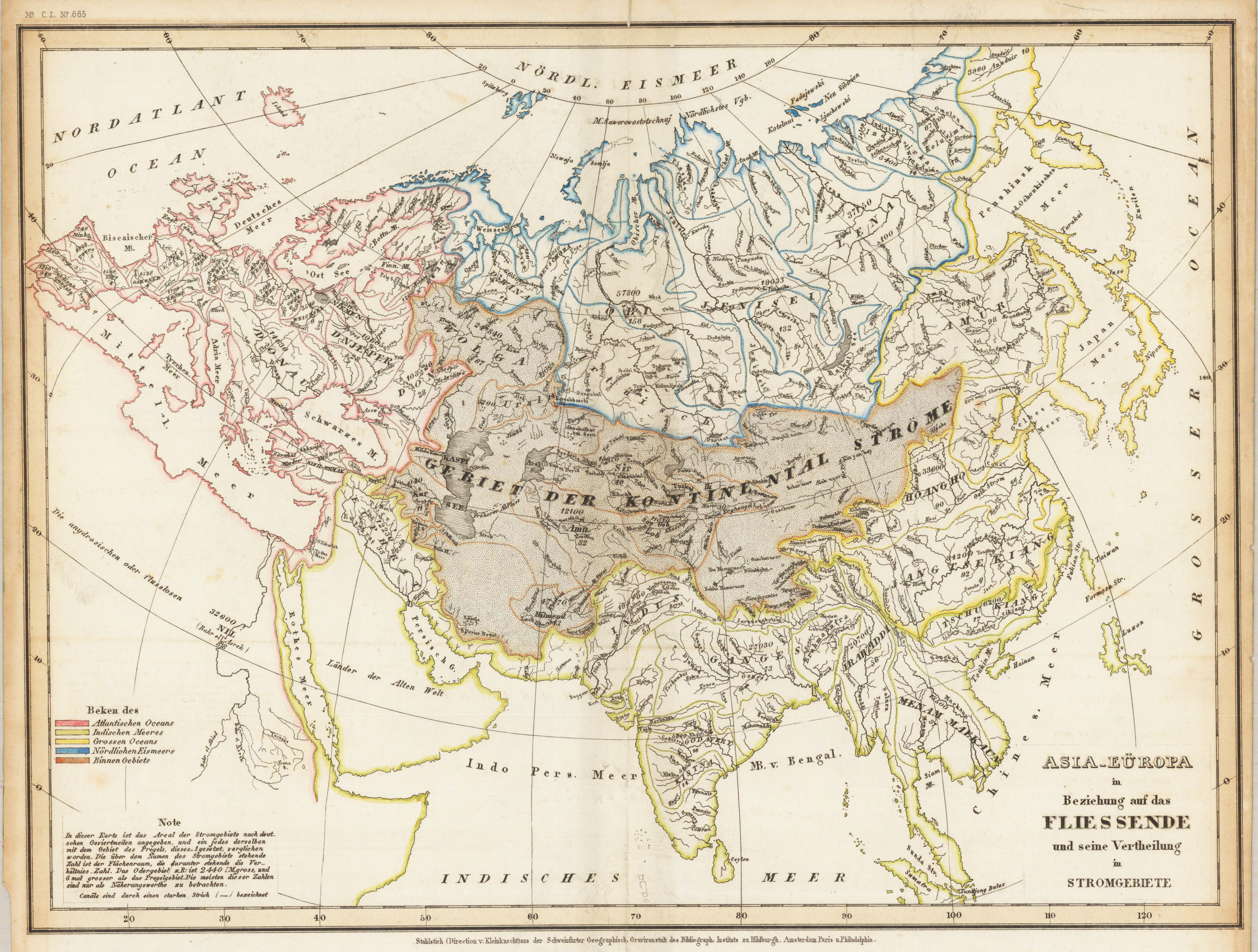
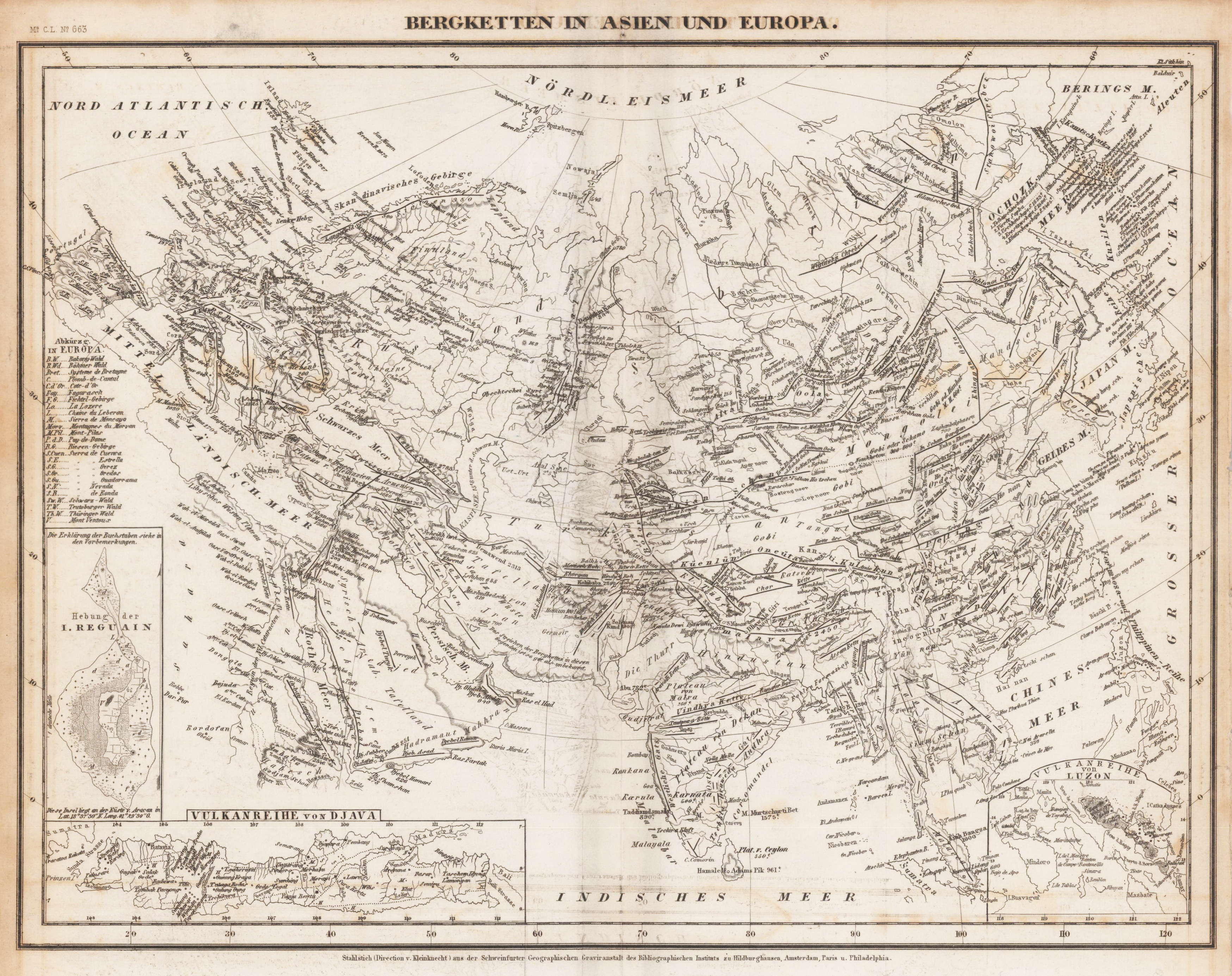
Original antique steel engraving. Joseph Meyers Zeitungs Atlas of Old and New Geography. As usual, the fine German engraving and high level of detail have continued here with these beautiful maps by Joseph Meyer. These atlas maps were produced in Hildburghausen, Amsterdam, and New York, and are considered some of the most detailed maps produced in the 19th Century.
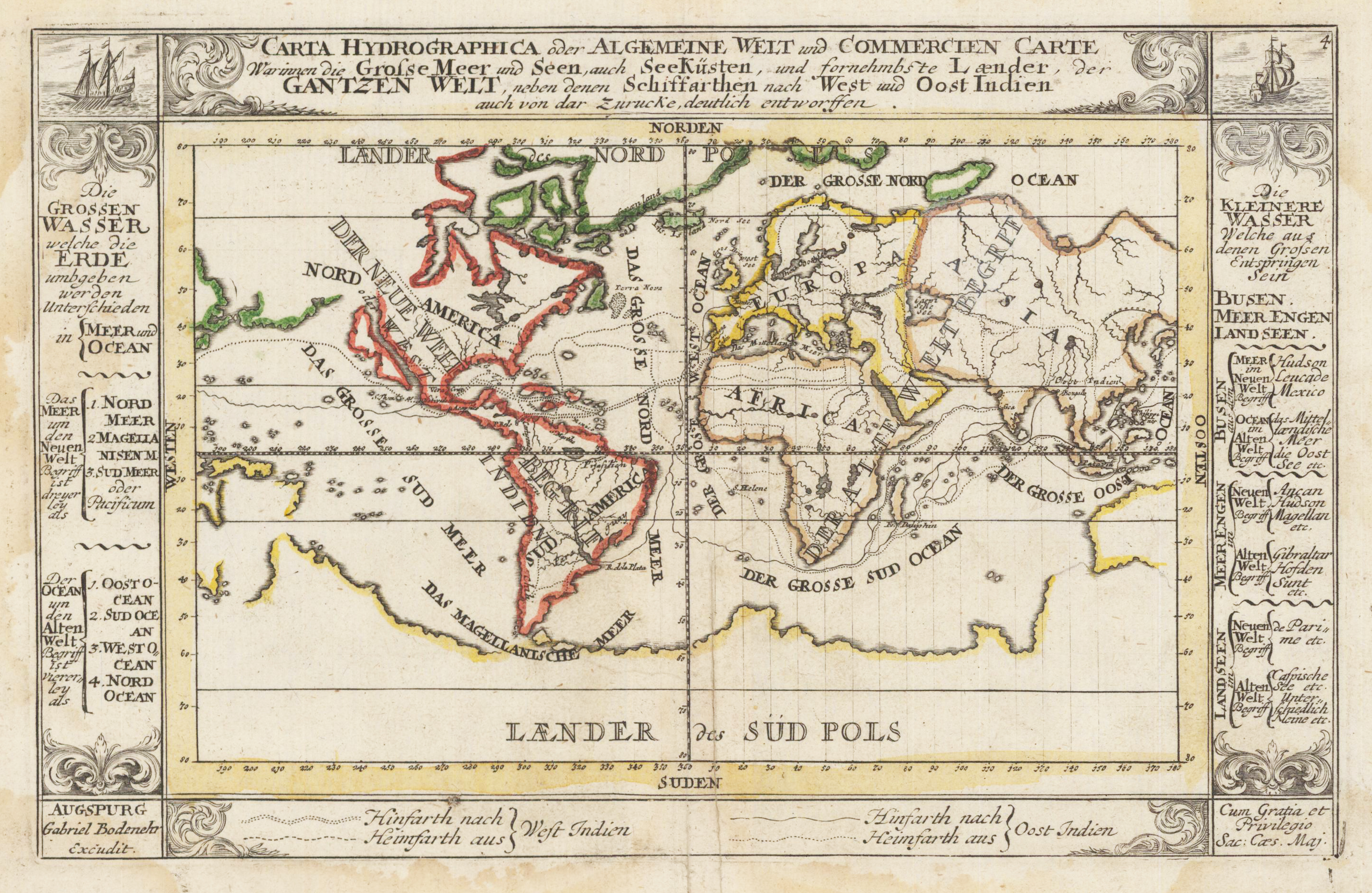
Copper engraving, colored in outline when published. This beautiful small world map shows the routes from West India and East India in different lines. Around the antique map are explanations of lakes, seas and straits. This fine engraving was published in Gabriel Bodenehr's famous serious "Europeans Macht und Pracht", a series of engravings depicting city views, plans, fortresses and castles in Europe. Many plates often are showing fortifications in Hungary and Southeast Europe, Spain, Belgium, Austria and Germany. Gabriel Bodenehr was during this period a successful publisher for maps and prints in Augsburg in Southern Germany.
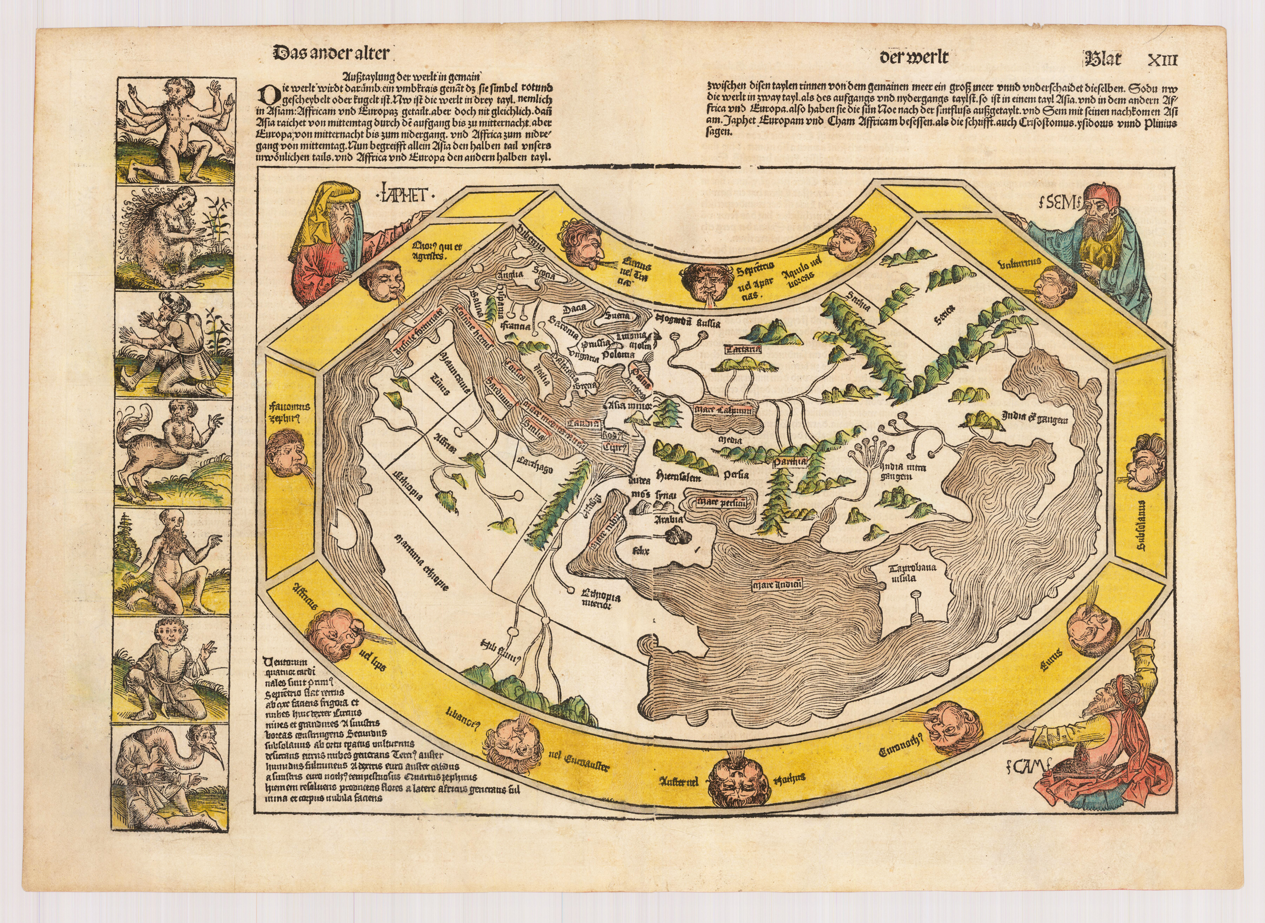
Original double page woodcut map, a rare old colored example, published the German text edition of the famous 'Nurnberg Chronicle', printed in Nuremberg in December 1493. Verso illustrated as well with fourteen small old hand colored woodcut illustrations depicting human creatures, which were believed living in far and unexplored parts of the world. The 'Nurnberg Chronicle' was the earliest and most richly illustrated incunabula and description of the world, which was as well illustrated with a small number of authentic double page city views. These woodcuts were mostly cut or designed by Hanns Pleydenwurff and Michael Wolgemut. Also Albrecht Dürer did his apprenticeship in this famous Nuremberg workshop. The world map by Hartmann Schedel is one of the earliest obtainable world maps published and printed in 1493. It was just published a couple of months after the return of Christoph Columbus in March 1493 from his first voyage to the New World, however nothing of his new discoveries was included. The world map is based on Ptolemy and is surrounded by twelve windheads, further the map is supported in three of its corners with figures of the Old Testament (Ham, Shem and Japhet) and six human creatures at the left side of the world map. 'What gives the map its present-day interest and attraction are the panels representing the outlandish creatures and beings that were thought to inhabit the furthermost parts of the earth. There are seven such scenes on the left of the map and a further fourteen on its reverse. Pliny, Pomponius Mela, Solinus and Herodotus' Fables have been the sources for many of these mythological creatures; others were doubtless born of medieval travellers' tales. Among the scenes are a six-armed man, possible based on glimpses of a file of Hindu dancers so aligned that the front figure appears to have multiple arms; a six-fingered man, a centaur, a four-eyed man from a coastal tribe in Ethiopia; a dog headed man from the Simien Mountains, a cyclops, one of the men whose heads grow beneath their shoulders, one of the crook-legged men who live in the desert and slide along instead of walking; a strange hermaphrodite, a man with one giant foot only (stated by Solinus to be used as a parasol but more likely an unfortunate sufferer from elephantisis), a man with a huge underlip (doubtless seen in Africa), a man with a waist-length hanging ears and other frightening and fanciful creatures of a world beyond' (Rodney W. Shirley - Mapping of the World #19).
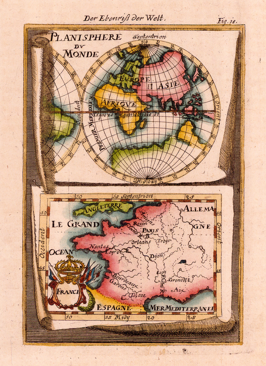
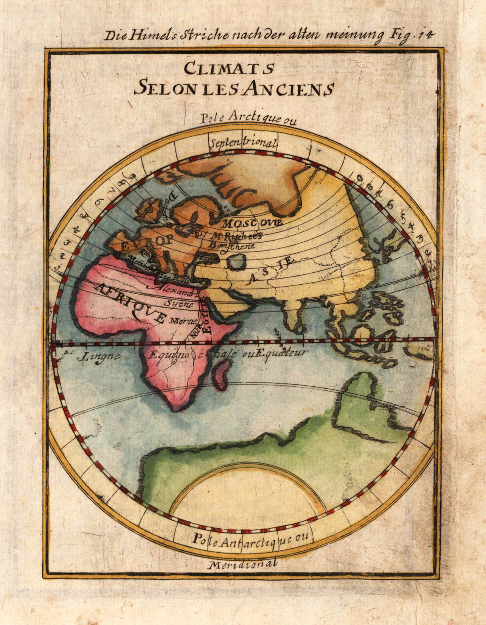
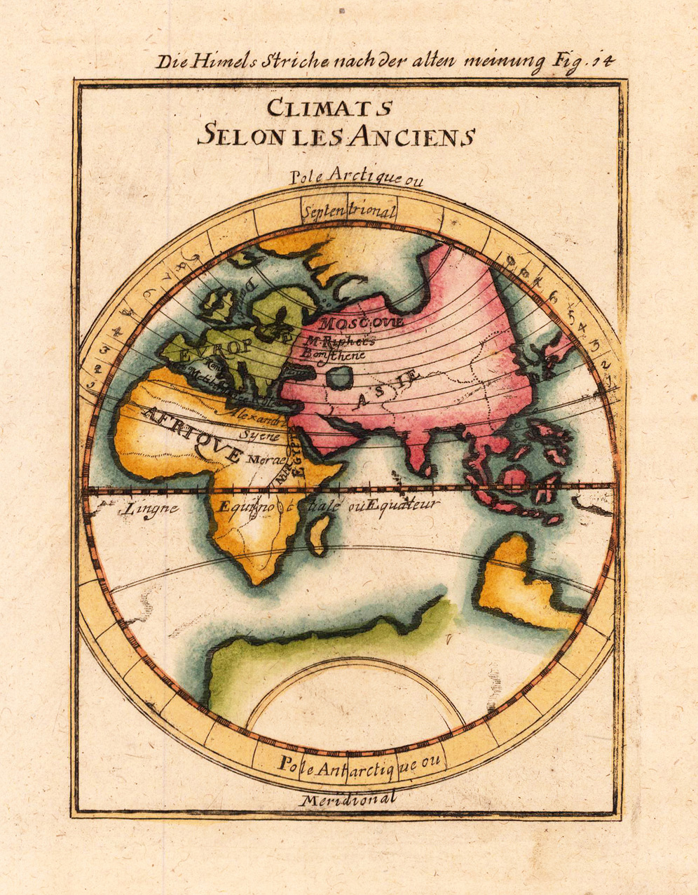
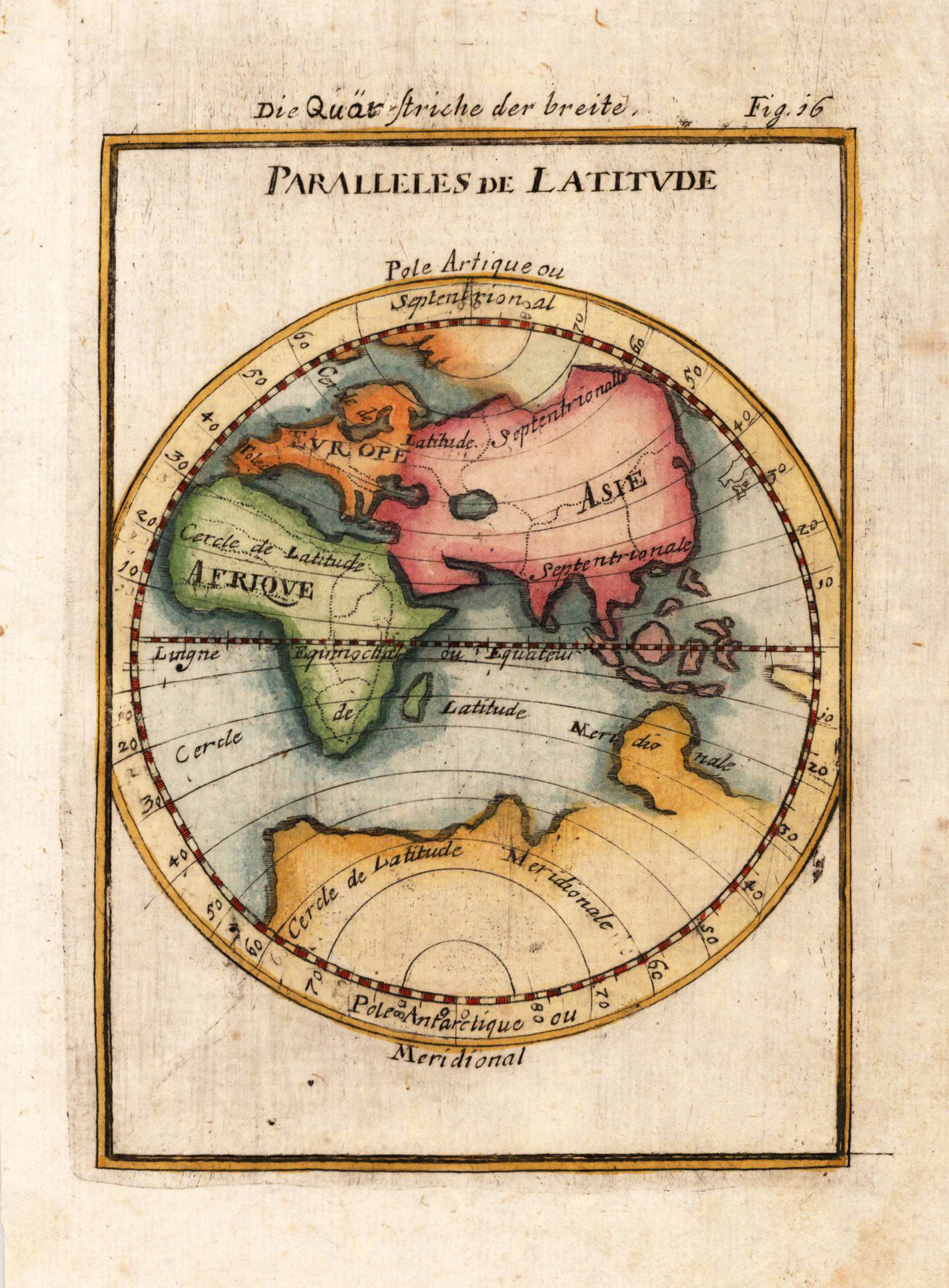
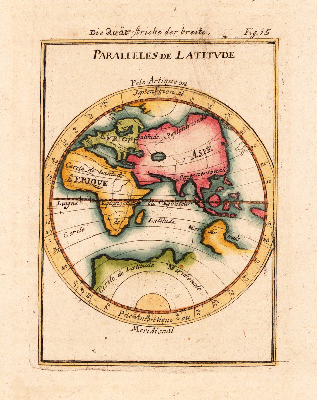
Copper engraving, hand colored in wash and outline, published in Allain Manesson Mallet's description of the world. A small and decorative world map combined with a map of France at the bottom.
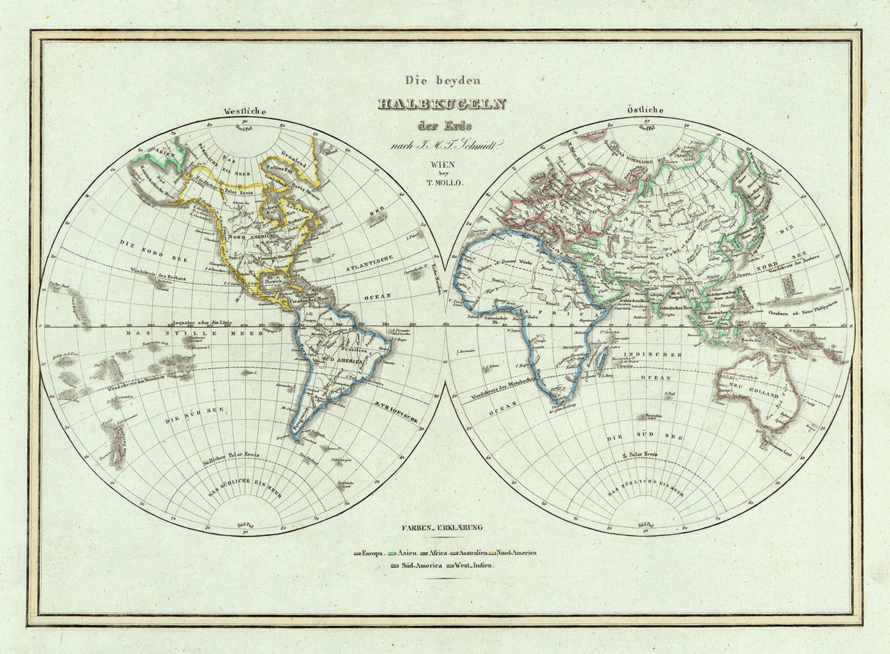
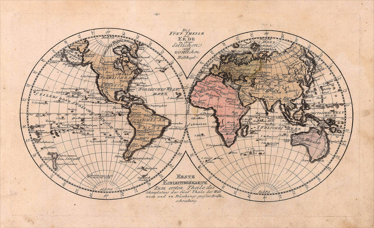
Original antique copper engraving, hand colored in outline and wash, when published. Decorative early 19th century world map by the famous Austrian publisher and cartographer Tranquillo Mollo. The map is showing the world in two hemispheres. Tranquillo Maria Laurentio Mollo (August 10, 1767 - March 29, 1837) was Vienna based Swiss/Italian graphic designer, printer, art and music dealer, and publisher active in the late 18th and early 20th centuries. From about 1792 Mollo worked with the Vienna firm Artaria and Company. In 1798 he separated from Artaria to found, along with partner Franz Bernardini, his own music, art, and map publishing company, T. Mollo and Co. The partner collapsed after one year and Mollo took a new partner, Domenico Artaria, a scion of the Artaria family. In 1802 Mollo and Domenico acquired Artaria and Company from Carlo Artaria. Domenico and Mollo parted ways in 1804, after which Mollo published independently. Under his own imprint, he became one of Austria's most important globe and map publishers. He collaborated extensively with English and French publishers to bring French material to his work. Among his more significant collaborators was the Vienna publisher Joseph Dirwaldt. In 1832 Mollo passed the company to his sons, Eduard (1799-1842) and Florian Mollo (1803-1869). The Mollo brothers ran the business until 1839, three years after Tranquillo Mollo's death, before dividing the concern into separate business. Mollo married Dorothea Defelavis († 29. Juli 1822). (Wikipedia)
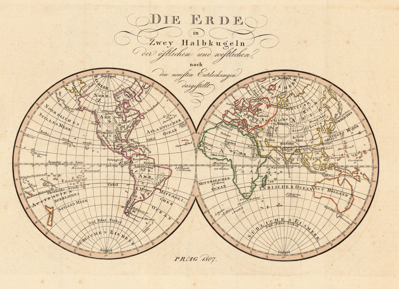
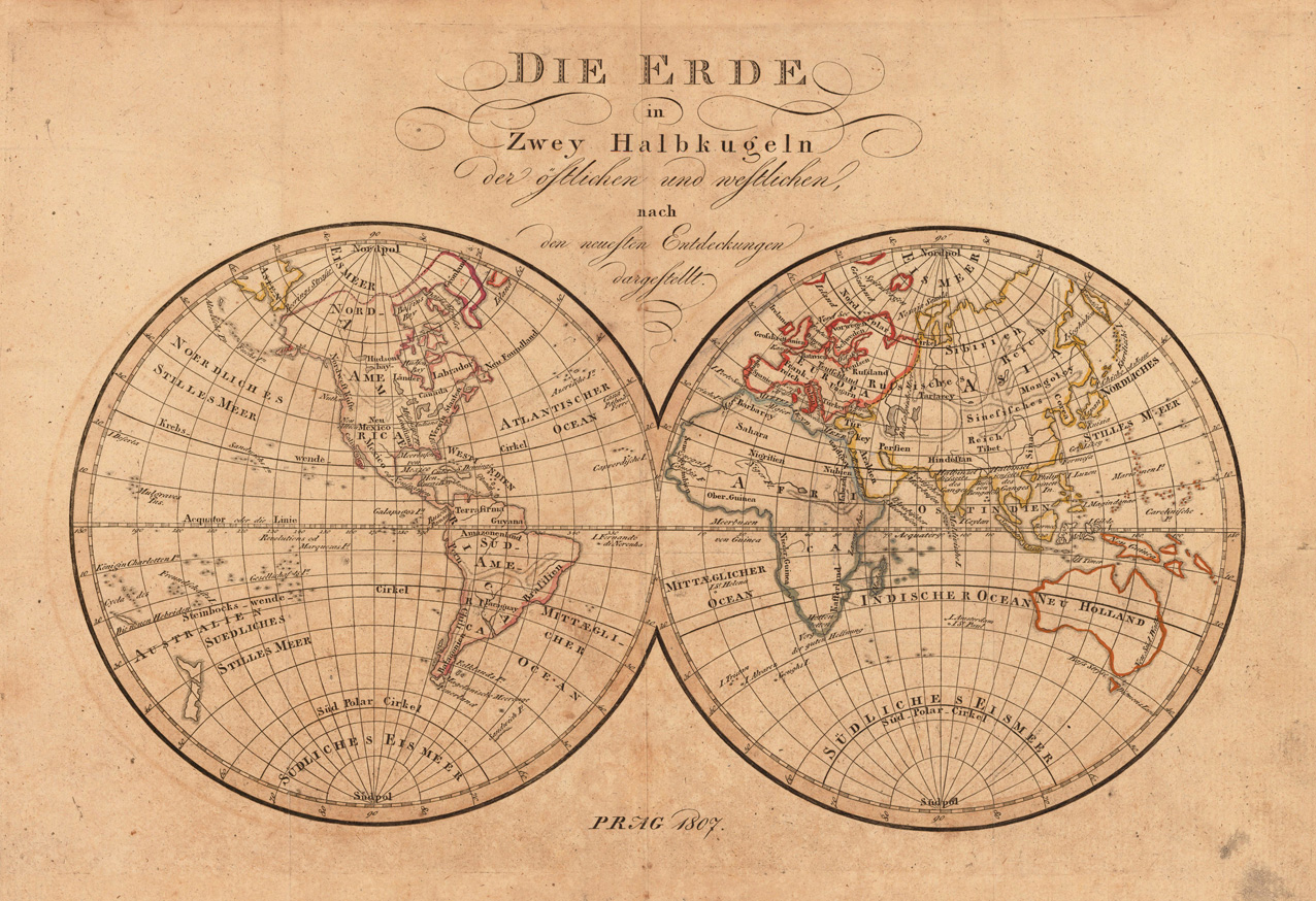
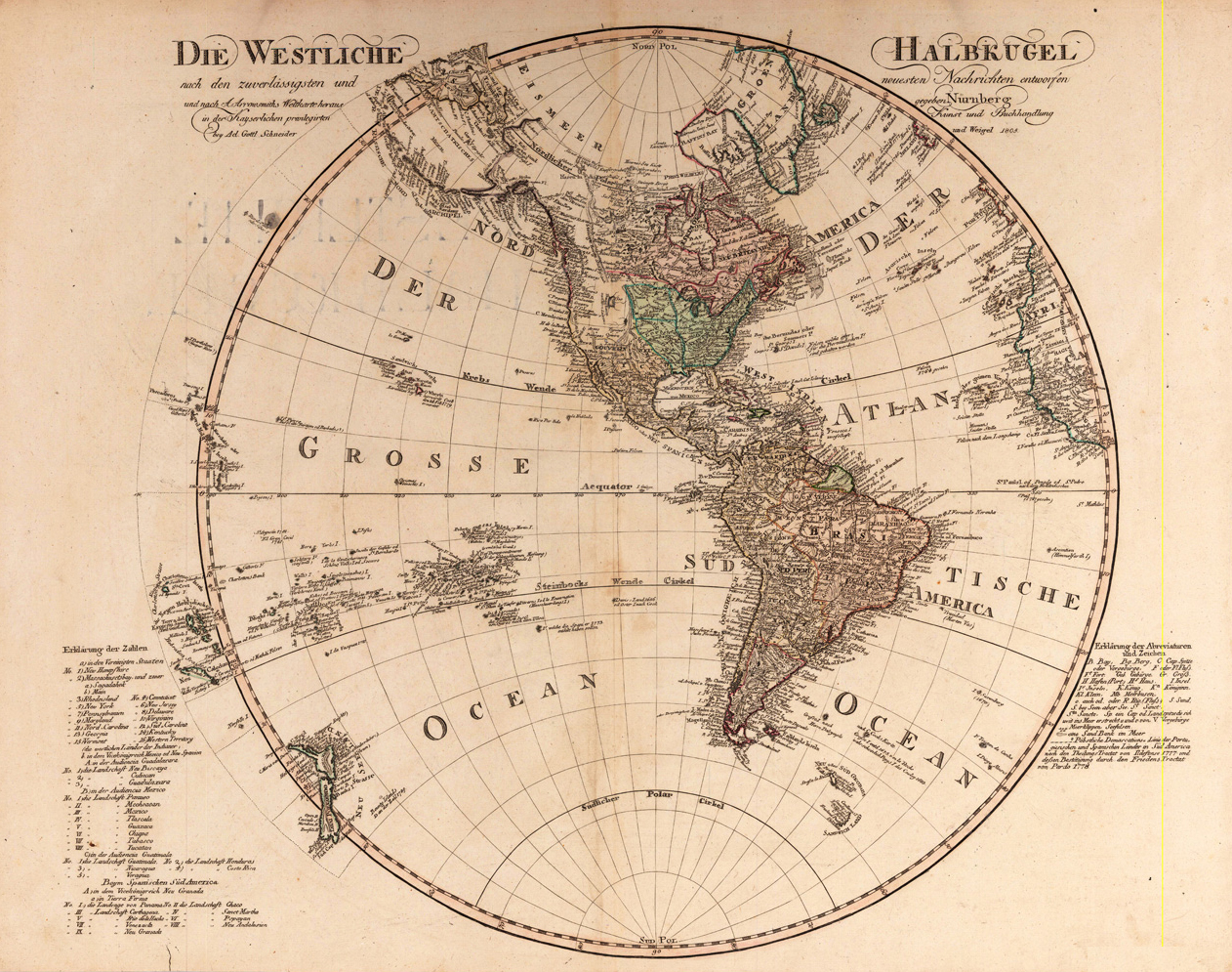
Original antique copper engraving, hand colored in outline and wash, when published. A decorative world map by mapmaker Tranquillo Mollo, who during that period in the Austrian-Hungarian empire in Vienna and Prague. It shows the globe in two hemispheres after the newest discoveries and is nicely engraved and hand colored in outline. Tranquillo Maria Laurentio Mollo (August 10, 1767 - March 29, 1837) was Vienna based Swiss/Italian graphic designer, printer, art and music dealer, and publisher active in the late 18th and early 20th centuries. From about 1792 Mollo worked with the Vienna firm Artaria and Company. In 1798 he separated from Artaria to found, along with partner Franz Bernardini, his own music, art, and map publishing company, T. Mollo and Co. The partner collapsed after one year and Mollo took a new partner, Domenico Artaria, a scion of the Artaria family. In 1802 Mollo and Domenico acquired Artaria and Company from Carlo Artaria. Domenico and Mollo parted ways in 1804, after which Mollo published independently. Under his own imprint, he became one of Austria's most important globe and map publishers. He collaborated extensively with English and French publishers to bring French material to his work. Among his more significant collaborators was the Vienna publisher Joseph Dirwaldt. In 1832 Mollo passed the company to his sons, Eduard (1799-1842) and Florian Mollo (1803-1869). The Mollo brothers ran the business until 1839, three years after Tranquillo Mollo's death, before dividing the concern into separate business. Mollo married Dorothea Defelavis († 29. Juli 1822). (Wikipedia)
Original copper engraving, hand colored in wash and outline, when published. A decorative small world map of the Eastern and Western hemispheres by the Austrian cartographer Franz Johann Josef von Reilly. The Austrian cartographer Franz Joh. Josef von Reilly published around 1789 in Vienna a large amount of very detailed district maps of Central Europe. These maps are famous for their large scales and the many details they provide. Even tiny place names can be found on those maps, rivers, mountains, streets, monasteries are as well engraved. The maps, which Franz J. Reilly engraved, were especially designed for the Austrian Royal house and show countries, provinces and districts belonging to the 'Austrian-Hungarian Empire'.
Original antique copper engraving, hand colored in outline and wash when published. This is a hemispherical map of Western Hemisphere with notes and dates of discovery. Johann Christoph Weigel, known as Christoph Weigel the Elder (9 November 1654 – 5 February 1725), was a German engraver, art dealer and publisher. He was born at Redwitz, Free imperial city of Eger in Egerland, and died in Nuremberg, aged 70. The cartographer Weigel worked around 1719 in Nürnberg and his maps are showing the typical style of this period in map making in Southern German. He worked very close as with Johann B. Homann in Nürnberg. All his maps were hand colored in outline and decorative body color immediatelly in his printing house, after they were printed.
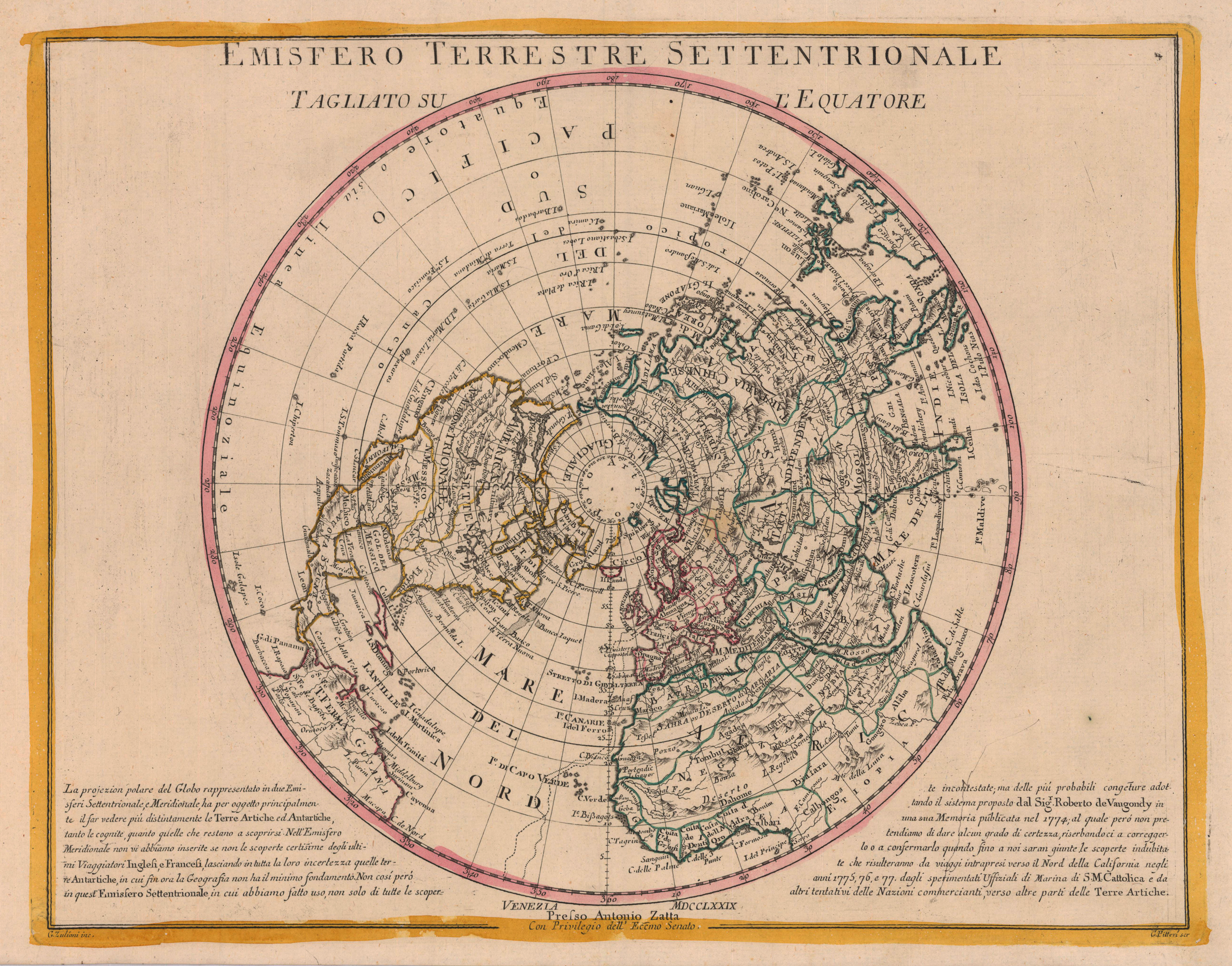
Copper engraving, in contemporary original color in outline. Published in Zatta's "Atlante Novissimo". Decorative map by the famous late 18th century north-italian cartographer Antonio Zatta. In the corner we find a description related to California in 1775-77 and information the cartographic sources by Robert de Vaugondy.
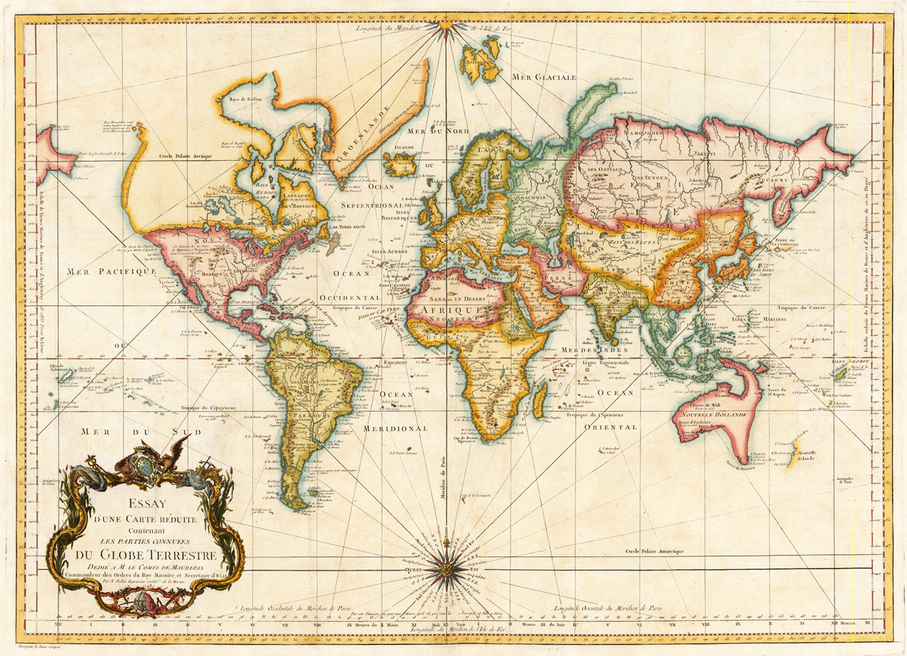
Copper engraving, hand colored in outline and wash. A fine detailled and interesting map engraved by Bellin after earlier voyages. The map was designed by Bourgoin le Jeune. Published in a Bellin atlas edition in Paris, which contained solely maps of Bellin originally published in the travel books by Antoine Francois Prevost D'Exiles. The atlas was dated c. 1756-60, Paris however it should be dated probably c. 1784, because this world map was published in volume XX of Prevost D'Exiles voyages and also the National Library of Australia catalogue refers to that error in their bibliographic information on that map. „Probably removed from an edition of: Prévost's Histoire générale des voyages, for which Bellin did the maps--Cf. BN; BM. "The date 1748 on the imprint is an engraver's error, transposing the '8' and '4': the map shows the complete coastline of New Zealand, as mapped by Captain Cook in the early 1770s, but not Hawaii, the Bering Straits and the other discoveries of Cook's Third Voyage."--Vendors notes, provided with National Library of Australia's copy. In French."
Original antique copper engraving, decorative hand colored in outline when published. Published in a Latin text edition of J. Jansson's historical Atlas. A highly decorative map, which is ornated with a large decorative title cartouche at the bottom. On the top a large renaissance cartouche with title. In the lower centre we find a decorative inset with a small decorative world map after Abraham Ortelius. Johannes Janssonius (1588, Arnhem – buried July 11, 1664, Amsterdam) (born Jan Janszoon, in English also Jan Jansson) was a Dutch cartographer and publisher who lived and worked in Amsterdam in the 17th century. Janssonius was born in Arnhem, the son of Jan Janszoon the Elder, a publisher and bookseller. In 1612 he married Elisabeth de Hondt, the daughter of Jodocus Hondius. He produced his first maps in 1616 of France and Italy. In 1623 Janssonius owned a bookstore in Frankfurt am Main, later also in Danzig, Stockholm, Copenhagen, Berlin, Königsberg, Geneva and Lyon. His wife Elisabeth died in 1627 and he married Elisabeth Carlier in 1629. He formed a partnership with his brother in law Henricus Hondius, and together they published atlases as Mercator/Hondius/Janssonius. Under the leadership of Janssonius the Hondius Atlas was steadily enlarged. Renamed Atlas Novus, it had three volumes in 1638, one fully dedicated to Italy. In 1646, a fourth volume came out with "English County Maps", a year after a similar issue by Joan Blaeu. Janssonius' maps are similar to those of Blaeu, and he is often accused of copying from his rival, but many of his maps predate those of Blaeu and/or covered different regions. By 1660, at which point the atlas bore the appropriate name "Atlas Major", there were 11 volumes, containing the work of about a hundred credited authors and engravers. It included a description of "most of the cities of the world" (Townatlas), of the waterworld (Atlas Maritimus in 33 maps), and of the Ancient World (60 maps). The eleventh volume was titled Atlas of the Heavens (a type of celestial cartography) by Andreas Cellarius. Editions were printed in Dutch, Latin, French, and a few times in German. After Janssonius's death, the publishing company was continued by his son-in law, Johannes van Waesbergen. The London bookseller Moses Pitt attempted publication of the Atlas Major in English, but ran out of resources after the fourth volume in 1683. (Wikipedia)
Original copper engraving, published 1612 in the famous historical atlas "Parergon" (Latin text-edition) by Abraham Ortelius. Finely later hand colored in wash and outline. Depicted is the ancient world focussing the Middle East with Asia Minor, Syria and Persia and neighbouring areas. Richly decorated with renaissance text cartoiuches and ornated in the lower centre with an oval decorative modern world map by Abraham Ortelius. This map of ,Sacred Geography' is based on holy writers in the Old and New Testament following the translation of the Septuaginta.
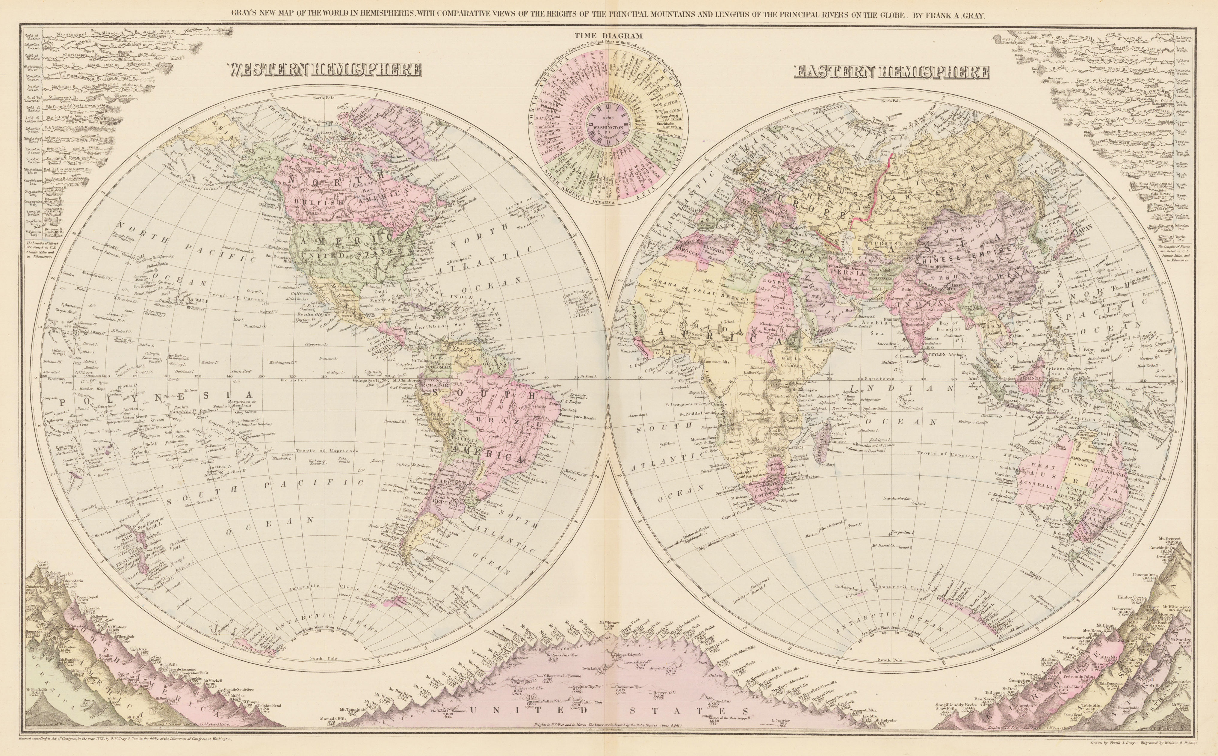
Antique lithograph, original color in outline and wash. This very interesting antique map shows the eastern and the western Hemisphere, in the middle is an time diagram, indicating the local time in the fifty principal cities of the world, while noon in Washington. In both upper corners the rivers of the world are marked with their lengths. Under the two Hemispheres are the mountains with the heights from North and South America, Oceanica, the United States, Europe, Asia, Africa and Australia. This map was drawn by Frank A. Gray and engraved by William H. Holmes. Dated, copyrighted, and entered according to Act of Congress, in the year 1879, by O. W. Gray & Sons, in the office of the Librarian of Congress at Washington.
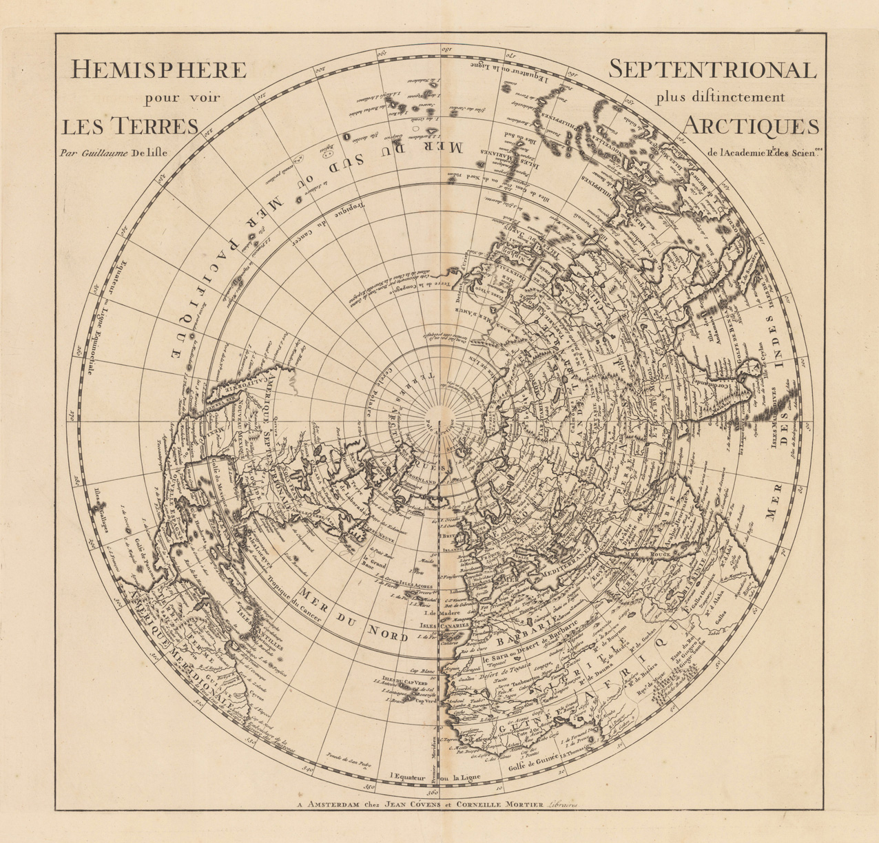
Copper-engraving, uncoloured as published. Fine example of a strong impression of this large map showing the Northern hemisphere with North America, the Arctic, the Pacific, Asia and Europe after the cartographic source by the French map maker Guillaume De Isle.