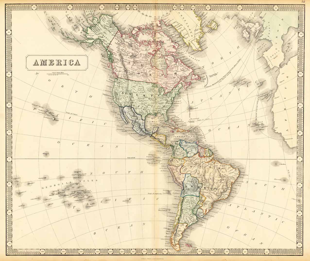
Lithograph, original hand colored in outline. Decorative double page hand colored lithograph antique map, showing detailed the Americas around 1852, as well transatlantic ship-lines to the East- and West coast are shown on the map. Hand colored decorative in outline and wash when published.
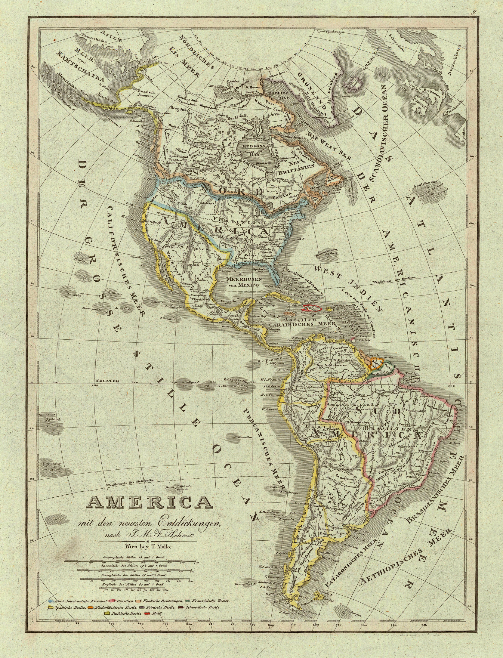
Original antique copper engraving after Fr. Schmitz, in contemporary original color in outline. Detailed map of the Americas, showing North America with Russian America, Greenland and the West Indies. A good and clear map, showing very well the political divisions of the various states (the North American free-states are shown in blue outline color). Below the title we find a mileage scale and a table with various colors to explain the various possessions of the different countries in North and South America. Tranquillo Maria Laurentio Mollo (August 10, 1767 - March 29, 1837) was Vienna based Swiss/Italian graphic designer, printer, art and music dealer, and publisher active in the late 18th and early 20th centuries. From about 1792 Mollo worked with the Vienna firm Artaria and Company. In 1798 he separated from Artaria to found, along with partner Franz Bernardini, his own music, art, and map publishing company, T. Mollo and Co. The partner collapsed after one year and Mollo took a new partner, Domenico Artaria, a scion of the Artaria family. In 1802 Mollo and Domenico acquired Artaria and Company from Carlo Artaria. Domenico and Mollo parted ways in 1804, after which Mollo published independently. Under his own imprint, he became one of Austria's most important globe and map publishers. He collaborated extensively with English and French publishers to bring French material to his work. Among his more significant collaborators was the Vienna publisher Joseph Dirwaldt. In 1832 Mollo passed the company to his sons, Eduard (1799-1842) and Florian Mollo (1803-1869). The Mollo brothers ran the business until 1839, three years after Tranquillo Mollo's death, before dividing the concern into separate business. Mollo married Dorothea Defelavis († 29. Juli 1822). (Wikipedia)
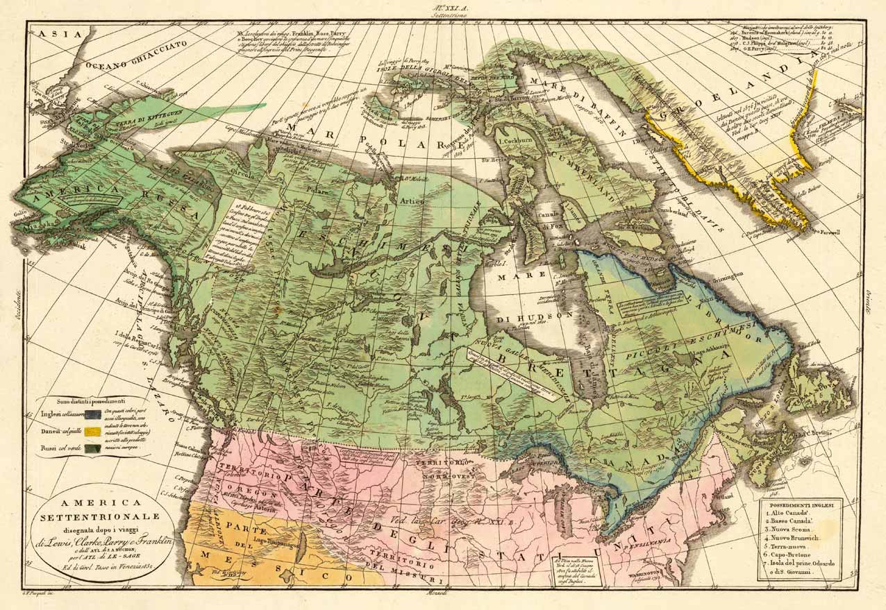
Copper engraving, hand colored in wash when published. This map of North America published by G. Tasso in Venice is based on Le Sage's and Buchon's earlier map of North America. The title cartouche also refers to the earlier explorations In North America by Lewis & Clark, Parry and Franklin. The impressive map shows North America from Greenland over the Hudson Bay towards Alaska in the very far Northwest. The Missouri and Oregon territories are nicely shown on the map. At the left side a small table with color explanations for the various possessions in North America. An interesting map for the collector of the history of the North America.
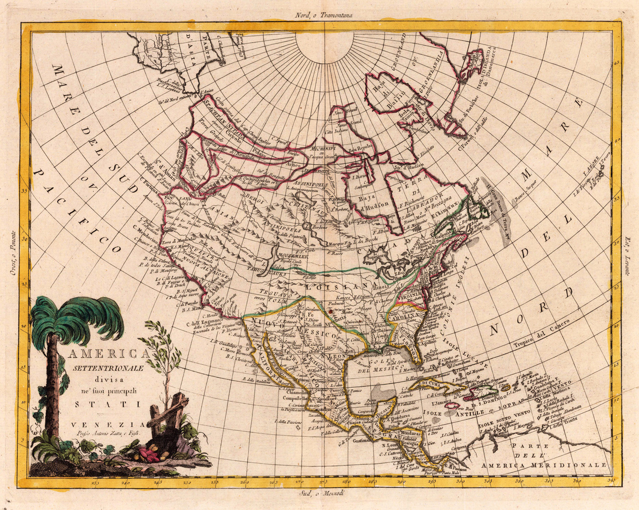
Copper engraving, in contemporary original color in outline. Published in Zatta's "Atlante Novissimo".
Antonio Zatta (fl. 1757-1797) was a prominent Italian editor, cartographer, and publisher. Little is known about his life beyond his many surviving published works. He lived in Venice and his work flourished between 1757 and 1797. He is best known for his atlas, Atlante Novissimo (1779-1785), and for his prolific output of prints and books that were both precisely made and aesthetically pleasing. Zatta clearly had a large network from which to draw information; this is how he was able to publish the first glimpse of the islands visited by Captain Cook in the Atlante Novissimo. Zatta also published books of plays and architecture.
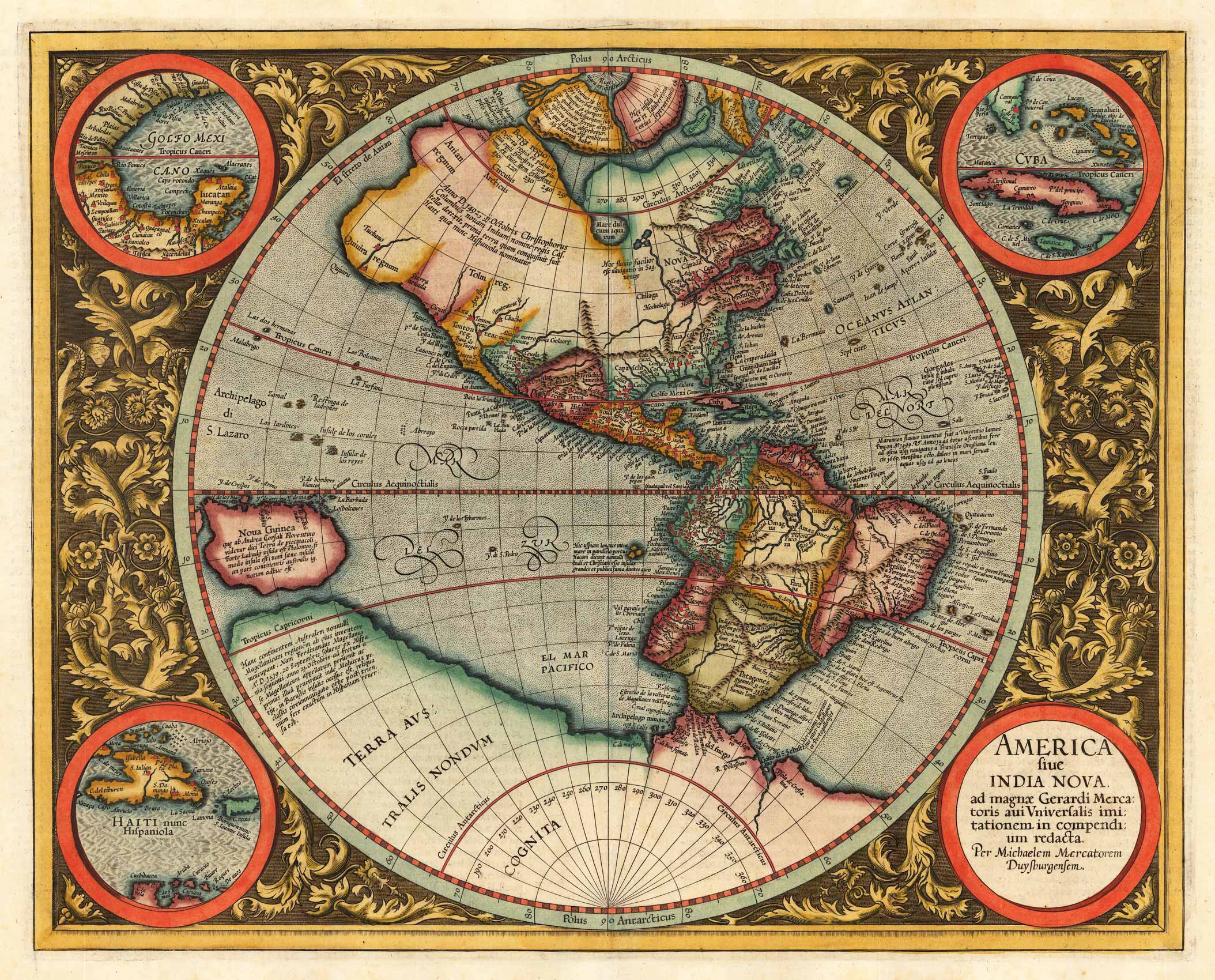
Copper engraving, hand colored in outline and wash. French text edition. A highly decorative map of the Americas by the famous Dutch cartographer Gerard Mercator published in his atlas 1619 in Amsterdam. The highly decorative map is based on Rumold Mercator's world map of 1587, it is ornated with three inset maps in the corners and fine engraved floral decorations in between. Title cartouche in the lower right corner with dedication to Michael Mercator in Duisburg.
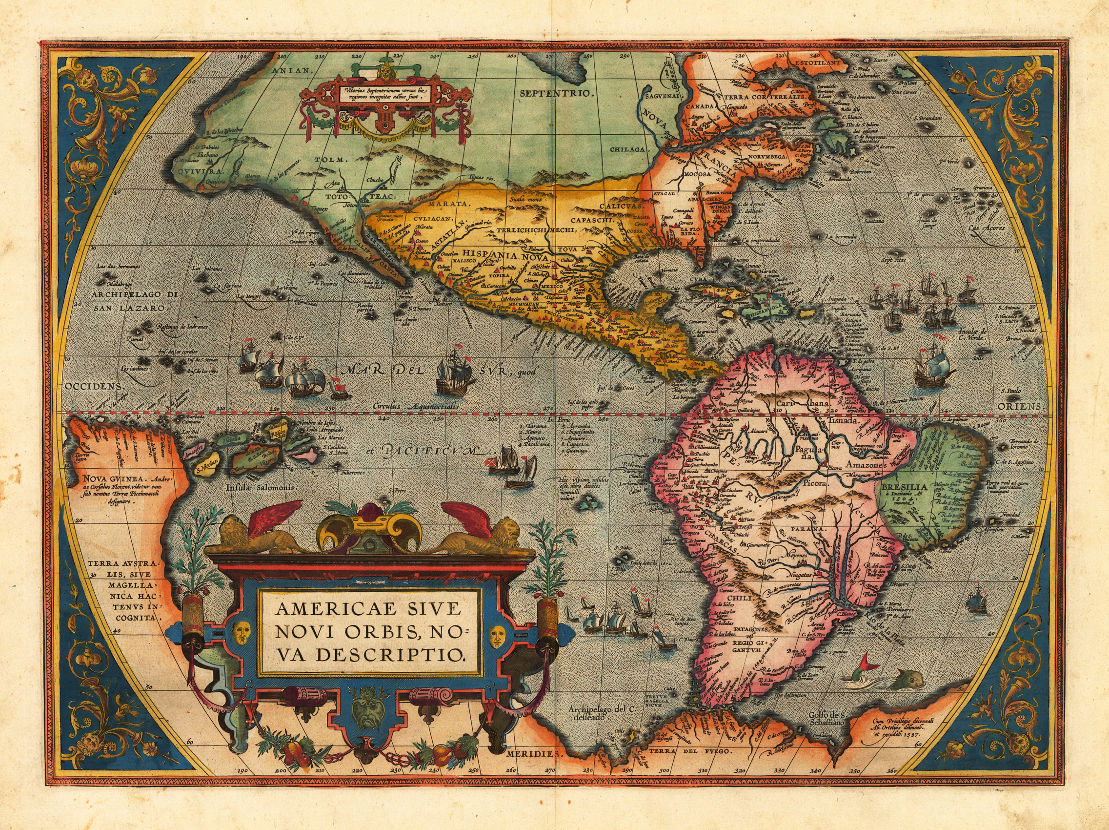
Original copper engraving, published 1598 in a French text edition of the 'Theatrum Orbis Terrarum'. Finely hand colored in wash and outline. The map shows a decorative title cartouche on the lower left side and the "privilegium" on the lower right corner. The corners are decorated with ornaments. Moreover the map is ornated with ships, sea monsters and animals. This is the third plate, which A. Ortelius used to delineate the American continent. It was published for the first time in 1589. 'This one is most easily identified by the lack of a bulge to the southwestern coastline of South America. It is mostly correct in showing a southerly extending shoreline. This is also the only one of the three with his imprint, where he states that he was his author.' (Burd.)
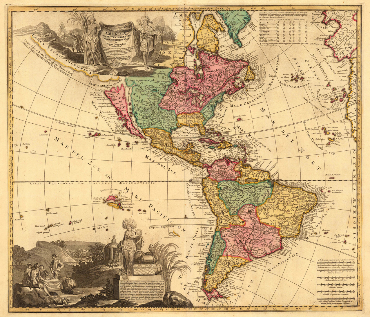
Copper engraving, hand colored in outline and wash. A fine map of the Americas by Petrus Schenk after A. F. Zürner published in Nicolaus Visscher's atlas. The highly decorative map, ornated with two allegoric cartouches is depicting the Americas around 1704. The cartouches are showing are showing indians and trading merchants. California is shown as an island.
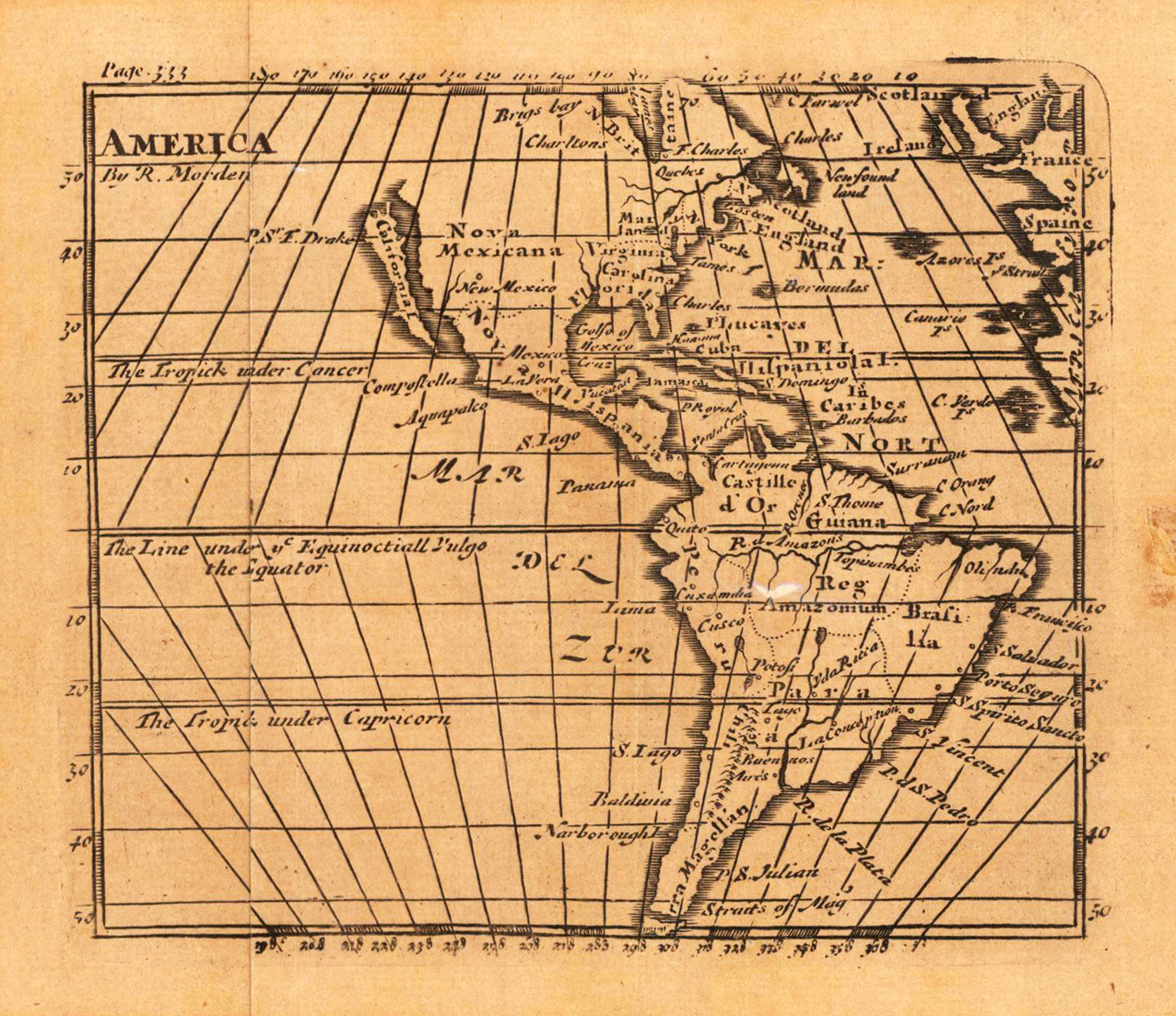
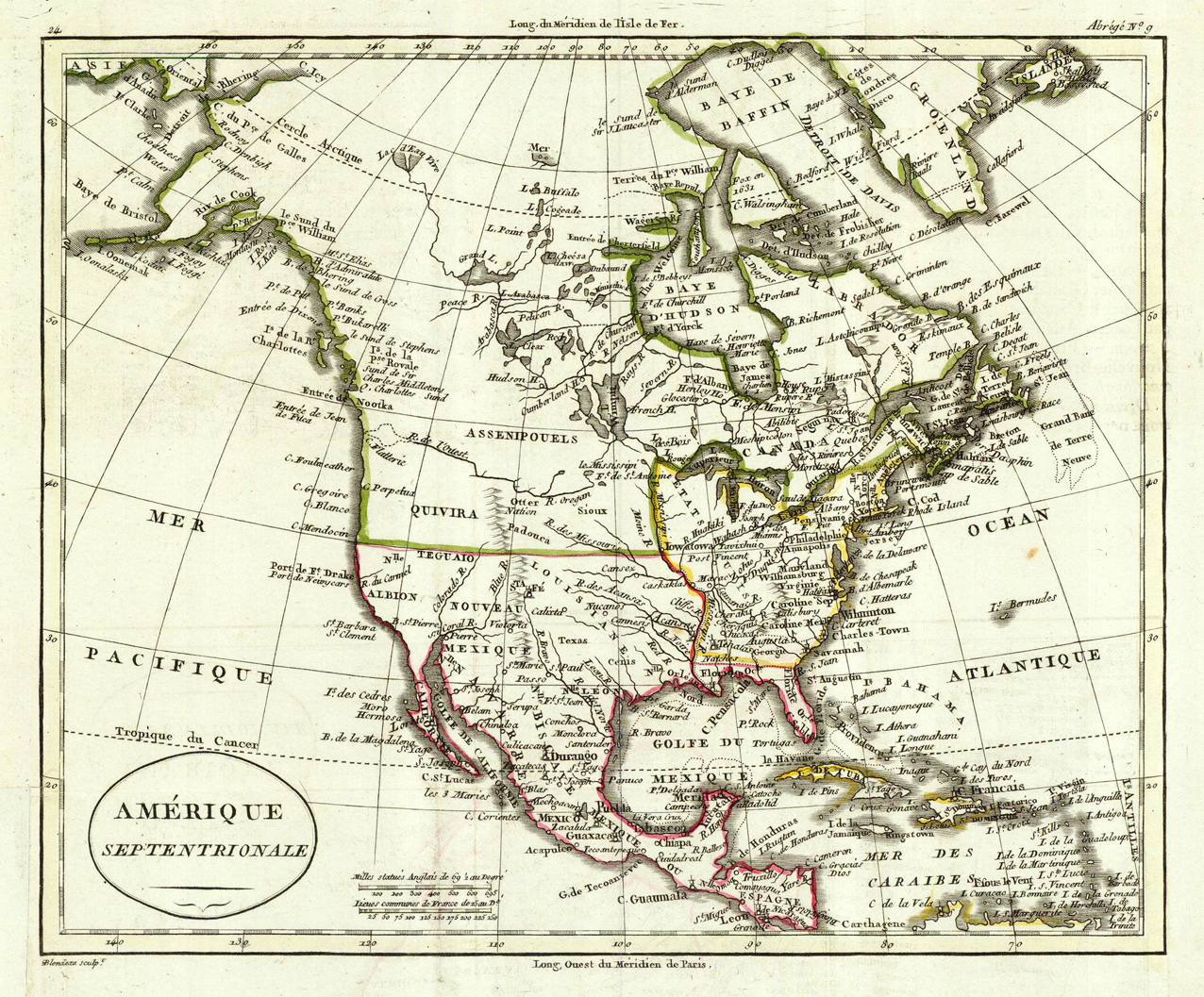
Copper-engraving, hand colored in outline when published. Shown is North America around 1817 with New Mexico and the United States, the Mississippi river is shown as the border. This nice small antique map of America is equipped with many town names, rivers and mountains.
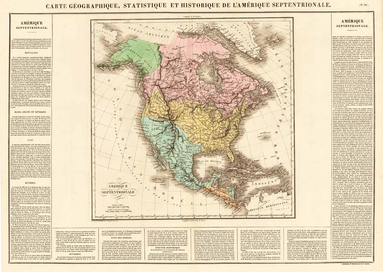
Copper engraving, hand colored in outline and wash when published. Fine engraved map of the state of North America showing various rivers, trails, streets, villages and small place names. America is divided up into the United States, New Mexico, Canada and Russian America (Alaska) in original wash hand color. The map is surrounded by descriptive text on North America providing information on the climate, the rivers, cities and its history. A nice and decorative map of North America with Mexico and the neighboring West Indies.
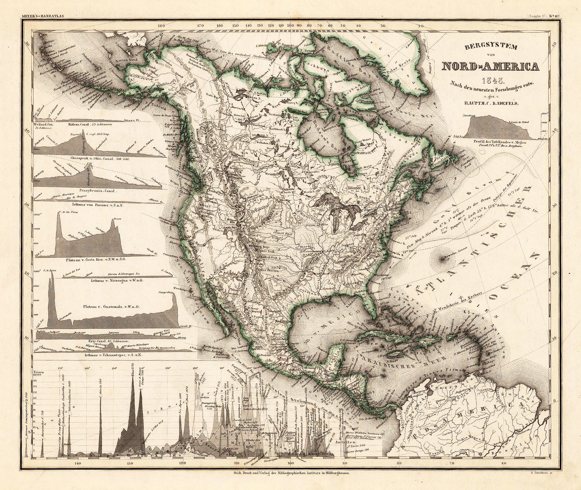
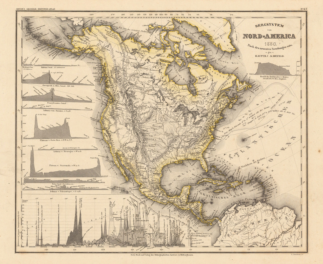
Original steel-engraving, hand colored in outline, when published. Detailed fine map of North-America s mountain system, engraved after Hauptmann Radefeld. This fine engraved map shows probably all known mountains at this time in North America. The main rivers are as well shown with the chains of the mountains. The left side of the map is ornated with various insets of profiles of mountain plateaus of North- and Central America. At the bottom of the map we find a diagram to compare the various heights of the mountains in North America.
Original steel engraving, handcolored in outline, when published. Detailed fine map of North-America s mountain system, engraved after Hauptmann Radefeld. This fine engraved map shows probably all known mountains at this time in North America. The main rivers are as well shown with the chains of the mountains. The left side of the map is ornated with various insets of profils of mountain plateaus of North- and Central-America. At the bottom of the map we find a diagram to compare the various heights of the mountains in North America.
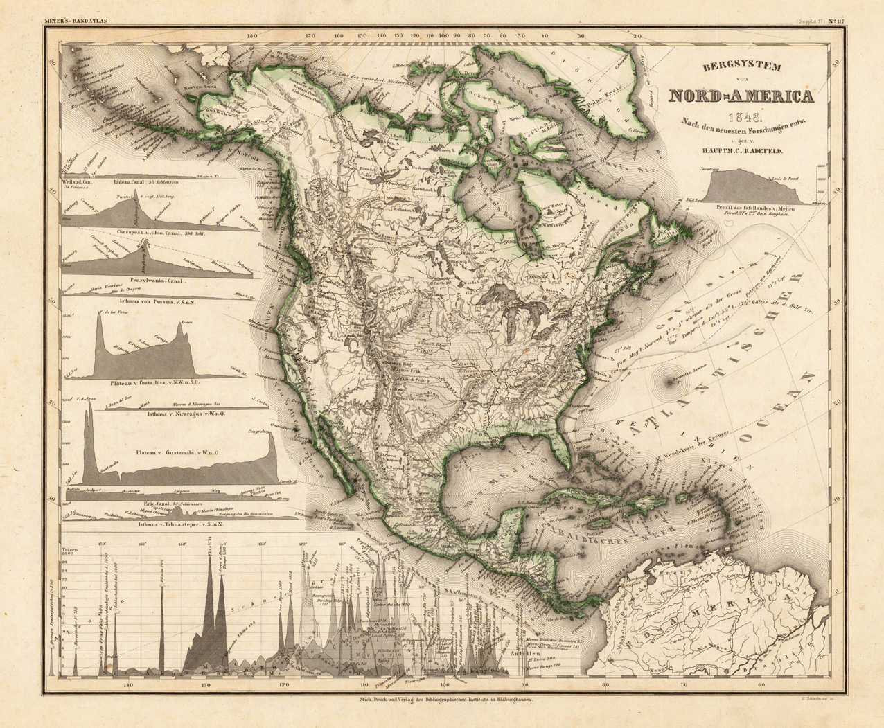
Original steel-engraving, hand colored in outline, when published. Detailed fine map of North-America s mountain system, engraved after Hauptmann Radefeld. This fine engraved map shows probably all known mountains at this time in North America. The main rivers are as well shown with the chains of the mountains. The left side of the map is ornated with various insets of profiles of mountain plateaus of North- and Central America. At the bottom of the map we find a diagram to compare the various heights of the mountains in North America.
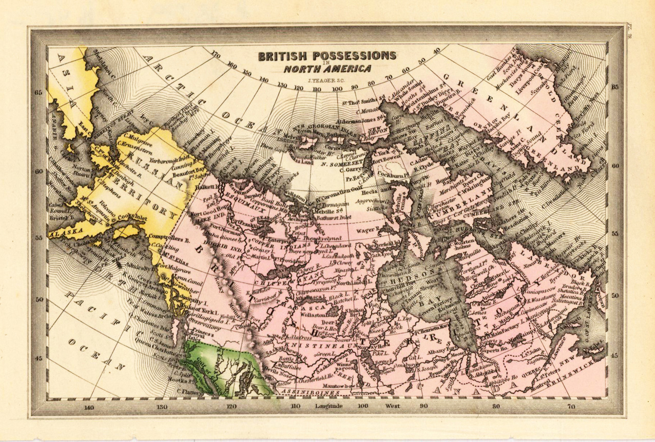
Steel engraving, hand colored in outline and wash when published. Engraved by J. Yeager. This fine small engraved old map shows the British Posessions in North America. This rare antique original map was published by Carey & Lea in Philadelphia in a small pocket atlas. Detailed engraved with place names, rivers and mountain chains.
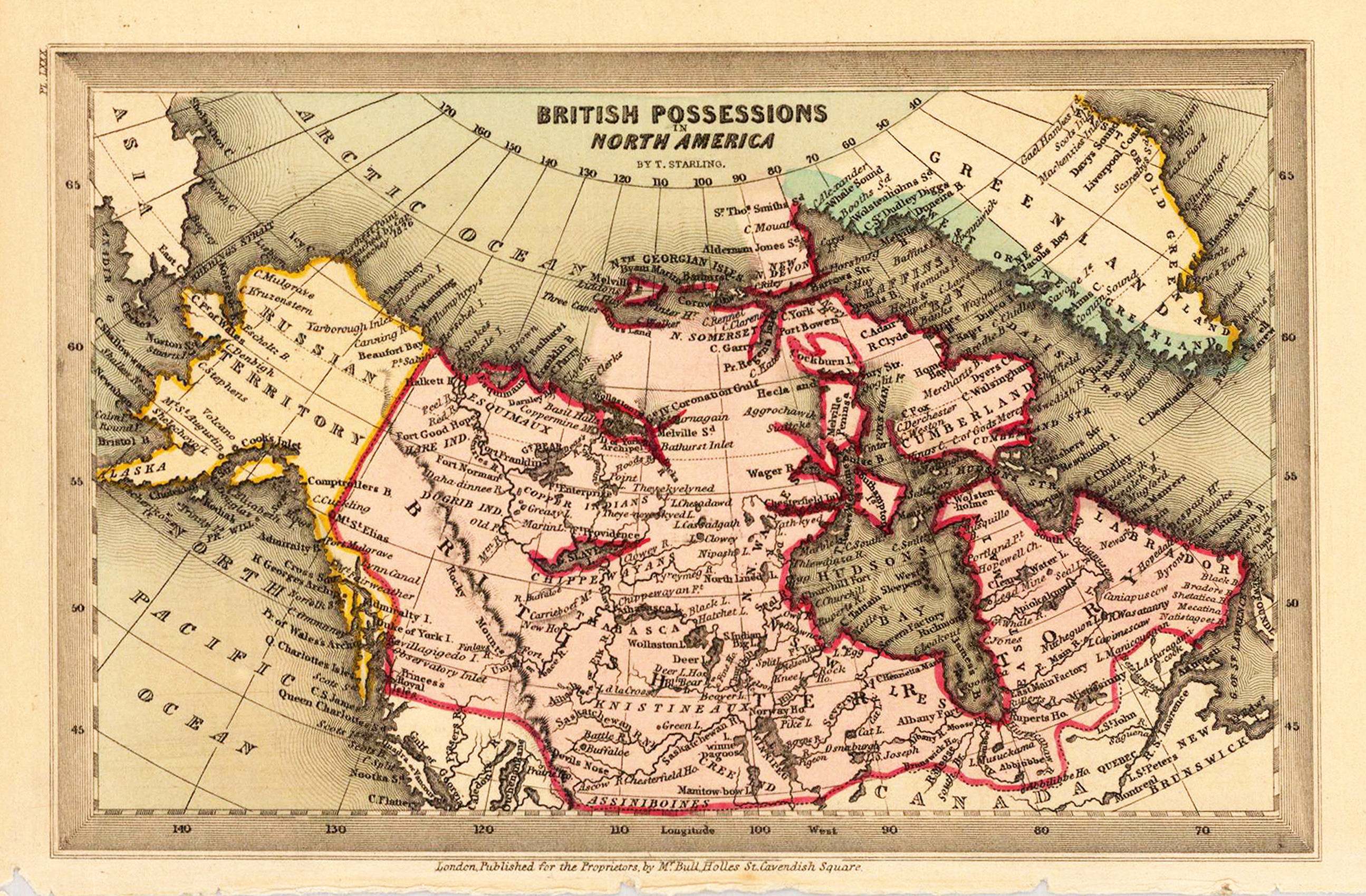
Steel engraving, hand colored in outline and wash when published. The map shows detailed North America with the British Possessions. Inside the map are many place names, rivers, etc. engraved. With the neighbouring Greenland and the Russian Territory (Alaska). Fine designed and engraved small map by the London engraver Thomas Starling published in his Geographical Annual 1833 showing a fair amount of place names, rivers and political borders of the different countries and territories.
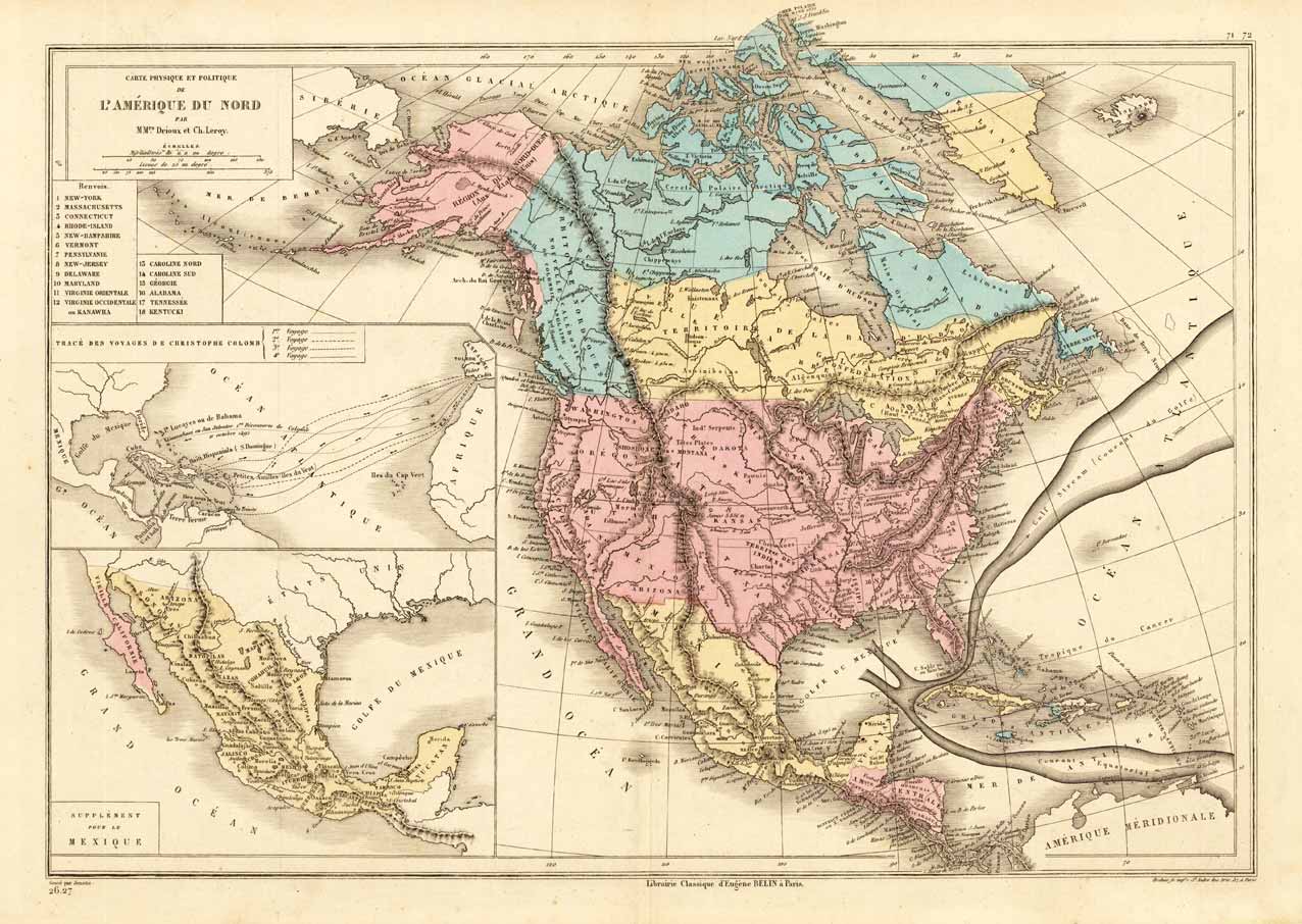
Lithograph, original color in outline and wash. Interesting map of North America around 1870, the political borders are hand colored in wash. It shows as well the new annexed state Alaska, provides information on Indian tribes, rivers, mountain heights. Equipped with two inset maps: One is showing the traces of the landing of Christopher Columbus in the West Indies, the other is a supplemental map on Mexico. Of further interest is the nicely engraved floating Gulf Stream in the Atlantic Ocean.
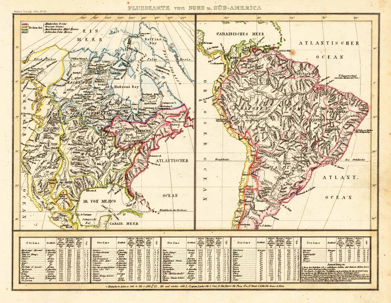
Steel engraving, hand colored in outline and wash when published. The two maps are showing detailed river maps of North and South America. At the bottom an extensive table of explanations listing the rivers of the Americas with their details. An interesting hydrographic map. An interesting map of the beginning collector of antique maps of the Americas.
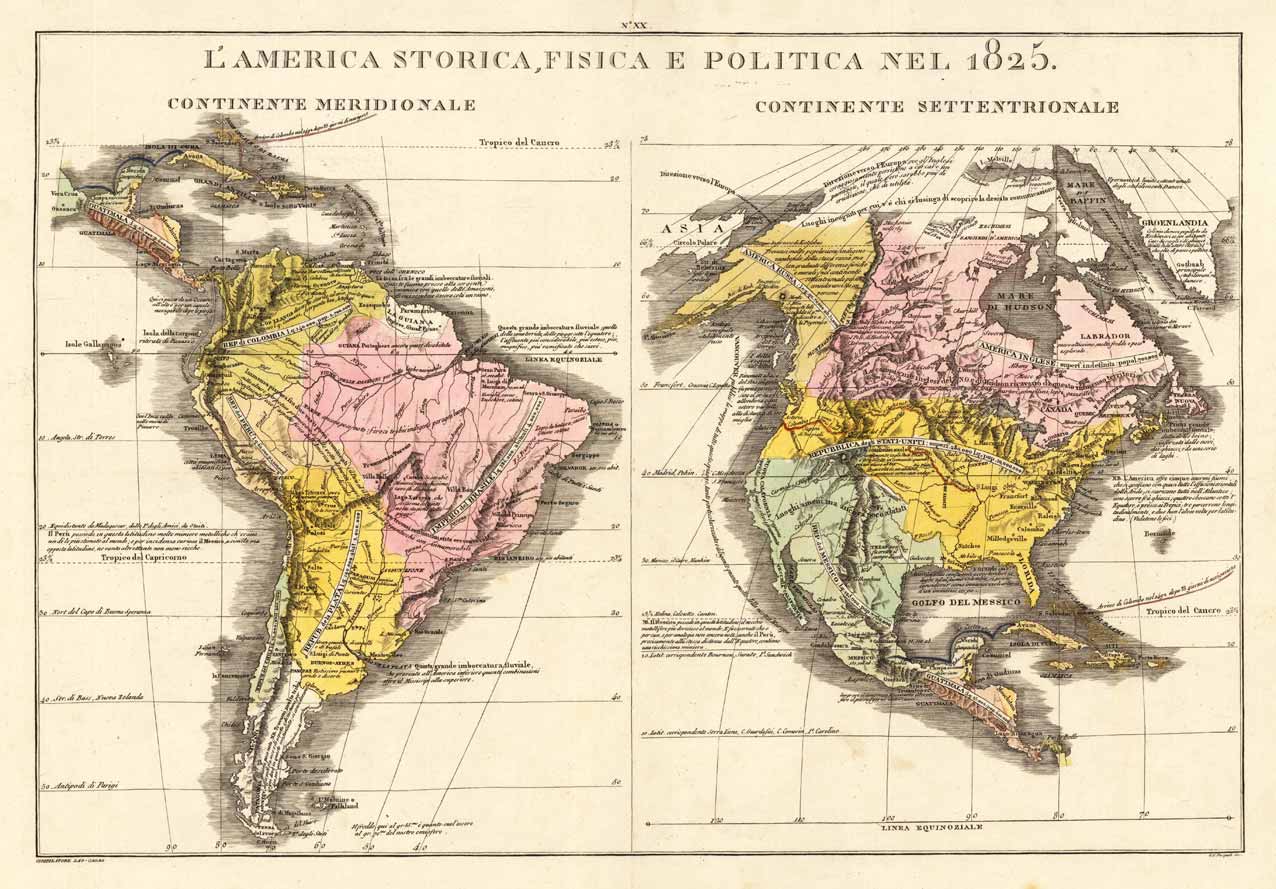
Copper engraving, hand colored in wash when published. These two maps are showing North and South America. They provide information on the history, the population and the political division of the Americas. With some engraved statistic information on the population in relation to the country. An interesting map for the collector of the history of the Americas.