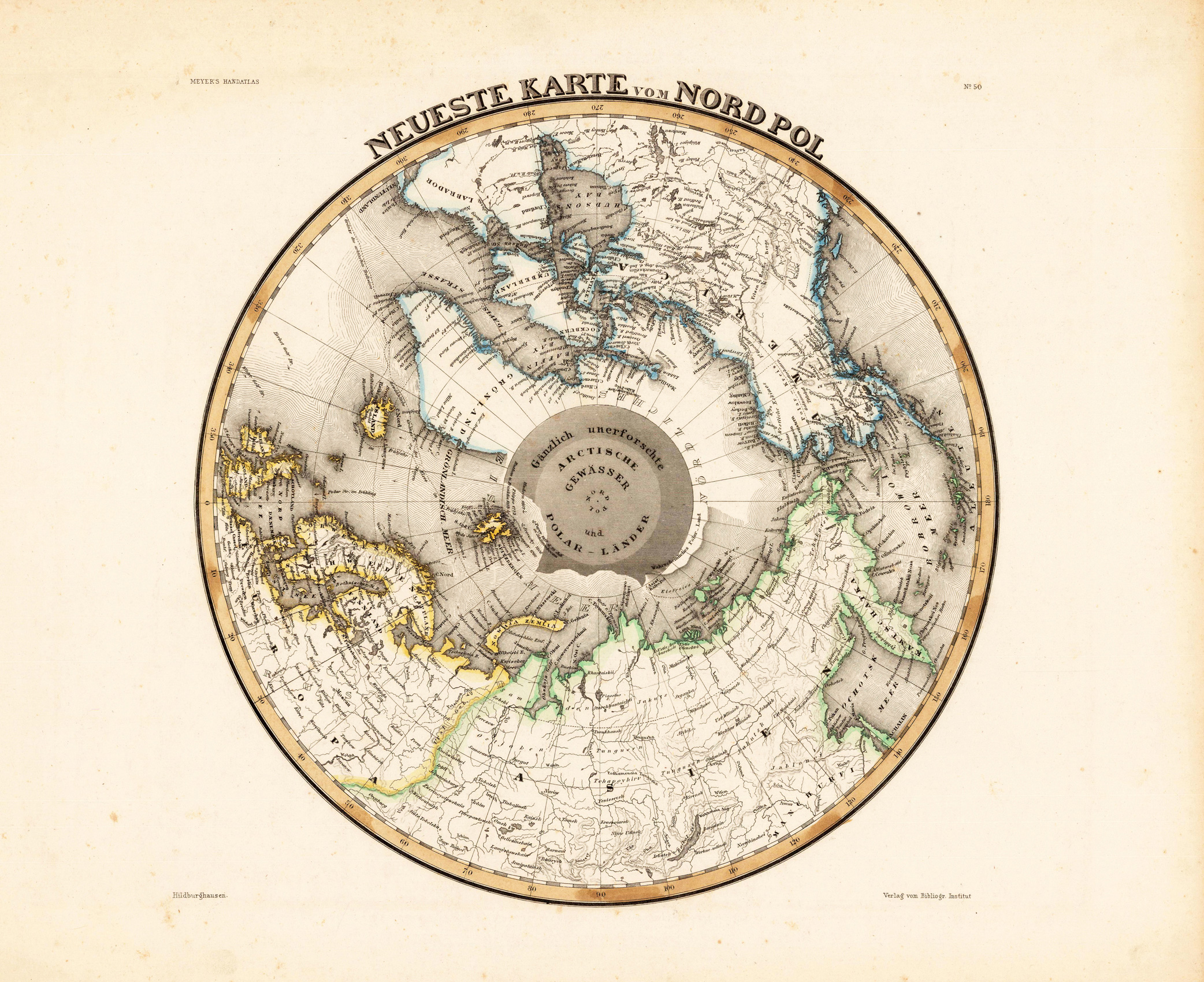
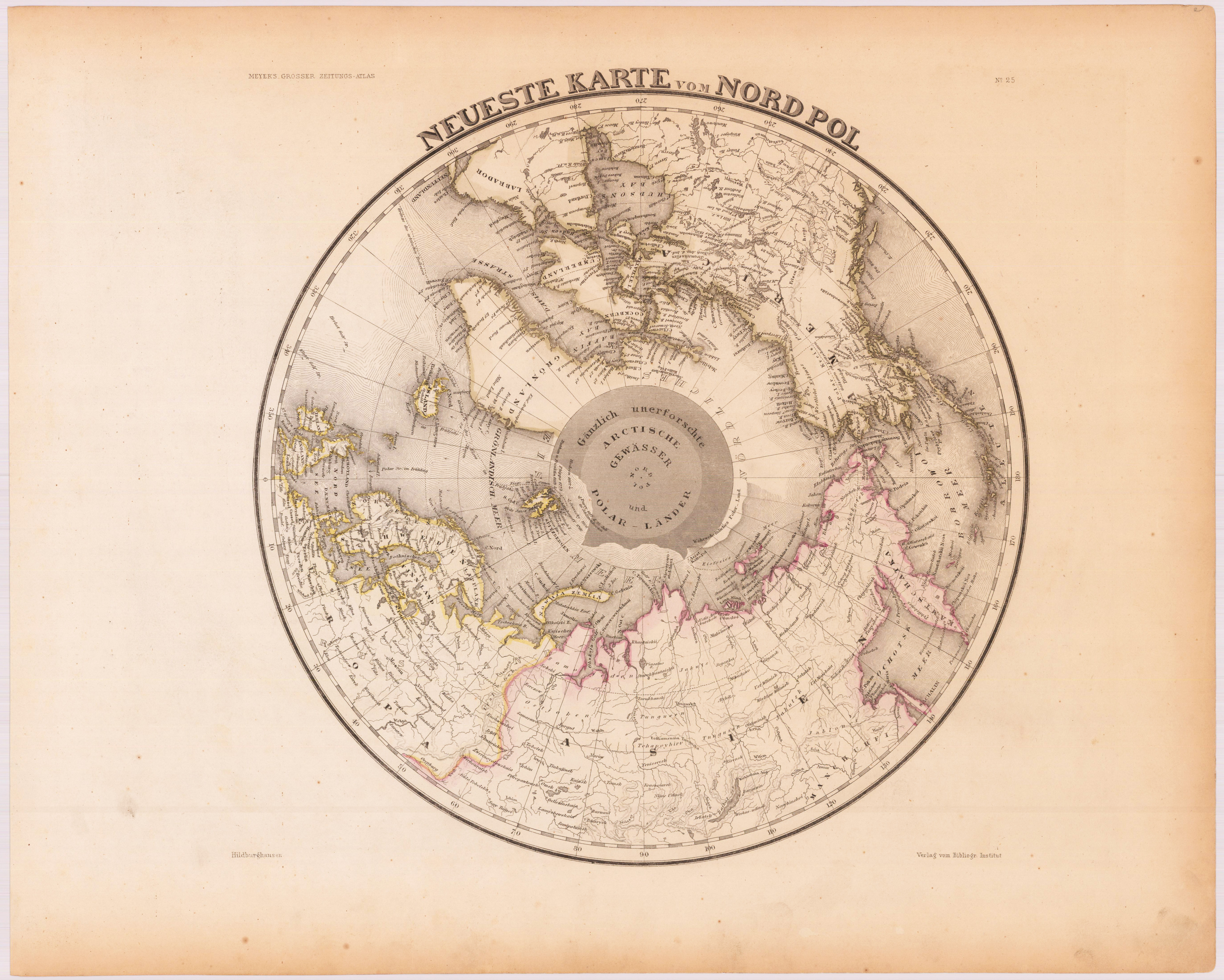
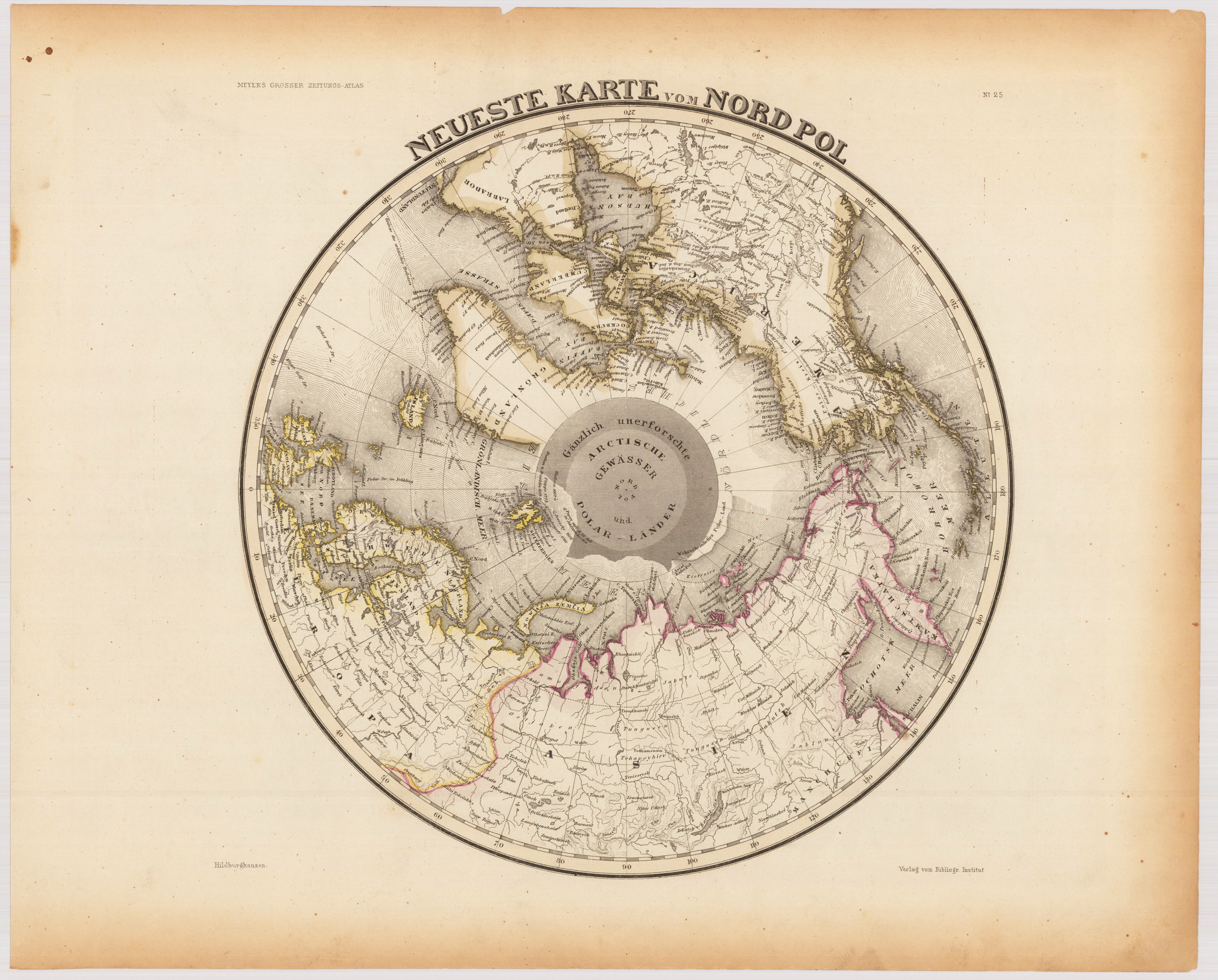
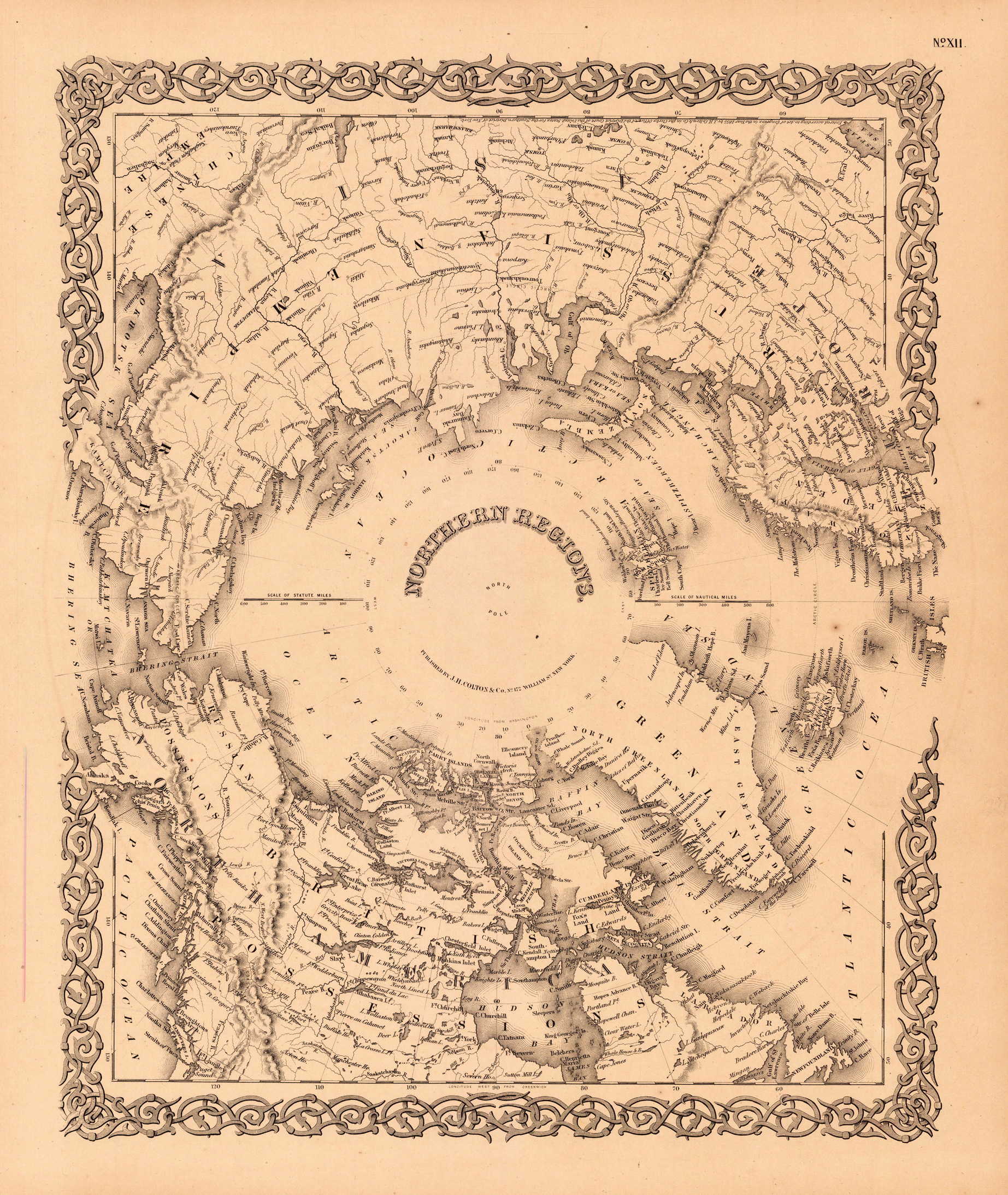
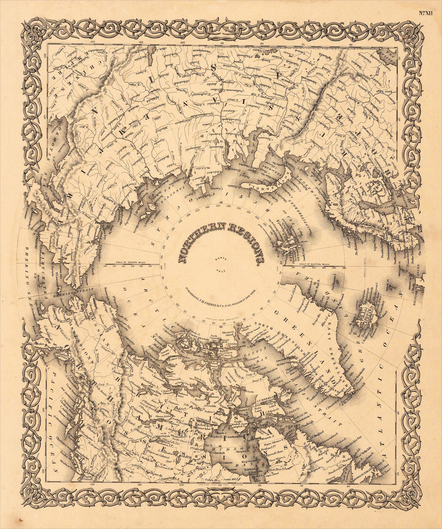
Steel engraving hand colored in outline when published, Interesting map showing the North Pole with parts of Canada, North America, Europe and Asia. The map shows engraved place names, rivers as well engraved border lines of the 'Frozen Sea' and the 'Floating Ice' are engraved.
Steel engraving hand colored in outline when published. Interesting map showing the North Pole with parts of Canada, North America, Europe and Asia. The map shows engraved place names, rivers as well engraved border lines of the 'Frozen Sea' and the 'Floating Ice' are engraved. The map was published circa 1845-50 in Hildburghausen in Joseph Meyers großen Zeitungsatlas.
Steel engraving hand colored in outline when published. Interesting map showing the North Pole with parts of Canada, North America, Europe and Asia. The map shows engraved place names, rivers as well engraved border lines of the 'Frozen Sea' and the 'Floating Ice' are engraved. The map was published circa 1845-50 in Hildburghausen in Joseph Meyers großen Zeitungsatlas.
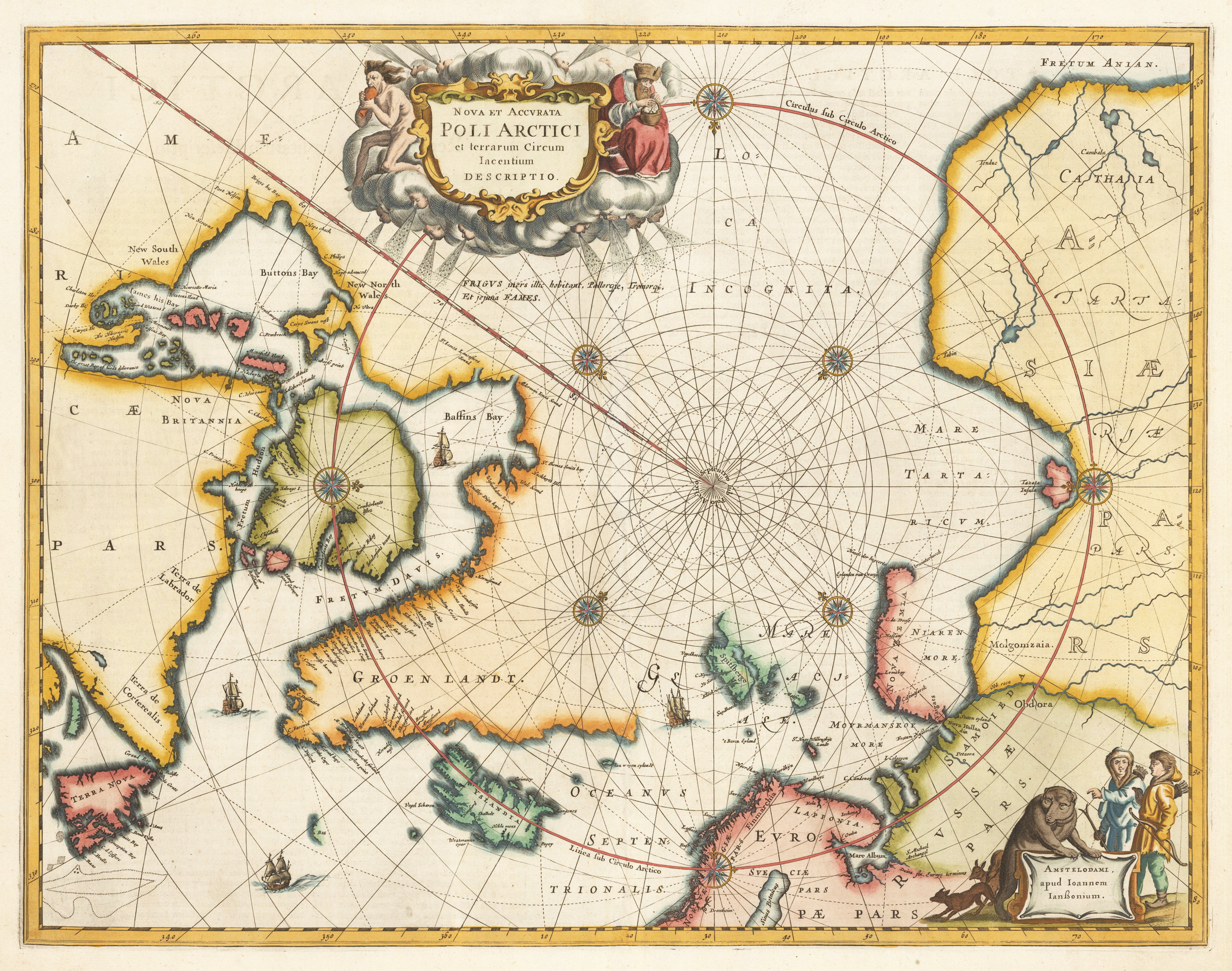
Copper engraving, finely later hand colored in wash and outline. A very good example of Jansson's map of the North Polar regions finely hand colored throughout. The decorative map ornated in the upper part with a large allegoric title cartouche and in the lower right corner with another decorative cartouche with inhabitants and animals. Published in Jansson's Atlas in 1659 (Latin text edition). This is according to Burden the 4th state with ,FRETUM ANIAN' added top right. ,GROEN LANDT' is named and ,AMERICA PARS' is placed in North America. This antique map depicts the North Polar regions, with Arctic North America, Iceland, Scandinavia and parts of northern Asia and Russia. The cartographic sources of this map are based on discoveries of Barentsz, Frobisher, Baffin and others.
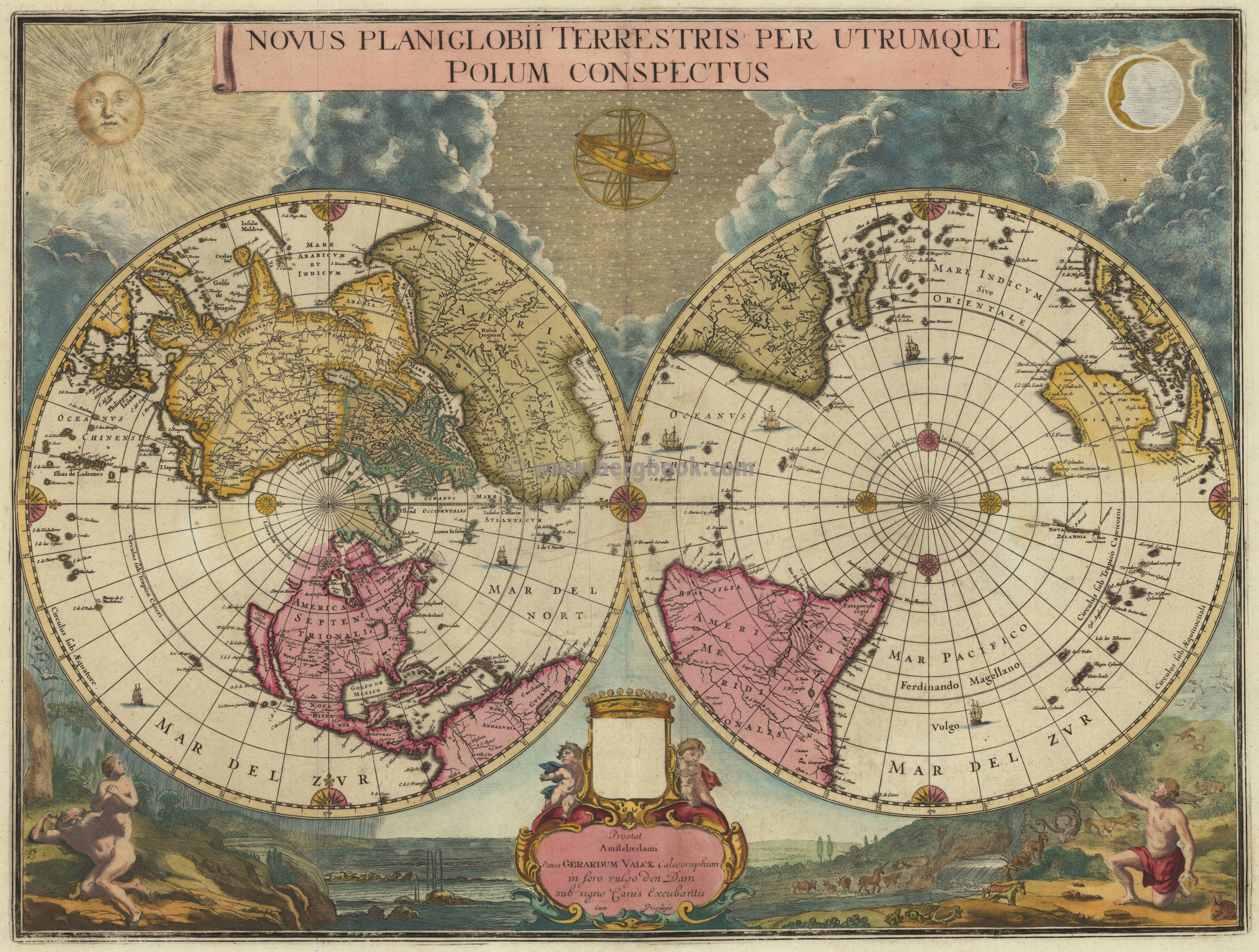
Copper engraving, old colored in outline and wash. Gerard Valk acquired this plate from the former Dutch publisher house Blaeu. The plate was probably prepared in the last years of Joan Blaeu's life, in 1672-73. 'The projection used - two north and south polar views, each extending to the equator - is not a common one and it has been suggested that Blaeu intended this special map for the Spanish edition of the Atlas Major which was never completed.' Shirley. - Further Valk made no changes to the map itself and also the amorial shield above the imprint remains blank.