
Your results
4
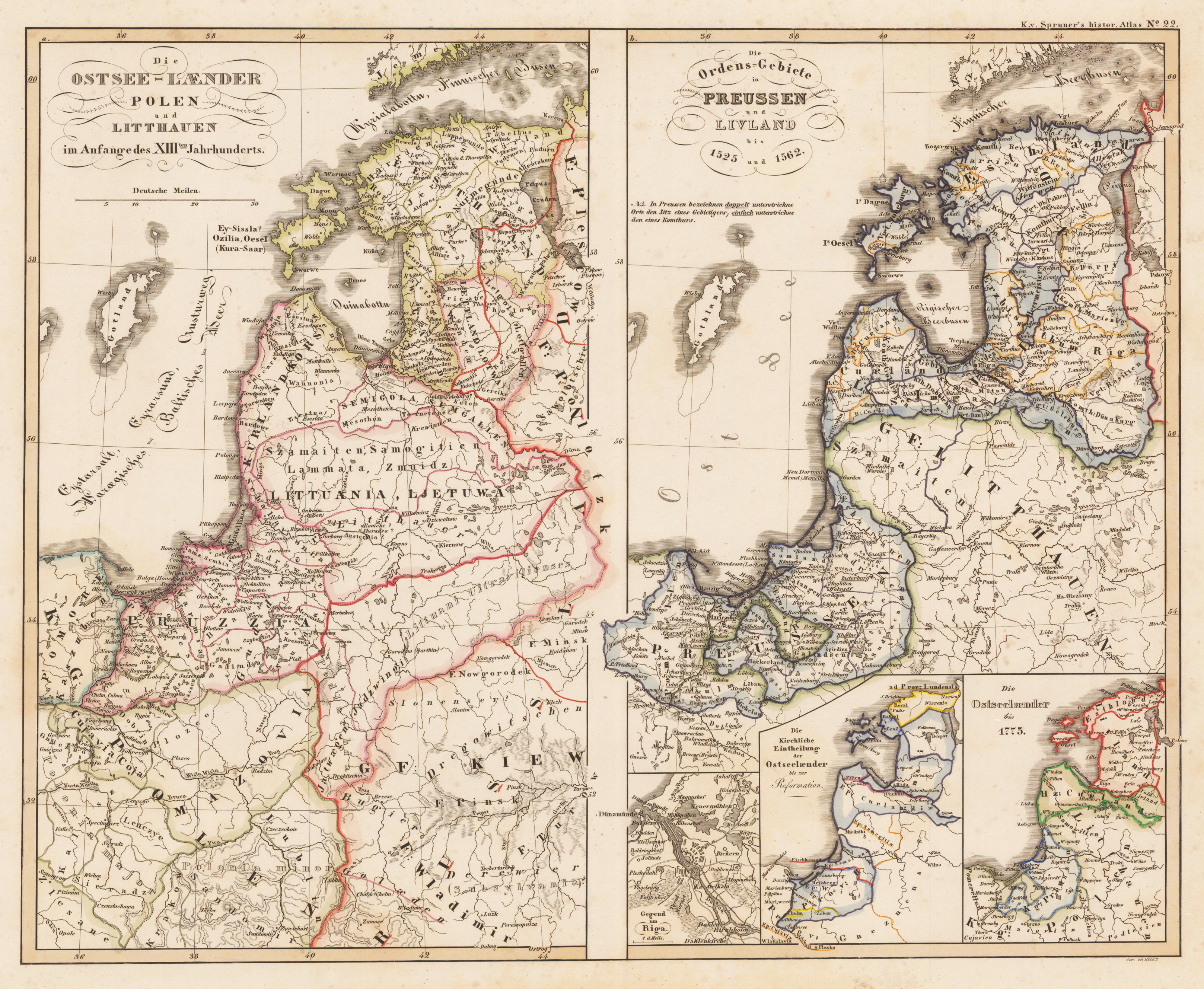
Die Ostsee-Laender, Polen und Litthauen im Anfange des XIIIten. Jahrhunderts. Die Ordens-Gebiete in Preussen und Livland bis 1525 und 1562.
€120.00*
Original steel engraving, hand colored when published.
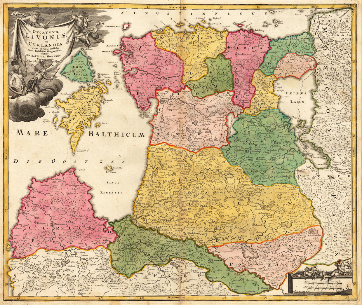
Ducatuum Livoniae et Curlandiae cum vicinis Insulis Nova Exhibitio Geographica editore Ioh. Baptista Homanno Norimbergae. Cum Privilegio S.C.M.
€450.00*
Copper engraving, hand colored in outline and wash when published. Decorative and detailed map of the region Livonia, Estonia, Kurland and Estland. A highly decorative map with a large allegoric title cartouche in the upper left corner and also a mileage scale in the lower right corner. With the ,privilegium' published between 1730-40.
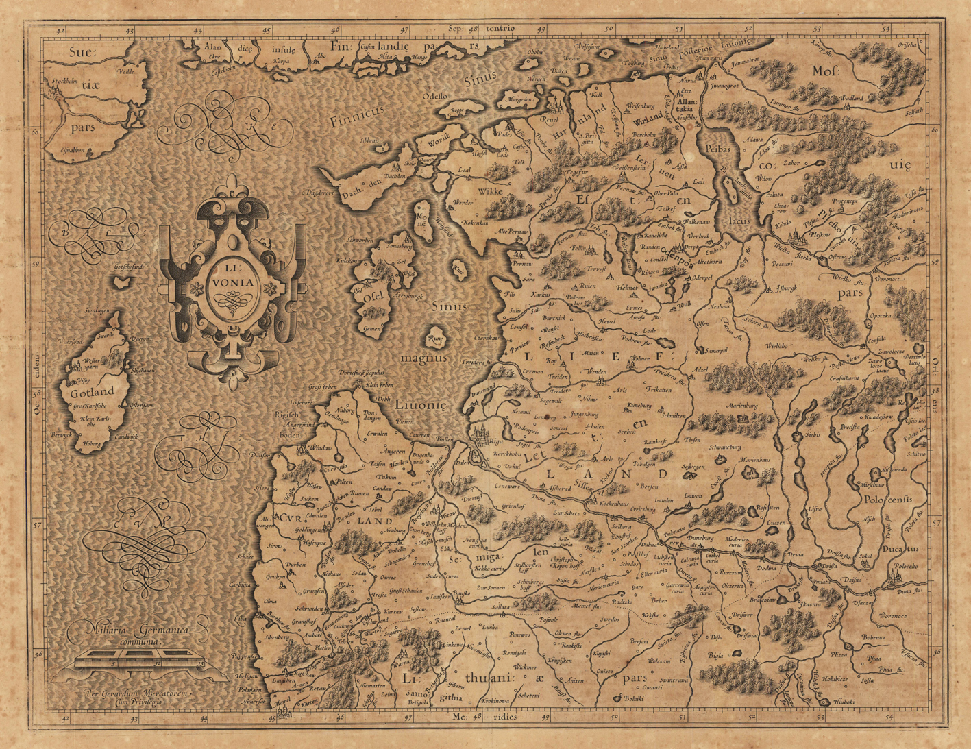
Livonia.
€480.00*
Copper engraving, uncolored as published. French text edition. An early historic rare map of Livonia published by Gerard Mercator 1619 in his atlas ,Atlas sive Cosmographicae Meditationes de Fabrica Mundi et Fabricati Figura. Sumptibus & typis aeneis Iudoci Hondij, Amsterodami An. D. 1619.'. This rare map was published for the first time in 1595 in Gerard Mercator's atlas and appearred in several editions. Our example is from 1619 and has verso French descriptive text. This antique map of Livland (Livonia) centers Riga and extends in the south towards Memel and in the east with the neighboring Lithuania. It also shows the Baltic Sea with the neighboring costs of Finland, Sweden and the island of Gotland. Equipped with a decorative renaissance title cartouche and mileage scale.
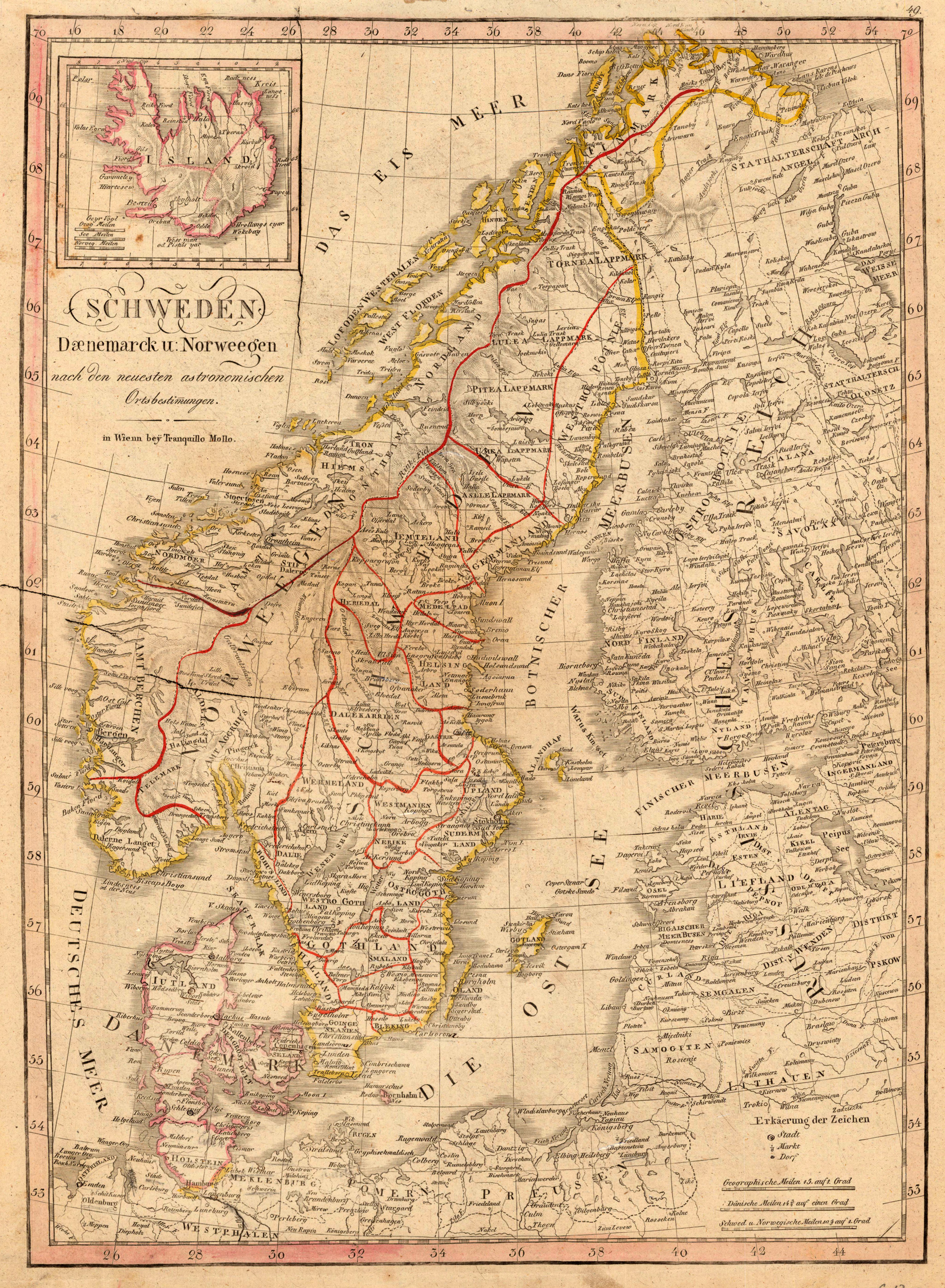
Schweden Daenemarck u. Norweegen nach den neuesten astronomischen Ortsbestimmungen.
€175.00*
Copper engraving, in contemporary original color in outline. Detailled map showing Skandinavia with Denmark, Schweden, Norway and Finnland. With many engraved names of cities, villages and smaller places. In the upper left corner with a inset map of Iceland. One small milage scale.