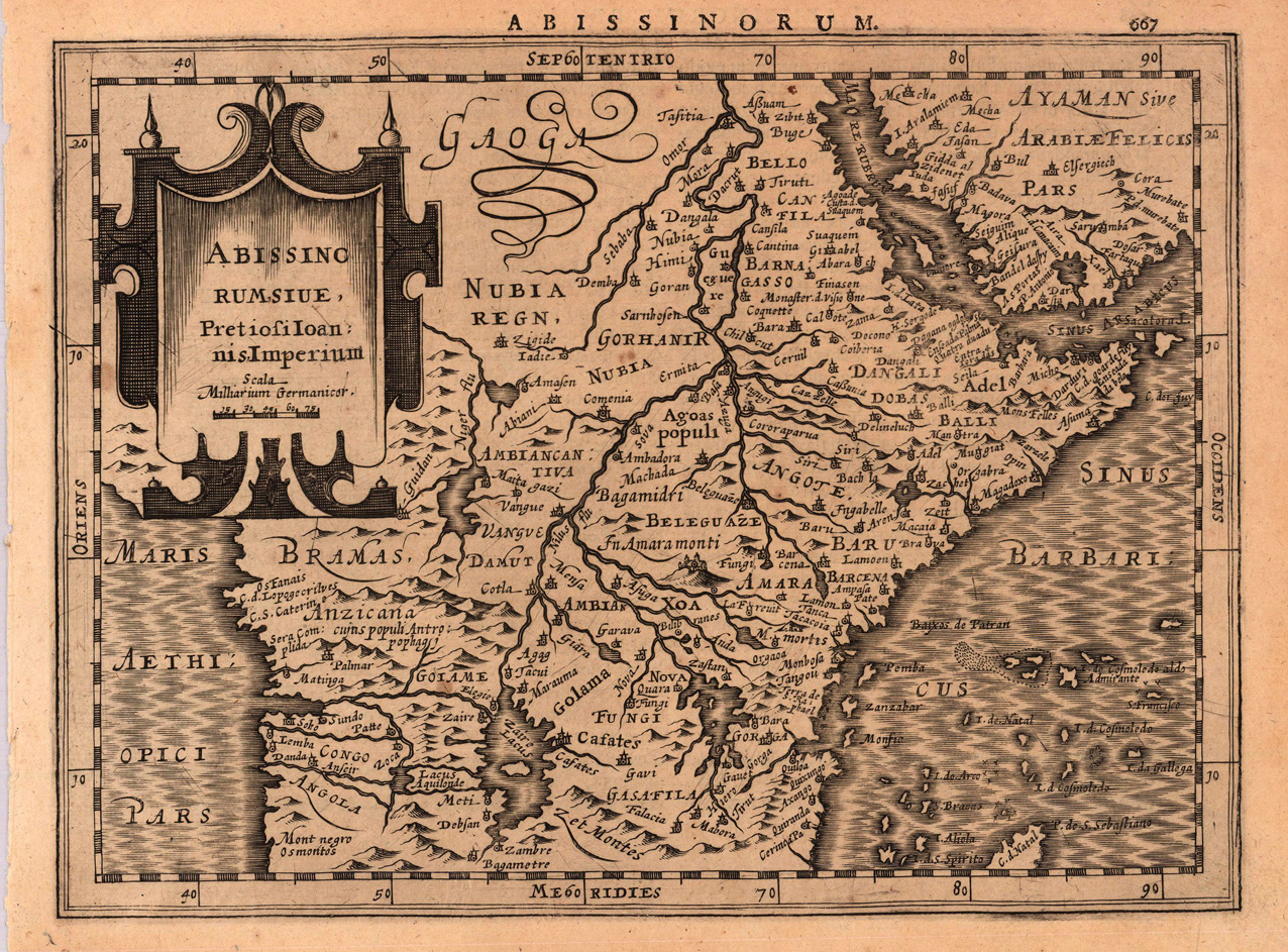
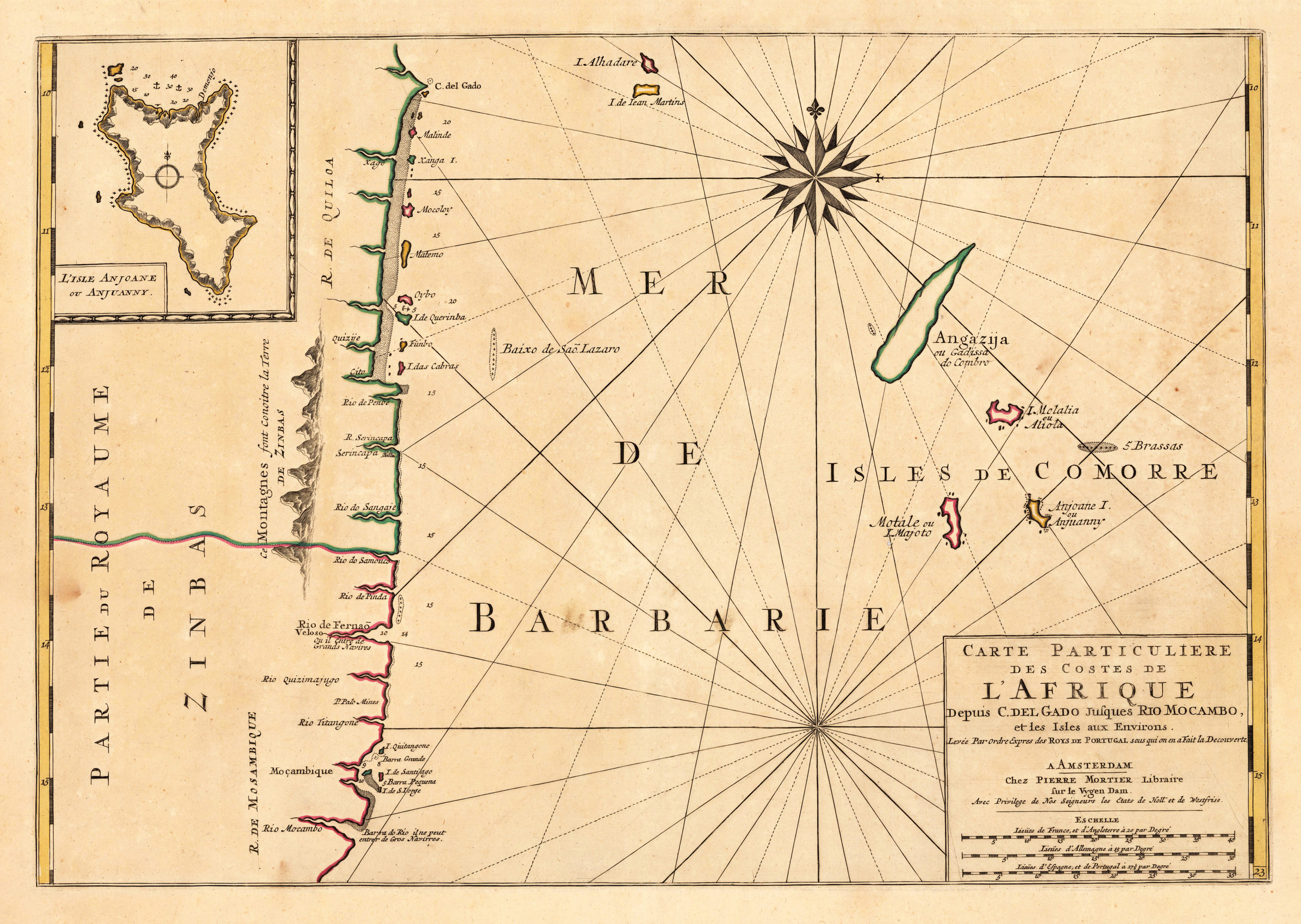
Original antique copper engraving, uncolored as published. A fine copy in a dark impression, full margins as published. This engraved map shows the region of central African, including towns, villages, landmarks, mountains and rivers. A fine copy in a dark impression, full margins as published. This is the first so-called Cloppenburgh editions which was a competive edition with new engraved maps in a larger format. Most of the maps were engraved by Pieter van den Keere. The Cloppenburgh edition was continued for a couple of years but seems to have been suppressed after 1636 ... . This is another Cloppenburgh edition, now with Latin text. The maps from the Appendix have been incorporated. The title-page is followed by a dedication to Prince Frederik Hendrik, dated 1632 and signed by Johannes Cloppenburgh. (Koeman Atlantes Neerlandici). Gerardus Mercator (5 March 1512 – 2 December 1594) was a 16th-century geographer, cosmographer and cartographer from the County of Flanders. He is most renowned for creating the 1569 world map based on a new projection which represented sailing courses of constant bearing (rhumb lines) as straight lines—an innovation that is still employed in nautical charts. Mercator was one of the pioneers of cartography and is widely considered the most notable figure of the school in its golden age (approximately 1570s–1670s). In his own day, he was a notable as maker of globes and scientific instruments. In addition, he had interests in theology, philosophy, history, mathematics and geomagnetism. He was also an accomplished engraver and calligrapher. Unlike other great scholars of the age he travelled little and his knowledge of geography came from his library of over one thousand books and maps, from his visitors and from his vast correspondence (in six languages) with other scholars, statesmen, travellers, merchants and seamen. Mercator's early maps were in large formats suitable for wall mounting but in the second half of his life, he produced over 100 new regional maps in a smaller format suitable for binding into his Atlas of 1595. This was the first appearance of the word Atlas in reference to a book of maps. However, Mercator used it as a neologism for a treatise (Cosmologia) on the creation, history and description of the universe, not simply a collection of maps. He chose the word as a commemoration of the Titan Atlas, "King of Mauretania", whom he considered to be the first great geographer. A large part of Mercator's income came from sales of his terrestrial and celestial globes. For sixty years they were considered the finest in the world, and were sold in such great numbers that there are many surviving examples. This was a substantial enterprise involving the manufacture of the spheres, printing the gores, building substantial stands, packing and distributing all over Europe. He was also renowned for his scientific instruments, particularly his astrolabes and astronomical rings used to study the geometry of astronomy and astrology. Mercator wrote on geography, philosophy, chronology and theology. All of the wall maps were engraved with copious text on the region concerned. As an example the famous world map of 1569 is inscribed with over five thousand words in fifteen legends. The 1595 Atlas has about 120 pages of maps and illustrated title pages but a greater number of pages are devoted to his account of the creation of the universe and descriptions of all the countries portrayed. His table of chronology ran to some 400 pages fixing the dates (from the time of creation) of earthly dynasties, major political and military events, volcanic eruptions, earthquakes and eclipses. He also wrote on the gospels and the old testament. Mercator was a devout Christian born into a Catholic family at a time when Martin Luther's Protestantism was gaining ground. He never declared himself as a Lutheran but he was clearly sympathetic and he was accused of heresy by Catholic authorities; after six months in prison he was released unscathed. This period of persecution is probably the major factor in his move from Catholic Leuven (Louvain) to a more tolerant Duisburg, in the Holy Roman Empire, where he lived for the last thirty years of his life. Walter Ghim, Mercator's friend and first biographer, describes him as sober in his behaviour, yet cheerful and witty in company, and never more happy than in debate with other scholars. Above all he was pious and studious until his dying days.
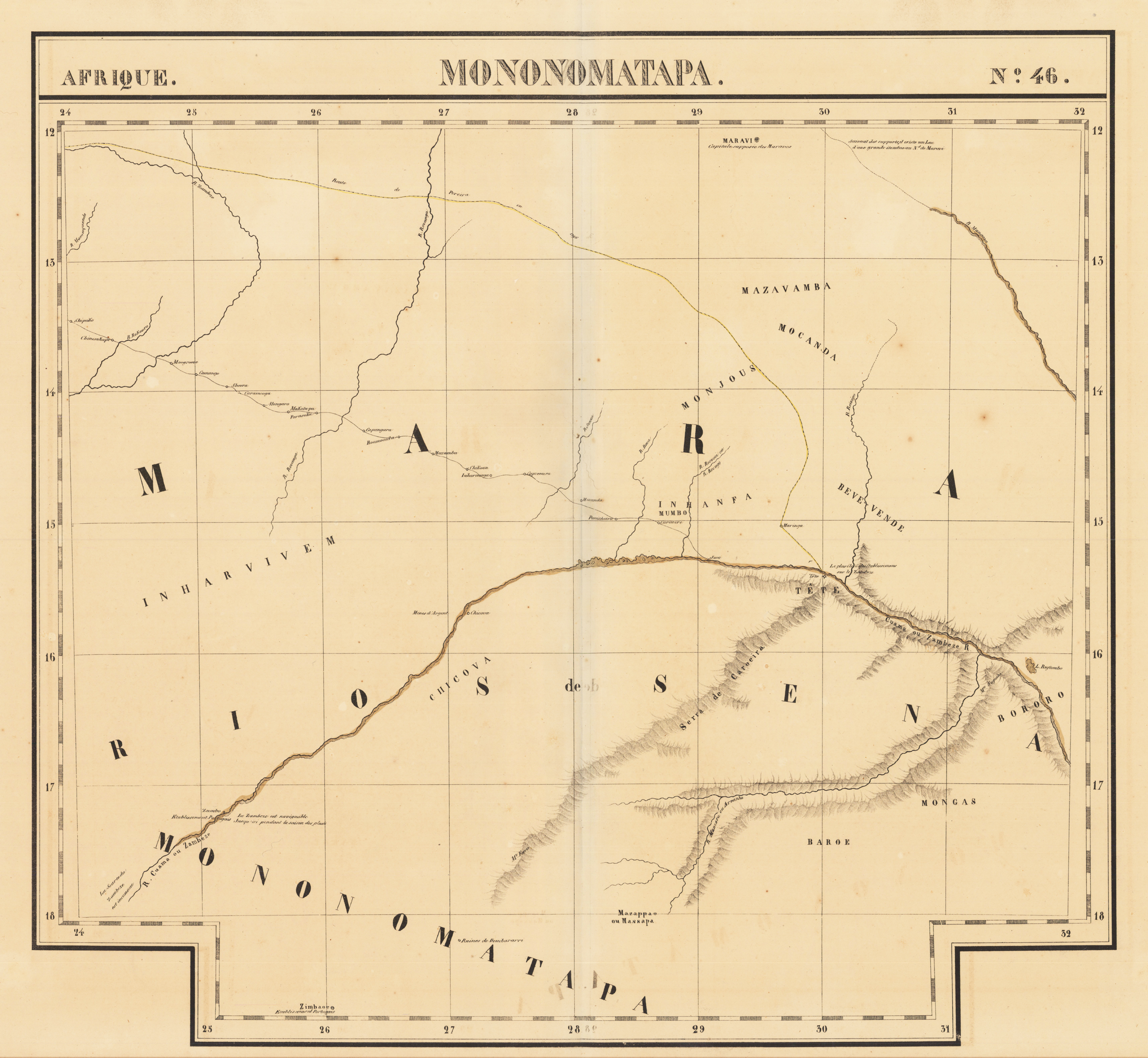
Original lithograph, printed and published ca. 1825 in Vandermaelen's atlas of Africa. This large antique map shows the northern part of Simbabwe, in the centre of the map we find the Sambesi river, and north of the Sambesi river parts of Sambia. This early lithographed map depicts rivers, mountains and trails or roads. A few place names on the map and also mountain chains and rivers are named. Further map has latitudes and longitudes with which the map can exactly compared with modern maps of this still quite remote region. This regions covers these days the Chizarira-Nationalparc and Matusadona-Nationalparc next to lake Kariba. Philippe Vandermaelen (1795-1869) began drafting the first maps of the Atlas universel in 1824. The atlas was published between 1825 and 1827. The atlas covered all five continents and became a great success. The success of this project enabled him to set up his own Geographic company in Bruxelles in 1830. He produced maps, atlases and globes, further he housed a natural science museum, botanical gardens, a library and a large collection of maps.
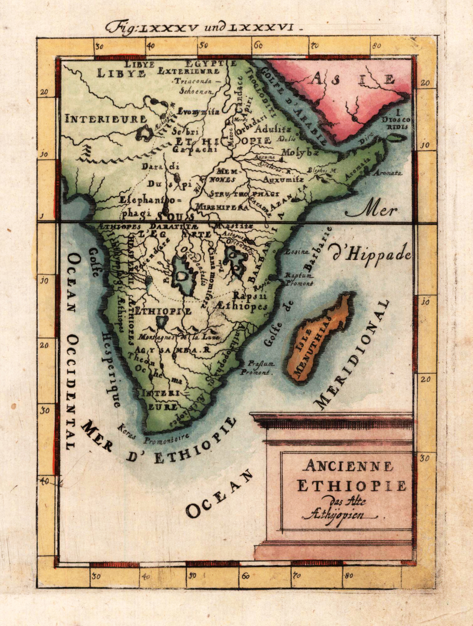
Copper-engraving, hand colored in wash and outline, published in Allain M. Mallet's description of the world. This old map shows 'Ancient Ethiopia' with the neighbouring island Madagasgar around 1700. Inside the map are many place names, rivers and mountains engraved.
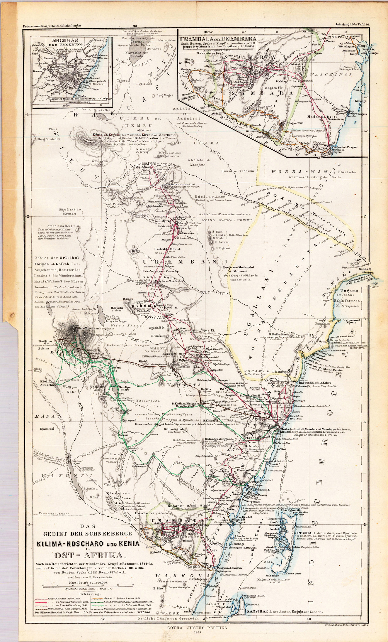
Lithograph, original hand colored in outline when published. A detailed map of the area of the ,snow mountain Kilimanscharo and Kenia' in Eastern Africa. Drawn by B. Hassenstein after the expeditions (1844-53) of the missionairies Krapf & Rebmann and other explorers in Kenia ( K. van der Decken's in 1861 and 1862, von Burton, Speke and Owen in 1824. With engraved place names, rivers, mountain chains, exploration routes and other small details. A table of explanations in the lower left corner.
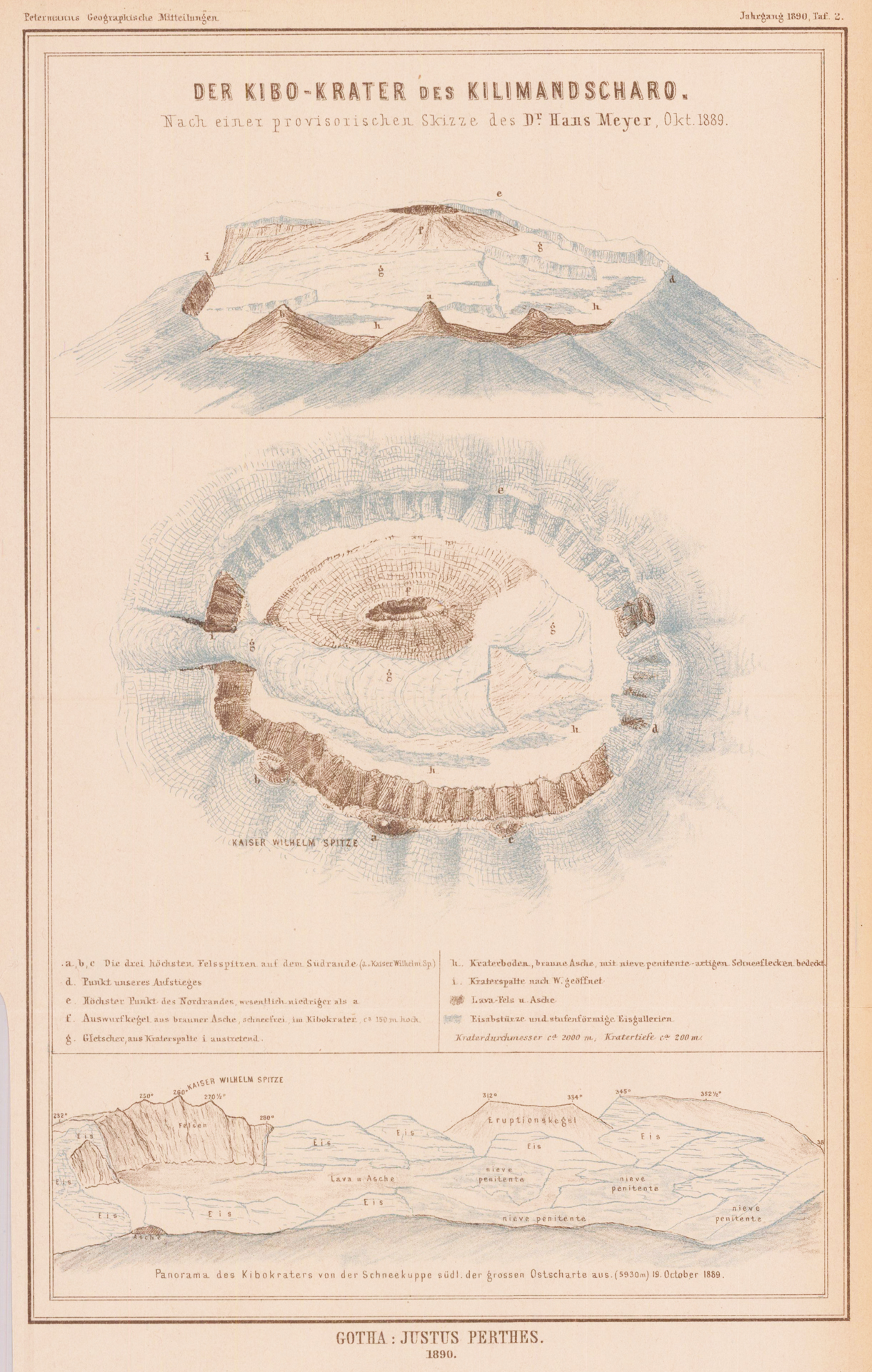
Lithograph, original color in outline. Detailed antique map of the Kibo-Krater of the Kilimanjaro, the highest Mountain range of Africa. This Massif was created by the Swabian missionaries Johann Ludwig Krapf (1810-1881) and Johann Rebmann (1820-1876) discovered. Rumors of white, probably snow-capped mountains in the interior of East Africa near the equator, they led to the foot of the Kilimanjaro. Knowledge of the snow-covered "moon mountains" existed in ancient times. Ptolemy shows south of the Nile source lakes (Paludes nili) Mountain ridges with «mons lune» and «nives» are labeled. The first modern customer over the snow-covered Kilimanjaro near the Equator came through at the beginning of the 16th century the Spanish exploration circle.
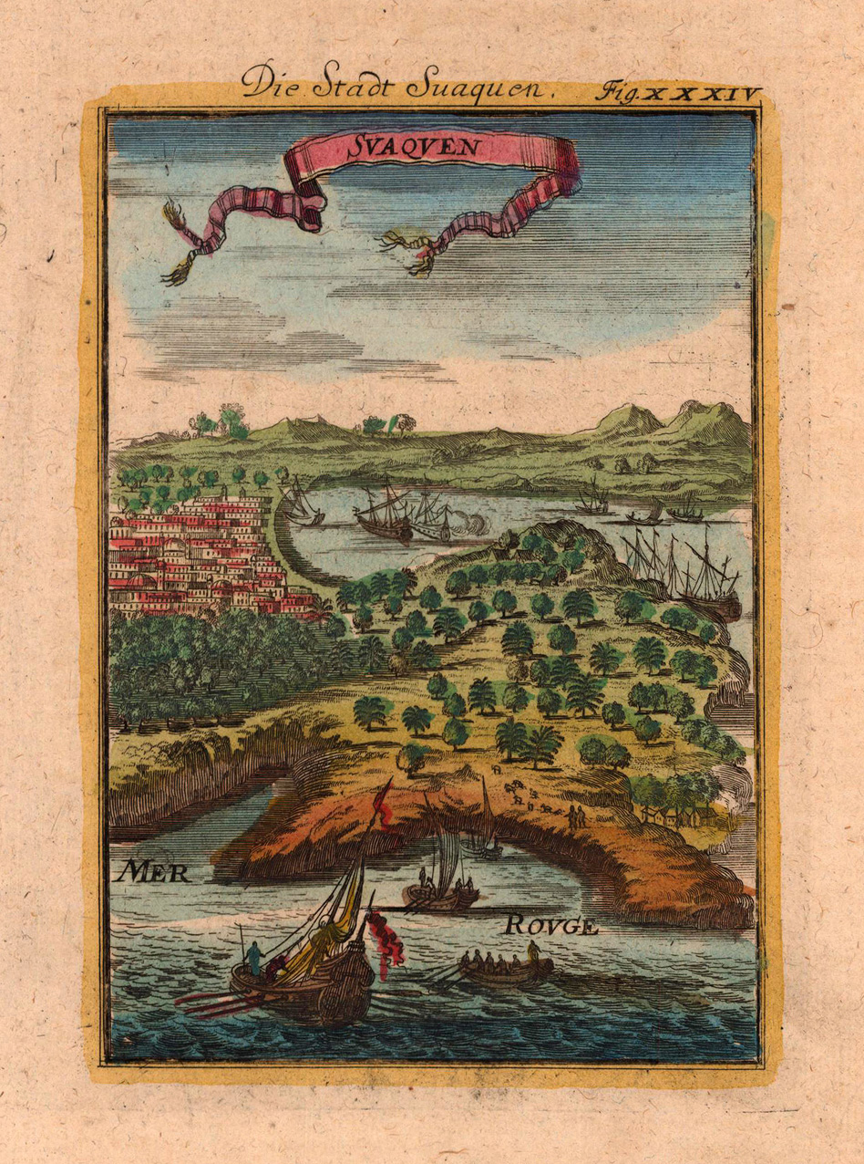
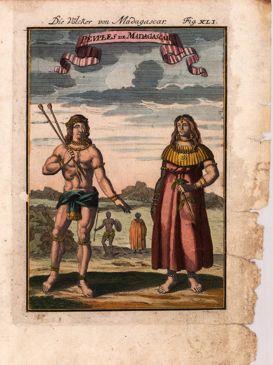
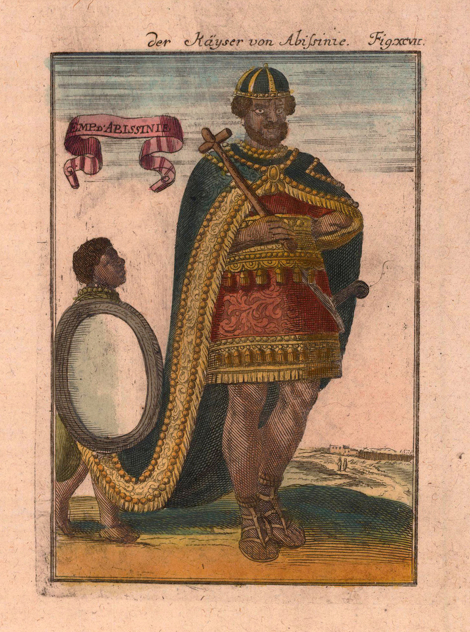
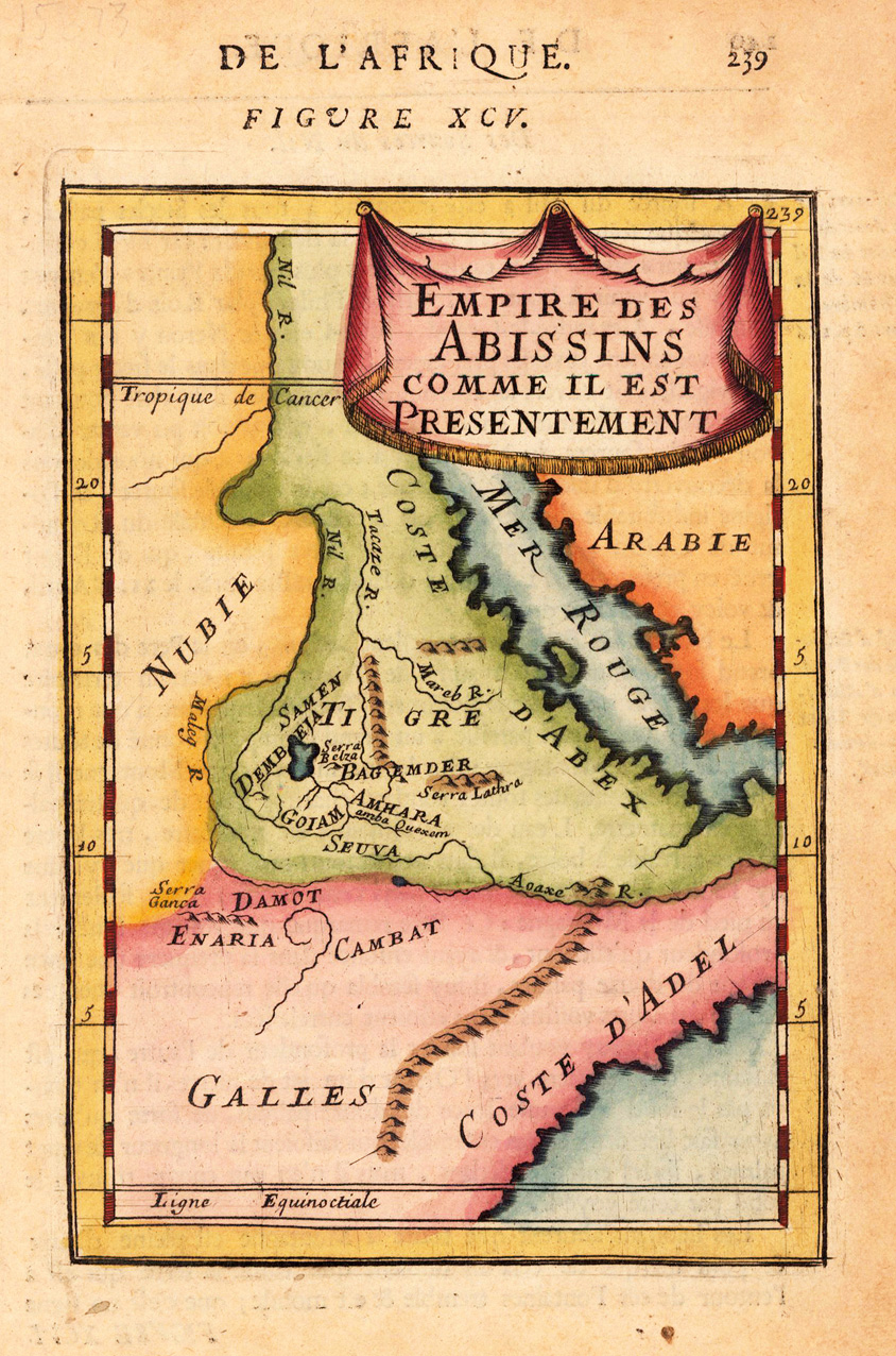
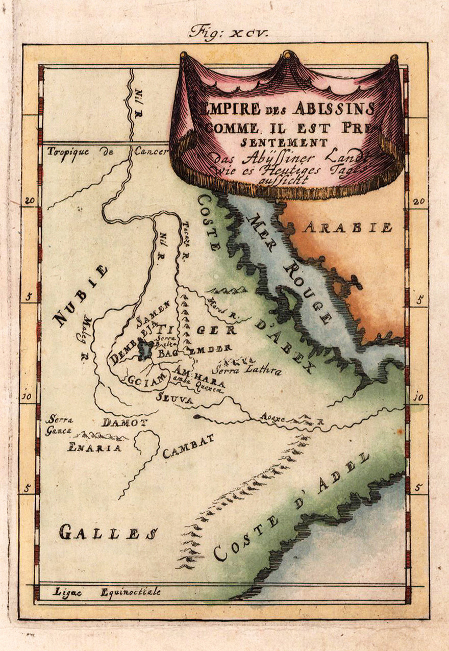
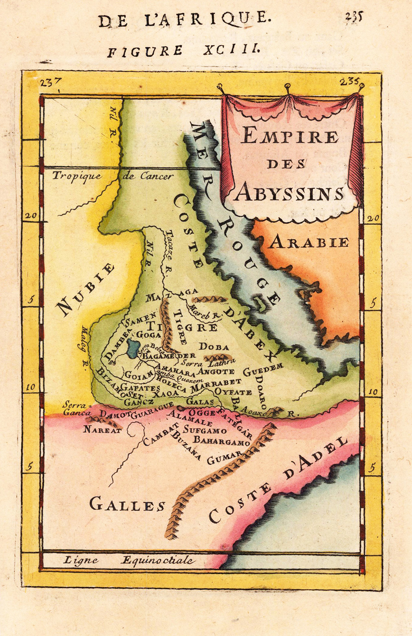
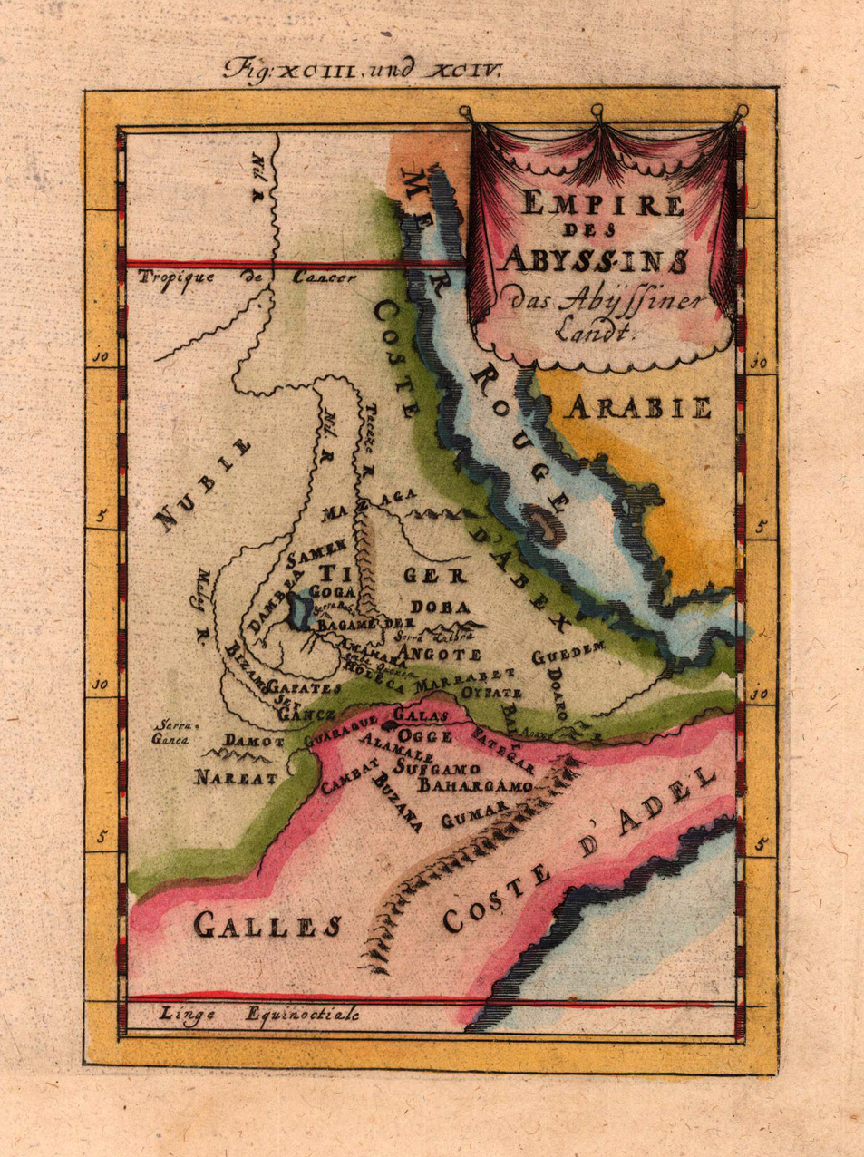
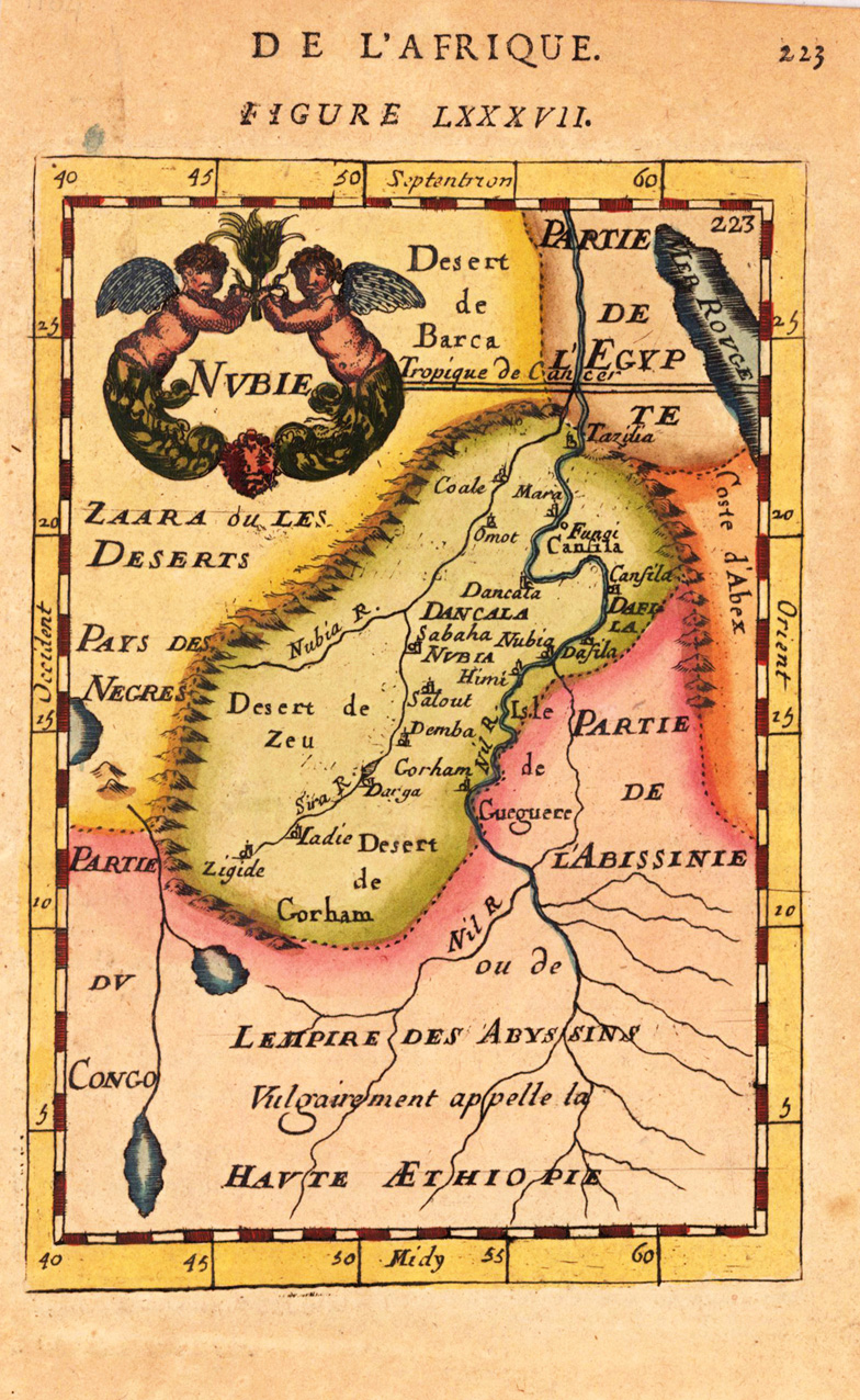
Copper engraving, hand colored in wash and outline, published in Allain Manesson Mallet's description of the world.
Alain Manesson Mallet (1630-1706) was a French cartographer and engineer. He started his career as a soldier in the army of Louis XIV, became a Sergeant-Major in the artillery and an Inspector of Fortifications. He also served under the King of Portugal, before returning to France, and his appointment to the court of Louis XIV. His military engineering and mathematical background led to his position teaching mathematics at court.His major publications were 'Description de L'Univers' (1683) in 5 volumes, and 'Les Travaux de Mars ou l'Art de la Guerre' (1684) in 3 volumes.
His 'Description de L'Universe' contains a wide variety of information, including star maps, maps of the ancient and modern world, and a synopsis of the customs, religion and government of the many nations included in his text. It has been suggested that his background as a teacher led to his being concerned with entertaining his readers. This concern manifests itself in the charming harbor scenes and rural landscapes that he included beneath his description of astronomical concepts and diagrams. Mallet himself drew most of the figures that were engraved for this book. (Wikipedia)
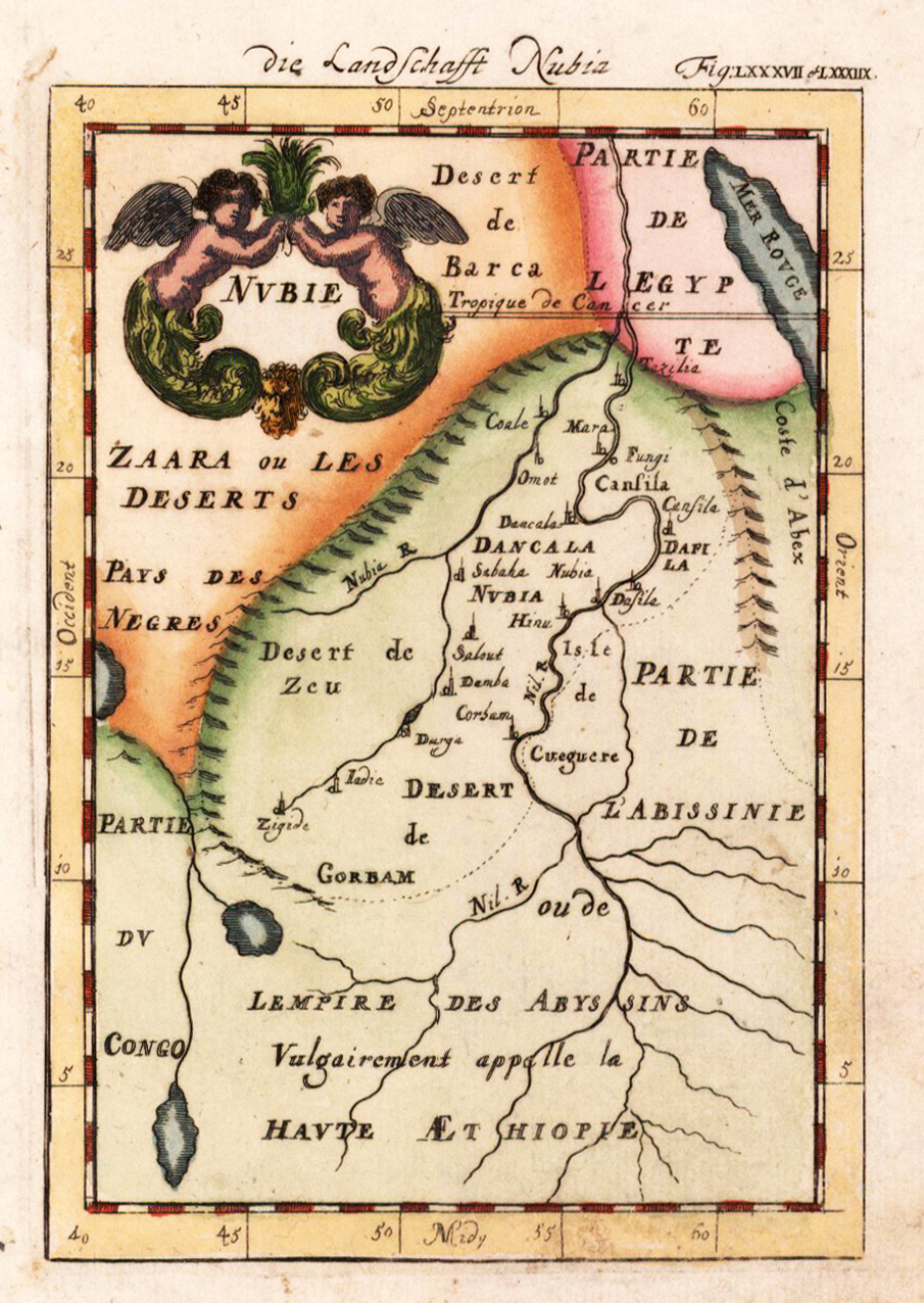
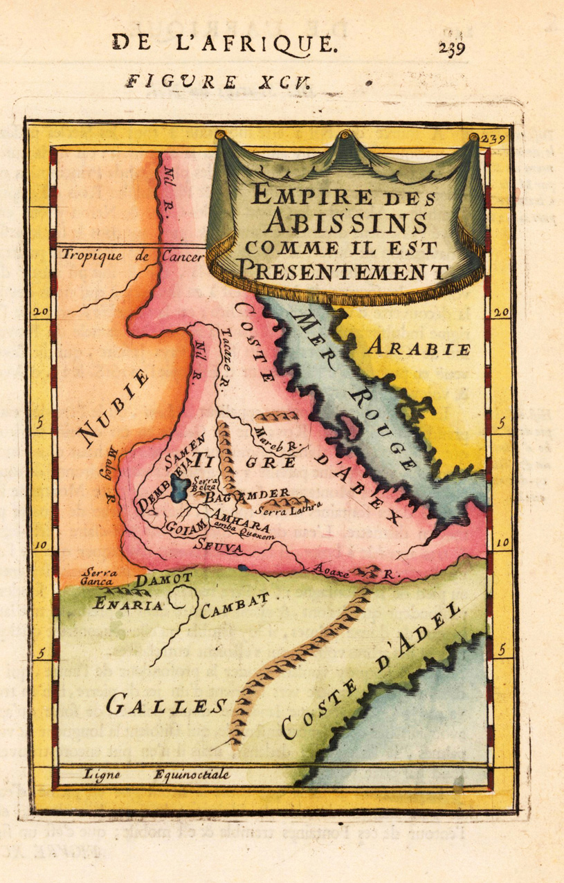
Copper engraving, hand colored in wash and outline, published in Allain Manesson Mallet's description of the world. Small and decorative map of the kingdom of Abyssinia with the neighboring Nubia and the Red Sea.
Copper engraving, hand colored in wash and outline, published in Allain Manesson Mallet's description of the world. Small and decorative map of the kingdom of Abyssinia with the neighboring Nubia and the Red Sea.
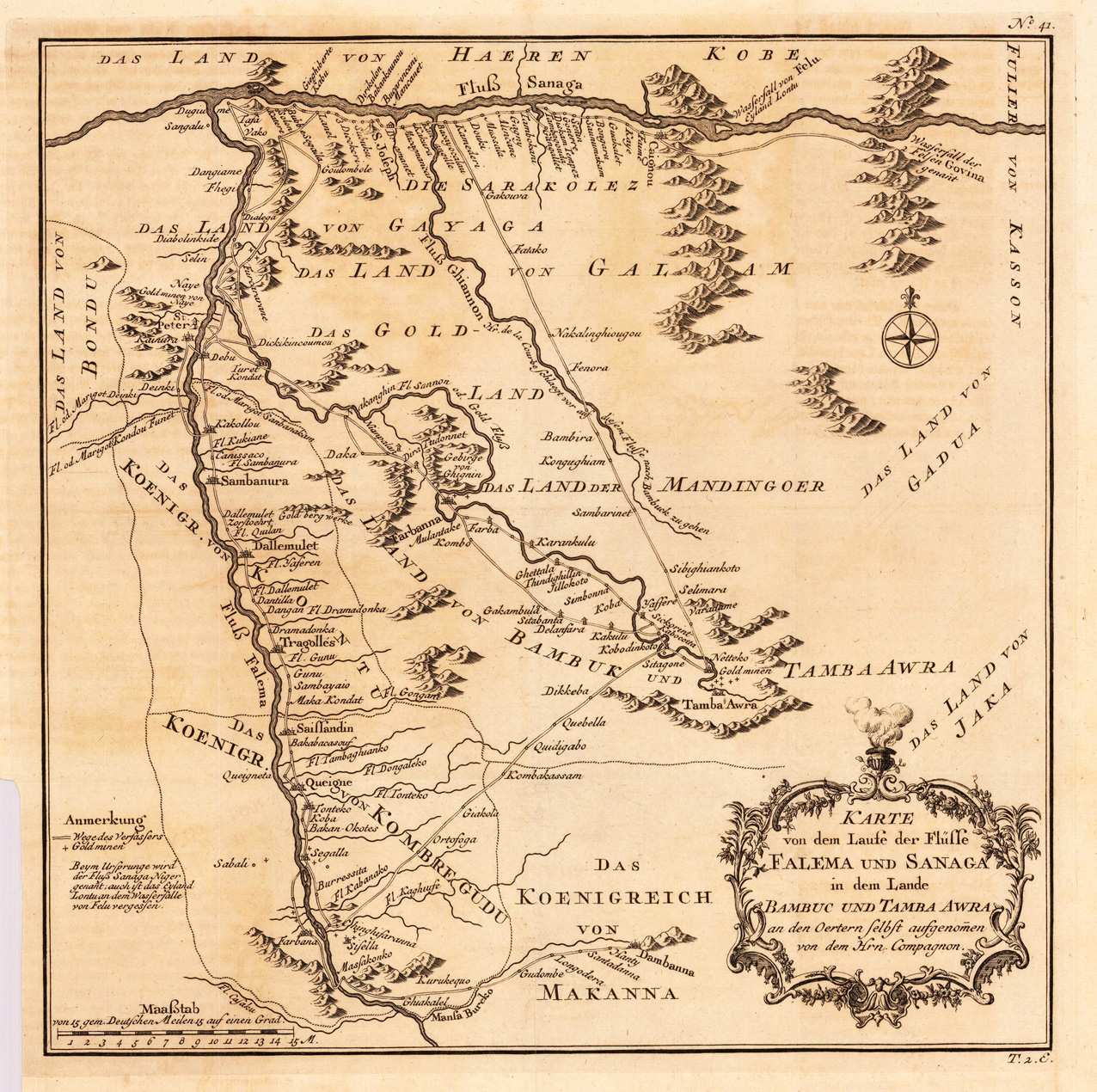
Copper engraving, uncolored as published. This decorative map of Bambuk is based on Compagnon's sketch and travel route. This map shows the confluence of the river Senegal and Falme, further its shows details of roads, rivers and gold mines. A fine detailed and interesting map engraved by Bellin after earlier voyages. Published in the German edition by Schwabe in Leipzig of Bellin's travel books.
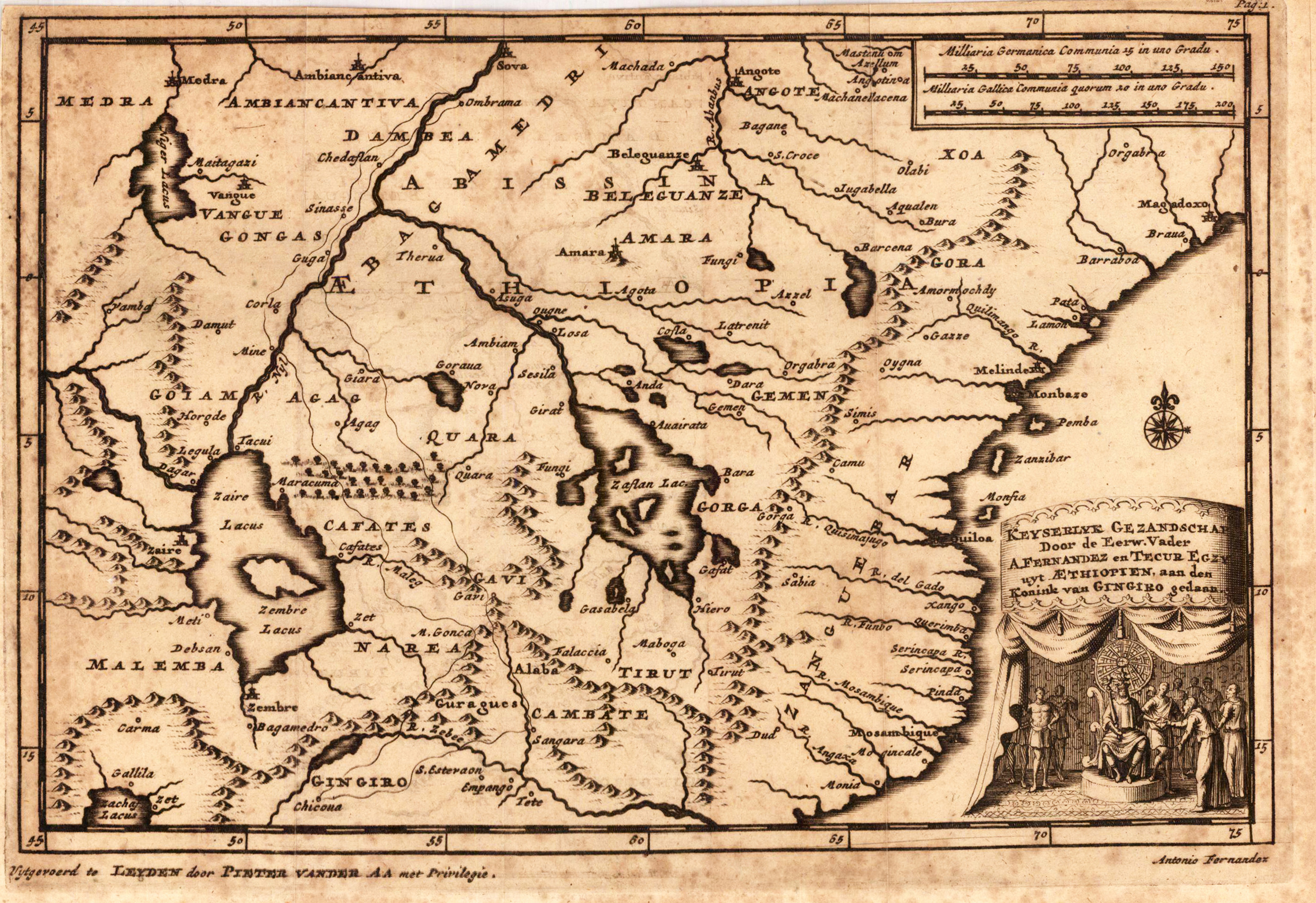
Original copper engraving, uncoloured as published. The famous Dutch publisher and mapmaker Pieter Van der Aa (1659 Leiden - 1733 Leiden) published during the period 1882-1733, an enormous quantity of printed matter (Koeman). This map was actually published in the first edition of his travelbooks Naauwkeurige versameling der gedenk-waardigste zee en landreysen na Oost en West-Indien, in Leiden 1706-08.
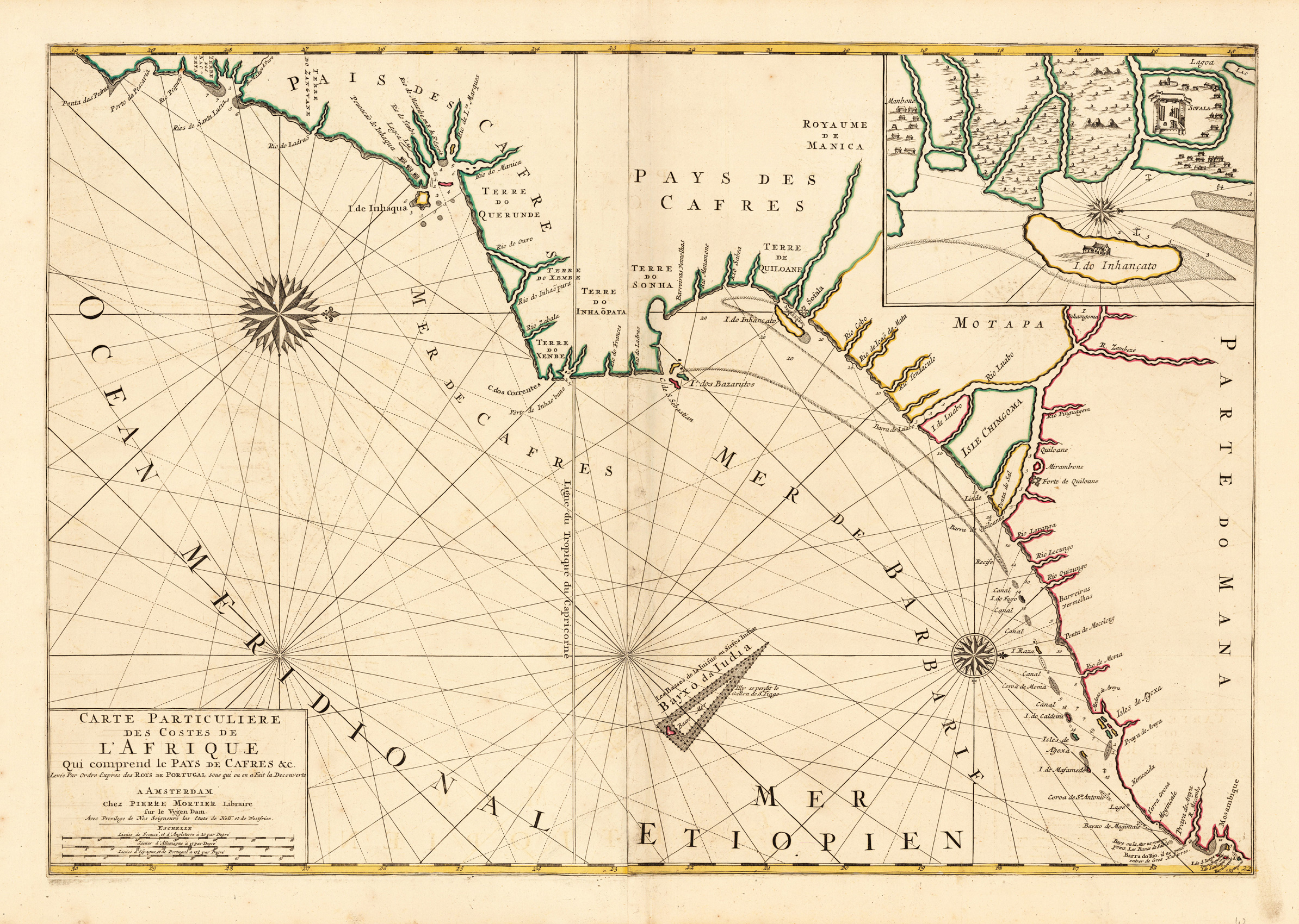
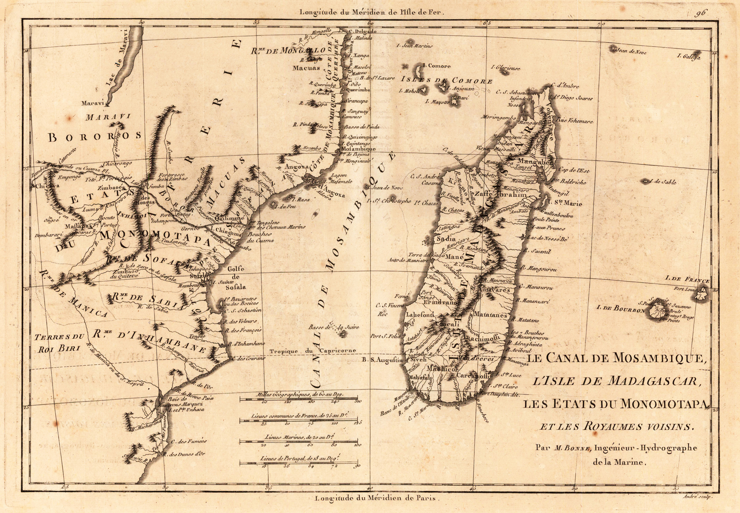
Copper engraving, uncolored as published. Detailed map of South Africa with the eastern coast, the canal de Mozambique and Madagascar. Along the coast are many place names, mountains and rivers engraved.
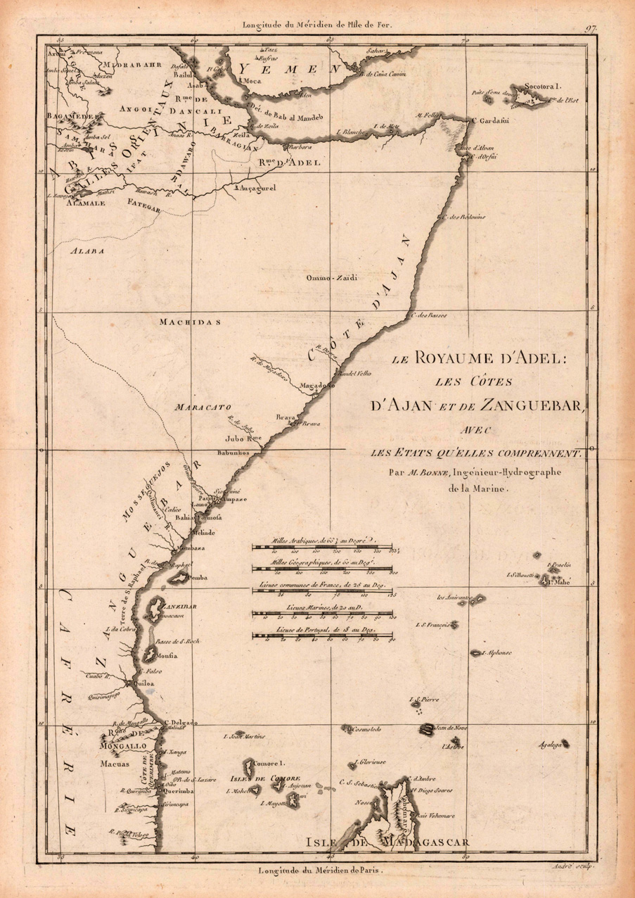
Original antique copper engraving, uncolored. Detailed map of the coast of East Africa with Zanzibar. Rigobert Bonne (6 October 1727 – 2 September 1794) was a French cartographer, widely considered to be one of the most important cartographers of the late 18th century. In 1773 Bonne succeeded Jacques Nicolas Bellin as Royal Cartographer to France in the office of the Hydrographer at the Depôt de la Marine. Working in his official capacity, Bonne compiled some of the most detailed and accurate maps of the period. Bonne's work represents an important step in the evolution of the cartographic ideology away from the decorative work of the 17th and early 18th century towards a more detail oriented and practical aesthetic. With regard to the rendering of terrain Bonne maps bear many stylistic similarities to those of his predecessor, Bellin. However, Bonne maps generally abandon such common 18th century decorative features such as hand coloring, elaborate decorative cartouches, and compass roses. While mostly focusing on coastal regions, the work of Bonne is highly regarded for its detail, historical importance, and overall aesthetic appeal. (Wikipedia)