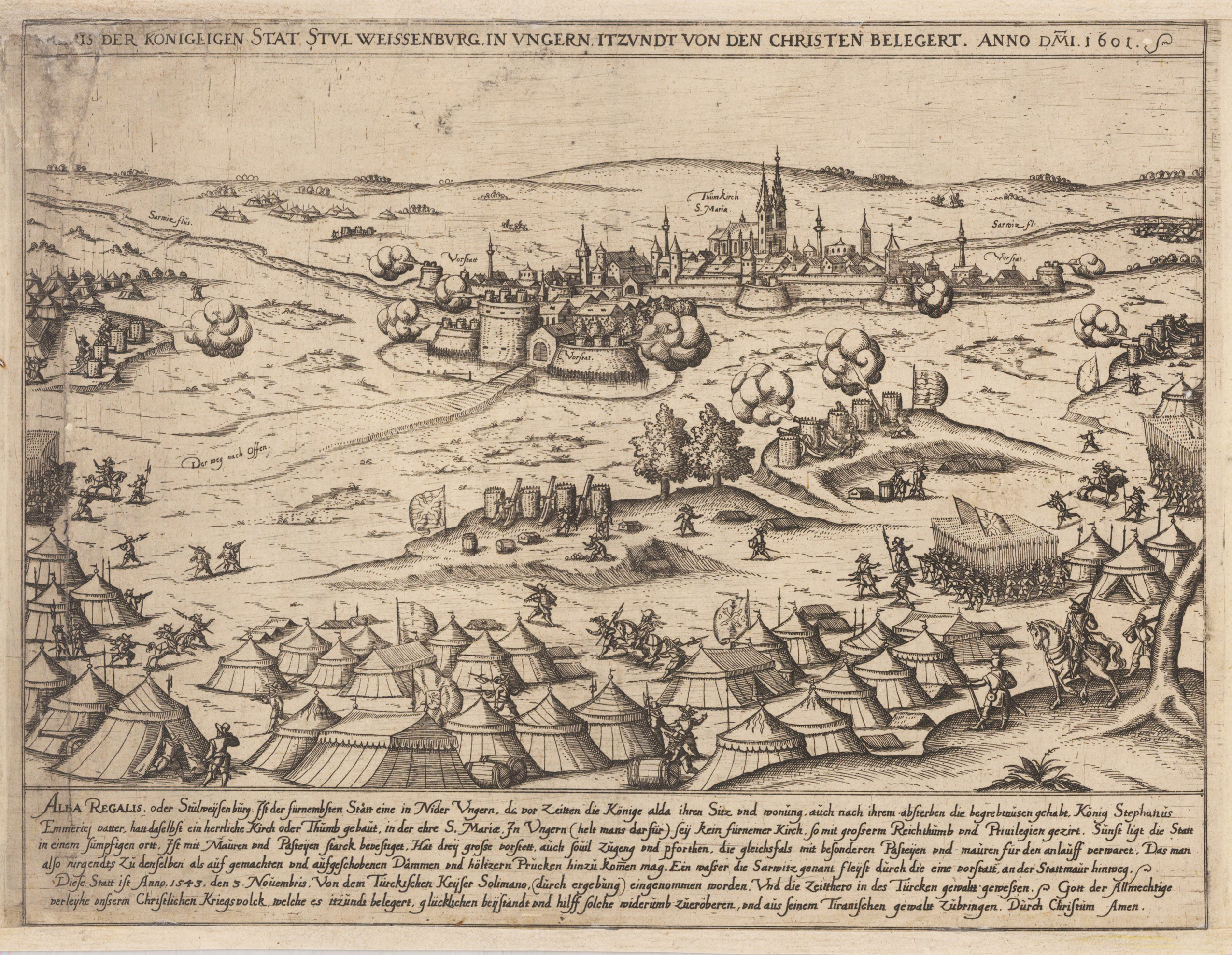
Original etching, uncolored. With six lines of descriptive text below. Representation of the siege of Stuhlweißenburg with the participation of Tilly shortly before the temporary conquest of 1601. Rare engraving with professional carefully marginal restaurations in the paper. The bottom skillfully remargined, upper left corner with loss of text in the title.
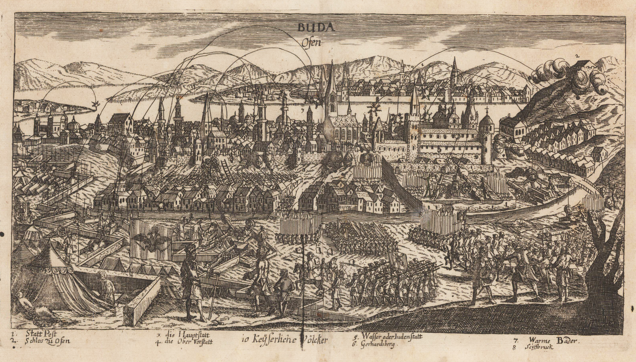
Original antique copper engraving, uncolored. Copper engraving of the siege of the western part of the city of Budapest (114684/1686), called Buda. Under the view are declarations from 1 to 8.
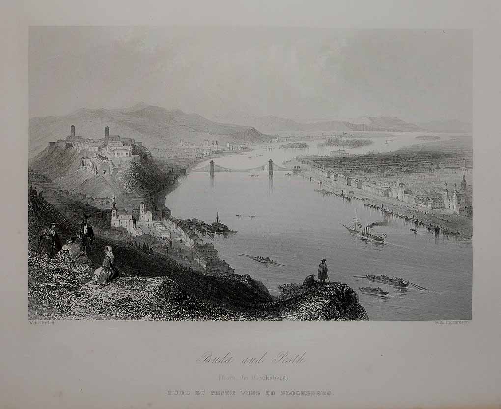
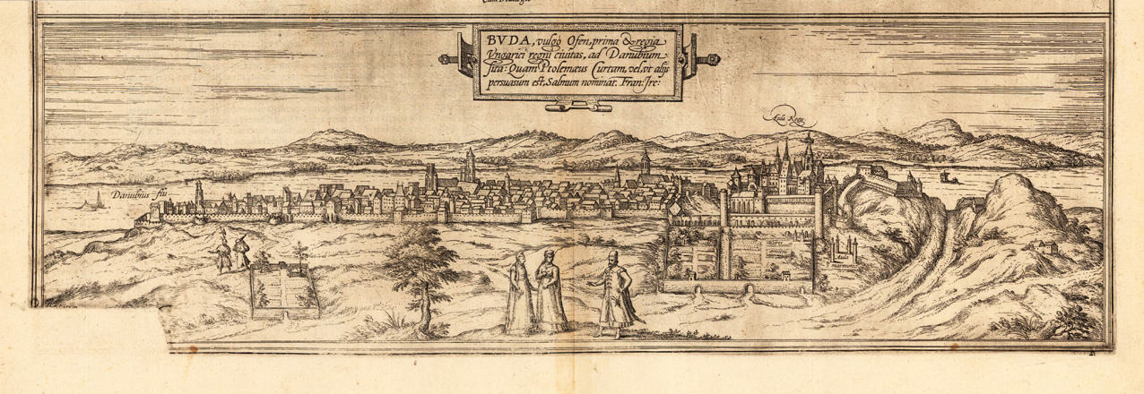
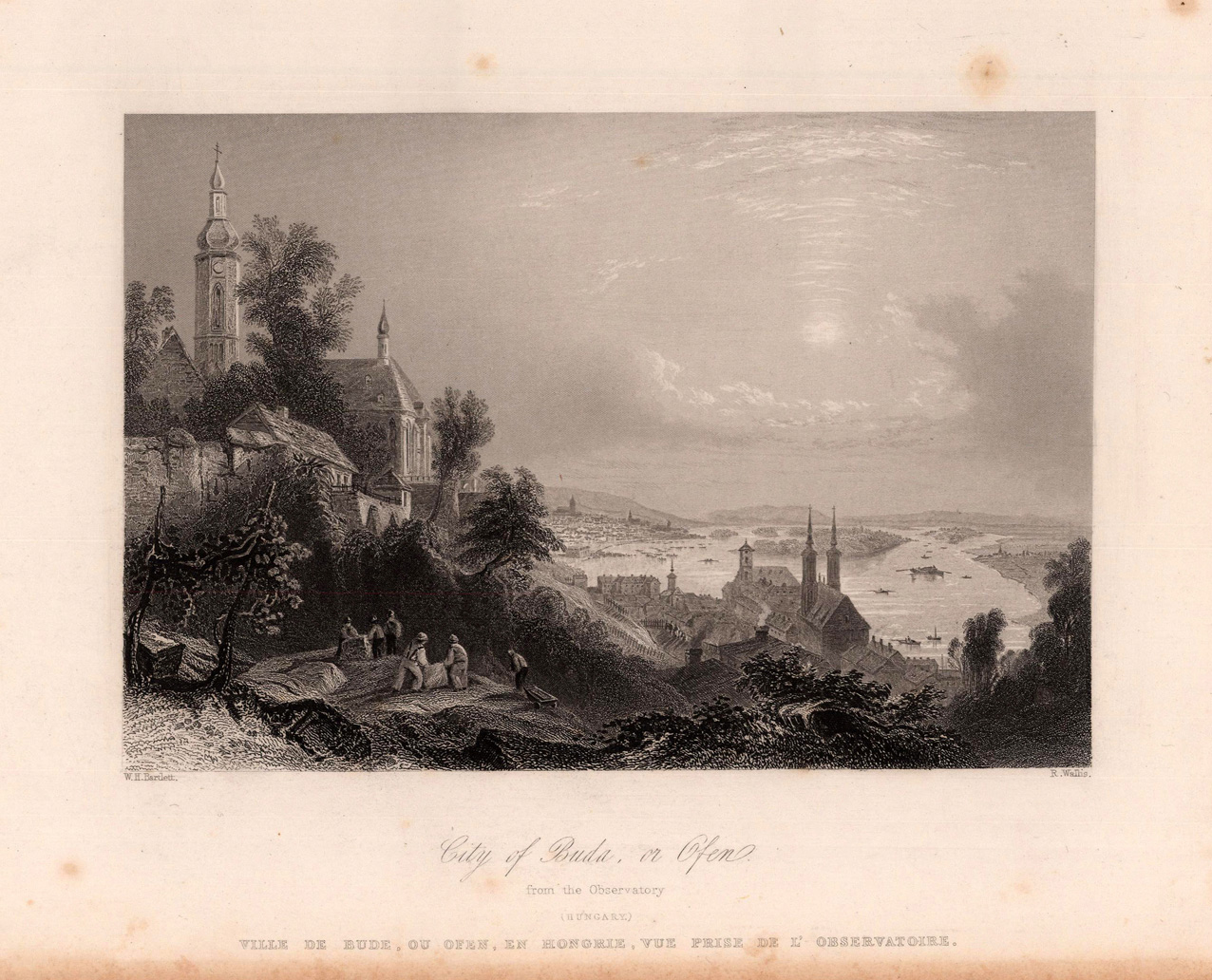
Copper engraving, uncolored as published. Budapest, a fine decorative panoramic city view also called Buda or Ofen. Buda is the capital of Hungary and located on the river Danube.
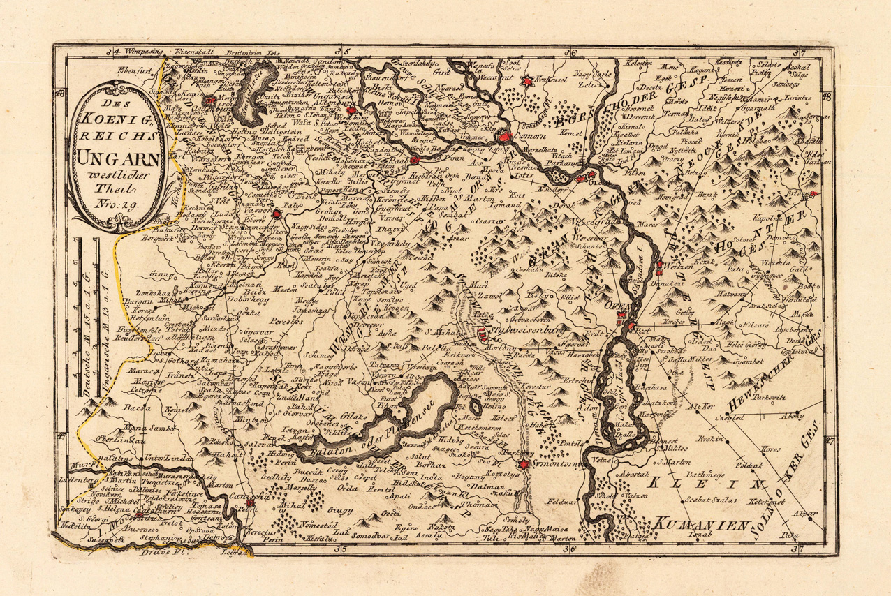
Original copper engraving, hand colored in wash and outline, when published. This detailed map shows the western part of Hungary. The map is equipped with many mountains, place names, rivers, the Balaton, woods, lakes, etc. The Austrian cartographer Franz Joh. Josef von Reilly published around 1789 in Vienna a large amount of very detailed district maps of Central Europe. These maps are famous for their large scales and the many details they provide. Even tiny place names can be found on those maps, rivers, mountains, streets, monasteries are as well engraved. The maps, which Franz J. Reilly engraved, were especially designed for the Austrian Royal house and show countries, provinces and districts belonging to the 'Austrian-Hungarian Empire'.
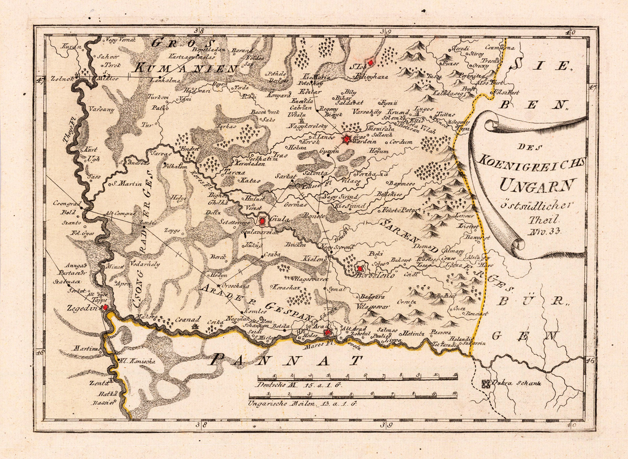
Original copper-engraving, hand colored in wash and outline, when published. Detailed map eastern southern part of Hungary with the neighbouring Bannat in the south and the neighbouring Siebenbürgen in the east. The map shows many place names Giula, BorosIeno, Arad, Wardein, Zegedin and others. A detailed map of this region in the Southeast of Hungary. Mountains, rivers, lakes, woods, small villages, streets, etc. are engraved.
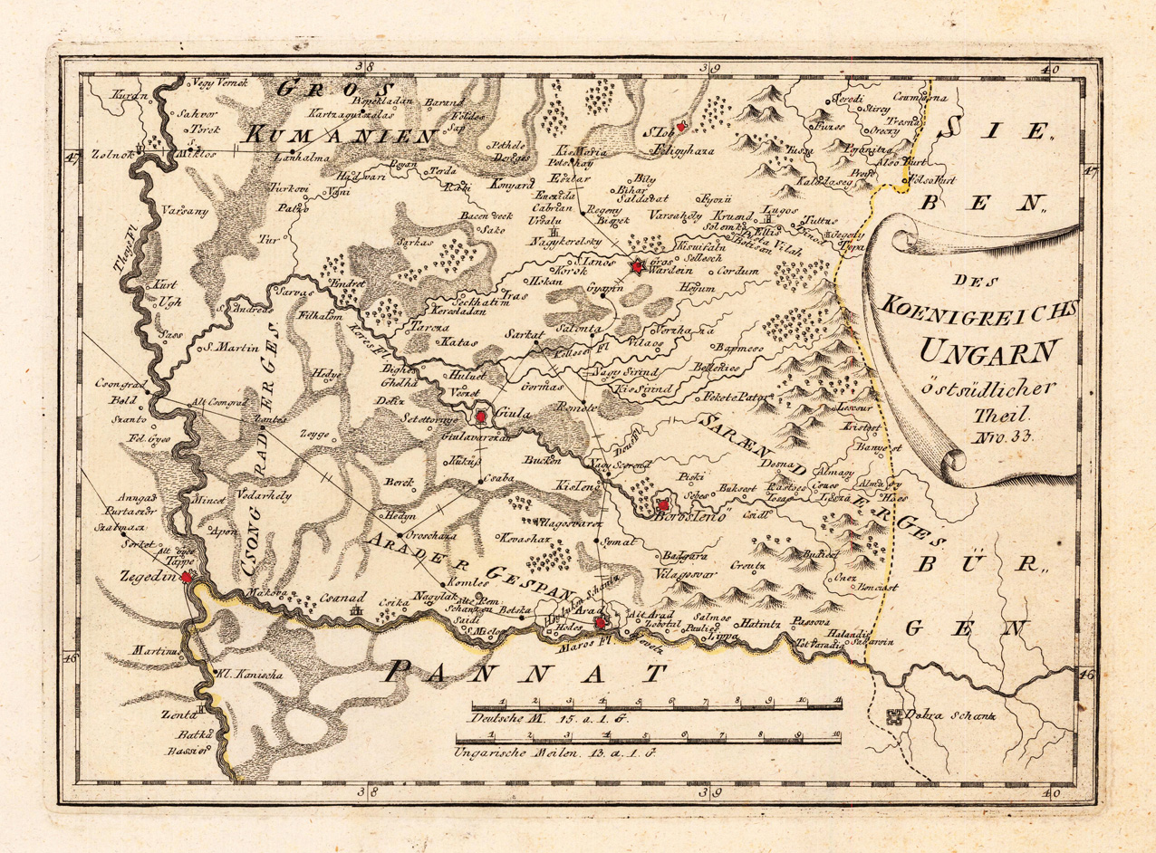
Original copper engraving, hand colored in wash and outline, when published. Detailed map eastern southern part of Hungary with the neighboring Bannat in the south and the neighboring Siebenbürgen in the east. The map shows many place names Giula, BorosIeno, Arad, Wardein, Zegedin and others. A detailed map of this region in the Southeast of Hungary. Mountains, rivers, lakes, woods, small villages, streets, etc. are engraved. The Austrian cartographer Franz Joh. Josef von Reilly published around 1789 in Vienna a large amount of very detailed district maps of Central Europe. These maps are famous for their large scales and the many details they provide. Even tiny place names can be found on those maps, rivers, mountains, streets, monasteries are as well engraved. The maps, which Franz J. Reilly engraved, were especially designed for the Austrian Royal house and show countries, provinces and districts belonging to the 'Austrian-Hungarian Empire'.
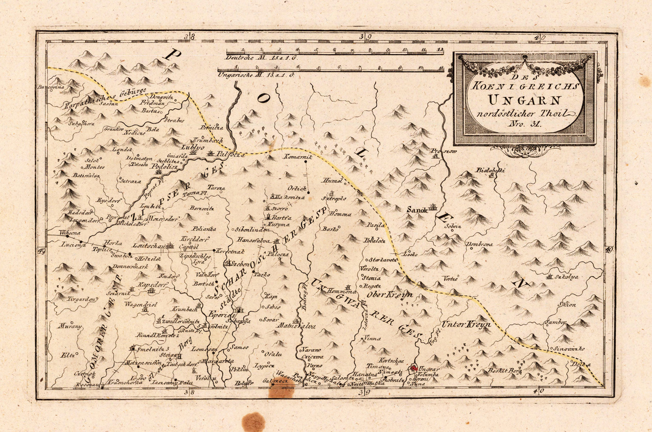
Original copper engraving, hand colored in outline, when published. This detailed map shows the north east part of Hungary. The map is equipped with mountains, rivers, place names, etc. The Austrian cartographer Franz Joh. Josef von Reilly published around 1789 in Vienna a large amount of very detailed district maps of Central Europe. These maps are famous for their large scales and the many details they provide. Even tiny place names can be found on those maps, rivers, mountains, streets, monasteries are as well engraved. The maps, which Franz J. Reilly engraved, were especially designed for the Austrian Royal house and show countries, provinces and districts belonging to the 'Austrian-Hungarian Empire'.
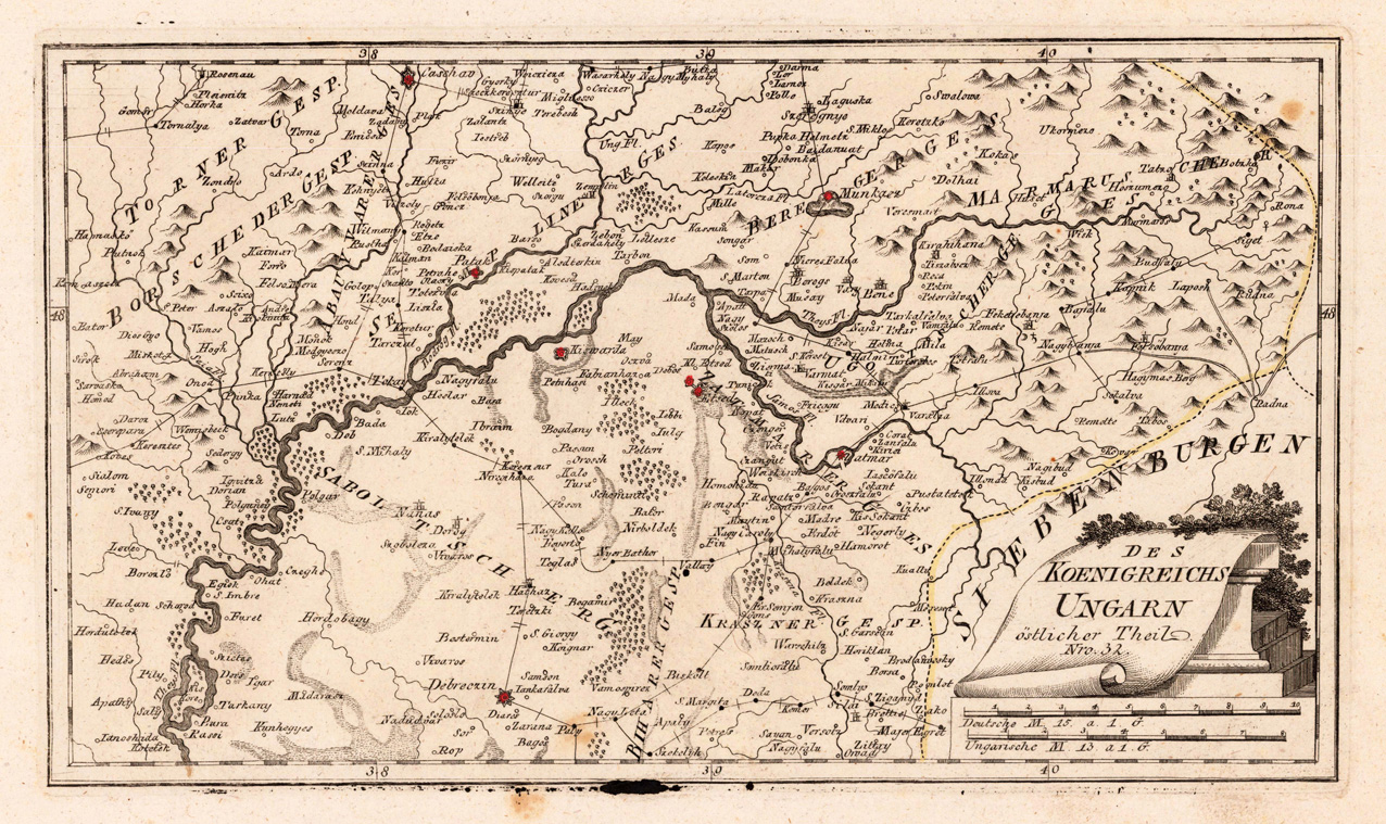
Original copper engraving, hand colored in wash and outline, when published. This detailed map shows the eatern part of the kingdom Hungary. Inside the map are many place names, rivers, lakes, mountains, woods, etc. engraved. The Austrian cartographer Franz Joh. Josef von Reilly published around 1789 in Vienna a large amount of very detailed district maps of Central Europe. These maps are famous for their large scales and the many details they provide. Even tiny place names can be found on those maps, rivers, mountains, streets, monasteries are as well engraved. The maps, which Franz J. Reilly engraved, were especially designed for the Austrian Royal house and show countries, provinces and districts belonging to the 'Austrian-Hungarian Empire'.
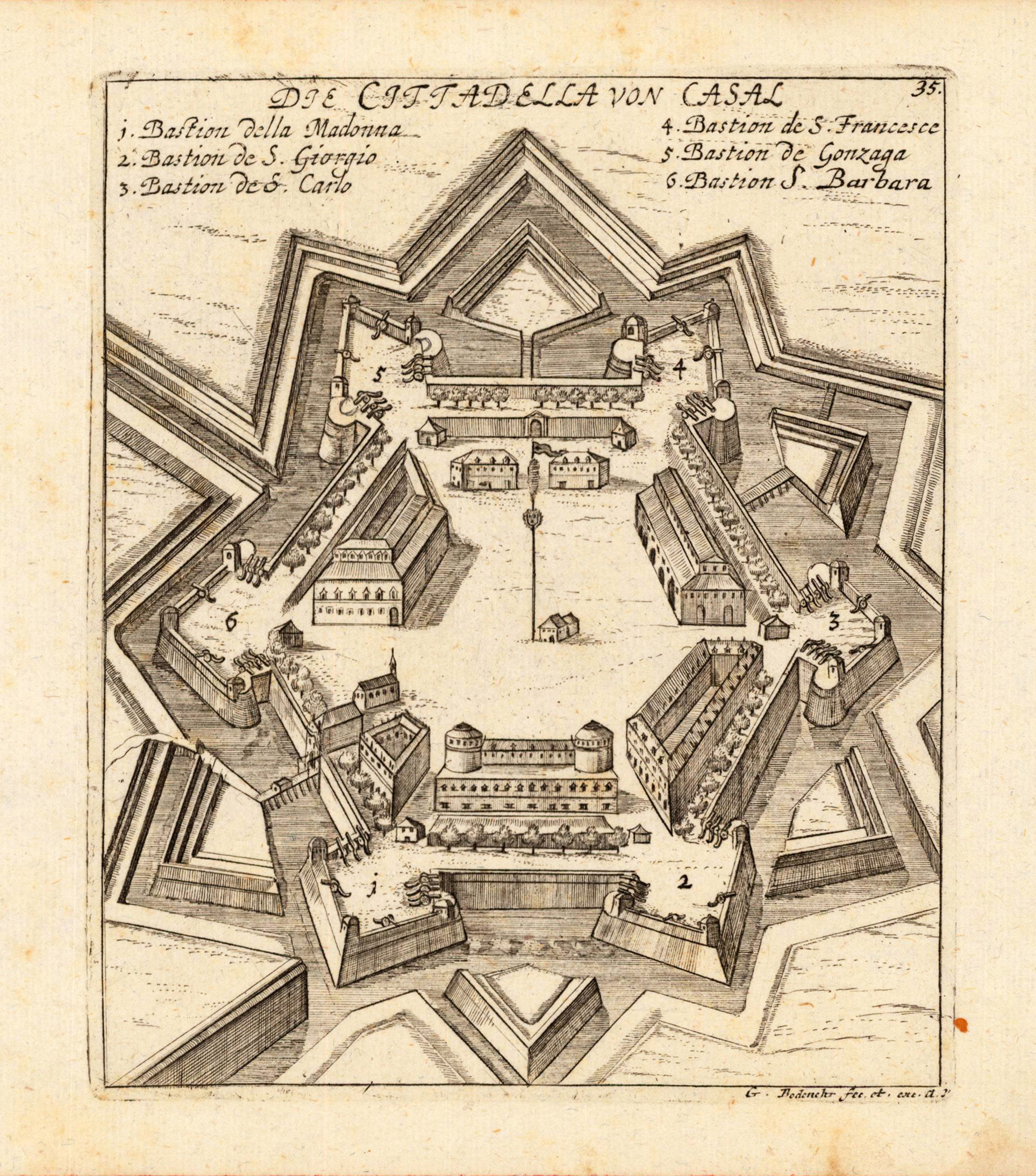
Original antique copper engraving, uncolored as published. This fine copper engraving shows the hungarian fort of Casal, and was published in Gabriel Bodenehr's famous serious "Europeans Macht und Pracht", a series of engravings depicting city views, plans, fortresses and castles in Europe. Many plates often are showing fortifications in Hungary and Southeast Europe, Spain, Belgium, Austria and Germany. Gabriel Bodenehr was during this period a successful publisher for maps and prints in Augsburg in Southern Germany. Gabriel Bodenehr the Elder (1664-1758 or 1673-1765) was a German map maker and member of a famous engraver and publisher family of Augsburg. His main work was "Atlas Curieux" first published 1704. He was the son of Johann Georg Bodenehr (1631-1703). Gabriel's son was Gabriel Bodenehr the Younger (1705–1792).
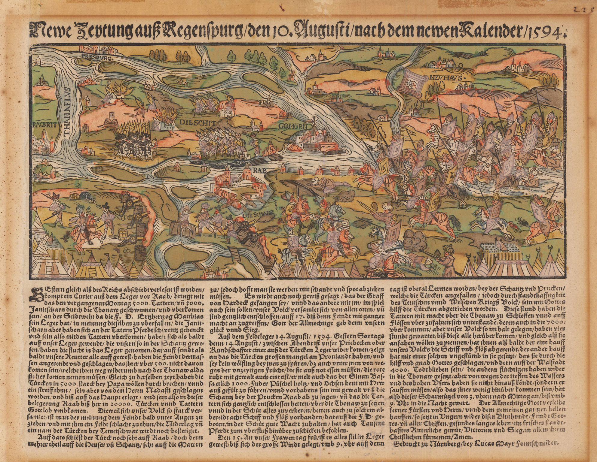
Original antiker Holzschnitt in zeitgenössischem Kolorit. "Newe Zeytung auß Regenspurg / den 10 Augusti / nach dem newen Kalender / 1594". Ansicht des Geländes um Raab mit den anstürmenden Türken, darunter drei Spalten zu je 24 Zeilen Text, frühes Beispiel eines illustrierten Flugblattes (Vorstufe der heutigen illustrierten Zeitungen). Als Newe Zeytung (oder Neue Zeitung) werden die ersten, gedruckten Nachrichtenblätter bezeichnet. Die bereits erscheinenden Zeitungen, wie die Fuggerzeitung waren noch handschriftliche Nachrichtensammlungen. Die „Neuen Zeitungen" gelten dagegen als die Vorläufer der modernen Zeitung. „Neue Zeitungen" ist der Sammelbegriff für verfasste und dann gedruckte Nachrichten und Berichte. „Newe Zeytung vom orient und auff gange", so die Überschrift eines Artikels, der 1502 erstmals die Bezeichnung „Zeitung" für ein gedrucktes Nachrichtenblatt verwendete. In dieser ersten Zeitung wurde die Wiedereroberung der Insel Lesbos durch die Franzosen mitgeteilt. Die „Neuen Zeitungen" waren in der Regel thematisch begrenzte, jeweils nach Bedarf und aus besonderem Anlass veröffentlichte Nachrichtenblätter von 1 bis 20 Seiten Umfang. Titelzeilen und Text waren häufig mit Holzschnitten, Illustrationen, Rahmenleisten, Initialen und Vignetten ausgeschmückt und bildeten somit ein erstes Zeitungslayout heraus. Sie waren zumeist großformatig. Sie berichteten von aktuellen Ereignissen oder fassten die politischen, kulturellen und gesellschaftlichen Begebenheiten der letzten Zeit zusammen. Bevorzugt Sensationsnachrichten wurden veröffentlicht. Sie erschienen regelmäßig, besaßen somit damals schon eine gewisse Periodizität und Aktualität. Circa bis zum Beginn des 18. Jahrhunderts gab es die „Neuen Zeitungen", die Titelanzahl zwischen 1500 und 1700 wird auf 5000 bis 8000 geschätzt. Zu den ältesten gedruckten deutschen „Neuen Zeitungen" zählt die Flugschrift „Copia der Newen Zeitung auß Presillg Land" (=Brasilien-Land). Sie zählt zu den so genannten „Entdeckerzeitungen". Einer der frühesten Zeitungsherausgeber in Deutschland war Christoph von Scheurl. Er war in Nürnberg Jurist und Politiker und sammelte Informationen und Nachrichten, die er in einer „Neuen Zeitung" zusammenfasste und Adligen und Kaufleuten verkaufte. Von 1512 bis 1537 schrieb er diese zunächst handschriftlich und druckte sie dann, somit konnten sie verstärkt verbreitet werden. Der Begriff „Zeitung" tauchte als „zidunge" mit der Bedeutung „Kunde" oder „Nachricht" im Raum Köln bereits am Anfang des 14. Jahrhunderts auf. (Wikipedia)
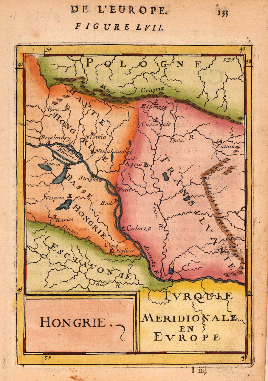
Copper engraving, hand colored in wash and outline, published in Allain Manesson Mallet's description of the world. Decorative map which shows two Hungaries.
Copper engraving published in Allain M. Mallet's description of the world 'Description De L' Univers, Contenant Les Differents Systemes Du Monde, Les Cartes generales & particulieres ...'. French text edition with additional German titles on top. Decorative map which shows two Hungaries.
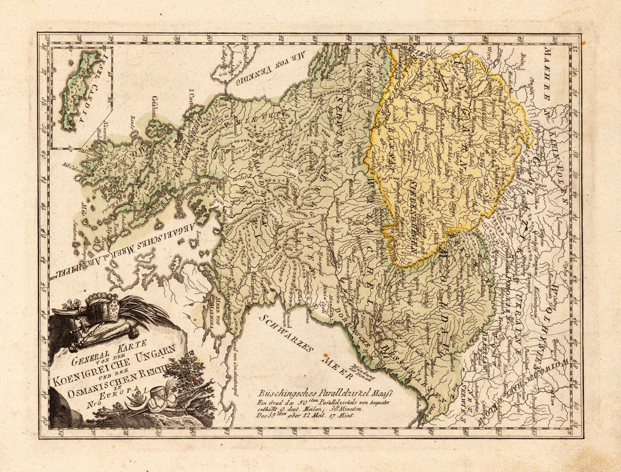
Original copper engraving, hand colored in wash and outline, when published. This antique map shows the kingdom of Hungary. The map is equipped with place names, rivers, mountains, etc. Inside the map are Siebenbürgen, Moldau, Walachel, Greece, Ukraine, a part of Galizie, the black ocean, etc. engraved. In the lower left corner we see an inset map, which shows the island Candia. The Austrian cartographer Franz Joh. Josef von Reilly published around 1789 in Vienna a large amount of very detailed district maps of Central Europe. These maps are famous for their large scales and the many details they provide. Even tiny place names can be found on those maps, rivers, mountains, streets, monasteries are as well engraved. The maps, which Franz J. Reilly engraved, were especially designed for the Austrian Royal house and show countries, provinces and districts belonging to the 'Austrian-Hungarian Empire'.
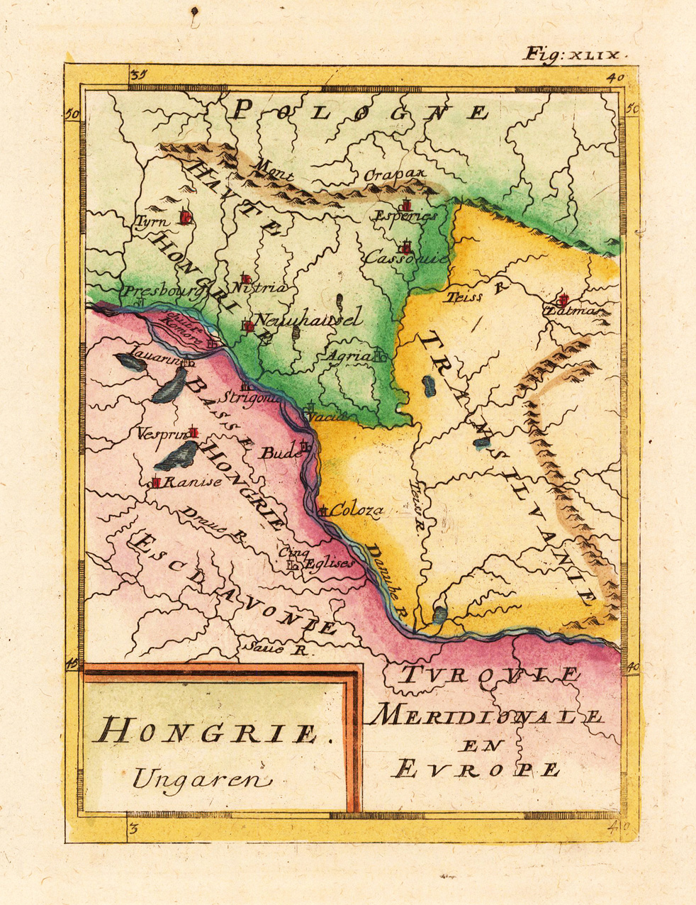
Copper engraving, hand colored in wash and outline, published in Allain Manesson Mallet's description of the world. A small and decorative hand colored map showing Hungaria and Transylvania. In the centre of the map the river Danube, various place names are engraved.
Copper engraving, hand colored in wash and outline, published in Allain Manesson Mallet's description of the world. A small and decorative hand colored map showing Hungaria and Transylvania. In the centre of the map the river Danube, various place names are engraved.
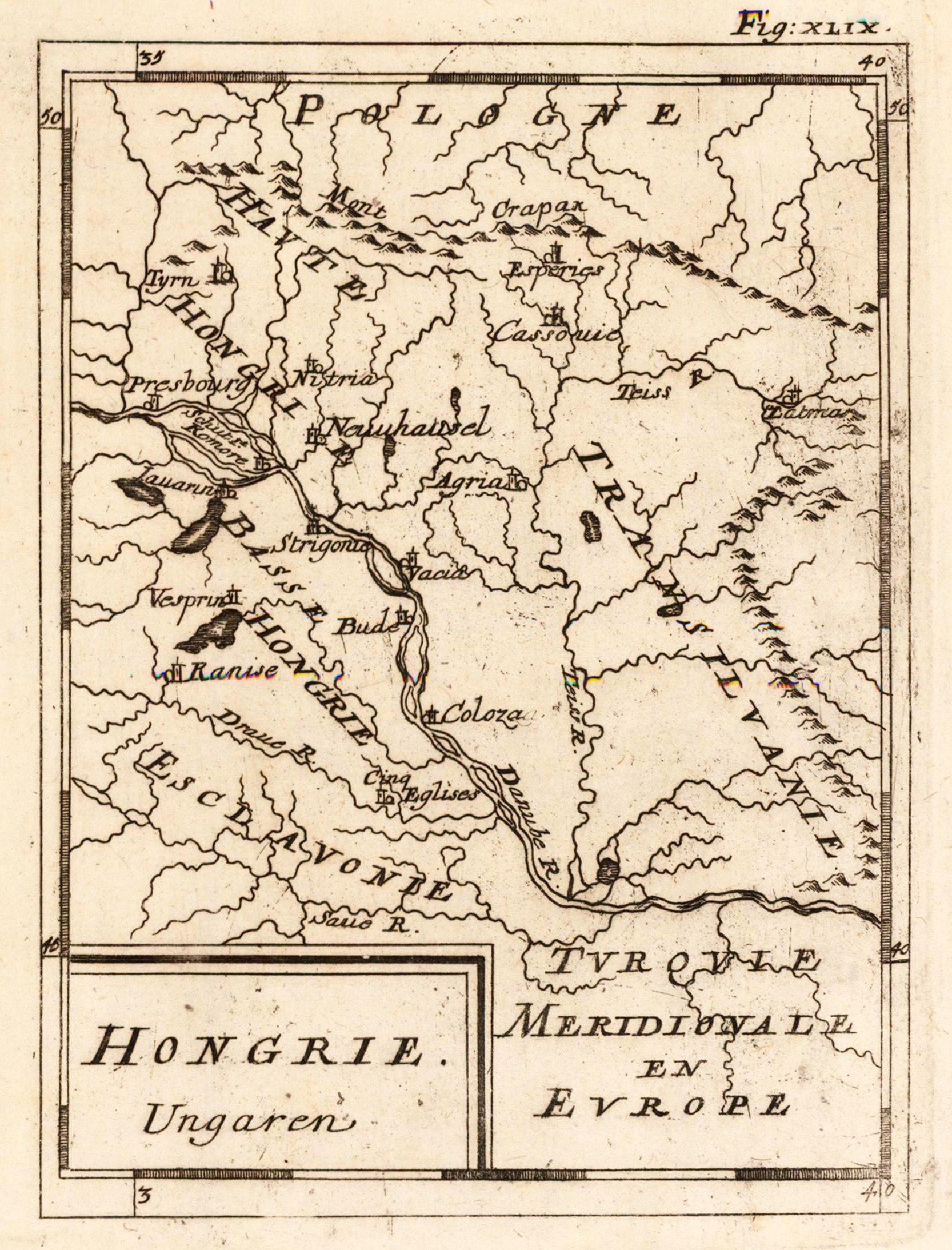
Copper engraving published in Allain M. Mallet's description of the world 'Description De L' Univers, Contenant Les Differents Systemes Du Monde, Les Cartes generales & particulieres ...'. French text edition with additional German titles on top. A small and decorative uncolored map showing Hungaria and Transylvania. In the centre of the map the river Danube, various place names are engraved.
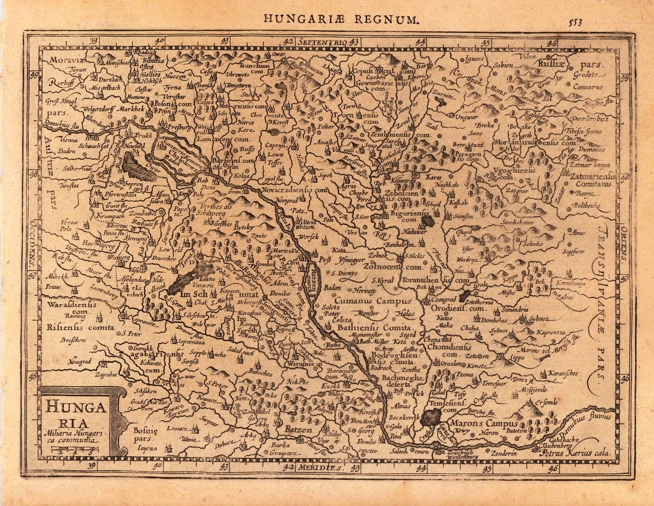
Original antique copper engraving, uncolored as published. A fine copy in a dark impression, full margins as published. The map shows the area from Vilna in the north to Zenderin in the south, from Vienna in the west to Karansches in the east. This is the first so-called Cloppenburgh editions which was a competive edition with new engraved maps in a larger format. Most of the maps were engraved by Pieter van den Keere. The Cloppenburgh edition was continued for a couple of years but seems to have been suppressed after 1636 ... . This is another Cloppenburgh edition, now with Latin text. The maps from the Appendix have been incorporated. The title-page is followed by a dedication to Prince Frederik Hendrik, dated 1632 and signed by Johannes Cloppenburgh. (Koeman Atlantes Neerlandici). Gerardus Mercator (5 March 1512 – 2 December 1594) was a 16th-century geographer, cosmographer and cartographer from the County of Flanders. He is most renowned for creating the 1569 world map based on a new projection which represented sailing courses of constant bearing (rhumb lines) as straight lines—an innovation that is still employed in nautical charts. Mercator was one of the pioneers of cartography and is widely considered the most notable figure of the school in its golden age (approximately 1570s–1670s). In his own day, he was a notable as maker of globes and scientific instruments. In addition, he had interests in theology, philosophy, history, mathematics and geomagnetism. He was also an accomplished engraver and calligrapher. Unlike other great scholars of the age he travelled little and his knowledge of geography came from his library of over one thousand books and maps, from his visitors and from his vast correspondence (in six languages) with other scholars, statesmen, travellers, merchants and seamen. Mercator's early maps were in large formats suitable for wall mounting but in the second half of his life, he produced over 100 new regional maps in a smaller format suitable for binding into his Atlas of 1595. This was the first appearance of the word Atlas in reference to a book of maps. However, Mercator used it as a neologism for a treatise (Cosmologia) on the creation, history and description of the universe, not simply a collection of maps. He chose the word as a commemoration of the Titan Atlas, "King of Mauretania", whom he considered to be the first great geographer. A large part of Mercator's income came from sales of his terrestrial and celestial globes. For sixty years they were considered the finest in the world, and were sold in such great numbers that there are many surviving examples. This was a substantial enterprise involving the manufacture of the spheres, printing the gores, building substantial stands, packing and distributing all over Europe. He was also renowned for his scientific instruments, particularly his astrolabes and astronomical rings used to study the geometry of astronomy and astrology. Mercator wrote on geography, philosophy, chronology and theology. All of the wall maps were engraved with copious text on the region concerned. As an example the famous world map of 1569 is inscribed with over five thousand words in fifteen legends. The 1595 Atlas has about 120 pages of maps and illustrated title pages but a greater number of pages are devoted to his account of the creation of the universe and descriptions of all the countries portrayed. His table of chronology ran to some 400 pages fixing the dates (from the time of creation) of earthly dynasties, major political and military events, volcanic eruptions, earthquakes and eclipses. He also wrote on the gospels and the old testament. Mercator was a devout Christian born into a Catholic family at a time when Martin Luther's Protestantism was gaining ground. He never declared himself as a Lutheran but he was clearly sympathetic and he was accused of heresy by Catholic authorities; after six months in prison he was released unscathed. This period of persecution is probably the major factor in his move from Catholic Leuven (Louvain) to a more tolerant Duisburg, in the Holy Roman Empire, where he lived for the last thirty years of his life. Walter Ghim, Mercator's friend and first biographer, describes him as sober in his behaviour, yet cheerful and witty in company, and never more happy than in debate with other scholars. Above all he was pious and studious until his dying days. (Wikipedia)
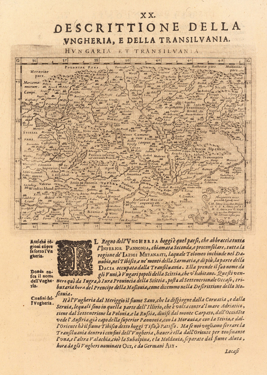
Fine copper-engraved map, printed into the full text page, published in 'Geografia ... Universale de la Terra', which was translated by Cernoti and published 1621 in Padua.
Original antique copper engraving, uncolored. Copper engraving from Johann Christoph Wagners,Delinatio Provinciarum Pannoniae Et Imperii Turcici In Oriente'. Depicted is king Leopold the 1st of Hungary and Bohemia. He is sitting on a battle horse. Under the view is a german desription with all of his titles and a poem about him.
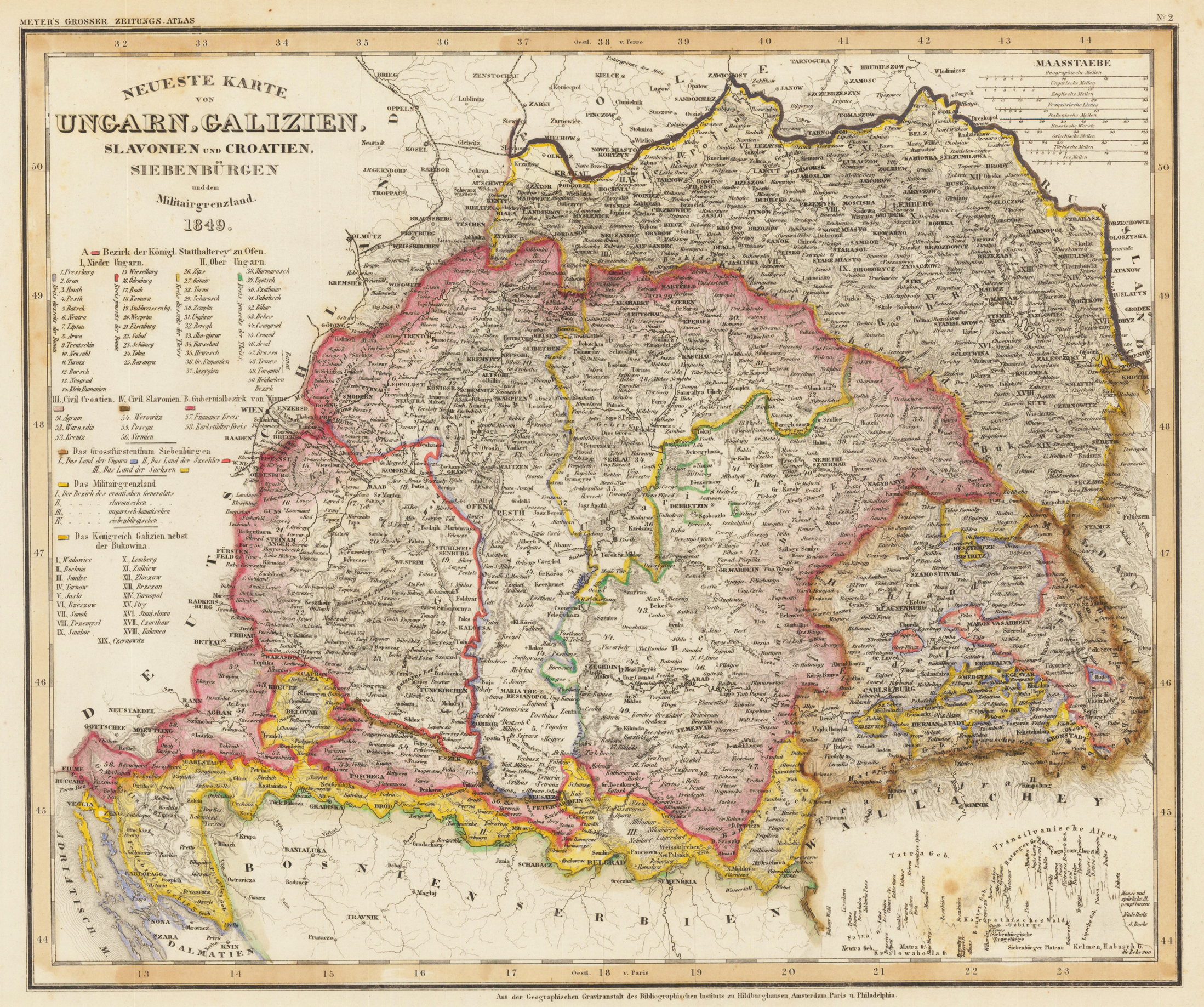
Antique steel engraving hand colored in outline, published in Meyer's Handatlas. The title is engraved in the upper left corner, among them are the detailed explanations to the population, villages, mountains, etc. In the upper right corner are nine different mileage scales.