
Your results
2
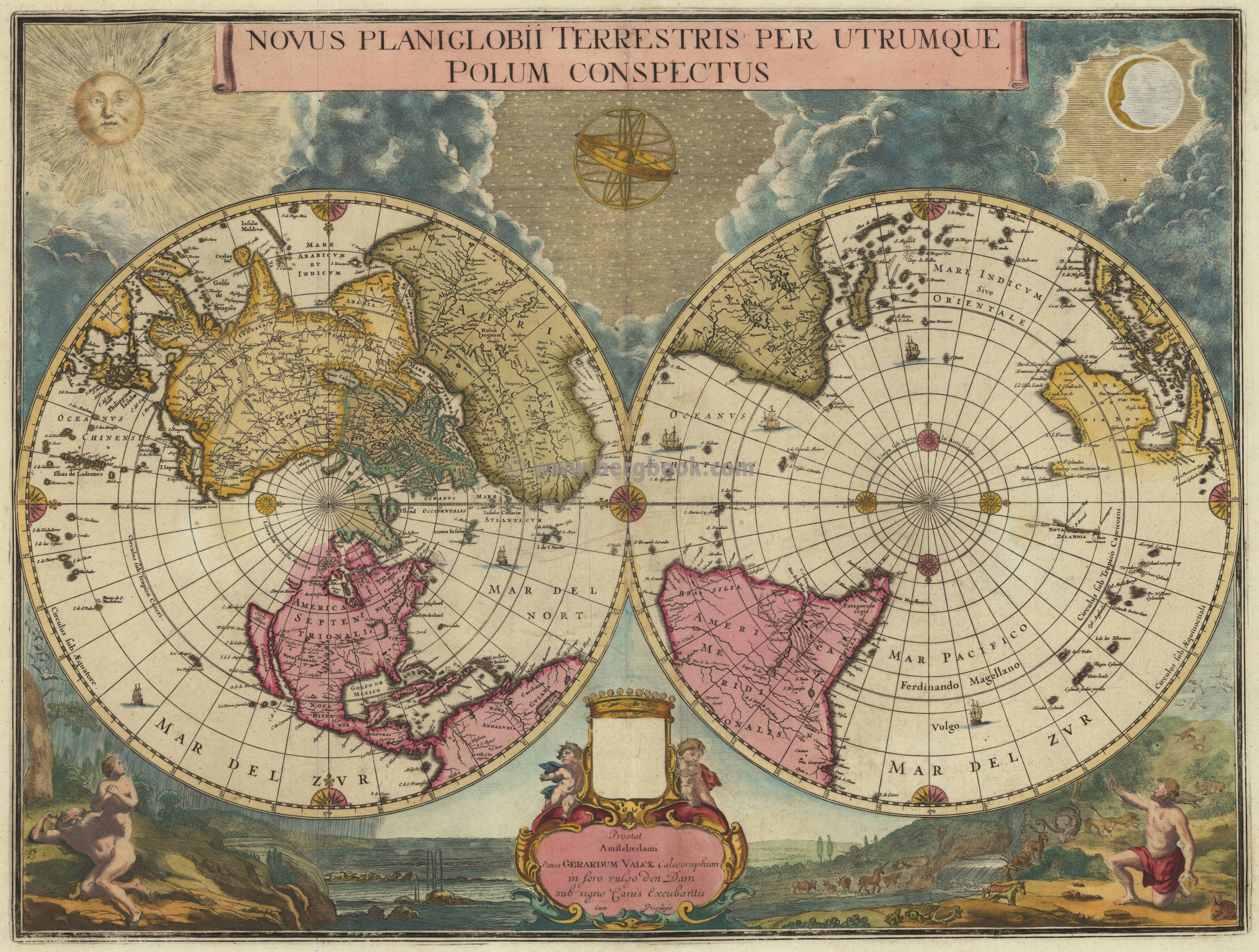
Novus Planiglobii Terrestris per Utrumque Polum Conspectus. Prostant Amstelaedami Penes Gerardum Valck Calcographum in soro vulgo den Dam sub signo Ganis Excubantis Cum Privilegio.
€6,500.00*
Copper engraving, old colored in outline and wash. Gerard Valk acquired this plate from the former Dutch publisher house Blaeu. The plate was probably prepared in the last years of Joan Blaeu's life, in 1672-73. 'The projection used - two north and south polar views, each extending to the equator - is not a common one and it has been suggested that Blaeu intended this special map for the Spanish edition of the Atlas Major which was never completed.' Shirley. - Further Valk made no changes to the map itself and also the amorial shield above the imprint remains blank.
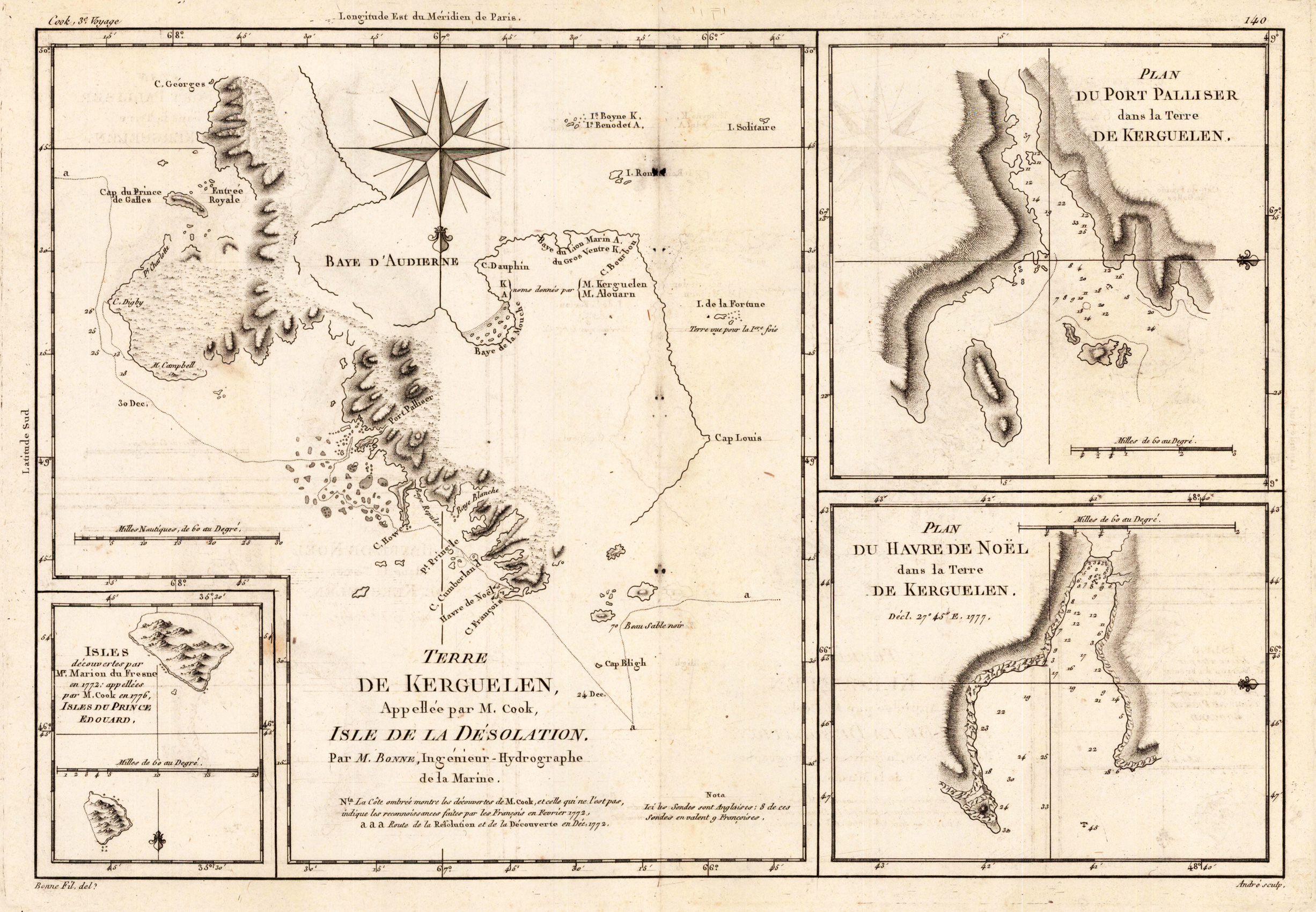
Terre de Kerguelen, Apellee par M. Cook, Isle de la Desolation. Par M. Bonne, Ingenieur-Hydrographe de la Marine.
€95.00*
Copper engraving, uncolored as published. Rigobert Bonne (1727-1794) was a French cartographer of the late 18th century. He studied in Paris and practiced cartography. He became a skilled cartographer and hydrographer and became a royal hydrographer at the ,Depot de la Marine' in 1773. In 1780 he engraved and published the maps for Abbe Raynal's work ,Atlas de Toutes Les Parties Connues du Globe Terrestre'. He also published many charts for the ,Depot de la Marine', further he engraved the maps for the ,Atlas Encyclopedique' in 1788 together with Nicholas Desmarest.