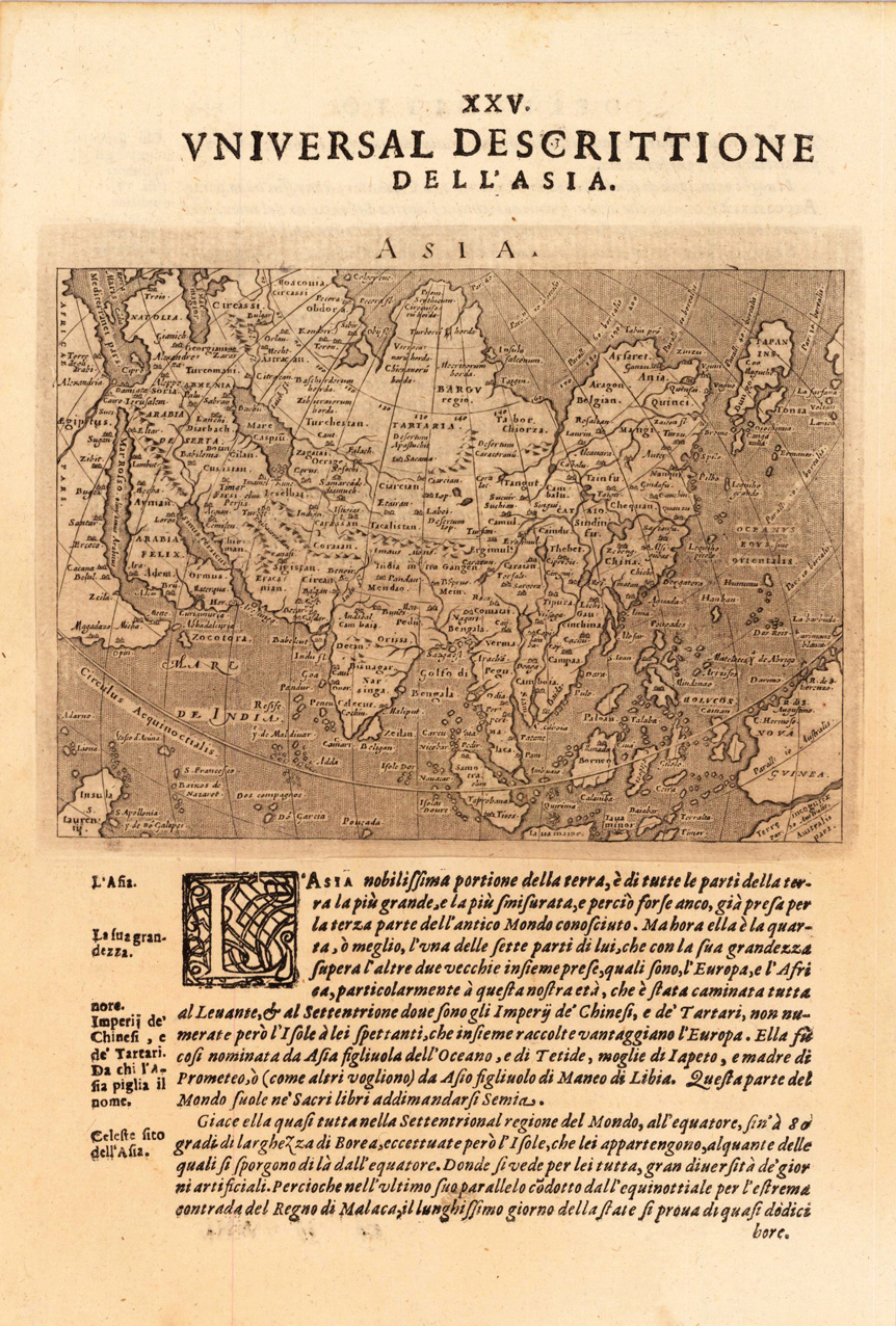
Fine copper-engraved map, printed into the full text page, published in 'Geografia ... Universale de la Terra', which was translated by Cernoti and published 1621 in Padua.
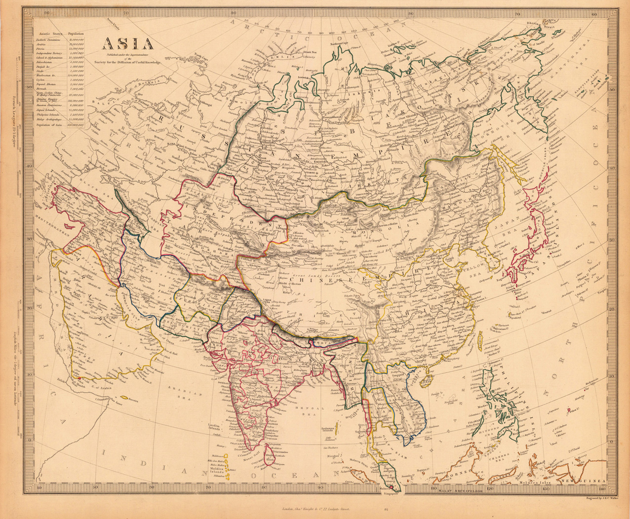
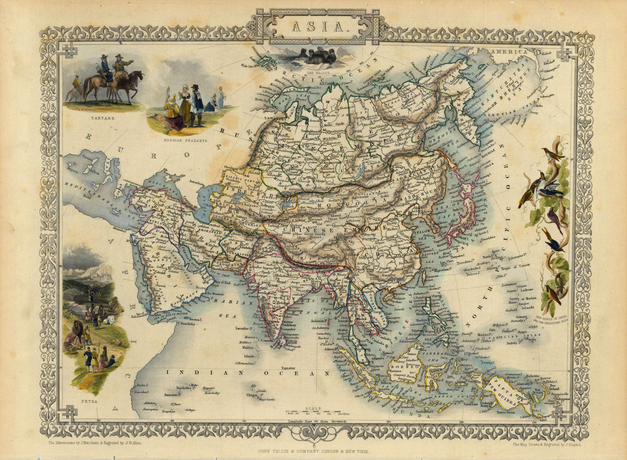
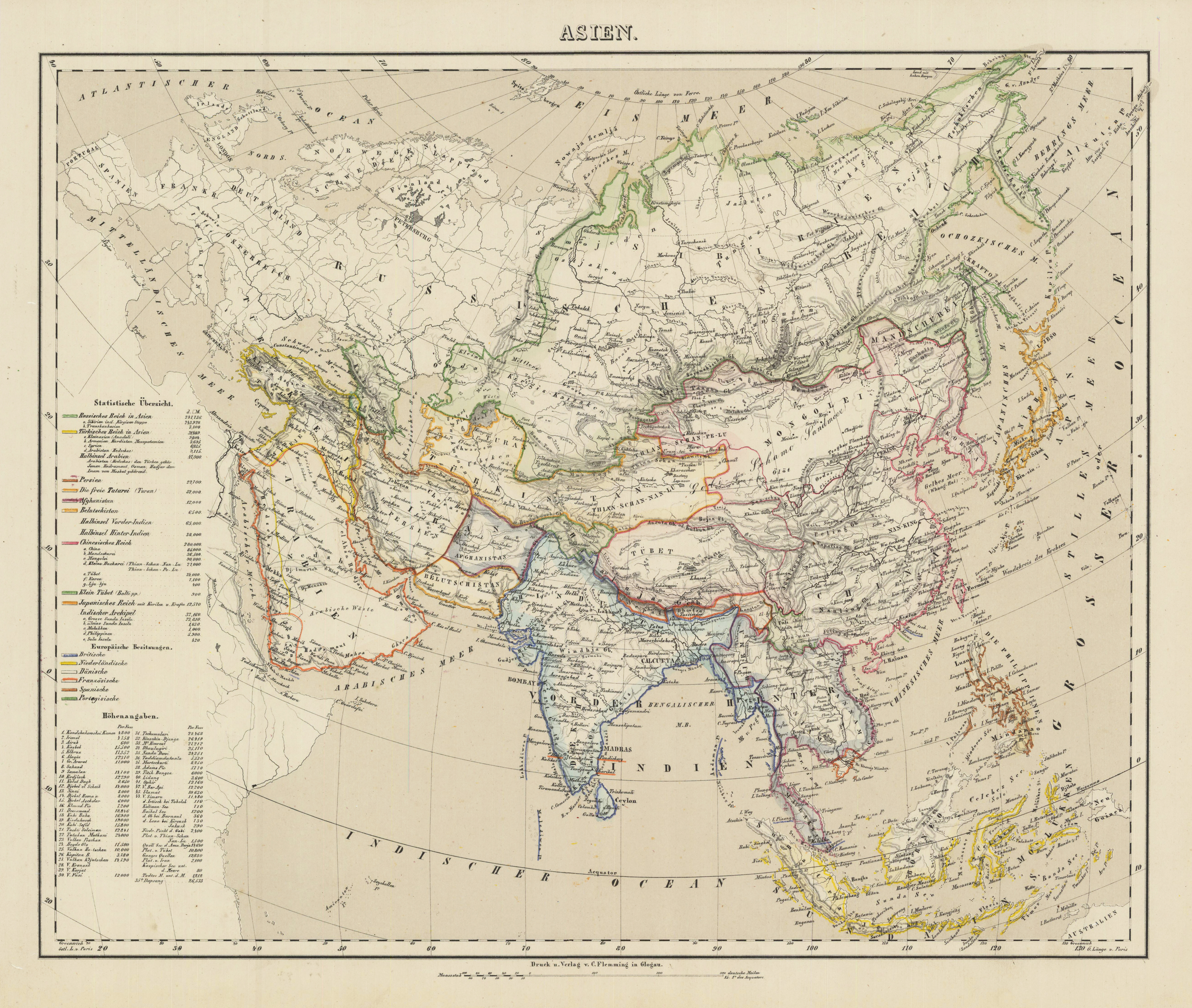
Steel engraving, hand colored in outline when published. This highly decorative map shows Asia. In the upper left corner we see the title with an ? (Höhenangaben?) The map is equipped with many small place names, rivers, mountains, many sea, etc.
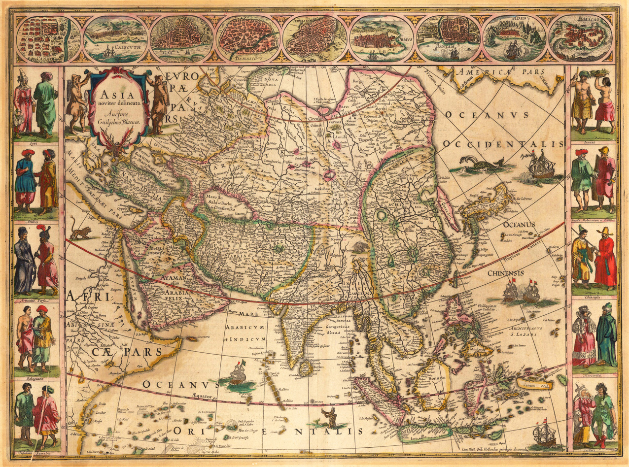
Copper engraving, hand colored in wash and outline when published. Verso with French text published 1638 in G. Blaeu´s „Theatrum". Guiljelmus Blaeu´s highly decorative map of Asia ornated with three borders of nine town views of Asian capitals (Candy, Calecuth, Goa, Damasco, Jerusalem, Ormus, Bantam, Aden, Macao) and on both sides costumes of inhabitants of ten countries of Asia. These are finely hand colored in wash. The Ocean is decorated with sailing ships, a sea monster and a scene of neptun. This map of Asia by Blaeu is one of the most famous and beautiful 17th century maps showing the entire Asian continent.
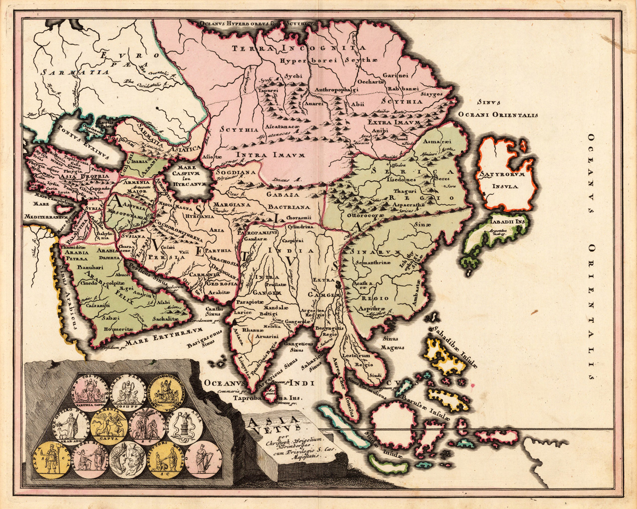
Copper engraving, original colored in outline and wash. This antique map shows the 'antique Asia'. Inside the map are many historical place names, rivers, mountains, etc. engraved. In the lower left corner we find the title cartouche decorated with twelve historical ancient coins.
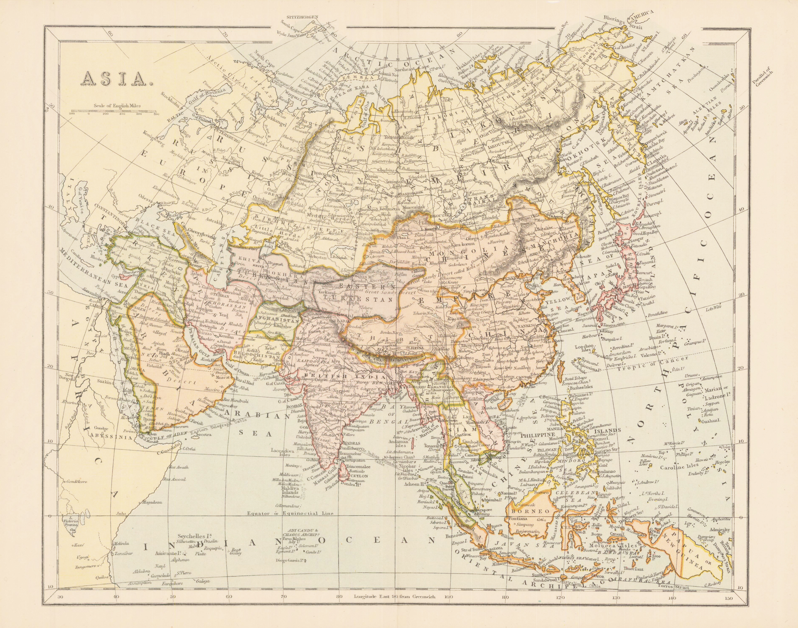
Original antique steel engraving, hand colored when published. Printed and published arround 1870 in ,The national Encyclopaedia a Dictionary of Universal Knowledge Vol IV'.
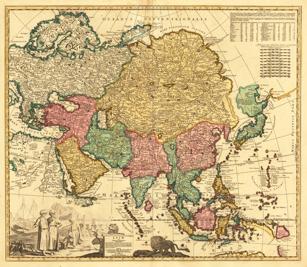
Copper engraving, hand colored in outline and wash when published. A decorative map of Asia by Petrus Schenk published around 1709 in Amsterdam. The highly decorative antique map was published by the famous Dutch cartographer and publisher Petrus Schenk in Amsterdam. Decorated with a fine engraved title cartouche together with allegoric scenes including wild animals of the Asia continent. The map extends towards the Arabian peninsula and covers as well the northern coast of Australia.
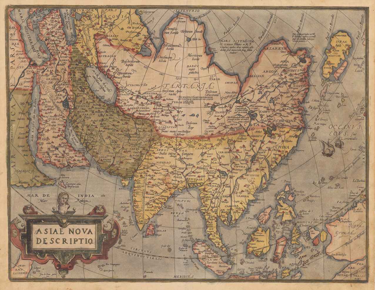
Original copper engraving, published 1598 in Antwerp in the atlas ,Theatrum Orbis Terrarum' by Abraham Ortelius. This is the second plate of Abraham Ortelius's 'Asiae Nova Descriptio', which was published from 1575 onwards towards 1612. From the first plate only approximately 1575 copies were printed. This is the 2nd plate of Ortelius's 'Asia Nova Descriptio'. It has the lower case 'farfana' and the town 'Ara' above 'Aden' has disappeared. Ortelius was born on 14 April 1527 in the city of Antwerp, which was then in the Habsburg Netherlands (modern-day Belgium). The Orthellius family were originally from Augsburg, a Free imperial city of the Holy Roman Empire. In 1535, the family had fallen under suspicion of Protestantism. Following the death of Ortelius's father, his uncle Jacobus van Meteren returned from religious exile in England to take care of Ortelius. Abraham remained close to his cousin Emanuel van Meteren, who would later move to London. In 1575 he was appointed geographer to the king of Spain, Philip II, on the recommendation of Arias Montanus, who vouched for his orthodoxy. He travelled extensively in Europe and is specifically known to have traveled throughout the Seventeen Provinces; in southern, western, northern, and eastern Germany (e.g., 1560, 1575–1576); France (1559–1560); England and Ireland (1576); and Italy (1578, and perhaps twice or thrice between 1550 and 1558). Beginning as a map-engraver, in 1547 he entered the Antwerp Guild of Saint Luke as an illuminator of maps. He supplemented his income trading in books, prints, and maps, and his journeys included yearly visits to the Frankfurt book and print fair, where he met Gerardus Mercator in 1554. In 1560, however, when travelling with Mercator to Trier, Lorraine, and Poitiers, he seems to have been attracted, largely by Mercator's influence, towards the career of a scientific geographer. (Wikipedia)
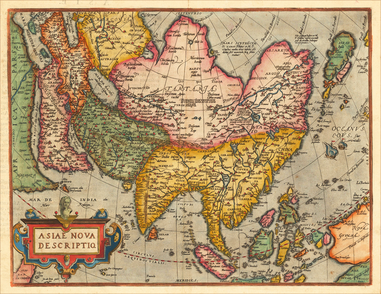
Original copper engraving, oldcolored, published 1582 in Antwerpen in the atlas "Theatrum Orbis Terrarum". This is the 2nd plate of Ortelius's 'Asia Nova Descriptio'. It has the lower case 'Farfana' and the town 'Ara' has disapeared. The map is finely hand-colored in wash and outline, when published. A colored title cartouche is in the lower left corner. Villages and towns are shown as miniature views, moreover the map is ornated with sea monsters. A highly decorative 16th century map of Asia. Ortelius was born on 14 April 1527 in the city of Antwerp, which was then in the Habsburg Netherlands (modern-day Belgium). The Orthellius family were originally from Augsburg, a Free imperial city of the Holy Roman Empire. In 1535, the family had fallen under suspicion of Protestantism. Following the death of Ortelius's father, his uncle Jacobus van Meteren returned from religious exile in England to take care of Ortelius. Abraham remained close to his cousin Emanuel van Meteren, who would later move to London. In 1575 he was appointed geographer to the king of Spain, Philip II, on the recommendation of Arias Montanus, who vouched for his orthodoxy. He travelled extensively in Europe and is specifically known to have traveled throughout the Seventeen Provinces; in southern, western, northern, and eastern Germany (e.g., 1560, 1575–1576); France (1559–1560); England and Ireland (1576); and Italy (1578, and perhaps twice or thrice between 1550 and 1558). Beginning as a map-engraver, in 1547 he entered the Antwerp Guild of Saint Luke as an illuminator of maps. He supplemented his income trading in books, prints, and maps, and his journeys included yearly visits to the Frankfurt book and print fair, where he met Gerardus Mercator in 1554. In 1560, however, when travelling with Mercator to Trier, Lorraine, and Poitiers, he seems to have been attracted, largely by Mercator's influence, towards the career of a scientific geographer. (Wikipedia)
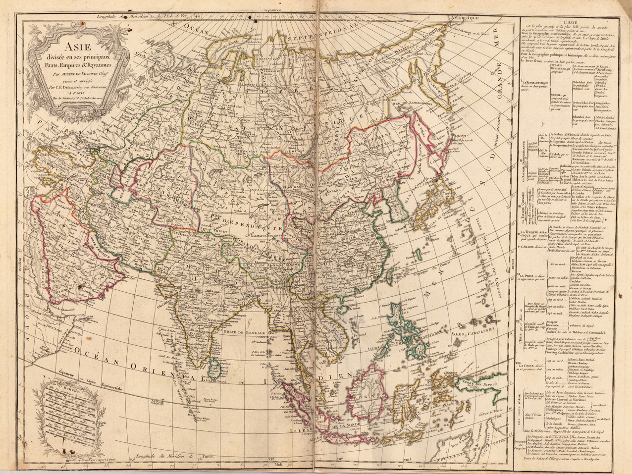
Original antique copper engraving, hand colored in outline when published. Detailed map of Asia, with a table on the right side, providing information about the various major countries and regions.
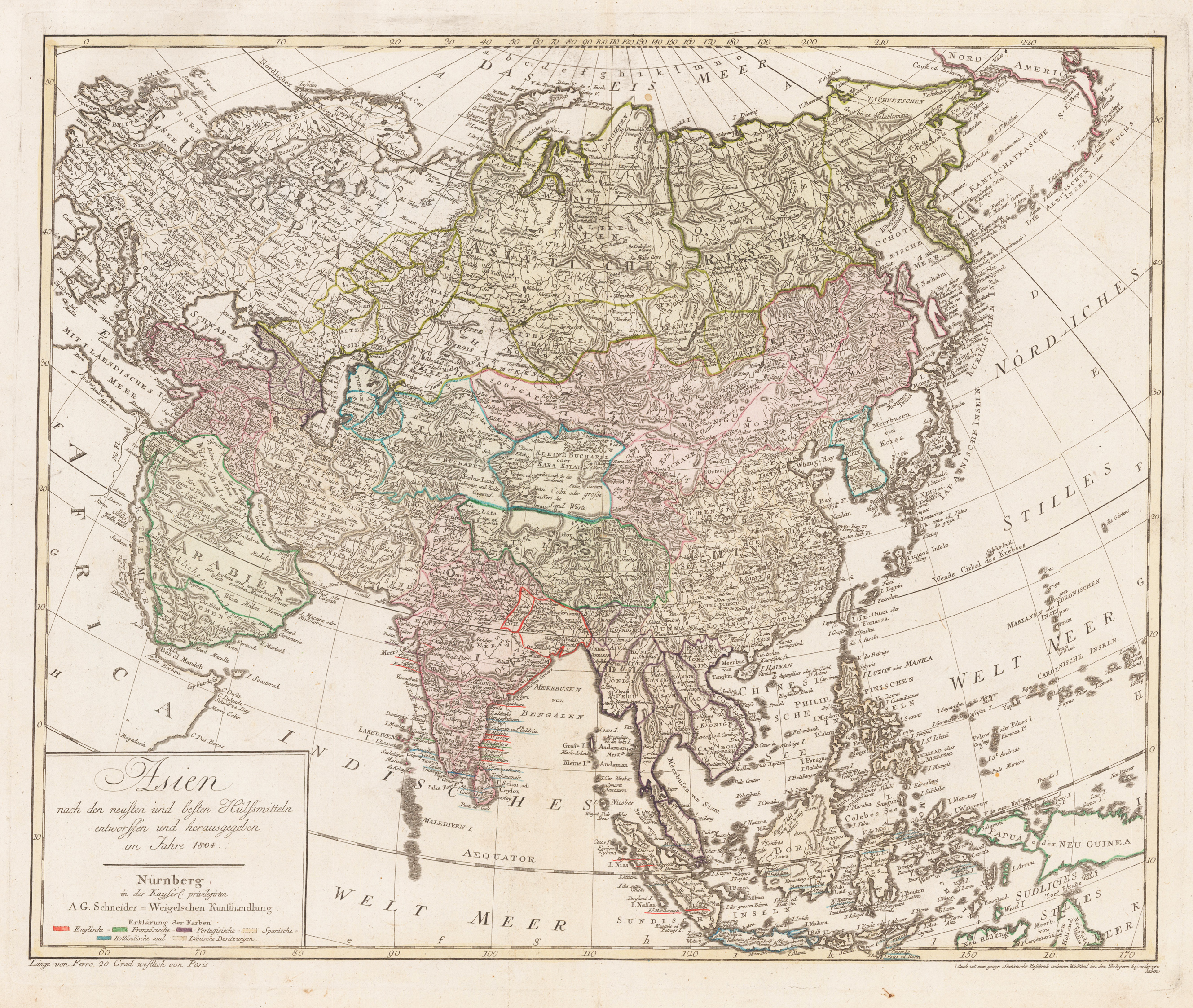
Original antique copper engraving, hand colored in outline and wash when published. A large and detailled map of Asia published 1804 in Germany by Adam Gottlieb Schneider. The map is detailled on place names, rivers, mountains, as well showing many regions with their original place names. In the title cartouche in the lower left corner with a table of color explanations for the English, French, Portugese, Spanish, Dutch and Danish possessions in 1804. Schneider, Adam Gottlieb (1745 - 1815), who was a German bookseller and map publisher, founded the publishing house "Schneider und Weigel" in 1780 through his marriage to Maria Johanna Stellwag (heiress to the Weigel art dealer), which continued to exist even after his death in 1815. Overall an excellent example of this large and interesting map, verso inscribed in ink,ASIEN'. Published in a German composit atlas.
Original antique copper engraving, uncolored as published. A map of Western Tartary, covering present-day Northern China and Mongolia. The site of Genghis Khan's ancient Mongol capital of Karakum is centrally marked on the map, and Peking.
Copper engraving colored in outline as published.
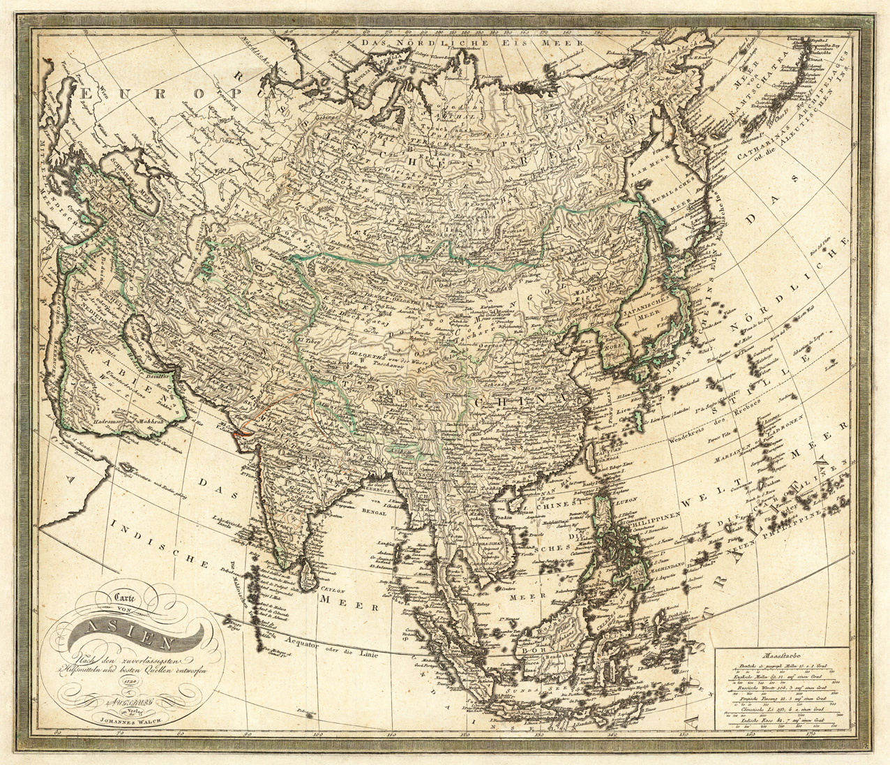
Johann Walch (born November 25, 1757 in Kempten (Allgäu); † March 23, 1815 in Augsburg) was a German painter, engraver, cartographer and publisher. Johann Walch was the son of the merchant and amateur painter and engraver Sebastian Walch (1721–1788) and his wife Katharina Zorn, daughter of the butcher Martin Zorn. He received training as a miniature painter in Augsburg, Geneva and three years at the Vienna Art Academy. This was followed by a two-year trip to Italy. Before 1785 he settled in Augsburg, where on January 16, 1786 he married Anna Regina Will (* November 28, 1759 - † July 15, 1837), eldest daughter of the Augsburg-based engraver and publisher Johann Martin Will, and worked in the publishing house his father-in-law worked with him. As a result, the publisher increasingly turned to map production. In 1789, the material of the map publishers Matthäus Seutter and Tobias Conrad Lotter was acquired from the inheritance of Gustav Conrad Lotter (1746–1776), almost 25,000 individual map sheets and 208 copper plates. After Will's death in 1806, he inherited the Willsche Verlag, which he expanded into an important map publisher ("Joh. Walch'sche Maps Plot"). This resulted in the Joh. Walch printing company named after him. His son Johann Sebastian Walch (1787-1840) continued the publishing house, his daughter Regina (* December 18, 1800 - † December 23, 1865) married the pastor Friedrich Krauß (1798-1839). (Wikipedia)
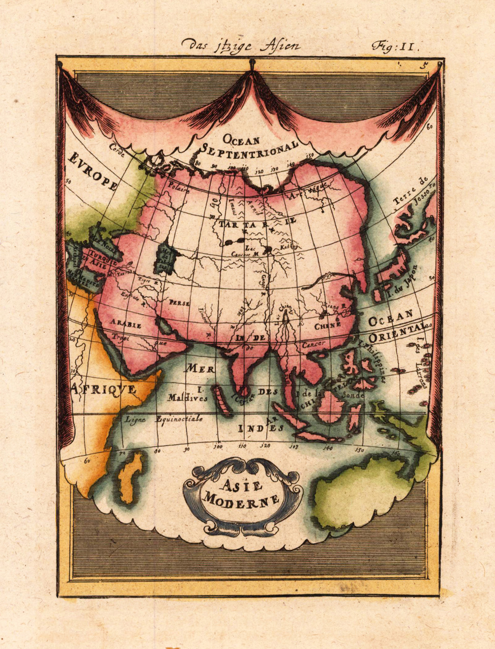
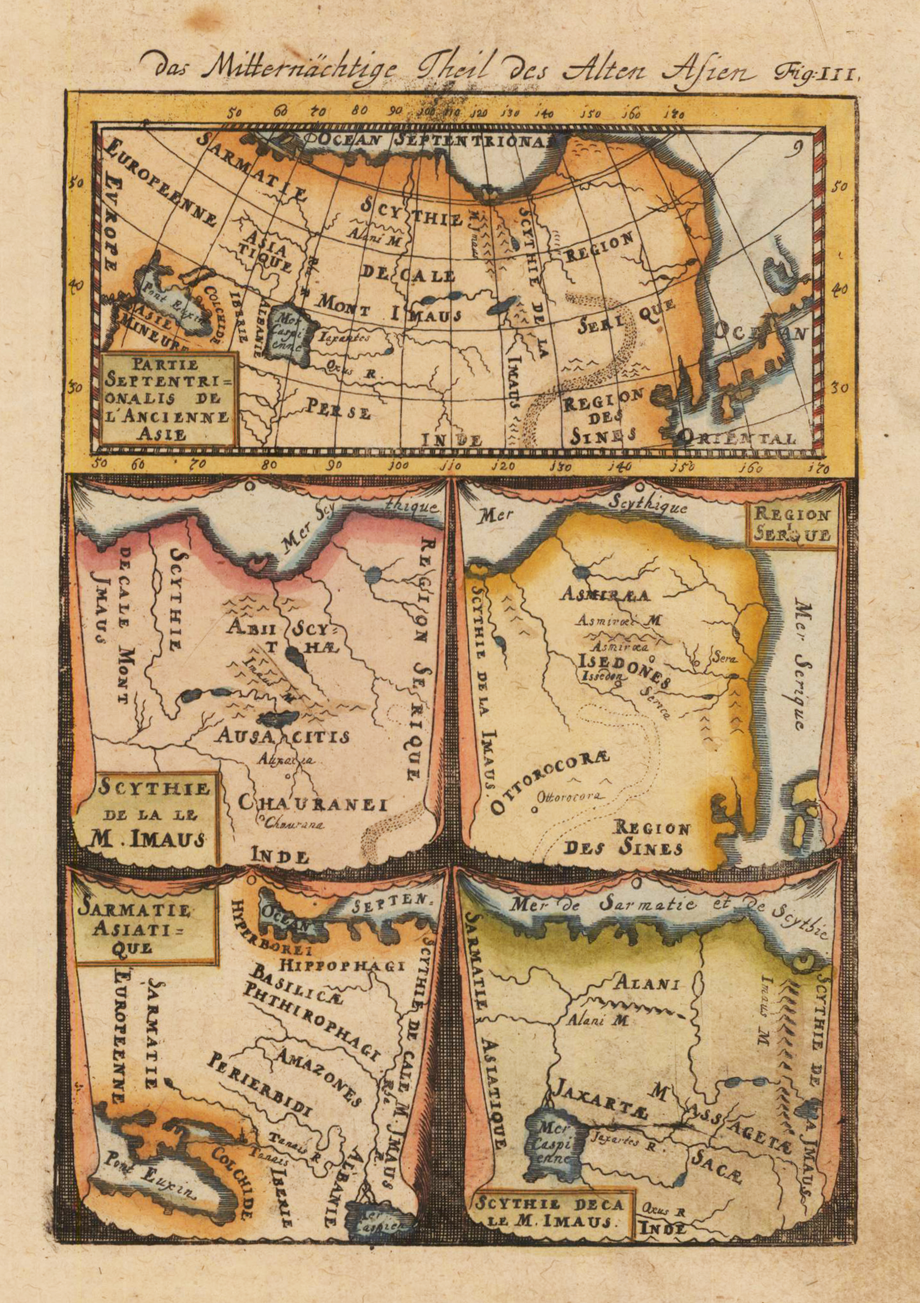
Copper engraving, hand colored in wash and outline, published in Allain Manesson Mallet's description of the world. This antique map shows us the northern parts part of 'Ancient Asia'.
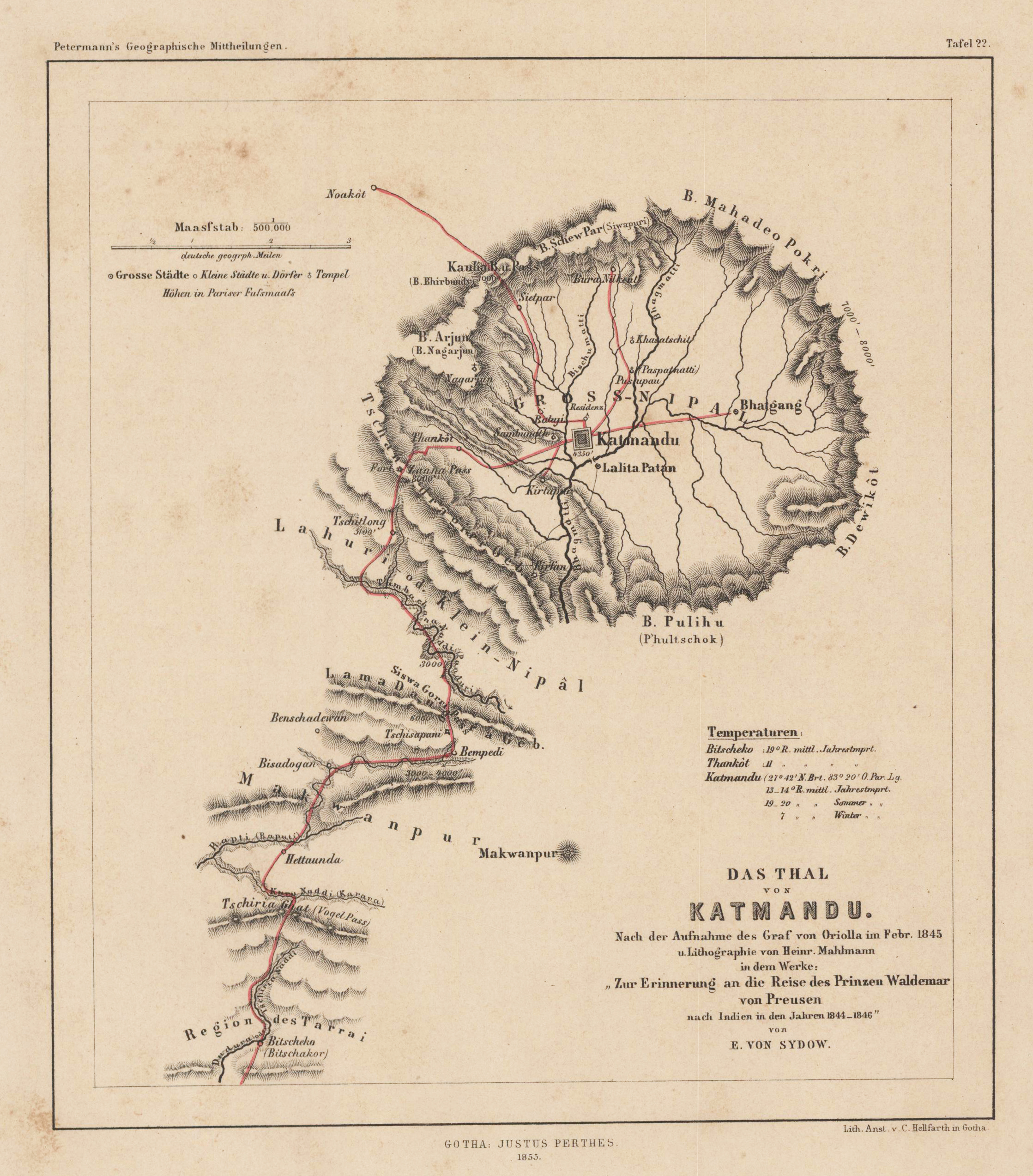
Lithograph, original hand colored in outline and wash. August Heinrich Petermann (April 18, 1822 in Bleicherode – September 25, 1878 in Gotha) was a German geographer and cartographer. He is considered one of the most important representatives of these sciences of the 19th century. Born in the center of Bleicherode as the son of an actuary, he went to high school in Nordhausen at the age of 14 and dealt with geography and drawing maps from an early age. In 1839 he entered Heinrich Berghaus' art school in Potsdam to receive scientific and technical training in cartography. In 1845 he moved to Edinburgh and in 1847 to London. In 1854 he moved from London to Gotha in Thuringia, which had an excellent scientific reputation since the work of the astronomer and geodesist Franz Xaver von Zach. A year later he founded Petermanns Geographical Communications, an important German-language journal for geography. (Wikipedia)
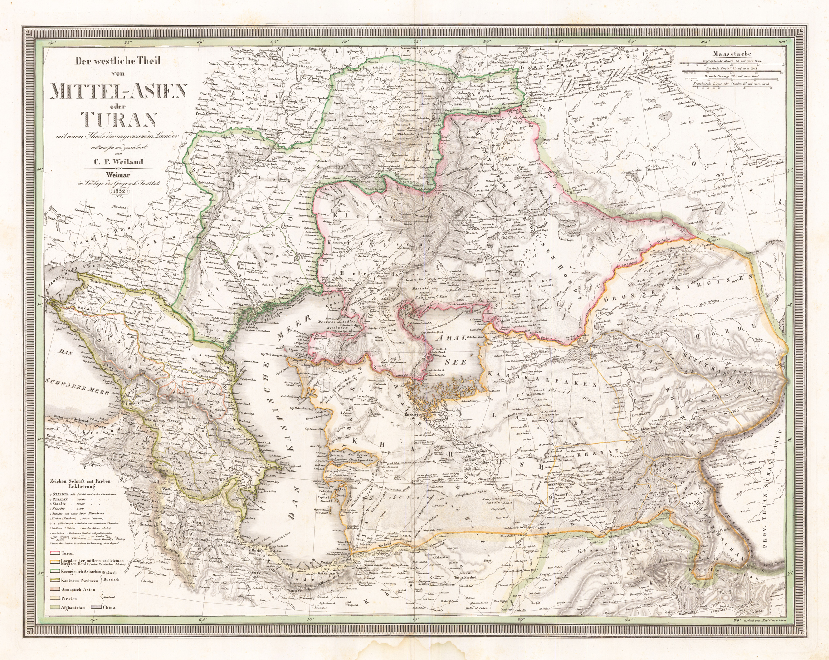
Original antique copper engraving, hand colored in outline when published. A detailed and interesting map by the German mapmaker Carl Ferdinand Weiland depicting the Middle East and the surrounding. Lower left side with the engraved explanations for the map on cities, towns, villages, castles, fortresses, lighthouses, streets, channels, etc. In the upper right corner a mileage scale for Russian, Persian and French miles. The cartoushe is engraved in the upper left corner. Carl Ferdinand Weiland (* 1782; † May 18, 1847 in Gera) was a German cartographer and Württemberg captain. Weiland worked at the geographical institute in Weimar and succeeded Friedrich Wilhelm Streit in 1817. Weiland's successor was the Berlin cartographer and geographer Heinrich Johann Samuel Kiepert in 1845. Works - General hand atlas of all over the world designed according to the best astronomical provisions, latest discoveries and critical investigations and sent to A.C. Gaspari's complete manuals of the latest earth description determined (1824) - Atlas con America (1824-1828) - Hand atlas (1828/29) - Europe map composed of 4 sheets (1844) - General hand atlas of all over the world. designed according to the latest discoveries (1846) - Carl Ferdinand Weiland, Heinrich Kiepert: The Austral-Continent or New Holland: designed after Krusenstern, King, Flinders, Freycinet, Oxley, Sturt, Mitchell in Mercators Projection (1848) (Wikipedia)
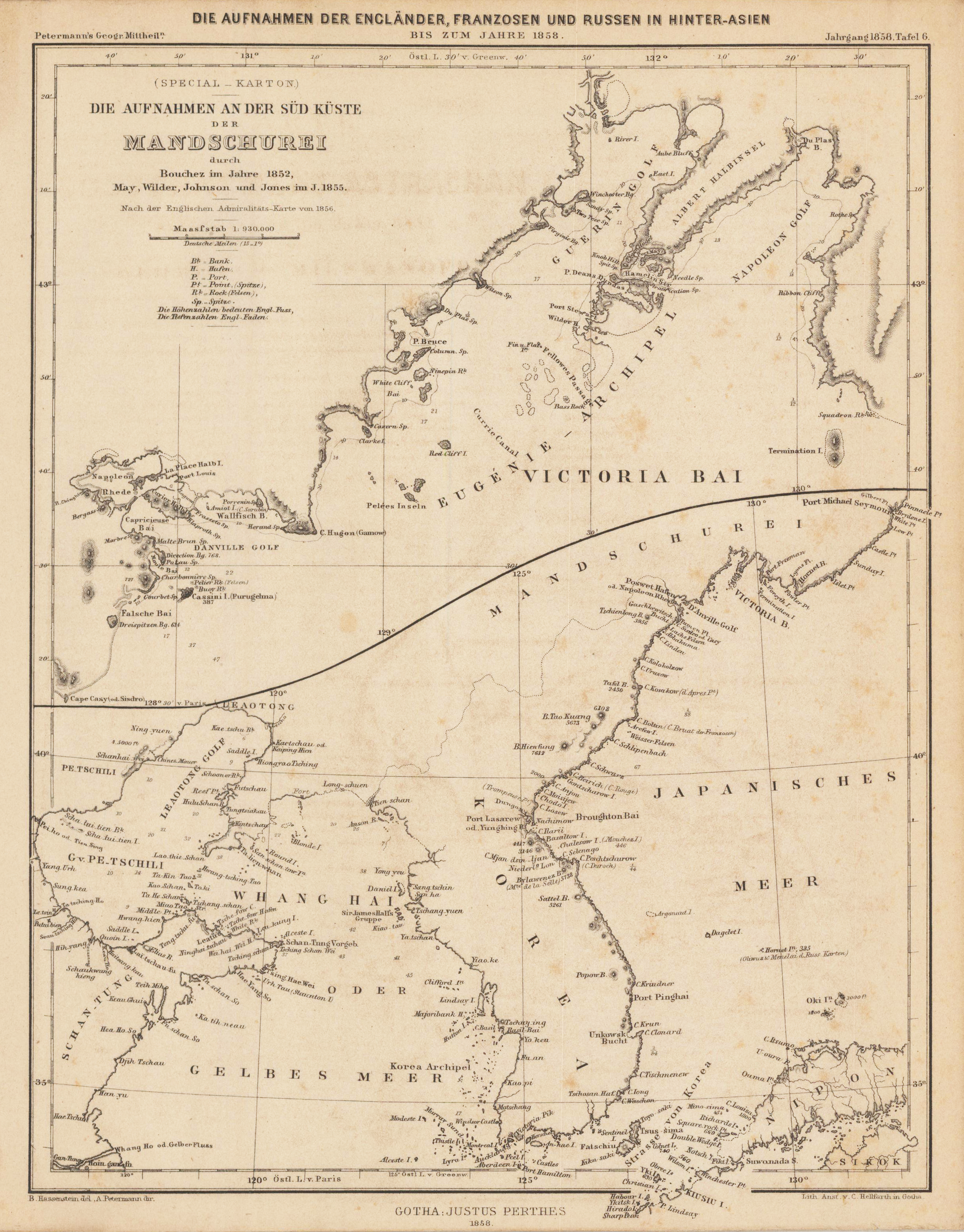
Original antique lithograph, hand colored in outline and wash. August Heinrich Petermann (April 18, 1822 in Bleicherode – September 25, 1878 in Gotha) was a German geographer and cartographer. He is considered one of the most important representatives of these sciences of the 19th century. Born in the center of Bleicherode as the son of an actuary, he went to high school in Nordhausen at the age of 14 and dealt with geography and drawing maps from an early age. In 1839 he entered Heinrich Berghaus' art school in Potsdam to receive scientific and technical training in cartography. In 1845 he moved to Edinburgh and in 1847 to London. In 1854 he moved from London to Gotha in Thuringia, which had an excellent scientific reputation since the work of the astronomer and geodesist Franz Xaver von Zach. A year later he founded Petermanns Geographical Communications, an important German-language journal for geography. (Wikipedia)
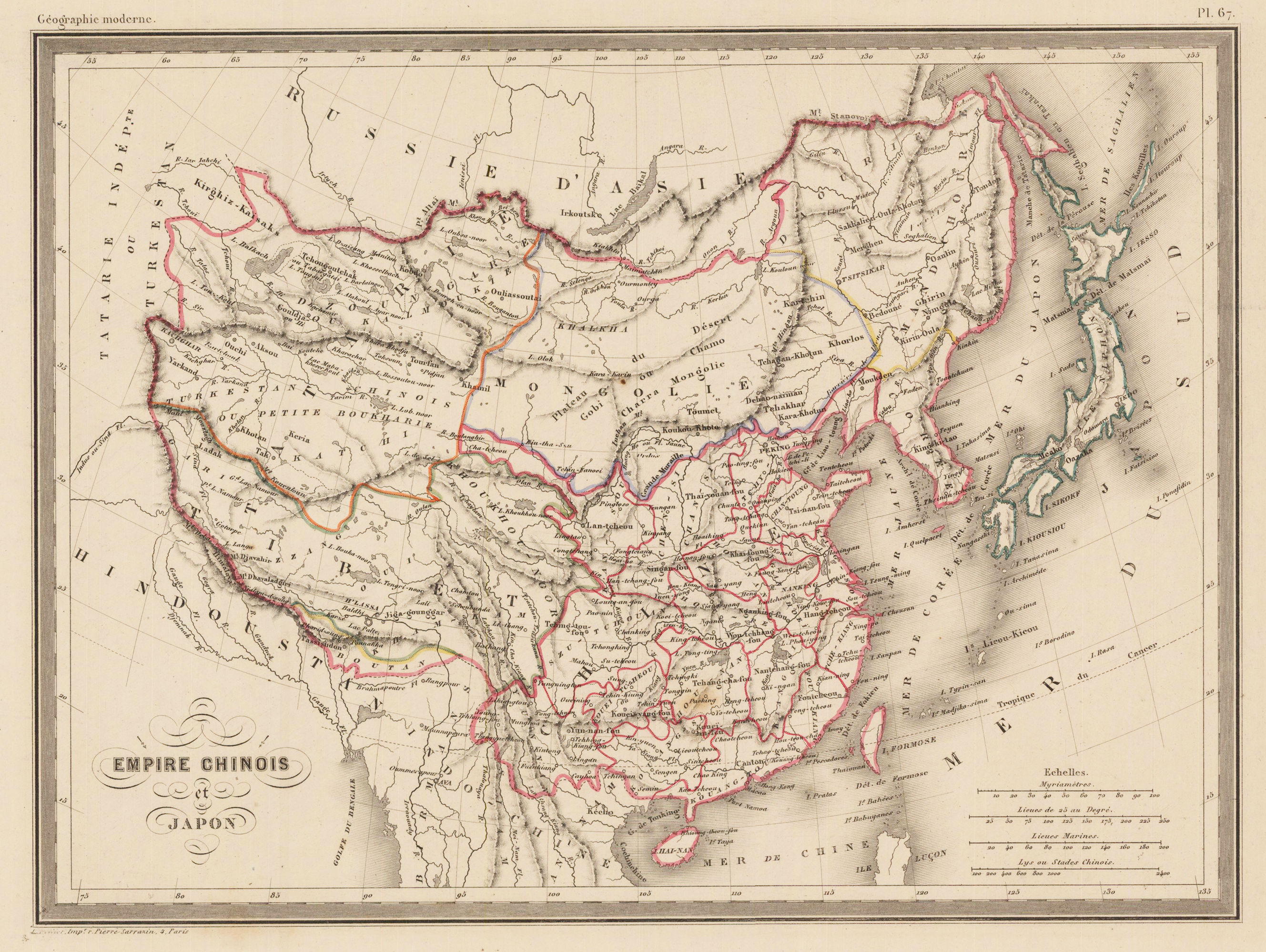
Original copper engraving, hand colored in outline when published. Published in ,Atlas de la Geographie Universelle'. This old map of China and Japan is a fine piece of history from the mid 1800's.
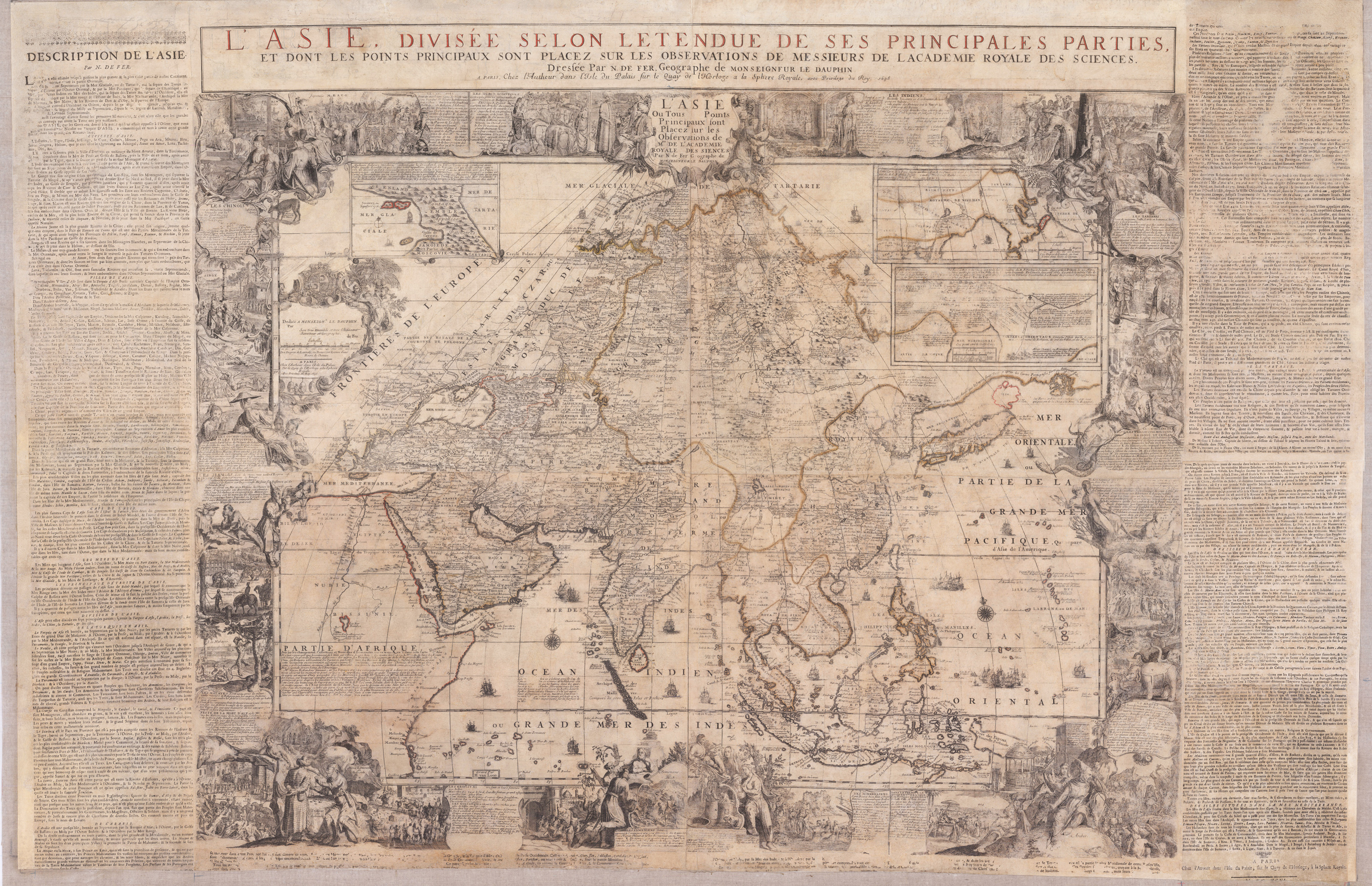
Original antique copper engraving, hand colored in outline when published. Carefully restored and mounted on linen. This gigant wall map was first published in 1696. Present is here the edition from 1698, the actual map was printed from 4 plates. Additional plates were used for the title text on top of the map and other plates for the printed letter press text around the actual engraved map. This large wall map of Asia is equipped with a decorative title cartouche "L Asie Ou Tous les Points Principaux sont Placez sur les Observations des Mrs. De l Academie Royale des Sciences." The cartouche to the left dedicates the map to Louis of France, Le Grand Dauphin. It is further equipped with lots of decorations, allegorical scenes with inhabitants and animals, plants and memorable landscapes of the various countries in the Asian continent. With these decorative allegoric scenes the cartographer wanted to provide to the viewer of the map information about the culture and the people of these so foreign countries in the world. At the top three inset maps were included: Nova Zembla and the Arctic around Spitzbergen, Tartary and a part of China based on the travels of the Jesuits M. Martini and F. Verbiest in China. The map also nicely depicts India, Sumatra, Indonesia, Thailand, the Phillipines and of course it also gives information on the relativly unexplored Pacific Ocean towards the Larron or Marrian Islands; close to the Moluccos Islands it names,Terre de Papous' and,Nouvelle Zeelande' close together. Also the Phillipines are quite well shown, Manila is named on the map. Of course we find in all parts of the sea compass roses and all sorts of sailing ships, some them with firing canons. Overall large wall maps were mostly used and therefore mounted on linen to display them in a comfortable way. The disadvantage was, that mostly these wall maps have suffered, because they were used too much and moved all the time. Therefore, the overall condition of these oversized maps is usually relatively poor and accompanied by massive signs of wear. Our paper restorer was able to detach the actual map from its old cloth with a lot of work and time and has put it then back on new acid-free cloth. The map also featured older wooden hanging poles, these were reused. Parts of the text have been partially reproduced or supplemented as far as possible. All in all, a wall map was created for further generations, which will now survive today's viewer by many years. Nicolas de Fer (1646 – 25 October 1720) was a French cartographer and geographer. He also was an engraver and publisher. His works focused more on quantity than quality, there were often geographical errors, and they were more artistic than accurate. De Fer was the youngest of three sons of Antoine de Fer, who was also a cartographer. When he was 12, he became the apprentice of Parisian engraver Louis Spirinx, and made his first map, of the Canal du Midi, at the age of 23. After the death of his father in June 1673, his mother Geneviève initially took over the map making company, which had begun to decline. She passed it and the atelier, called Quai de L'Horloge, on to Nicolas in 1687 because of her old age. De Fer was so successful at improving the firm that, in 1690, he became the official geographer to Louis, Dauphin of France. With support from the Spanish and French royal families, de Fer also became official geographer for Philip V and Louis XIV, the kings of Spain and France, respectively.[3][5] Because of this, his maps became Bourbon propaganda, endorsing French King Louis XIV. His business flourished, producing town plans, atlases, wall maps, and more than 600 sheet maps. He made maps of places in Europe and North America, including New Spain,places fortified by Vauban,the Low Countries, and the War of the Spanish Succession. In 1698, de Fer published a map of North America, which included a depiction of beavers building dams near Niagara Falls. Seventeen years later, Herman Moll published a map which plagiarized elements of de Fer's work, particularly the beaver scene. It became known as the "Beaver map". De Fer became the official geographer for The King of Spain in 1720. Two of his sons-in-law, Guillaume Danet and Jaques-François Bénard, continued the company after de Fer's death on 25 October of that year until around 1760 (Wikipedia).