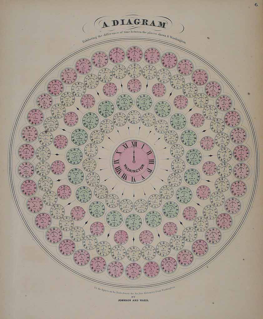
Lithograph, original color in outline and wash. A diagram of a clock showing the time differences between places all over the world and the time in Washington, DC. Each of the clocks with the name of the town, the country and te elevation.
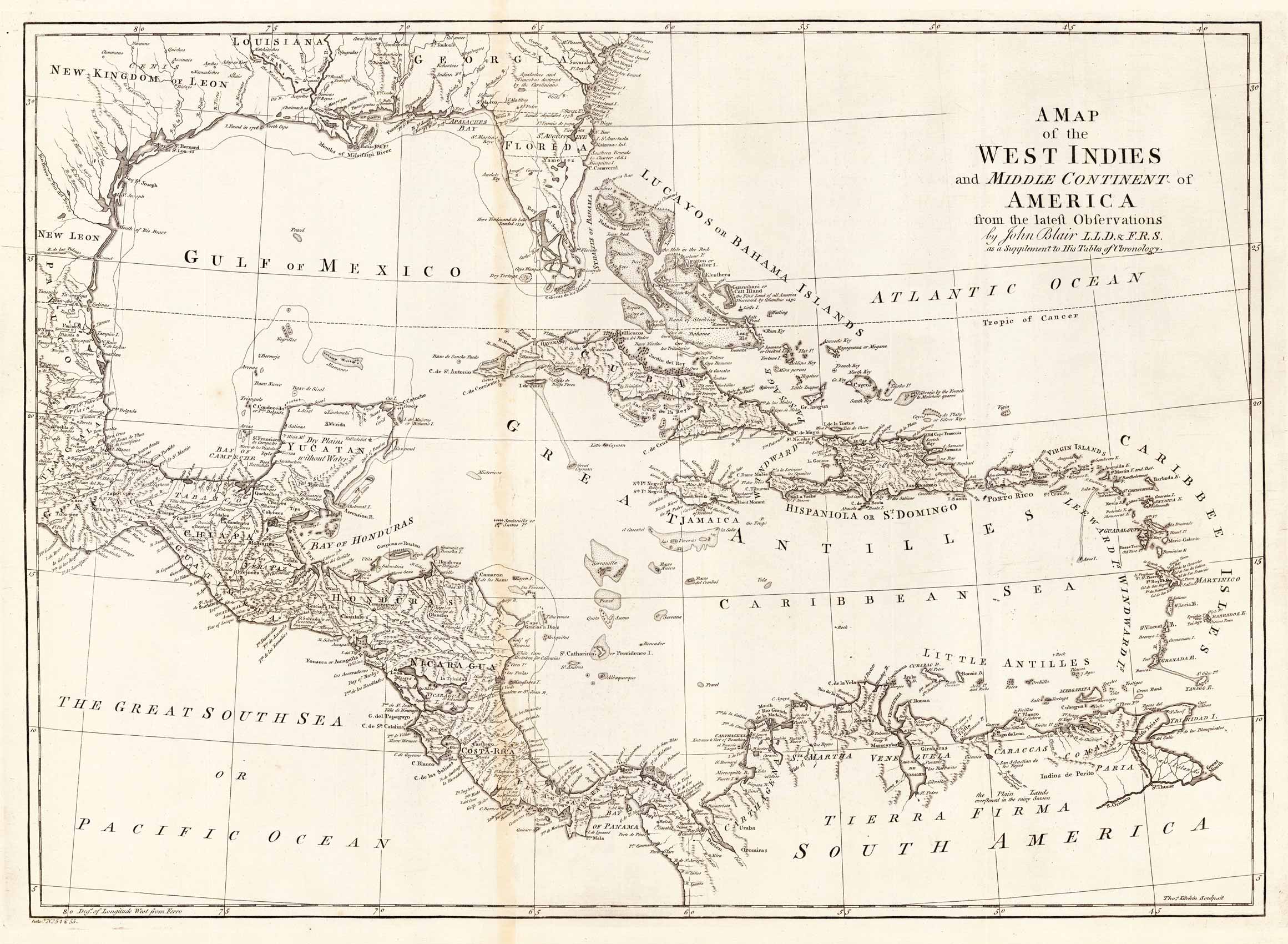
Copper engraving, uncolored, engraved by Thomas Kitchin. The map shows the West Indies, Florida, the Southern United States, the Golf of Mexico and Central America.
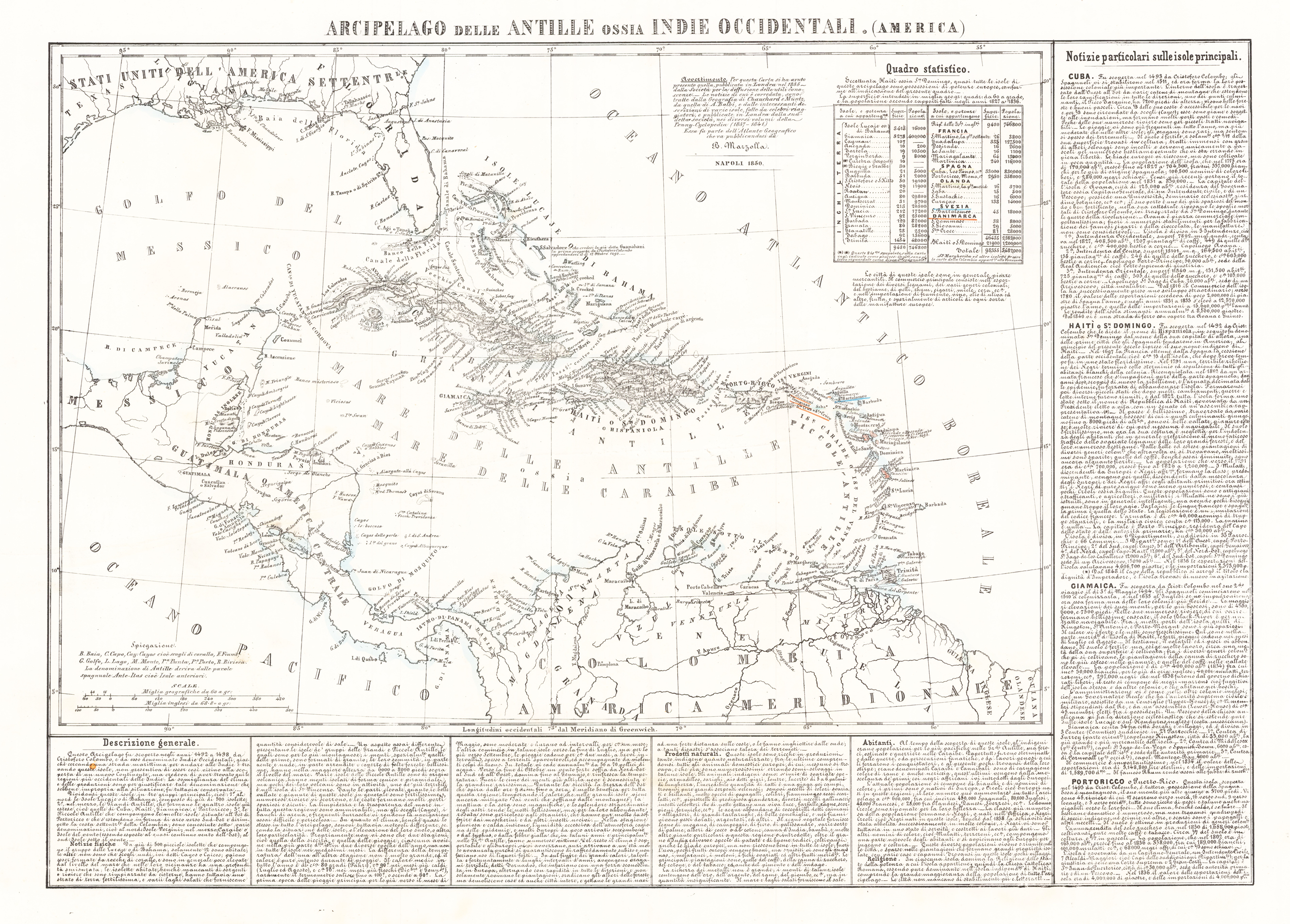
Lithograph, hand colored in outline when published. Geographical map from the "Geographical Atlas with Information on Physical and Political Geography..." published in Naples in 1854. Benedetto Marzolla is famous for being one of the most important cartographers of the 19th century as he was the one who printed geographical maps with high quality lithographs. His Atlante Geografico, consisting of 58 maps, presents finely sketched works. Six maps show North America, including the famous map of the gold diggers in California by Hippolite Ferry. Also extremely relevant are the maps of Antarctica, South Africa with the Cape Town plan and those of Australia. Although the maps are dated between 1843 and 1856, this 1858 edition, printed in Naples in the Stabilimento Geografico Strada San Carlo (founded by Marzolla himself), represents the last version of his atlas, the last before his death. A posthumous edition will appear in 1865. The atlas is quite rare, not actually listed at Phillips, British Library and OCLC. Valerio, Benedetto Marzolla Brindisino, 19th century European geographer and cartographer.
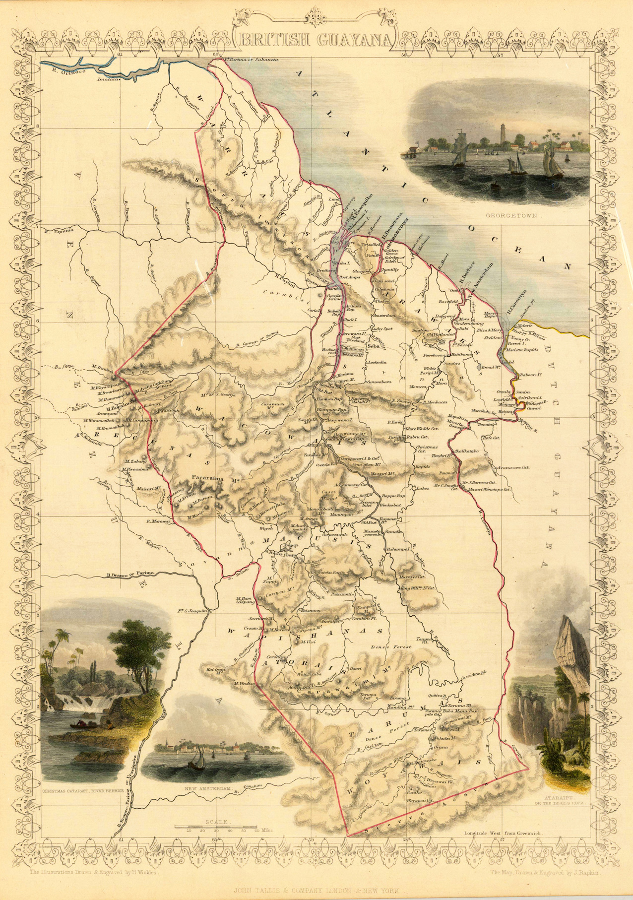
Steel engraving, hand colored in outline and wash. A decorative antique map of British Guayana with many details. We do find engraved place names, rivers, lakes and mountains. The map is decorated with four finely hand colored engraved vignettes: of the river Berbice, Ataraipu or the Devil's Rock and Georgetown. The actual map was drawn and engraved by J. Rapkin. The illustrations were engraved by various artists: R. Radclyffe, W. Lacy, J. Rogers, J. H. Kernot, J. B. Allen, T. Fleming, H. Winkles, R. Baker after drawings by H. Warren, H. Winkles and H. Wray.
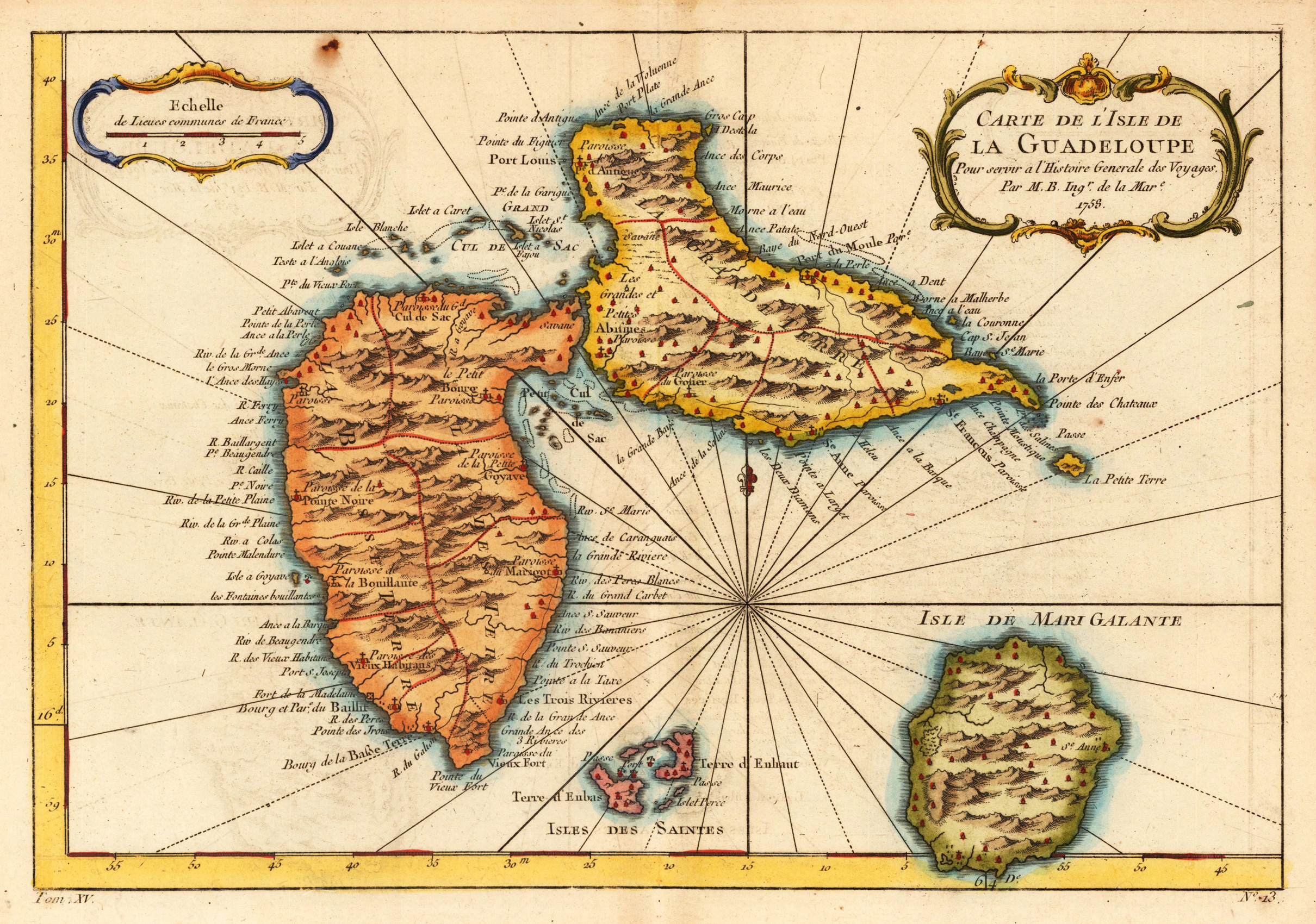
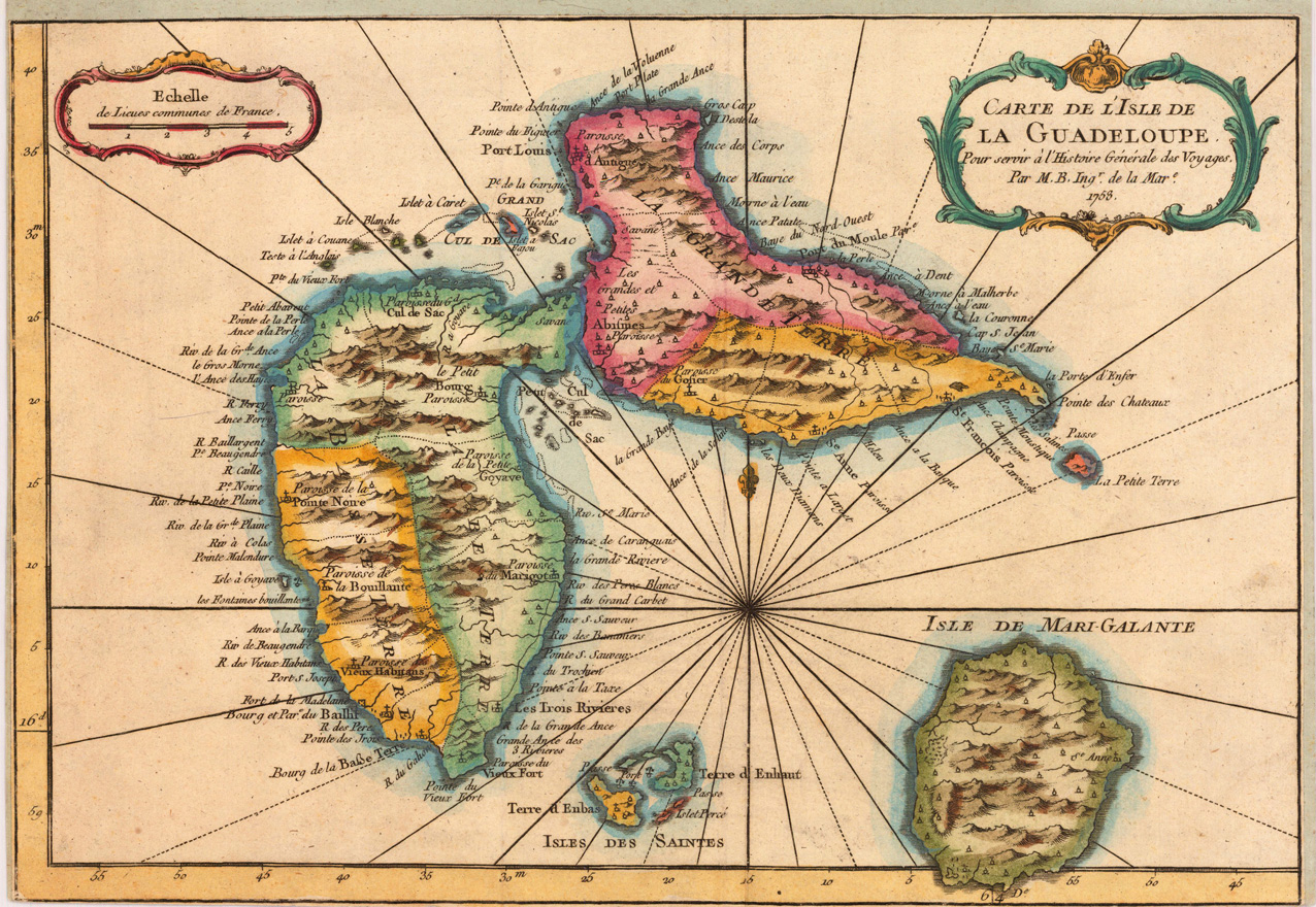
Copper engraving, hand colored in outline and wash. A detailed map on the island of Guadelupe and Maria Galante. Many villages are named, a large number of the names of the bays around the island are engraved.
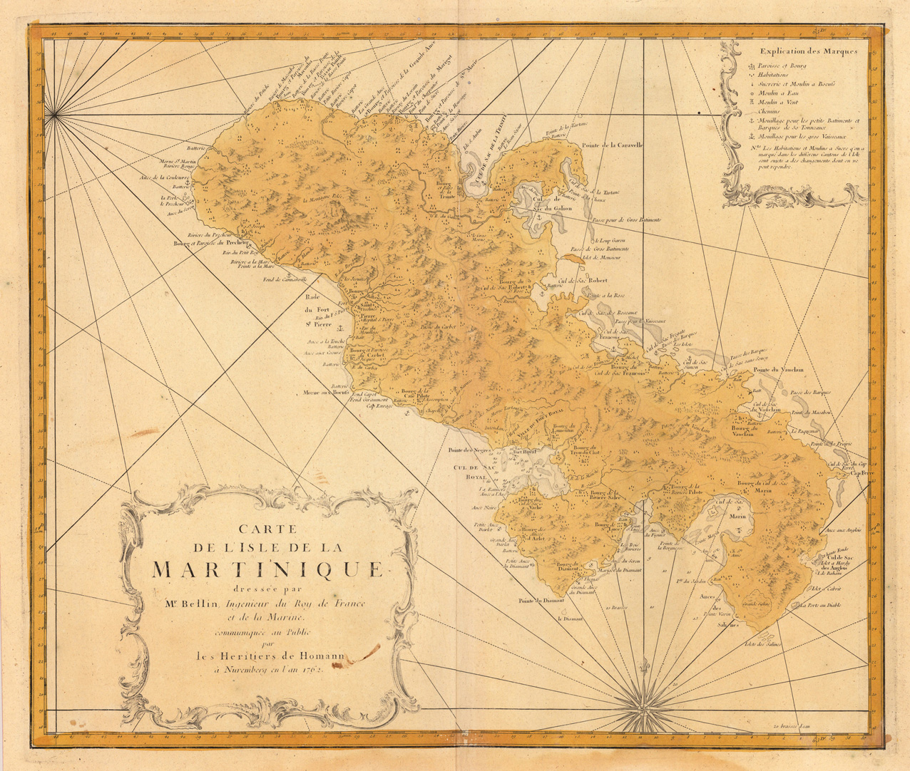
Original antique copper engraving, hand colored in outline and wash when published. In the lower left corner ornated with a decorative title cartouche, in the upper right corner we find a cartouche with explanations to the map. Published 1762 by Homanns Heirs after the cartographic scources of Bellin. A very detailled map in a large scale showing many villages and settlements, rivers, mountains, ports and streets as well. Johann Baptist Homann (20 March 1664 – 1 July 1724) was a German geographer and cartographer, who also made maps of the Americas. Homann was born in Oberkammlach near Kammlach in the Electorate of Bavaria. Although educated at a Jesuit school, and preparing for an ecclesiastical career, he eventually converted to Protestantism and from 1687 worked as a civil law notary in Nuremberg. He soon turned to engraving and cartography; in 1702 he founded his own publishing house. Homann acquired renown as a leading German cartographer, and in 1715 was appointed Imperial Geographer by Emperor Charles VI. Giving such privileges to individuals was an added right that the Holy Roman Emperor enjoyed. In the same year he was also named a member of the Prussian Academy of Sciences in Berlin. Of particular significance to cartography were the imperial printing privileges (Latin: privilegia impressoria). These protected for a time the authors in all scientific fields such as printers, copper engravers, map makers and publishers. They were also very important as a recommendation for potential customers. In 1716 Homann published his masterpiece Grosser Atlas ueber die ganze Welt (Grand Atlas of all the World). Numerous maps were drawn up in cooperation with the engraver Christoph Weigel the Elder, who also published Siebmachers Wappenbuch. Homann died in Nuremberg in 1724. He was succeeded by his son Johann Christoph (1703-1730). The company carried on upon his death as Homann heirs company, managed by Johann Michael Franz and Johann Georg Ebersberger. After subsequent changes in management the company folded in 1852.[1] The company was known as "Homann Erben", "Homanniani Heredes", or "Heritiers de Homann" abroad. (Wikipedia)
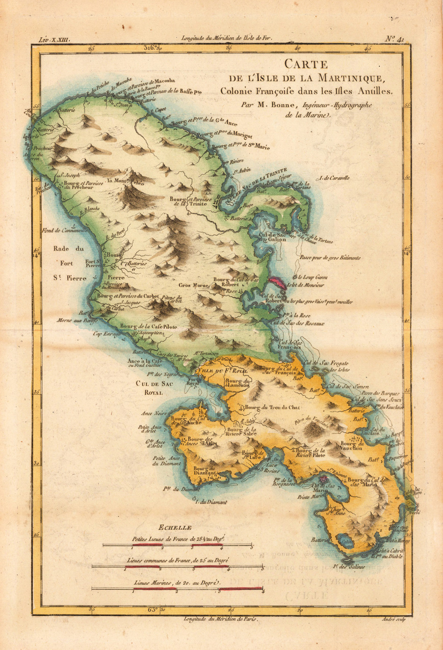
Copper engraving, hand colored in outline and wash. Detailed map showing the French colony 'Island of Martinique'. Rivers, small villages as well mountains are shown on the engraved map. Engraved by André. Rigobert Bonne (1727-1794) was a French cartographer of the late 18th century. He studied in Paris and practiced cartography. He became a skilled cartographer and hydrographer and became a royal hydrographer at the ,Depot de la Marine' in 1773. In 1780 he engraved and published the maps for Abbe Raynal's work ,Atlas de Toutes Les Parties Connues du Globe Terrestre'. He also published many charts for the ,Depot de la Marine', further he engraved the maps for the ,Atlas Encyclopedique' in 1788 together with Nicholas Desmarest.
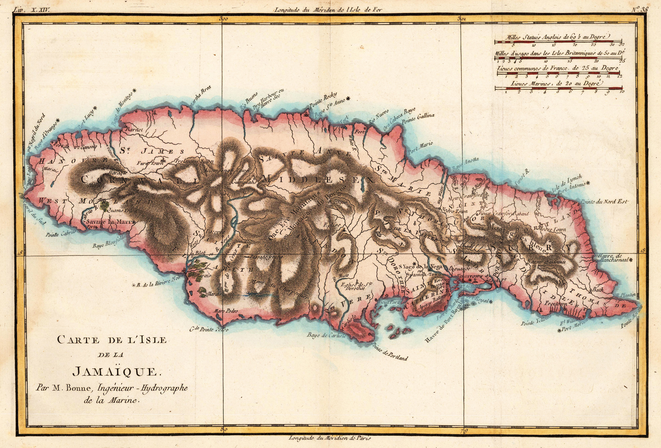
Copper engraving, hand colored in outline and wash. Rigobert Bonne (1727-1794) was a French cartographer of the late 18th century. He studied in Paris and practiced cartography. He became a skilled cartographer and hydrographer and became a royal hydrographer at the ,Depot de la Marine' in 1773. In 1780 he engraved and published the maps for Abbe Raynal's work ,Atlas de Toutes Les Parties Connues du Globe Terrestre'. He also published many charts for the ,Depot de la Marine', further he engraved the maps for the ,Atlas Encyclopedique' in 1788 together with Nicholas Desmarest.
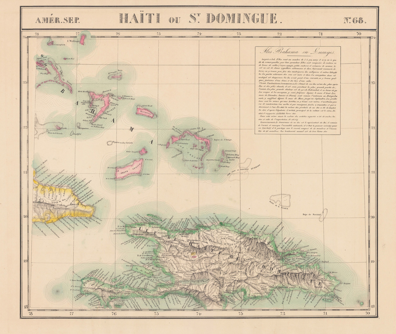
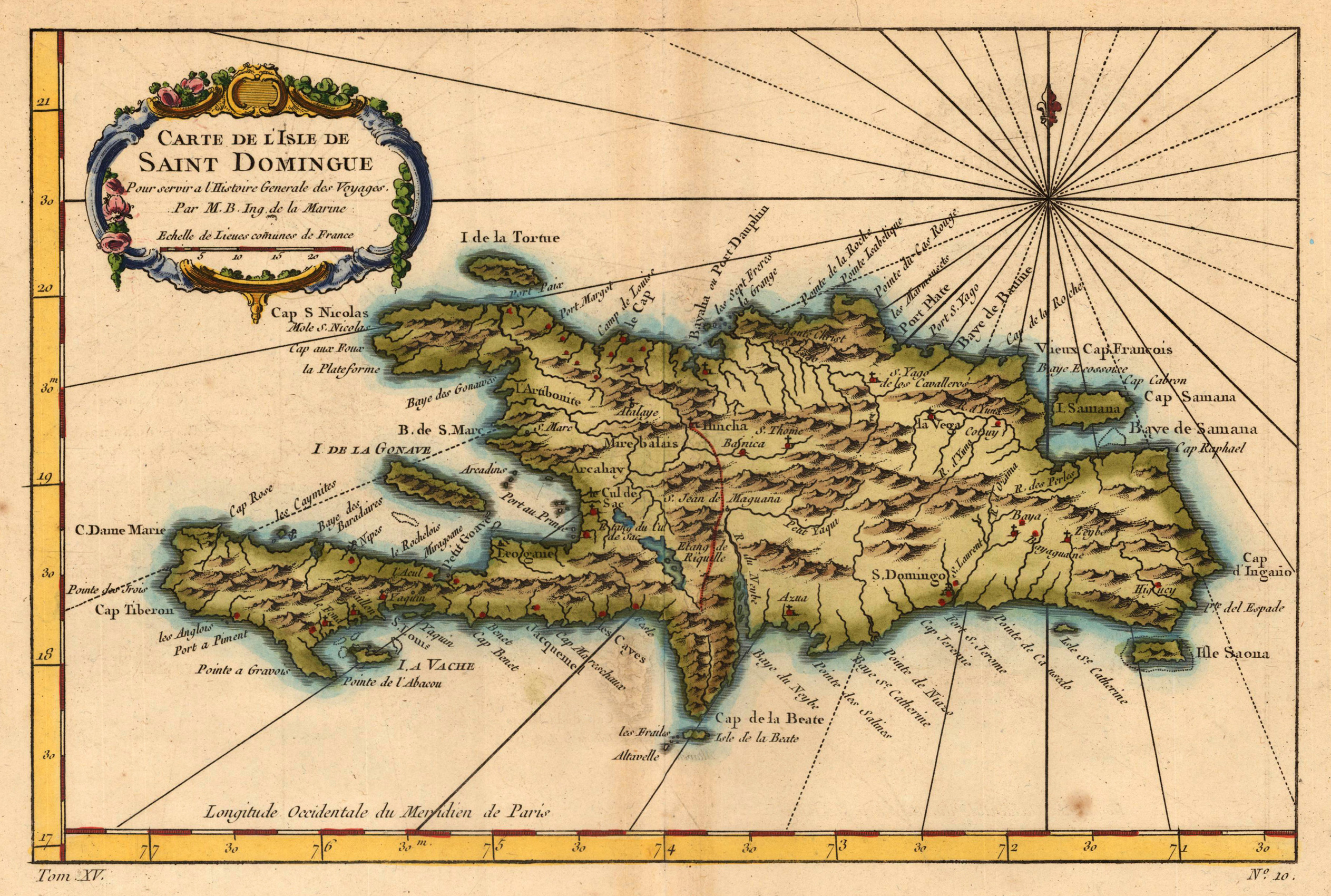
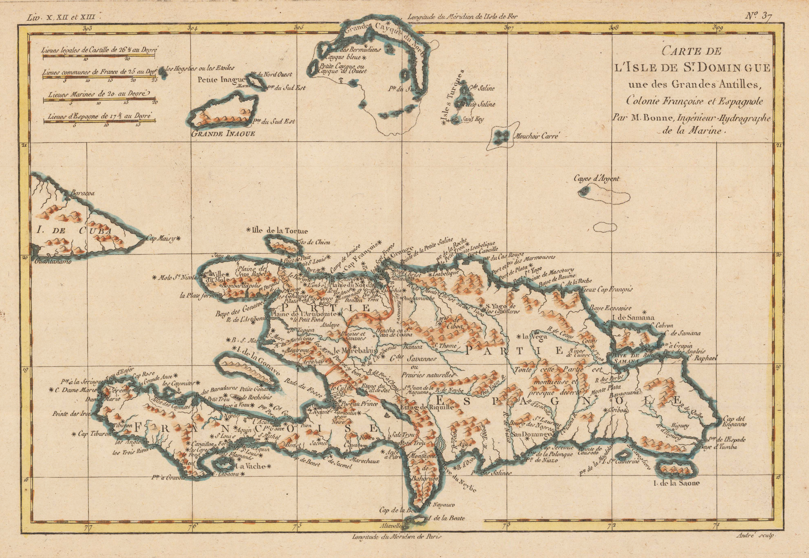
Copper engraving, hand colored in outline and wash. Detailed map of the island of Haiti (St. Domingue) part of the greater Antilles, engraved by André. nteresting double page map of Hispaniola & surrounding islands. North of St. Dominica with the Turkos and Caicos Islands and the easternmost island Mayaguana (district of the Bahamas). Rivers, small villages as well mountains are shown on the engraved map. Rigobert Bonne (1727-1794) was a French cartographer of the late 18th century. He studied in Paris and practiced cartography. He became a skilled cartographer and hydrographer and became a royal hydrographer at the,Depot de la Marine' in 1773. In 1780 he engraved and published the maps for Abbe Raynal's work,Atlas de Toutes Les Parties Connues du Globe Terrestre'. He also published many charts for the,Depot de la Marine', further he engraved the maps for the,Atlas Encyclopedique' in 1788 together with Nicholas Desmarest.
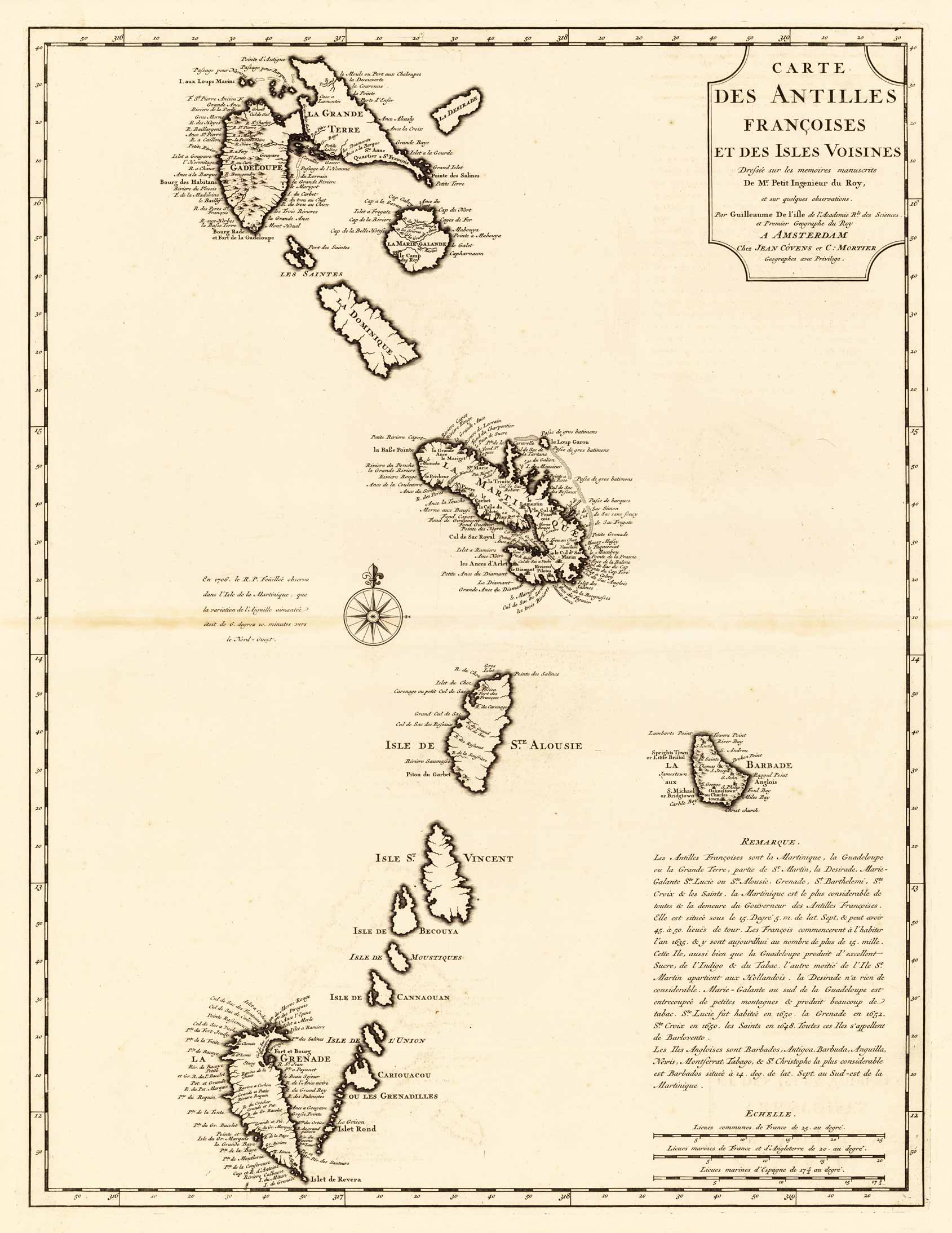
Copper engraving, uncolored as published. A strong and fine impression of the map of the French Antilles published by Covens & Mortier in Amsterdam. The map was engraved after the cartographic scources by Guilleaume De I'isle.
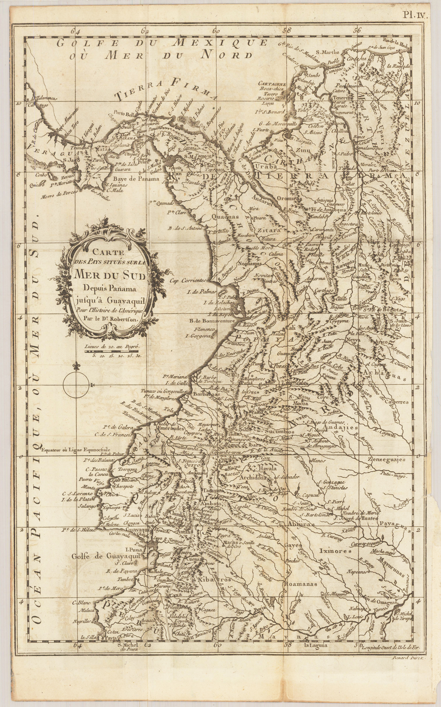
Original antique copper engraving, uncolored. Detailed map of the region from Panama to Guayaquil in Ecuador published 1780 in,Histoire de l'Amérique' by Robertson. The map includes Central America,Tierra Firma' and Colombia.