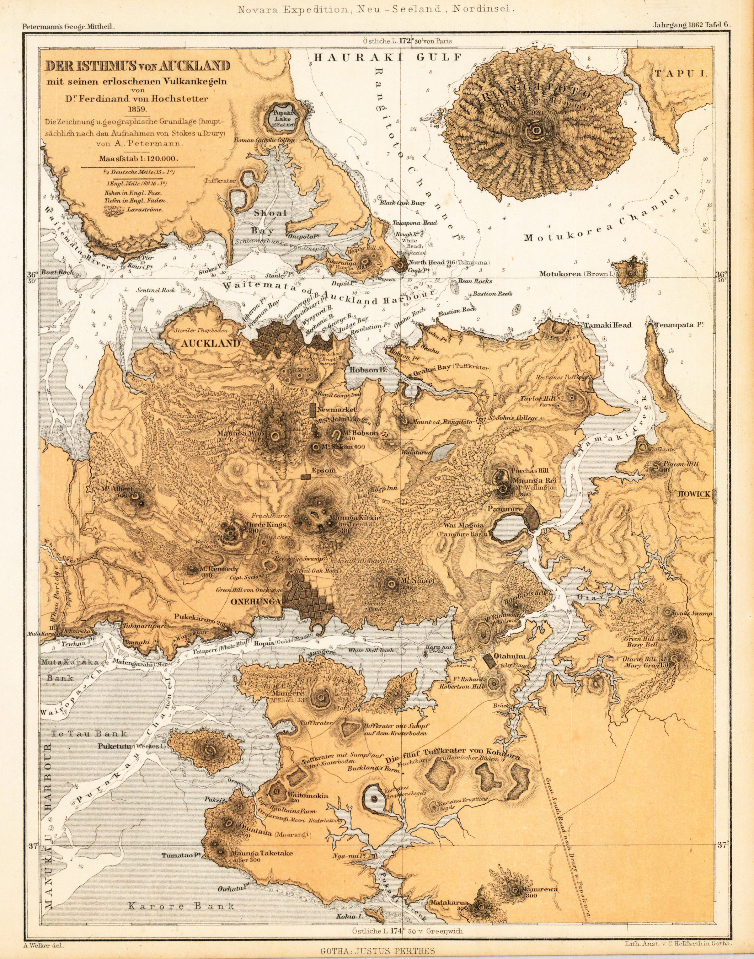
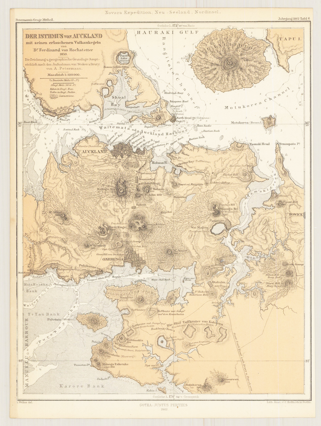
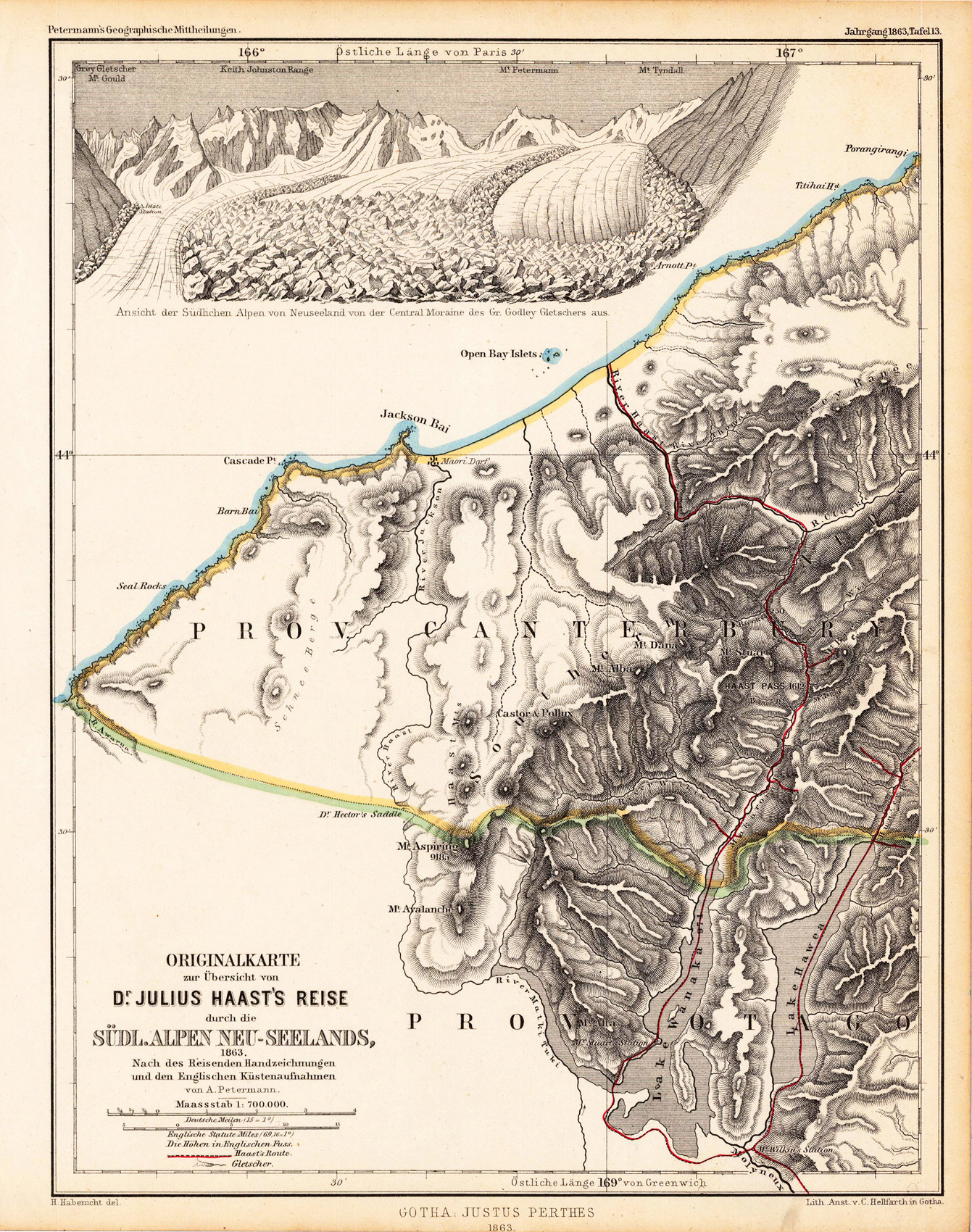
Lithograph, original hand color in outline and wash when published. A small highly detailed map depicting Auckland harbour and its penninsula with the nearby surrounding on North Island in New Zealand. The map shows streets, trails, mountains, vulcanos, geologic information. Remarkable also the detailled information on depths, sandbanks, bays, small islands, etc. in the sea.The map is based on Dr. Ferdinand von Hochstetter in 1859, mainly based on surveys after Drury and Stokes. Published and printed 1862 by Petermann.
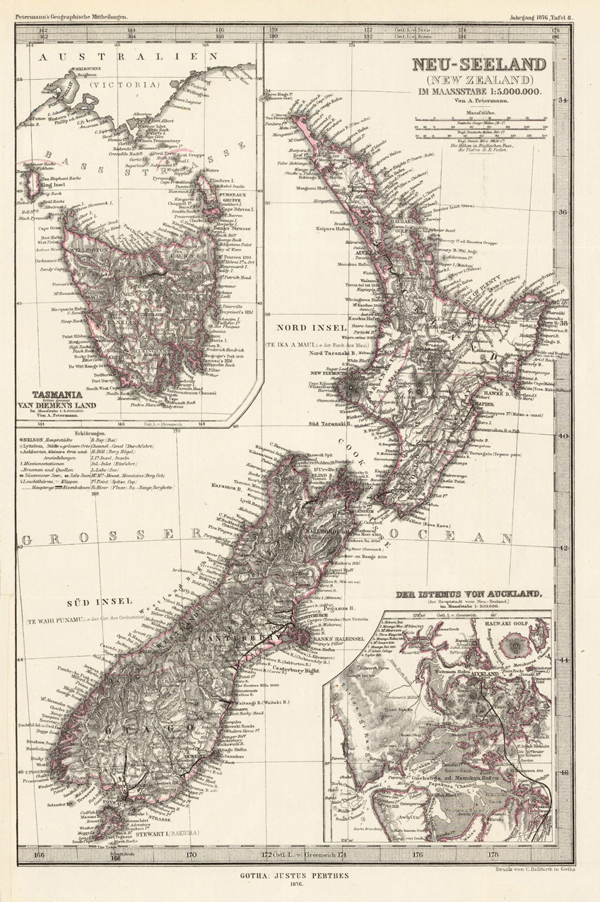
Lithograph, handcolored in outline when published. Three maps on one sheet. The first map shows New Zealand with the Northern and Southern Island. The other two maps are inset maps in the corners: Tasmania (van Diemen's Land) & the Isthmus of Aukland. The map provides a lot of information on place names, cities, rivers, lakes, missions, bays, mountains, etc.
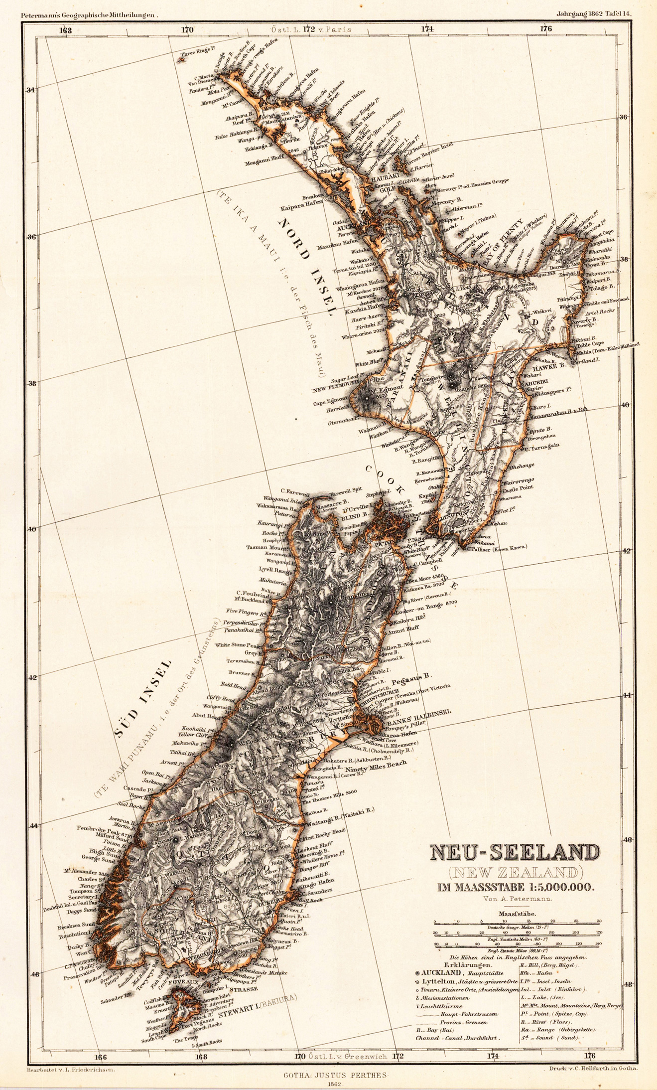
Lithograph, original color as published. Detailled and exact map of New Zealand with the Northern and Southern Island. The map provides a lot of information on place names, cities, rivers, lakes, missions, bays, mountains, etc. Next to the title a mileage scale and an extensive table of explanation.
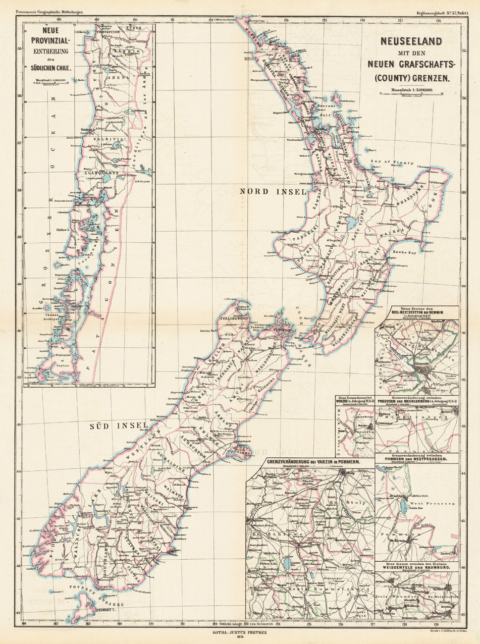
Lithograph, handcolored when published. Decorative map which shows New Zealand with its new county borders. The map generally provides information on regions, which were newly divided up into counties. Therefore New Zealand, Southern Chile and Pomerania are given as examples on the map. However the geographic point is widely spread on this map New Zealand is nicely and detailed shown. All counties are named, as well many place names, rivers, also railroads are shown.
Lithograph, handcolored when published. Decorative map which shows New Zealand with its new county borders. The map generally provides information on regions, which were newly divided up into counties. Therefore New Zealand, Southern Chile and Pomerania are given as examples on the map. However the geographic point is widely spread on this map New Zealand is nicely and detailed shown. All counties are named, as well many place names, rivers, also railroads are shown.
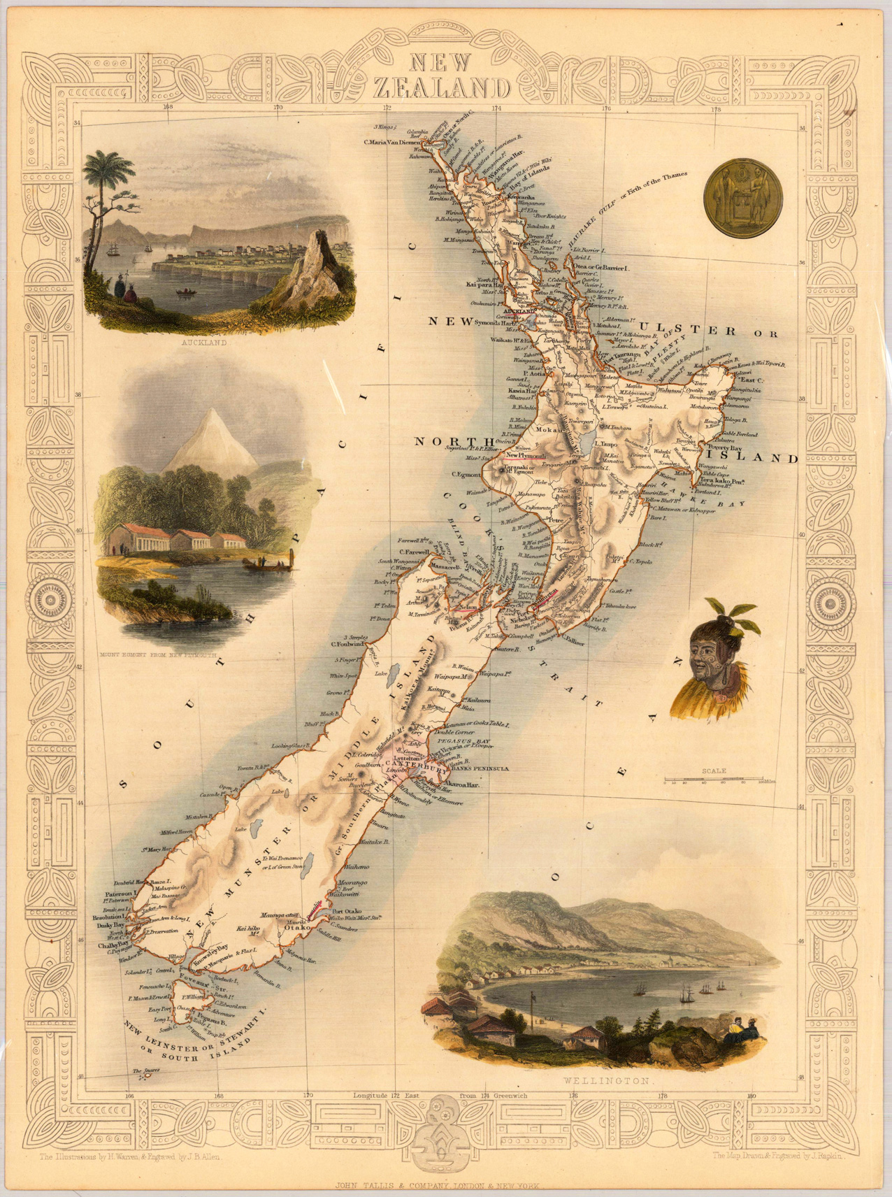
Steel engraving, hand colored in outline and wash. A highly decorative antique map of New Zealand, which is showing the North and South Islands with many details. We do find engraved place names, rivers, lakes and mountains. The map is decorated with three finely hand colored engraved vignette city views: the city of Aukland, Mont Egmont from New Flymouth and the city of Wellington. The actual map was drawn and engraved by J. Rapkin. The illustrations were engraved by various artists: R. Radclyffe, W. Lacy, J. Rogers, J. H. Kernot, J. B. Allen, T. Fleming, H. Winkles, R. Baker after drawings by H. Warren, H. Winkles and H. Wray.