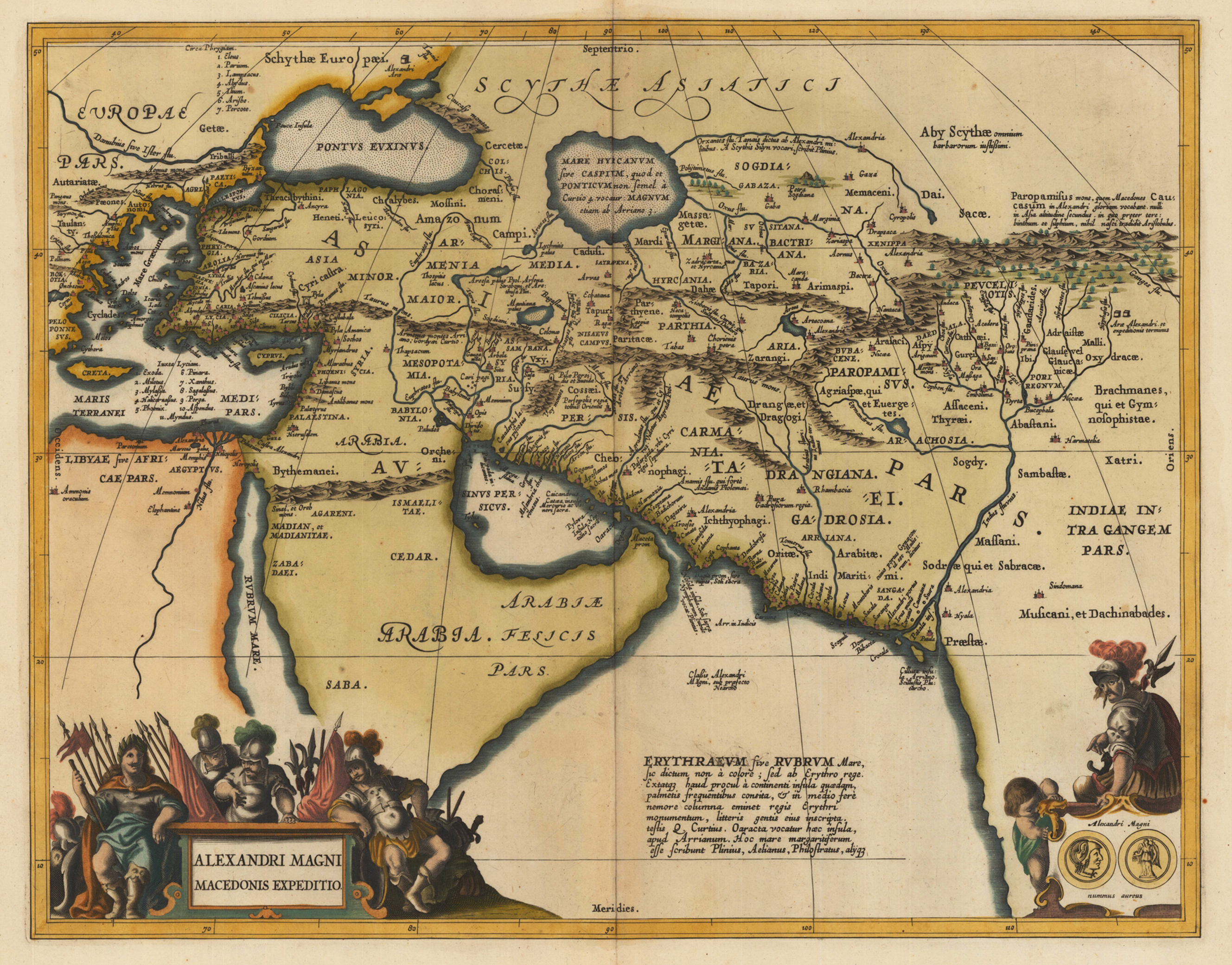
Copper engraving, decorative hand colored in outline and wash. Published in a Latin text edition of Joan. Jansson's historical Atlas, verso blank. The map shows the region covered by Alexander the Great, ornated with two cartouches. In the lower left corner the title cartouche, on the lower right side a small decorative cartouche showing coins and a warrior. Villages and towns are shown as miniature views, as well rivers and mountains are engraved.
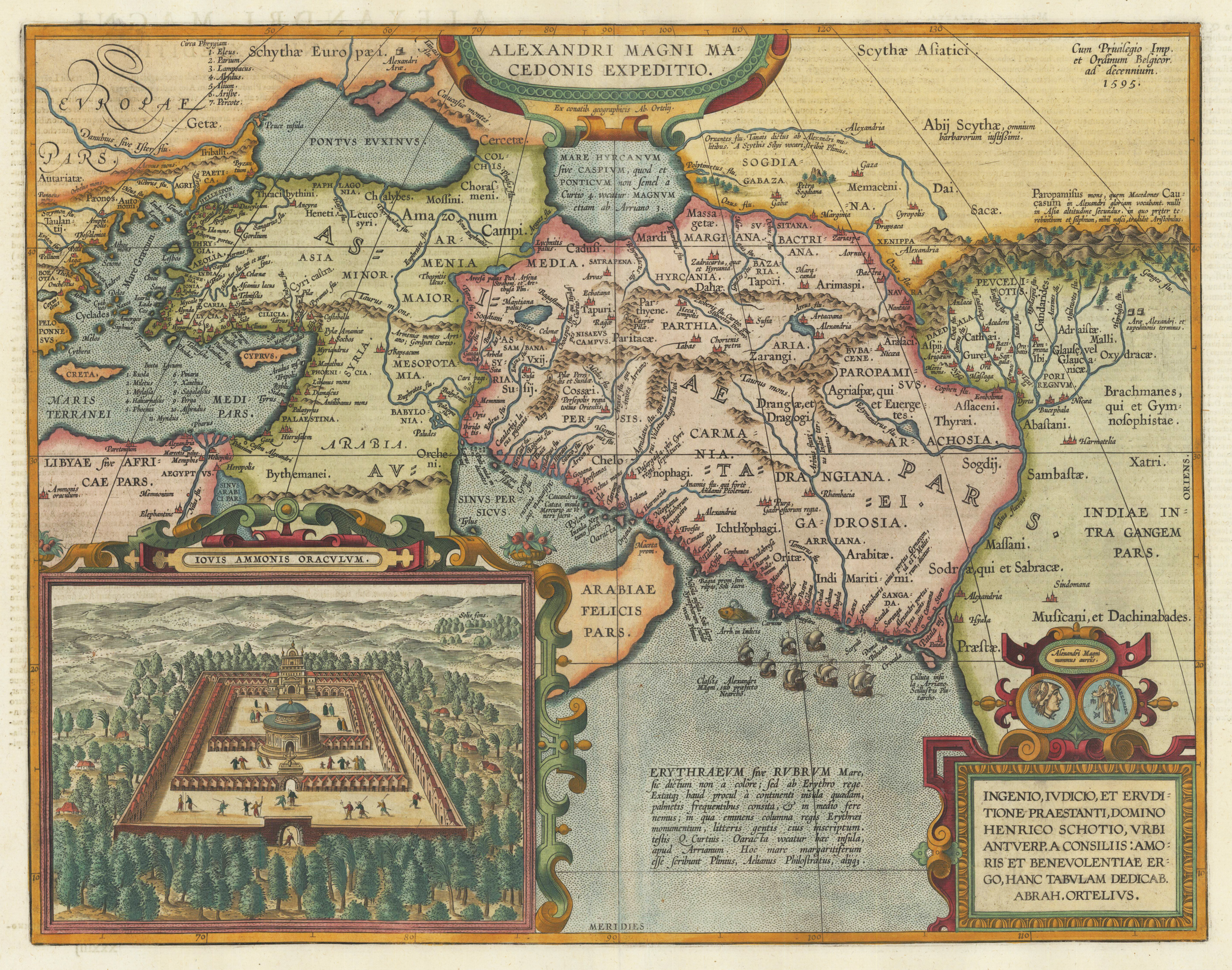
Original copper engraving, published 1612 in the famous historical atlas "Parergon" (Latin text-edition) by Abraham Ortelius. Finely later hand colored in wash and outline. Abraham Ortelius's historical map depicting the expedition of Alexander the Great with the inset view of the temple of Jupiter Amman, situated in present day in Libya, where Alexander the Great went to ask what would be the result of his expedition. The geographical sources of this map is based on various classical authors: Archelaus, Diogenes, Plinius, Ptolemy, Livius and Plutarch. This highly decorative and interessting historical map shows the Eastern Mediterranean Sea, the Middle East and Persia towards the neighbouring India. The fleet of Alexander the Great nicely engraved in the northern part of the Indian Ocean together with a small sea monster. Historical place names, rivers and mountain chains are engraved on the antique map. Lower right corner with a text cartouche with a dedication to Abraham Ortelius and above ornated with a coin showing a portrait of Alexander the Great. The map is ornated with two cartouches, on top in the middle the title cartouche, on the lower right side the decorative text cartouche and the ,priviliegium' with the date ,1595' in the upper right corner. In the lower left corner we find an inset showing the oracle of Jupiter Amman. Villages and towns are shown as miniature views. The map was published for the first time in 1595 in the edition of the ,Theatrum Orbis Terrarum' and was published until 1624 in the atlas ,Parergon' by A. Ortelius.
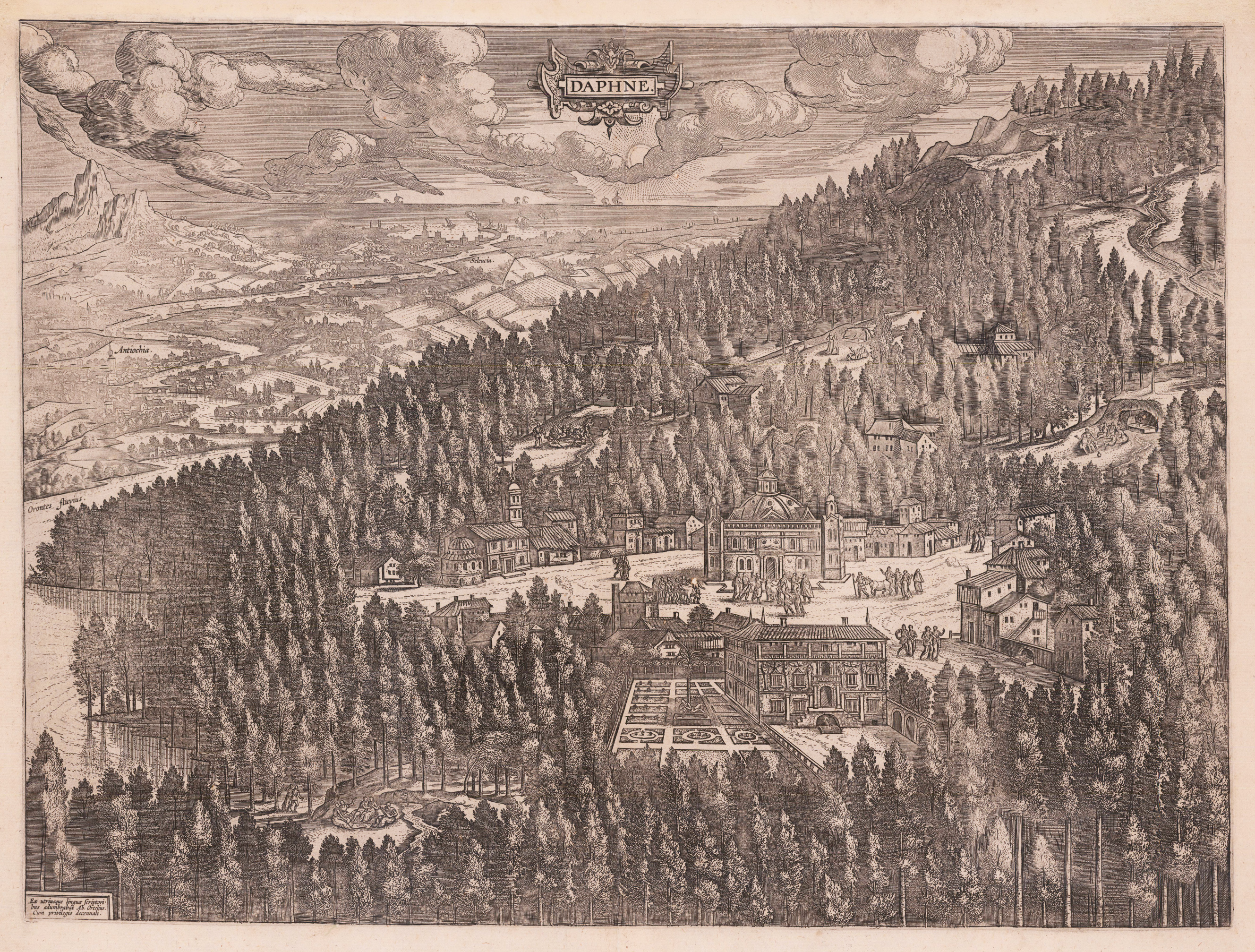
Original copper engraving, published 1612 in the famous historical Atlas ,Parergon' by Abraham Ortelius. This view of Daphne by Abraham Ortelius is the depiction of Daphne, a suburb of Antioch in Syria. This illustrated Paradise represents a mixture of Greek myth and history. Rare state of the ,Daphne plate' verso blank without text. Van der Broecke does not list any examples with text verso.
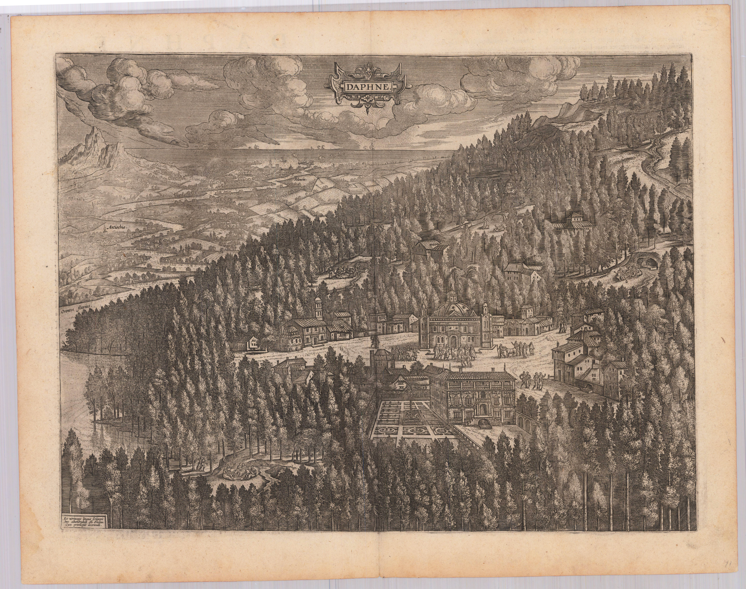
Original copper engraving, published in the 1624 Latin text edition of the historical Atlas,Parergon' by Abraham Ortelius. Verso with pagination number xlviiJ, This view of Daphne by Abraham Ortelius is the depiction of Daphne, a suburb of Antioch in Syria. This illustrated Paradise represents a mixture of Greek myth and history., According to the latest edition of Broecke's,Ortelius Atlas Maps' this map was pubished in the 1624 Latin edition with the word,lianus' in the last line on the 1st text page of the 2nd column (right aligned) and the cursive printed word,perennet' in the 2nd column (left aligned) of the 2nd text page.
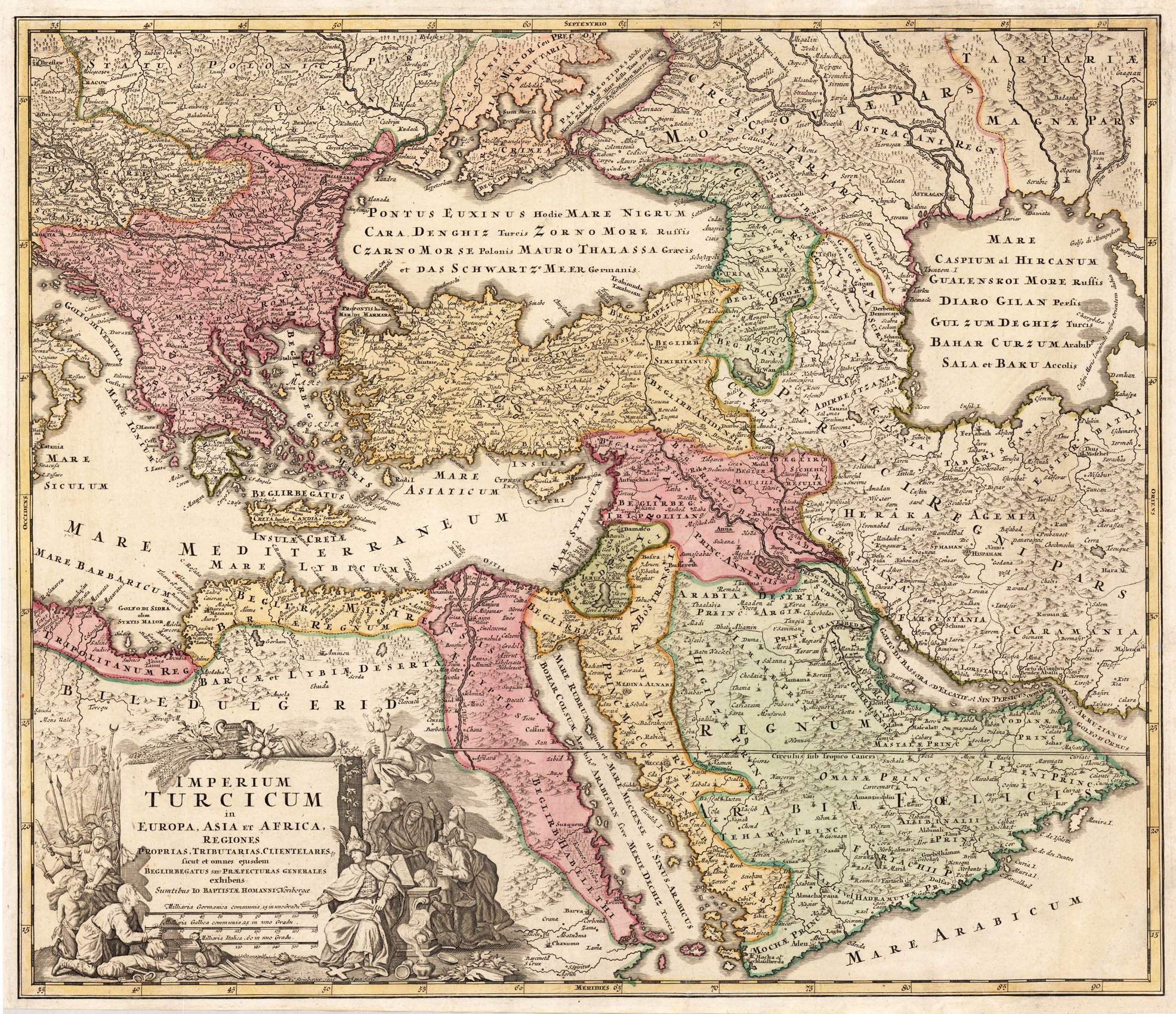
Original antique copper engraving, hand colored in outline and wash when published. This decorative antique map shows us the Turkish empire around 1720-40. Political borders are shown in the old outline handcoloring. The map is equipped with many place names, rivers, islands, mountains, woods, etc. In the lower left corner with an allegoric title cartouche showing the ruler of the Osman empire with merchants and soldiers. Johann Baptist Homann (20 March 1664 – 1 July 1724) was a German geographer and cartographer, who also made maps of the Americas. Homann was born in Oberkammlach near Kammlach in the Electorate of Bavaria. Although educated at a Jesuit school, and preparing for an ecclesiastical career, he eventually converted to Protestantism and from 1687 worked as a civil law notary in Nuremberg. He soon turned to engraving and cartography; in 1702 he founded his own publishing house. Homann acquired renown as a leading German cartographer, and in 1715 was appointed Imperial Geographer by Emperor Charles VI. Giving such privileges to individuals was an added right that the Holy Roman Emperor enjoyed. In the same year he was also named a member of the Prussian Academy of Sciences in Berlin. Of particular significance to cartography were the imperial printing privileges (Latin: privilegia impressoria). These protected for a time the authors in all scientific fields such as printers, copper engravers, map makers and publishers. They were also very important as a recommendation for potential customers. In 1716 Homann published his masterpiece Grosser Atlas ueber die ganze Welt (Grand Atlas of all the World). Numerous maps were drawn up in cooperation with the engraver Christoph Weigel the Elder, who also published Siebmachers Wappenbuch. Homann died in Nuremberg in 1724. He was succeeded by his son Johann Christoph (1703-1730). The company carried on upon his death as Homann heirs company, managed by Johann Michael Franz and Johann Georg Ebersberger. After subsequent changes in management the company folded in 1852.[1] The company was known as "Homann Erben", "Homanniani Heredes", or "Heritiers de Homann" abroad. (Wikipedia)
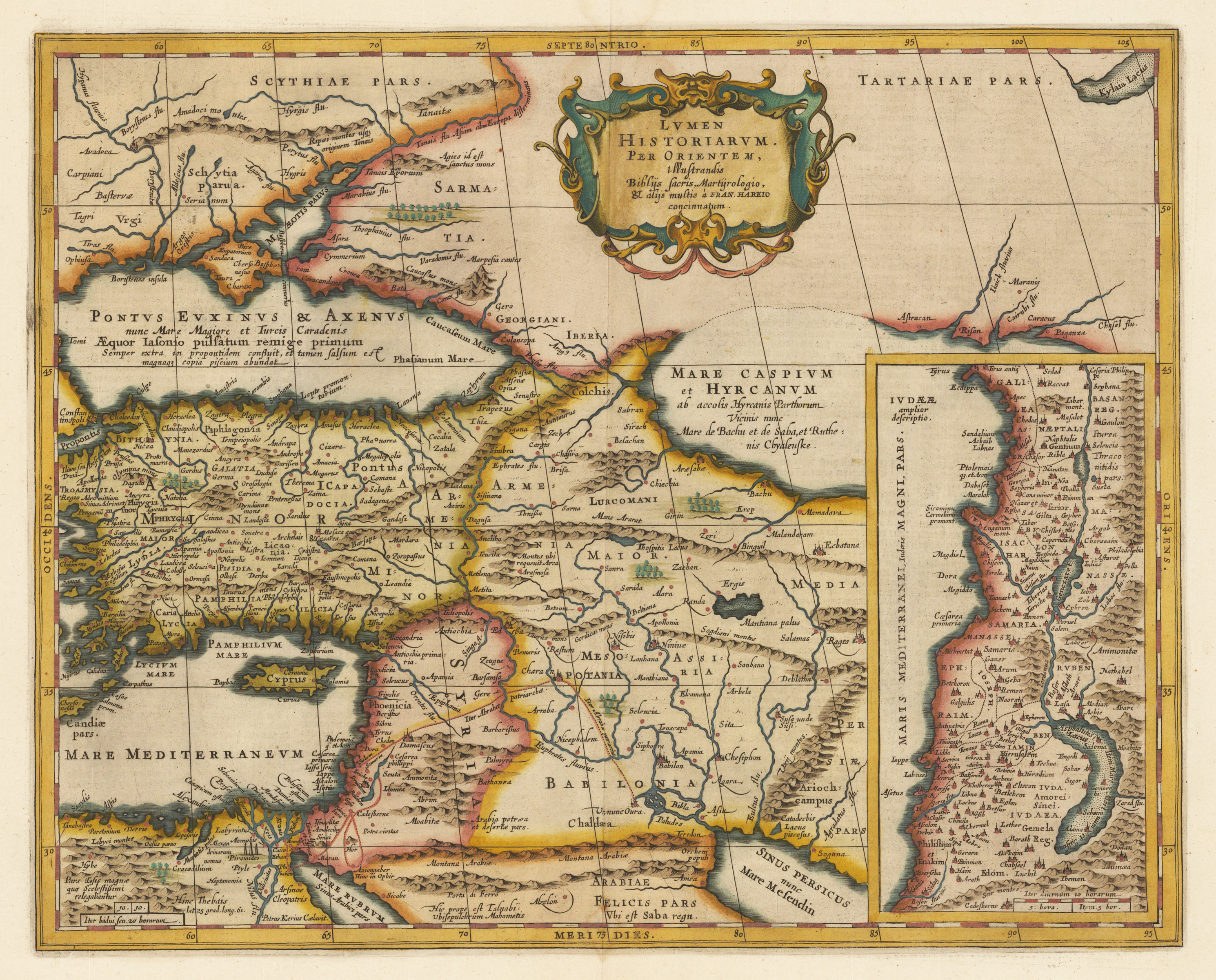
Copper engraving, handcolored in outline when published. A highly decorative map, which is ornated with a large decorative title cartouche at the bottom. On the top a large renaissance cartouche with title. Ornated in the lower right corner with a large inset map of Palestine.
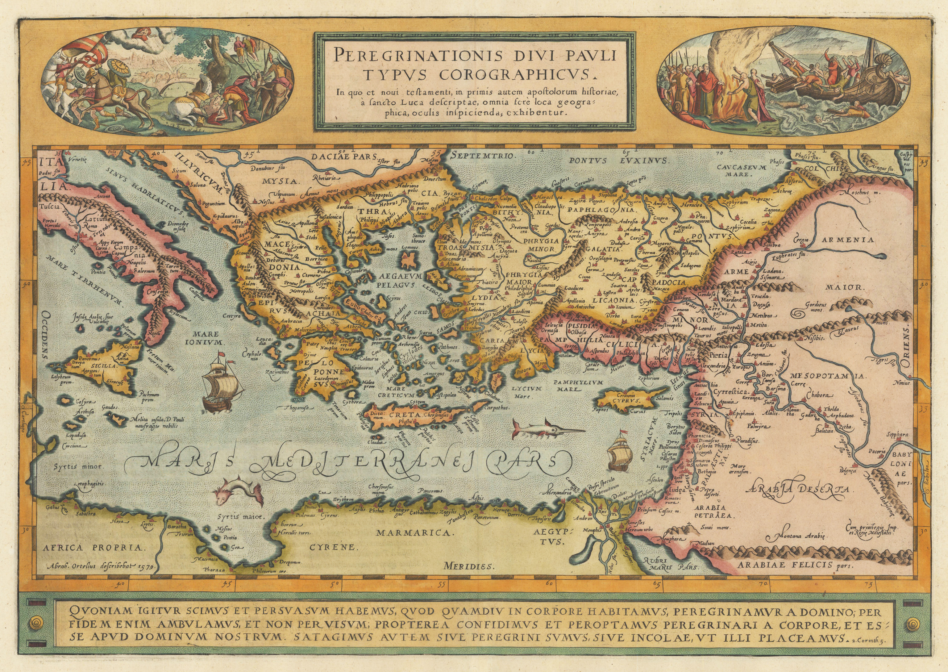
Original copper engraving, published 1612 in the famous historical atlas "Parergon" (Latin text-edition) by Abraham Ortelius. Finely later hand colored in wash and outline. A highly decorative map showing the travels of St. Paul in the Mediterrean. Decorated with two oval historical engraved scenes from the travels of St. Paul. The map is equipped with two sailing ships, a speer fish and a sea monster in the Mediterranean Sea. Engraved place names and towns are shown as miniature views, rivers and mountains are engraved, too. The bottom of the map contains a large text chapter in three lines: the fifth chapter of the Second Epistle to the Corinthians in the New Testament of the Christian Bible. It is authored by Paul the Apostle and Saint Timothy (2 Corinthians 5). The map was published for the first time in 1579 in the edition of the ,Theatrum Orbis Terrarum' and was published until 1624 in the atlas ,Parergon' by A. Ortelius. This is the first state of two, published 1612 with Latin text verso. The 1st state can be identified that the word ,Corographicus' has yet not been corrected to ,Chorographicus' and that the stippling around the sea names has not been added.