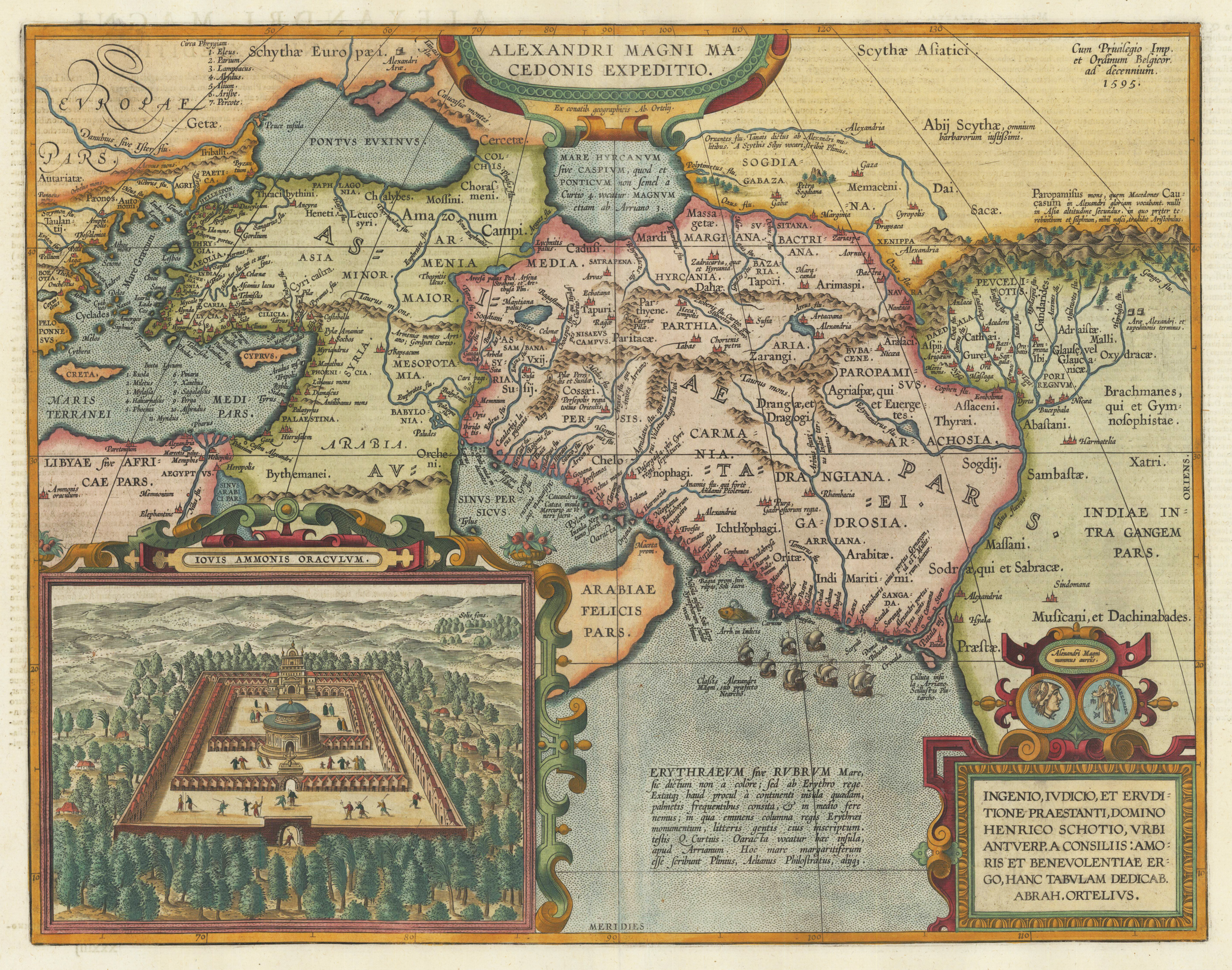
Original copper engraving, published 1612 in the famous historical atlas "Parergon" (Latin text-edition) by Abraham Ortelius. Finely later hand colored in wash and outline. Abraham Ortelius's historical map depicting the expedition of Alexander the Great with the inset view of the temple of Jupiter Amman, situated in present day in Libya, where Alexander the Great went to ask what would be the result of his expedition. The geographical sources of this map is based on various classical authors: Archelaus, Diogenes, Plinius, Ptolemy, Livius and Plutarch. This highly decorative and interessting historical map shows the Eastern Mediterranean Sea, the Middle East and Persia towards the neighbouring India. The fleet of Alexander the Great nicely engraved in the northern part of the Indian Ocean together with a small sea monster. Historical place names, rivers and mountain chains are engraved on the antique map. Lower right corner with a text cartouche with a dedication to Abraham Ortelius and above ornated with a coin showing a portrait of Alexander the Great. The map is ornated with two cartouches, on top in the middle the title cartouche, on the lower right side the decorative text cartouche and the ,priviliegium' with the date ,1595' in the upper right corner. In the lower left corner we find an inset showing the oracle of Jupiter Amman. Villages and towns are shown as miniature views. The map was published for the first time in 1595 in the edition of the ,Theatrum Orbis Terrarum' and was published until 1624 in the atlas ,Parergon' by A. Ortelius.
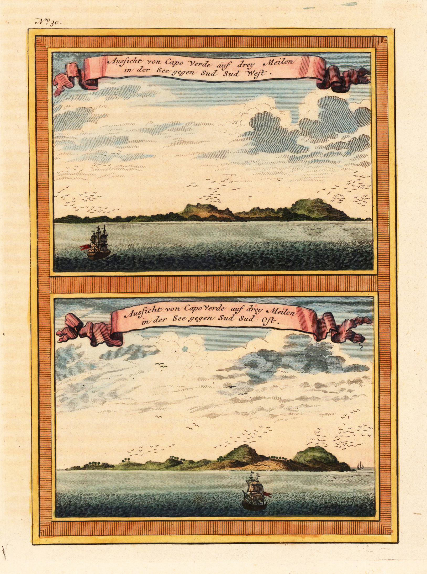
Copper engraving, hand colored in outline and wash when published. A fine detailed and interesting map engraved by Bellin after earlier voyages. Published in the German edition by Schwabe in Leipzig of Bellin's travel books.
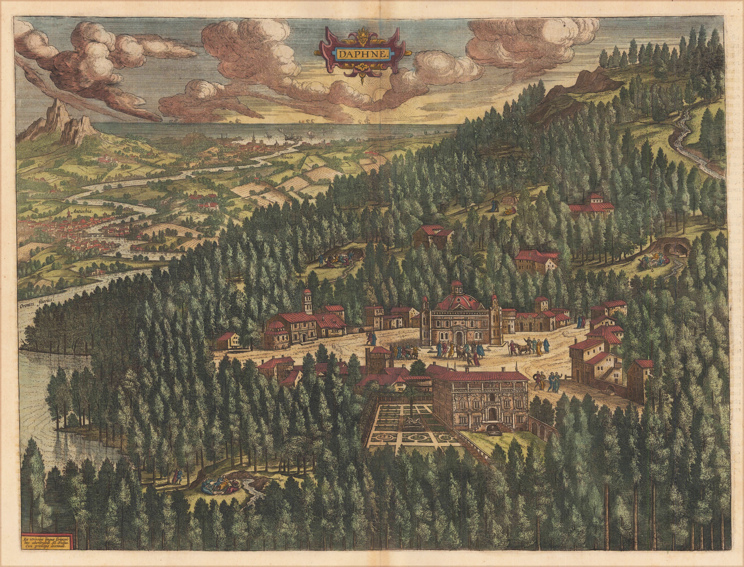
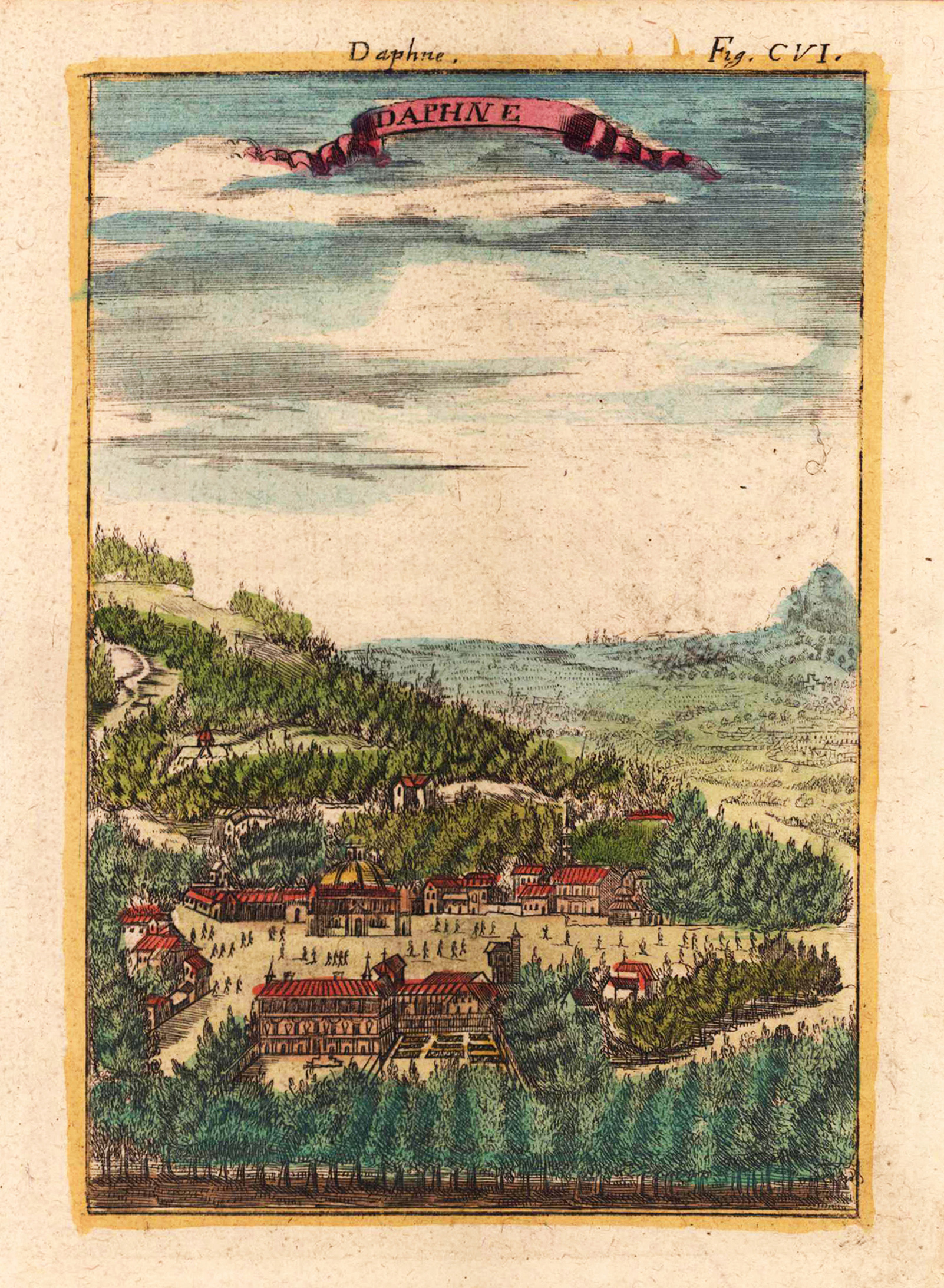
Original copper engraving, finely later hand colored in wash and outline. Published 1612 in the famous historical atlas "Parergon" (Latin text-edition) by Abraham Ortelius. This antique map or panoramic view depicts the ancient temple of Daphne in Syria. Daphne, which is a suburb of Antioch in Syria, is shown in the back ground of the map. This ancient scenery represents represents a mixture of Greek myth and history. The scenery of the temple of Daphne is surrounded by pine woods and the Orontes river. ,Antioch situated on the Orontes was an ancient Greco-Roman city on the eastern side of the Orontes River. Its ruins lie near the modern city of Antakya, Turkey, and lends the modern city its name. Antioch was founded near the end of the 4th century BC by Seleucus I Nicator, one of Alexander the Great's generals.' (Wikipedia).
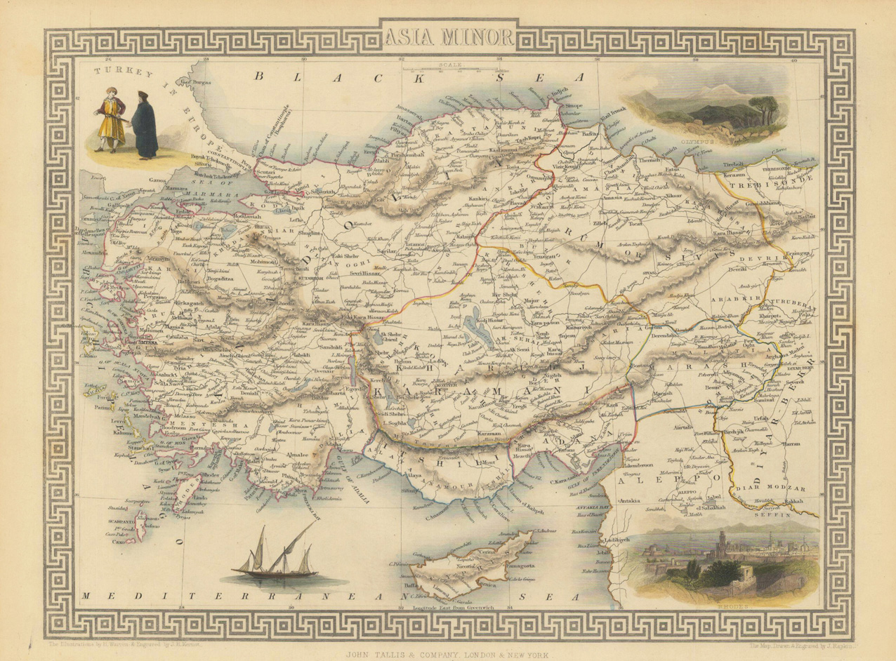
Copper-engraving, handcolored in wash and outline. This antique map shows us Cyprus in the Eastern Mediterranean and the neighboring Near East with Syria, Lebanon and Palestine. An interesting map for the young collector of antique Cyprus maps. Engraved with many place names, mountains, etc.
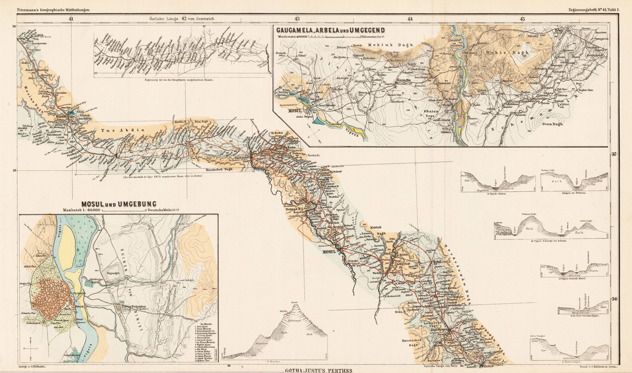
Original lithograph, hand colored in outline and wash when published. Detailled map showing the surroundings of Gaugamela, Arbela and Mosul in Irak. Illustated with two inset maps of the surroundings of Mosul.
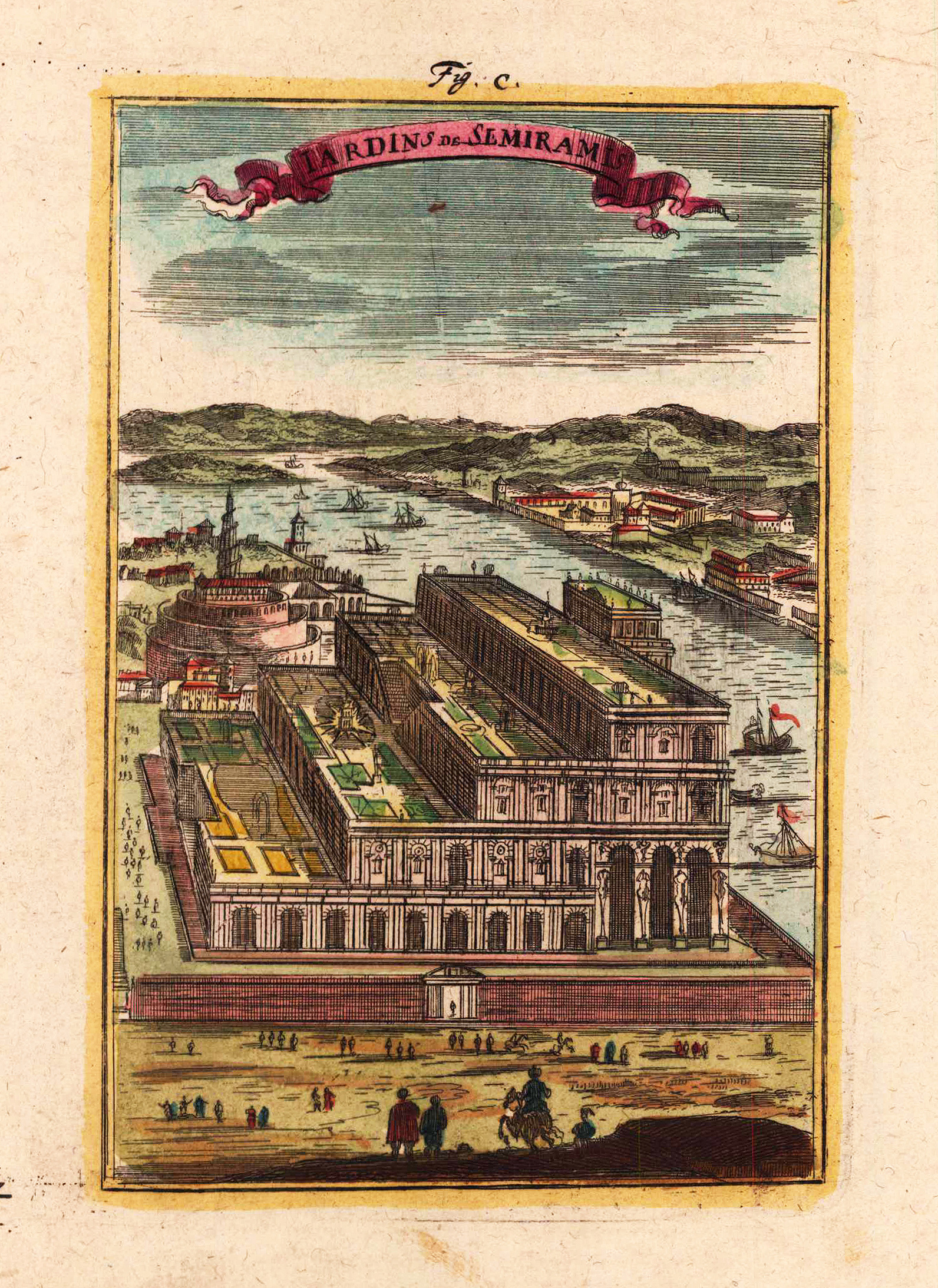
Copper engraving, hand colored in wash and outline. Bird's eye prospect of the 'palace gardens of Semiramis'. Decorative scene with boats in the back ground.
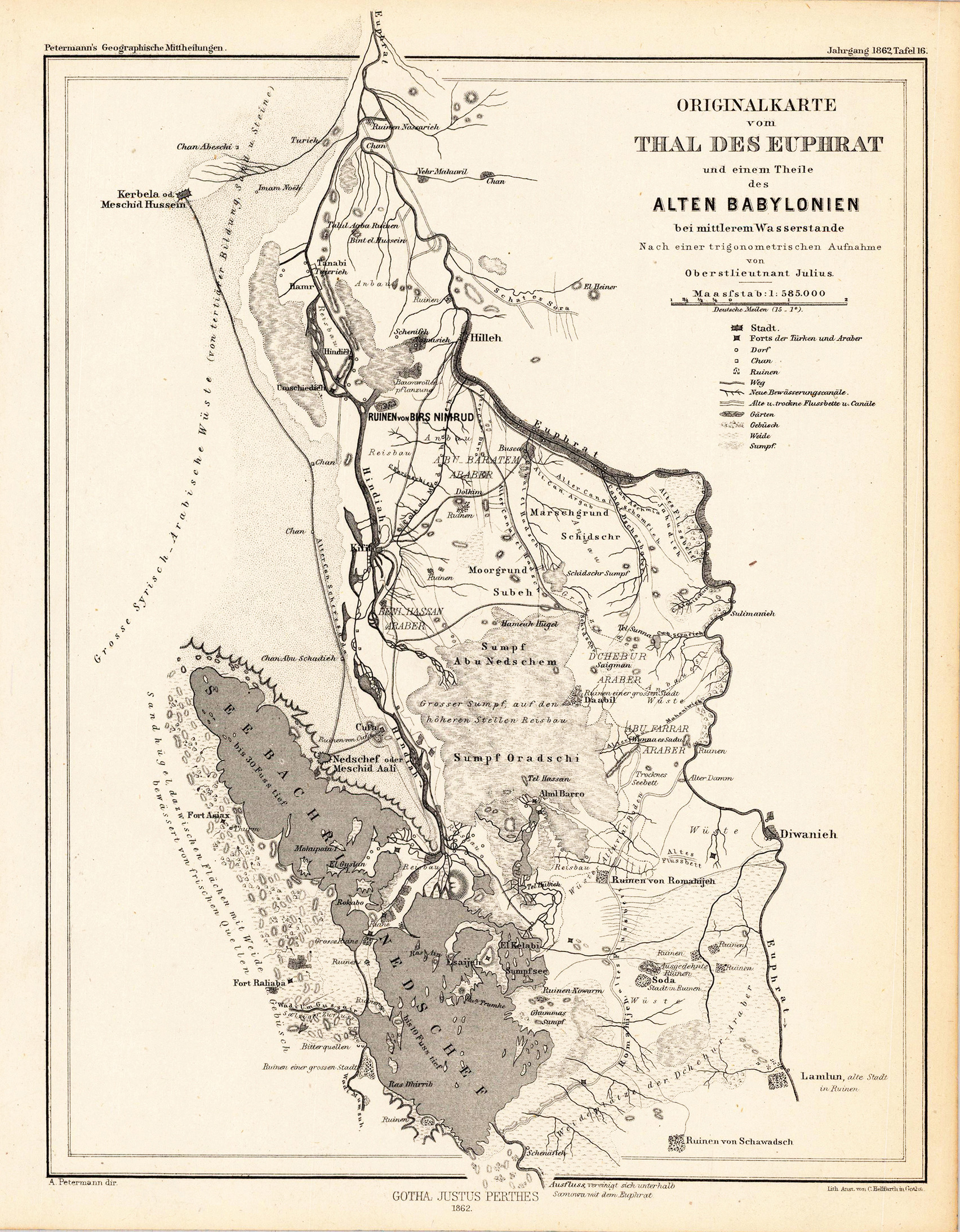
Original lithograph, uncolored as published. Detailled map of the valley of the river Euphrat with a part of the old Babylonia. The detailled map provides information on the old river system, lakes and antique ruins.
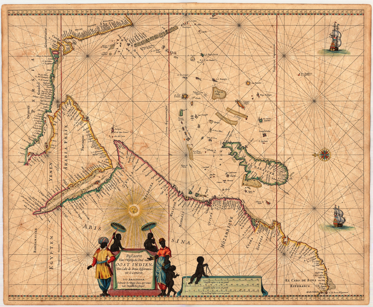
Copper engraving, finely hand colored in outline, when published. Partially heightened in gold. The map of the 'Indian Ocean' is orientated with the north to the left. The highly decorative chart shows the East African coast, Arabia, Madagascar and the islands of the Indian Ocean with the Seychelles and the Maldives. The sea is ornated with two sailing ships, a compass rose, at the bottom a decorative title cartouche, surrounded by African natives, next to it a mileage scale with Dutch, Spanish and English distances in nautical miles. In this period the Dutch East India Company was leading in trading in Asia and exploring the Indian Ocean and Southeast Asia. Pieter Goos was 'one of the best known maritime booksellers of Amsterdam' (Koeman), he published a number of different sea-atlases or pilot books, his work was very much derivative. With his 'Zee-Atlas' he relied heavily on Hendrick Doncker's 'Zee-Atlas' of 1659. Our example of Pieter Goos chart 'Pascaerte Van't Westelycke Deel van Oost Indien ...' was published in an early composit sea-atlas published probably around 1665/66. This map is printed on excellent thick double paper, it stands out through the highly decorative hand colors and the partially heightening of gold in title cartouches, mileage scales, compass roses or other places. P. Goos is well known for his quality of the engraving, as his father also was a skilled engraver, he always tried to produce visually appealing sea charts.
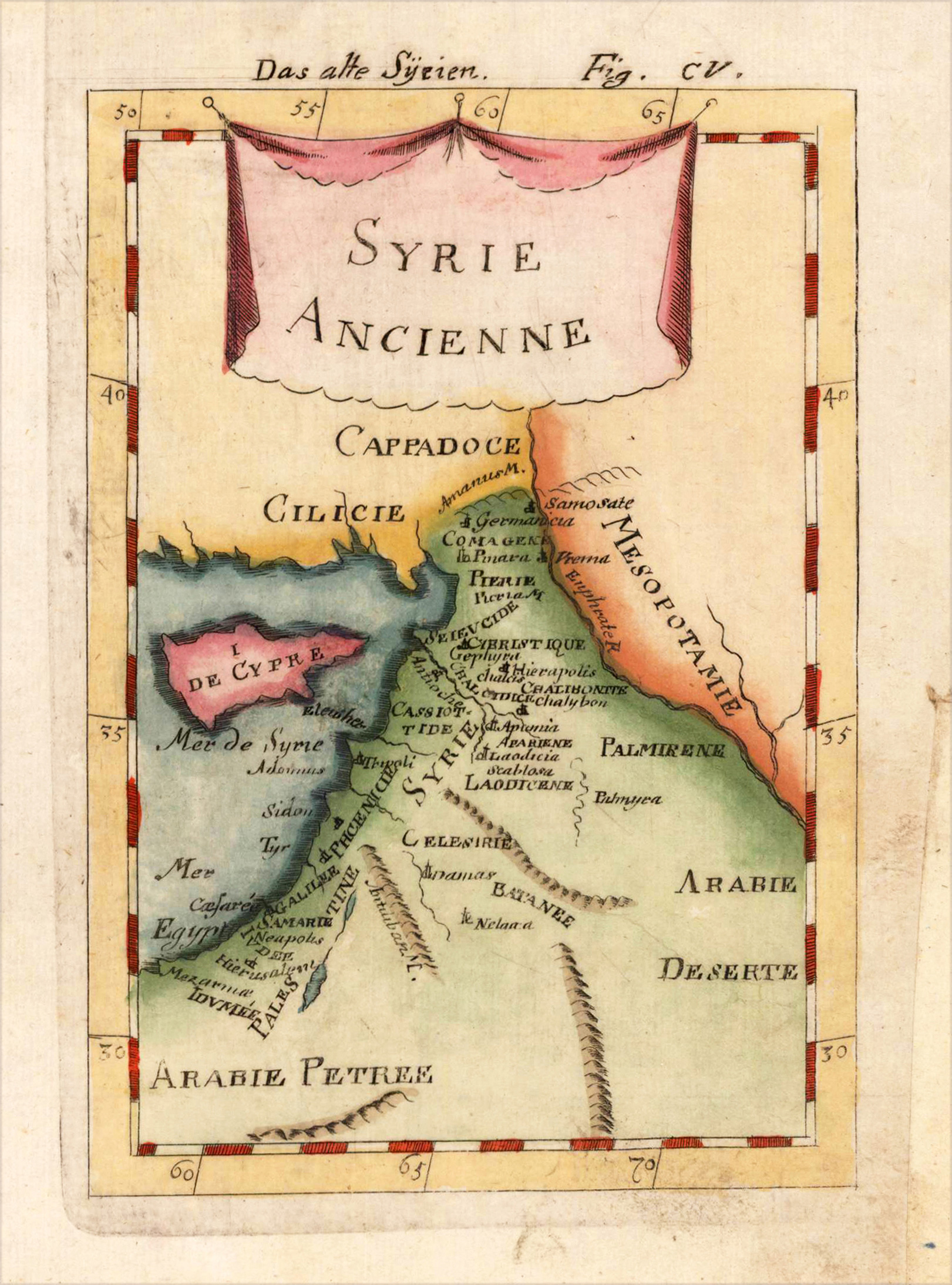
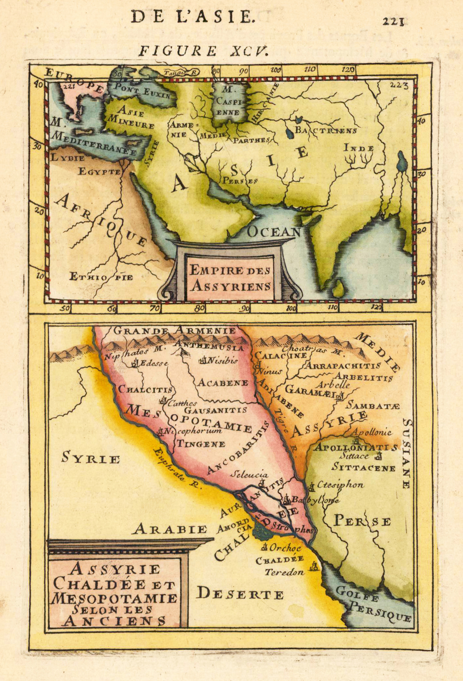
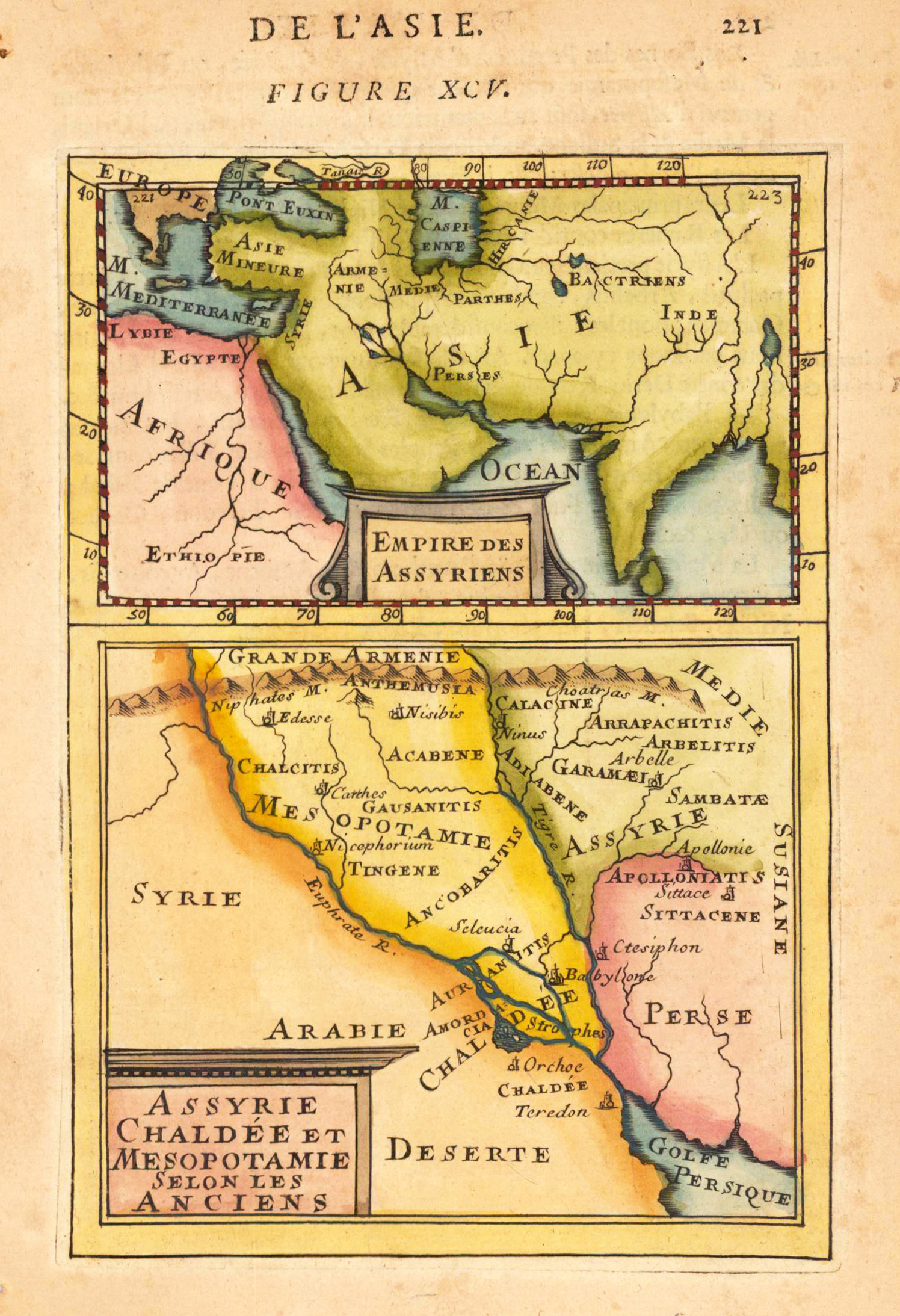
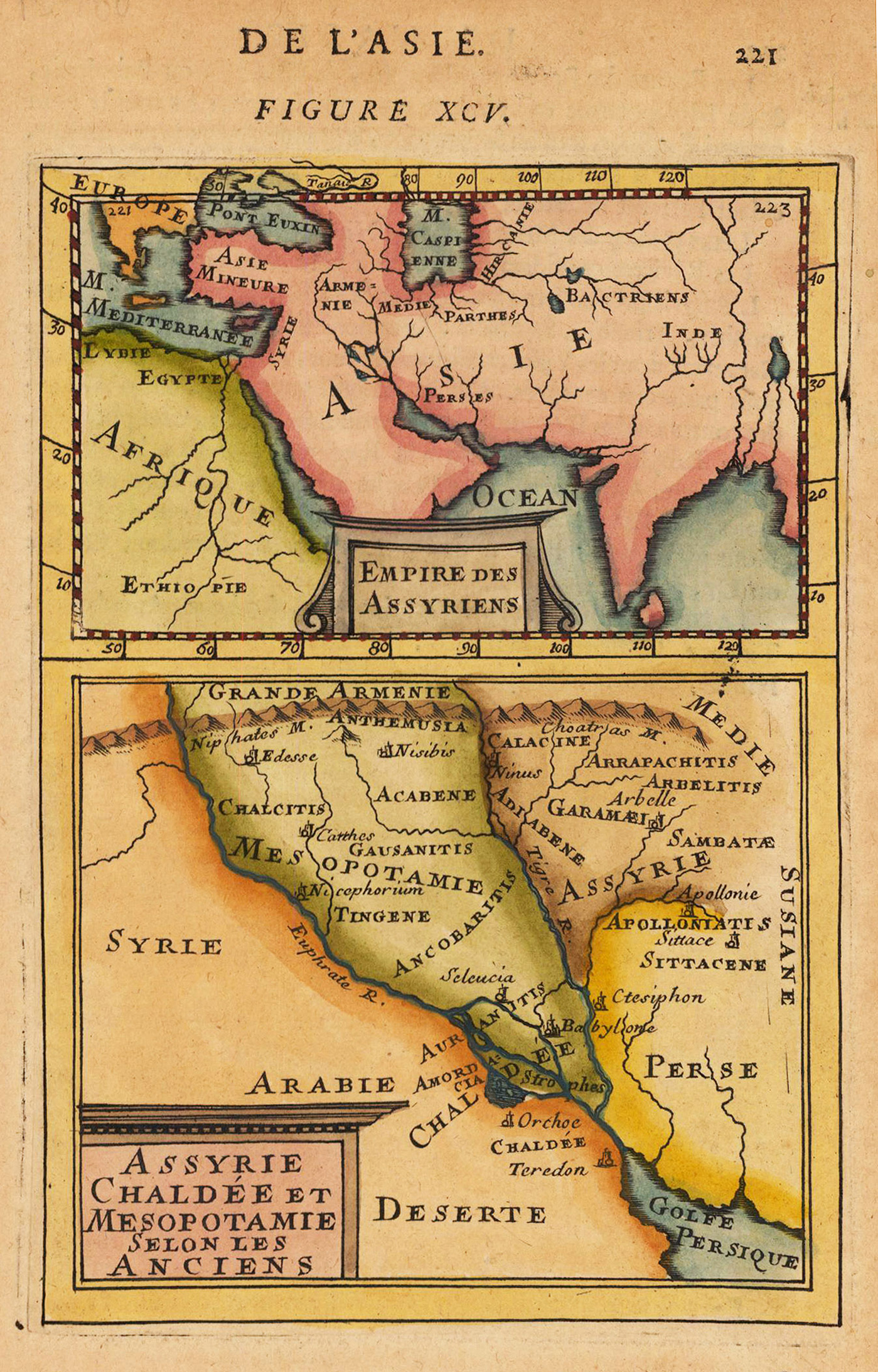
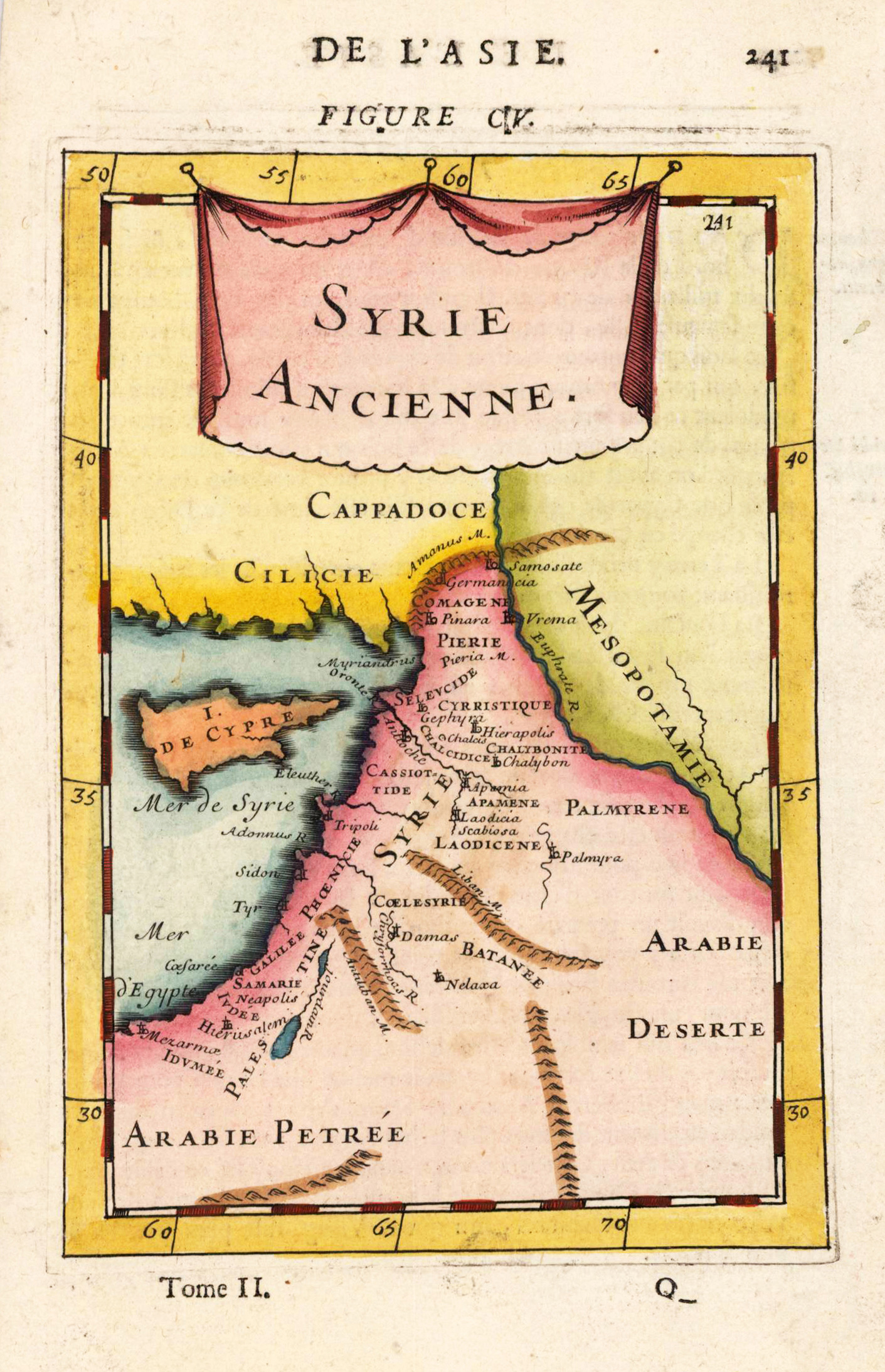
Copper engraving, hand colored in wash and outline, published in Allain Manesson Mallet's description of the world. This antique print shows us a map from Syria with many place names, mountains, etc.
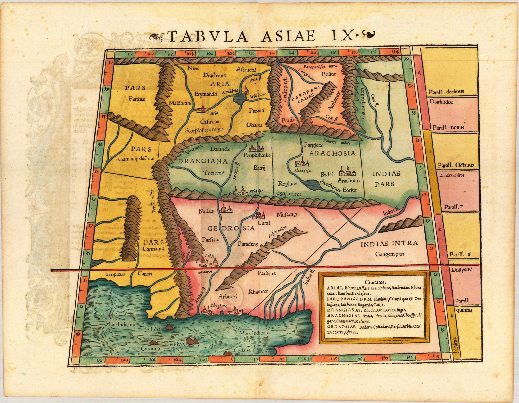
Woodcut map, finely hand colored in wash by a later hand. Verso illustrated with a decorative colored woodcut illustration. This map depicts a the region of Iran, Pakistan and Afghanistan with the river delta of the Indus River and the Indian Ocean. Various cities and mountain ranges are as well shown on the map, noted at the lower right side. A highly decorative woodcut map by famous mapmaker Sebastian Münster published in his Ptolemy edition 1552 in Basel at Heinrich Petri. The decorative woodcut bordures verso were probably cut by the famous 16th century woodcutter Hans Holbein. Nearly none of the captivating woodcut borders verso are repeating, they are mainly shaped by allegoric scenes, coat of arms or wonderful initials.
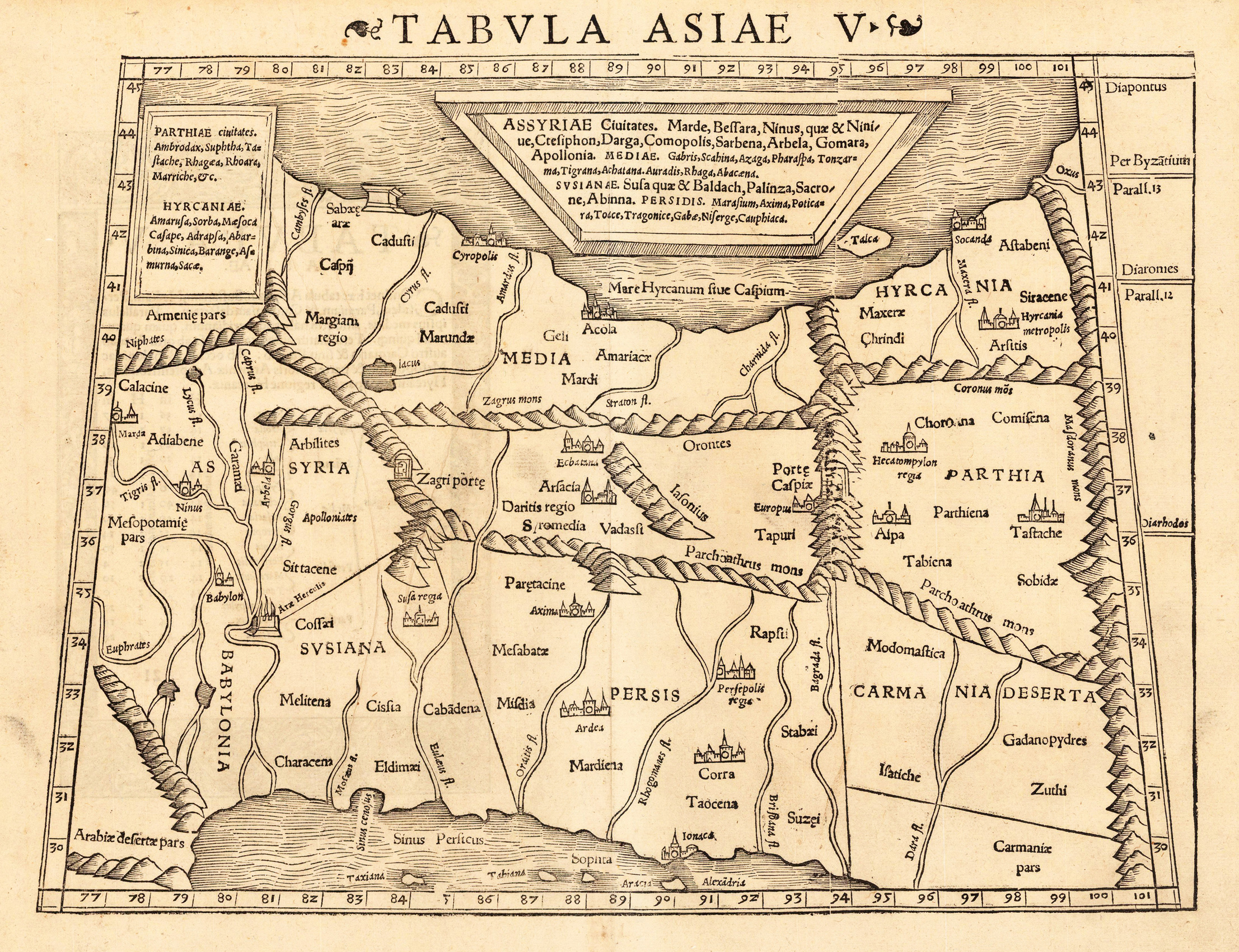
Woodcut map from "Geographiae Libri VIII..." published in Basel at Heinrich Petri. A highly decorative woodcut map by famous mapmaker Sebastian Münster published in his Ptolemy edition 1552 in Basel at Heinrich Petri. A very interesting map which shows parts of Syria, Persia and the Caspian Sea. Within the map are rivers, place names, mountain chains are schematic drawn, place names with miniature city views.
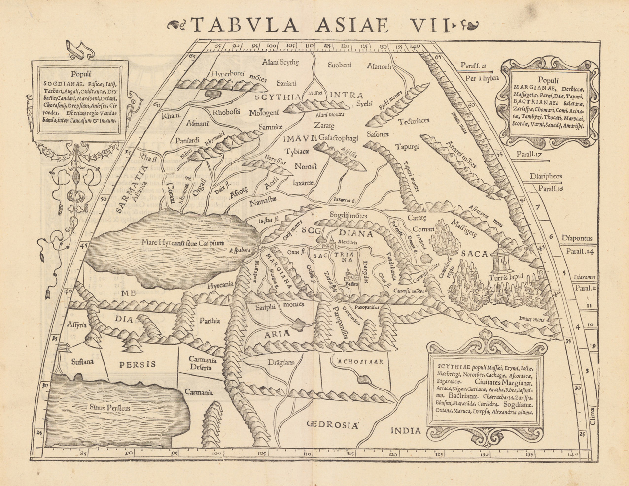
Woodcut map from "Geographiae Libri VIII..." published in Basel at Heinrich Petri. A highly decorative woodcut map by famous mapmaker Sebastian Münster published in his Ptolemy edition 1552 in Basel at Heinrich Petri. The decorative woodcut bordures verso were probably cut by the famous 16th century woodcutter Hans Holbein. Nearly none of the captivating woodcut borders verso are repeating, they are mainly shaped by allegoric scenes, coat of arms or wonderful initials. A very interesting map which shows parts of Syria, Persia and the Caspian Sea. Within the map are rivers, place names, mountain chains are schematic drawn, place names with miniature city views.