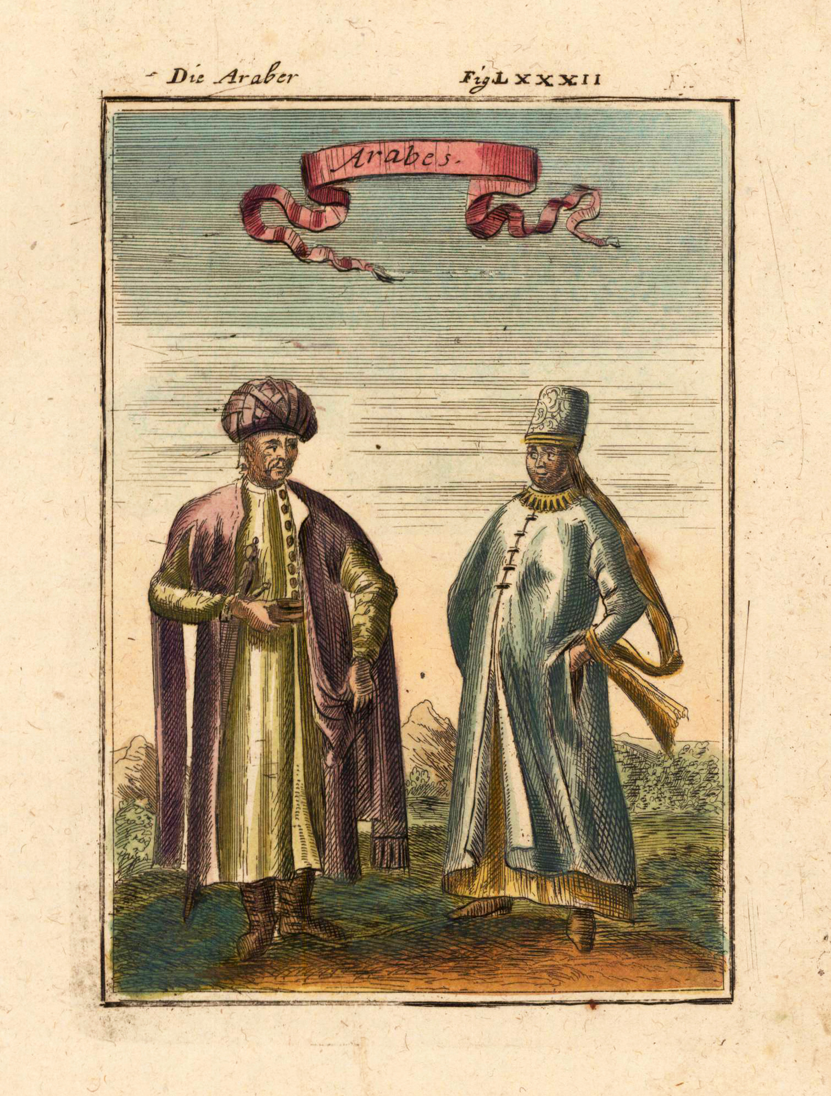
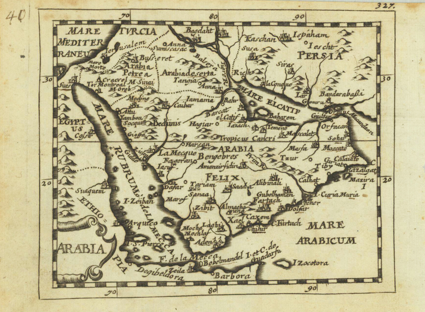
Original copper engraving, uncolored. Published in Pierre Du Val's atlas ,Anderer Theil der allgemeinen Weltbeschreibung von Europa' (German edition Nürnberg at Johann Hoffmann & Christoph Gerhard.
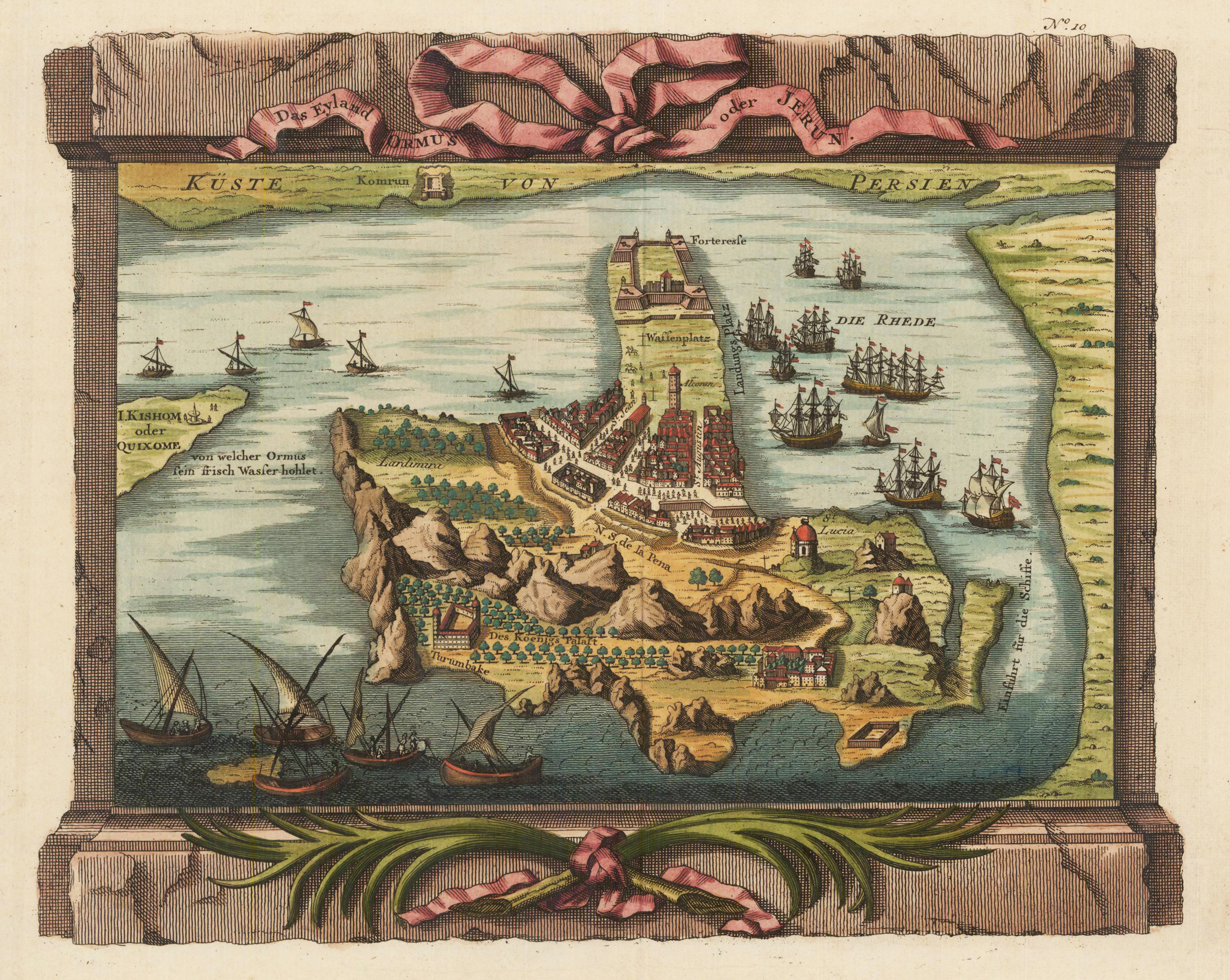
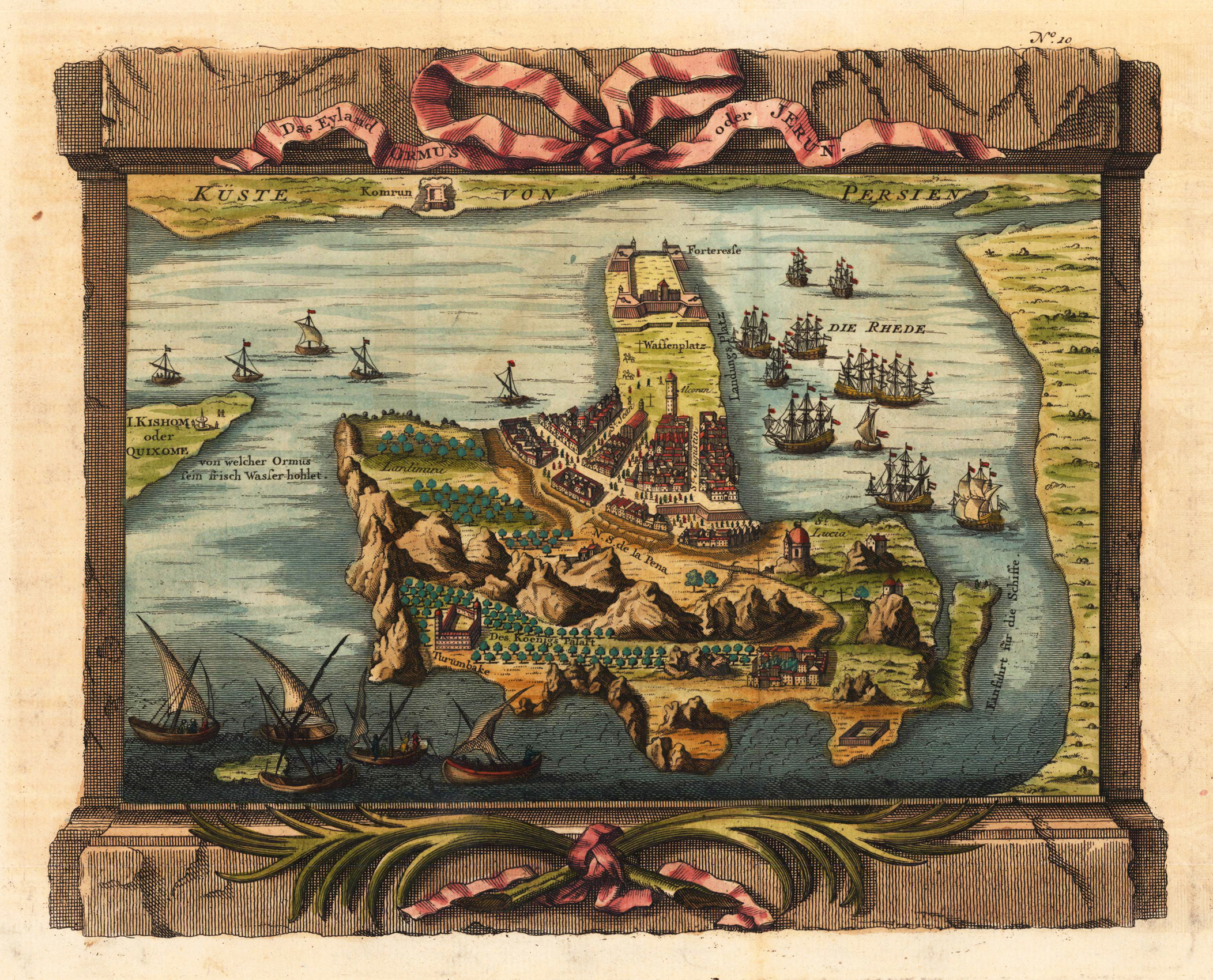
Copper engraving, hand colored in outline and wash. A fine detailed and interesting map engraved by Bellin after earlier voyages. Published in the French edition by of Bellin's travel books. The decorative antique map depicts a bird's eye view of the Island of Hormuz in the Persian Gulf. Its shows the old city with the king's palace, gardens, the fortifications and the city.
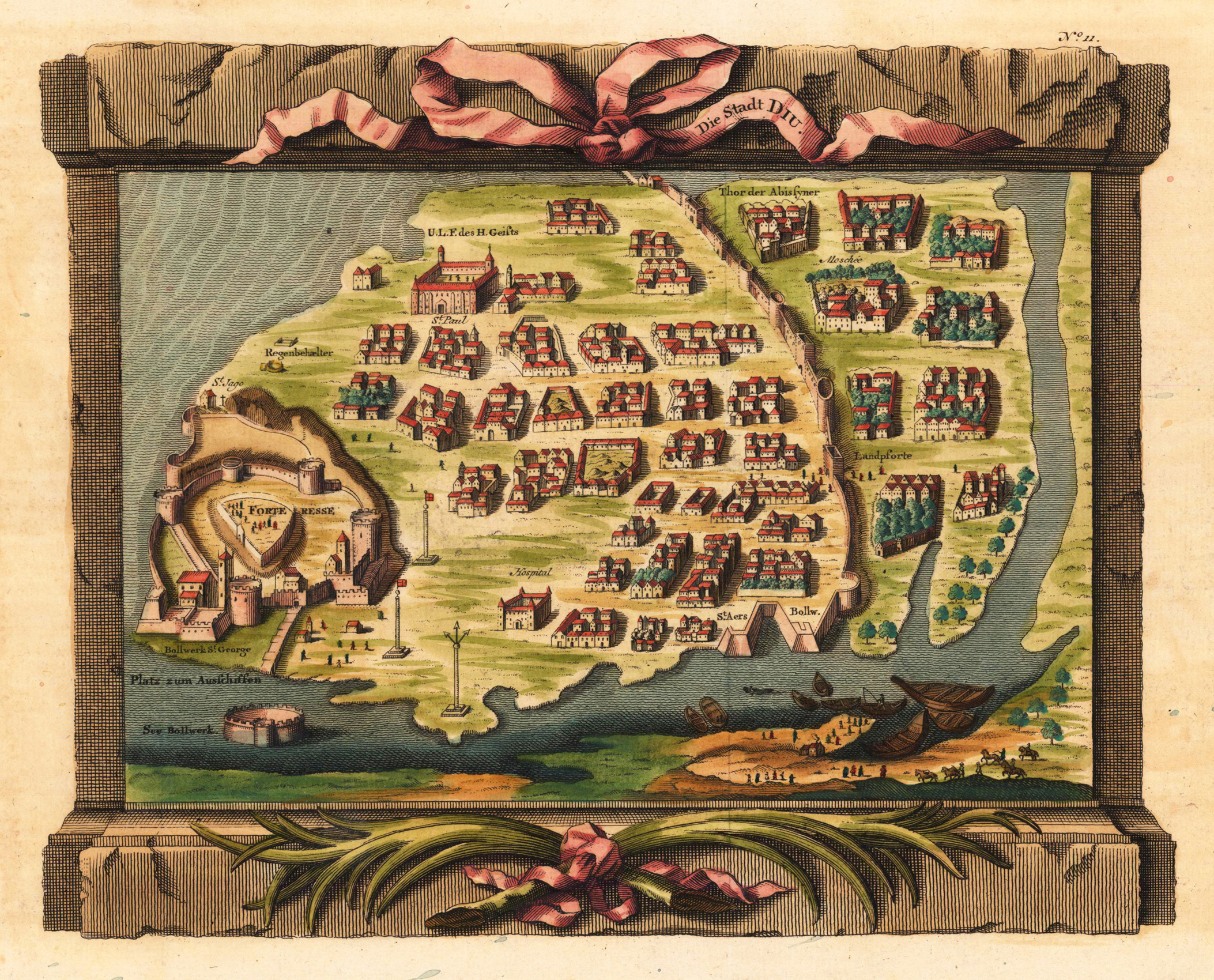
Copper engraving, hand colored in outline and wash when published. A fine detailed and interesting map engraved by Bellin after earlier voyages. Published in the German edition by Schwabe in Leipzig of Bellin's travel books.
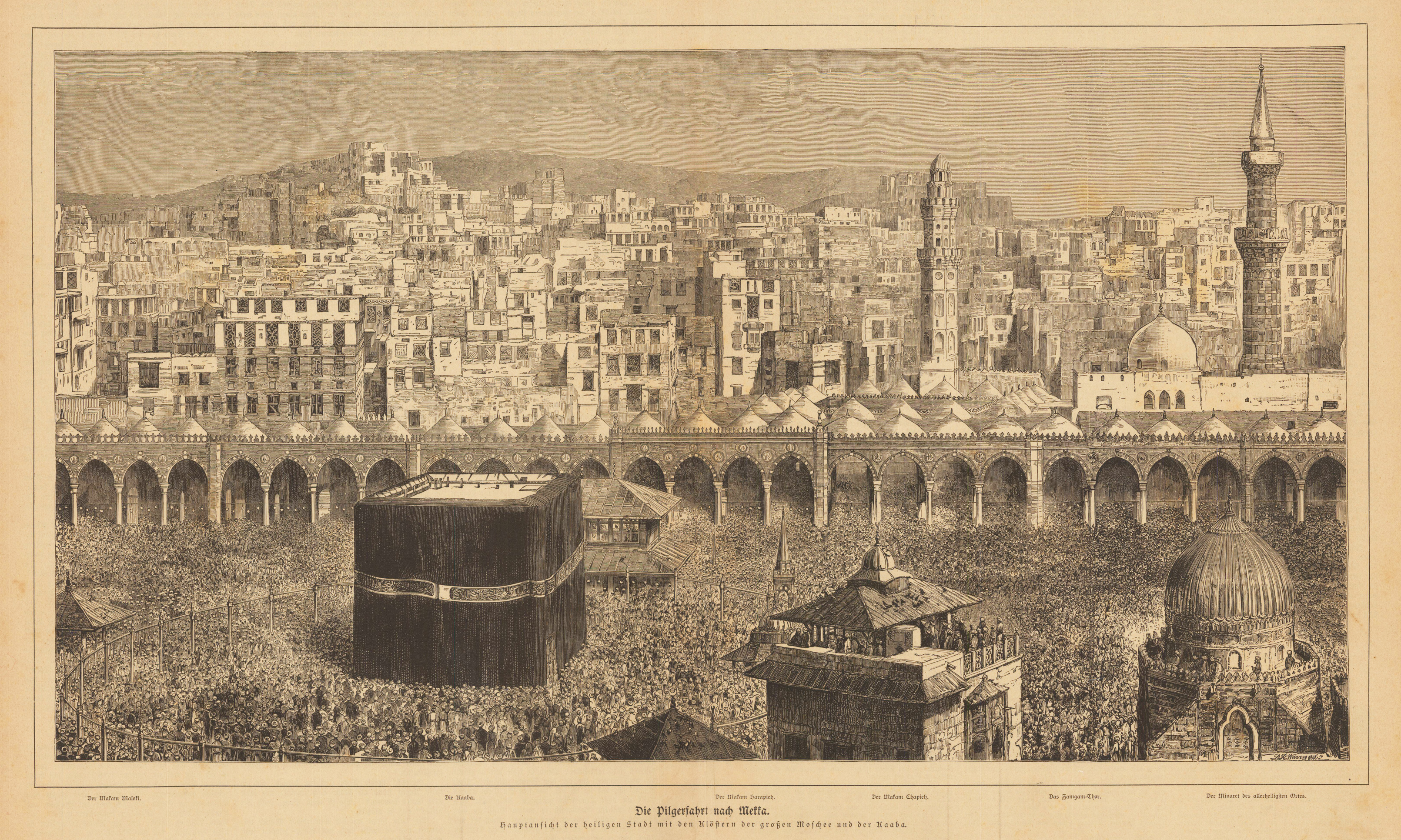
Original woodcut, uncolored when published. The city of Mecca is portrayed during the Hajj. In the foreground are thousands of pilgrims who have to walk the Kaaba seven times in a clockwise direction. In the background the houses and minarets of the city.
Copper engraving, hand colored in outline and wash. A fine detailed and interesting map engraved by Bellin after earlier voyages. Published in the French edition by of Bellin's travel books. The decorative antique map depicts a bird's eye view of the Island of Hormuz in the Persian Gulf. Its shows the old city with the king's palace, gardens, the fortifications and the city.
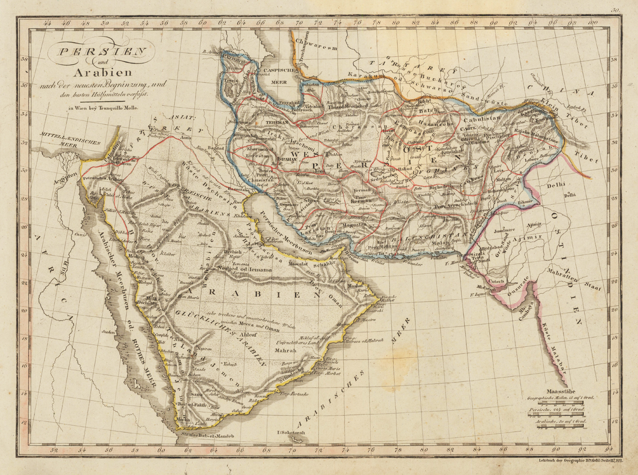
Original copper engraving, hand colored in outline when published. This detailed old map depicts in the center the Persian Gulf, covers also the Indian Ocean towards the Nile Valley and from the straits of Bab-el-Mandeb to the Caspian Sea. It covers the modern day countries of Kuwait, Iran, Afghanistan, Pakistan, Iraq, Saudi Arabia, Yemen, Oman, United Arab Emirates and Jordan. The desert regions are very detailed engraved. Published between 1817-23 in an atlas of the publishing house Tranquillo Mollo in Vienna. Tranquillo Maria Laurentio Mollo (August 10, 1767 - March 29, 1837) was Vienna based Swiss/Italian graphic designer, printer, art and music dealer, and publisher active in the late 18th and early 20th centuries. From about 1792 Mollo worked with the Vienna firm Artaria and Company. In 1798 he separated from Artaria to found, along with partner Franz Bernardini, his own music, art, and map publishing company, T. Mollo and Co. The partner collapsed after one year and Mollo took a new partner, Domenico Artaria, a scion of the Artaria family. In 1802 Mollo and Domenico acquired Artaria and Company from Carlo Artaria. Domenico and Mollo parted ways in 1804, after which Mollo published independently. Under his own imprint, he became one of Austria's most important globe and map publishers. He collaborated extensively with English and French publishers to bring French material to his work. Among his more significant collaborators was the Vienna publisher Joseph Dirwaldt. In 1832 Mollo passed the company to his sons, Eduard (1799-1842) and Florian Mollo (1803-1869). The Mollo brothers ran the business until 1839, three years after Tranquillo Mollo's death, before dividing the concern into separate business. Mollo married Dorothea Defelavis († 29. Juli 1822). (Wikipedia)