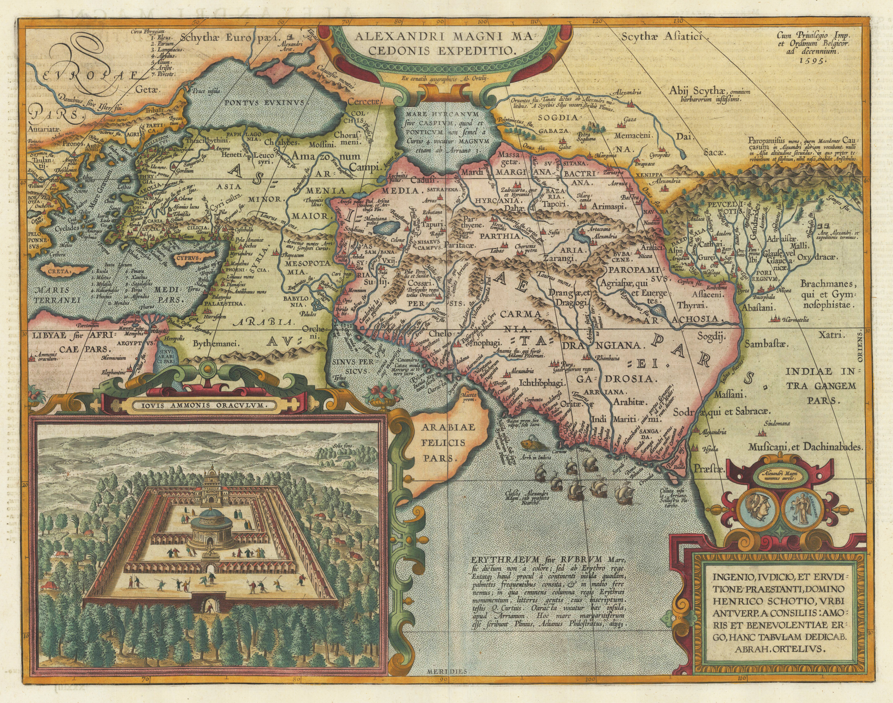
Original copper engraving, published 1612 in the famous historical atlas "Parergon" (Latin text-edition) by Abraham Ortelius. Finely later hand colored in wash and outline. Abraham Ortelius's historical map depicting the expedition of Alexander the Great with the inset view of the temple of Jupiter Amman, situated in present day in Libya, where Alexander the Great went to ask what would be the result of his expedition. The geographical sources of this map is based on various classical authors: Archelaus, Diogenes, Plinius, Ptolemy, Livius and Plutarch. This highly decorative and interessting historical map shows the Eastern Mediterranean Sea, the Middle East and Persia towards the neighbouring India. The fleet of Alexander the Great nicely engraved in the northern part of the Indian Ocean together with a small sea monster. Historical place names, rivers and mountain chains are engraved on the antique map. Lower right corner with a text cartouche with a dedication to Abraham Ortelius and above ornated with a coin showing a portrait of Alexander the Great. The map is ornated with two cartouches, on top in the middle the title cartouche, on the lower right side the decorative text cartouche and the ,priviliegium' with the date ,1595' in the upper right corner. In the lower left corner we find an inset showing the oracle of Jupiter Amman. Villages and towns are shown as miniature views. The map was published for the first time in 1595 in the edition of the ,Theatrum Orbis Terrarum' and was published until 1624 in the atlas ,Parergon' by A. Ortelius.
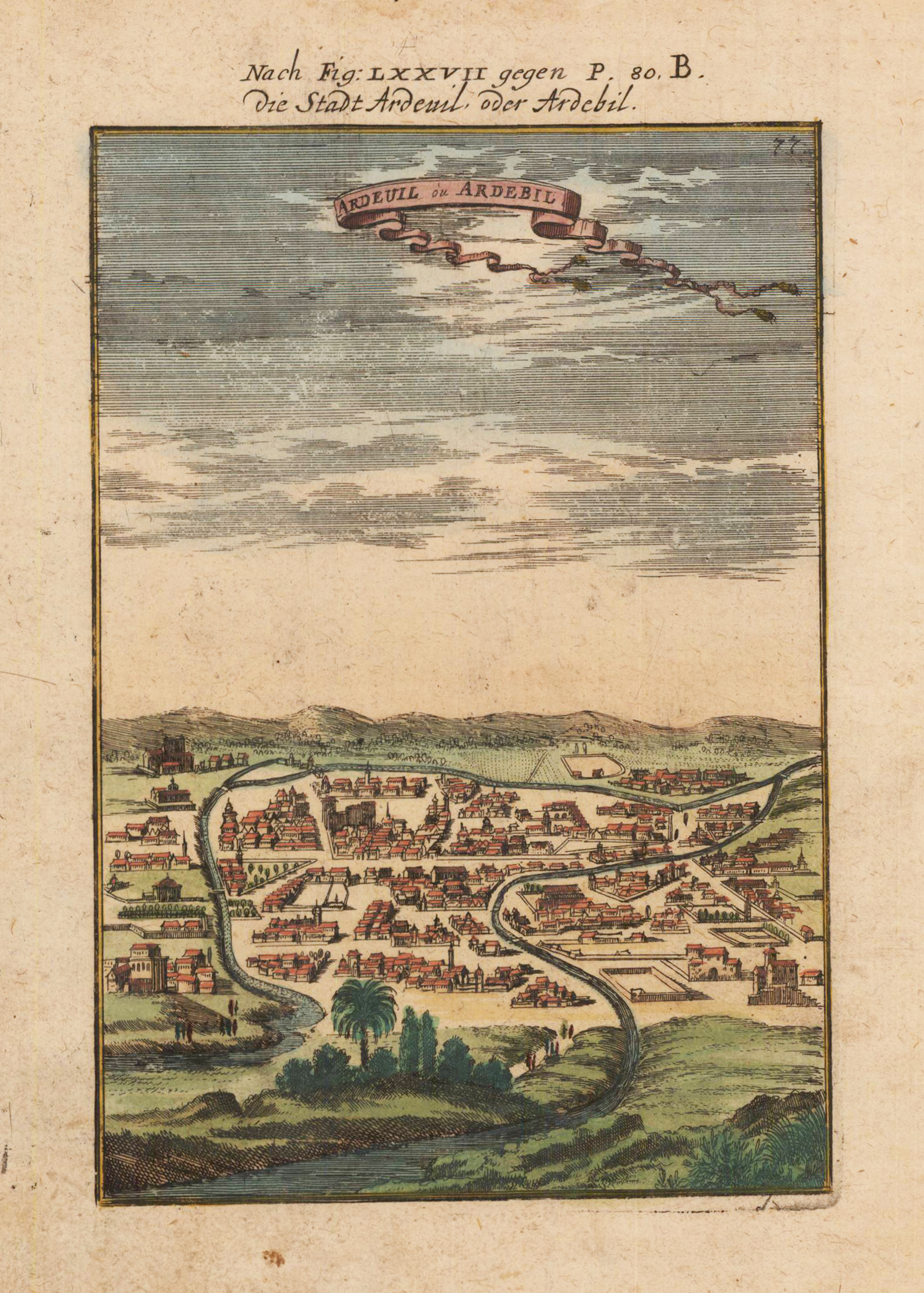
Copper engraving, hand colored in outline and wash. This is a rare 1719 Manesson Mallet engraving of "Ardeuil ou Ardebil", from "Beschreibung des rohen Welt Kreises...", a German translation of the gavel of the "Description de L'Univers." Alain Manesson Mallet (1630-1706) was a French cartographer and engineer. He started his career as a soldier in the army of Louis XIV, became a Sergeant-Major in the artillery and an Inspector of Fortifications. He also served under the King of Portugal, before returning to France, and his appointment to the court of Louis XIV. His military engineering and mathematical background led to his position teaching mathematics at court. [1] His major publications were 'Description de L'Univers' (1683) in 5 volumes, and 'Les Travaux de Mars ou l'Art de la Guerre' (1684) in 3 volumes. His 'Description de L'Universe' contains a wide variety of information, including star maps, maps of the ancient and modern world, and a synopsis of the customs, religion and government of the many nations included in his text. It has been suggested that his background as a teacher led to his being concerned with entertaining his readers. This concern manifests itself in the charming harbor scenes and rural landscapes that he included beneath his description of astronomical concepts and diagrams. Mallet himself drew most of the figures that were engraved for this book.
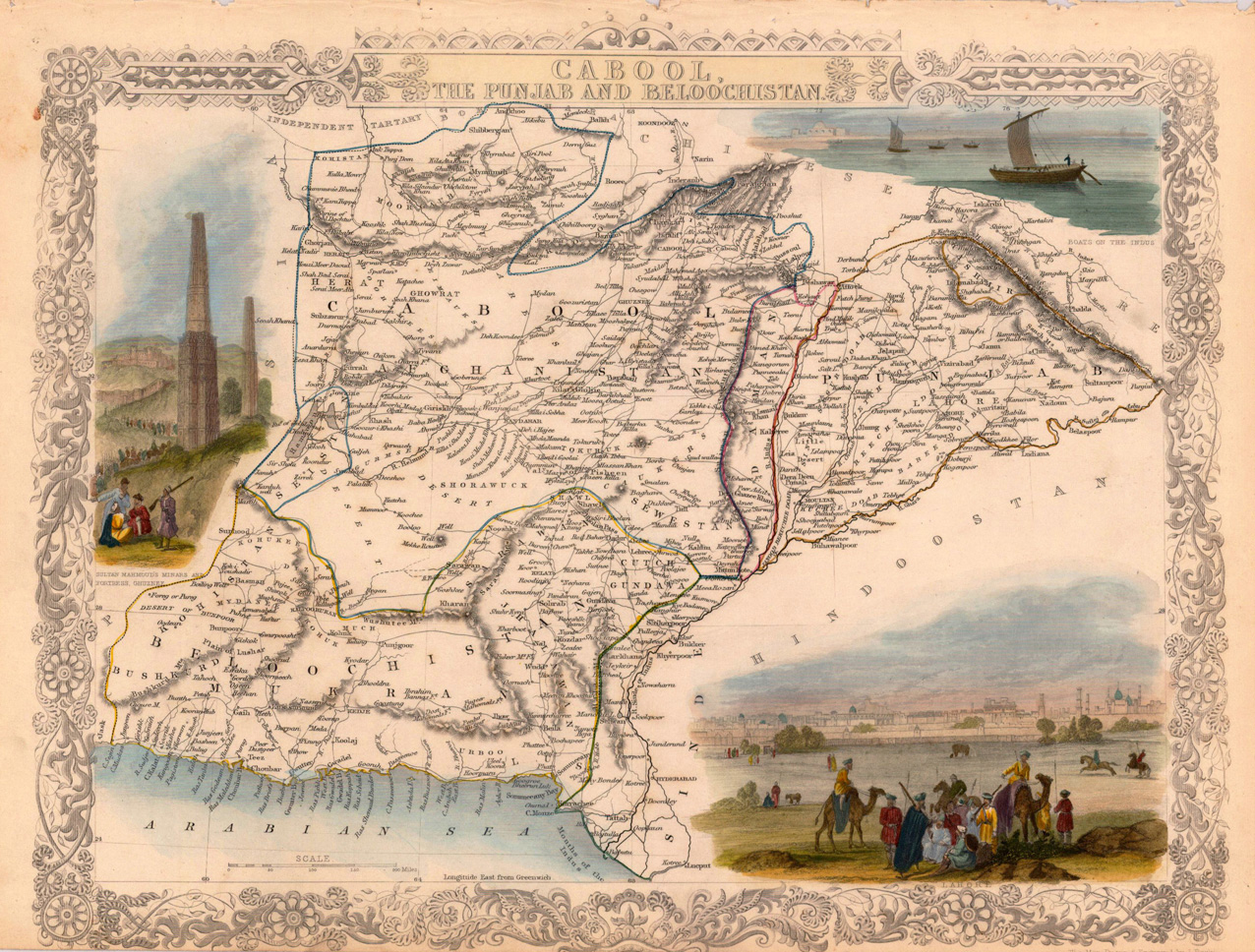
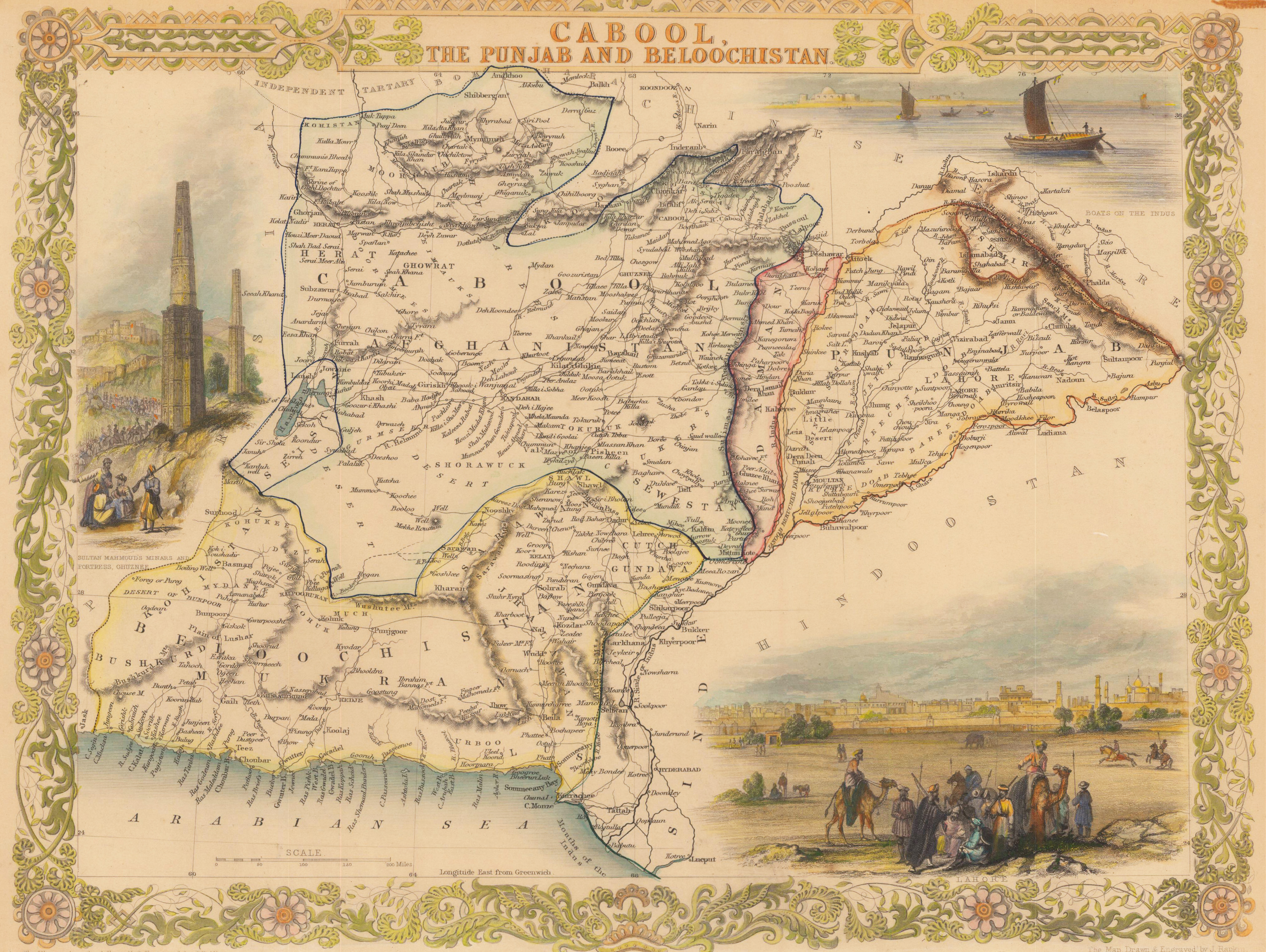
Original antique steel engraving, hand colored in outline and wash. Original steel engraved map of Afghanistan and today's Pakistan. Accompanied by vignette scenes of Lahore, the Minars and Sultan Mahmoud's fortress at Ghuznee and the boats on the Indus. Decorative scrolls and title cartouches on the edges of the maps. John Tallis (7 November 1817 – 3 June 1876) was an English cartographic publisher. His company, John Tallis & Company, published views, maps and atlases in London from roughly 1838 to 1851. Tallis set up as a publisher with Frederick Tallis in Cripplegate in 1842; the business moved to Smithfield in 1846, and was dissolved in 1849. From 1851 to 1854 Tallis operated as John Tallis & Company. He started the Illustrated News of the World which issued engraved portraits as supplements in a series entitled 'National Portrait Gallery of eminent personages' in 1858, selling it for £1,370 in 1861; it folded in 1863. The series was subsequently republished in a number of separate volumes. He lived in New Cross, South East London. His house on New Cross Road is listed as a Building of Special Architectural or Historic Interest, grade II. It has a blue plaque on the wall to signal the event. (Wikipedia)
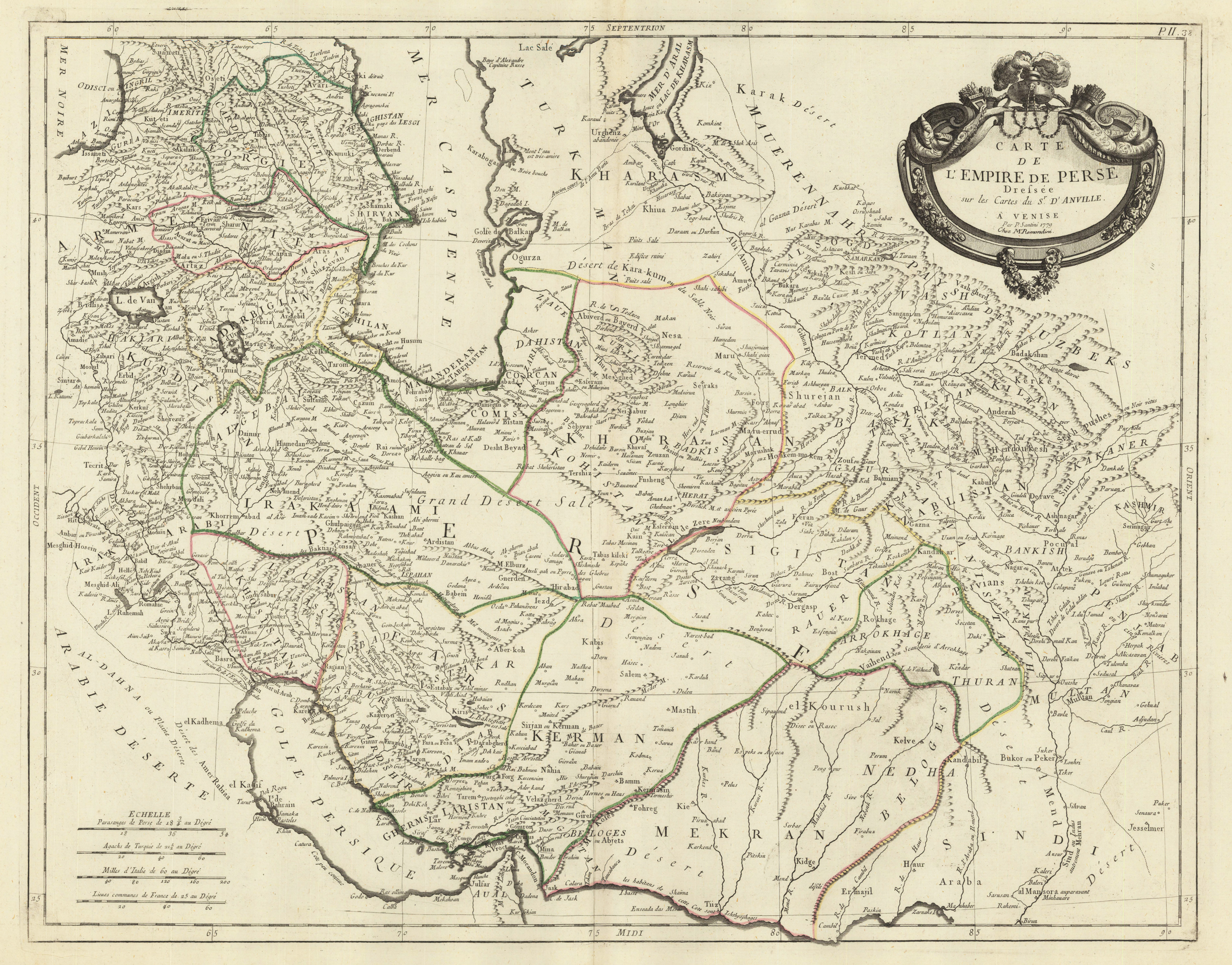
Copper engraving, hand colored in outline when published. Detailed antique map of the kingdom of Persia printed and published 1779. The map is based on Sr. Anville's map of Persia around 1750, published first in Paris, it was published here by P. Santini and M. Remondini 1779 in Venice. The detailed map depicts the kingdom of Persia with its individual regions including their political borders (engraved and in outline colors). The names of the regions are given on the map. Further place names, rivers, lakes, mountains, deserts, etc. are engraved. In the lowerr left corner a mileage scale with Persian, Turkish, Italian and French miles.
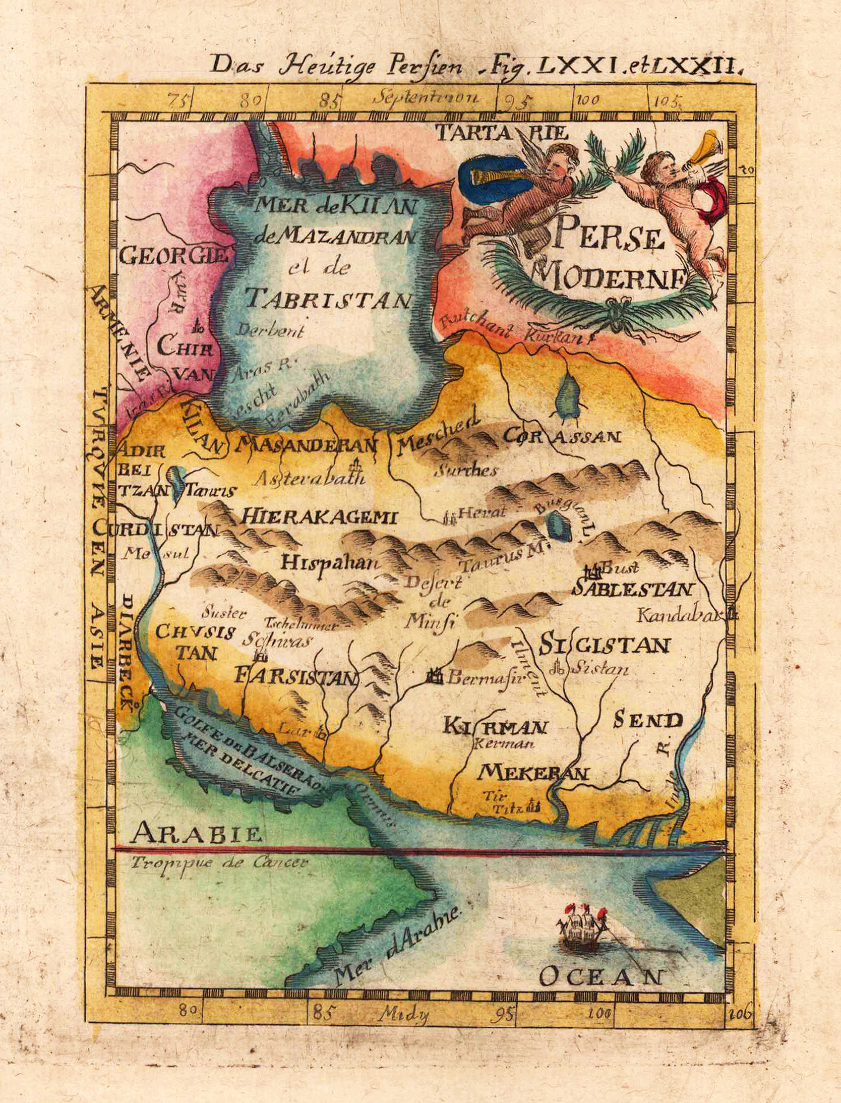
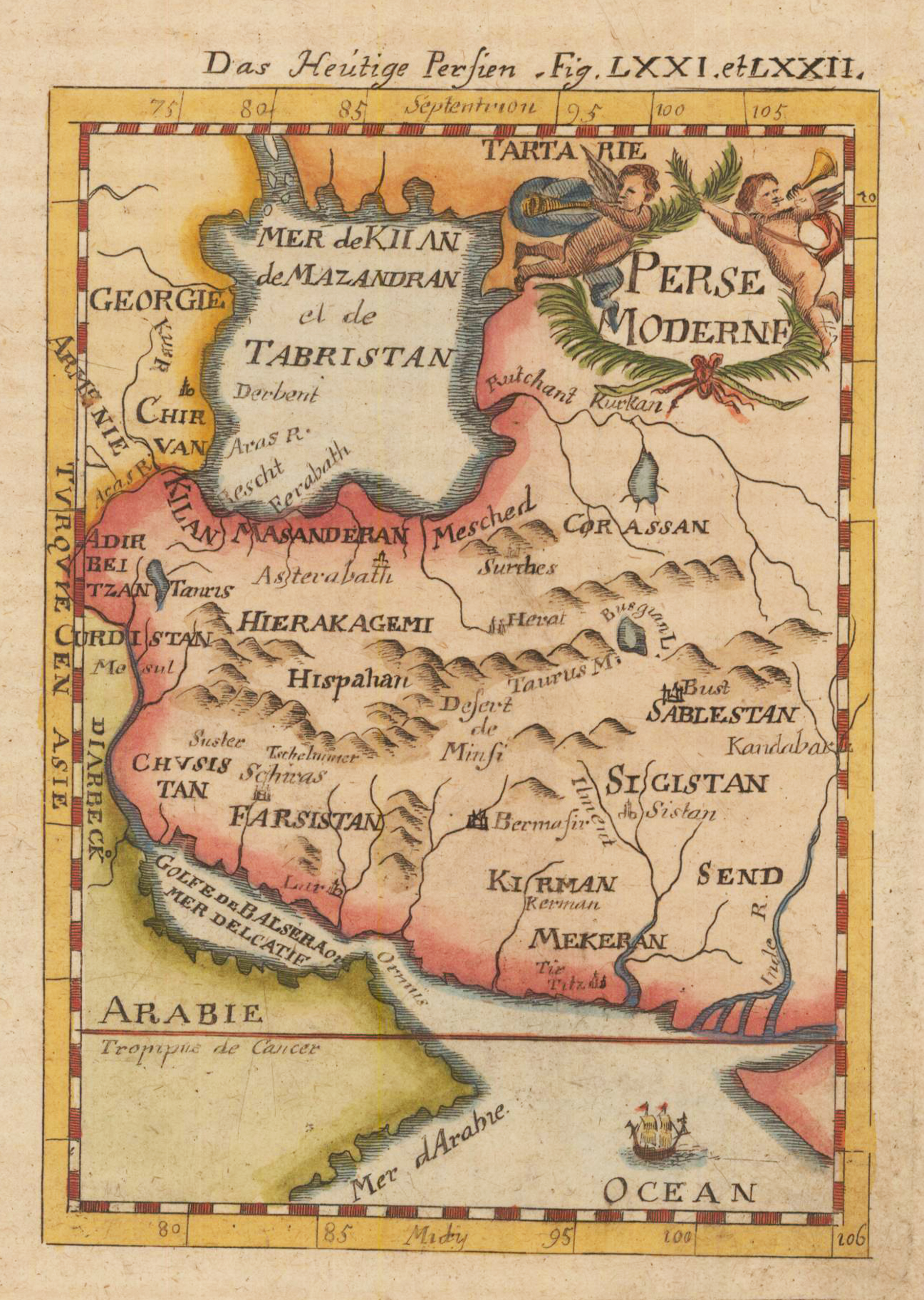
Copper engraving, hand colored in wash and outline. This decorative print shows the kingdom of Persia, includes the Arabian Gulf, Ormus, and extends northwards to Georgia and Armenia. Cartouche at top right features two cherubs blowing trumpets, sailing ship in the Indian Ocean.
.
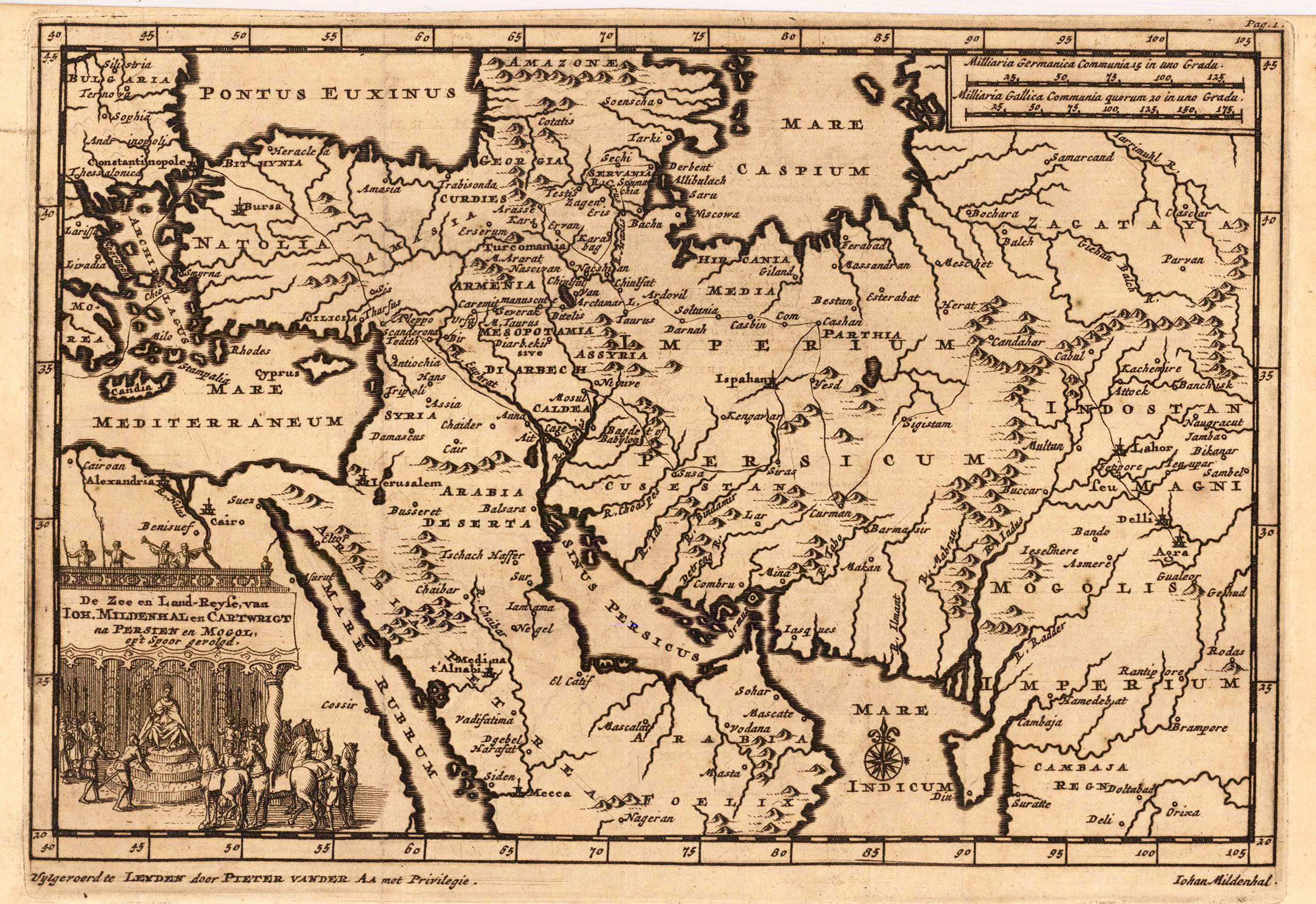
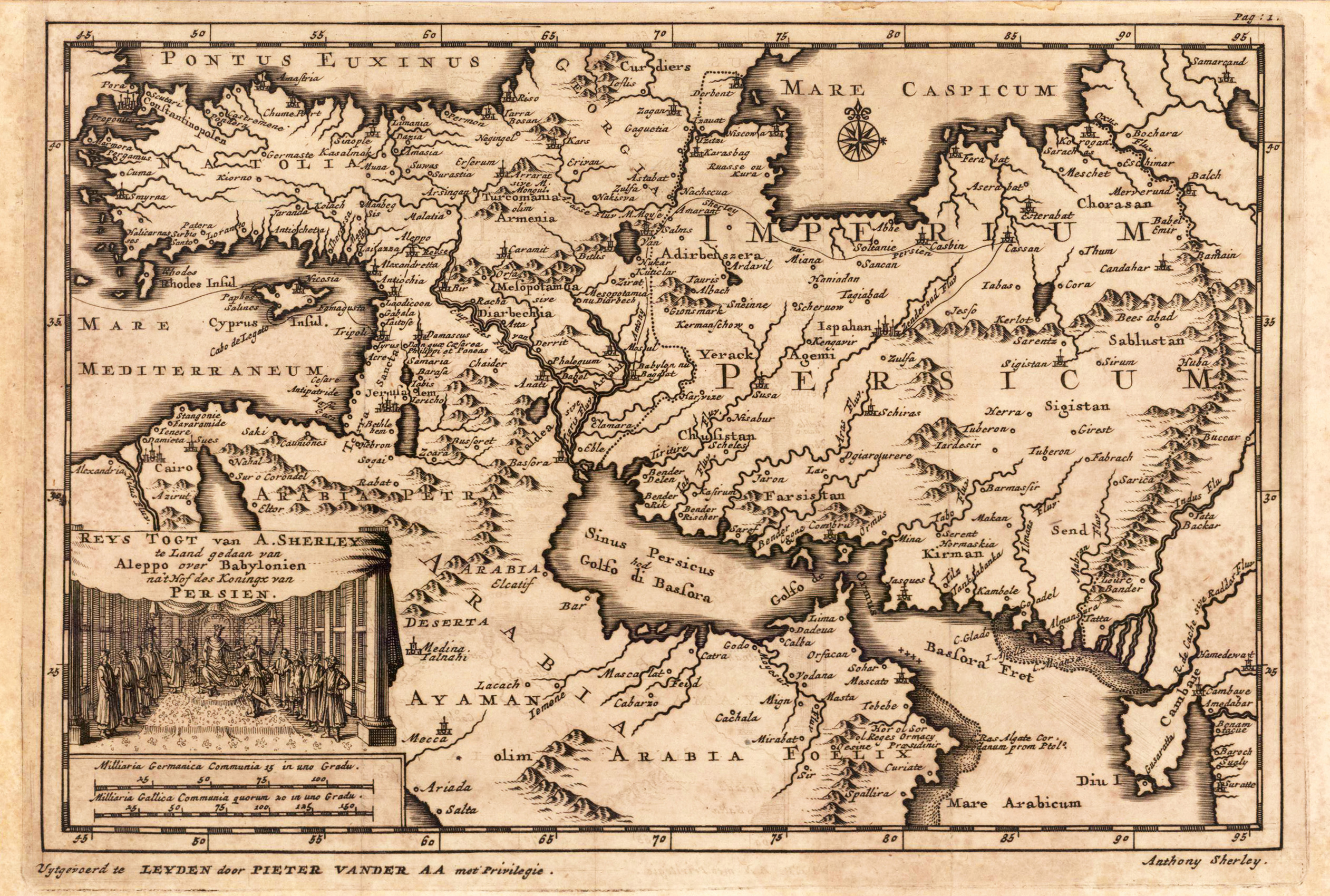
Original copper engraving, uncoloured as published. The famous Dutch publisher and mapmaker Pieter Van der Aa (1659 Leiden - 1733 Leiden) published during the period 1882-1733, an enormous quantity of printed matter (Koeman). This map was actually published in the first edition of his travelbooks Naauwkeurige versameling der gedenk-waardigste zee en landreysen na Oost en West-Indien, in Leiden 1706-08.
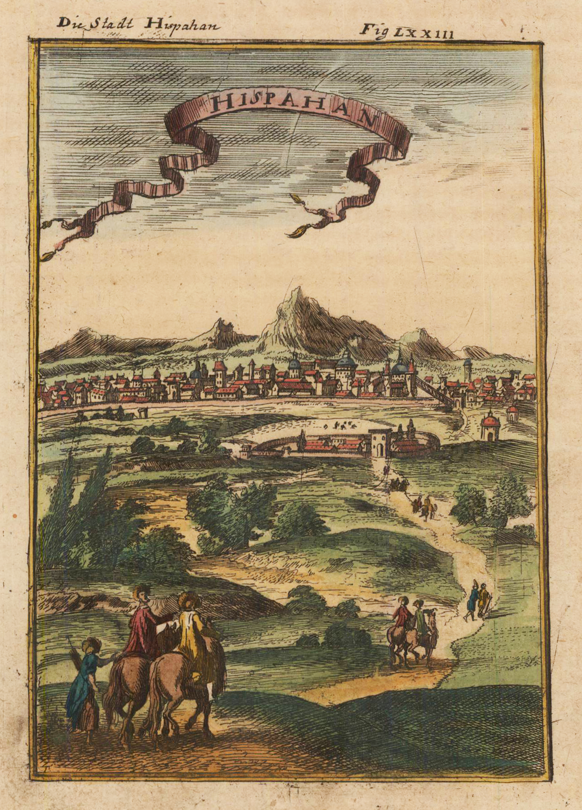
Copper engraving, hand colored in outline and wash. A decorative print depicting Isfahan the capital of Isfahan province, located about 200 miles south of Tehran and is Iran's third largest city. An interesting early city view of Isfahan.
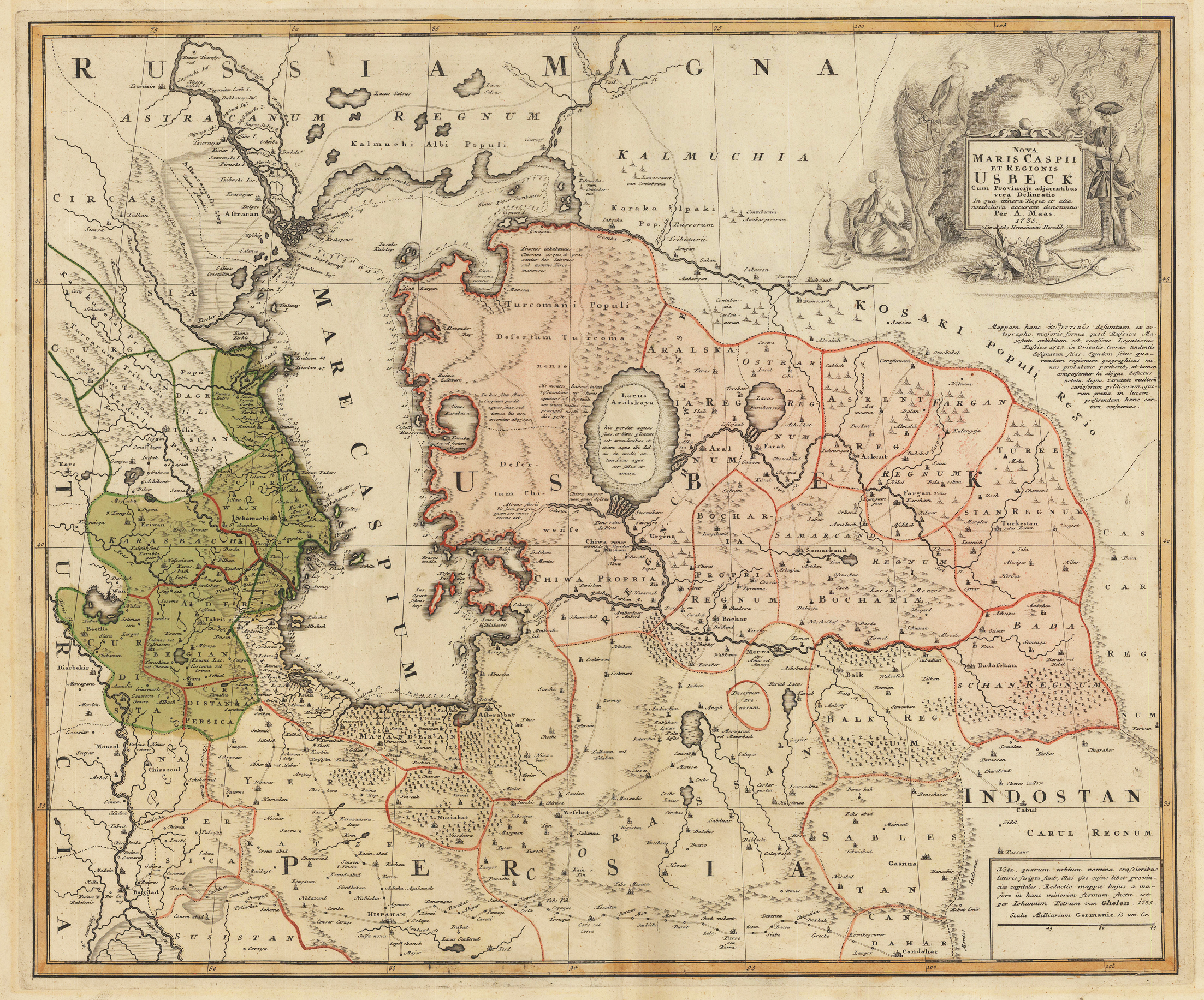
Copper engraving hand colored in outline and wash when published. This fine antique map depicts the Caspian Sea and Usbestian around 1735. Published in the famous German printing house Homann Heirs in Nürnberg. This rare map depicts also Northern Persia and shows the ,Silk Road' towards Isphahan in Peria, Isphahan, Astrakan, Bokhara, Merwa, Balk, Cabul, Samarkand and other old trading places. Usbeckistan ist shown highly detailed on the old map with the Aral Sea in its centre. The Aral Sea is lying between Kazakhstan in the north and Uzbekistan in the south. Further the maps shows an enormous amount of place names, mountains, rivers, lakes, trade routes, etc. Central Asia with the Caspian Sea, Usbeckistan and northern Persia. Shows the trade routes (Silk Road) and the cities Isphahan, Astrakan, Cabul, Bokhara, Samarkand etc.
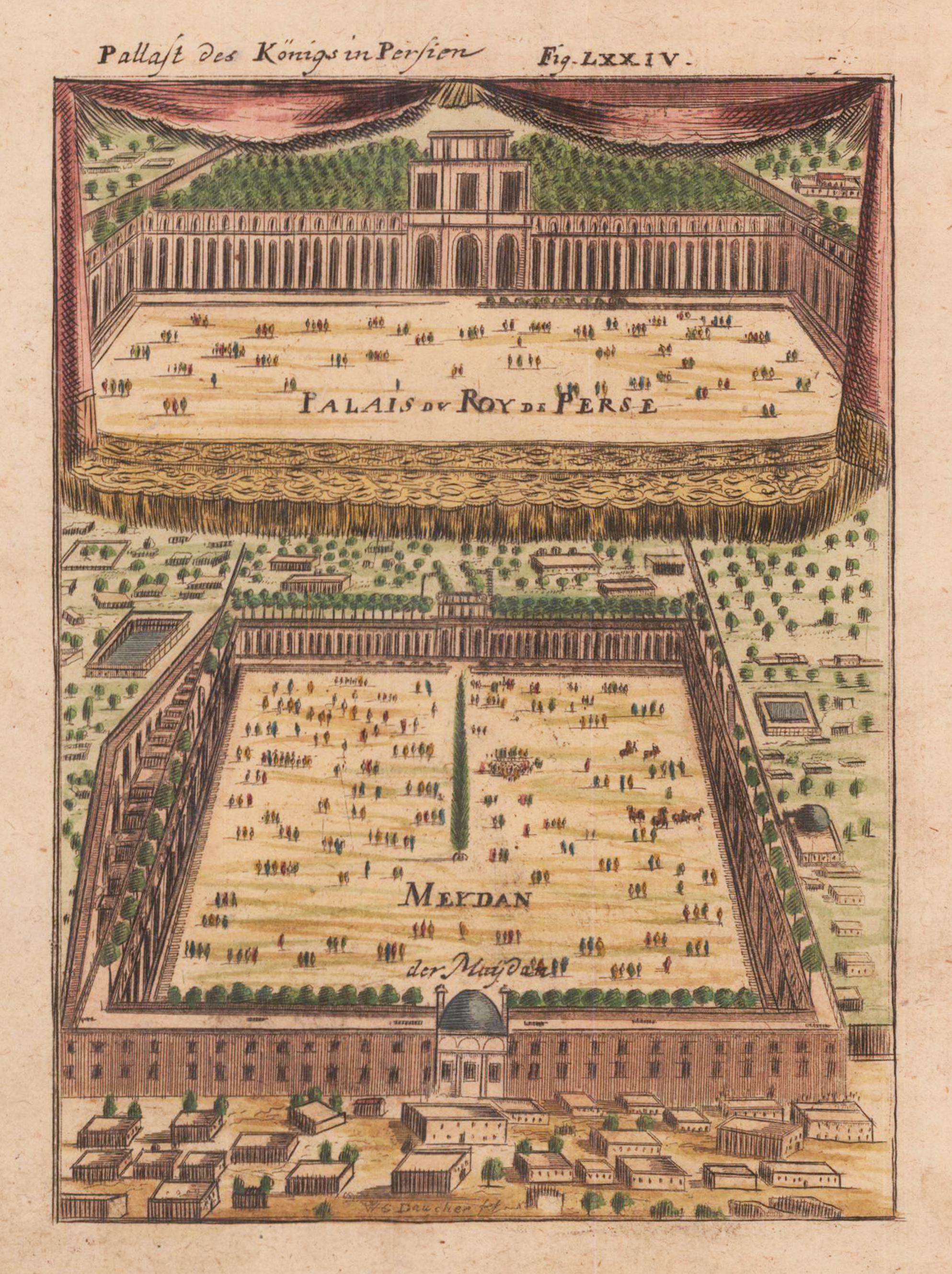
Copper engraving, hand colored in outline and wash. This is a rare 1719 Manesson Mallet engraving of "Pallast des Königs in Persien", from "Beschreibung des rohen Welt Kreises...", a German translation of the gavel of the "Description de L'Univers." Alain Manesson Mallet (1630-1706) was a French cartographer and engineer. He started his career as a soldier in the army of Louis XIV, became a Sergeant-Major in the artillery and an Inspector of Fortifications. He also served under the King of Portugal, before returning to France, and his appointment to the court of Louis XIV. His military engineering and mathematical background led to his position teaching mathematics at court. [1] His major publications were 'Description de L'Univers' (1683) in 5 volumes, and 'Les Travaux de Mars ou l'Art de la Guerre' (1684) in 3 volumes. His 'Description de L'Universe' contains a wide variety of information, including star maps, maps of the ancient and modern world, and a synopsis of the customs, religion and government of the many nations included in his text. It has been suggested that his background as a teacher led to his being concerned with entertaining his readers. This concern manifests itself in the charming harbor scenes and rural landscapes that he included beneath his description of astronomical concepts and diagrams. Mallet himself drew most of the figures that were engraved for this book.
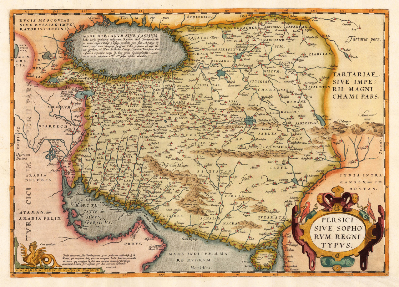
Original copper engraving, finely hand colored in wash and outline, published 1574-75 in a Latin text edition of the Atlas ,Theatrum Orbis Terrarum' at Christopher Platin in Antwerp. A highly decorative and early map of Persia by the famous cartographer and mapmaker Abraham Ortelius based on Gastaldi's map of 'Asia Minor' of 1564. The early map here is present in a strong impression, ornated with a beautiful renaissance text cartouche and an ornated mileage scale at the bottom.
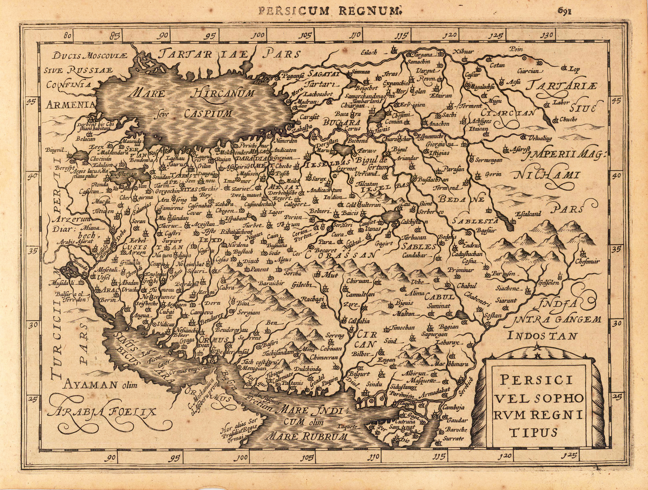
Copper engraving, uncolored as published. A fine copy in a dark impression, full margins as published. This is the first so-called Cloppenburgh editions which was a competive edition with new engraved maps in a larger format. Most of the maps were engraved by Pieter van den Keere. The Cloppenburgh edition was continued for a couple of years but seems to have been suppressed after 1636 ... . This is another Cloppenburgh edition, now with Latin text. The maps from the Appendix have been incorporated. The title-page is followed by a dedication to Prince Frederik Hendrik, dated 1632 and signed by Johannes Cloppenburgh. (Koeman Atlantes Neerlandici).
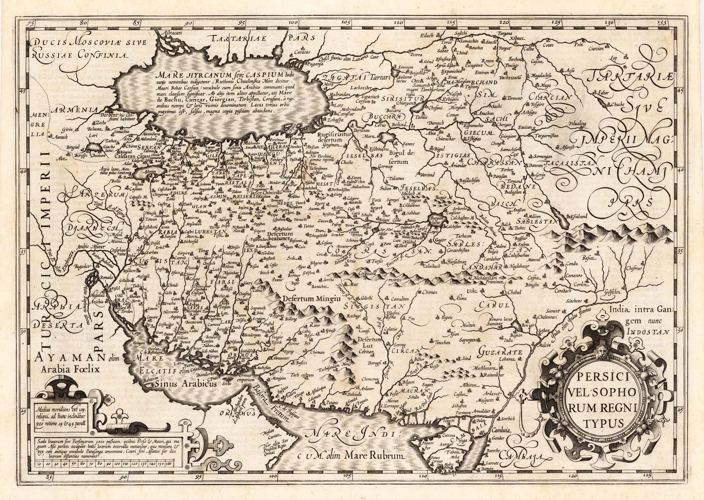
Copper engraving, uncolored as published. Published in the French text edition of the atlas by Gerard Mercator 1619 in Amsterdam. An early 17th century antique map depicting the kingdom of Persia around 1619. With many engraved place names, mountains, rivers, lakes, etc. The names of individual regiones are also given on the map. The map extends extends from the north with the Caspian Sea towards the strait of Hormuz and the Red Sea in the south. Equipped with a large decorative renaissance title cartouche and a cartouche with a mileage scale.
Original copper-engraving, uncoloured as published. The famous Dutch publisher and mapmaker Pieter Van der Aa (1659 Leiden - 1733 Leiden) published during the period 1882-1733, an enormous quantity of printed matter (Koeman). This map was actually published in the first edition of his travelbooks Naauwkeurige versameling der gedenk-waardigste zee en landreysen na Oost en West-Indien, in Leiden 1706-08.
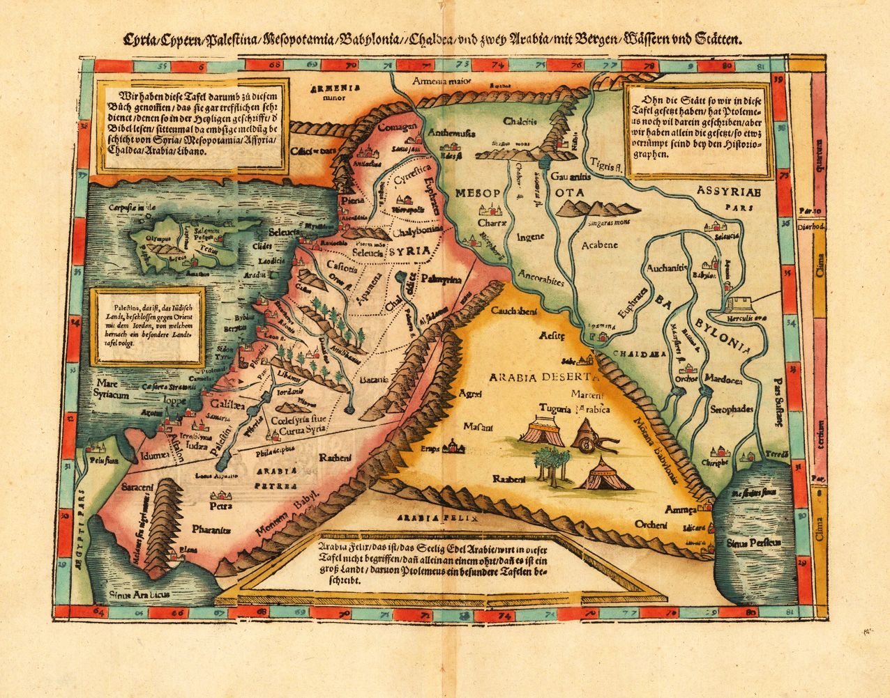
Woodcut map, finely hand colored in wash by a later hand. Verso illustrated with a decorative colored woodcut illustration.Woodcut map, finely hand colored in wash by a later hand. Verso illustrated with a decorative colored woodcut illustration. A highly decorative woodcut map by famous mapmaker Sebastian Münster published 1578 in his Cosmographia in Basel at Heinrich Petri. The decorative woodcut bordures verso.
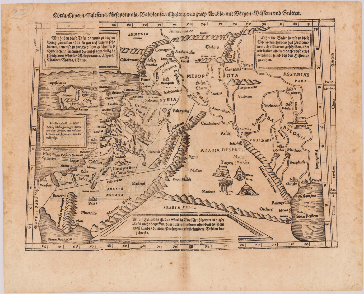
Woodcut map, uncolored as published. Verso illustrated with a decorative woodcut illustration. German text edition. The map depicts the eastern part of the Mediterranean Sea with Cyprus, Palestine, Syria, the neighboring Armenia, as well Mesopotamia, Bablyonia and Arabia towards the gulf of Persia. With small schematic miniature views next to the larger place names on the map, rivers, lakes and mountain chains are also shown on the map. Tn the corners with four tables of explaining the map in German text. The map was cut and published in Sebastian Münster's Cosmographie after geographical and historical sources by Ptolemy. A decorative early woodcut map by the famous map maker Sebastian Münster, which was published and printed in his German text edition of the ,Cosmographia' in 1578 in Basel at Heinrich Petri. The decorative woodcut bordures verso were probably cut by the famous 16th century woodcutter Hans Holbein. Nearly none of these captivating woodcut borders by Holbein verso are repeating in Sebastian Münster's atlas, they are mainly shaped by allegoric scenes, coat of arms or wonderful initials.
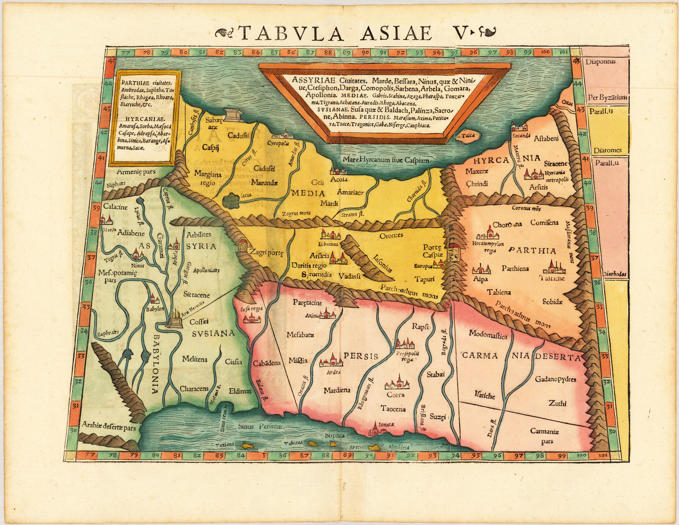
Woodcut map, finely hand colored in wash by a later hand. Verso illustrated with a decorative colored woodcut illustration. Woodcut map, finely hand colored in wash by a later hand. Verso illustrated with a decorative colored woodcut illustration. A highly decorative woodcut map by famous mapmaker Sebastian Münster published in his Ptolemy edition 1552 in Basel at Heinrich Petri. The decorative woodcut bordures verso were probably cut by the famous 16th century woodcutter Hans Holbein. Nearly none of the captivating woodcut borders verso are repeating, they are mainly shaped by allegoric scenes, coat of arms or wonderful initials. A rare and early mid 16th century woodcut map showing the region between the Caspian Sea and the Persian Gulf in the south. The map depicts in the north west parts of Armenia, further Persia, parts of the Iraq and the Arabian desert. The interesting woodcut map has still miniature city views as engraved woodcut silhouettes, also rivers and mountain chains are schematic shown. An interesting and beautiful map for the collector of rare maps of Central Asia and Persia.