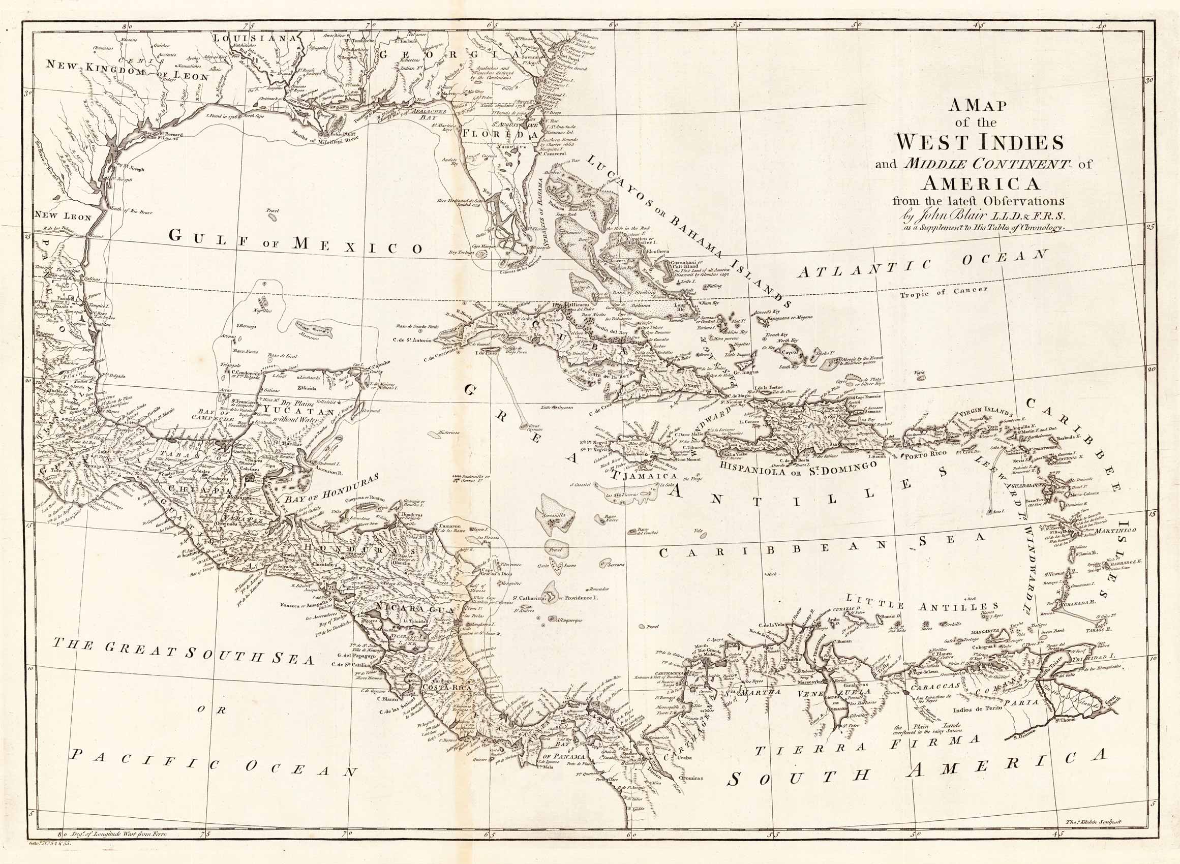
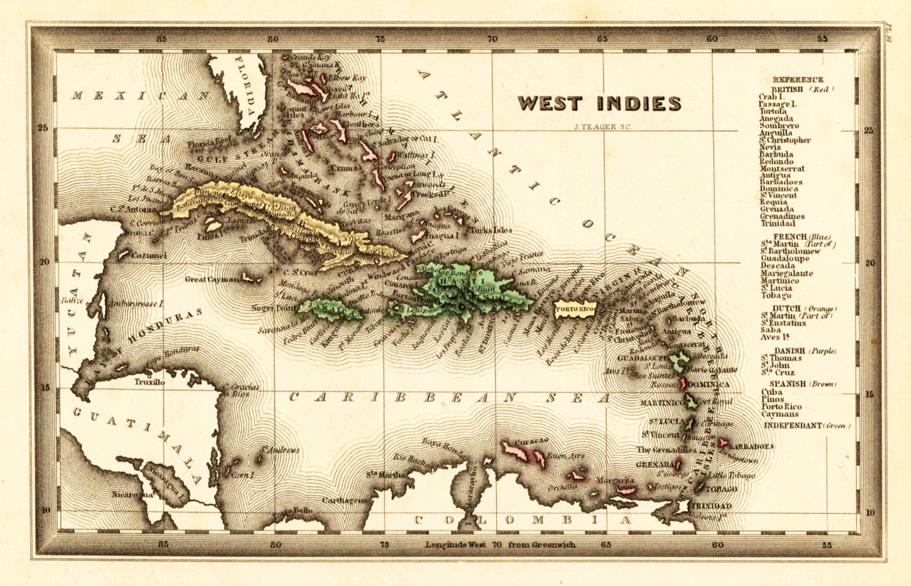
Copper engraving, uncolored, engraved by Thomas Kitchin. The map shows the West Indies, Florida, the Southern United States, the Golf of Mexico and Central America.
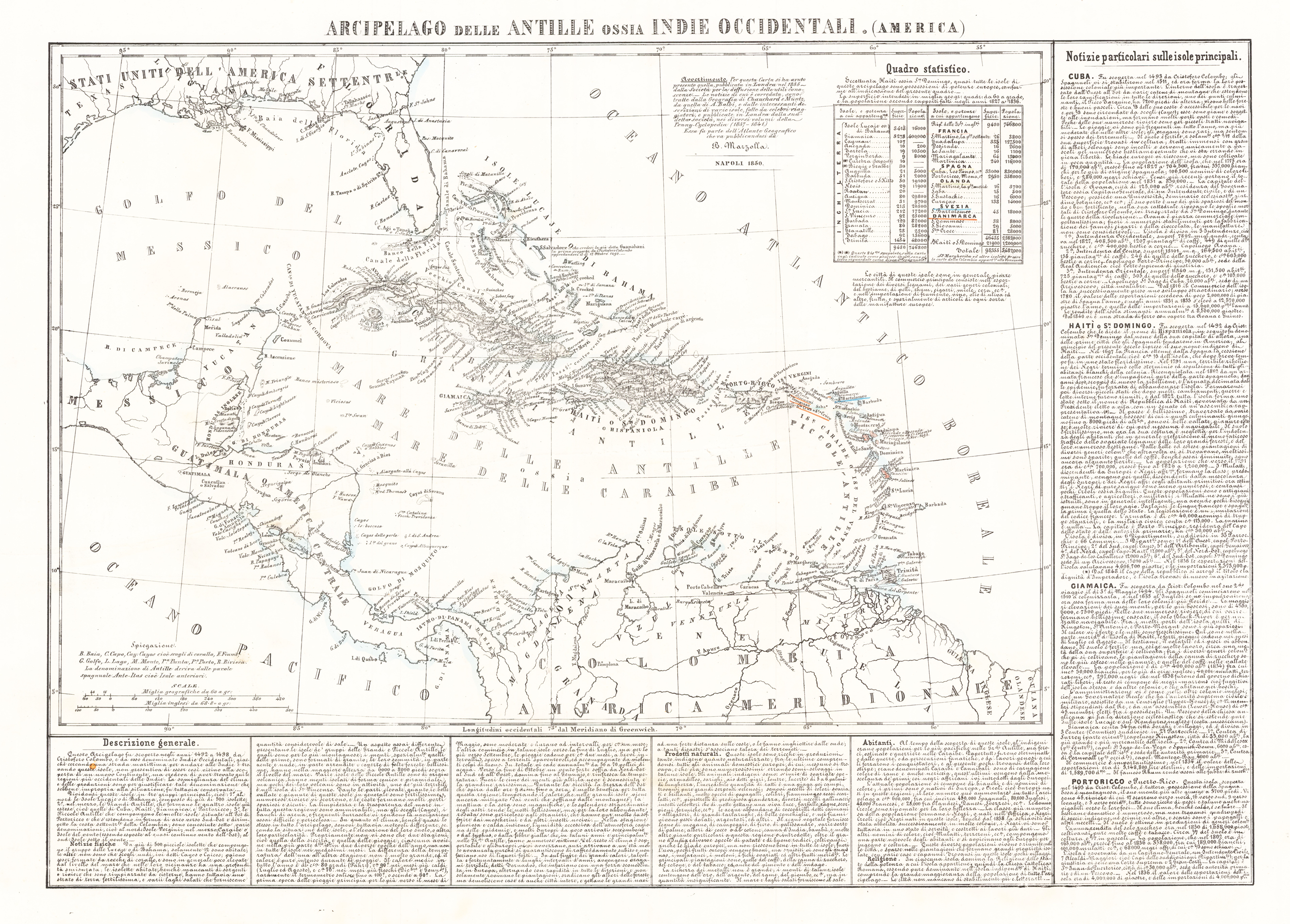
Lithograph, hand colored in outline when published. Geographical map from the "Geographical Atlas with Information on Physical and Political Geography..." published in Naples in 1854. Benedetto Marzolla is famous for being one of the most important cartographers of the 19th century as he was the one who printed geographical maps with high quality lithographs. His Atlante Geografico, consisting of 58 maps, presents finely sketched works. Six maps show North America, including the famous map of the gold diggers in California by Hippolite Ferry. Also extremely relevant are the maps of Antarctica, South Africa with the Cape Town plan and those of Australia. Although the maps are dated between 1843 and 1856, this 1858 edition, printed in Naples in the Stabilimento Geografico Strada San Carlo (founded by Marzolla himself), represents the last version of his atlas, the last before his death. A posthumous edition will appear in 1865. The atlas is quite rare, not actually listed at Phillips, British Library and OCLC. Valerio, Benedetto Marzolla Brindisino, 19th century European geographer and cartographer.
Copper engraving, hand colored in outline and wash when published. Original antique map of Florida, the Caribbean and the coasts of Central and South America.
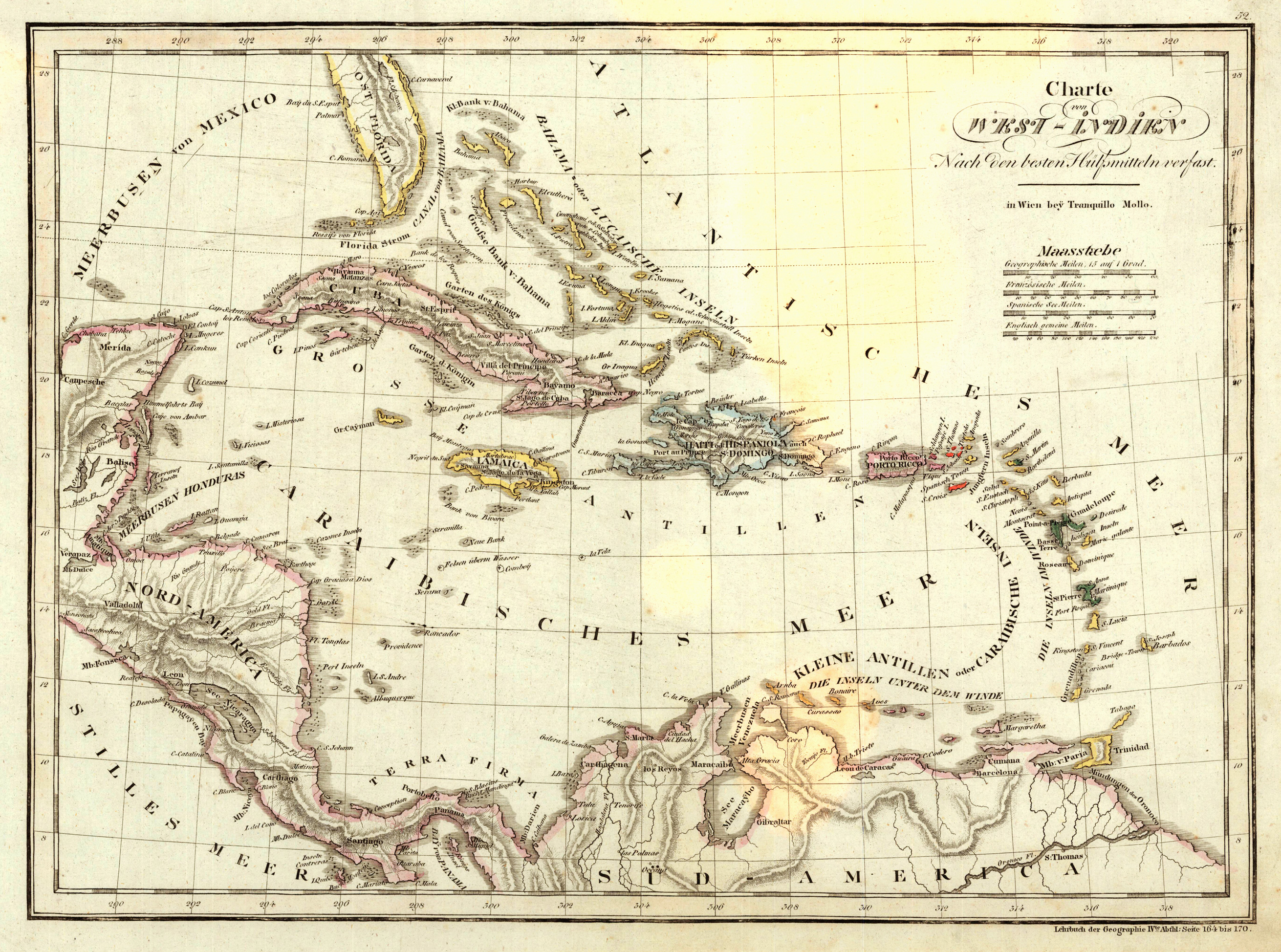
Copper engraving in contemporary original color in outline. Unusual map of the West Indies published by the Austrian cartographer and publisher Tranquillo Mollo in Vienna. The southern tip of Florida is shown with a few place names on the map, further on the Bahamas (Lucasian Islands) are pretty detailed engraved and most of the islands in the West Indies, shown on this map, are arranged on the map with detailed engraved names. The map itself encludes Central America with Nicaragua, Costa Rica and Panama. Venezuela is also shown on the map. Tranquillo Maria Laurentio Mollo (August 10, 1767 - March 29, 1837) was Vienna based Swiss/Italian graphic designer, printer, art and music dealer, and publisher active in the late 18th and early 20th centuries. From about 1792 Mollo worked with the Vienna firm Artaria and Company. In 1798 he separated from Artaria to found, along with partner Franz Bernardini, his own music, art, and map publishing company, T. Mollo and Co. The partner collapsed after one year and Mollo took a new partner, Domenico Artaria, a scion of the Artaria family. In 1802 Mollo and Domenico acquired Artaria and Company from Carlo Artaria. Domenico and Mollo parted ways in 1804, after which Mollo published independently. Under his own imprint, he became one of Austria's most important globe and map publishers. He collaborated extensively with English and French publishers to bring French material to his work. Among his more significant collaborators was the Vienna publisher Joseph Dirwaldt. In 1832 Mollo passed the company to his sons, Eduard (1799-1842) and Florian Mollo (1803-1869). The Mollo brothers ran the business until 1839, three years after Tranquillo Mollo's death, before dividing the concern into separate business. Mollo married Dorothea Defelavis († 29. Juli 1822). (Wikipedia)
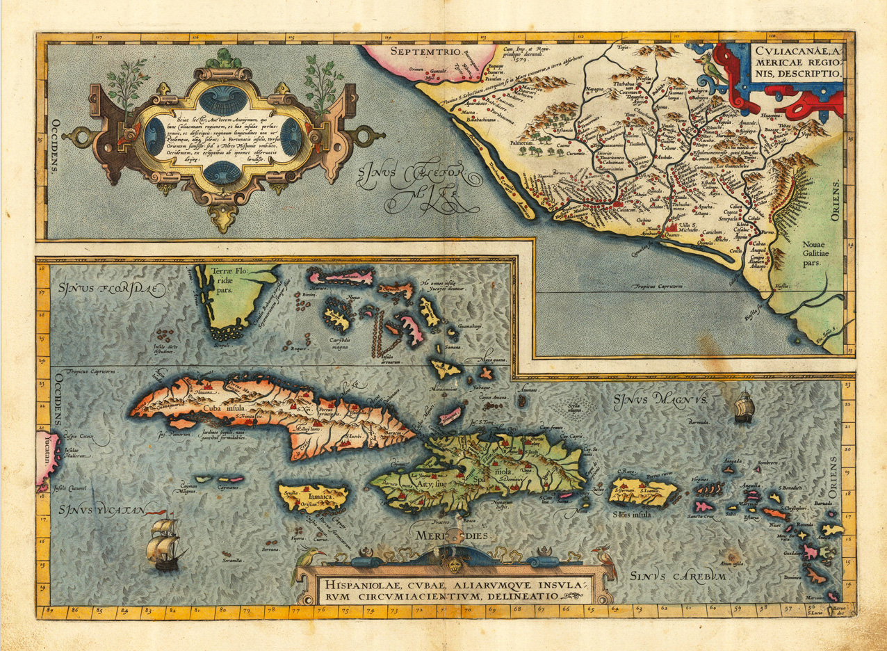
Original antique copper engraving, hand colored when published. First Spanish text edition 1588. This map was published 1588 in the first Spanish edition of the "Theatrum Orbis Terrarum". Finely hand colored in wash and outline, when published. The map is ornated with three cartouches, in the lower center the title cartouche, in the right upper corner another decorative ornated cartouche with the "privilegium". Villages and towns are shown as miniature views, moreover the map is ornated with ships and animals. Ortelius was born on 14 April 1527 in the city of Antwerp, which was then in the Habsburg Netherlands (modern-day Belgium). The Orthellius family were originally from Augsburg, a Free imperial city of the Holy Roman Empire. In 1535, the family had fallen under suspicion of Protestantism. Following the death of Ortelius's father, his uncle Jacobus van Meteren returned from religious exile in England to take care of Ortelius. Abraham remained close to his cousin Emanuel van Meteren, who would later move to London. In 1575 he was appointed geographer to the king of Spain, Philip II, on the recommendation of Arias Montanus, who vouched for his orthodoxy. He travelled extensively in Europe and is specifically known to have traveled throughout the Seventeen Provinces; in southern, western, northern, and eastern Germany (e.g., 1560, 1575–1576); France (1559–1560); England and Ireland (1576); and Italy (1578, and perhaps twice or thrice between 1550 and 1558). Beginning as a map-engraver, in 1547 he entered the Antwerp Guild of Saint Luke as an illuminator of maps. He supplemented his income trading in books, prints, and maps, and his journeys included yearly visits to the Frankfurt book and print fair, where he met Gerardus Mercator in 1554. In 1560, however, when travelling with Mercator to Trier, Lorraine, and Poitiers, he seems to have been attracted, largely by Mercator's influence, towards the career of a scientific geographer. (Wikipedia)
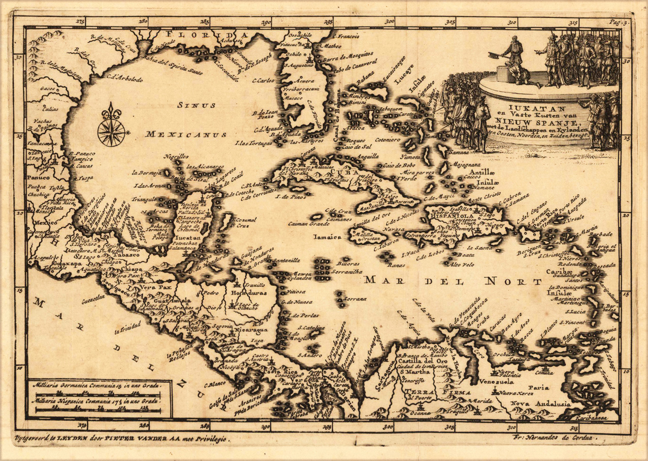
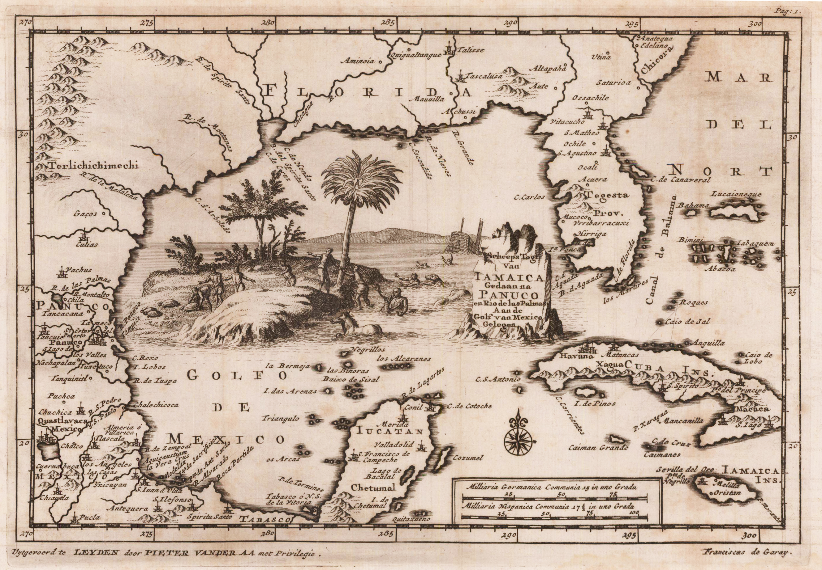
Original copper-engraving, uncoloured as published. The famous Dutch publisher and mapmaker Pieter Van der Aa (1659 Leiden - 1733 Leiden) published 'during the period 1882-1733, an enormous quantity of printed matter' (Koeman). This map was actually published in the first edition of his travelbooks 'Naauwkeurige versameling der gedenk-waardigste zee en landreysen na Oost en West-Indien', in Leiden 1706-08.
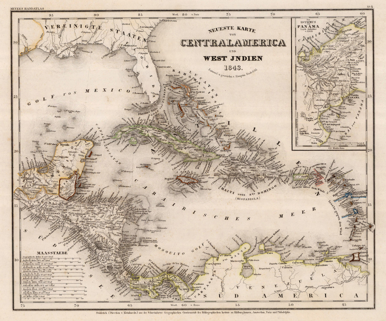
Steel engraving, hand colored in outline when published. A detailed map of the West Indies, Panama and Central America, published in the large and rare edition of the so-called 'Meyer's Zeitungsatlas' around 1843. The detailed map is equipped with many place names, rivers, mountains and boundaries, further in the upper right corner a small inset map showing the Isthmus of Panama based on Loyds sketch of 1829. In the lower left corner with various engraved mileage scales.
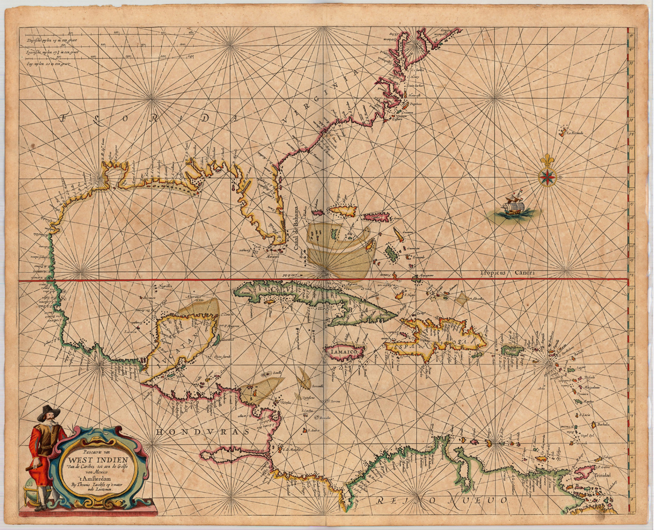
Copper engraving, finely hand colored in outline, when published. Partially heightened in gold. A highly decorative and important map showing Florida, the Eastern seaboard and the West Indies. The southern tip of Florida with the Tortugos islands and the Martinier islands. Along the eastern coast of Florida with some engraved capes and river names, among them Cape Canaveral. An important chart of this period showing the sea routes and explorations of the Spanish and Dutch during this period. This chart of the West Indies by Jacobsz Theunis was published in a Dutch composite sea atlas mainly with charts by Pieter Goos, who was 'one of the best known maritime booksellers of Amsterdam' (Koeman), he published a number of different sea-atlases or pilot books, his work was very much derivative. With his 'Zee-Atlas' he relied heavily on Hendrick Doncker's 'Zee-Atlas' of 1659. Our example of this sea chart 'Pascaerte van West Indien ...' by the Lootsman (Anthony Iacobsen) Family was published in an early composit sea atlas probably around 1665/66. This map is printed on excellent thick double paper, it stands out through the highly decorative hand colors and the partially heightening of gold in title cartouches, mileage scales, compass roses or other places.
Original copper-engraving, uncoloured as published. A fine engraved map showing the southeastern part of Northamerica with Florida and the gulf of Mexico towards Panuco in the West and the Yucatan peninsula in the South. The map includes further Cuba, Jamaica and the Bahamas. In the centre of the map, actually engraved into the gulf of Mexico, this antique map is equipped with a highly decorative allegoric scene with a shipwreck and its survivors climbing on a small island next to the title cartouche. The famous Dutch publisher and mapmaker Pieter Van der Aa (1659 Leiden - 1733 Leiden) published during the period 1682-1733, an enormous quantity of printed matter (Koeman). This map was actually published in the first edition of his travelbooks ,Naauwkeurige versameling der gedenk-waardigste zee en landreysen na Oost en West-Indien', in Leiden 1706-08.