
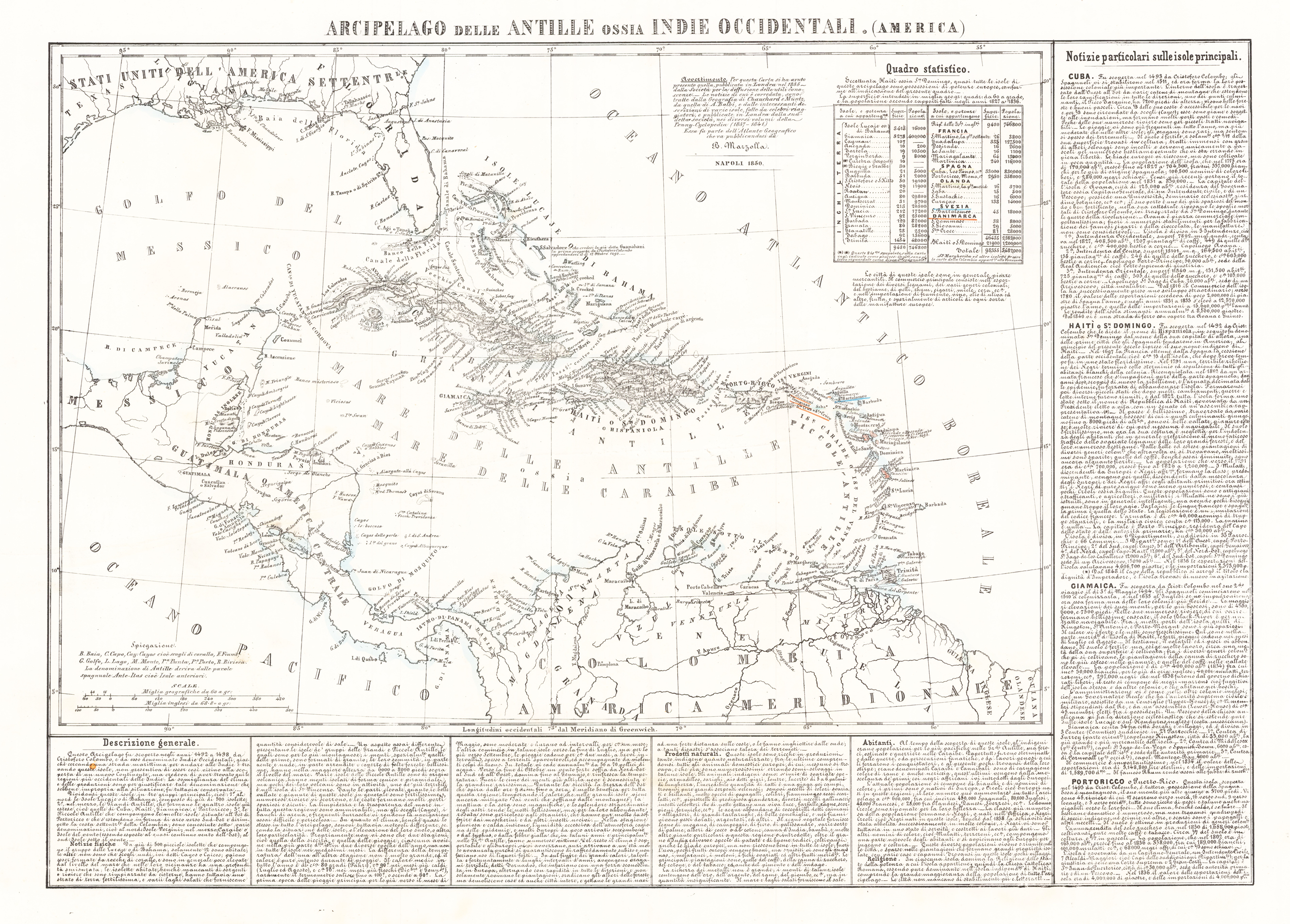
Arcipelago delle Antille ossia Indiae Occidentali. (America)
Lithograph, hand colored in outline when published. Geographical map from the "Geographical Atlas with Information on Physical and Political Geography..." published in Naples in 1854. Benedetto Marzolla is famous for being one of the most important cartographers of the 19th century as he was the one who printed geographical maps with high quality lithographs. His Atlante Geografico, consisting of 58 maps, presents finely sketched works. Six maps show North America, including the famous map of the gold diggers in California by Hippolite Ferry. Also extremely relevant are the maps of Antarctica, South Africa with the Cape Town plan and those of Australia. Although the maps are dated between 1843 and 1856, this 1858 edition, printed in Naples in the Stabilimento Geografico Strada San Carlo (founded by Marzolla himself), represents the last version of his atlas, the last before his death. A posthumous edition will appear in 1865. The atlas is quite rare, not actually listed at Phillips, British Library and OCLC. Valerio, Benedetto Marzolla Brindisino, 19th century European geographer and cartographer.
| Category: | California |
|---|---|
| Issue date: | 1856 |
| Published place: | Naples |
| Technique: | Lithograph / Original color |
| Type: | map |