
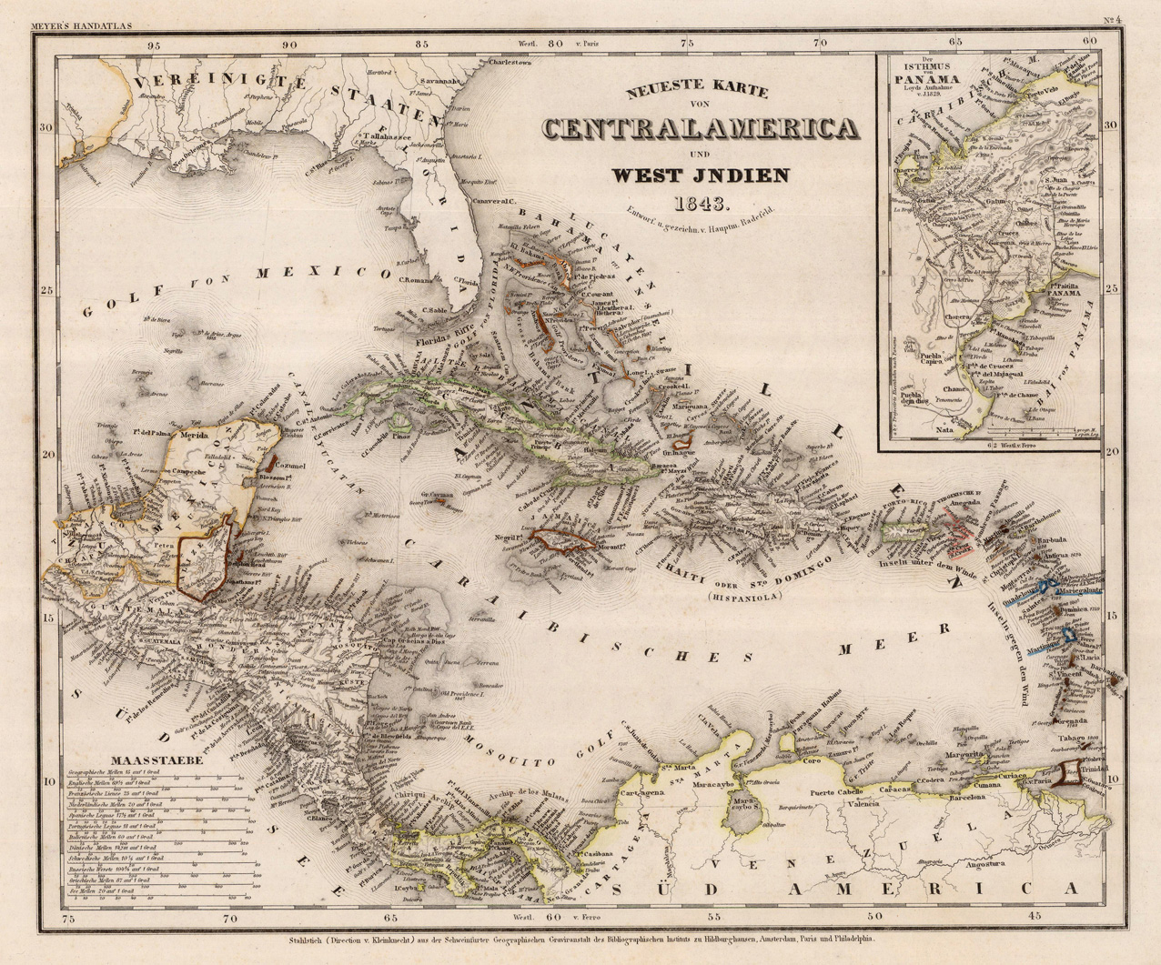
Neueste Karte von Centralamerica und West Indien. Entworf. u. gezeichn. v. Hauptm. Radefeld. 1843.
Product information: Neueste Karte von Centralamerica und West Indien. Entworf. u. gezeichn. v. Hauptm. Radefeld. 1843.
Steel engraving, hand colored in outline when published. A detailed map of the West Indies, Panama and Central America, published in the large and rare edition of the so-called 'Meyer's Zeitungsatlas' around 1843. The detailed map is equipped with many place names, rivers, mountains and boundaries, further in the upper right corner a small inset map showing the Isthmus of Panama based on Loyds sketch of 1829. In the lower left corner with various engraved mileage scales.
Properties
| Category: | Central America, Panama & West Indies |
|---|---|
| Issue date: | 1843 |
| Published place: | Hildburghausen |
| Publisher: | Meyer |
| Technique: | Steel engraving, original color |
| Type: | Antique Map, map |